
.jpg&w=3840&q=75&dpl=dpl_BopNME9LWLsJnQ9XffUX3zkS7Twj)
Adirondack 46ers
Adirondack, New York, United States

.jpg&w=3840&q=75&dpl=dpl_BopNME9LWLsJnQ9XffUX3zkS7Twj)

.jpg&w=3840&q=75&dpl=dpl_BopNME9LWLsJnQ9XffUX3zkS7Twj)
.jpg&w=3840&q=75&dpl=dpl_BopNME9LWLsJnQ9XffUX3zkS7Twj)
.jpg&w=3840&q=75&dpl=dpl_BopNME9LWLsJnQ9XffUX3zkS7Twj)

.jpg&w=3840&q=75&dpl=dpl_BopNME9LWLsJnQ9XffUX3zkS7Twj)
About this quest
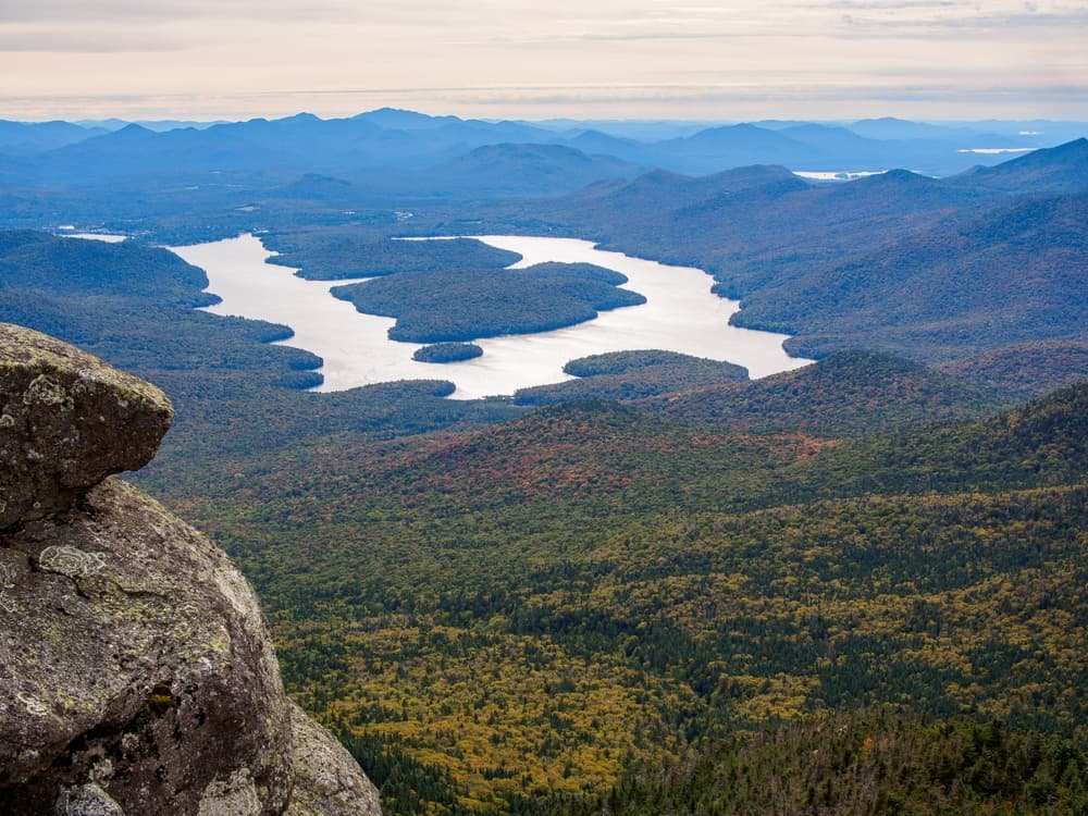
The Adirondack 46er challenge involves climbing all 46 of the highest mountains in the Adirondack Mountains, each over 4,000 feet in elevation. This challenge, a longstanding tradition, requires hikers to summit each of these peaks, with some being "trailless" (lacking officially maintained trails).
Quick facts
- peaks
- 46located
- shape
- collection
- total distance
- 250 miles
- best season
- Anytime
- avg completion
- 1-5 years
Loading your progress…
Map and places
Choose a place. Visit in any order.
Journey overview
8 of 46 places. Open the full itinerary to explore any place.
- PlaceAdirondack Park, NY

Mount Marcy, the tallest peak in New York, is the crown jewel of the Adirondack High Peaks. Known as Tahawus by the Mohawk people ("Cloud Splitter"), it offers sweeping panoramic views and a rewarding backcountry experience. The trek to the summit is popular but strenuous,…
- PlaceAdirondack Park, NY
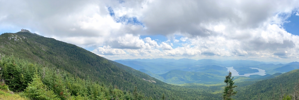
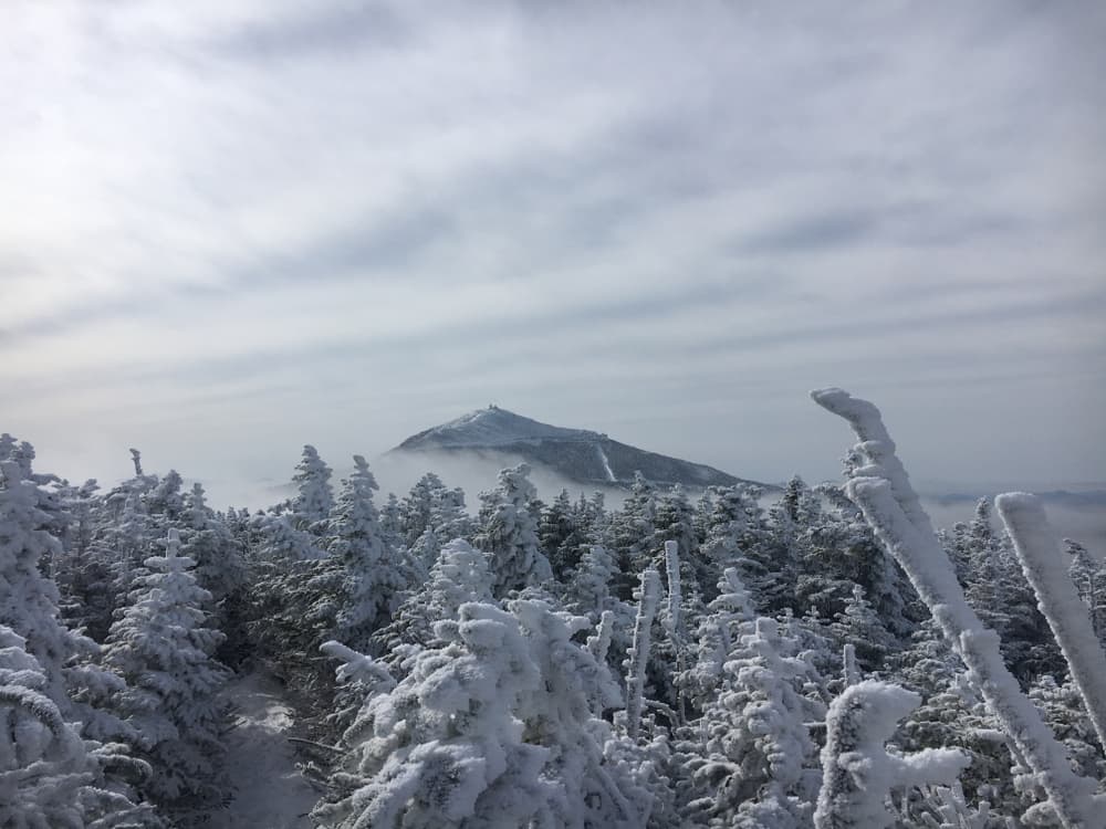
Whiteface Mountain stands out among the 46ers for its unique accessibility and panoramic summit views. Known for hosting a ski resort and a summit road, it also offers a rigorous hiking route. It’s the only High Peak with a road and elevator to the top, making it a mix of…
- PlaceAdirondack Park, NY
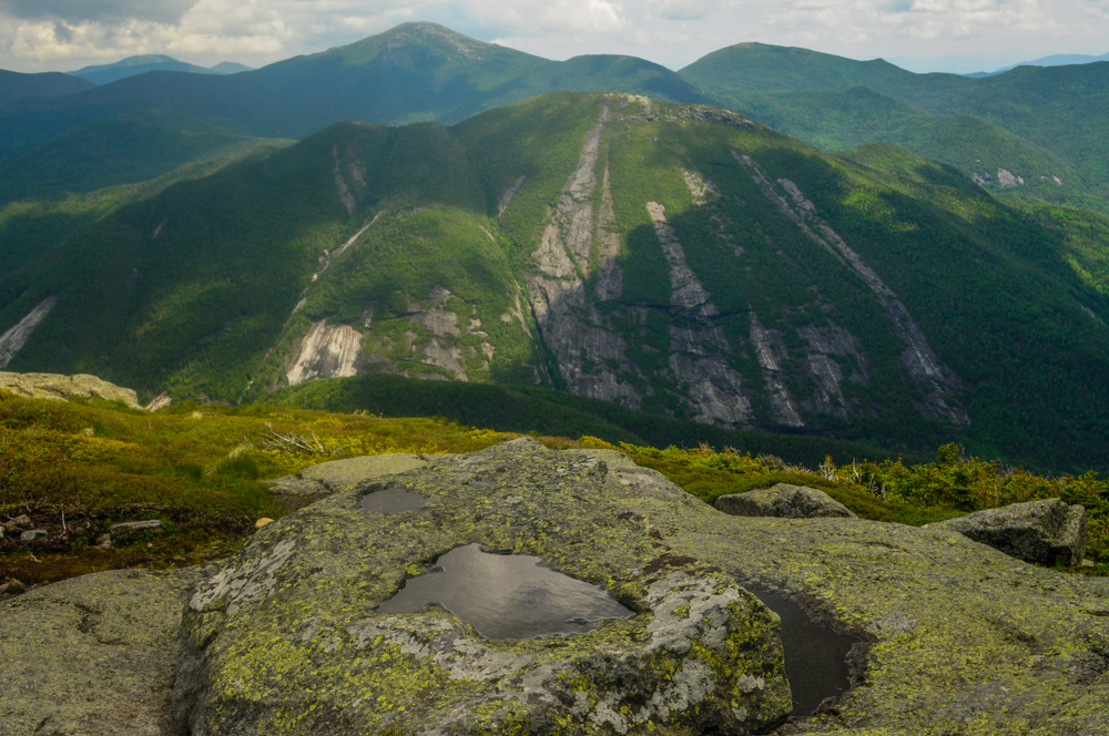
Mount Colden is famous for its dramatic slides and iconic views of Mount Marcy and Avalanche Lake. Multiple approach routes offer variety, including the scenic loop past Lake Arnold and the more technical ascent via the Colden Trap Dike (for experienced scramblers only).
- PlaceAdirondack Park, NY
.jpg)
Panther Peak, part of the remote Santanoni Range, is often climbed along with Santanoni and Couchsachraga in a long day. The summit offers great views toward the western High Peaks and is one of the more pleasant climbs in this trio, with a clear herd path most of the way.
- PlaceAdirondack Park, NY
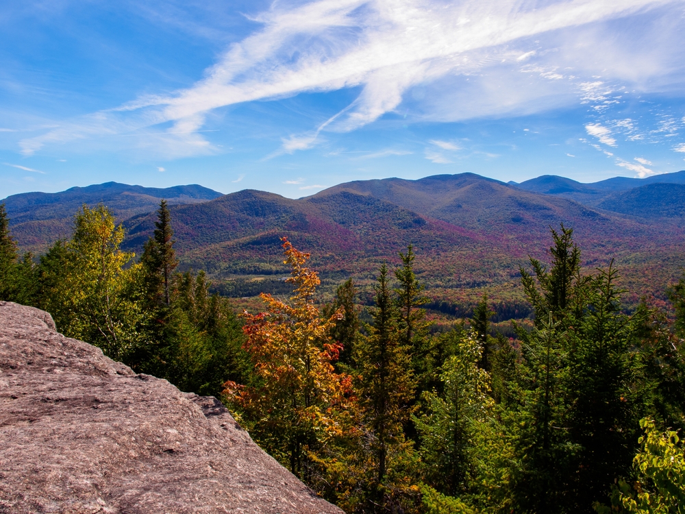
Allen Mountain is notorious among 46ers for its long, muddy approach and slippery red algae-covered slabs. Despite its reputation, the climb offers beauty and challenge for hikers seeking solitude and adventure. The views from the summit are limited, but the experience of…
- PlaceAdirondack Park, NY
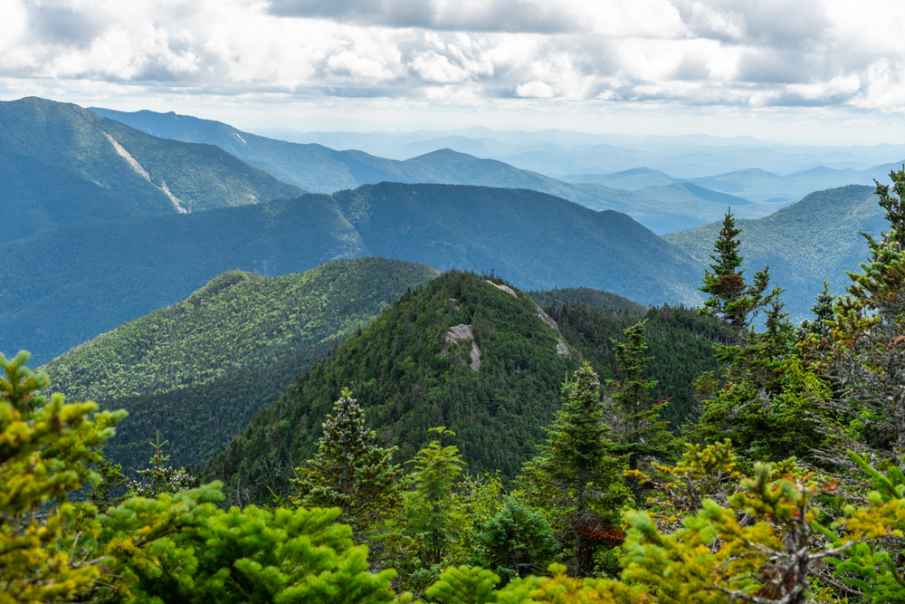
Donaldson Mountain is one of the three core Seward Range peaks, often climbed in a trio with Seward and Emmons. It offers some of the best views in the range from ledges just off the summit. The herd path via Calkins Brook is the most pleasant route, though still challenging.
- PlaceAdirondack Park, NY
.jpg)
Emmons is the southernmost and lowest of the Seward Range peaks. Though the summit is wooded and lacks views, nearby ledges offer glimpses into the vast wilderness. It’s most often climbed as part of a strenuous triple traverse with Donaldson and Seward, making for a full,…
- PlaceAdirondack Park, NY
.jpg)
Despite falling short of 4,000 feet due to a later survey, Couchsachraga remains on the original 46er list. The hike to its wooded summit is notoriously muddy and remote, earning it a reputation as one of the toughest 46ers. Still, it’s a rite of passage for every aspiring 46er.
You can explore the itinerary while it loads.
Pins show individual places; there is no route between them. Select a pin to read its place in the itinerary.
Overview
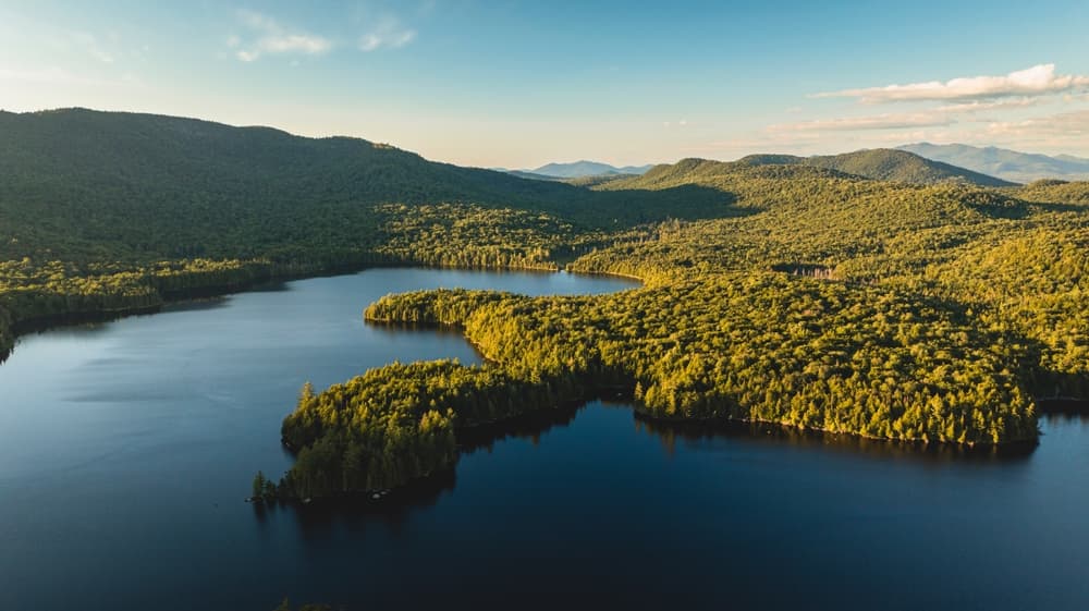
The Adirondack 46ers represents one of America's most prestigious hiking challenges, drawing thousands of dedicated hikers annually to tackle all 46 peaks above 4,000 feet in New York's Adirondack Park. This legendary peak-bagging quest transforms casual hikers into seasoned mountaineers as they explore the diverse wilderness landscapes of America's largest protected area outside Alaska. As of November 2024, there were over 16,000 registered Forty-Sixers.
Statistics and Elevation Profile
The complete Adirondack 46ers challenge encompasses approximately 300+ miles of hiking with over 75,000 feet of total elevation gain, making it a substantial multi-year undertaking for most hikers. Highest Peak: Mount Marcy at 5,344 feet, New York's tallest mountain Most Challenging: Mount Haystack and Skylight require significant technical hiking skills Shortest Hikes: Cascade and Porter can be completed together in a single day Longest Hikes: Mt. Skylight17.9 miles · 15 hours and similar remote peaks require full-day commitments
Highlights and Landmarks
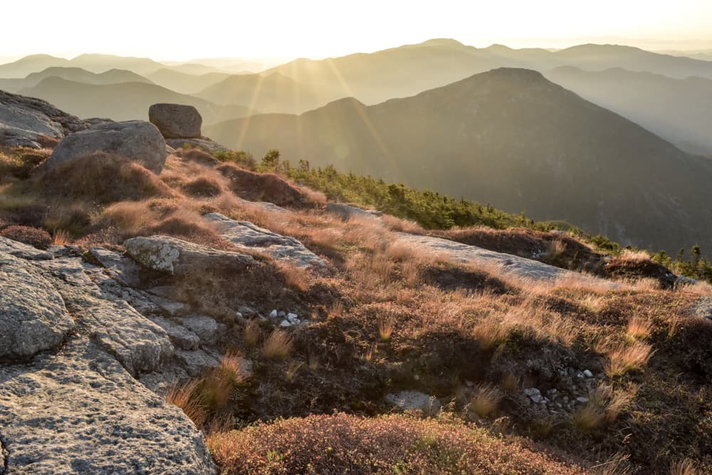
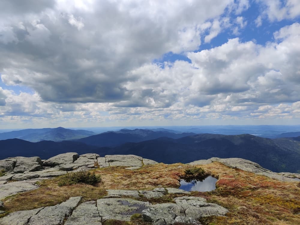
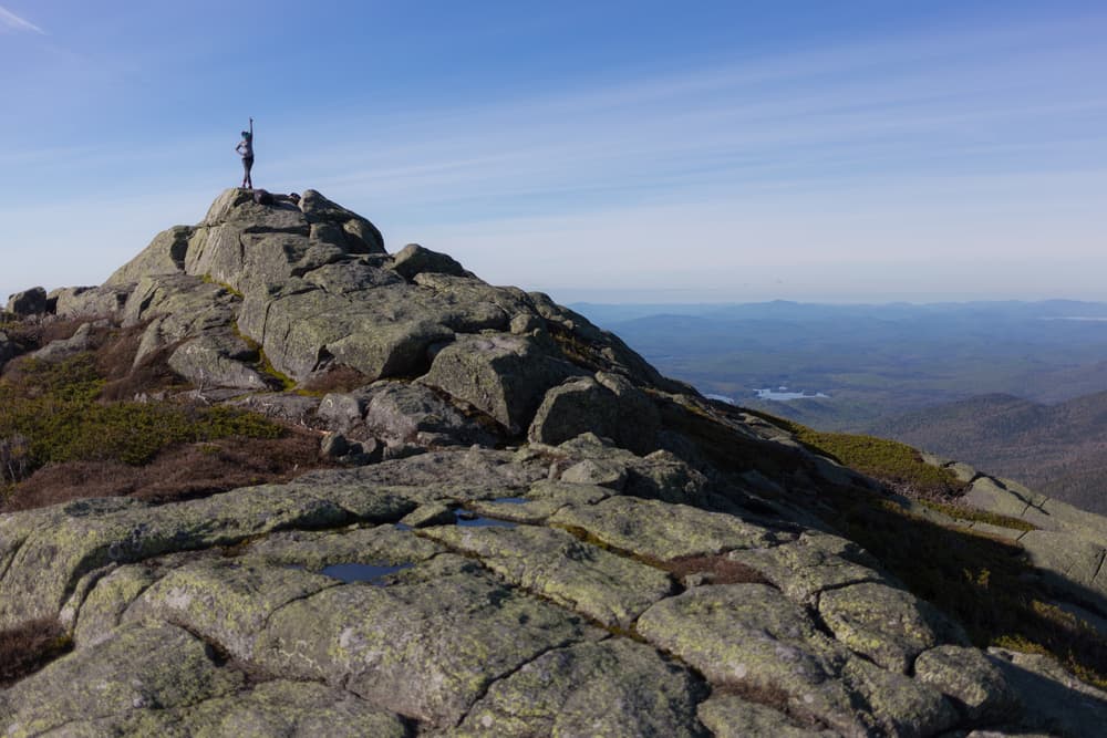
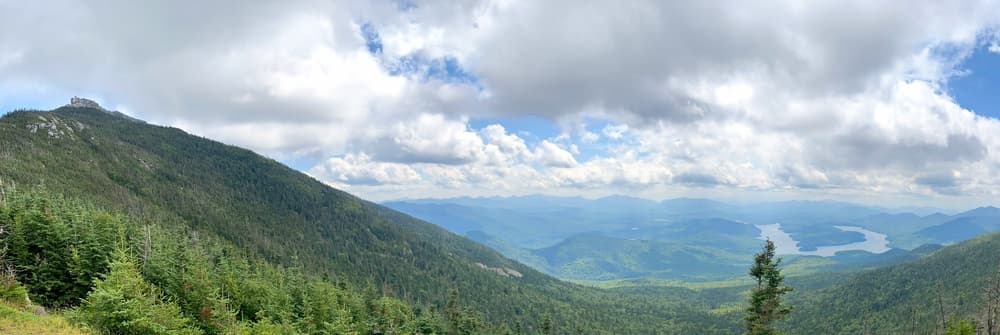
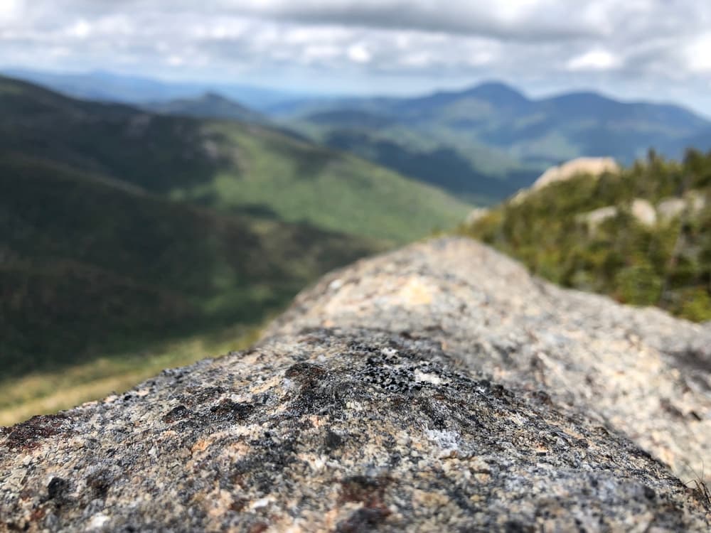
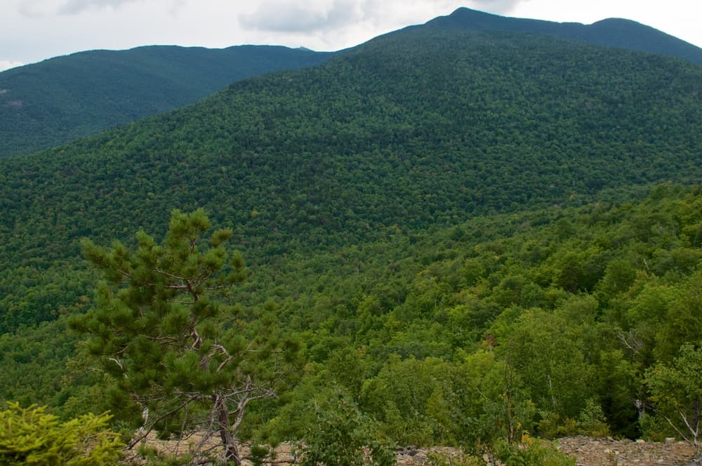
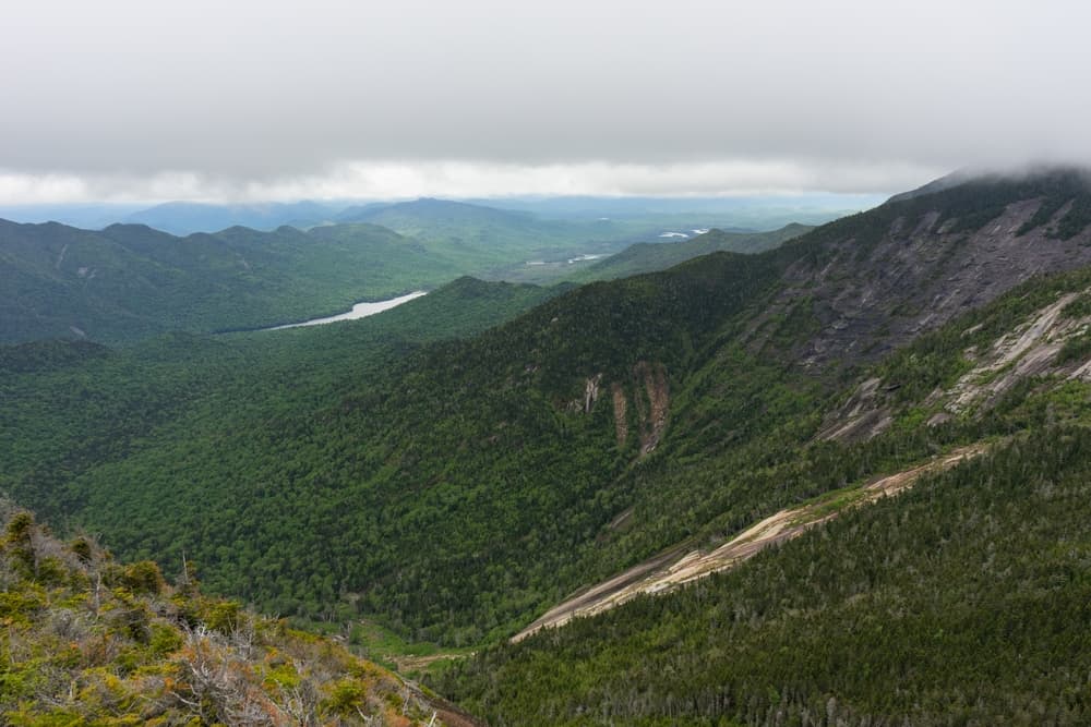
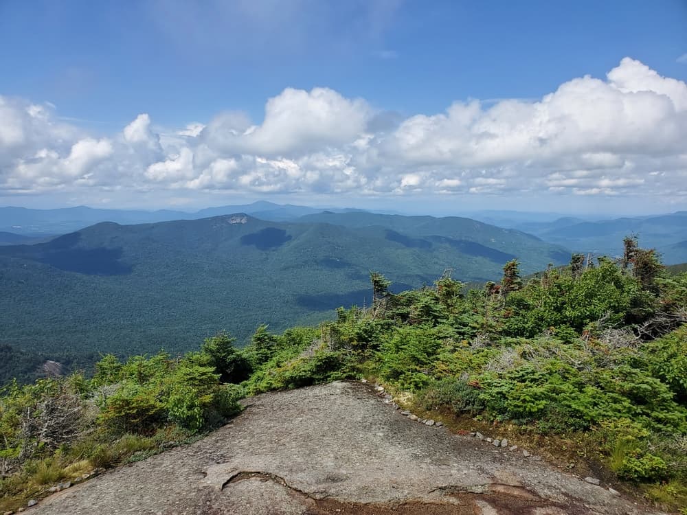
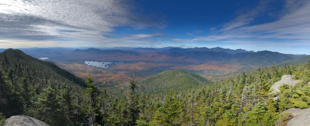
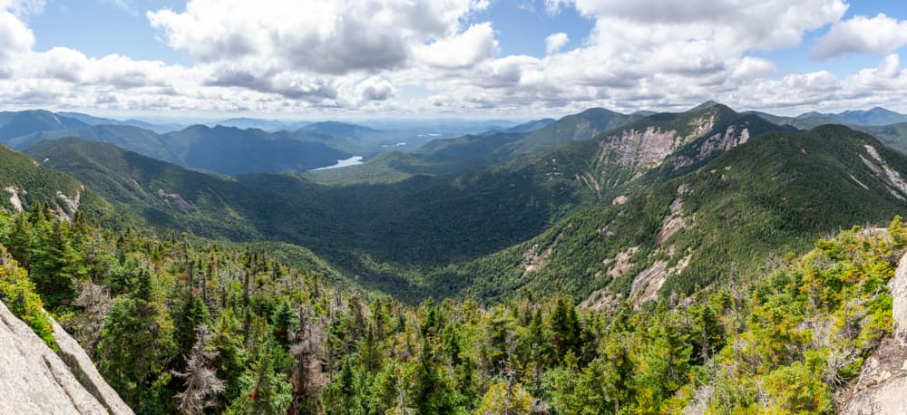
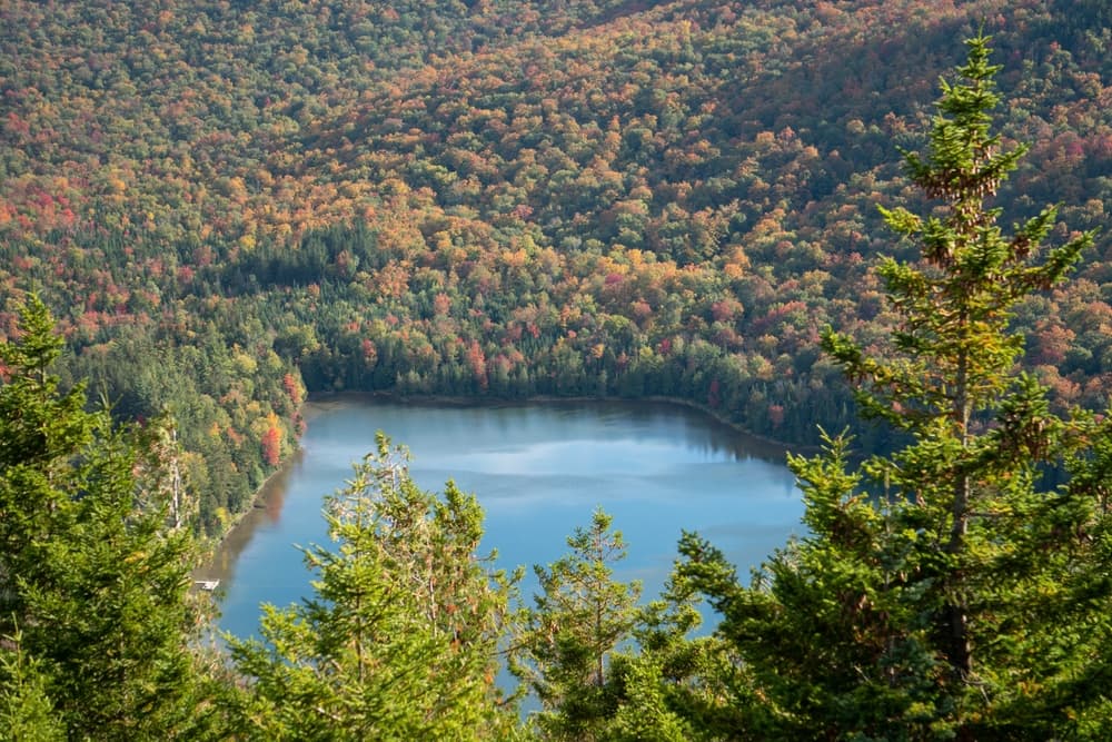
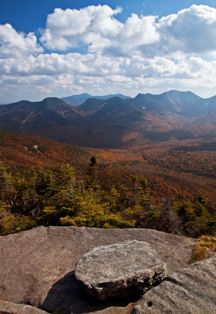
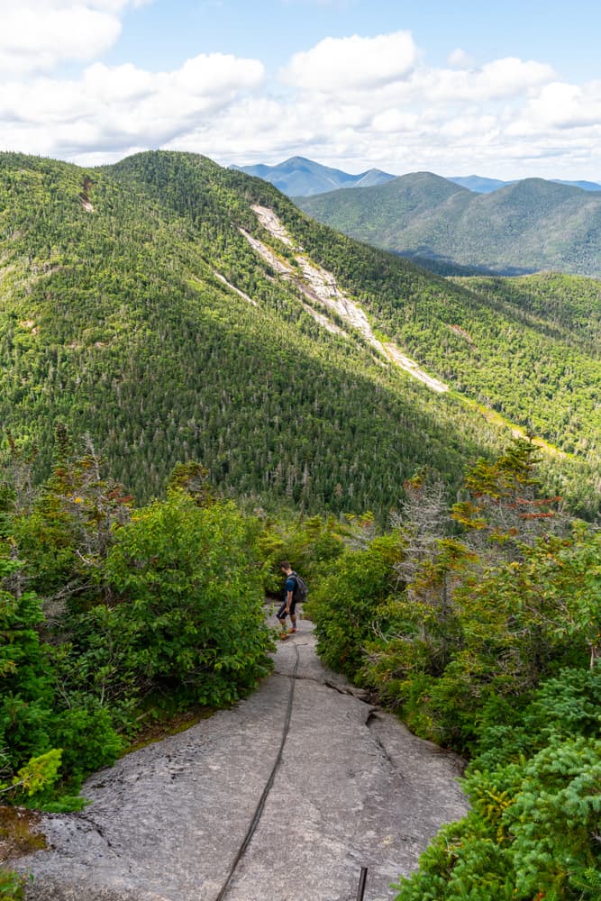
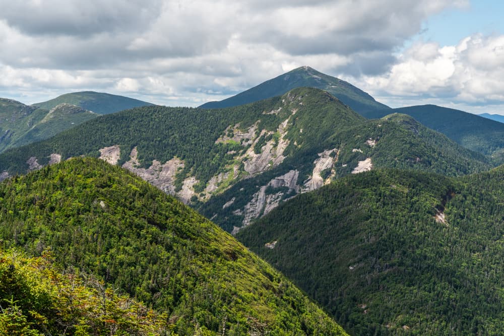
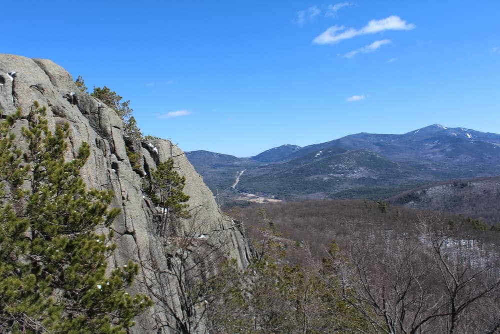
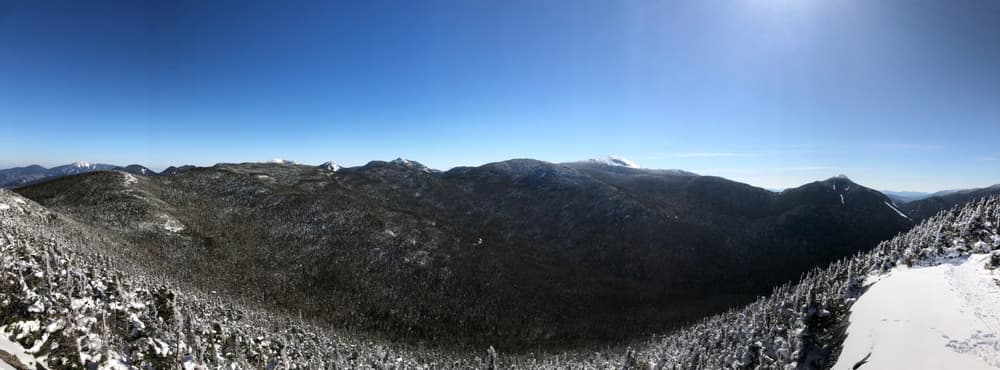
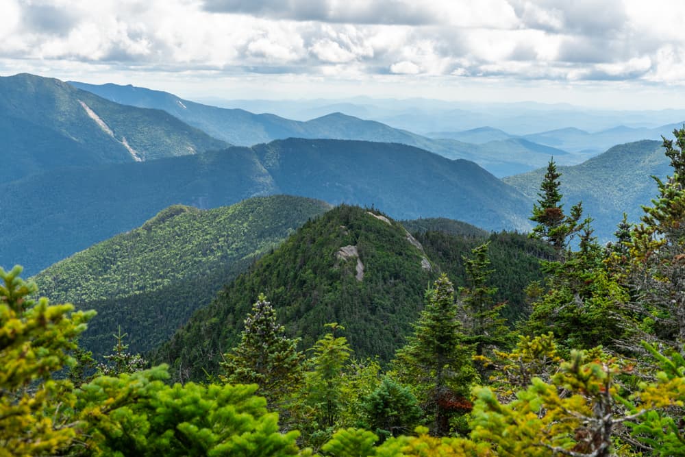
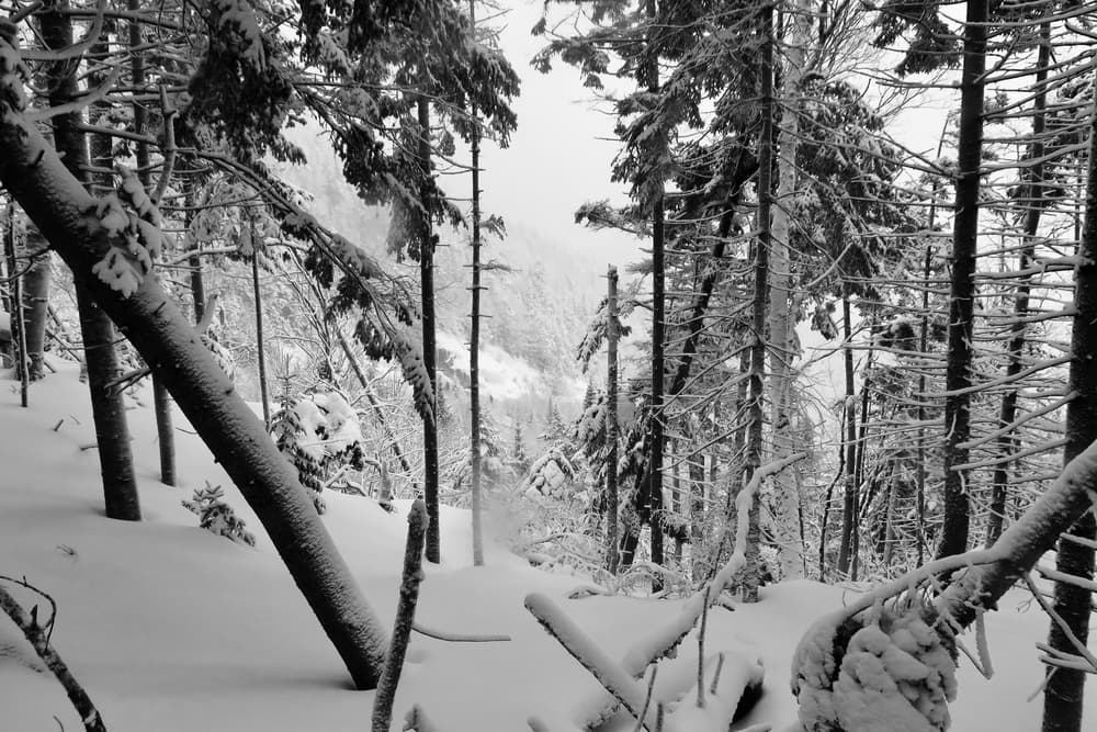
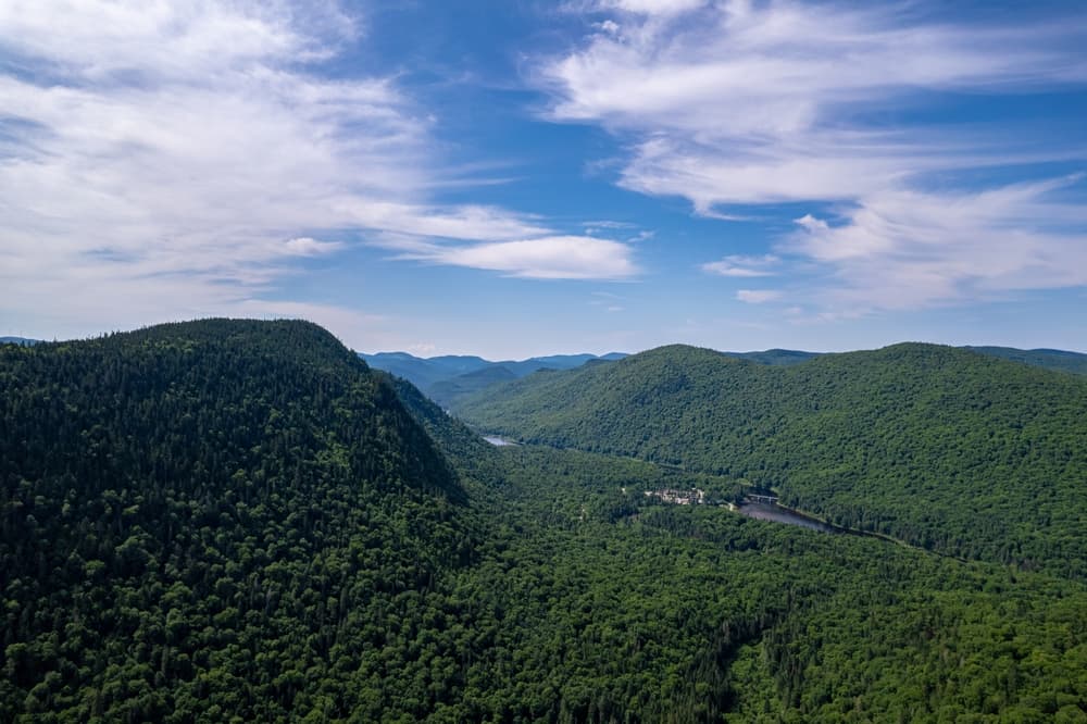
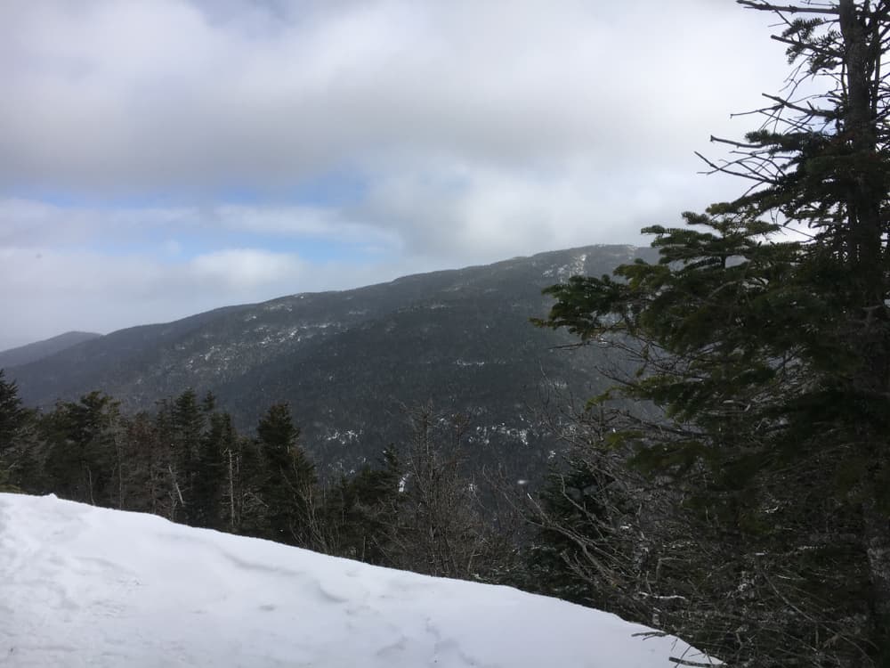
The Adirondack High Peaks showcase incredible diversity from exposed alpine summits to dense boreal forests. Mount Marcy offers panoramic views across the entire Adirondack region, while Algonquin Peak provides the classic above-treeline alpine experience with sweeping vistas of the MacIntyre Range. The Great Range traverse connecting Gothics, Armstrong, and Upper Wolfjaw ranks among the most technical and rewarding ridge walks in the Eastern United States. Avalanche Lake creates one of the most dramatic and photographed locations along the high peaks routes, with towering cliff walls rising directly from the pristine mountain lake. The Trap Dike on Mount Colden offers adventurous hikers a challenging scramble up a natural rock chute, while the summit of Whiteface Mountain can be reached both on foot and by the scenic Whiteface Veterans Memorial Highway.
Culture and History
The Adirondack Park represents a unique experiment in land conservation, combining public and private lands within a six-million-acre "Blue Line" boundary established in 1892. This "forever wild" designation created America's first wilderness area, predating Yellowstone National Park's wilderness designation by decades. The region's complex history includes logging operations, mining activities, and the development of the Great Camps that hosted wealthy industrialists seeking wilderness recreation. Native American tribes, particularly the Mohawk and Algonquin peoples, traveled these mountains for centuries before European settlement. The name "Adirondack" itself derives from a Mohawk term meaning "bark-eaters," originally used to describe their northern neighbors. Traditional hunting and fishing grounds throughout the high peaks region supported indigenous communities through seasonal migrations and resource gathering.
Geology
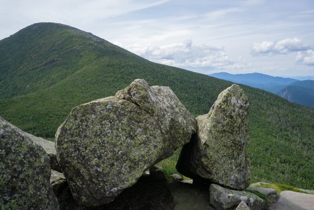
The Adirondack Mountains represent some of North America's oldest exposed rock, with anorthosite formations dating back over one billion years. Unlike most Eastern mountain ranges formed by tectonic collision, the Adirondacks are an uplifted dome of ancient Precambrian rock that continues rising at approximately 2-3 millimeters annually. This unique geological foundation creates the distinctive rounded peaks and exposed rock faces that characterize the high peaks region. The region's complex geological history includes multiple periods of glaciation that carved the characteristic U-shaped valleys, cirques, and alpine lakes visible throughout the high peaks. Ancient metamorphic rocks, including anorthosite similar to moon rock samples, create the light-colored exposed summits found on peaks like Mount Marcy and Algonquin. These geological processes formed the distinctive landscape that supports diverse ecosystems ranging from northern hardwood forests at lower elevations to rare alpine plants found only above treeline.
Essential Gear
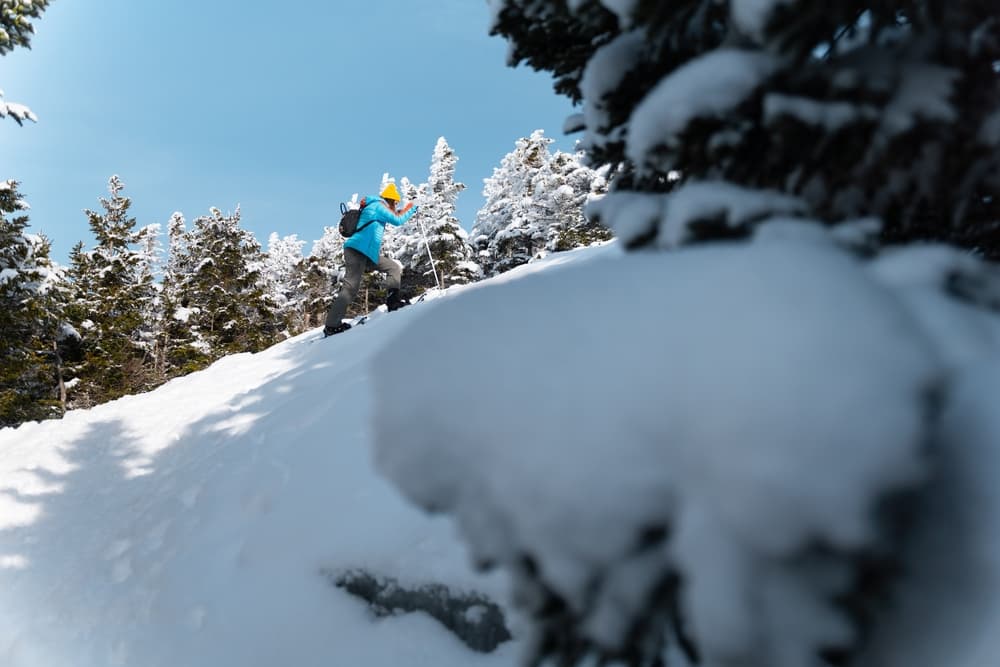
Successful 46ers expeditions require gear suitable for extreme weather conditions and technical terrain. Sturdy, broken-in hiking boots with aggressive tread patterns prove essential for wet rock scrambles and steep descents common throughout the high peaks. Microspikes or lightweight crampons become necessary for shoulder season hiking when icy conditions persist on shaded north-facing slopes. Weather protection requires particular attention, given the Adirondacks' reputation for rapid weather changes and severe storms. Waterproof jackets and pants provide essential protection against frequent rainfall and sudden temperature drops. Insulating layers should include both synthetic and down options, as conditions can range from summer heat in valleys to near-freezing temperatures on exposed summits even during peak season. Navigation equipment must include detailed topographic maps, a compass, and GPS devices with downloaded offline maps. Cell service remains spotty throughout much of the high peaks region, making electronic backups and traditional navigation skills essential. Safety equipment should include first aid supplies, an emergency whistle, a headlamp with extra batteries, and an emergency shelter for unexpected weather delays.
Accommodation
The Adirondack 46ers challenge typically requires multiple approaches to accommodation, given the spread of peaks across the region. Backcountry lean-tos provide free overnight options for multi-day expeditions, though advance planning and proper permits ensure availability during peak seasons. Popular lean-to sites include those around Lake Colden, near Marcy Dam, and throughout the Johns Brook Valley. Base camping at established campgrounds like Heart Lake, North Hudson, and Putnam Pond allows access to multiple peaks while maintaining comfortable accommodations. These facilities offer bathhouses, camp stores, and trail information, making them ideal headquarters for extended 46ers campaigns. Private campgrounds throughout the region provide additional options with varying amenities and proximity to trailheads.
Food and Water
Water sources throughout the high peaks require careful consideration and proper treatment. Natural springs and streams provide abundant water in most areas, though proper filtration or purification remains essential for safety. Popular water sources include the spring near Lake Arnold, streams throughout Johns Brook Valley, and the reliable water source at Marcy Dam. Backcountry camping requires careful food storage using bear canisters in designated areas where required. The Adirondacks maintain healthy black bear populations, making proper food storage critical for both safety and wildlife protection. Many experienced 46ers develop efficient meal planning systems that balance nutrition, weight, and preparation time for long hiking days. Resupply options exist in gateway communities, with the Adirondack Loj, Eastern Mountain Sports in Lake Placid, and various country stores providing hiking food and last-minute gear needs. Self-sufficient hikers often cache supplies at strategic locations for multi-day expeditions, following Leave No Trace principles and local regulations.
Navigation
Most Adirondack High Peaks follow well-established trails marked with official DEC trail markers and maintained by volunteer organizations. The standard yellow DEC trail markers provide primary navigation, supplemented by informal cairns and herd paths on trailless peaks. However, weather conditions, seasonal changes, and trail relocations require solid navigation skills and proper equipment. Essential maps include the Adirondack Mountain Club's high peaks region map series, providing detailed topographic information for all 46 peaks. The National Geographic Trails Illustrated maps offer waterproof durability ideal for extended expeditions. Digital applications like AllTrails, Gaia GPS, and AvenzaMaps provide offline capability essential for areas without cell coverage. Several peaks, including Cliff, Marshall, and Redfield, require navigation skills for trailless approaches following informal herd paths and compass bearings. These "trailless peaks" represent some of the most challenging navigation in the 46ers quest, requiring experience with map and compass techniques and the ability to follow subtle path indicators through dense forest.
Safety and Risk Management
Adirondack hiking presents significant risks requiring constant awareness and proper preparation. Weather changes rapidly at high elevations, with afternoon thunderstorms creating lightning hazards on exposed summits and ridges. Winter conditions can persist into late spring and return early in fall, catching unprepared hikers in dangerous situations. Stream crossings present ongoing hazards, particularly during spring runoff and after heavy rainfall. Popular crossings like the Opalescent River and various brook crossings throughout the high peaks have claimed lives when water levels exceed safe limits. Emergency communication remains challenging in many areas, making satellite communication devices valuable for serious emergencies. Wildlife encounters, particularly with black bears, require proper food storage and awareness of bear behavior. The growing moose population creates additional considerations for hikers, especially during rutting season when bull moose become aggressive. Hypothermia risks persist year-round given the combination of elevation, weather exposure, and potential for getting lost or injured far from help.
Permits and Fees
Most Adirondack High Peaks hiking requires no special permits or entrance fees beyond parking charges at popular trailheads. However, the NY Department of Environmental Conservation and Adirondack Mountain Reserve (AMR) announced the pilot reservation system would be put in place for trail access from AMR land, affecting access to several high peaks, including Giant, Noonmark, and others accessed from the Ausable Club area. Camping permits become necessary for backcountry camping in designated areas, with group size limitations and specific regulations varying by location. The High Peaks Wilderness Area maintains the most restrictive camping regulations, including prohibitions on camping above 3,500 feet elevation and within 150 feet of water sources or trails. Parking fees apply at major trailheads including the High Peaks Information Center, Adirondack Loj, and Upper Works, typically ranging from $10-15 daily during peak season.
Adirondack 46ers: common questions
How long is Adirondack 46ers?
Adirondack 46ers covers 250 miles in total.
How long does Adirondack 46ers take to complete?
Most people complete Adirondack 46ers in about 1-5 years.
When is the best time to do Adirondack 46ers?
The best season for Adirondack 46ers is Anytime.
How many checkpoints does Adirondack 46ers have?
Adirondack 46ers has 46 checkpoints to log on the way to finishing it.
Plan your journey.
Keep this journey for later, or share it with someone you would like to go with.
Northeast routes
More New England hiking challenges
Other Northeast peak challenges hikers tackle alongside the Adirondack 46.