

NH48 New Hampshire 4000 Footers
White Mountains, NH

About this quest
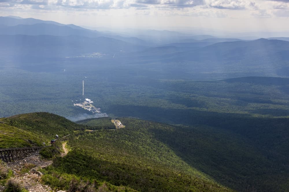
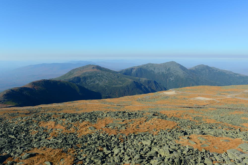
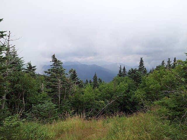
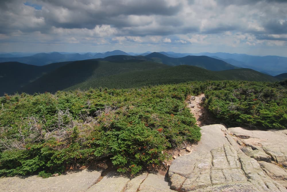
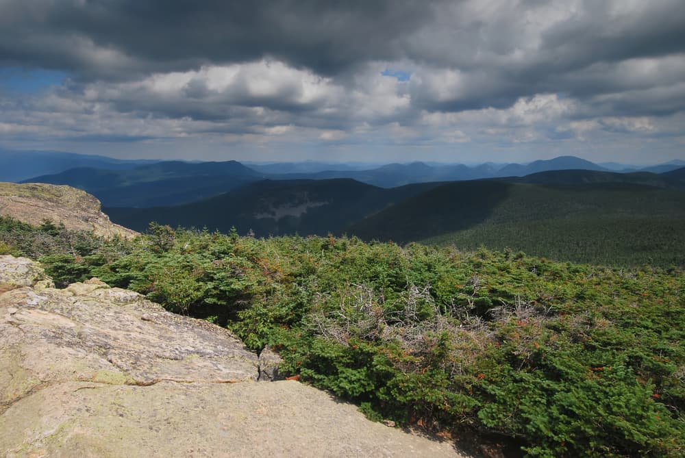
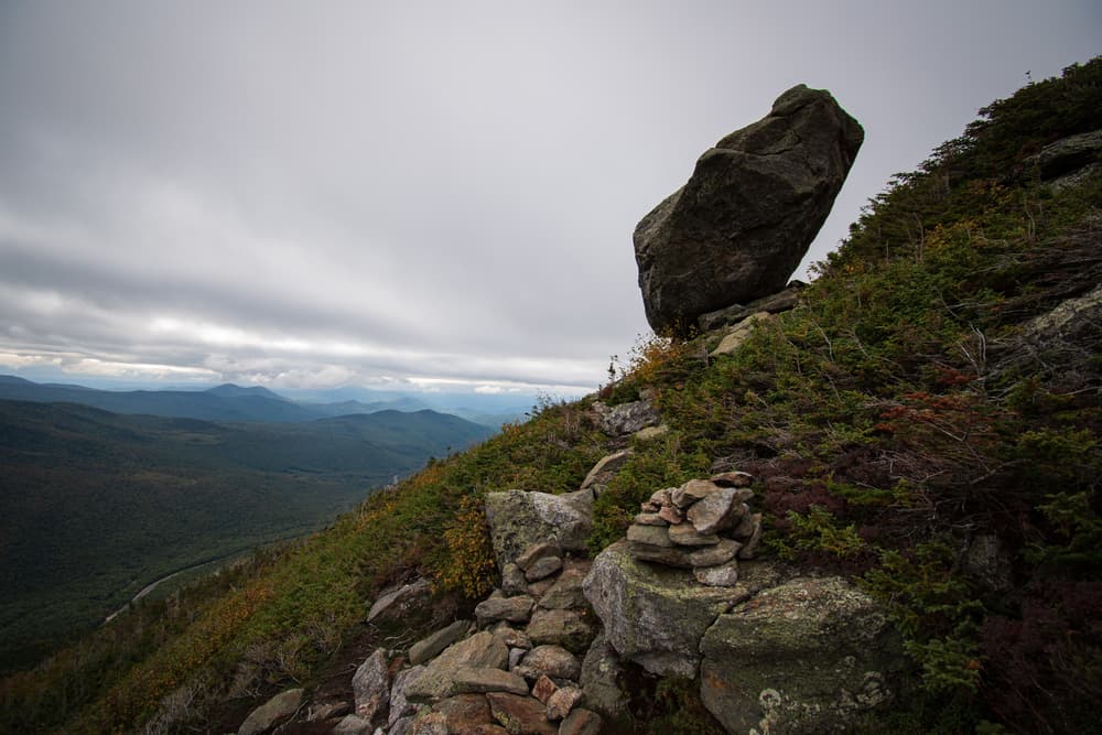
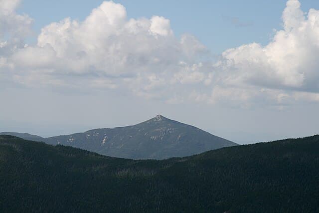
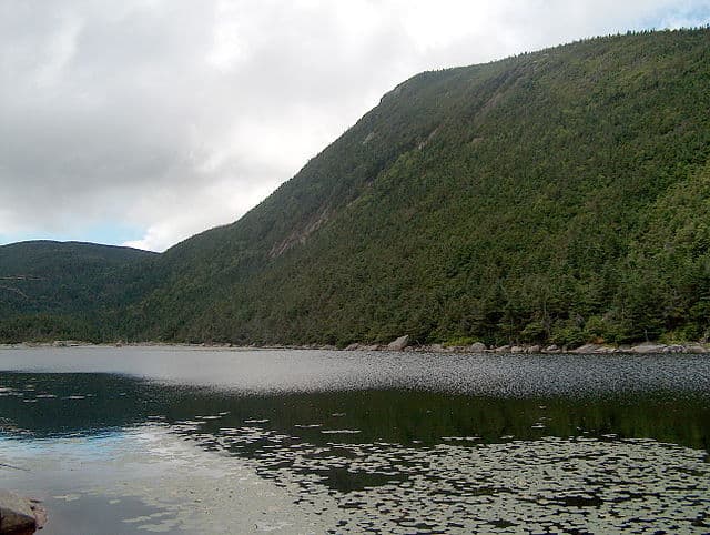
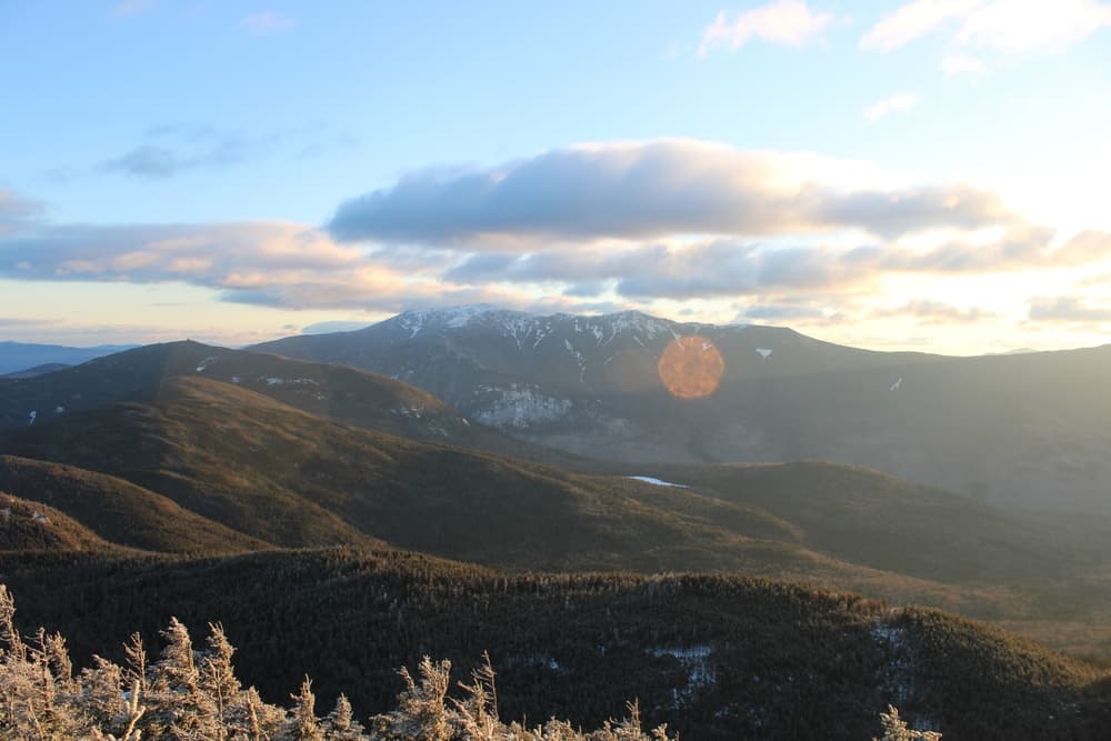
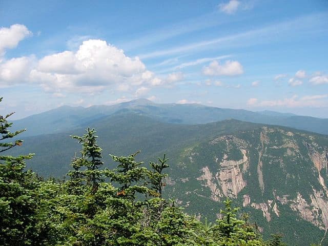
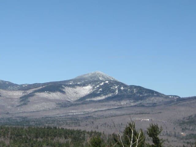
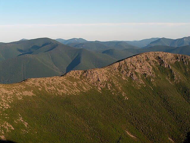
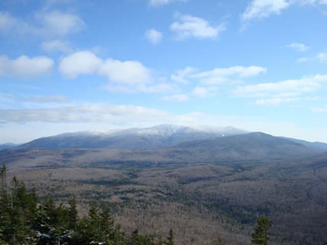
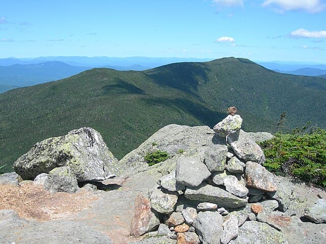
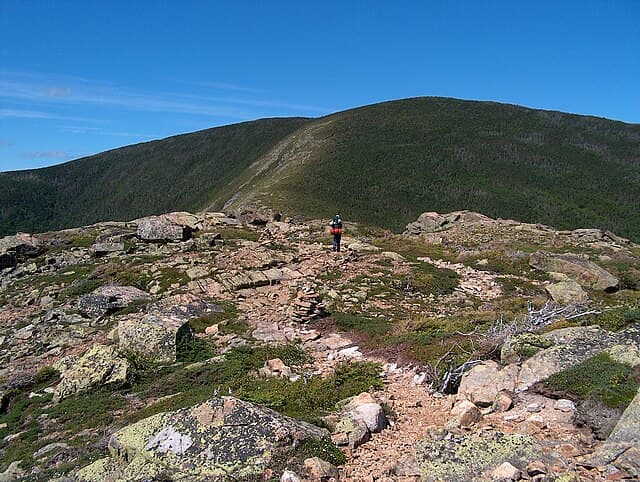
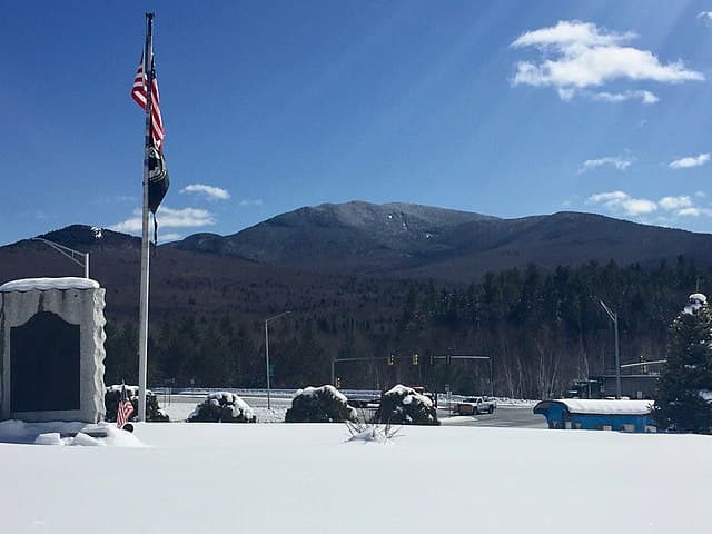
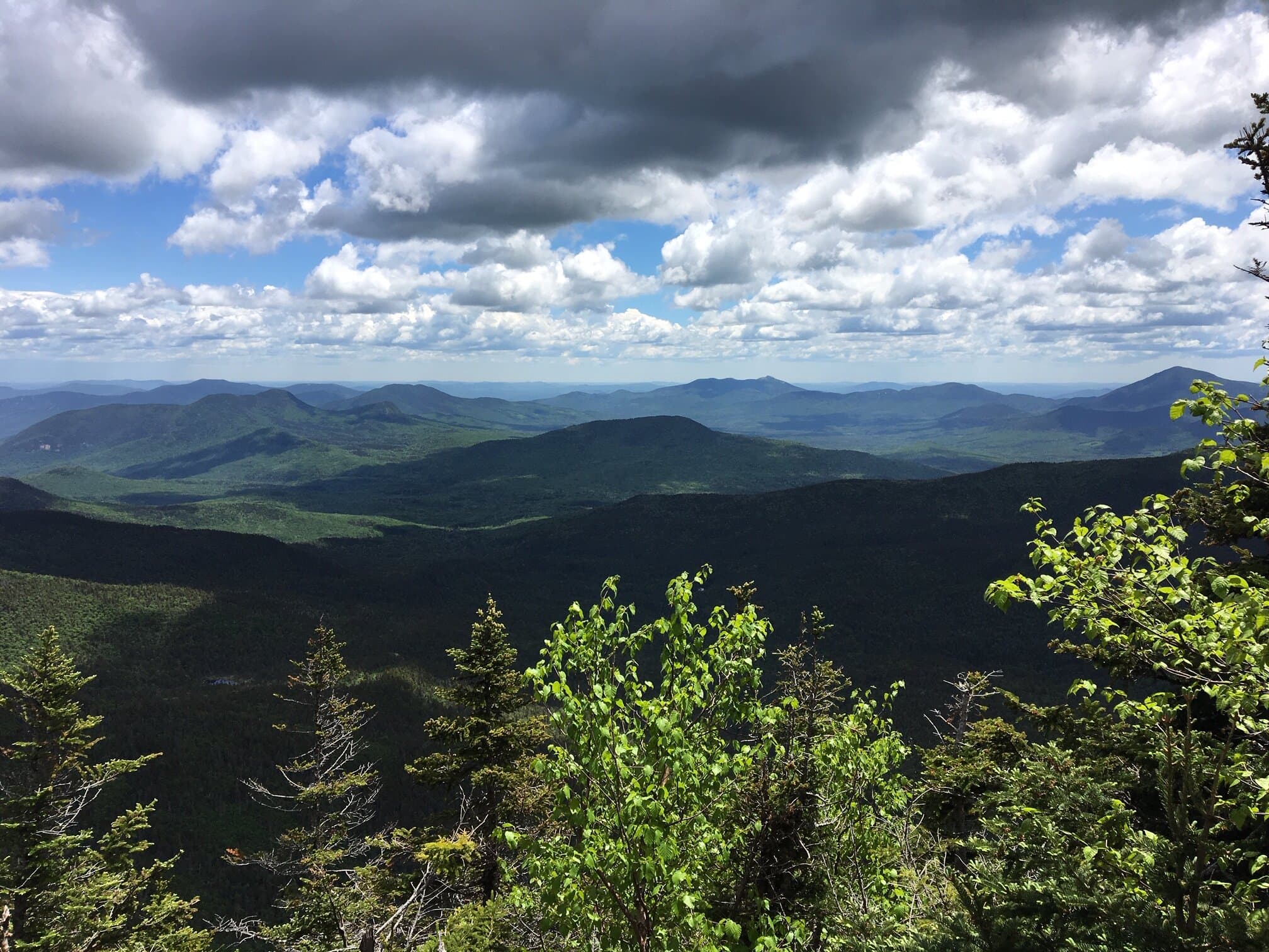
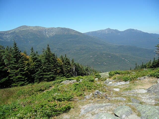
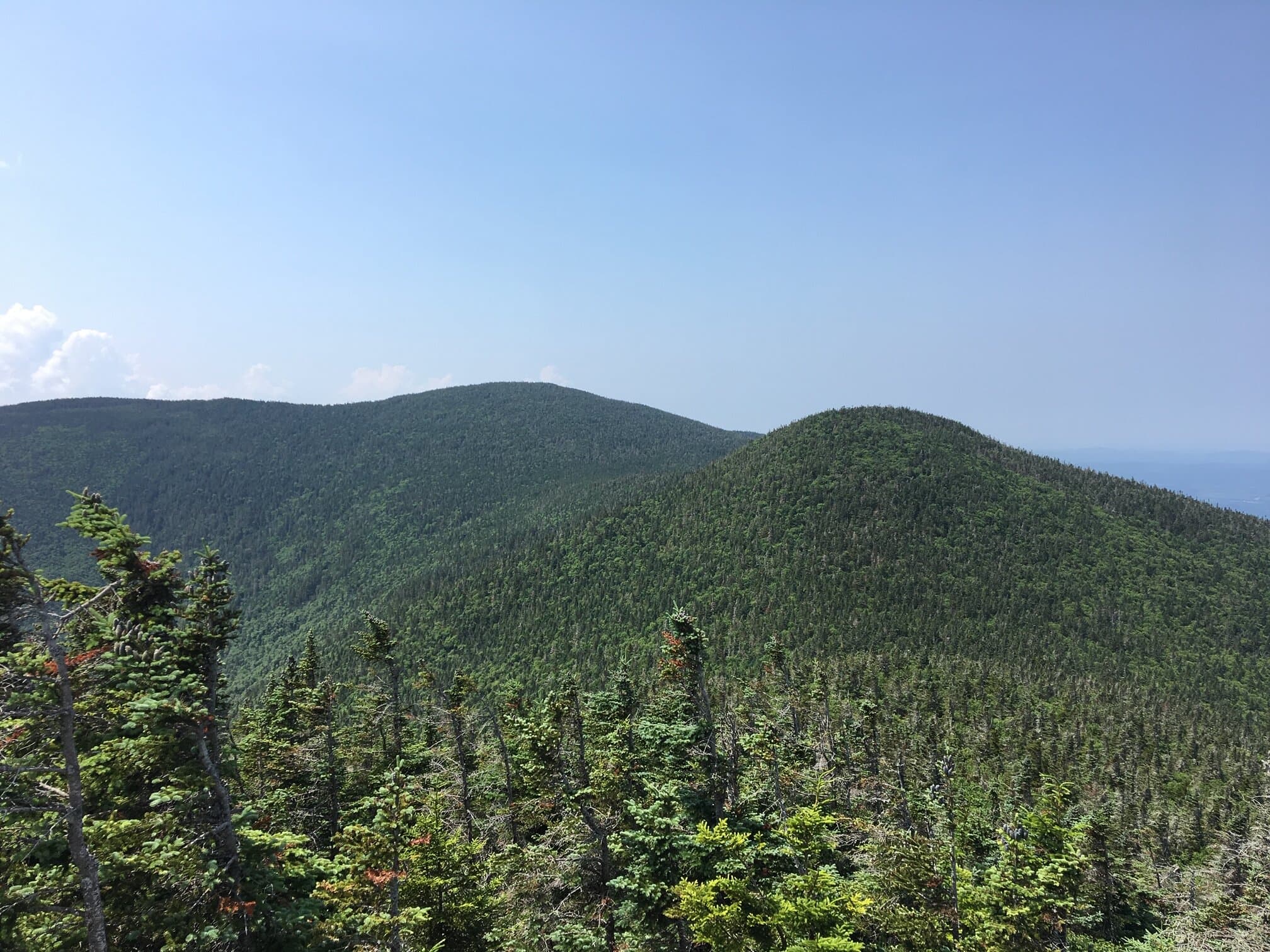
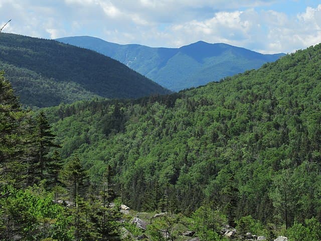
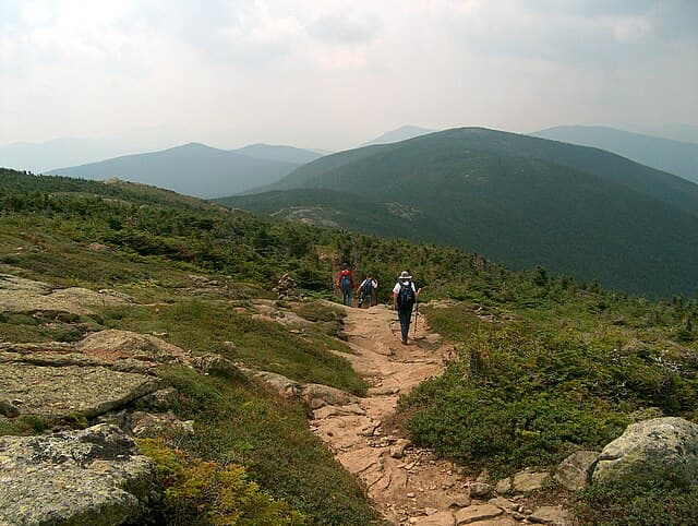
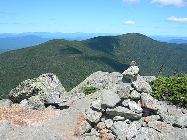
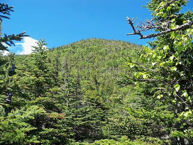
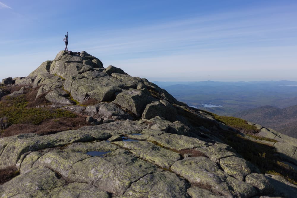
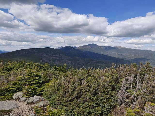
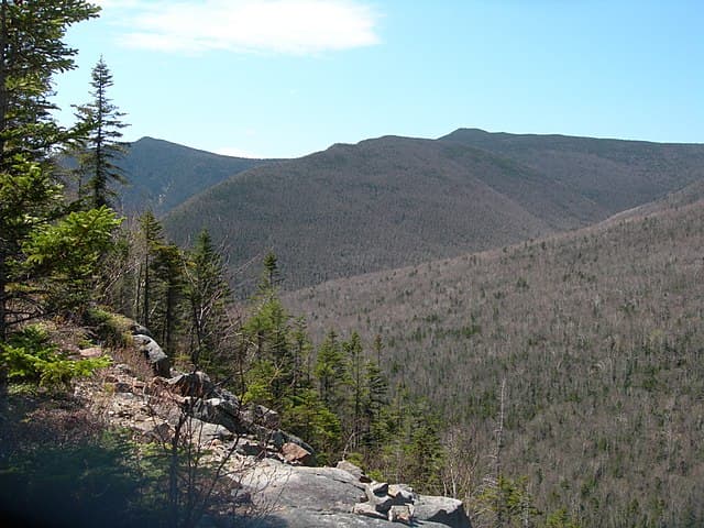
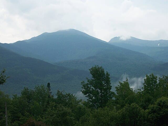
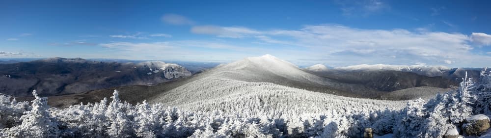
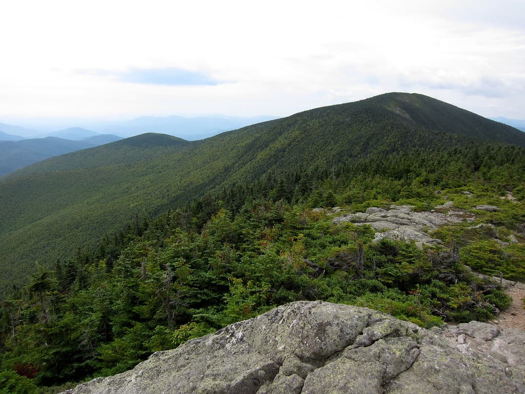
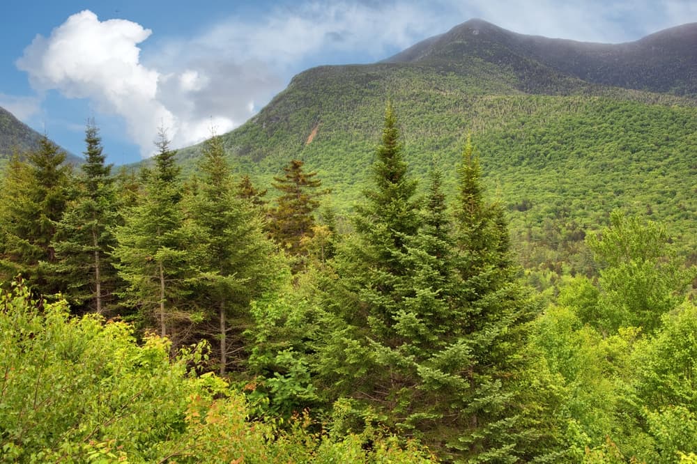
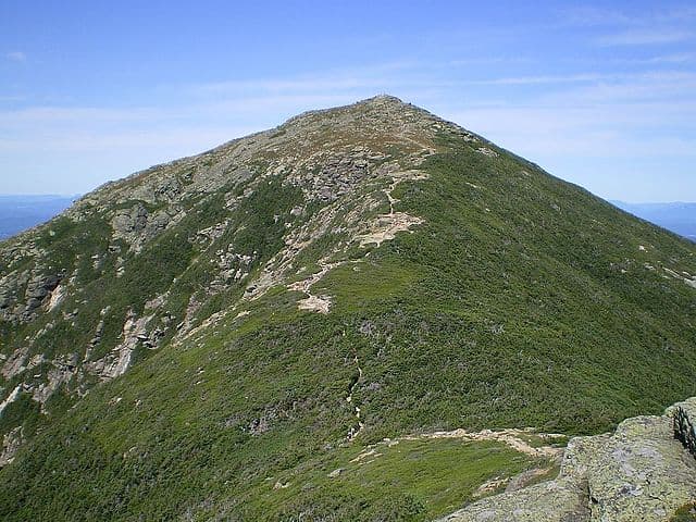
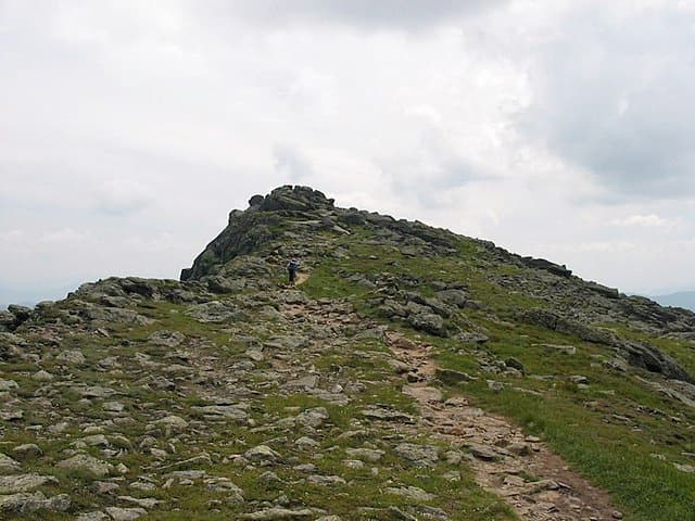
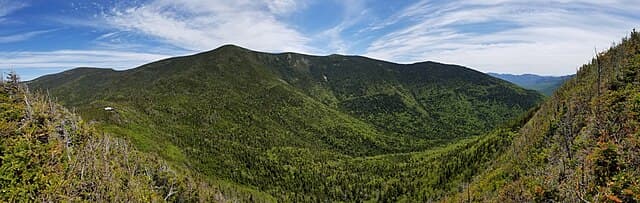
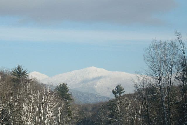
The NH 48 or New Hampshire 48 is a hiking challenge located in New Hampshire and includes all 48 4,000-footers in NH. It crosses rugged terrain, alpine ridges, and dense forests in the White Mountains. These 48 peaks offer a mix of challenging ascents, stunning views, and rewarding summits. From Mount Washington’s fierce weather to the remote Bonds, this challenge is a true test of endurance!
Quick facts
- peaks
- 49located
- shape
- collection
- total distance
- 497 miles
- best season
- Summer, Winter
- avg completion
- 4-7 years
Loading your progress…
Map and places
Choose a place. Visit in any order.
Journey overview
8 of 49 places. Open the full itinerary to explore any place.
- PlaceWhite Mountains, NH
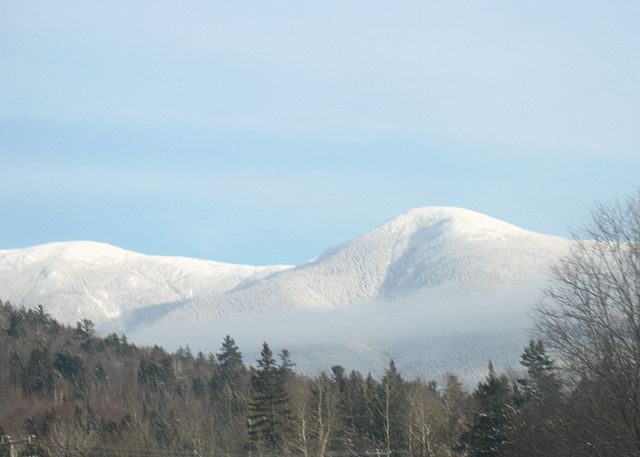
Mount Eisenhower (1,457 m) offers a rounded alpine summit with exceptional views across the Presidential Range. It lies along the Crawford Path, the oldest maintained hiking trail in the U.S.
- PlaceWhite Mountains, NH
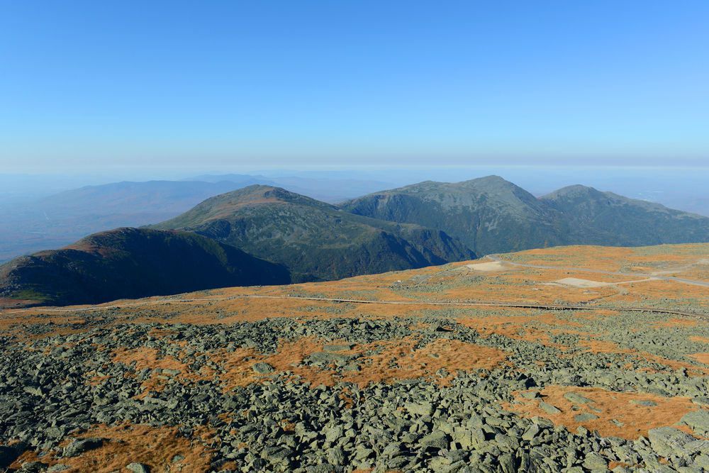
At 1,225 m, Mount Whiteface is part of the Sandwich Range Wilderness. Though wooded at the true summit, its south cliffs offer dramatic views. It's often confused with the open ledge area below.
- PlaceWhite Mountains, NH
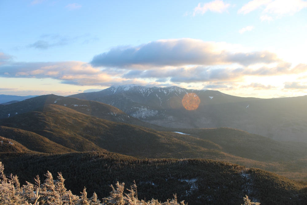
South Kinsman (1,328 m) is the highest point in the Kinsman Range. Its large summit cairn and expansive views make it a highlight of the ridge. Lies along the Appalachian Trail.
- PlaceWhite Mountains, NH
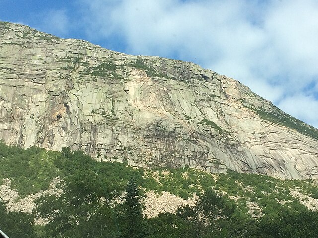
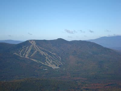
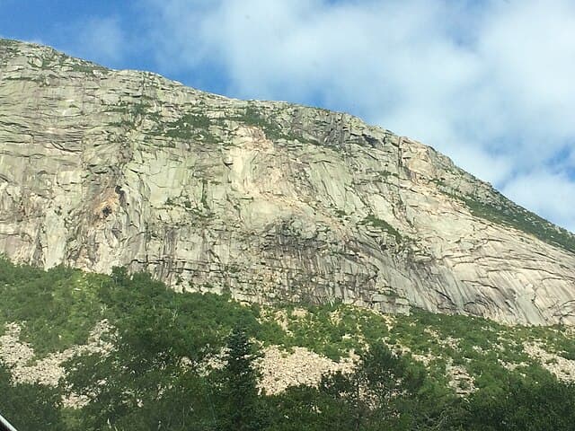
Cannon Mountain (1,250 m) is home to the famous Cannon Cliff and a ski area. It overlooks Franconia Notch and is the site of the former Old Man of the Mountain rock profile.
- PlaceWhite Mountains, NH
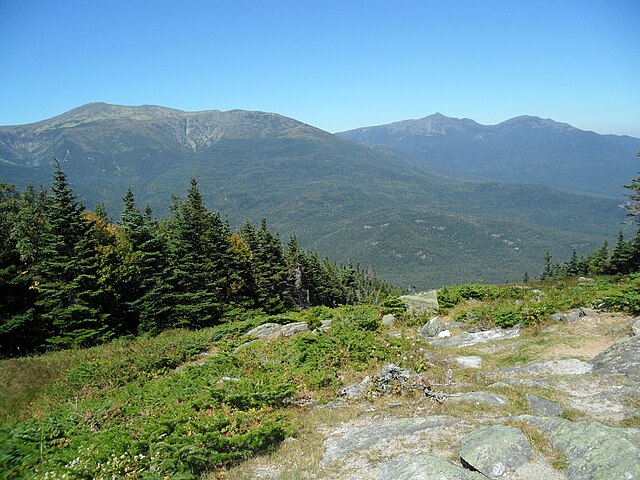
At 1,348 m, Wildcat A is the highest of the Wildcat peaks and sits directly across from Mount Washington. Its summit is wooded, but a short spur offers dramatic views into Carter Notch.
- PlaceWhite Mountains, NH
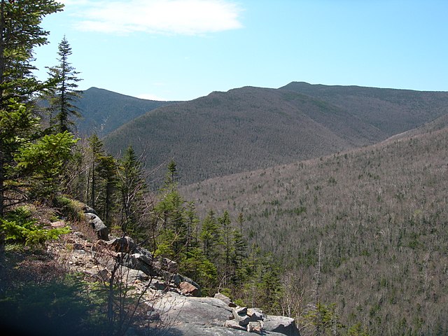
At 1,227 m, Owl’s Head is one of the most remote 4,000-footers in the White Mountains. Tucked deep in the Pemigewasset Wilderness, it’s surrounded by mountains but offers no official trail to its wooded summit.
- PlaceNew Hampshire, United States
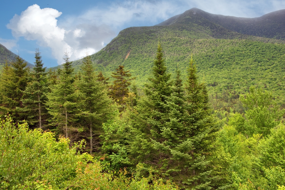
Rising to 1,268 m, East Osceola is part of the Sandwich Range in New Hampshire’s White Mountains. It lies within the White Mountain National Forest and offers rugged terrain with limited summit views.
- PlaceWhite Mountains, NH
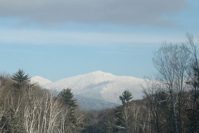
At 1,741 m, Mount Jefferson is the third-highest peak in New Hampshire. Part of the Presidential Range, its summit is fully exposed and lies near the Great Gulf and Jefferson Ravine.
You can explore the itinerary while it loads.
Pins show individual places; there is no route between them. Select a pin to read its place in the itinerary.
Overview
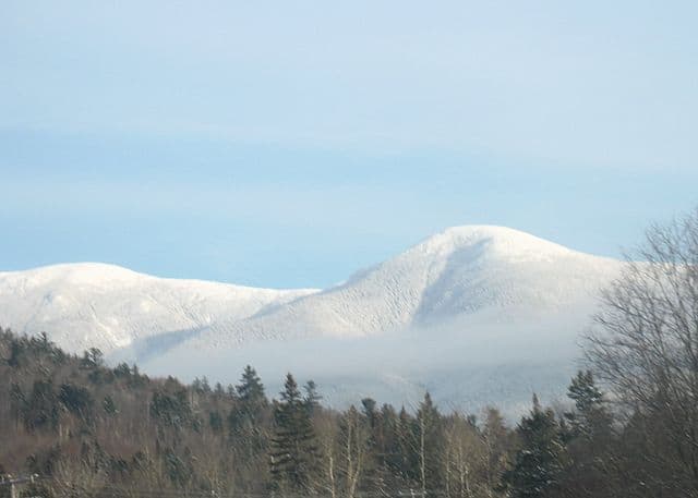
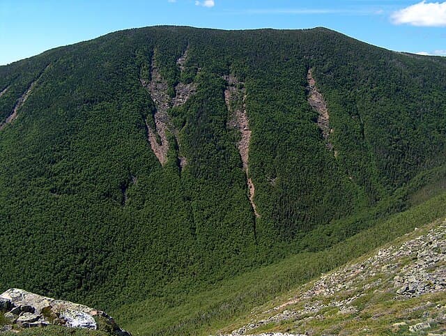
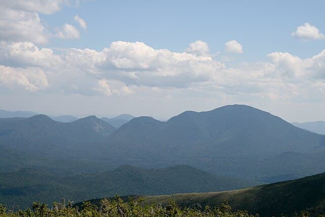
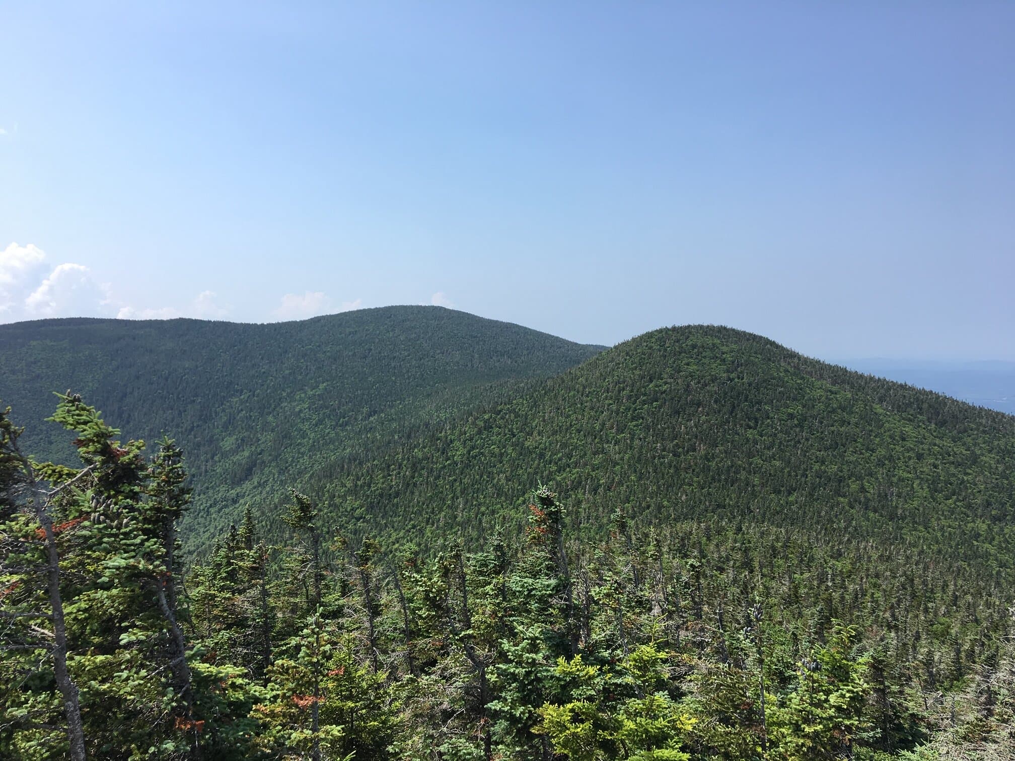
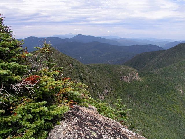
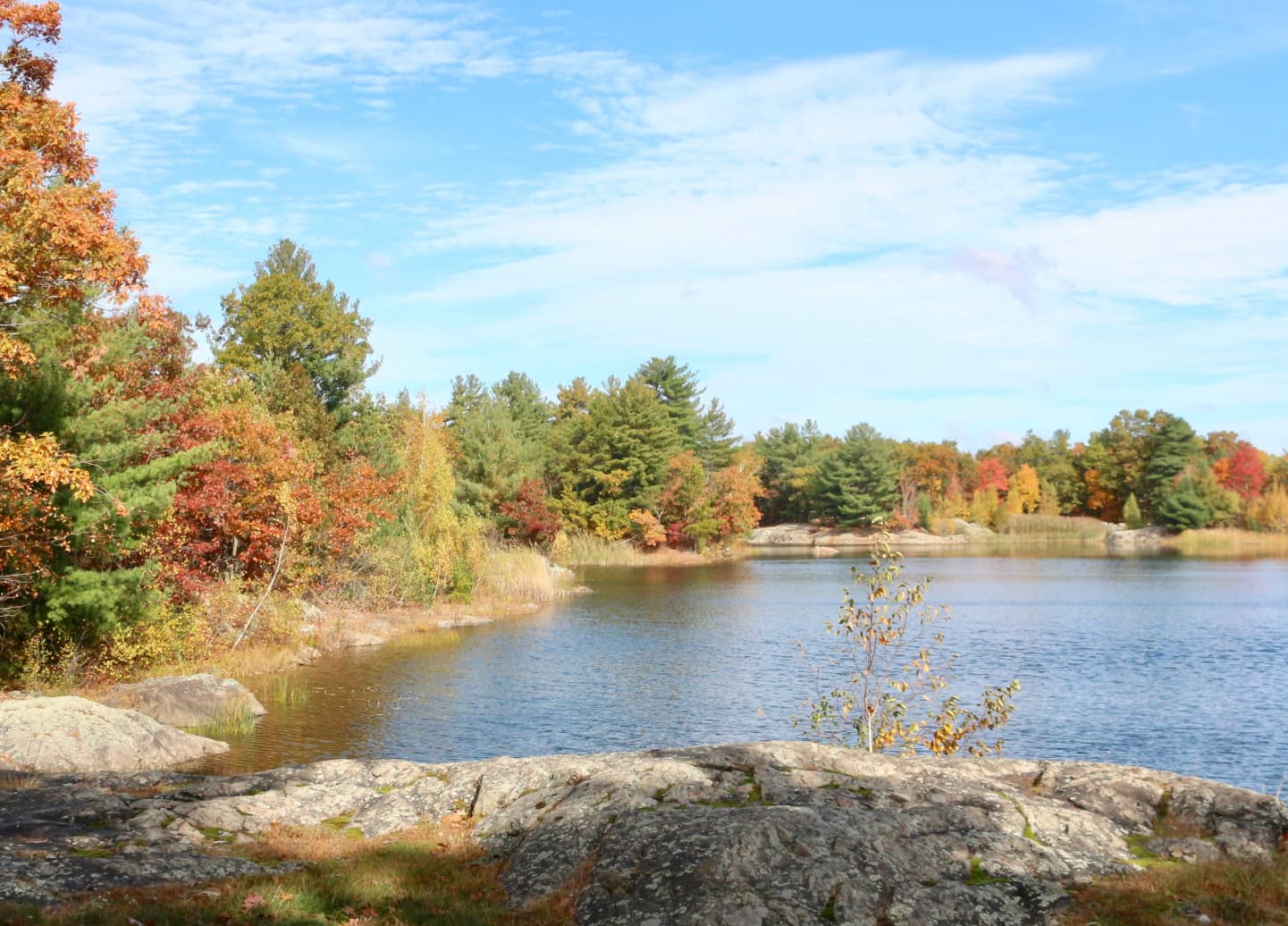
The New Hampshire 48 is a challenging hiking challenge that involves summiting all 48 of the state’s mountains over 4,000 feet. These hikes are known for the rugged beauty of the White Mountains. Renowned among outdoor enthusiasts for both its difficulty and scenic value, the NH 48 offers an immersive exploration of one of New England’s most celebrated mountain ranges. The peaks are beloved for their mix of classic alpine summits, dense forests, and tranquil backcountry settings—appealing to seasoned hikers and anyone looking to test their endurance and navigation skills.
Statistics and Elevation Profile
The NH 48 challenge involves summiting 48 peaks in New Hampshire that each rise above 4,000 feet (1,219 meters). While not a single continuous trail, completing all 48 peaks typically covers over 250 miles (400 km) of hiking and includes a cumulative elevation gain of more than 150,000 feet (45,720 meters), depending on the routes chosen. Given the steep terrain and remote locations, the NH 48 is often completed over many months or even years, though some experienced hikers attempt it as a rigorous multi-day or multi-week backpacking challenge. What makes it unique is the incredible diversity - you'll experience everything from gentle forest walks to technical scrambles over exposed granite slabs, from short day hikes to challenging multi-day backpacking trips. Each peak has its own character, weather patterns, and views.
Highlights and Landmarks
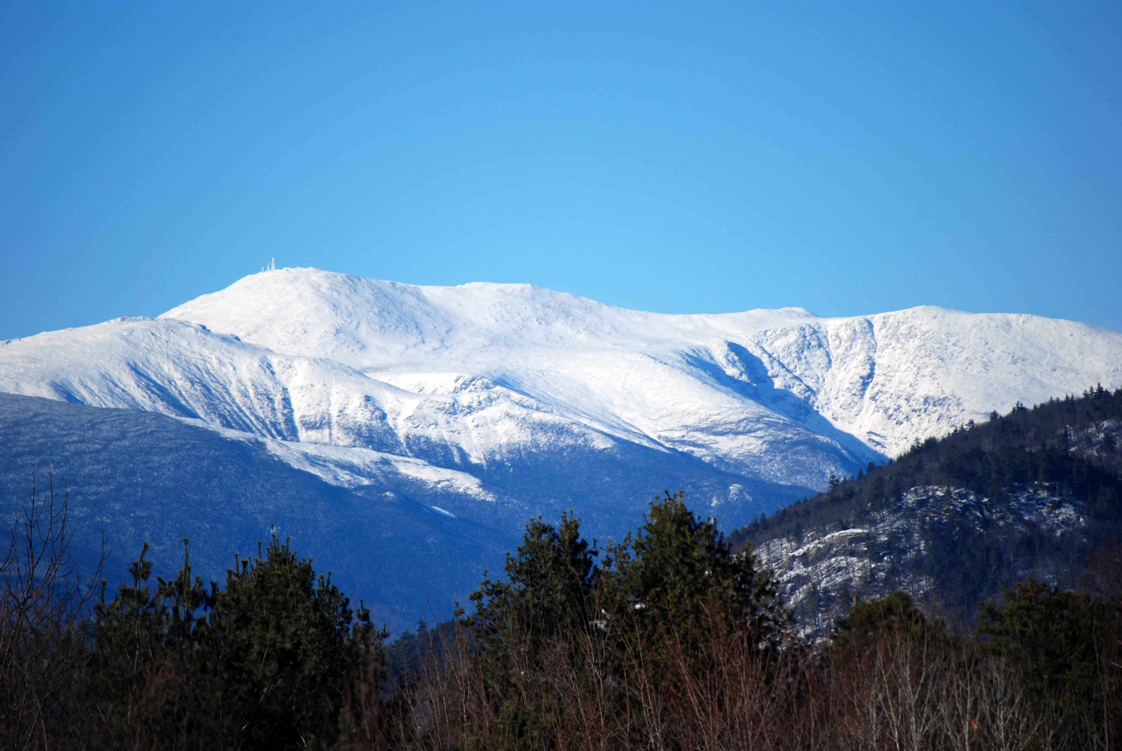
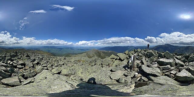
The NH 48 includes some of the most iconic landmarks in the White Mountains. Mount Washington is the crown jewel - the Northeast's highest peak with an auto road, cog railway, and extreme weather. The Presidential Traverse offers an epic ridge walk connecting multiple 4,000-footers. Franconia Ridge provides one of the most spectacular above-treeline walks in the East. Mount Lafayette and Mount Lincoln offer stunning 360-degree views. , Hikers also pass serene locations like the Lakes of the Clouds, nestled beneath Mount Washington, and scenic spots such as Zealand Falls and the high-elevation Carter Lakes. Many of the peaks are accessed via trails that intersect with the Appalachian Trail, and the route passes through rugged areas like Franconia Notch, offering encounters with dramatic rock formations, alpine gardens, and diverse wildlife habitats.
Culture and History
The White Mountains are known fro spiritual connections of Native American tribes, particularly the Abenaki. In the 19th century, the region became a popular destination for early American tourists, artists, and hikers drawn by its dramatic landscapes and fresh mountain air. Many areas along the NH 48 route were heavily logged during the late 19th and early 20th centuries, and hikers can still spot remnants of old logging roads, railroad grades, and camps in the valleys and forests. The region is also the home base of the Appalachian Mountain Club (AMC), founded in 1876.
Geology
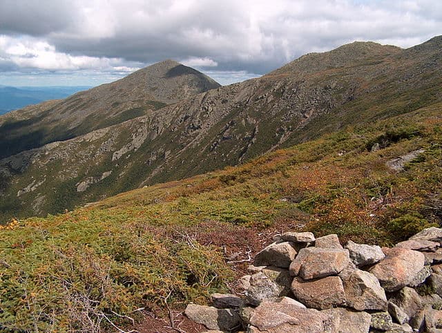
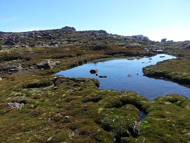
The White Mountains make up the peaks of NH 48. They are part of the northern Appalachian Mountain, composed primarily of ancient metamorphic and igneous rocks, formed during the Acadian Orogeny. The region’s striking peaks and deep valleys were later shaped by repeated glacial activity during the last Ice Age. Along the summits of the NH 48 peaks, hikers encounter exposed granite outcrops and rare alpine tundra ecosystems. This geological history supports a wide range of ecosystems—from northern hardwood forests at lower elevations to krummholz and true alpine vegetation near the summits.
Essential Gear
Hikers tackling the NH 48 should have sturdy, waterproof hiking boots with good ankle support. Layered clothing is critical for managing temperature shifts—from warm, humid conditions in the valleys to near-freezing wind chills on exposed ridges, even during summer. Rain gear is a must, as the White Mountains are notorious for sudden storms and frequent precipitation. Reliable navigation tools—including topographic maps, a compass, and a GPS device with offline capabilities. Trekking poles can ease stress on knees during steep climbs and descents. Sun protection and insect repellent are important at lower elevations, while a well-stocked first aid kit and an emergency communication device (such as a PLB or satellite messenger) are strongly advised due to the remote and rugged nature of many peaks. The challenge builds over time - some peaks you can knock out in a few hours, while others require careful planning and overnight stays. There's a strong community of "48ers" who share beta, trip reports, and encouragement.
Accommodation
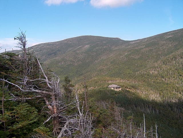
Here, backcountry shelters and campsites are managed by the White Mountain National Forest and the Appalachian Mountain Club (AMC). These shelters, such as AMC’s High Huts and designated tent sites, typically offer basic accommodations—wooden bunks, communal spaces, and composting toilets. They often require reservations during peak summer months. Tent camping is allowed in designated areas, but hikers must adhere strictly to Leave No Trace principles.
Food and Water
Water sources are generally plentiful along the NH 48 routes, including streams, brooks, and springs. All natural water must be treated or filtered to prevent waterborne illnesses such as Giardia or Cryptosporidium. Note that AMC mountain huts do not provide meals to non-guests and may not offer any food service at all, so self-sufficiency is essential when attempting longer routes or multi-peak traverses.
Navigation
The NH 48 trails are generally well-marked and maintained, often overlapping with sections of the Appalachian Trail, which is marked with its distinctive white blazes. Blue and orange blazes typically indicate side trails, connector paths, or routes to shelters and campsites. A detailed topographic map, such as those published by the Appalachian Mountain Club (AMC) or the U.S. Geological Survey (USGS). While GPS apps like Gaia GPS and AllTrails are helpful for real-time navigation, hikers should always carry a physical map and compass as reliable backups.
Permits and Fees
There are no permits required specifically for hiking the NH 48 itself. However, camping in the White Mountain National Forest requires adherence to forest regulations, and some shelters may require advance reservations or small fees. Parking at popular trailheads often incurs daily fees, typically around $5 to $10. Completing the NH 48 is considered a rite of passage for serious Northeast hikers and earns you membership in the AMC Four Thousand Footer Club. The challenge teaches mountain skills, weather awareness, and self-reliance while connecting you deeply to New Hampshire's mountain heritage. Many hikers say the journey changes their relationship with the outdoors and builds lasting friendships within the hiking community.
NH48 New Hampshire 4000 Footers: common questions
How long is NH48 New Hampshire 4000 Footers?
NH48 New Hampshire 4000 Footers covers 497 miles in total.
How long does NH48 New Hampshire 4000 Footers take to complete?
Most people complete NH48 New Hampshire 4000 Footers in about 4-7 years.
When is the best time to do NH48 New Hampshire 4000 Footers?
The best season for NH48 New Hampshire 4000 Footers is Summer, Winter.
How many checkpoints does NH48 New Hampshire 4000 Footers have?
NH48 New Hampshire 4000 Footers has 49 checkpoints to log on the way to finishing it.
Plan your journey.
Keep this journey for later, or share it with someone you would like to go with.
Northeast routes
More New England hiking challenges
Routes worth tackling alongside the NH 48, with reads to help you plan the order.