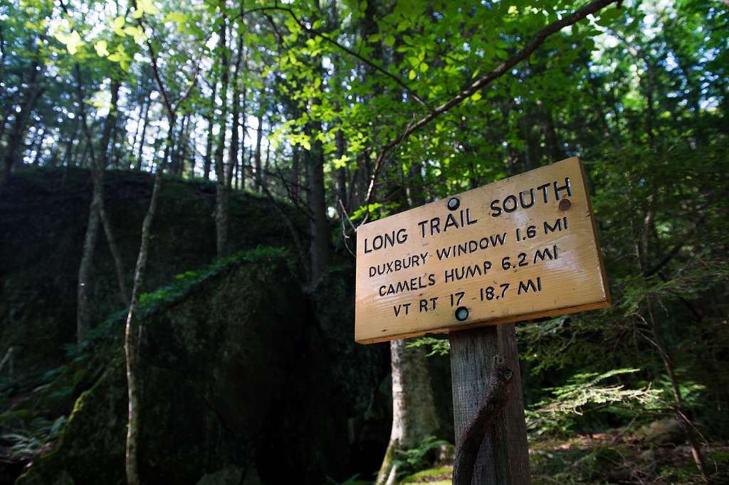
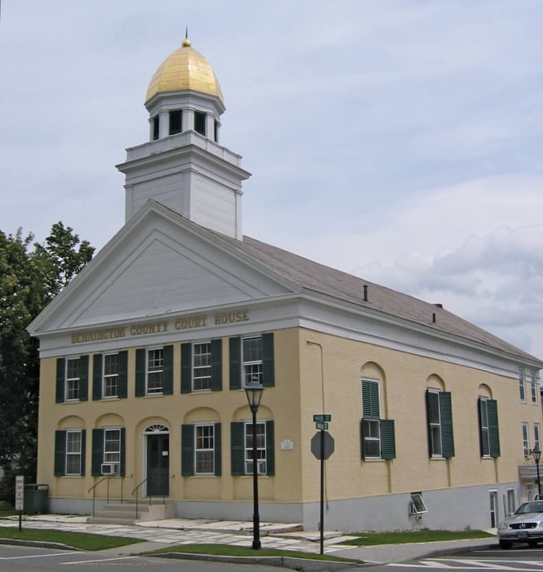
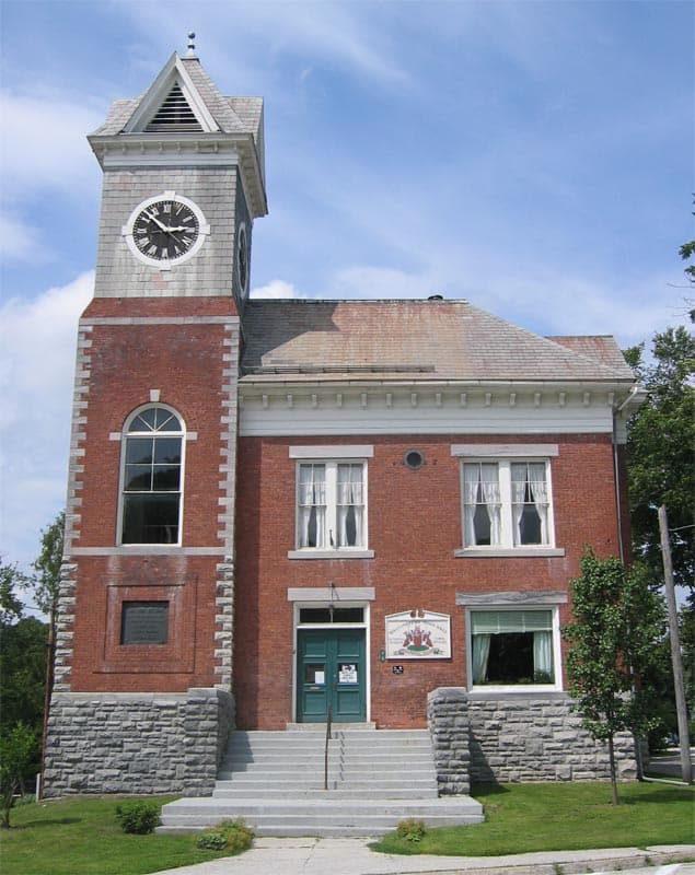
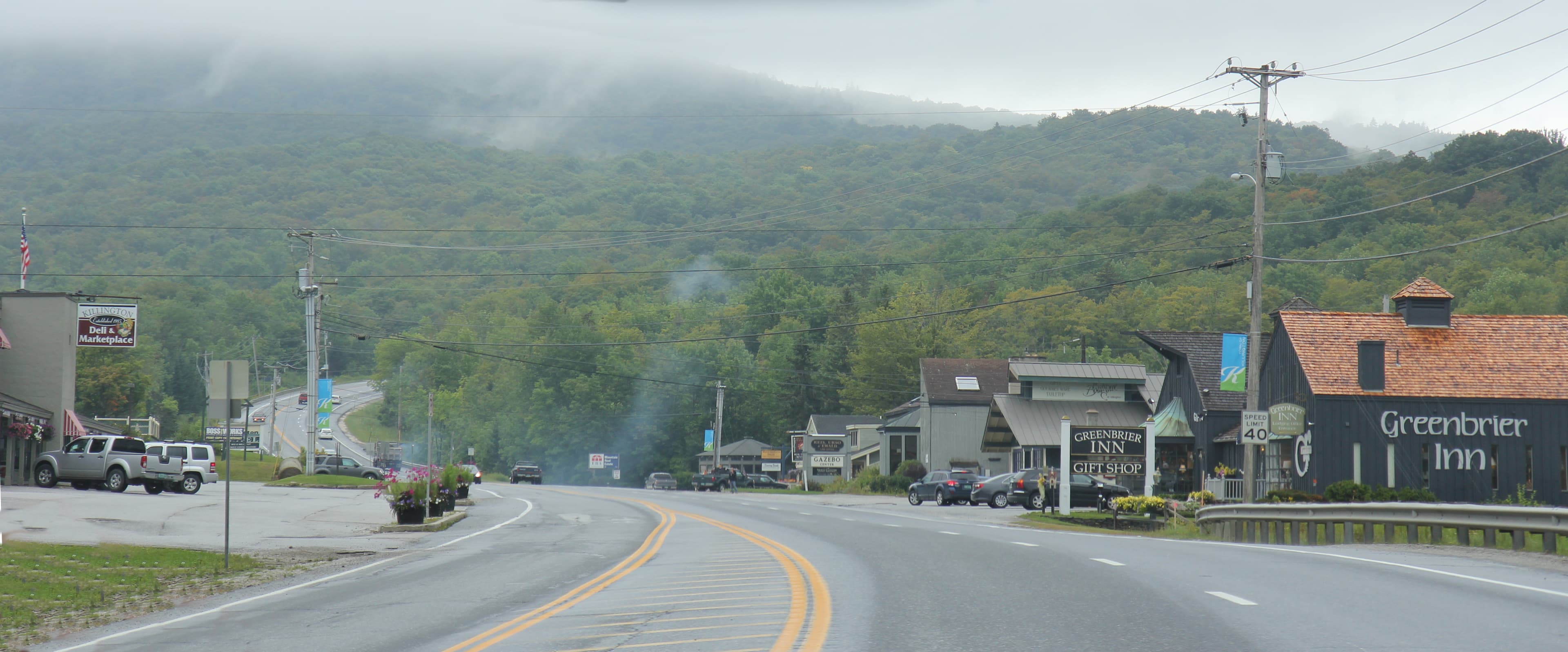
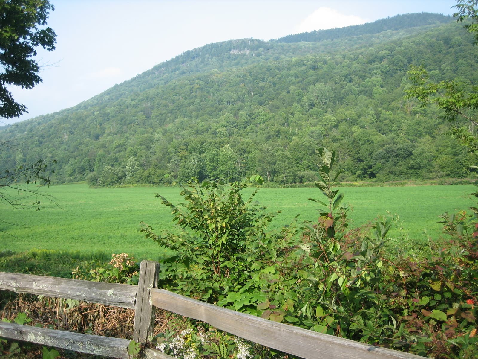
The Long Trail Vermont — stop photo 1
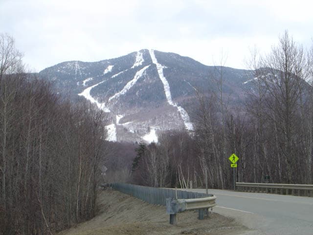
The Long Trail Vermont — stop photo 2
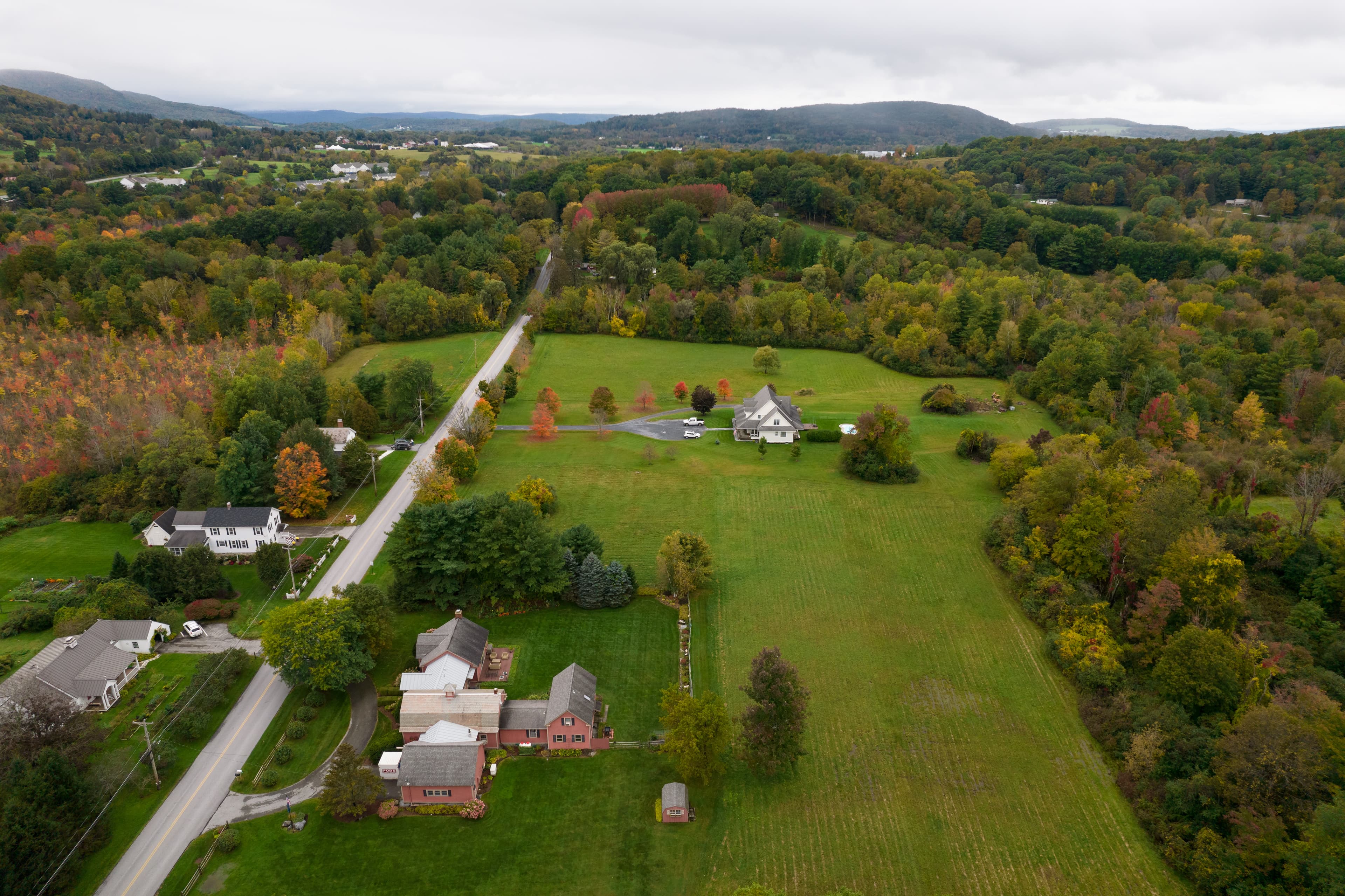
The Long Trail Vermont — stop photo 3
The Long Trail Vermont — stop photo 4
crossing · point to point

The Long Trail Vermont

Vermont, United States

The Long Trail Vermont — stop photo 1
The Long Trail Vermont — stop photo 2
The Long Trail Vermont — stop photo 3

About this journey

The Long Trail in Vermont is America’s oldest long-distance hiking trail, stretching 272 miles from the Massachusetts border to Canada. Following the spine of the Green Mountains, it offers a challenging yet rewarding adventure through dense forests, rocky ridges, alpine summits, and peaceful valleys. Highlights include Mount Mansfield, Vermont’s highest peak, the rugged climb of Camel’s Hump, and the remote beauty of Jay Peak near the Canadian border. With shelters and campsites along the way, the Long Trail is perfect for thru-hikes, section hikes, and weekend backpacking trips. It’s a true bucket-list destination for serious hikers in New England.

Quick facts

stops
10located
shape
crossing
total distance
272 miles
best season
Anytime
avg completion
20-30 days

Loading your progress…

loading map…

The journey, stop by stop

stop 1 of 10Williamstown, MA to Bennington, VT

Williamstown, MA to Bennington, VT

18 miles

This opening section of the Long Trail follows the Appalachian Trail into Vermont’s rugged Green Mountains. Starting near Williamstown, MA, hikers ascend gradually into Vermont’s dense hardwood forests, tackling rolling ridges and rocky footing. Highlights include quiet woodland paths, shelters for overnight stays, and rewarding viewpoints of the surrounding valleys. 

stop 2 of 10Bennington to Manchester Center

Bennington to Manchester Center

40 miles

This stretch is a classic Green Mountain journey, climbing into higher ridges and spruce forests. Glastenbury Mountain is the standout highlight, featuring a restored fire tower with sweeping 360-degree views across Vermont and Massachusetts. The route is challenging, with multiple climbs and descents, but offers excellent backcountry immersion. 

stop 3 of 10Manchester Center to Wallingford

Manchester Center to Wallingford

33 miles

This segment winds through some of Vermont’s most scenic peaks, including Bromley Mountain and Peru Peak. Bromley’s summit is especially memorable, with an open, grassy top offering panoramic views of the Taconic Range and White Mountains. The trail alternates between long ridge walks and sheltered forest paths, creating a rewarding rhythm for backpackers.

stop 4 of 10Wallingford to Killington

Wallingford to Killington

17 miles

This shorter section is perfect for a two-day outing. Starting near Wallingford, the Long Trail heads north through dense woods and steady climbs, gradually building toward the Killington Range. Highlights include White Rocks Mountain, known for its boulder fields and scenic outlooks. 

stop 5 of 10Killington to Hancock

Killington to Hancock

34 miles

This rugged stretch is characterized by steep climbs, remote forested terrain, and limited road access. The highlight is the Killington summit itself, with sweeping views across Vermont, New Hampshire, and New York. The trail then traverses a series of peaks and passes, including Gifford Woods and the Chittenden Reservoir area.

stop 6 of 10Hancock to Appalachian Gap

Hancock to Appalachian Gap

24 miles

This section is known for its rugged beauty and demanding climbs. Starting from Middlebury Gap, the trail traverses peaks such as Bread Loaf Mountain and Mount Wilson, offering sweeping views of the Green Mountains. Expect rocky footing, steep grades, and rewarding ridgelines. 

stop 7 of 10
photo not yet sourced

Appalachian Gap to Jonesville

36 miles

This stretch delivers one of the Long Trail’s most iconic climbs: Camel’s Hump. The mountain’s rocky summit provides 360-degree alpine views of Lake Champlain, the Adirondacks, and the White Mountains. The approach is strenuous, but shelters and campsites make it manageable. 

stop 8 of 10Jonesville to Smugglers’ Notch

Jonesville to Smugglers’ Notch

32 km

This section features Vermont’s highest peak: Mount Mansfield (4,393 feet). The climb is steep and demanding, but the ridge walk across the “Chin,” “Nose,” and “Forehead” is legendary, with alpine tundra and sweeping views in every direction.

stop 9 of 10Smugglers’ Notch to Eden/Montgomery Center

Smugglers’ Notch to Eden/Montgomery Center

38 miles

This segment is remote, rugged, and quieter than the southern trail. The route traverses peaks like Whiteface Mountain, Madonna Peak, and Mount Belvidere, whose fire tower offers outstanding views of northern Vermont and Canada. The terrain is demanding, with steep ascents and rocky ridges, but also provides a strong sense of solitude. 

stop 10 of 10
photo not yet sourced

Eden/Montgomery Center to Journey’s End

40 miles

The Long Trail’s grand finale is remote, rugged, and deeply rewarding. Highlights include the climb over Jay Peak, one of Vermont’s most scenic summits, offering broad views into Quebec and across the Green Mountains. The trail continues along wild ridgelines and through boreal forests, giving this section a distinctly northern character. 

History and Geology

Built by the Green Mountain Club, the Long Trail was conceived in 1910 as America's first long-distance hiking trail, predating the Appalachian Trail by over a decade. The trail's creation reflected early 20th-century conservation movements that sought to preserve Vermont's mountain wilderness while providing public access to natural areas threatened by logging and development. The Green Mountain Club's volunteer-driven approach established a model for trail maintenance and outdoor recreation that continues today. Generations of hikers have contributed to trail construction, shelter building, and route maintenance, creating a community-based conservation system that supports both environmental protection and recreational access throughout Vermont's mountain regions. The Long Trail traverses the ancient Green Mountains, formed through complex geological processes spanning hundreds of millions of years. The range represents some of North America's oldest rock formations, created through tectonic collisions that thrust sedimentary and metamorphic rocks skyward during the formation of the Appalachian Mountain system. Glacial activity during ice ages carved the characteristic U-shaped valleys, alpine zones, and pristine mountain ponds that define today's hiking experience. The trail crosses distinct geological zones from southern hardwood forests to northern boreal ecosystems, supporting diverse wildlife including black bears, moose, and over 200 bird species that inhabit Vermont's mountain environments.

Safety

Essential gear for the Long Trail must handle Vermont's variable mountain weather, from summer temperatures reaching 85°F to potential snow at higher elevations even during summer months. Layered clothing systems accommodate dramatic temperature changes between valleys and exposed ridges, while waterproof rain gear protects during frequent mountain storms that can develop rapidly. Navigation follows well-maintained, popular trails with signed junctions, though GPS devices and detailed maps provide backup during poor weather conditions. The trail features distinctive white blazes with occasional blue blazes marking side trails to shelters and water sources. Emergency communication devices become valuable in remote northern sections where cell coverage remains spotty. Comfortable hiking boots with ankle support handle sustained daily walking on rocky terrain, exposed roots, and potentially muddy trail sections during wet periods. Water capacity of 2 liters proves adequate for most sections, though longer dry stretches may require additional capacity or careful water source planning.

Nutrition and Other

The Long Trail features no permit system, though shelters can fill up, especially during prime hiking season or on rainy days. The trail maintains approximately 70 rustic shelters and camping areas spaced at convenient intervals, though Stratton Pond and Little Rock Pond require $5 per person fees. Most shelters operate on first-come, first-served basis with basic facilities including roof, sleeping platforms, and nearby water sources. Trail towns like Manchester, Killington, and Stowe provide full resupply opportunities with grocery stores, restaurants, and lodging options ranging from hostels to luxury resorts. Many businesses cater specifically to long-distance hikers with mail drops, gear replacement, and shuttle services. Traditional New England inns offer authentic regional cuisine featuring local specialties. Water sources remain generally reliable with 2-liter capacity recommended for most sections, though water purification systems ensure safe consumption from natural sources. Mountain springs, streams, and ponds provide frequent water access, particularly in the Green Mountain National Forest sections where pristine watersheds support excellent water quality.

The Long Trail Vermont: common questions

How long is The Long Trail Vermont?

The Long Trail Vermont covers 272 miles in total.

How long does The Long Trail Vermont take to complete?

Most people complete The Long Trail Vermont in about 20-30 days.

When is the best time to do The Long Trail Vermont?

The best season for The Long Trail Vermont is Anytime.

How many checkpoints does The Long Trail Vermont have?

The Long Trail Vermont has 10 checkpoints to log on the way to finishing it.

Plan your journey.

Keep this journey for later, or share it with someone you would like to go with.