
NH 52 with a View
New Hampshire

About this quest
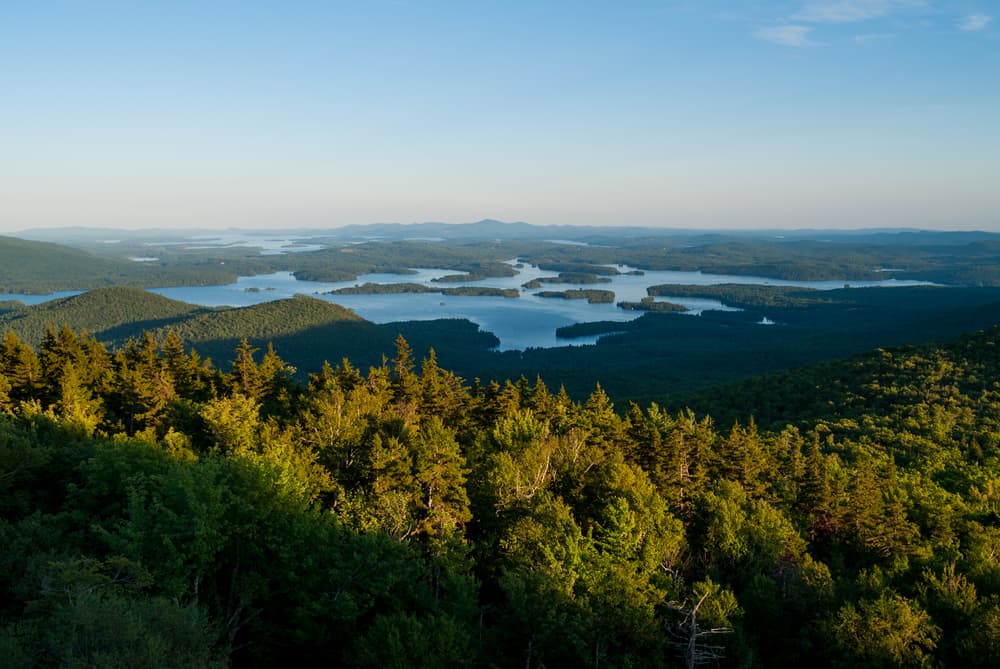
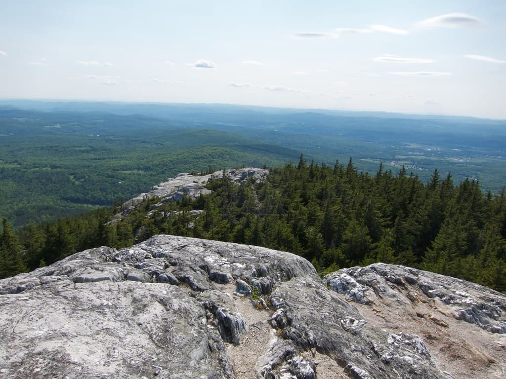
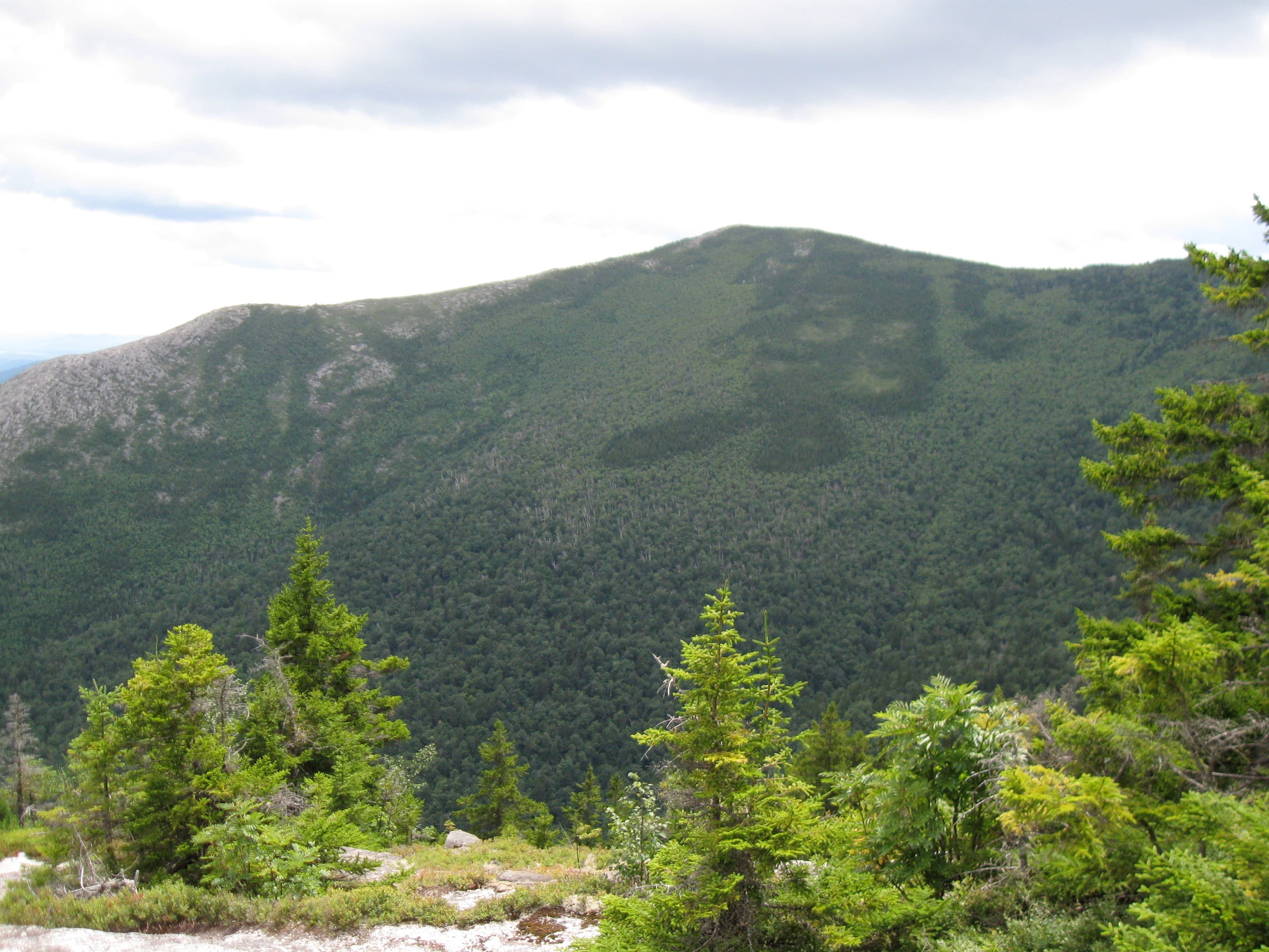
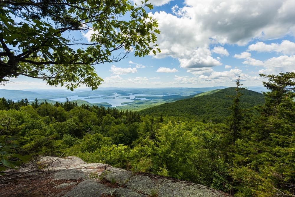
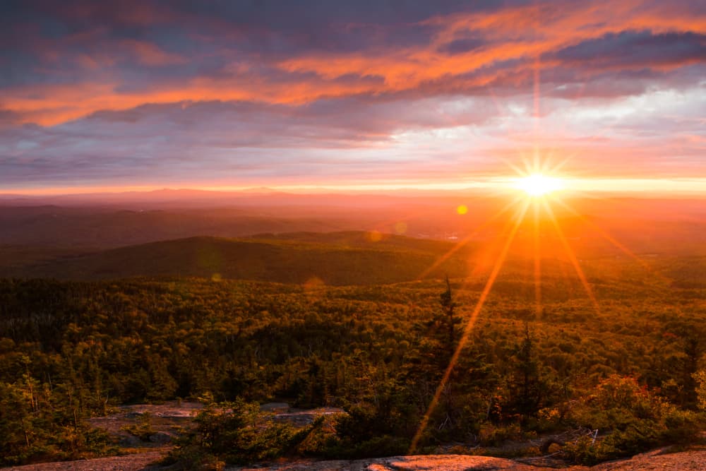
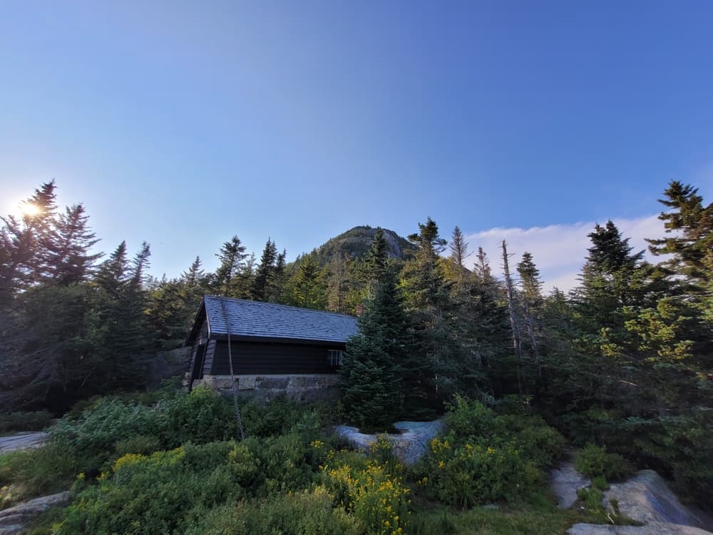
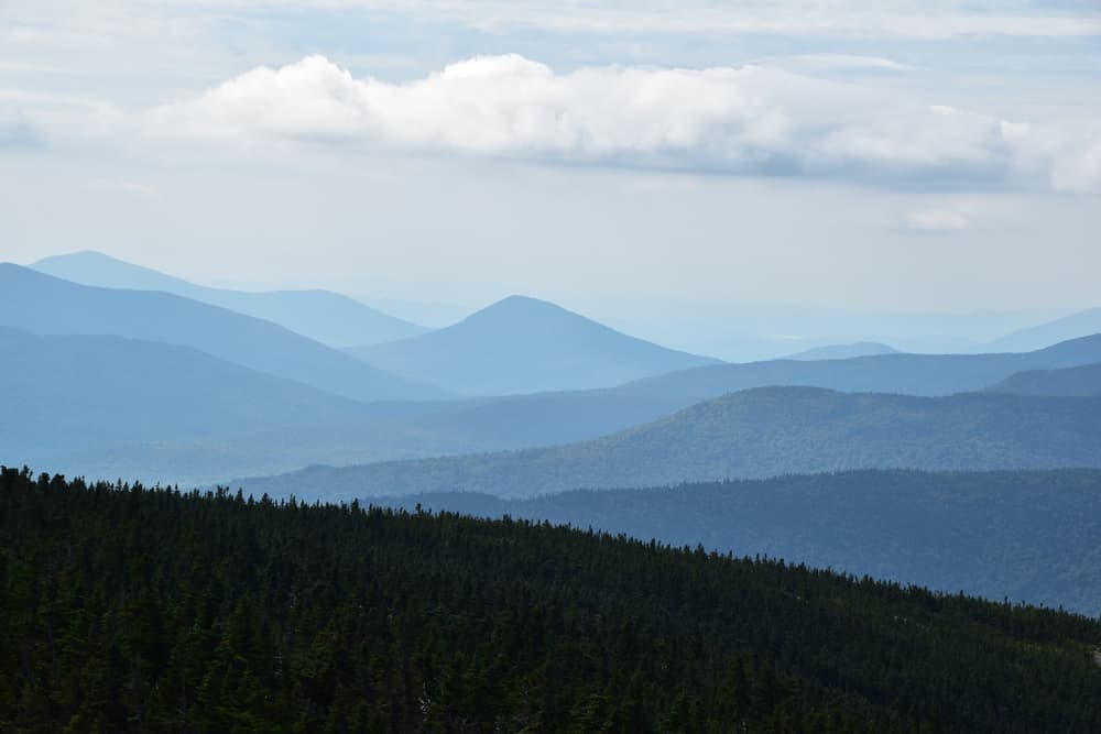
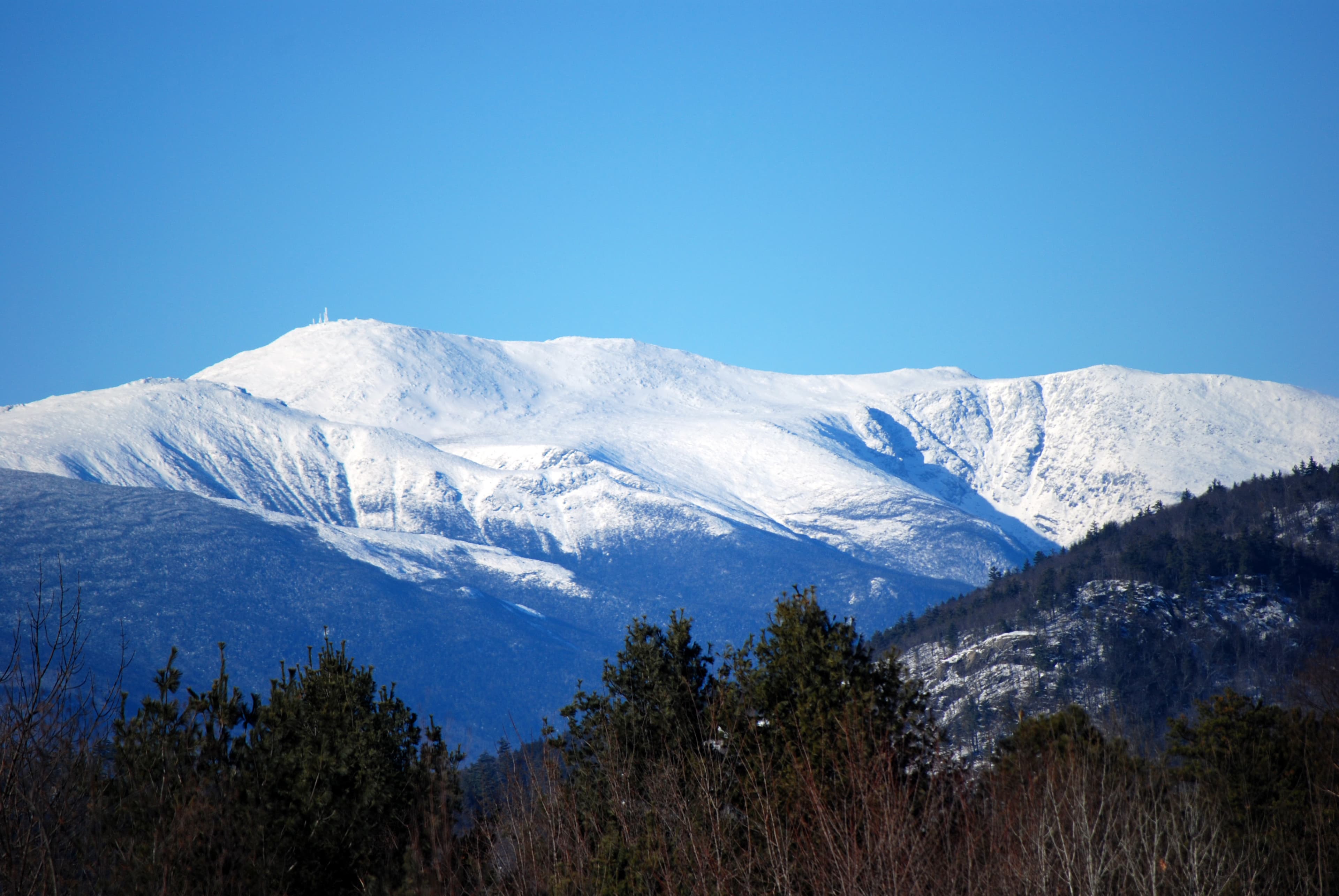
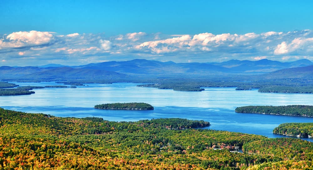
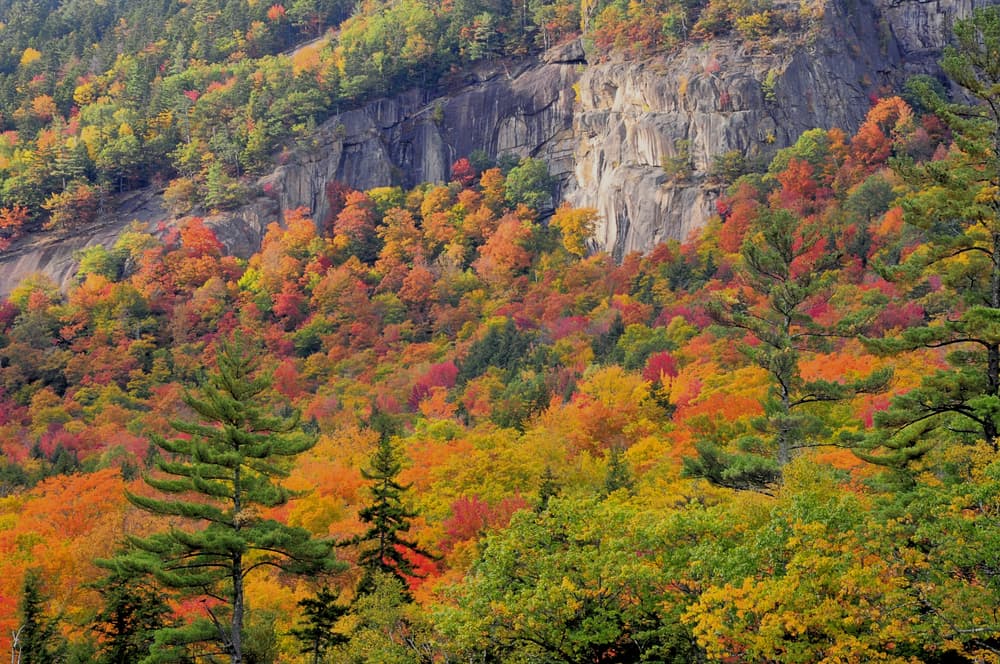
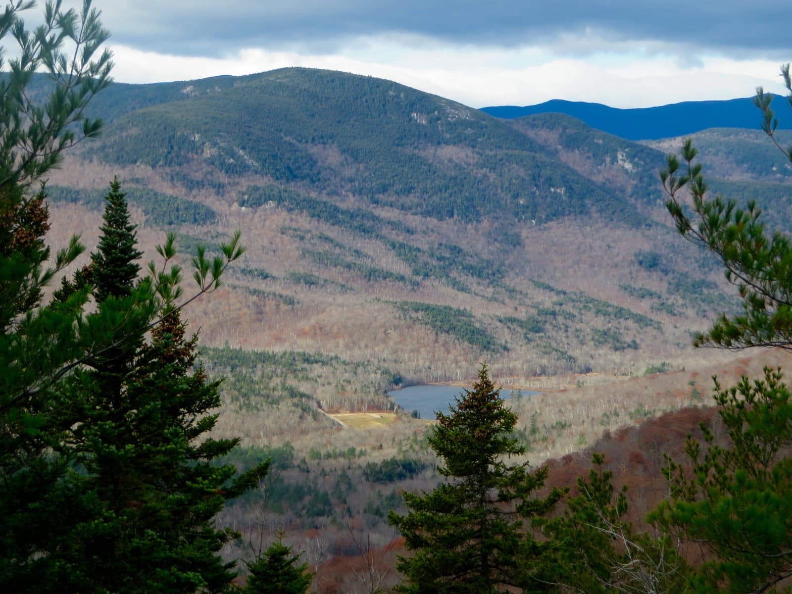
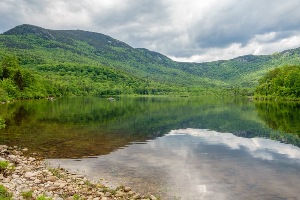
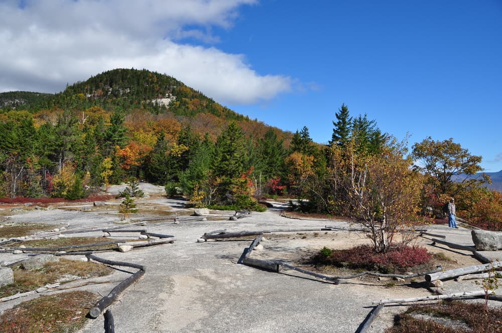
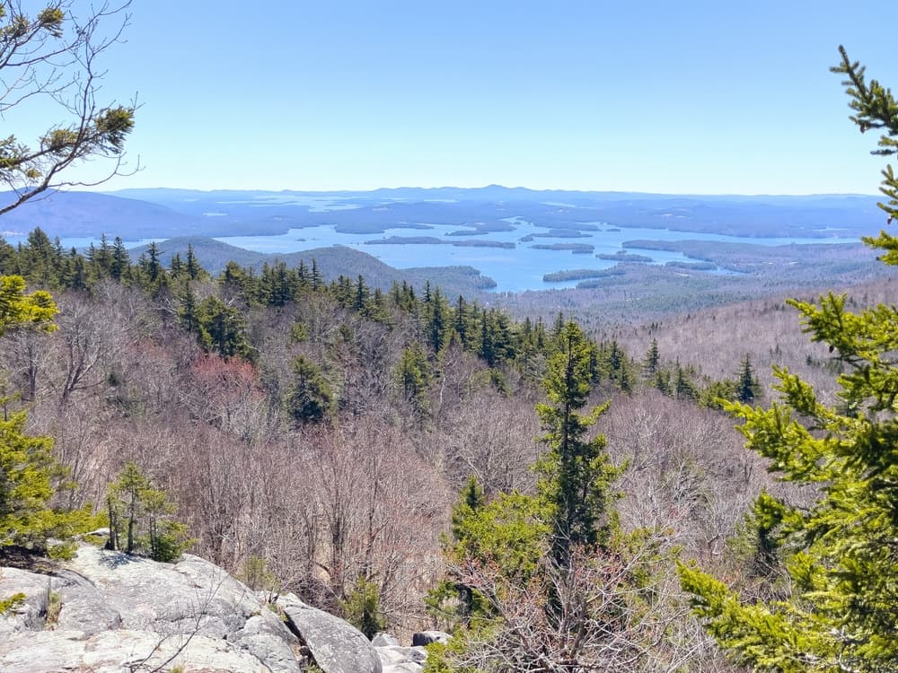
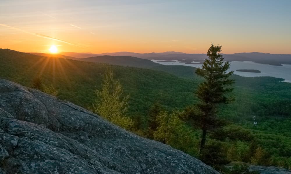
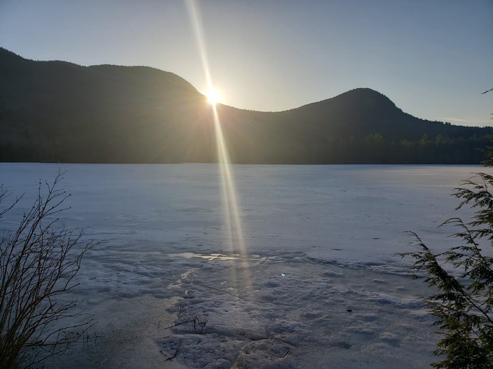
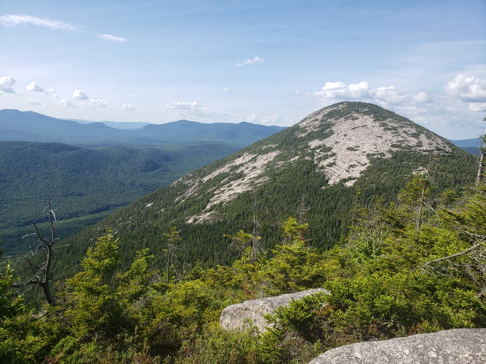
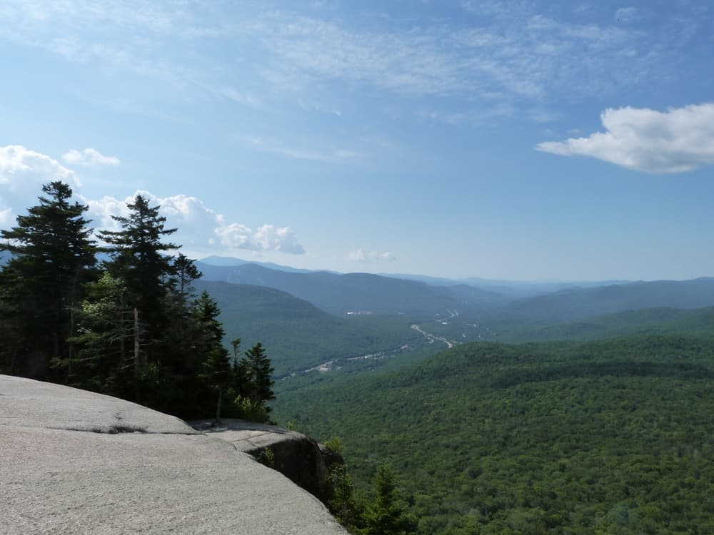
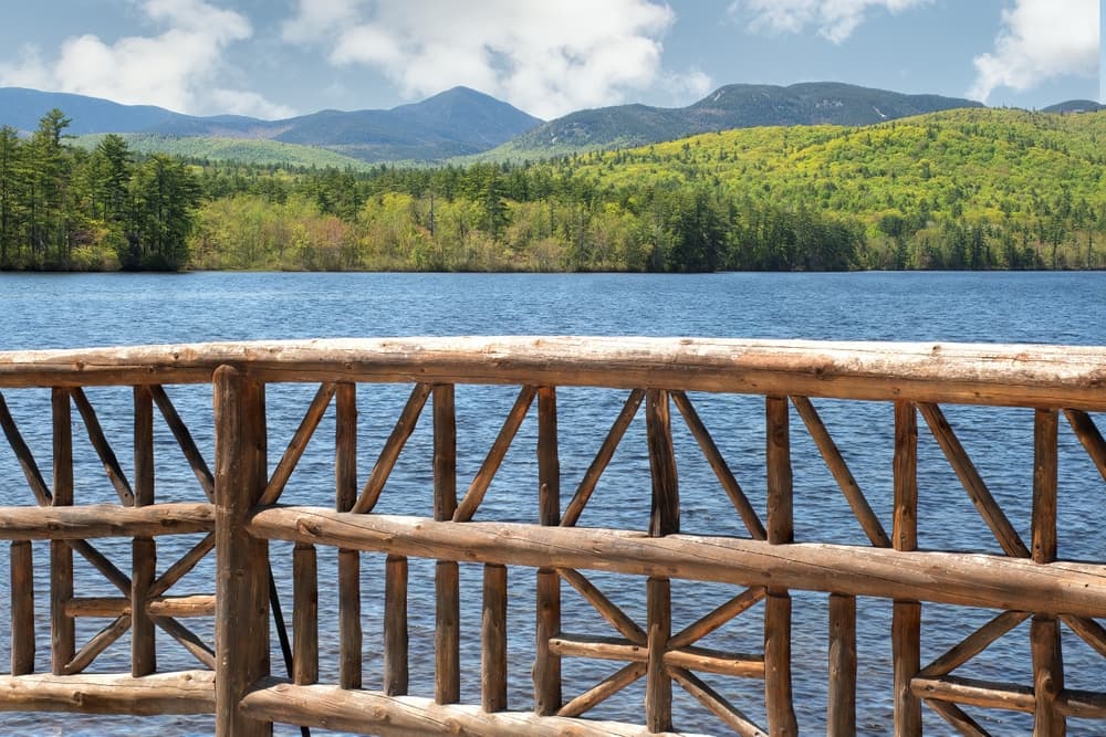
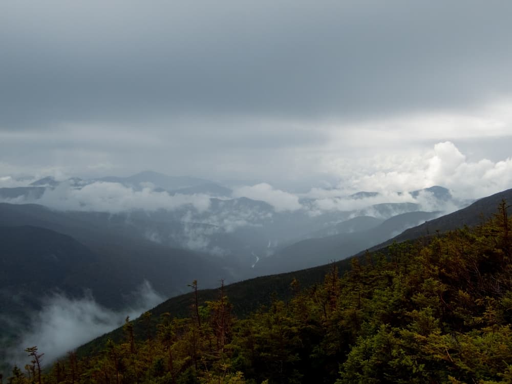
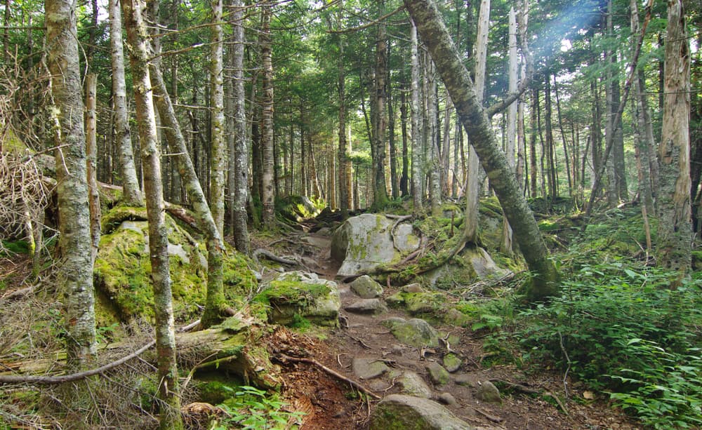
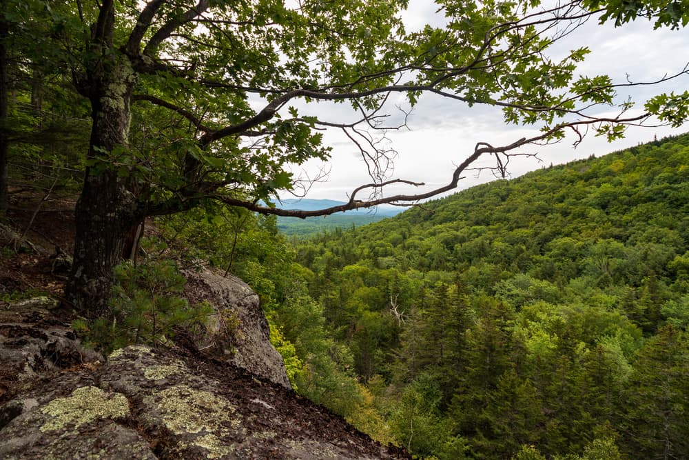
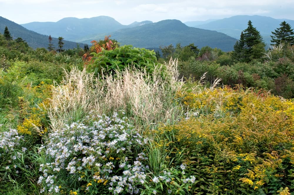
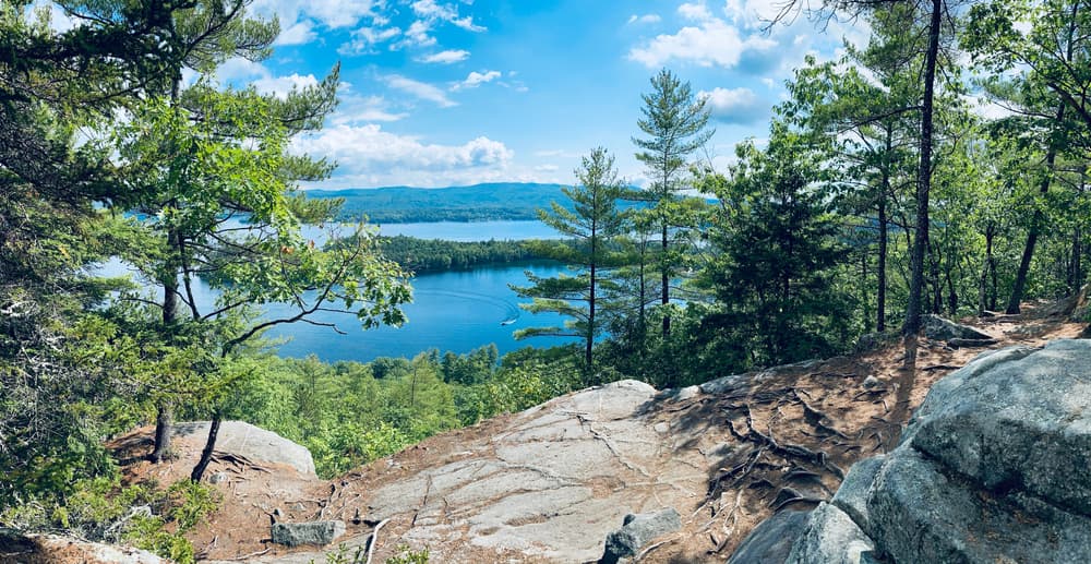
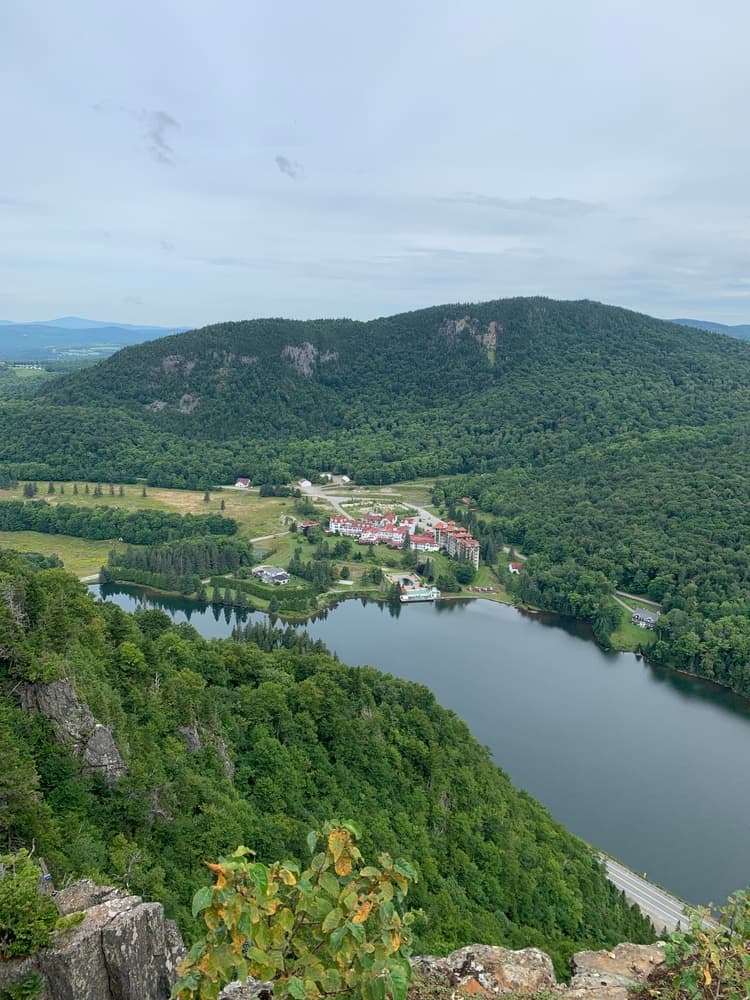
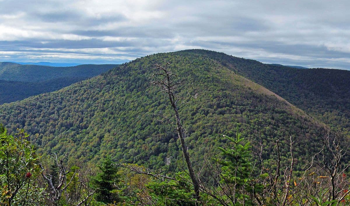
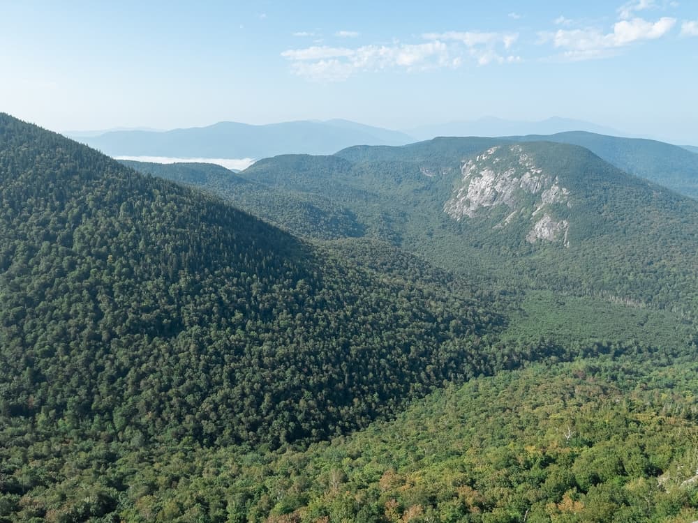
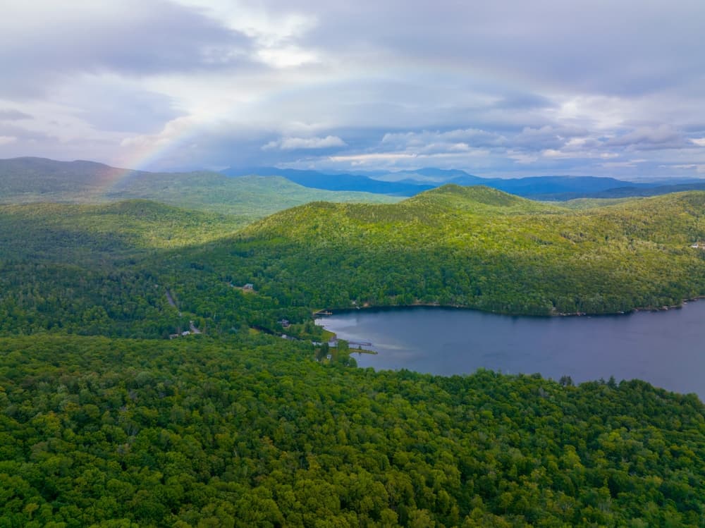
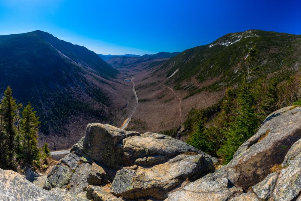
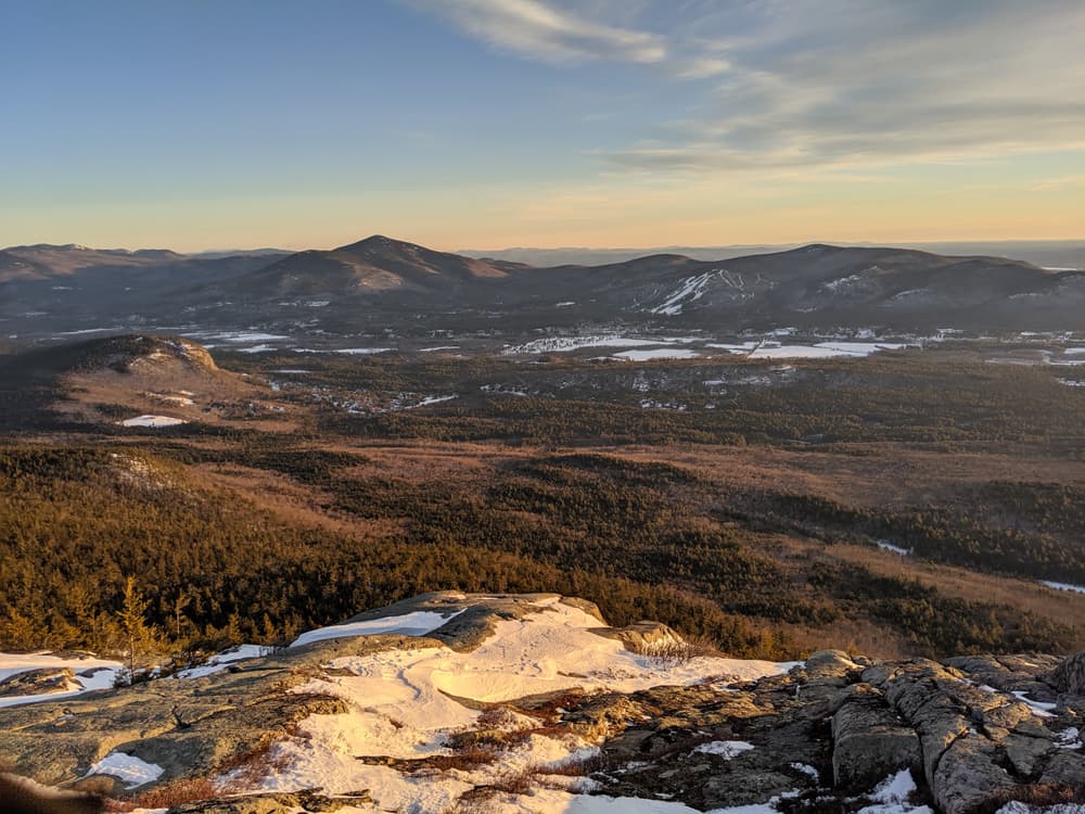
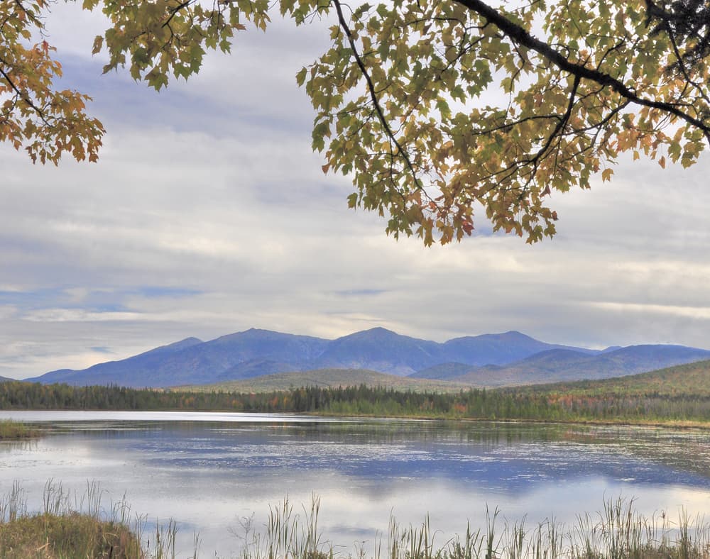
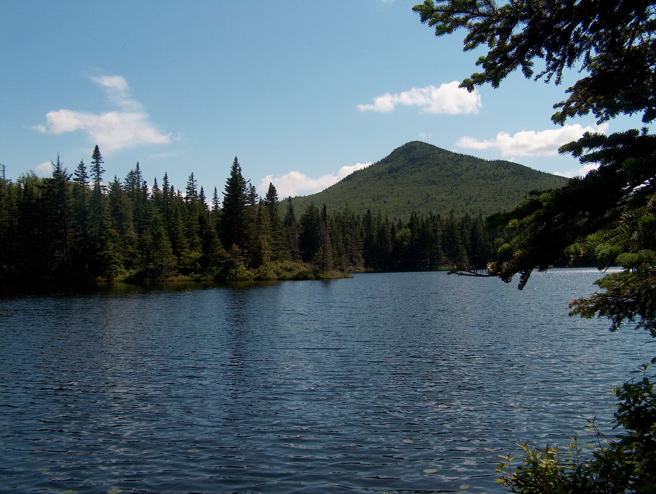
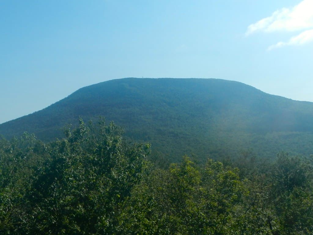
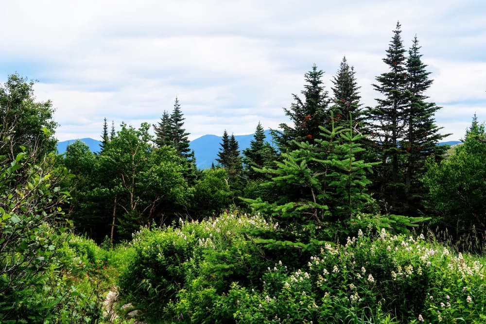
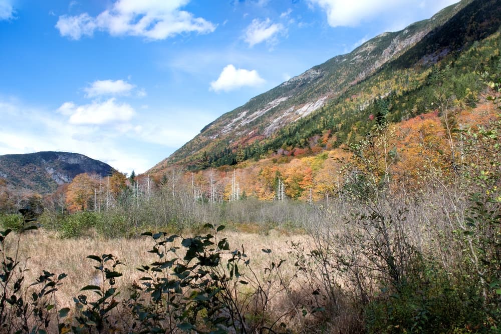
The New Hampshire 52 With a View challenge features scenic peaks under 4,000 feet, offering breathtaking vistas without the extreme elevation gains of the NH 48. From open ledges and fire towers to lake and mountain panoramas, these hikes provide a mix of moderate to challenging trails perfect for hikers looking for rewarding climbs with stunning scenery.
Quick facts
- peaks
- 52located
- shape
- collection
- total distance
- 450 miles
- best season
- Summer, Spring, Fall
- avg completion
- 4-8 years
Loading your progress…
Map and places
Choose a place. Visit in any order.
Journey overview
8 of 52 places. Open the full itinerary to explore any place.
- PlaceHadley’s Purchase, NH
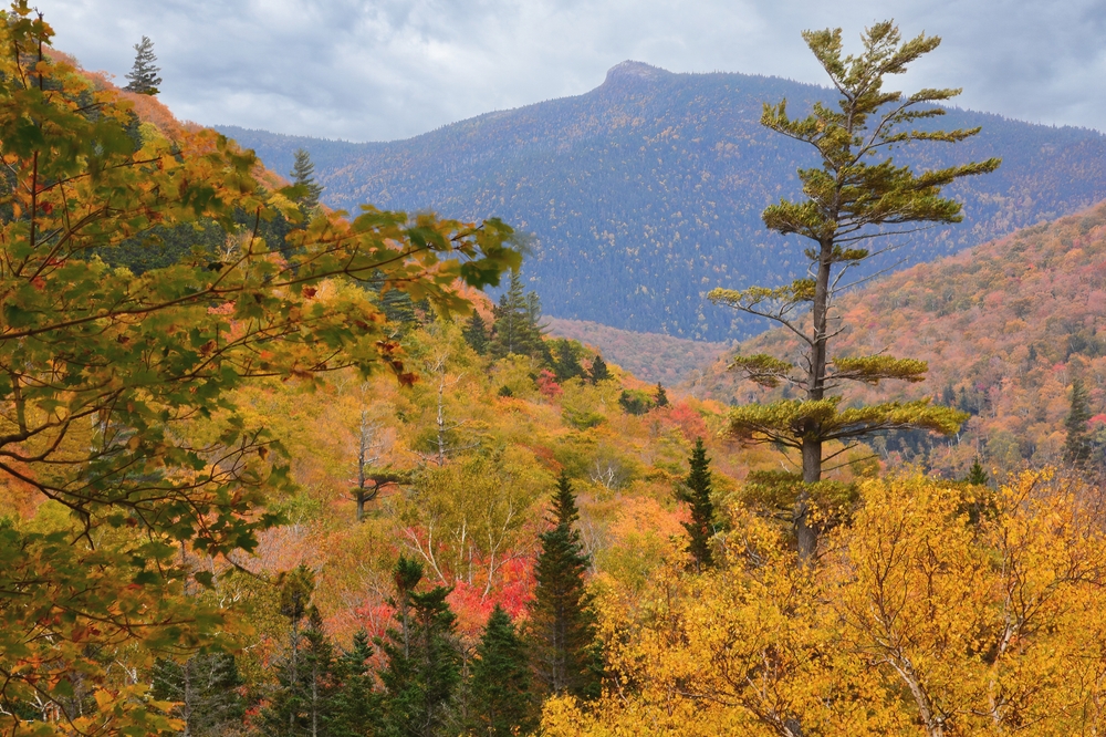
Steep climb to an open summit ledge in Crawford Notch with dramatic views of the surrounding notch and Presidential range.
- PlaceBenton, NH
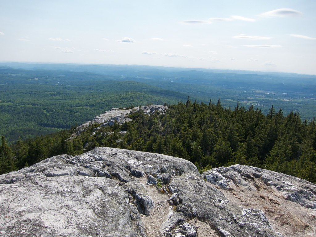
Quick hike up the Chippewa Trail to a rocky summit with sweeping views of the White Mountains and Connecticut River valley.
- PlaceTuftonboro, NH
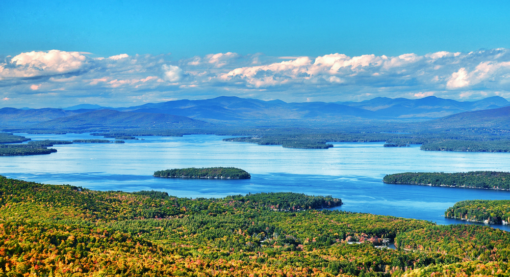
Multiple trail options lead to this highest peak of the Ossipee Range, where an open summit outlook reveals Lake Winnipesaukee and the White Mountains.
- PlaceAlbany, NH
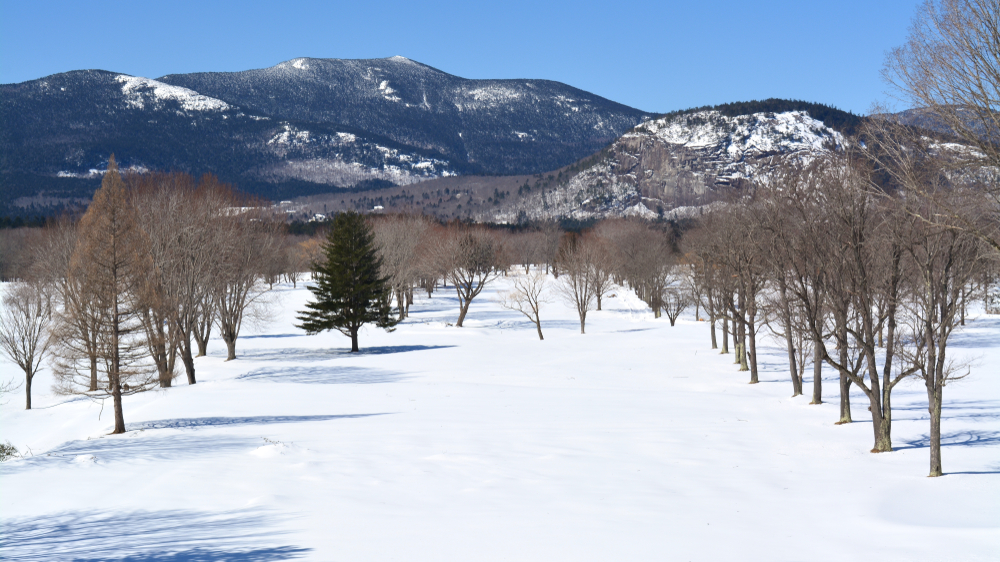
A rewarding day hike to the southern end of the Moat Range, featuring a long stretch of open ledge and panoramic views at the summit.
- PlaceLincoln, NH
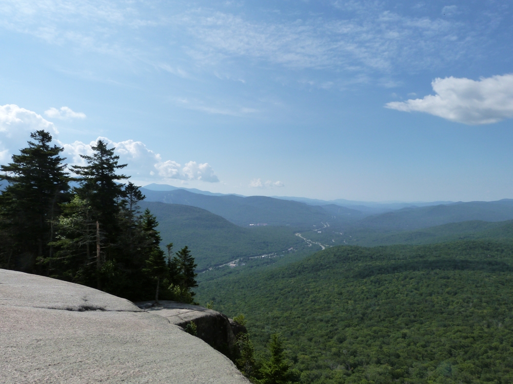
Short, family-friendly hike to “Indian Head,” a ledge summit that juts over Franconia Notch and offers superb views.
- PlaceHart’s Location, NH
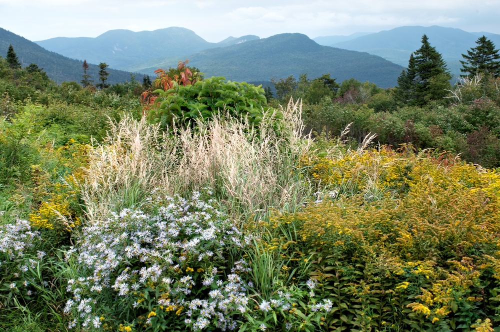
Steep hike to an outlook atop Mt. Tremont, rewarding climbers with excellent views of Crawford Notch and surrounding peaks.
- PlaceKilkenny, NH

A peak along the Kilkenny Ridge often hiked in conjunction with Mount Cabot; features a small open summit with fantastic north-country views.
- PlaceBean’s Grant, NH
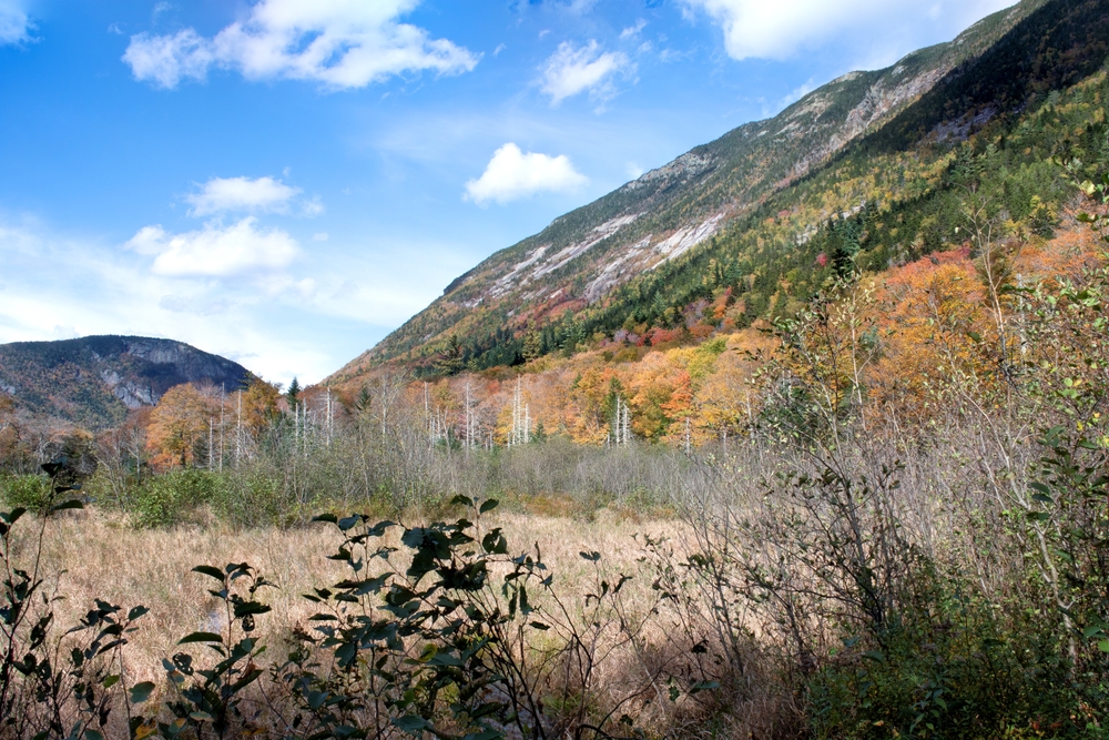
Rocky subpeak at the south end of Crawford Notch, reached by steep trails, with sheer cliffs and dramatic views into the notch.
You can explore the itinerary while it loads.
Pins show individual places; there is no route between them. Select a pin to read its place in the itinerary.
Overview
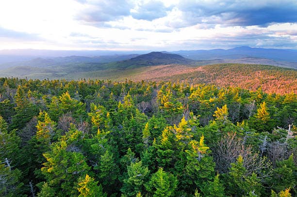
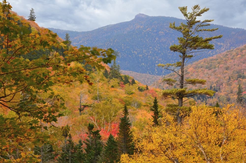
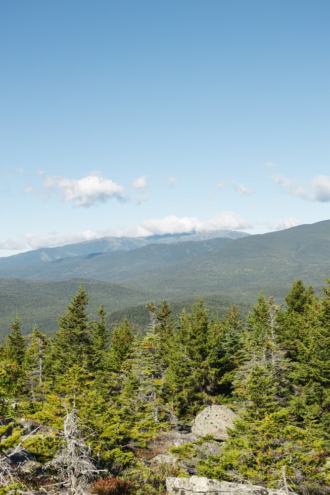
The New Hampshire 52 With a View is a challenging and rewarding hiking challenge that calls on hikers to summit 52 mountains across the state, each offering exceptional viewpoints. Unlike the more famous 48 4000-footers, the 52 With a View includes peaks that are a bit shorter but no less scenic, focusing on summits with outstanding panoramas. This makes it especially popular with hikers who want a mix of well-known and lesser-traveled trails, with views that showcase the rugged beauty of New Hampshire’s White Mountains and surrounding ranges. The challenge covers a wide geographic area, from the southern hills near Keene to the northern reaches around Gorham, including mountains from several different ranges like the Sandwich Range, Carter-Moriah Range, and the Pilot Range. The 52 peaks vary in elevation from about 3,000 to just under 4,000 feet, but the emphasis on viewpoints means you’re almost always rewarded with spectacular vistas of mountain ridges, valleys, lakes, and sometimes even distant states on clear days.
Statistics and Elevation Profile
Completing the 52 With a View involves hiking approximately 100 to 130 miles in total, depending on route variations and approach trails, with an estimated elevation gain around 20,000 feet cumulatively. Many hikers tackle this challenge over several months or seasons, but some ambitious hikers complete it in a few weeks. Elevation gains on individual peaks can vary significantly. Some summits require steep climbs of over 1,500 feet from the trailhead, while others are accessible with more moderate ascents.
Highlights and Landmarks
The 52 With a View includes many of the White Mountains’ scenic treasures. Notable peaks include Mount Chocorua, famous for its dramatic rocky summit offering sweeping views of the Ossipee Mountains and Lakes Region. Mount Tecumseh provides an alpine feel with exposed ledges and views extending to Mount Washington. The Carter Dome and Mount Moriah in the Carter-Moriah Range are popular highlights, featuring open summits and panoramic views of the Presidential Range. Peaks in the Sandwich Range, like Mount Tripyramid and Mount Passaconaway, provide extensive views of surrounding forests, lakes, and the Pemigewasset Wilderness. Some summits, like Mount Cube and Mount Kearsarge North, are known for their excellent viewpoints of the Lakes Region and southern White Mountains. The challenge also includes peaks in the lesser-visited Pilot Range, where hikers find solitude and rugged terrain, with vistas stretching into Vermont and Maine.
Culture and History
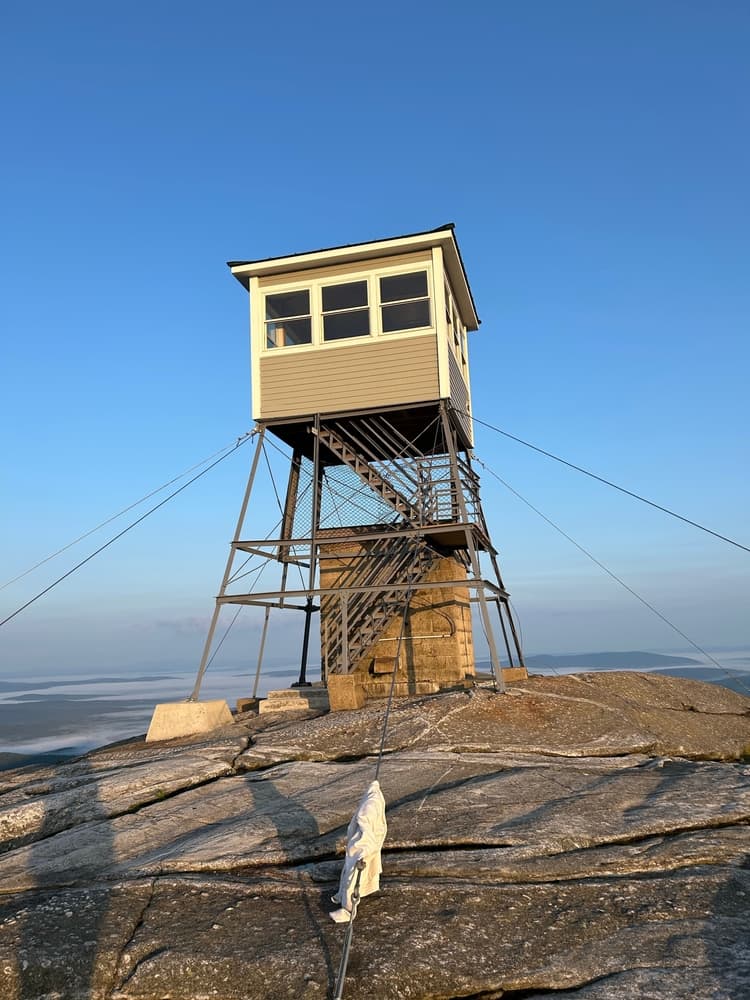
Many of the mountains in the 52 With a View challenge are steeped in local history and cultural significance. Mount Chocorua, for example, is linked to Native American legend and is considered one of the most photographed mountains in New England. Its iconic rocky summit has inspired artists, writers, and photographers for centuries. Several peaks have historic fire towers or lookout sites, remnants of early forest conservation efforts in New Hampshire. These towers often offer 360-degree views and a glimpse into the region’s forestry heritage. The tradition of peak bagging itself is deeply embedded in New Hampshire hiking culture, with local hiking clubs and communities supporting challenges like the 48 4000-footers and the 52 With a View.
Geology
New Hampshire’s mountains, including those on the 52 With a View list, are primarily composed of ancient metamorphic and igneous rocks formed hundreds of millions of years ago during the Acadian orogeny. The rugged terrain and sharp ridgelines are shaped by repeated glacial activity during the last Ice Age, which carved the valleys and left behind boulder fields and glacial erratics common on many trails. The White Mountains, part of the northern Appalachian range, feature prominent granite formations that give the peaks their sturdy, rocky character. Some areas, especially around the Ossipee Mountains, contain volcanic remnants, adding to the geologic diversity hikers can explore. This geology supports a range of ecosystems, from hardwood forests at lower elevations to spruce-fir stands near summits. Unique alpine flora appear on the highest peaks, protected by conservation efforts due to their ecological sensitivity.
Essential Gear
For hiking the 52 With a View, solid hiking boots with good ankle support and traction are essential given the rocky and uneven terrain encountered on many summits. Layered clothing is recommended due to variable weather conditions—mornings can be cool, but afternoons often warm up, and sudden storms are common. A waterproof jacket and rain pants are necessary for unexpected showers. Trekking poles can help reduce fatigue on steep ascents and descents and provide extra stability on slippery rock surfaces. Carrying a map, compass, and GPS device is important since some trails are less clearly marked than others. Backpackers should pack a first aid kit, headlamp, sun protection, and insect repellent. Hydration systems with easy access water bottles are useful, as well as water treatment options because natural water sources vary in availability and quality. A small emergency shelter or bivvy is wise for unexpected overnight stays, especially during shoulder seasons.
Accommodation
Since the 52 With a View encompasses many peaks spread across the state, accommodation options range from rustic backcountry shelters to comfortable lodges and inns in nearby towns. Many hikers choose to camp at designated sites or use state park campgrounds, which often require reservations during the summer and fall. Backcountry shelters are limited and vary in availability, so it’s best to plan your overnight stops carefully. Several trail networks within the challenge are close to towns like Lincoln, North Conway, and Gorham, offering motels, hostels, and bed-and-breakfasts for those preferring indoor accommodations. Booking accommodations well in advance is recommended for peak hiking months, especially in popular towns during foliage season. Wild camping is allowed in some parts of the White Mountain National Forest, but hikers must follow Leave No Trace principles and local regulations.
Food and Water
Most hikers on the 52 With a View carry their own food, as the trails often pass through remote areas with limited resupply options. Lightweight, high-energy snacks such as nuts, dried fruit, energy bars, and jerky provide fuel for long days on the trail. For multi-day hikes, dehydrated or freeze-dried meals offer a balance of convenience and nutrition. Cooking gear depends on personal preference, but many hikers bring small backpacking stoves for hot meals and drinks. Water is generally available from streams, springs, and brooks, but hikers should always treat water before drinking due to possible contamination. Filters, purifiers, or chemical treatments like iodine tablets are standard.
Navigation
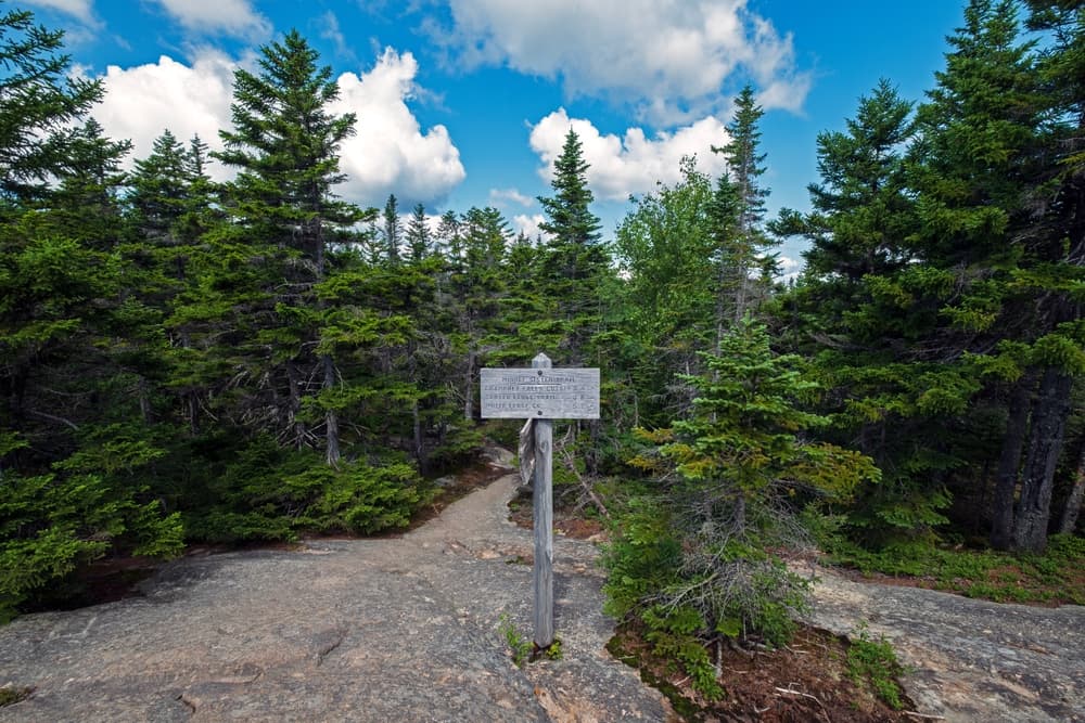
Trail markings vary across the 52 With a View routes. Well-traveled peaks often have clear blazes or cairns, but more remote or less popular summits may have faint markings or rely on trail registers and natural features for guidance. Reliable navigation requires a combination of detailed topographic maps, such as those produced by the Appalachian Mountain Club or New England Trail Maps, a compass, and GPS units or smartphone apps with offline capability. Always carry a physical map as backup. Weather conditions like fog, rain, or early snow can reduce visibility, increasing the difficulty of route finding. Experience with route navigation and basic wilderness survival skills is strongly recommended for this challenge.
Permits and Fees
Hiking the 52 With a View involves exposure to typical mountain risks including sudden weather changes, steep terrain, and potential wildlife encounters. Thunderstorms are common in summer afternoons, so starting early and monitoring forecasts are important. Rocky scrambles and slippery ledges require caution and proper footwear. Some routes cross streams that can swell rapidly after rain. Carrying a first aid kit, knowing basic injury treatment, and hiking with a partner or group can increase safety. Cell phone coverage is spotty in many areas, so consider carrying a personal locator beacon.
Permits and Fees
Access to the peaks on the 52 With a View generally occurs within public lands such as the White Mountain National Forest, where no special permits are required for day hiking. However, some state parks and recreation areas may charge parking fees, especially at popular trailheads. Camping in designated areas may require permits or registration, and fees vary by location and season. It is advisable to check with the New Hampshire Division of Parks and Recreation or the U.S. Forest Service for current regulations.
NH 52 with a View: common questions
How long is NH 52 with a View?
NH 52 with a View covers 450 miles in total.
How long does NH 52 with a View take to complete?
Most people complete NH 52 with a View in about 4-8 years.
When is the best time to do NH 52 with a View?
The best season for NH 52 with a View is Summer, Spring, Fall.
How many checkpoints does NH 52 with a View have?
NH 52 with a View has 52 checkpoints to log on the way to finishing it.
Plan your journey.
Keep this journey for later, or share it with someone you would like to go with.
Northeast routes
More New England hiking challenges
Compare 52 With a View to the other classic Northeast challenges and find the next one to chase.