
New England NE 67 Highest
New England
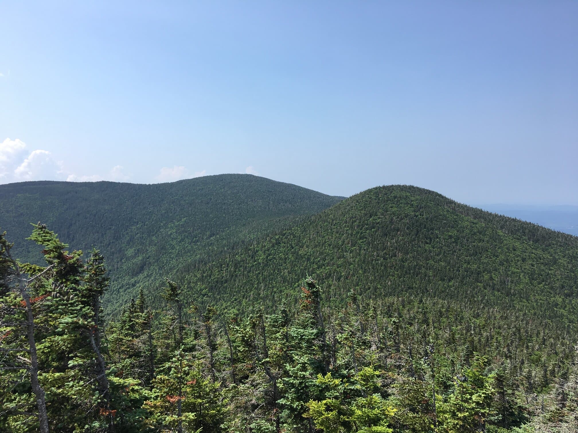
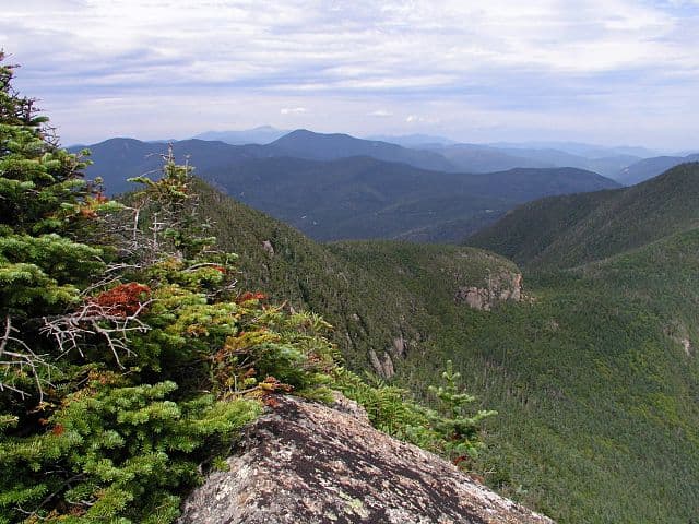
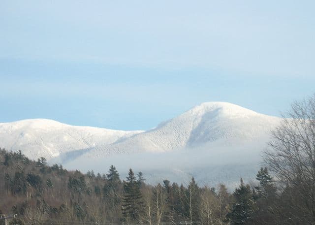
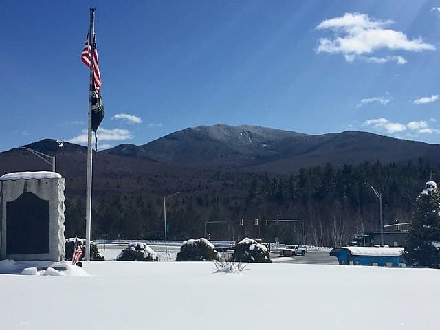
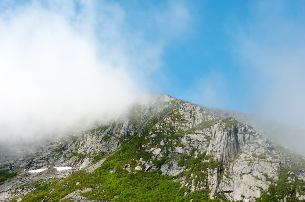
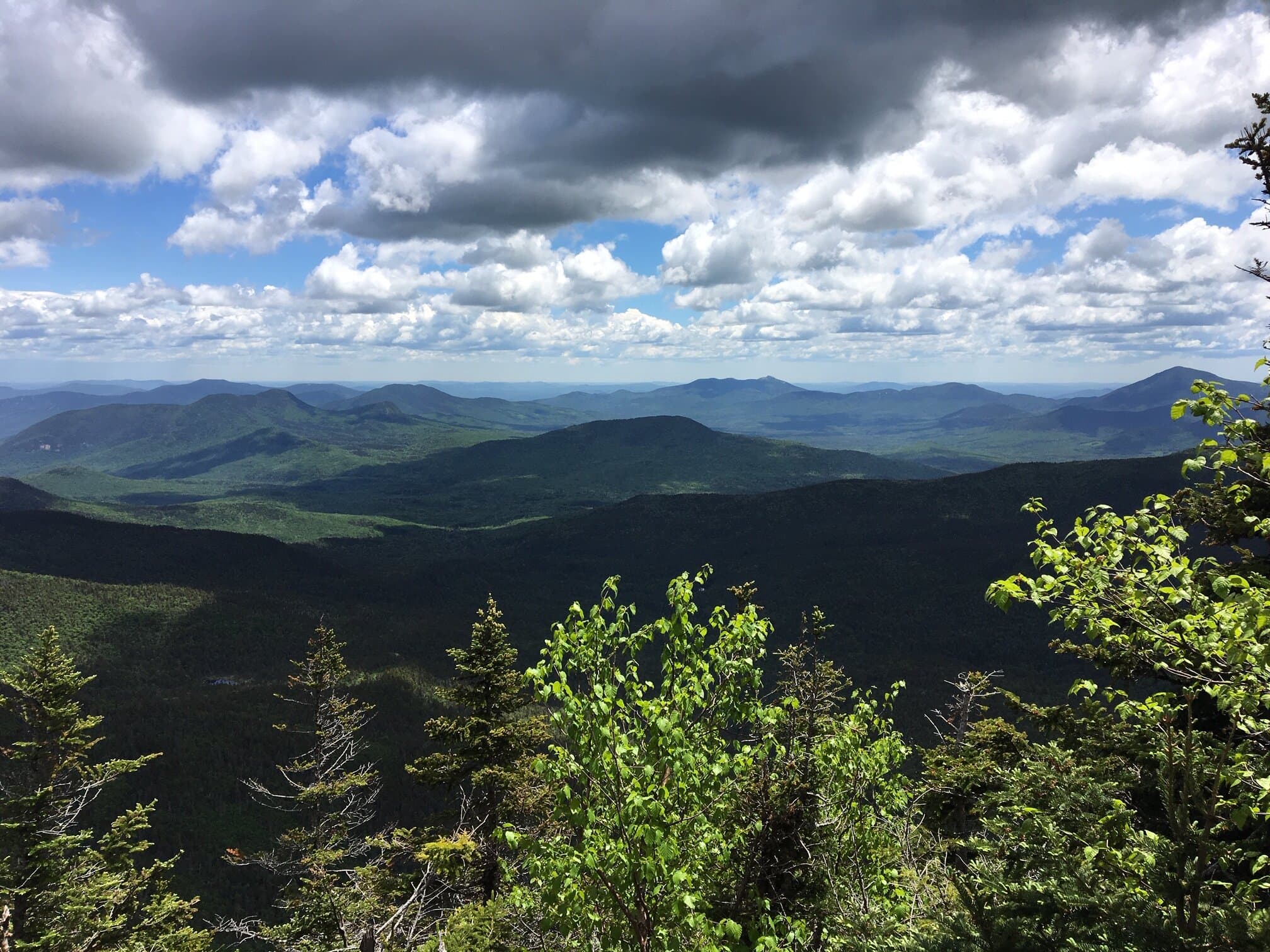
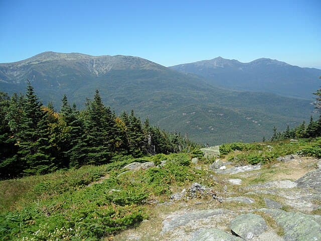
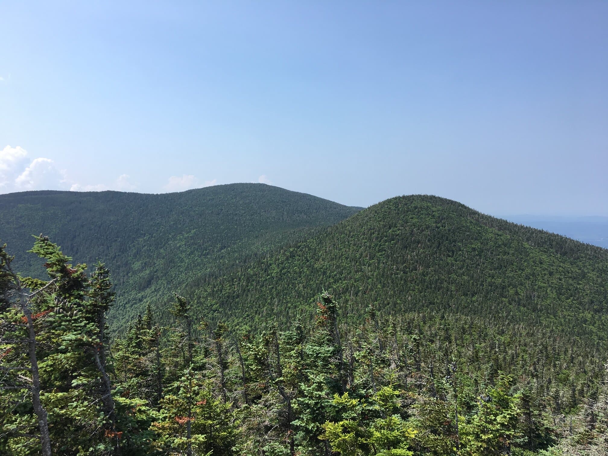
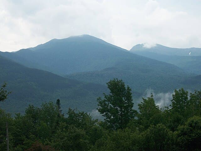
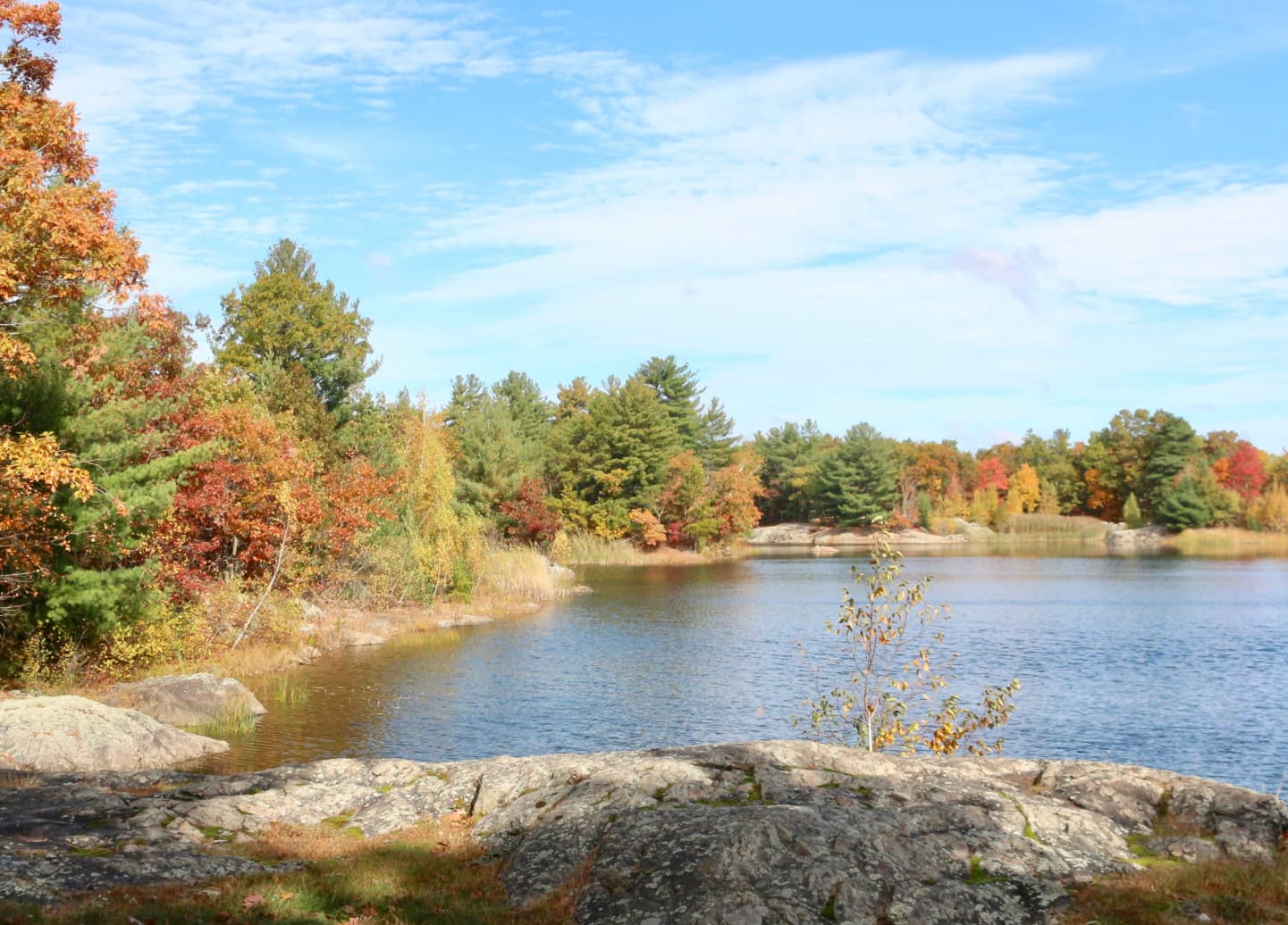
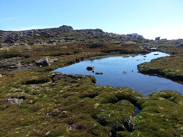
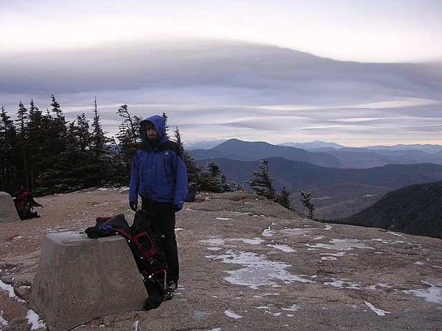
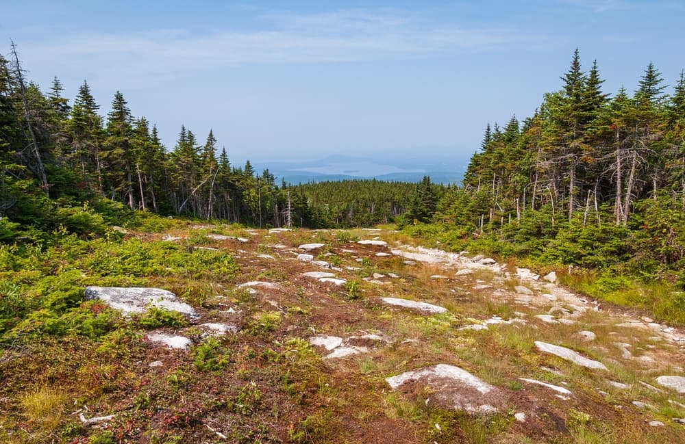
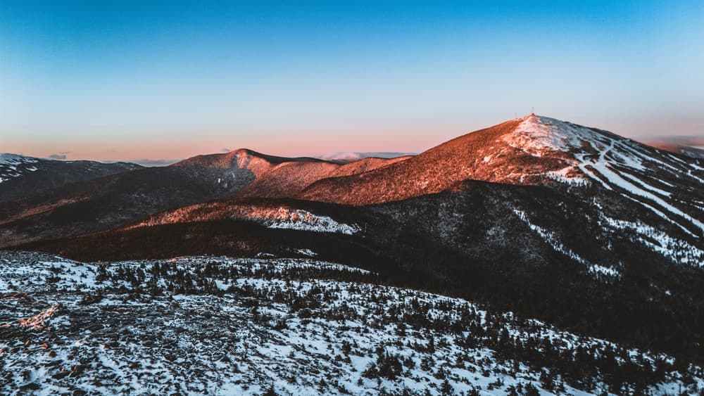
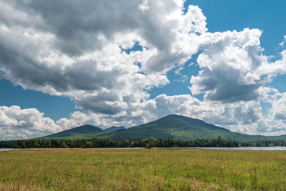
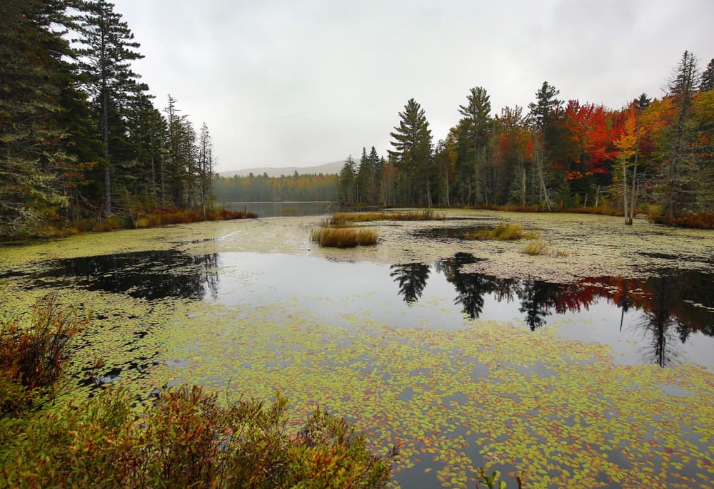
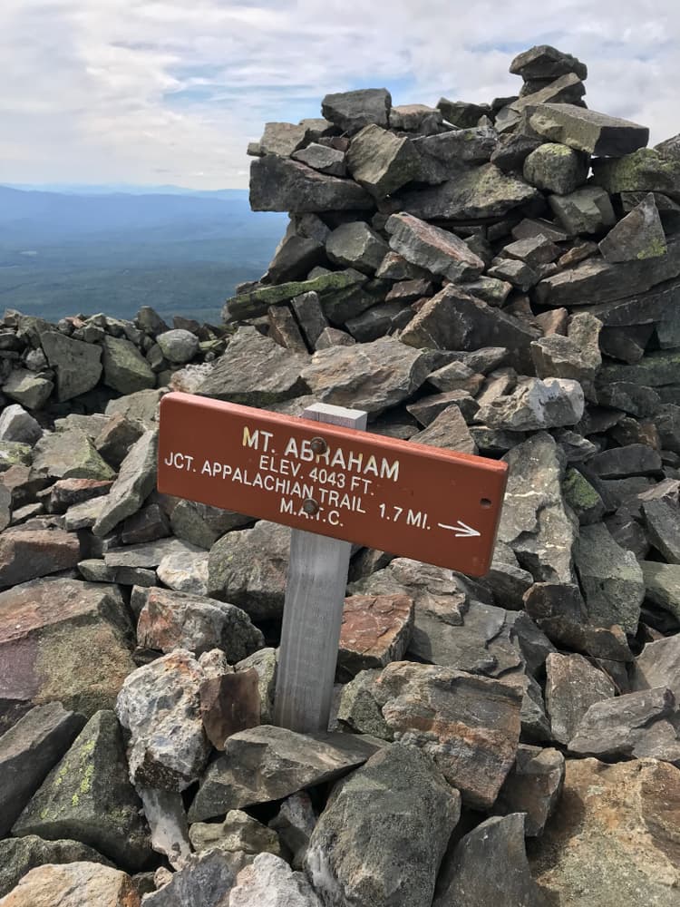
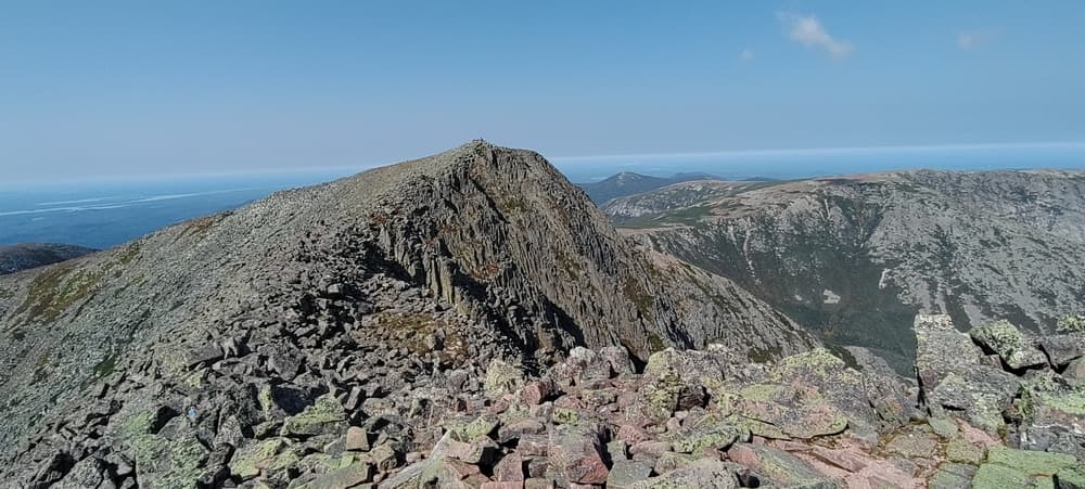
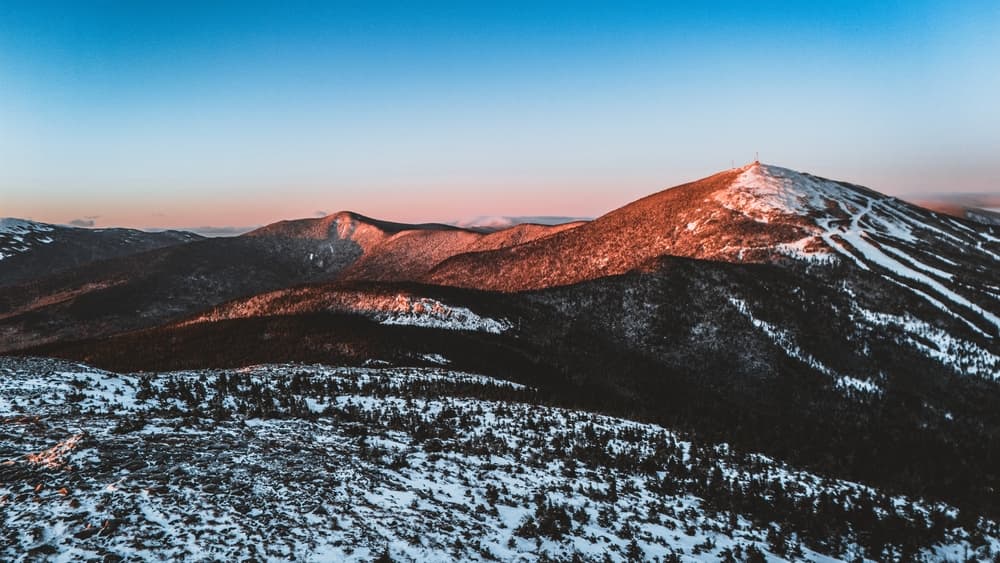
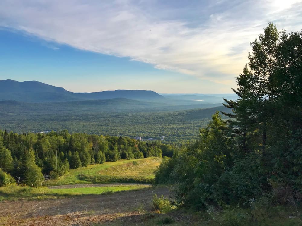
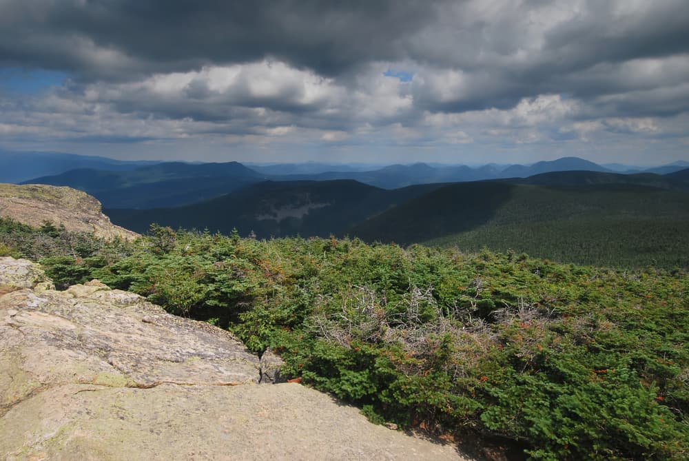
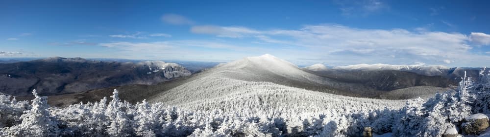
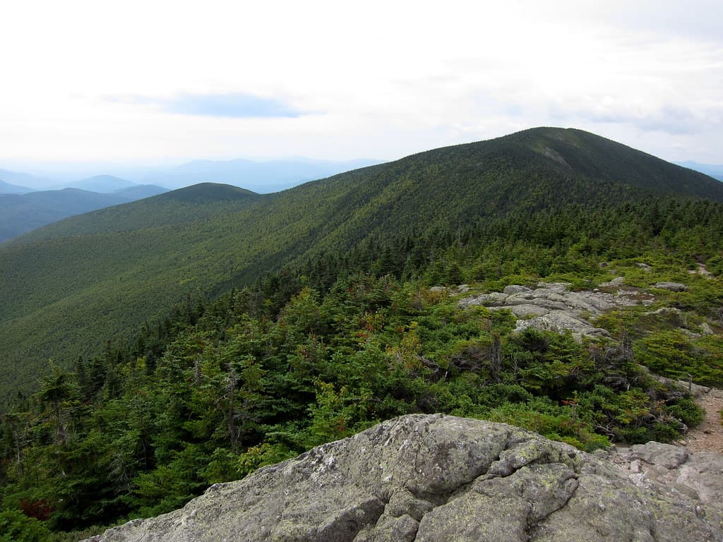

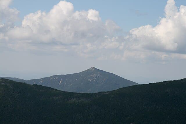
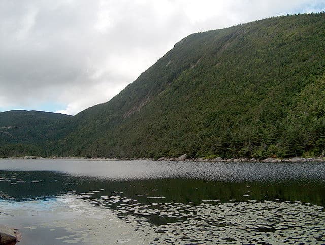
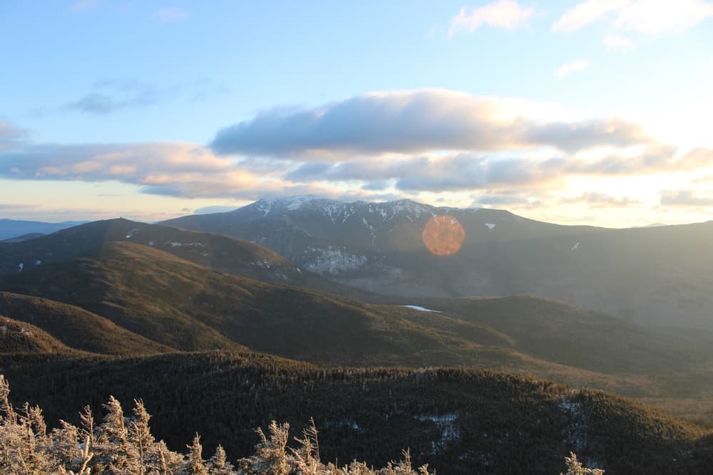
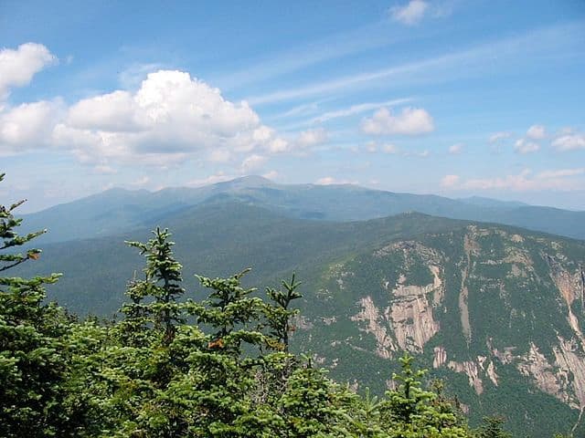
About this quest
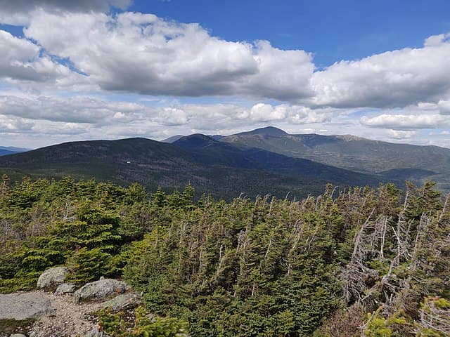
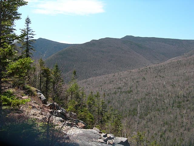
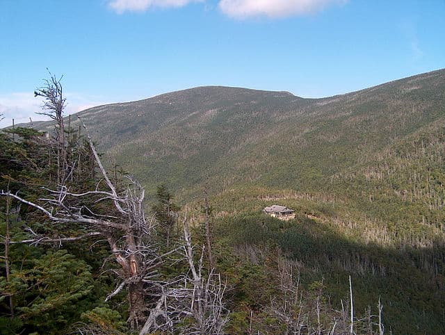
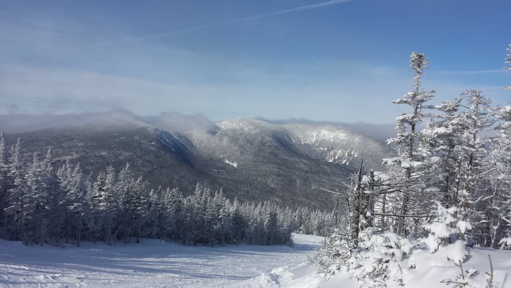
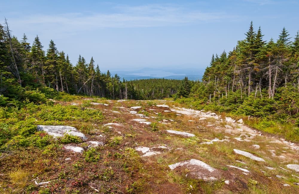
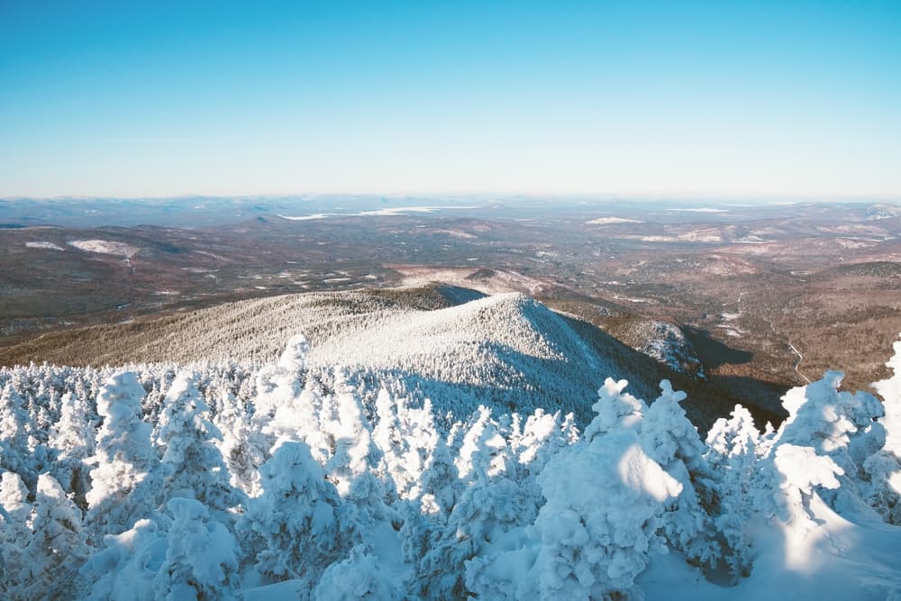
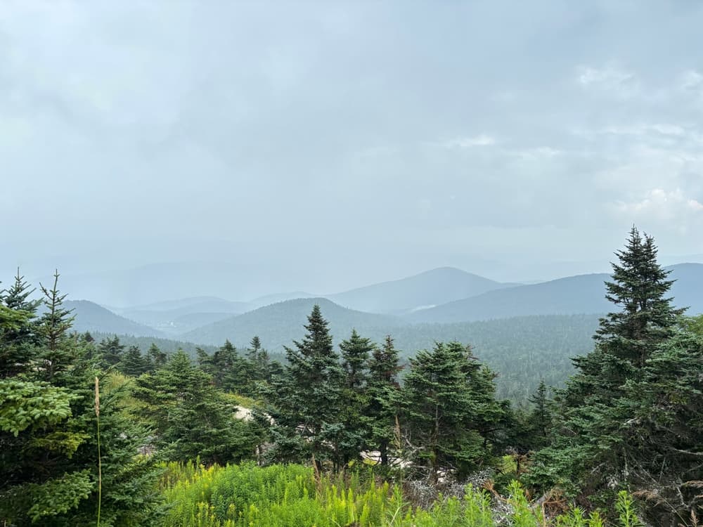
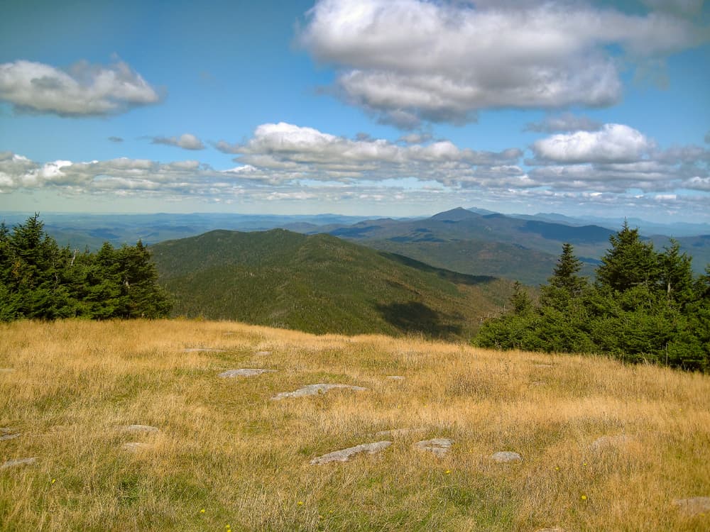
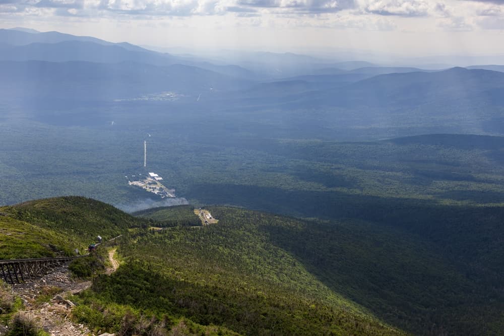
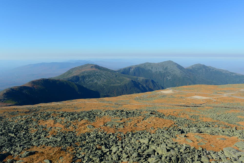
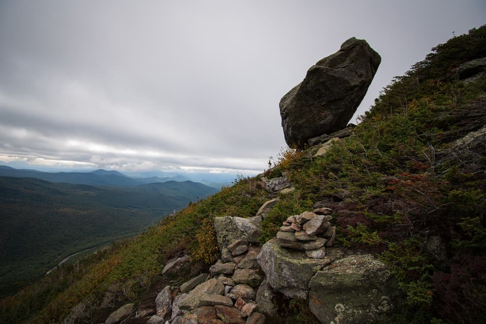
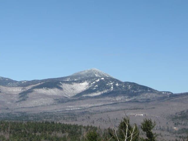
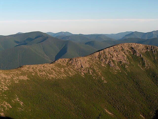
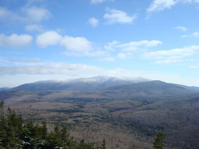
The New England 67 (NE67) is the next-level peak-bagging challenge for those who have completed the NH48 and want to expand their adventure across New England. This list includes all 67 peaks over 4,000 feet across New Hampshire (48), Vermont (5), and Maine (14). Tackle the rugged peaks of Baxter State Park, Maine’s 4,000-footers, and the Green Mountains of Vermont.
Quick facts
- peaks
- 67located
- shape
- collection
- total distance
- 300 miles
- best season
- Summer, Spring, Fall
- avg completion
- 4-9 years
Loading your progress…
Map and places
Choose a place. Visit in any order.
Journey overview
8 of 67 places. Open the full itinerary to explore any place.
- PlaceWhite Mountains, NH
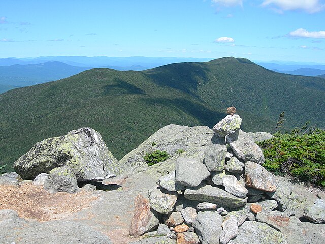
Middle Carter (1,405 m) sits along the Carter-Moriah Range, between North and South Carter. While its summit is wooded, a nearby outlook provides views across the Wild River Wilderness toward the Presidentials.
- PlaceWhite Mountains, NH
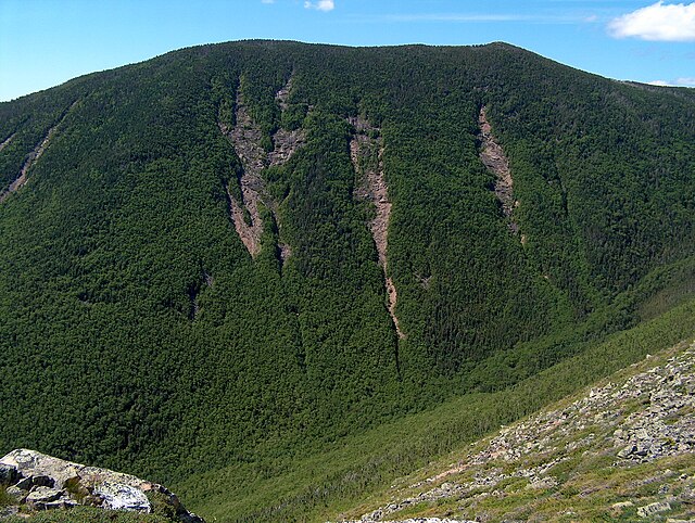
West Bond (1,384 m) lies deep in the Pemigewasset Wilderness and is the most remote of the Bonds. Its small, rocky summit is famed for solitude and dramatic views over Zealand Notch and Bondcliff.
- PlaceWhite Mountains, NH
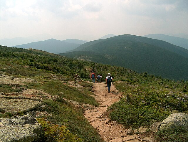
Mount Pierce marks the end of the main Presidential Traverse for many hikers. Its summit is partly open, providing views north to Washington and Monroe. The trail is forested and gradual, offering a calming descent into lower elevations.
- PlaceVermont
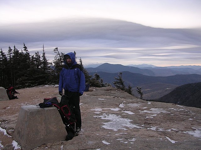
One of Vermont’s most recognizable peaks.
- PlaceMaine High Peaks Region
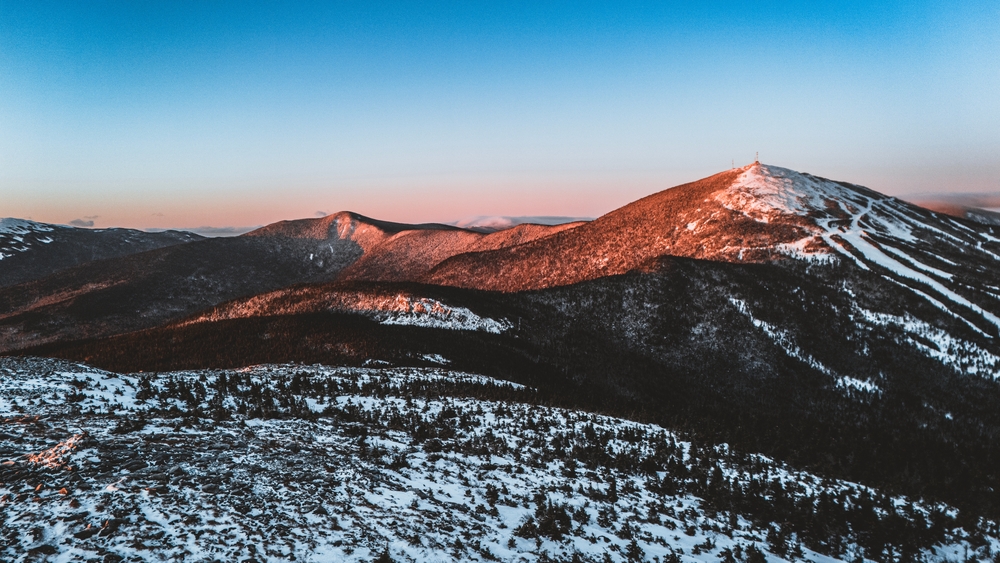
Highest point of Maine’s Bigelow Range, known for stunning ridgeline views.
- PlaceNew Hampshire, United States
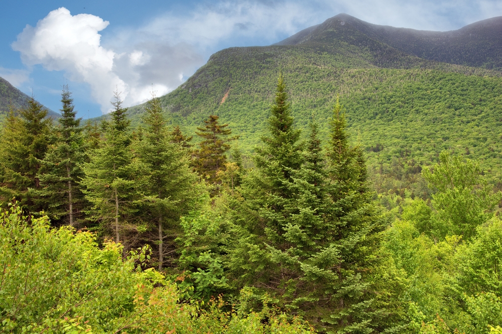
Rising to 1,268 m, East Osceola is part of the Sandwich Range in New Hampshire’s White Mountains. It lies within the White Mountain National Forest and offers rugged terrain with limited summit views.
- PlaceWhite Mountains, NH
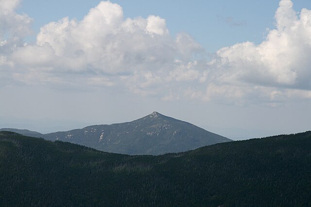
Mount Garfield (1,372 m) offers one of the best summit views in the Whites. Located on the northern edge of the Pemigewasset Wilderness, it features a broad, rocky summit once used as a fire tower site.
- PlaceWhite Mountains, NH
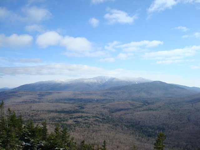
Mount Moosilauke (1,464 m) is the westernmost 4K in the Whites and features a broad, alpine summit. It’s part of the Dartmouth College Grant and known for its sweeping 360° views and strong summit winds.
You can explore the itinerary while it loads.
Pins show individual places; there is no route between them. Select a pin to read its place in the itinerary.
Overview
The New England 67 Highest challenge consists of hiking the 67 highest peaks across the six New England states, an endeavor that attracts dedicated peakbaggers and hiking enthusiasts eager to explore some of the region’s most rugged and scenic landscapes. This list, compiled and maintained by the New England 67 Highest club, includes mountains with an elevation of at least 3,050 feet (930 meters), spanning Maine, New Hampshire, Vermont, Massachusetts, Connecticut, and New York.
Statistics and Elevation Profile
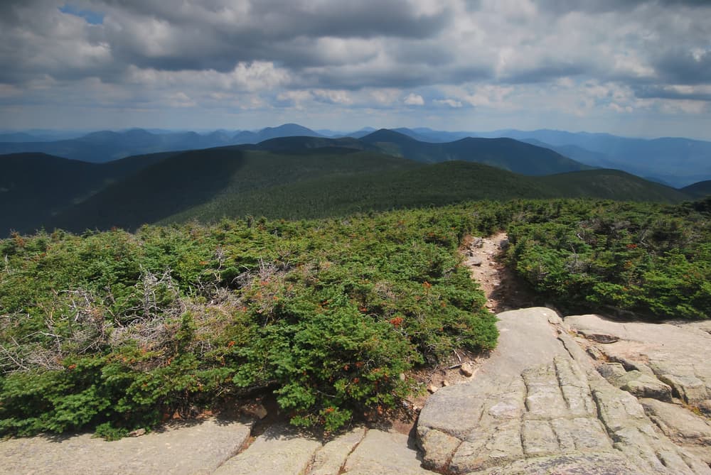
The combined total elevation gain for completing all 67 peaks varies depending on the order and routes chosen but often exceeds 35,000 feet (10,700 meters), making it a serious challenge for any hiker. The peaks range in elevation from just above 3,050 feet (the cutoff) to Mount Washington’s summit at 6,288 feet (1,917 meters), the tallest in the Northeast. While many mountains are accessible via well-maintained trails, others require bushwhacking and route-finding skills due to less developed paths or remote locations. Most of the hikes vary in length from 3 to 8 miles round-trip, with some longer approaches for the more remote peaks. Elevation gains per hike typically range from 1,000 to 3,000 feet, with the terrain becoming steeper and more exposed at higher altitudes. Hikers should expect a mix of forested ascents, rocky scrambles, and alpine environments, especially in the White Mountains of New Hampshire and the northern ranges in Vermont and Maine.
Highlights and Landmarks
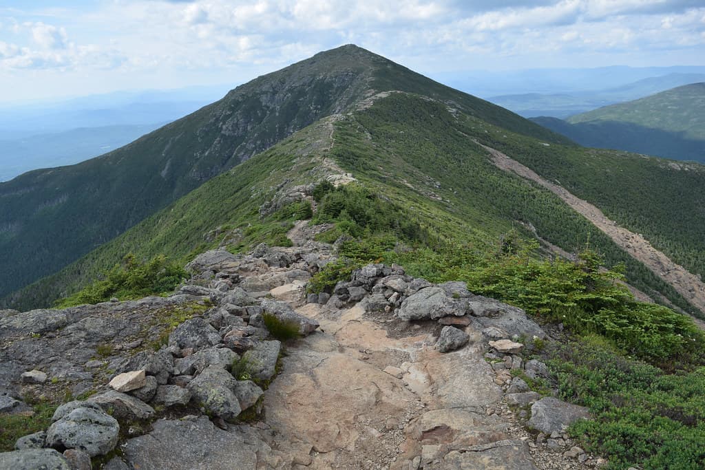
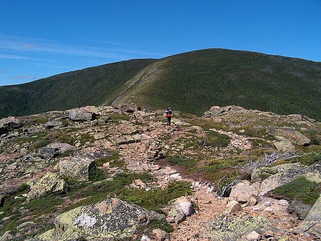
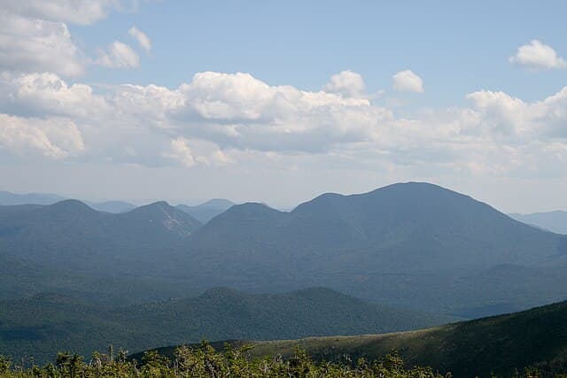
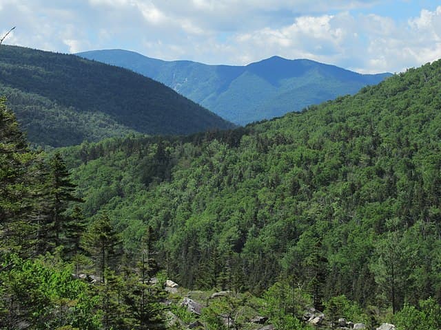
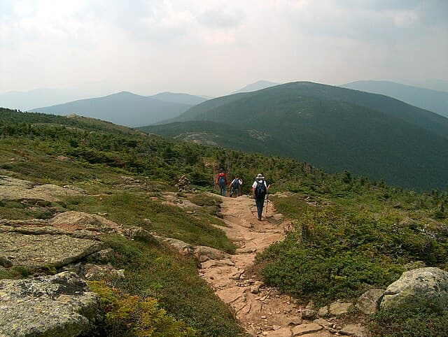
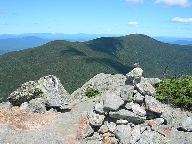
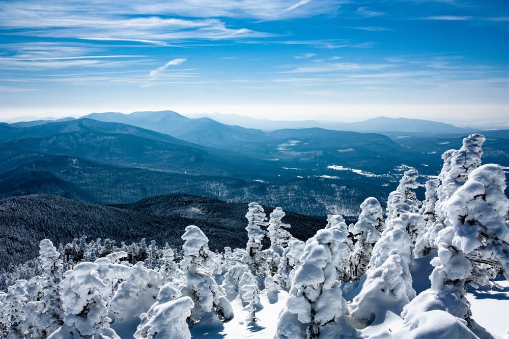
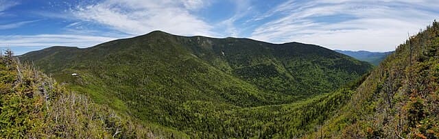
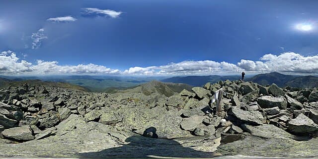
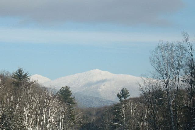
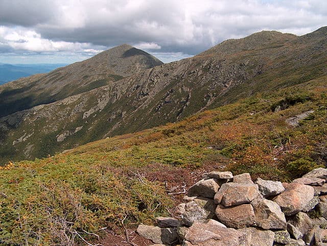
Hiking the New England 67 Highest exposes adventurers to some of the most iconic mountain landscapes in the region. The White Mountains dominate with their rugged ridges, alpine zones, and panoramic vistas. Notable peaks like Mount Washington offer sweeping views of surrounding states and Canada on clear days, as well as access to historic summit buildings. In Vermont, the challenge includes peaks in the Green Mountains such as Mount Mansfield and Killington Peak, featuring dense forests and scenic ridgelines. Maine’s portion brings hikers to the Longfellow Mountains and remote peaks like Sugarloaf Mountain, known for their wilderness feel and fewer crowds. The southernmost peaks in Massachusetts, Connecticut, and New York provide a contrast with gentler slopes and heavily forested terrain, often with rich autumn colors.
Culture and History
The mountains in the New England 67 Highest reflect the region’s rich natural and cultural history. The White Mountains, long a destination for outdoor enthusiasts, have been shaped by centuries of logging, conservation efforts, and early alpine tourism. Historic huts and trails built by the Appalachian Mountain Club and the White Mountain National Forest demonstrate a long-standing commitment to public access and wilderness preservation. In Vermont and Maine, the mountains have traditionally supported local communities through logging and small-scale farming. Indigenous peoples, including the Abenaki and Penobscot, have deep ties to these lands, with many trails and landmarks holding cultural significance. The southern peaks hold a different historical flavor, often near early colonial settlements and New England towns. Hiking these mountains offers a glimpse into the broader story of human settlement and natural resource use in the northeastern United States.
Geology
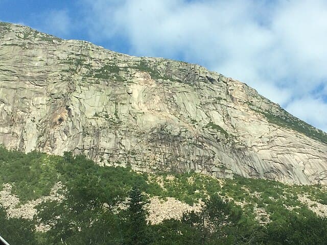
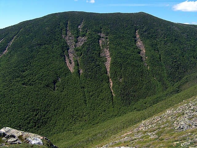
The geology of the New England 67 Highest peaks reveals a complex history shaped by ancient tectonic collisions, glaciation, and erosion. The White Mountains primarily consist of granite and metamorphic rock formed over hundreds of millions of years. Their jagged profiles are the result of glacial sculpting during the last Ice Age, leaving behind cirques, U-shaped valleys, and exposed rocky summits. Vermont’s Green Mountains and parts of Maine’s ranges feature older, metamorphosed sedimentary rocks, contributing to gentler slopes and rounded ridges. The geological diversity supports a wide range of soils and plant communities.
Essential Gear
Hiking the New England 67 Highest demands reliable gear suited for a variety of conditions and terrain types. Durable, waterproof hiking boots with solid traction are a must, especially for rocky or wet trails. Layered clothing systems allow hikers to adapt to rapidly changing weather, which is common in the region, particularly at higher elevations where temperatures can drop significantly. A daypack with hydration, snacks, navigation tools (map, compass, GPS device), and first aid supplies is essential. Trekking poles can reduce knee strain on steep descents and improve balance on uneven terrain. For some of the more remote or less maintained peaks, bushwhacking may be required, so long pants and insect protection help prevent scratches and bites. In winter or shoulder seasons, microspikes or crampons and gaiters become necessary for icy or snowy conditions. Emergency items like a headlamp, whistle, and space blanket add safety when venturing into the backcountry or less frequented areas.
Accommodation
Because the New England 67 Highest covers a broad geographic area, accommodation options vary widely. In popular hiking areas such as the White Mountains, there is a well-developed network of lodges, hostels, campgrounds, and mountain huts operated by organizations like the Appalachian Mountain Club. Reservations are strongly recommended during peak seasons from late spring through early fall. In more remote parts of Maine and Vermont, options can be limited to rustic campsites or small inns in nearby towns. Wild camping is generally allowed in designated areas within national forests, but hikers should check local regulations. For those tackling multiple peaks over several days or weeks, a mix of camping and lodging can balance convenience and budget. Planning ahead for transportation and accommodations is key, especially on weekends and holidays when demand peaks.
Food and Water
Food planning for the New England 67 Highest depends largely on the remoteness of the hike and the availability of resupply points. Many trails start near towns or trailheads with grocery stores and restaurants, but more isolated peaks require carrying all necessary food. Most hikers rely on lightweight, high-calorie meals such as trail mix, energy bars, dried fruits, and dehydrated meals for longer days. Water sources include streams, brooks, and lakes, but all natural water should be treated or filtered before drinking to avoid illness. Mountain shelters and huts, particularly in the White Mountains, may offer food and water, but these should not be solely relied upon. Carrying enough water and having purification options is critical, especially in summer when streams can run low.
Navigation
The trail marking system for the New England 67 Highest varies significantly. Many of the more popular peaks are on well-marked trails such as the Appalachian Trail, which uses white blazes, or other state park systems with color-coded markers. However, several summits require off-trail navigation and route-finding skills, especially those less visited. Topographic maps from the USGS or specialized hiking maps, along with compass and GPS devices, are highly recommended. Digital apps like AllTrails and Gaia GPS are useful but should be supplemented with physical maps as electronic devices can fail.
Permits and safety
Hiking the New England 67 Highest carries risks that must be managed carefully. Weather in the mountains can be unpredictable, with rapid changes leading to thunderstorms, fog, and temperature drops, particularly above 4,000 feet. Hypothermia is a concern in cooler months, and hikers should always be prepared with warm clothing and emergency shelter. Steep and rocky terrain increases the risk of slips and falls, so attention to footing and pacing is critical. Wildlife encounters, including black bears and moose, are possible in more remote areas. Hikers should practice safe food storage and bear awareness. Stream crossings and river fords can become dangerous after heavy rain or spring melt. No special permits are required to hike most of the New England 67 Highest peaks, as they are located on public lands managed by the National Forest Service, state parks, or other public agencies. Some areas may require parking fees or day-use passes, especially at popular trailheads in the White Mountains. Campgrounds and huts often require reservations and fees, which vary by location and season. Hikers should verify current regulations for wilderness camping and adhere to Leave No Trace principles to protect fragile alpine environments.
New England NE 67 Highest: common questions
How long is New England NE 67 Highest?
New England NE 67 Highest covers 300 miles in total.
How long does New England NE 67 Highest take to complete?
Most people complete New England NE 67 Highest in about 4-9 years.
When is the best time to do New England NE 67 Highest?
The best season for New England NE 67 Highest is Summer, Spring, Fall.
How many checkpoints does New England NE 67 Highest have?
New England NE 67 Highest has 67 checkpoints to log on the way to finishing it.
Plan your journey.
Keep this journey for later, or share it with someone you would like to go with.
Northeast routes
More New England hiking challenges
Adjacent challenges and articles, for when the NE67 is part of a bigger Northeast goal.