
Colorado 14ers
Colorado, United States
.jpg&w=3840&q=75&dpl=dpl_BopNME9LWLsJnQ9XffUX3zkS7Twj)

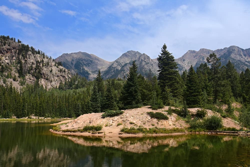
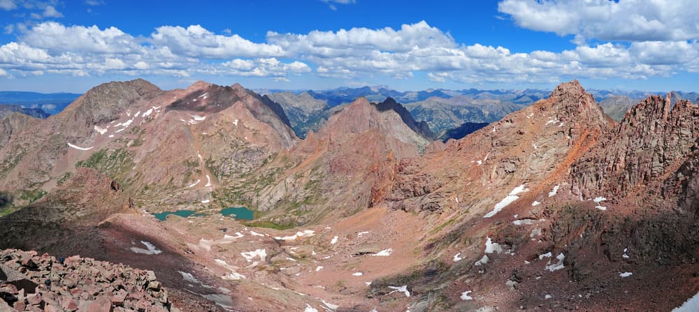
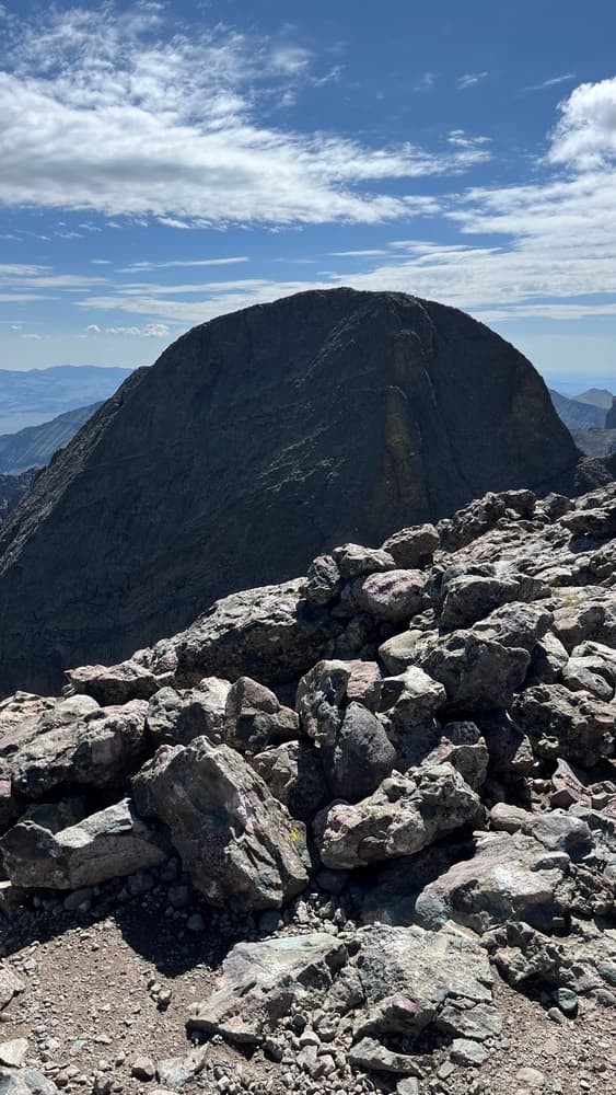
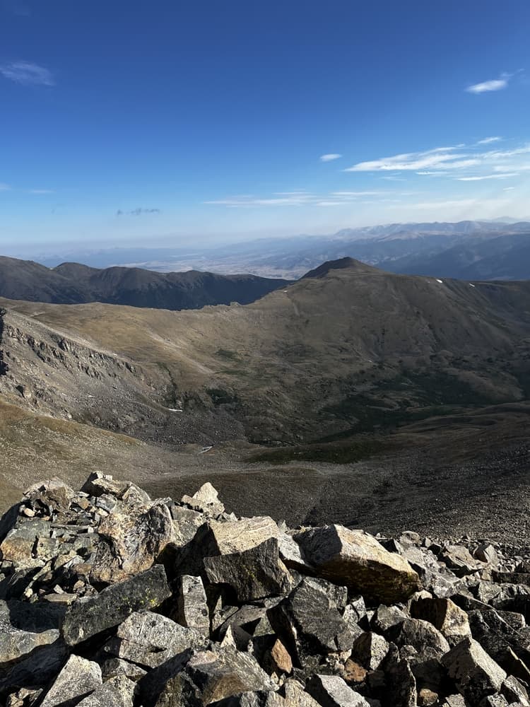
.jpg&w=3840&q=75&dpl=dpl_BopNME9LWLsJnQ9XffUX3zkS7Twj)
.jpg&w=3840&q=75&dpl=dpl_BopNME9LWLsJnQ9XffUX3zkS7Twj)
About this quest
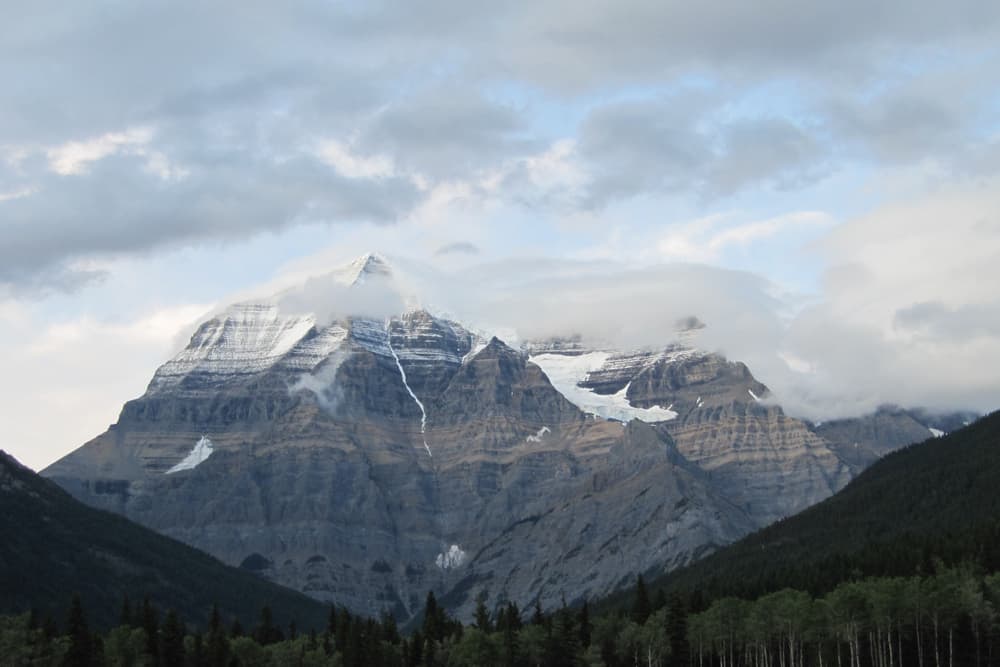
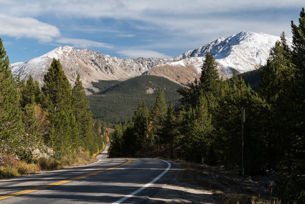
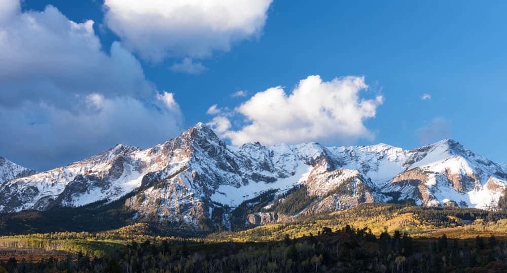
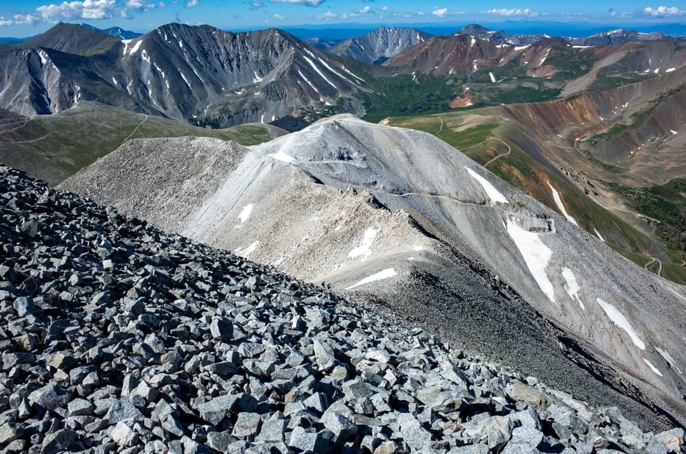
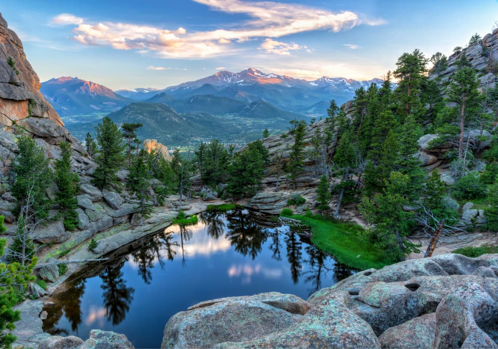
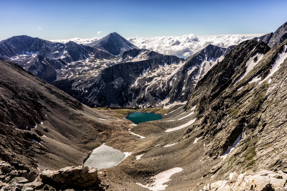
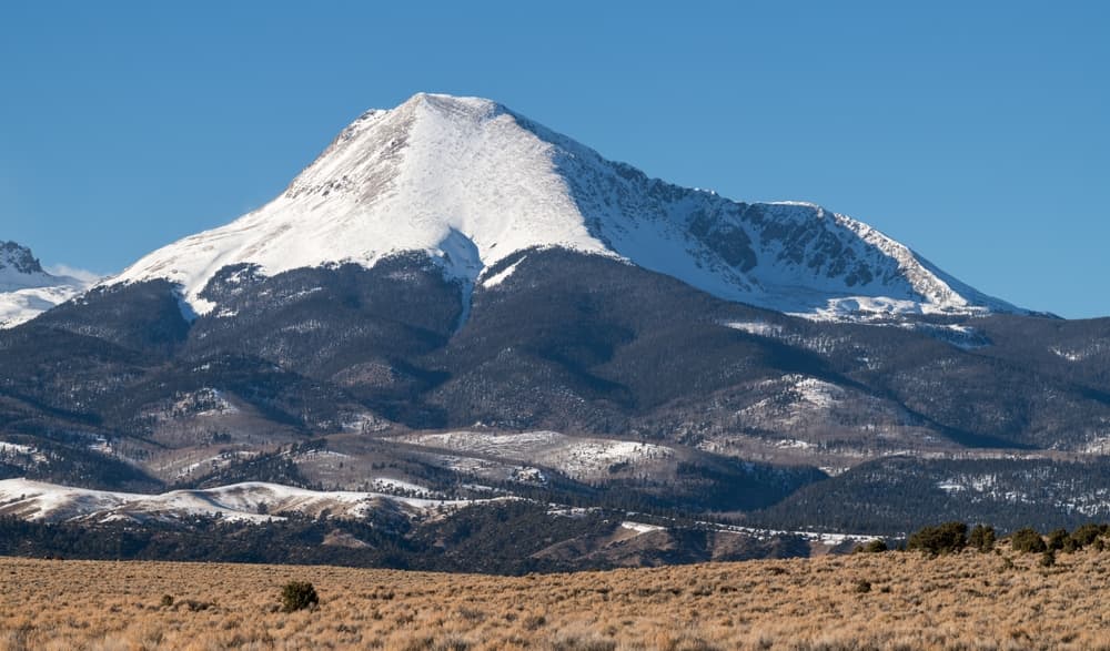
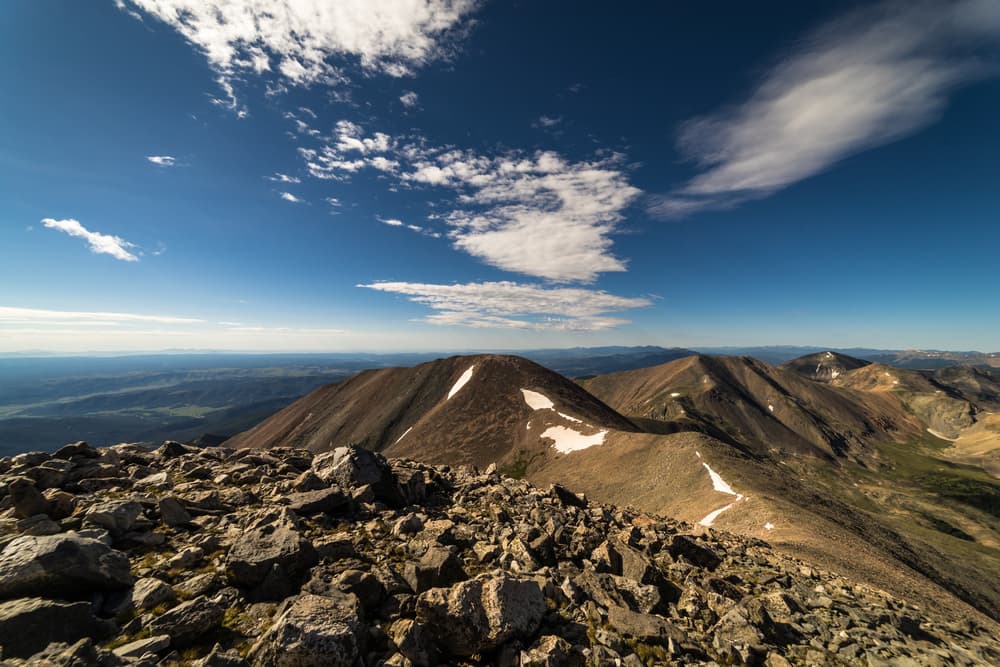
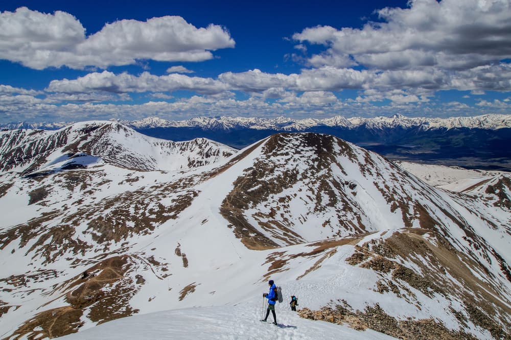
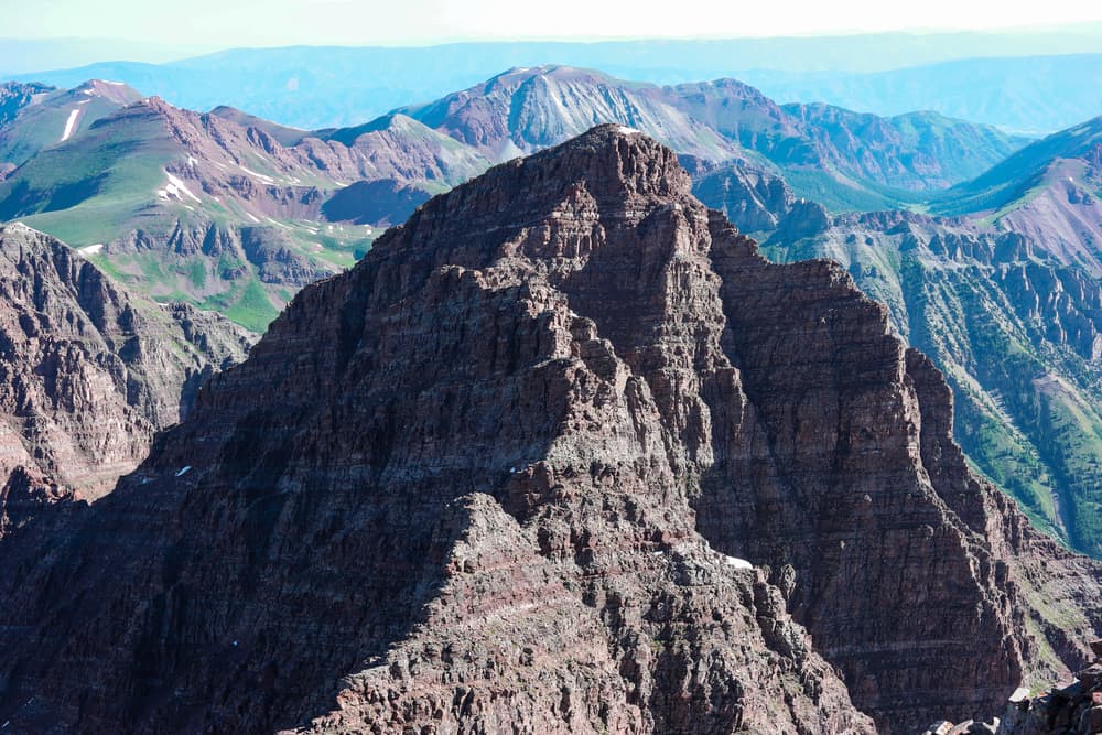
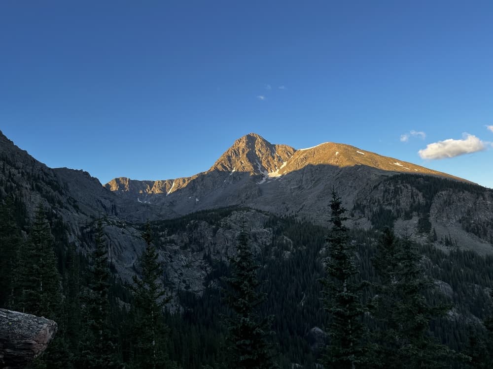
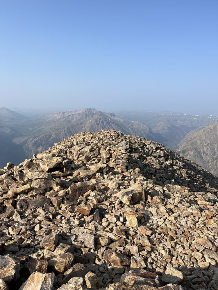
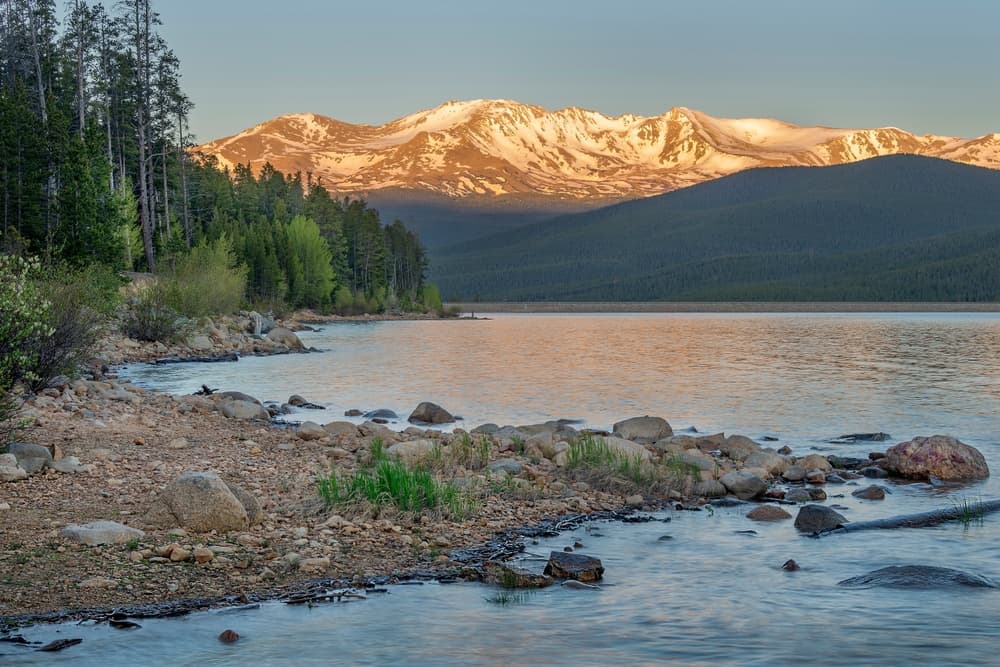
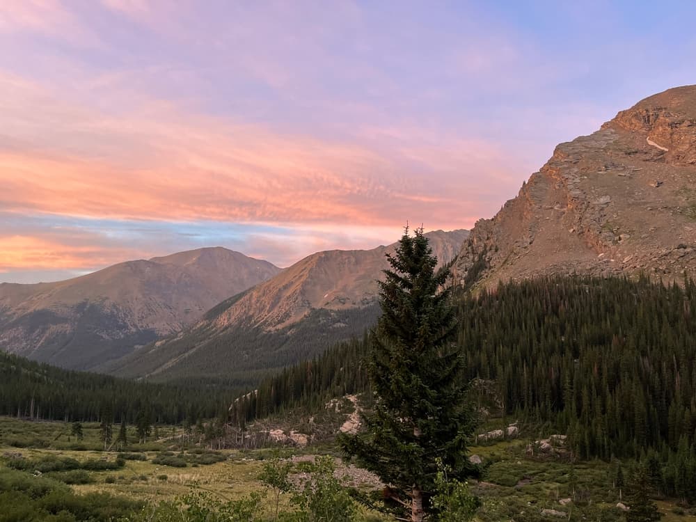
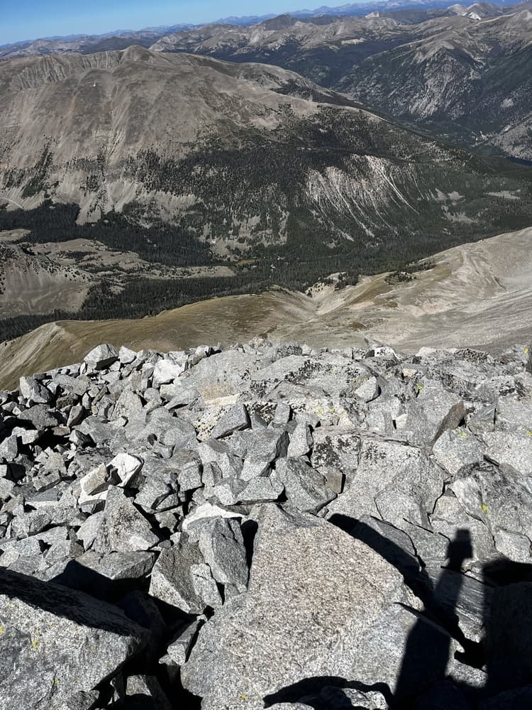
Colorado 14ers—mountains exceeding 14,000 feet (4,267 meters) in elevation—are legendary among hikers and climbers. With 58 official peaks spread across the Rockies, they offer a diverse range of challenges, from beginner-friendly walk-ups like Mount Bierstadt to technical ascents like Capitol Peak. These summits attract outdoor enthusiasts for their dramatic views, high-alpine ecosystems, and the sense of achievement that comes with standing on a literal high point. Most are located in four main ranges: the Sawatch, Mosquito, San Juan, and Elk Mountains. Weather conditions, altitude, and terrain can vary widely, making preparation and respect for the mountains essential.
Quick facts
- peaks
- 57located
- shape
- collection
- total distance
- not yet measured
- best season
- Anytime
- avg completion
- 5-10 years
Loading your progress…
Map and places
Choose a place. Visit in any order.
Journey overview
8 of 57 places. Open the full itinerary to explore any place.
- PlaceAlamosa, CO
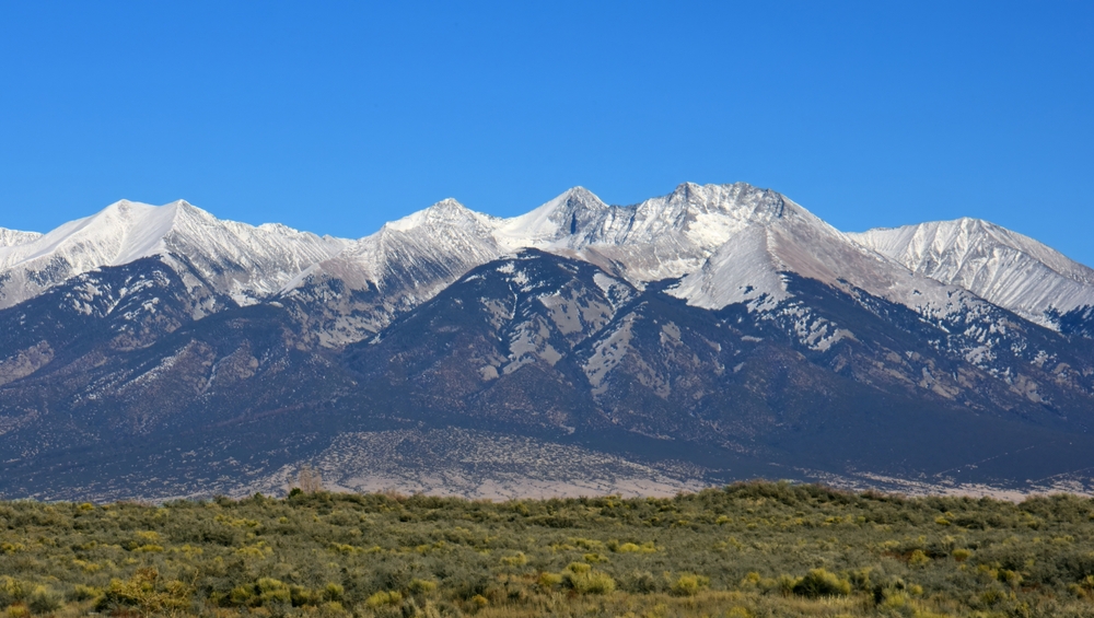
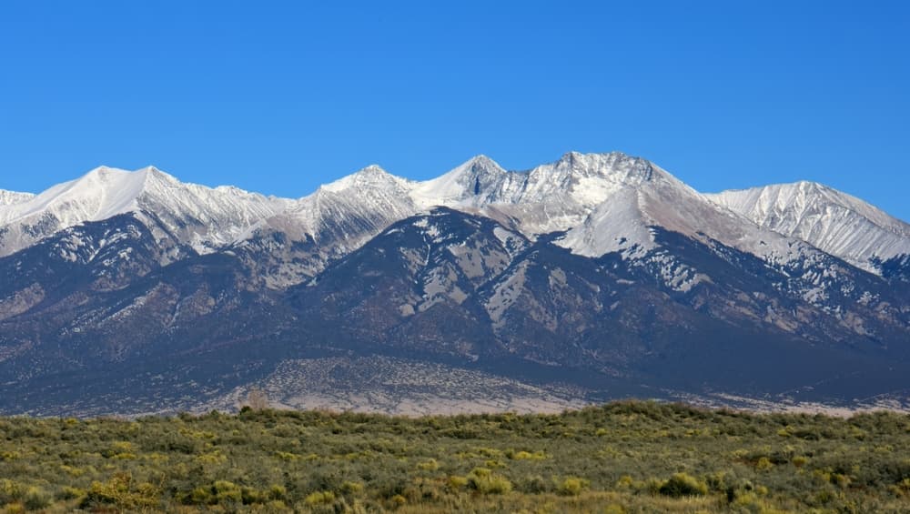
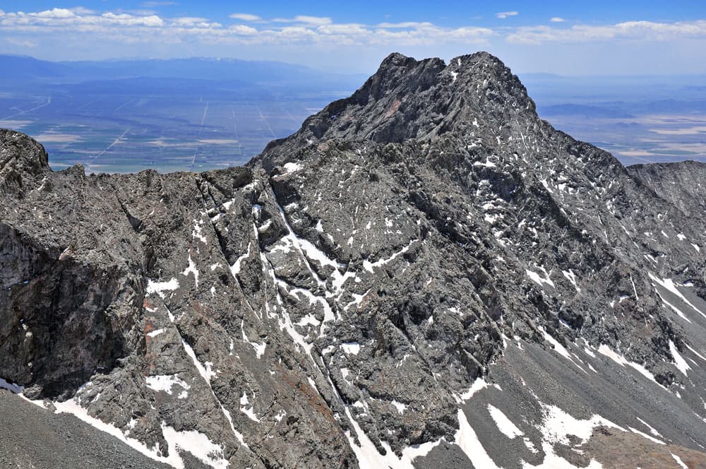
Blanca Peak is one of Colorado's premier high-altitude hikes, featuring alpine terrain, switchbacks, and sweeping Rocky Mountain views.
- PlaceAspen, CO
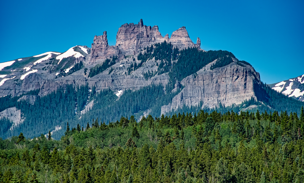
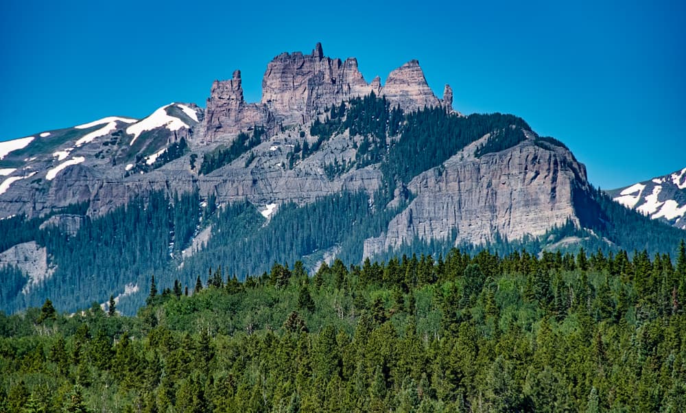
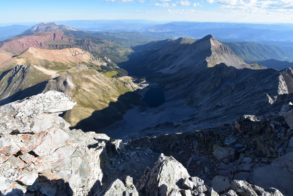
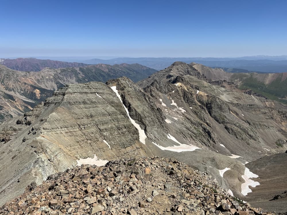
Castle Peak is the highest 14er in the Elk Mountains, often climbed with its neighbor, Conundrum Peak. It's known for its dramatic ridges, loose rock, and lingering snowfields well into summer. The peak offers a beautiful blend of alpine scenery and rugged terrain.
- PlaceTwin Lakes, CO
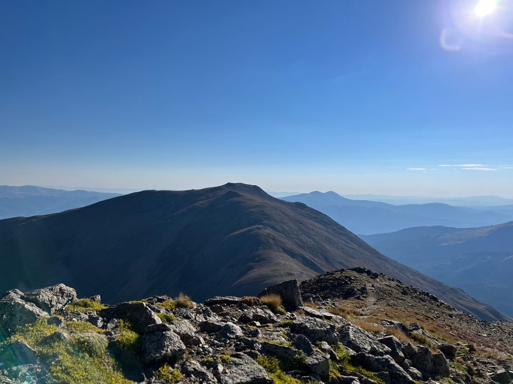
Mount Belford is a central Sawatch 14er known for its steep ascent and proximity to Mount Oxford. The trail climbs straight up Missouri Gulch with few breaks, offering a rigorous but rewarding hike. It’s common to link both peaks in one push.
- PlacePoncha Springs, CO
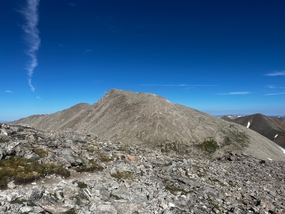
Often paired with Mount Shavano, Tabeguache Peak is a quieter summit with expansive views and a wild alpine feel. The name (pronounced "TAB-uh-wash") comes from the Ute word for "People of Sun Mountain." The trail is steep and rugged, with significant elevation gain when done as…
- PlaceBuena Vista, CO
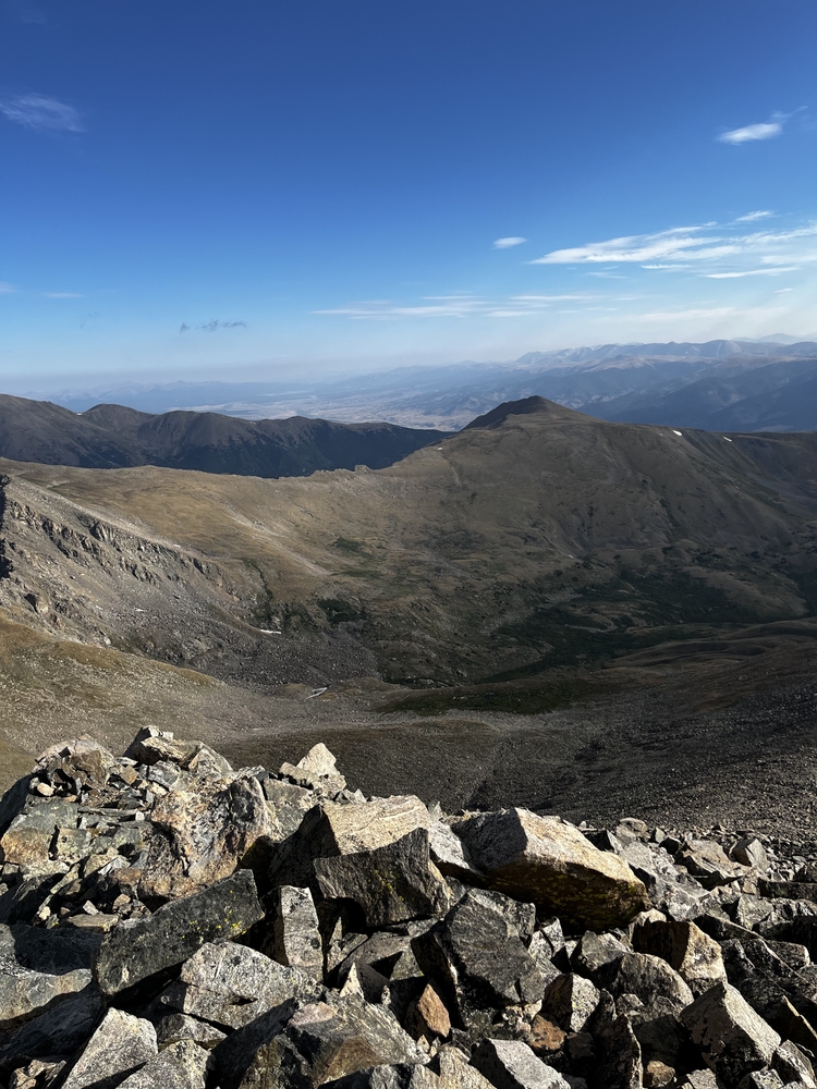
Mount Columbia is a quiet summit in the Collegiate Peaks, known for steep, eroded trails and a tough climb. Recent trail improvements have helped, but it's still considered one of the more tedious Sawatch ascents. The summit rewards with peaceful views and low traffic.
- PlacePark County, Colorado, United States
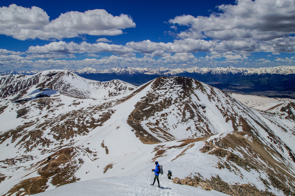
Mount Sherman is often considered one of the easiest Colorado 14ers, making it ideal for beginners. The standard route follows a former mining road past historic ruins, offering a relatively short and straightforward ascent. While less scenic than some peaks, it’s a quick and…
- PlaceTelluride, CO
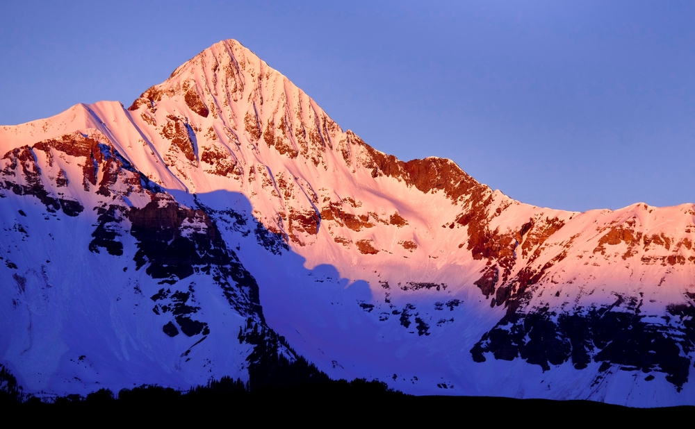
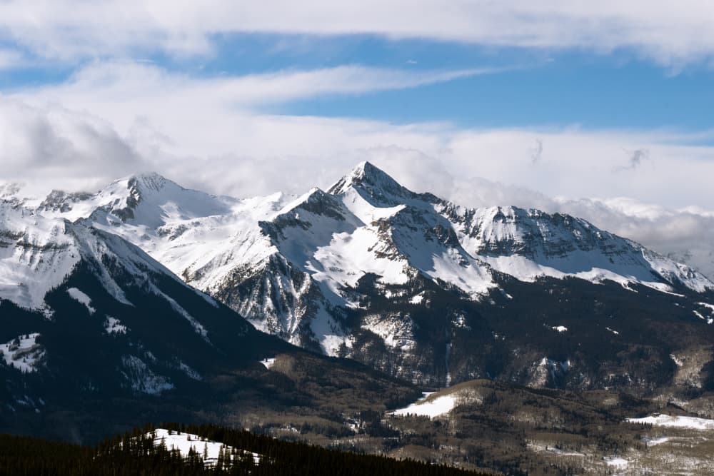
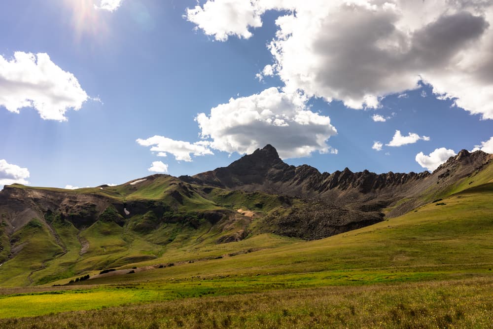
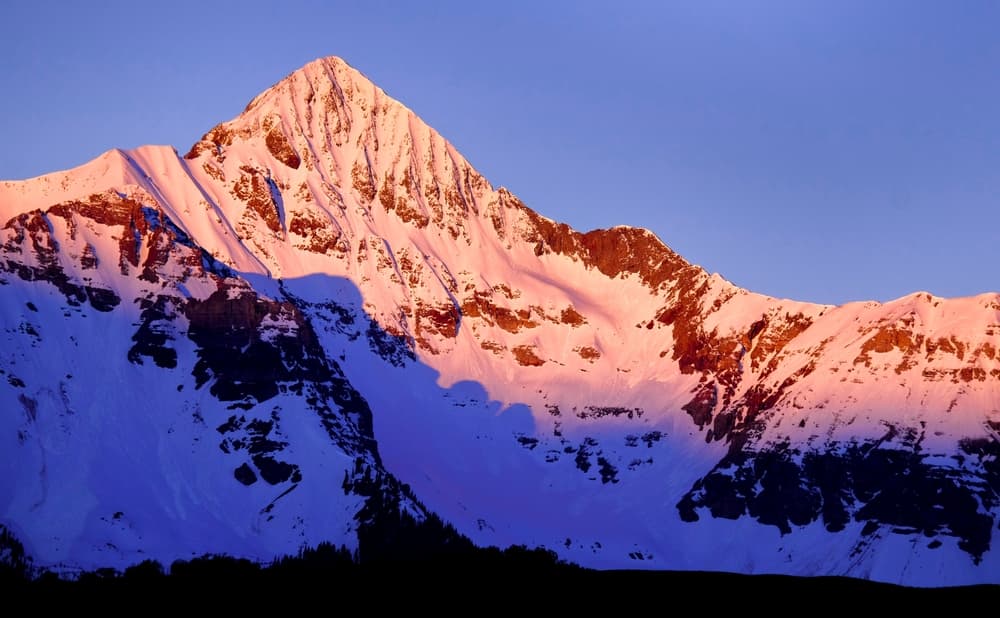
Famous for its photogenic profile on the Coors beer label, Wilson Peak is a challenging but popular climb in the San Juans. The Class 3 summit push features solid scrambling and a dramatic final ridge. It's often confused with the harder Mount Wilson nearby.
- PlaceBuena Vista, CO
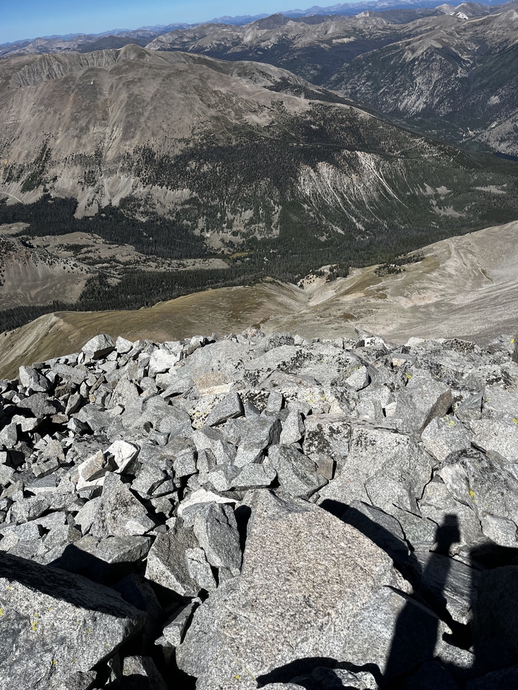
Mount Harvard is the third-highest peak in Colorado and the tallest of the Collegiate Peaks. Known for its long, remote feel, the route follows the scenic Horn Fork Basin, surrounded by wildflowers and rugged terrain. The summit offers commanding views and a sense of alpine…
You can explore the itinerary while it loads.
Pins show individual places; there is no route between them. Select a pin to read its place in the itinerary.
Overview
The Colorado 14ers represents America's ultimate high-altitude hiking challenge, drawing hundreds of thousands of dedicated hikers annually to tackle peaks rising above 14,000 feet in the Colorado Rocky Mountains. Hikers explore the diverse alpine landscapes of the American West's most dramatic terrain. Colorado is home to 58 peaks that rise above 14,000 feet in elevation, known as the fourteeners or 14ers, making it the epicenter of high-altitude hiking in the contiguous United States. About 260,000 people climbed above 14,000 feet in Colorado last year!
Statistics and Elevation Profile
The complete Colorado 14ers challenge encompasses approximately 1,000+ miles of hiking with over 200,000 feet of total elevation gain, making it a substantial multi-year or even multi-decade undertaking for most hikers. Of the 96 14ers in the United States, an impressive 53 of them are in Colorado, though the standard list includes 58 peaks when counting all summits meeting the prominence requirements. Highest Peak: Mount Elbert at 14,440 feet, Colorado's tallest mountain and the second highest in the contiguous United States Most Challenging: Capitol Peak and the Maroon Bells require significant technical climbing skills and Class 4 scrambling Shortest Hikes: Mount Bierstadt and Grays Peak can be completed in 4-6 hours with moderate effort Longest Hikes: The Black Cloud Trail on Mount Elbert takes 10-14 hours and gains 5,300 feet in elevation Individual peak distances typically range from 4-8 mile round trips for accessible summits to 15+ mile expeditions for remote peaks. Mount Elbert includes about 4,700 feet in elevation gain and takes roughly seven hours to complete, representing a typical challenging 14er experience. The technical peaks like Capitol Peak and Pyramid Peak push even experienced climbers to their limits with exposed scrambling and serious objective hazards.
Highlights and Landmarks
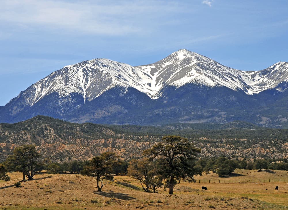
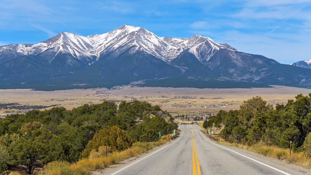
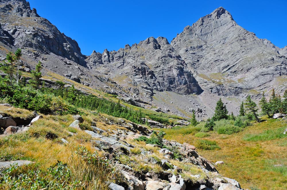
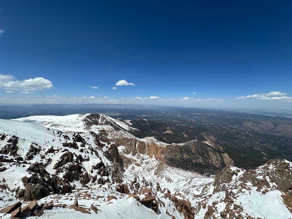
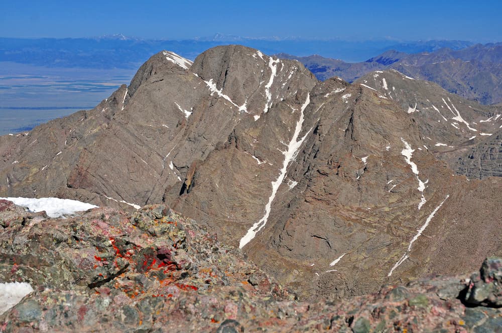
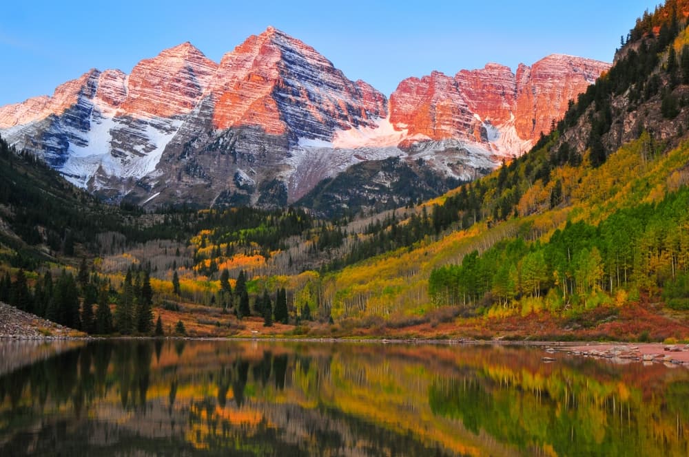
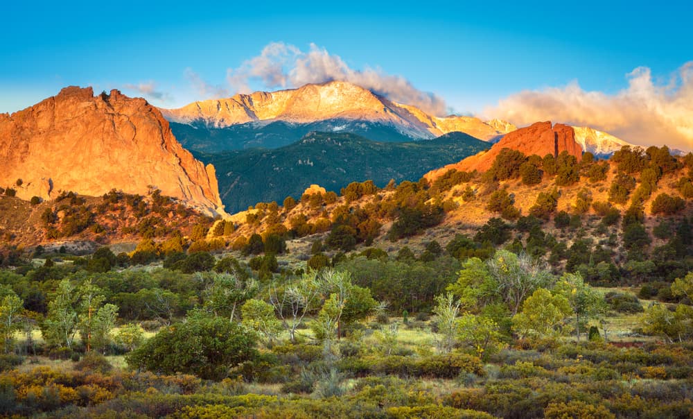
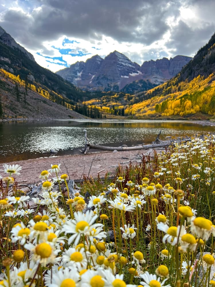
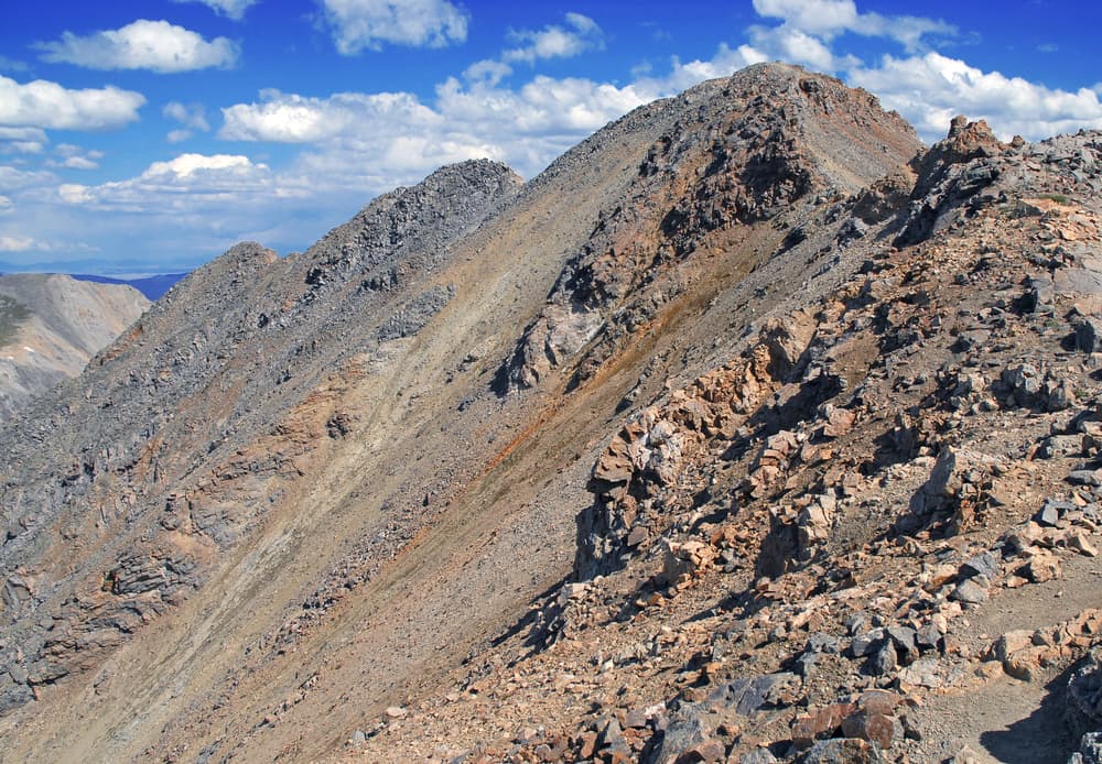
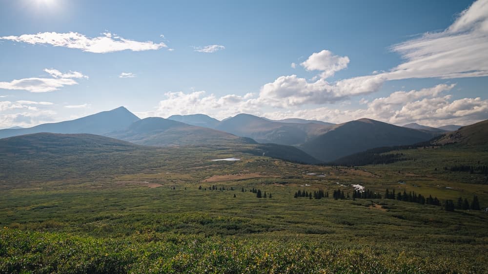
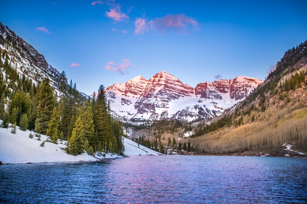
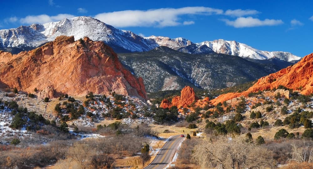
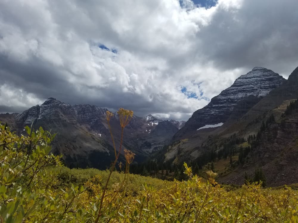
The Colorado 14ers show incredible diversity from exposed knife-edge ridges to gentle walk-up summits through pristine alpine tundra. Mount Elbert offers sweeping views across the entire Sawatch Range, while Longs Peak provides the classic technical challenge with the exposed Keyhole Route and notorious Diamond Face. The Maroon Bells near Aspen create one of the most photographed mountain scenes in North America, though their beauty masks serious climbing challenges. Pikes Peak holds special significance as "America's Mountain," inspiring the song "America the Beautiful" and accessible by both hiking and the famous Pikes Peak Highway. The Sawatch Range contains the highest concentration of 14ers, with massive peaks like Mount Massive and Mount Harvard dominating the landscape. The Sangre de Cristo Range offers dramatic eastern faces rising directly from the San Luis Valley floor. Mount of the Holy Cross features the distinctive snow-filled couloirs forming a cross pattern visible from the valley, making it one of Colorado's most recognizable peaks. The Chicago Basin in the Weminuche Wilderness requires a scenic train ride to access three remote 14ers: Sunlight, Windom, and Eolus peaks. Castle Peak and Conundrum Peak provide challenging approaches through pristine wilderness areas far from crowds.
Culture and History
The Colorado 14ers traverse landscapes rich with mining history, Native American heritage, and the development of the American West. The Colorado Gold Rush of 1859 brought thousands of prospectors into the high country, establishing mining camps and supply routes that evolved into modern trail systems. Towns like Leadville, Silverton, and Georgetown grew around mining operations, creating the infrastructure that supports today's hiking community. Native American tribes, particularly the Ute, Arapaho, and Cheyenne peoples, traveled these mountain passes for centuries before European settlement. Traditional hunting grounds and seasonal camps throughout the high peaks region supported indigenous communities through complex migration patterns following game and seasonal resources. Many peak names reflect this heritage, though others honor early explorers, surveyors, and mining pioneers. The conservation movement gained momentum through early preservation efforts in Colorado, leading to the establishment of wilderness areas and national forests that protect these peaks today. The Colorado Mountain Club, founded in 1912, helped establish hiking traditions and safety practices that continue influencing modern mountaineering culture. Scientific expeditions and geological surveys mapped these peaks, contributing to our understanding of Rocky Mountain geology and climate.
Geology
The Colorado 14ers represent diverse geological formations spanning hundreds of millions of years of Earth's history. The Sawatch Range features ancient Precambrian granite and gneiss cores uplifted during the Laramide Orogeny, creating the massive, rounded summits characteristic of peaks like Mount Elbert and Mount Massive. These resistant rocks formed deep within the Earth's crust before being exposed through millions of years of erosion. The Sangre de Cristo Range displays more recent sedimentary and volcanic rocks, including distinctive red sandstones and volcanic deposits that create the sharp, jagged profiles of peaks like Crestone Peak and Kit Carson Mountain. The Elk Mountains contain complex volcanic geology with intrusive igneous rocks creating the unstable, crumbling formations found on the notorious Maroon Bells and Capitol Peak.
Essential Gear
Successful 14ers expeditions require gear suitable for extreme altitude, rapidly changing weather, and technical terrain. Sturdy, broken-in hiking boots with aggressive tread patterns prove essential for loose scree, wet rock, and steep descents common throughout the high peaks. Mountaineering boots become necessary for winter ascents and technical routes requiring crampon compatibility. Waterproof jackets and pants provide essential protection against sudden storms that can turn deadly above treeline. Sun protection, including high-SPF sunscreen, sunglasses, and wide-brimmed hats are a must. Navigation equipment must include detailed topographic maps, a compass, and GPS devices with downloaded offline maps, as weather can obscure landmarks and trails quickly at altitude.
Accommodation
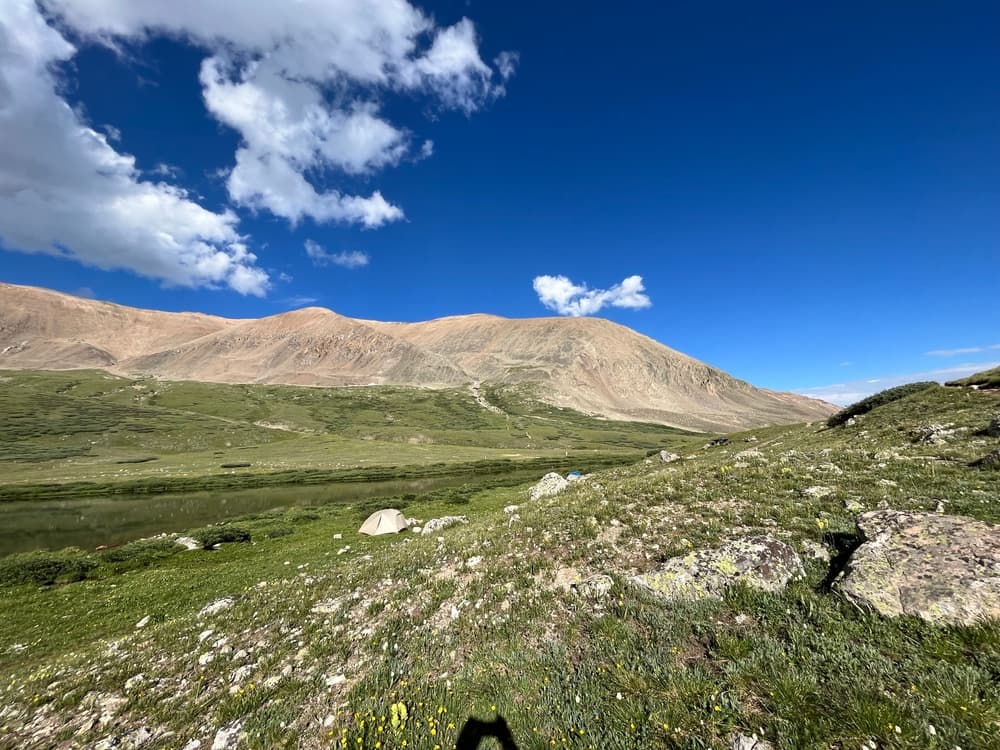
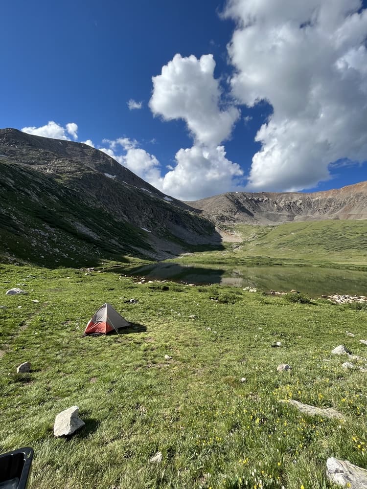
The Colorado 14ers challenge typically requires diverse accommodation approaches given the widespread distribution of peaks across the state. Established campgrounds near popular trailheads like Piney Lake, Crater Lake, and Chicago Basin provide convenient base camps for multi-peak expeditions. These facilities offer restrooms, water sources, and bear storage, making them ideal headquarters for extended campaigns. Backcountry camping opportunities exist throughout the national forests, though regulations vary by wilderness area and elevation. Gateway towns like Leadville, Silverton, Buena Vista, and Crested Butte offer hotel and lodge accommodations with a mountain town atmosphere and hiking supply stores. These communities provide excellent bases for tackling multiple peaks in specific ranges while maintaining comfortable accommodations. Vacation rental properties throughout mountain communities provide economical options for groups planning extended 14ers campaigns from a single location.
Food and Water
Water sources throughout the 14ers region require careful consideration and proper treatment due to high-altitude conditions and potential contamination. Natural springs and streams provide abundant water in most areas during summer months, though proper filtration or purification remains essential for safety. Popular water sources include streams in Chicago Basin, lakes throughout the Sawatch Range, and reliable springs near established camping areas. Resupply options exist in mountain communities, with outdoor gear stores in towns like Buena Vista, Leadville, and Gunnison providing specialized high-altitude hiking foods and last-minute gear needs. Self-sufficient hikers often cache supplies at strategic locations for multi-day expeditions, following wilderness regulations and Leave No Trace principles for food storage and waste management.
Navigation
Most Colorado 14ers follow well-established routes marked with cairns, social trails, and occasional trail markers, though navigation skills become essential above treeline, where weather can obscure landmarks rapidly. The summer 14er hiking season is from mid-June through early September, when trails remain most visible and weather conditions optimize safety margins. However, route finding challenges increase significantly on technical peaks and during shoulder seasons. Essential maps include the USGS 7.5-minute topographic series covering each peak, providing detailed elevation contours and terrain features crucial for safe navigation. The Colorado Mountain Club's guidebooks offer comprehensive route descriptions with GPS coordinates, though conditions change seasonally and after storms. Digital applications like Gaia GPS, AllTrails, and CalTopo provide offline capability essential for areas without cell coverage.
Safety and Risk Management
Colorado 14ers hiking presents significant risks requiring constant awareness and proper preparation due to high altitude, extreme weather, and technical terrain. Altitude sickness affects many hikers above 8,000 feet, with symptoms potentially becoming serious or life-threatening above 12,000 feet. Proper acclimatization, gradual ascent rates, and recognition of altitude sickness symptoms become essential for safe high-altitude hiking. Lightning represents the most serious weather hazard, with afternoon thunderstorms developing rapidly and creating deadly conditions on exposed summits and ridges. The standard recommendation suggests starting hikes before dawn to reach summits and descend below treeline before afternoon storm development. Weather awareness and willingness to turn back become critical safety skills for surviving Colorado's volatile mountain weather. Rockfall danger exists on many routes, particularly on peaks with loose sedimentary rock or volcanic formations.
Permits and Fees
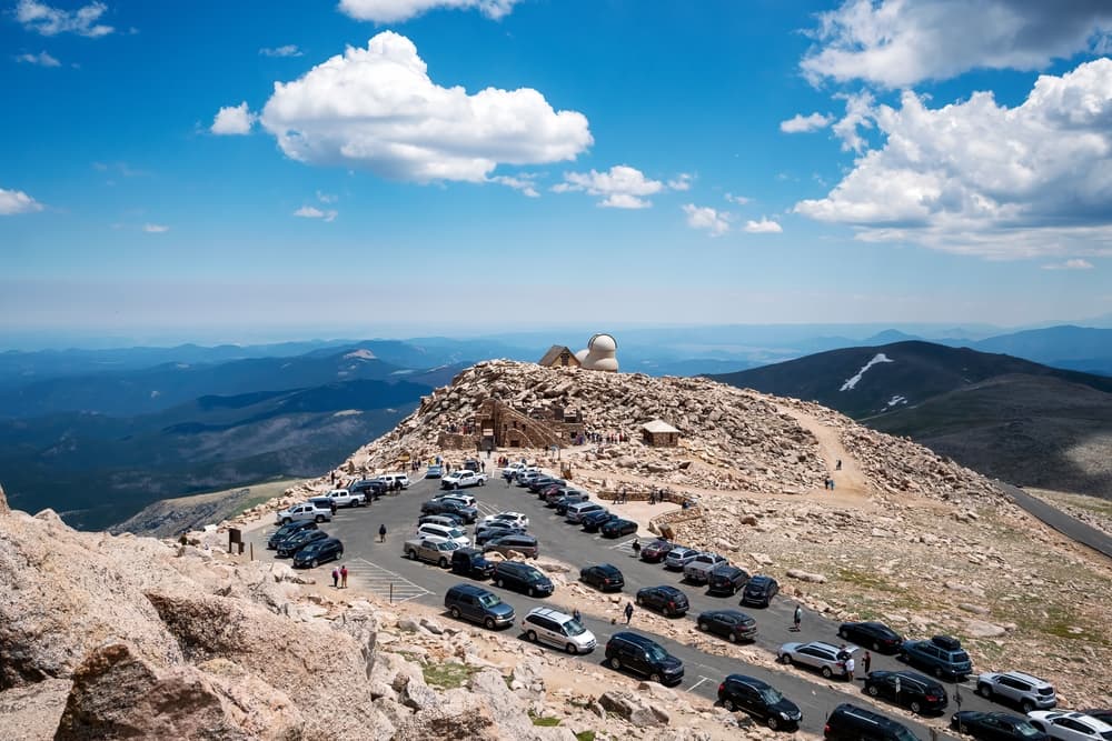
Most Colorado 14ers hiking requires no special permits or entrance fees beyond parking charges at established trailheads and forest service requirements. However, several peaks accessed through private property or special management areas require advance planning and sometimes fees. The Chicago Basin 14ers require train tickets on the Durango & Silverton Narrow Gauge Railroad, adding significant cost and scheduling complexity to these remote peaks. Wilderness area regulations apply to many 14ers approaches, including group size limitations, camping restrictions, and Leave No Trace requirements. Some areas require advanced permits for overnight camping, particularly during peak season when demand exceeds capacity. Fire restrictions commonly apply during dry conditions, affecting camping and cooking options throughout the hiking season. Parking fees apply at major trailheads, including those accessing popular peaks like Mount Bierstadt, Grays and Torreys Peaks, and Mount Evans, typically ranging from $5-10 daily during peak season.
Colorado 14ers: common questions
How long does Colorado 14ers take to complete?
Most people complete Colorado 14ers in about 5-10 years.
When is the best time to do Colorado 14ers?
The best season for Colorado 14ers is Anytime.
How many checkpoints does Colorado 14ers have?
Colorado 14ers has 57 checkpoints to log on the way to finishing it.
Plan your journey.
Keep this journey for later, or share it with someone you would like to go with.