
10 Highest Balkans Peaks
Balkans
.jpg&w=3840&q=75&dpl=dpl_BopNME9LWLsJnQ9XffUX3zkS7Twj)
About this quest
Trek to the top of the Balkans by summiting the highest peak in each country — a true adventure through wild terrain and diverse cultures. This challenge includes 12 summits: Triglav (Slovenia), Dinara (Croatia), Maglić (Bosnia & Herzegovina), Zla Kolata (Montenegro), Midžor (Serbia), Đeravica (Kosovo), Korab (North Macedonia and Albania), Mytikas on Mount Olympus (Greece), Musala (Bulgaria), Moldoveanu (Romania). From alpine ridges and rugged karst to mythical slopes and untouched valleys, you’ll hike approximately 180–220 km across some of Europe’s most dramatic landscapes. The best season runs from June to September, with routes ranging from easy trails to demanding alpine climbs.
Quick facts
- peaks
- 10located
- shape
- collection
- total distance
- 200 km
- best season
- Summer
- avg completion
- 1-5 months
Loading your progress…
Map and places
Choose a place. Visit in any order.
- PlaceKosovo
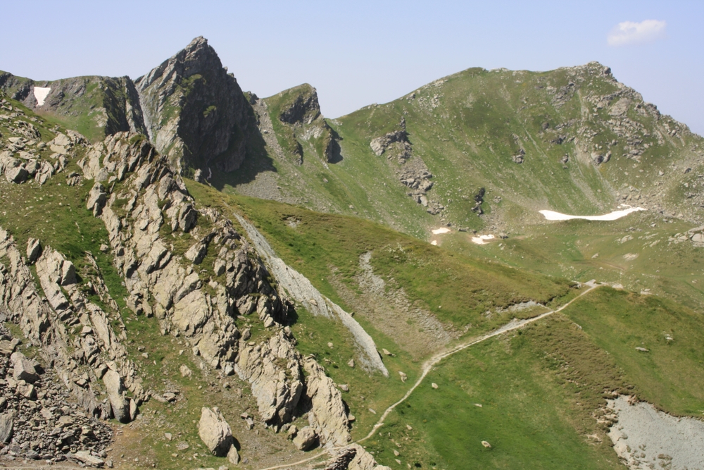
Gjeravica (2,656 m) is the highest peak in Kosovo, located in the Accursed Mountains. This scenic hike takes you through alpine meadows, glacial lakes, and rugged terrain, offering spectacular views along the way. Despite its elevation, the trail is non-technical, making it…
- PlaceMontenegro
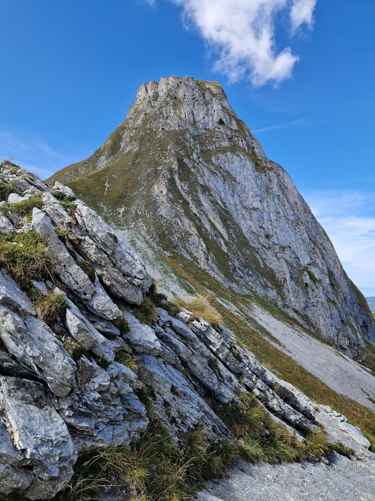
Zla Kolata (2,534 m) is the highest peak in Montenegro but is often climbed from the Albanian side. Located in the Accursed Mountains, it offers a remote and challenging hike through alpine meadows, rocky ridges, and steep ascents. The peak provides breathtaking panoramic views…
- PlaceSlovenia
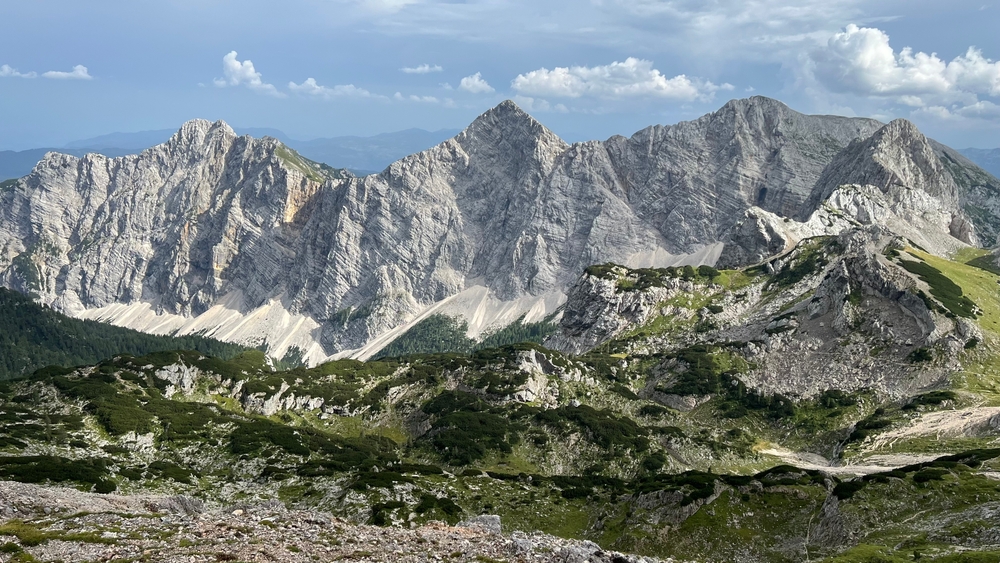
Slovenia’s iconic peak and national symbol, Triglav towers over the Julian Alps inside Triglav National Park. It's a must-do for Slovenians and adventurers alike. The summit offers sweeping alpine views and a deep sense of history. You’ll often spot the Aljaž Tower at the top—a…
- PlaceCroatia
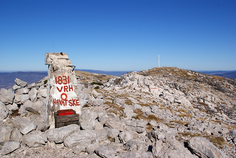
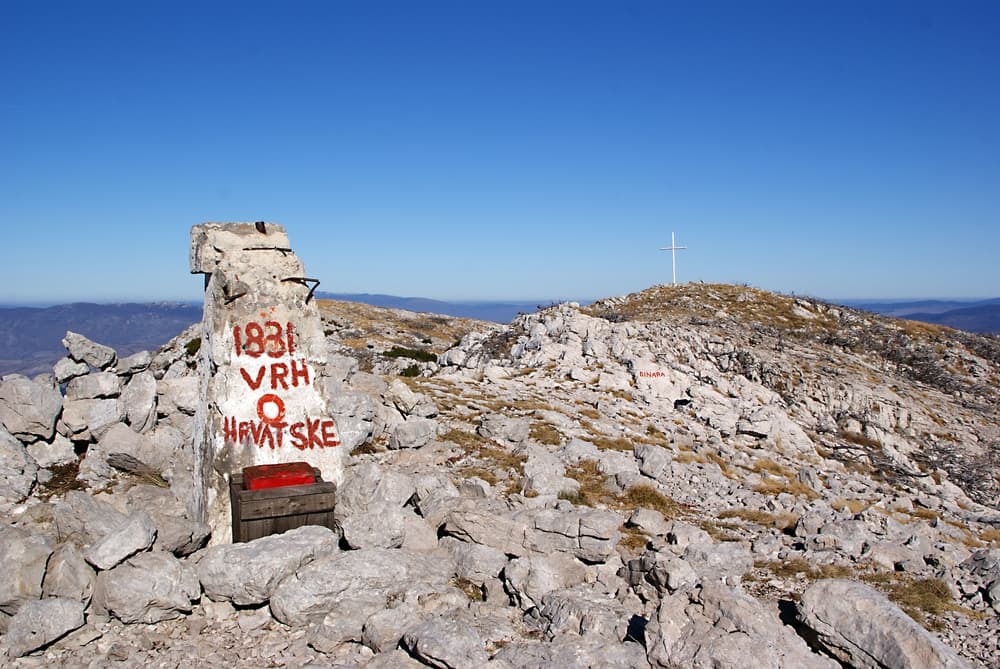
Dinara is Croatia’s highest peak, sitting right on the border with Bosnia. It’s part of the rugged Dinaric Alps and known for wide limestone slopes, karst formations, and panoramic views over Dalmatia. Unlike Triglav, it’s less technical, offering solitude and a peaceful summit…
- PlaceBosnia and Herzegovina
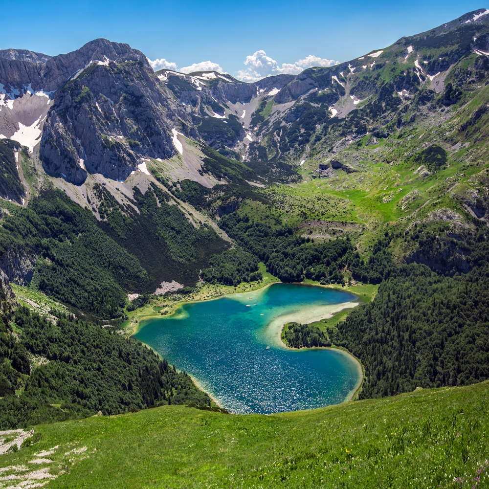
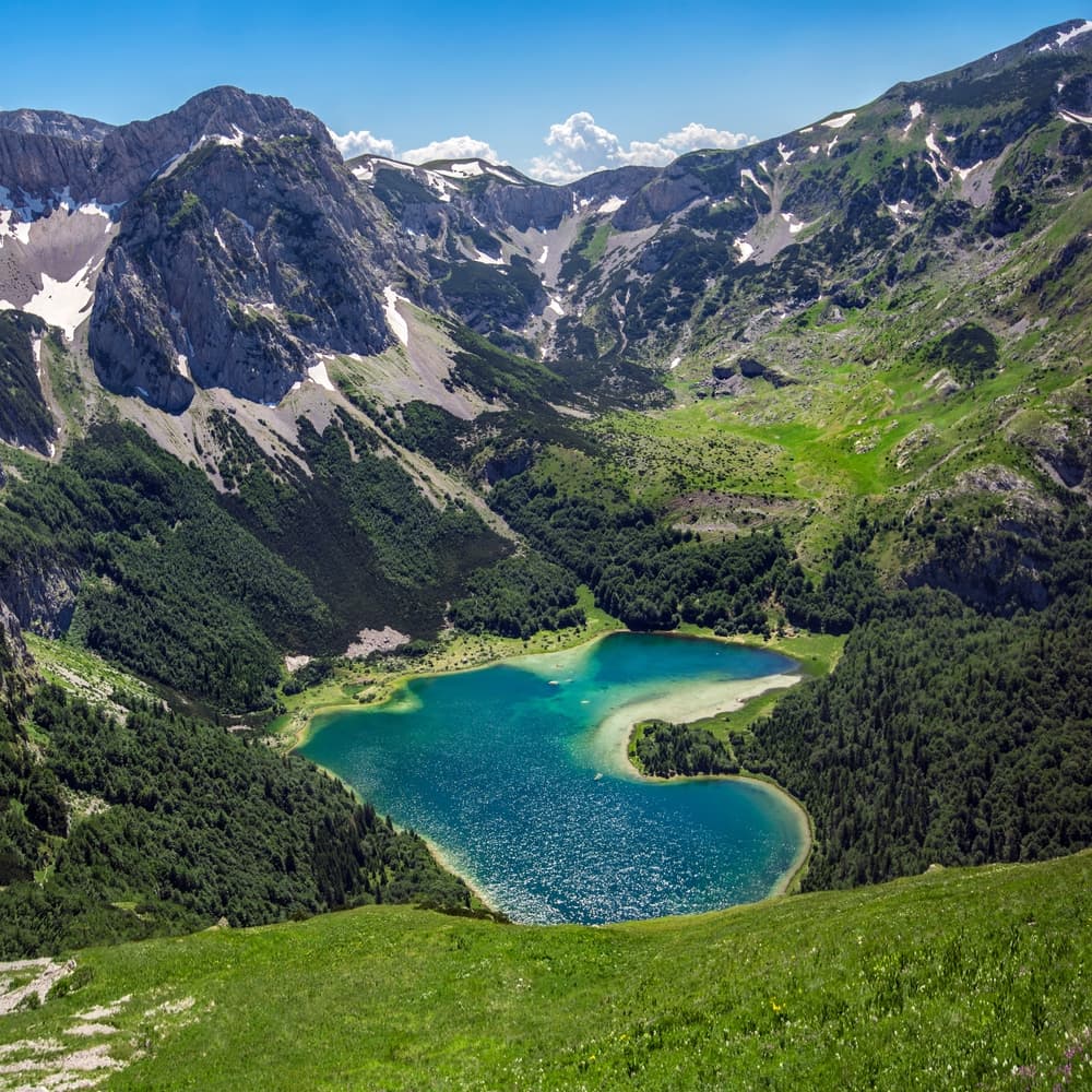
The highest point in Bosnia and Herzegovina, Maglić lies in Sutjeska National Park near the Montenegrin border. It’s a dramatic, rugged peak surrounded by glacial lakes and ancient forests, offering one of the wildest highpoint experiences in the Balkans.
- PlaceSerbia
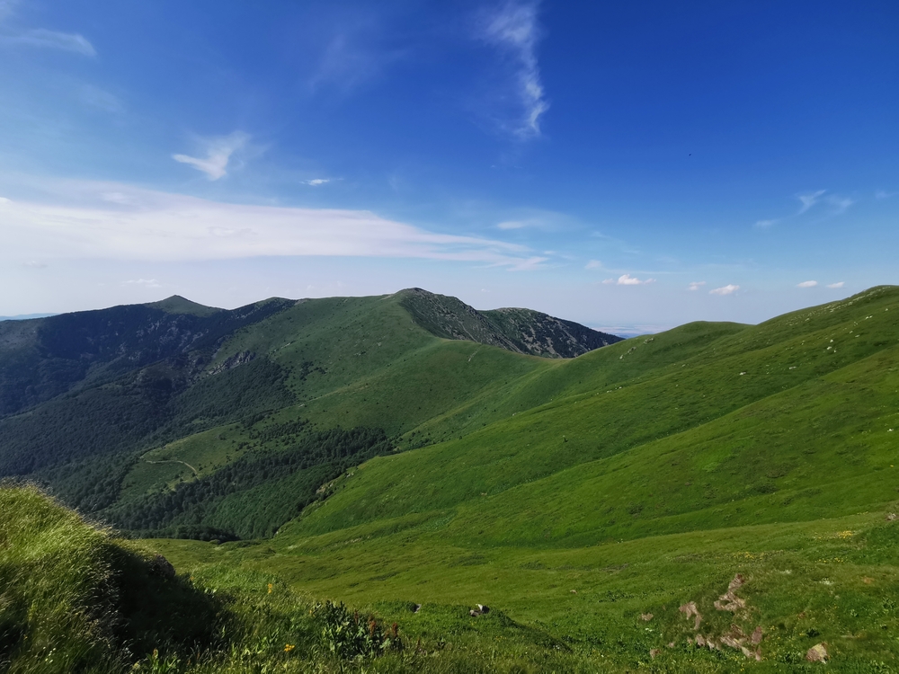
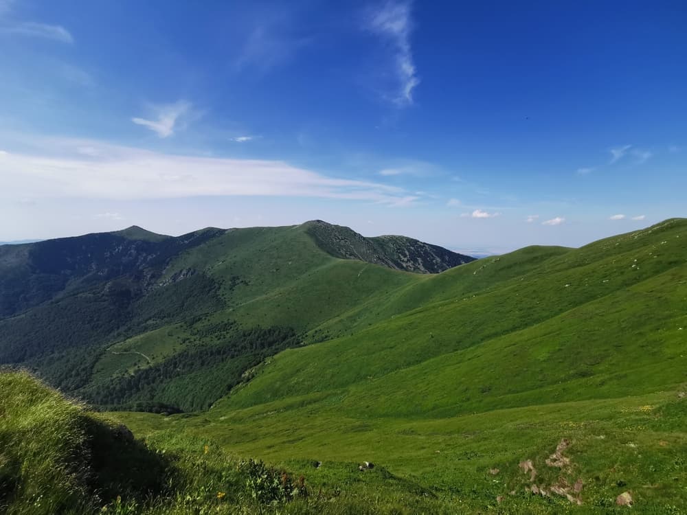
Midžor lies in the Balkan Mountains along the Serbia-Bulgaria border. It’s Serbia’s highest point and one of the most accessible in the challenge. The surrounding landscape is vast, with open ridgelines, meadows, and gentle terrain. It’s perfect for a scenic and less strenuous…
- PlaceAlbania & North Macedonia
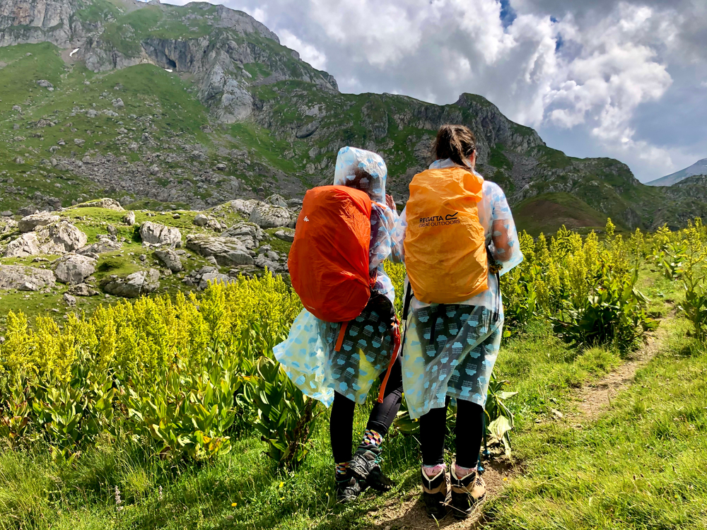
Korab is the shared highpoint of both North Macedonia and Albania. It’s the highest summit in both countries, rising from dramatic slopes with deep valleys on either side. The massif is remote, wild, and known for its alpine character and borderland feel.
- PlaceGreece
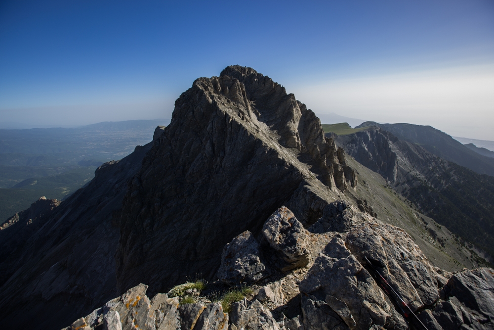
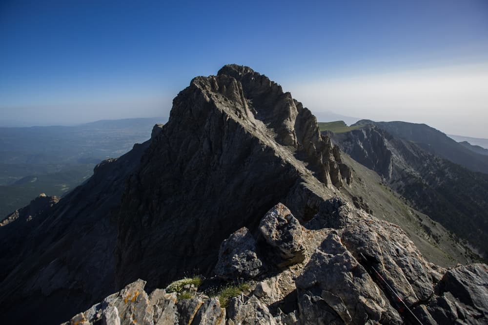
The mythical home of the Greek gods, Mount Olympus is Greece’s highest mountain. Mytikas, its summit, is a dramatic spire accessible via a classic alpine route. The peak draws hikers, climbers, and mythology lovers alike for its history, rugged beauty, and sweeping Aegean views.
- PlaceBulgaria
.jpg)
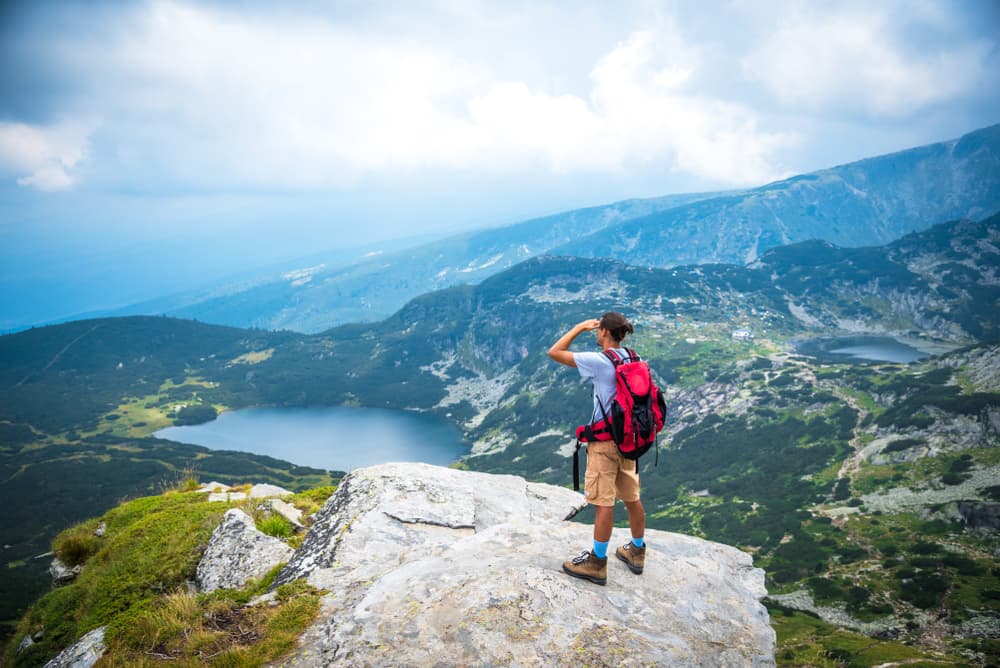
Musala, the highest peak in the entire Balkans, towers over Bulgaria’s Rila Mountains. It’s a popular summit for hikers due to its accessibility via the Rila Monastery area. The peak offers views over the surrounding valleys and distant lakes, making it one of the most rewarding…
- PlaceRomania
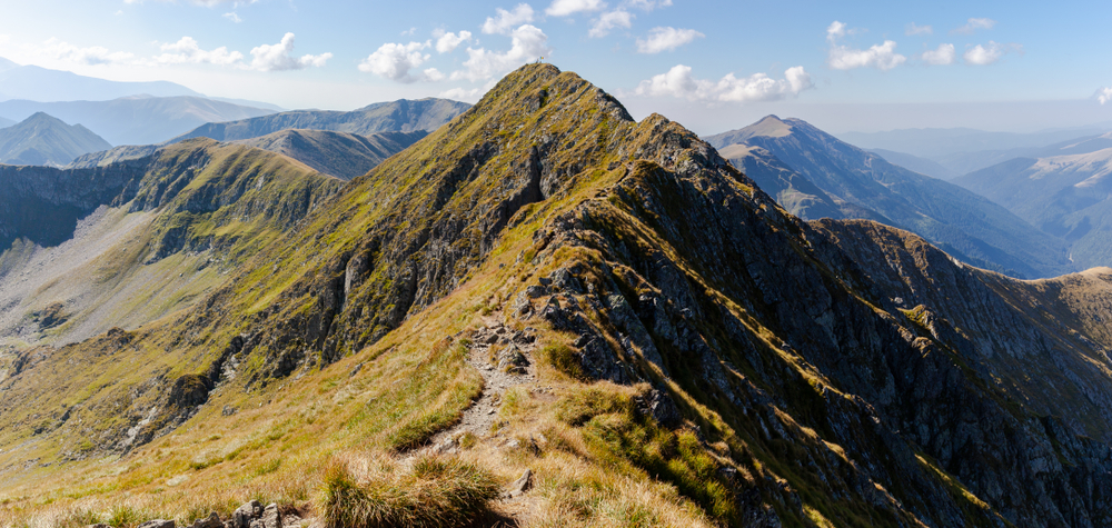
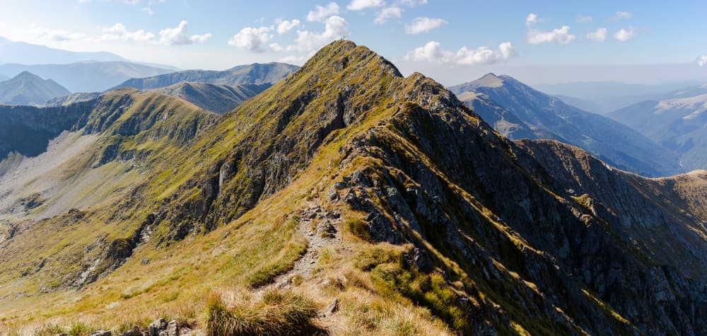
The highest point in Romania, Moldoveanu rises in the Southern Carpathians, offering challenging ascents through dense forests and rocky terrain. The peak is celebrated for its dramatic landscape and alpine lakes nestled in the valleys below.
You can explore the itinerary while it loads.
Pins show individual places; there is no route between them. Select a pin to read its place in the itinerary.
Overview
The Balkans Highpoint Challenge invites adventurers to summit the highest peak in each country, offering an unforgettable journey through wild landscapes and rich cultural regions. Covering around 180–220 kilometers in total, this challenge features 12 iconic summits: Triglav (Slovenia), Dinara (Croatia), Maglić (Bosnia and Herzegovina), Zla Kolata (Montenegro), Midžor (Serbia), Đeravica (Kosovo), Korab (North Macedonia and Albania), Mytikas on Mount Olympus (Greece), Musala (Bulgaria), and Moldoveanu (Romania). The route leads hikers across diverse terrain, from sharp alpine ridges and rugged karst plateaus to mythical peaks and untouched valleys. Each climb presents its own challenges, ranging from straightforward hikes to technical alpine ascents. The best season for this adventure is between June and September, when conditions are most favorable for high-mountain travel. Beyond the physical achievement, the Balkans Highpoint Challenge offers a deep connection to the region’s wild beauty, traditions, and hospitality.
Statistics and Elevation Profile
The total distance of the Balkans Highpoint Challenge varies depending on route choices but generally falls between 180 and 220 kilometers. It includes over 20,000 meters of elevation gain and descent across 10 countries and 12 summit ascents. The challenge typically takes 4 to 6 weeks, including rest and travel days between countries. Most hikers tackle it in a north-to-south or south-to-north direction. Elevation Gain: Around 20,000 m (65,600 ft) Highest Summit: Musala, Bulgaria (2,925 m / 9,596 ft) Most Remote Summit: Zla Kolata, Montenegro (2,534 m / 8,314 ft) This is not a continuous trail like the Via Dinarica or Via Alpina. Travel logistics between peaks, border crossings, and time spent in remote areas all shape the experience.
Highlights and Landmarks
Each peak delivers something different. Triglav offers thrilling via ferrata routes. Maglić rewards hikers with views over glacial Trnovačko Lake. Mount Olympus combines Greek mythology and alpine exposure. Korab straddles two nations and is often climbed during shepherd festivals. Đeravica is Kosovo’s rooftop, best reached with local guidance. Musala, the highest in the Balkans, offers panoramic views from a well-maintained trail near Borovets. Moldoveanu in Romania involves a dramatic ridge route and is the highest point in the Carpathians. Peaks like Midžor and Dinara are ideal for less technical hikers, while Zla Kolata remains wild and seldom visited.
Culture and History
The route crosses a complex patchwork of cultures, languages, and histories. Triglav is a national icon for Slovenians. Olympus is a sacred peak tied to mythology. Korab is a symbol of pastoral heritage. On the journey, you’ll meet shepherds, pass monasteries, and stay in villages where traditions remain vibrant. From rakija to mountain cheese, the experience is as much cultural as it is physical. The region has seen centuries of border changes and conflict. Many peaks lie near or on national borders, making them symbolic as well as geographical high points. Be aware of local sensitivities and follow current travel guidelines when moving between countries.
Geology
Expect a wide variety of landscapes. Triglav and the Julian Alps feature sharp limestone ridges and karst formations. Dinara and Maglić offer rugged, arid terrain shaped by wind and water. Olympus is an isolated massif with sweeping views over the Aegean. Korab and Đeravica rise from high meadows into steep scree and rocky outcrops. Moldoveanu belongs to the Făgăraș Mountains, known for dramatic arêtes and glacial valleys. Geologically, much of the terrain is sedimentary rock, with areas of metamorphic and volcanic origin. The Dinaric Alps and Carpathians dominate the northern arc, while the Šar Mountains and Pindus range define the southern highlands. The result is a striking contrast between alpine and Mediterranean environments.
Essential Gear
You’ll need versatile equipment suitable for alpine hiking, mixed terrain, and rapidly changing weather. Lightweight mountaineering boots are essential for peaks like Triglav, Olympus, and Moldoveanu, which involve scrambling or exposed trails. Hiking poles help on long ascents and loose descents. A GPS device with offline maps is recommended for navigation, especially in foggy or less-marked areas like Korab and Đeravica. Clothing should cover a range of temperatures. A layering system with moisture-wicking base layers, a fleece or insulated jacket, and a waterproof shell will handle most conditions. Sun protection is key at high altitudes. Carry at least 2 liters of water and a purification method. Most hikers bring a stove or cold meals for remote summits where food may not be available. A lightweight sleeping bag and bivy or tent can be useful, though accommodation is possible near most peaks.
Accommodation
Accommodation varies from alpine huts and mountain hotels to local guesthouses and wild camping. In Slovenia, Greece, and Bulgaria, well-developed hut systems serve peaks like Triglav, Olympus, and Musala. Elsewhere, especially on Korab, Đeravica, and Zla Kolata, wild camping or rustic lodging may be the only option. Transport between trailheads is not always straightforward. Some summits are several hours from the nearest town or public transit. Hiring local taxis or arranging rides with guesthouses is common. For example, Korab requires 4x4 access to the trailhead. Triglav and Olympus are accessible by bus and cable car. Romania’s Moldoveanu usually involves a transfer from Brașov or Sibiu to Sâmbăta de Jos or Victoria. Plan ahead for border crossings. While many countries are in the Schengen Zone, some are not. Carry your passport at all times and check entry rules if crossing into Serbia, Kosovo, or Bosnia and Herzegovina.
Food and Water
In populated areas, local cuisine is a highlight of the journey. Mountain villages offer hearty stews, grilled vegetables, flatbreads, and homemade cheeses. Shops and bakeries are common in towns near Triglav, Musala, and Olympus. In remote areas like Zla Kolata or Đeravica, bring your own provisions. Water sources include natural springs, village taps, and mountain shelters. Treat all water unless marked as potable. In summer, some sources dry up. Always ask locals or check online hiking forums for current water availability before setting off.
Navigation
Some routes are well-marked, while others rely on local knowledge or GPS navigation. Triglav, Musala, and Olympus have painted trail signs, maps at junctions, and well-worn paths. Moldoveanu and Korab may have confusing side trails and few signs, especially near the summits. A combination of tools is best: topographic maps, offline GPS apps like Gaia or Maps.me, and paper backups. Talk to locals or guides before attempting less-frequented routes.
Safety and Risk Management
The Balkans Highpoint Challenge is physically demanding and often remote. Weather changes fast in the mountains. Thunderstorms, fog, and snow can occur even in summer. Avoid afternoon ascents on exposed ridges and carry warm layers at all times. Some summits involve scrambling or steep terrain, especially Moldoveanu, Triglav, and Olympus. A helmet may be useful in case of rockfall. Trekking poles help on scree or loose sections. Phone signal can be limited. Consider carrying a satellite beacon for solo treks. Wild animals, including bears, live in parts of the Carpathians and Dinaric Alps, but encounters are rare.
Permits and Fees
Most peaks do not require permits for hiking. However, some border zones, like those near Zla Kolata or Korab, may require advance notification or travel documents. Always carry your ID or passport. Check current travel advisories and local regulations before setting out, particularly for Kosovo and Bosnia and Herzegovina, where requirements may change. In national parks such as Triglav or Rila, entry is free but camping may be regulated. Use designated sites where required.
10 Highest Balkans Peaks: common questions
How long is 10 Highest Balkans Peaks?
10 Highest Balkans Peaks covers 200 km in total.
How long does 10 Highest Balkans Peaks take to complete?
Most people complete 10 Highest Balkans Peaks in about 1-5 months.
When is the best time to do 10 Highest Balkans Peaks?
The best season for 10 Highest Balkans Peaks is Summer.
How many checkpoints does 10 Highest Balkans Peaks have?
10 Highest Balkans Peaks has 10 checkpoints to log on the way to finishing it.
Plan your journey.
Keep this journey for later, or share it with someone you would like to go with.