Wyld Quest logo
Wyld Quest logo
Wyld Quest logo

Walk Your Way

HomeChallengesOur MissionBlogsRewyld for GuidesForest Bathing
hello@wyld.questShare FeedbackBuy us a Coffee
powered byNaturate

© 2026 Wyld Quest. All rights reserved.

Formerly WyldWalk

Terms & Condition|Privacy policy|Sitemap
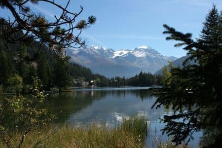
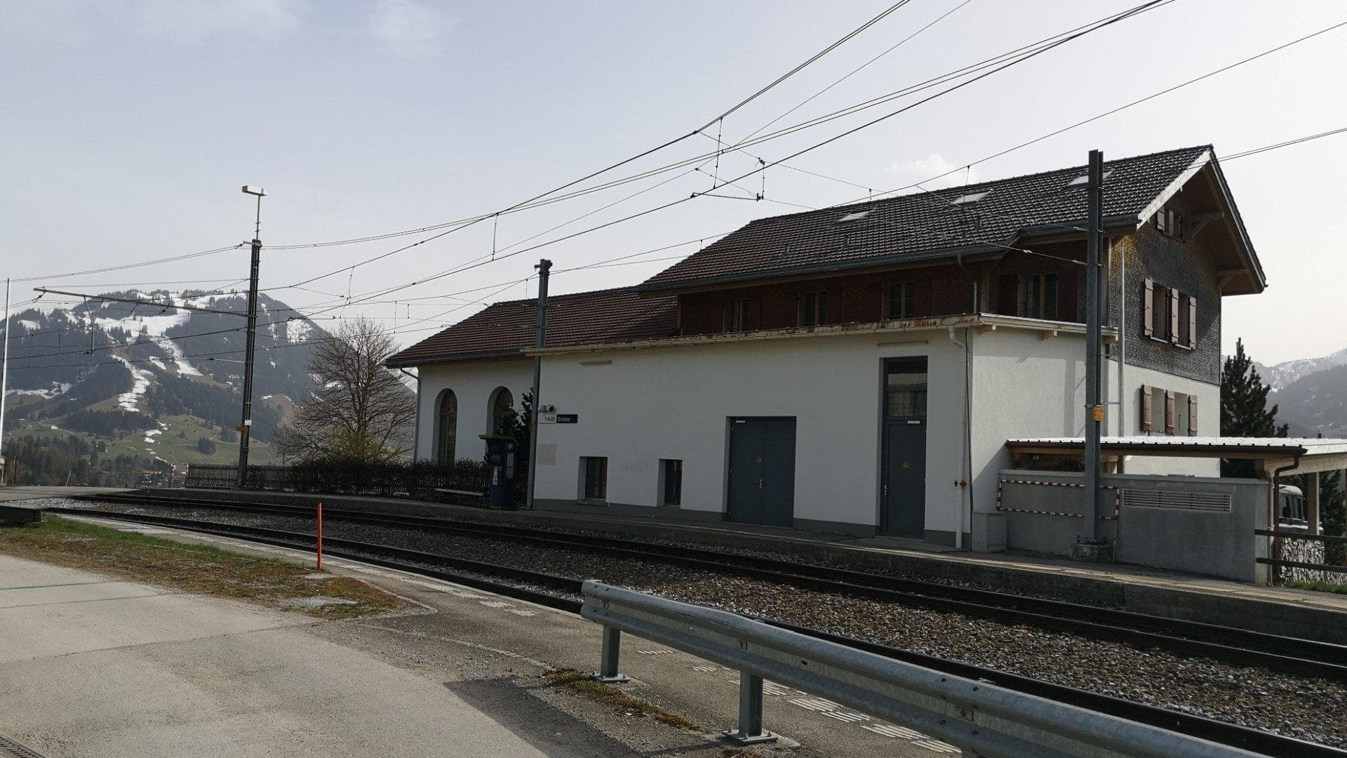
Haute Route (Chamonix–Zermatt) — stop photo 1
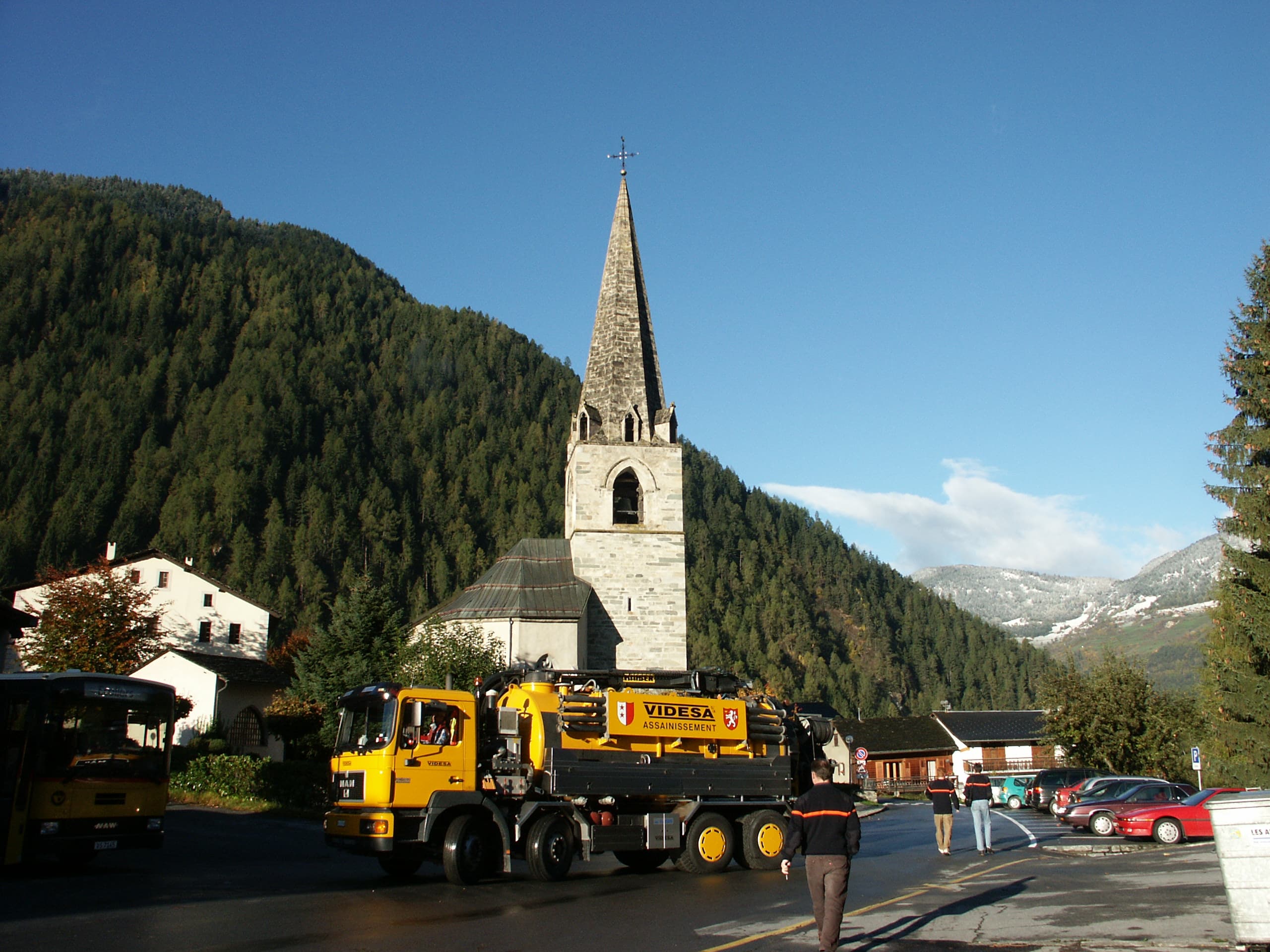
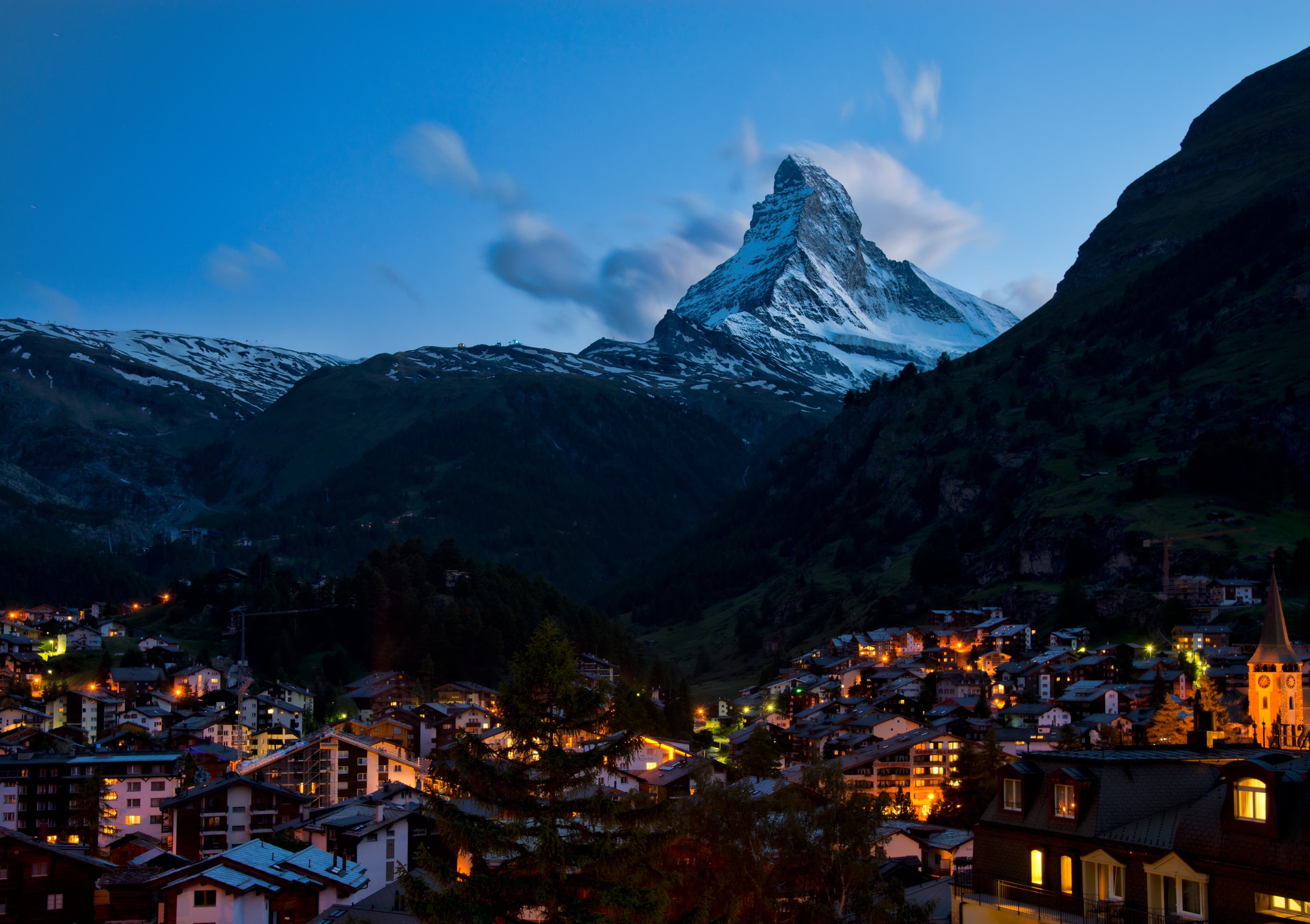
Haute Route (Chamonix–Zermatt) — stop photo 2
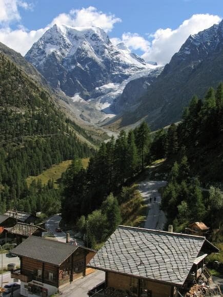
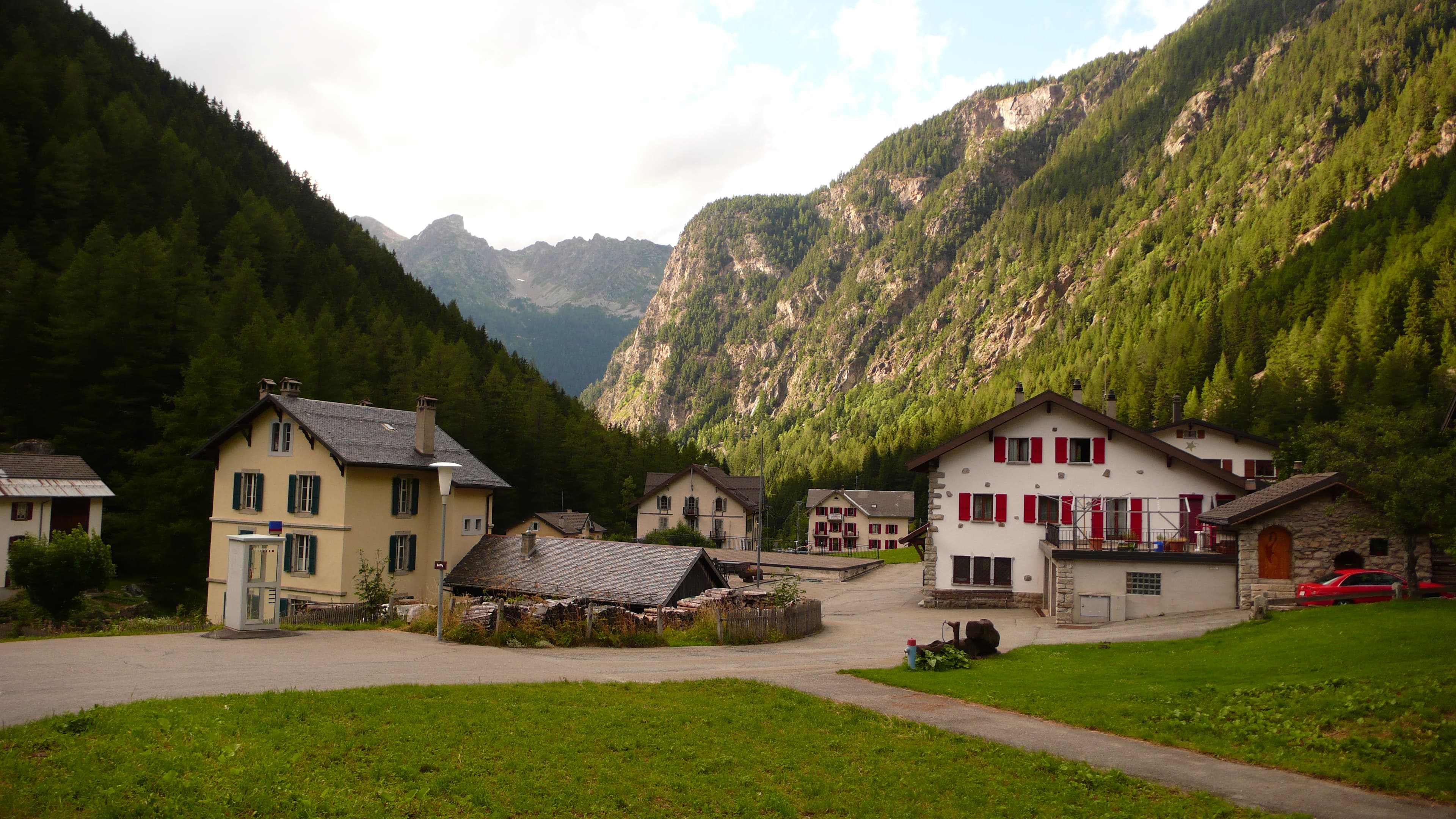
Haute Route (Chamonix–Zermatt) — stop photo 3
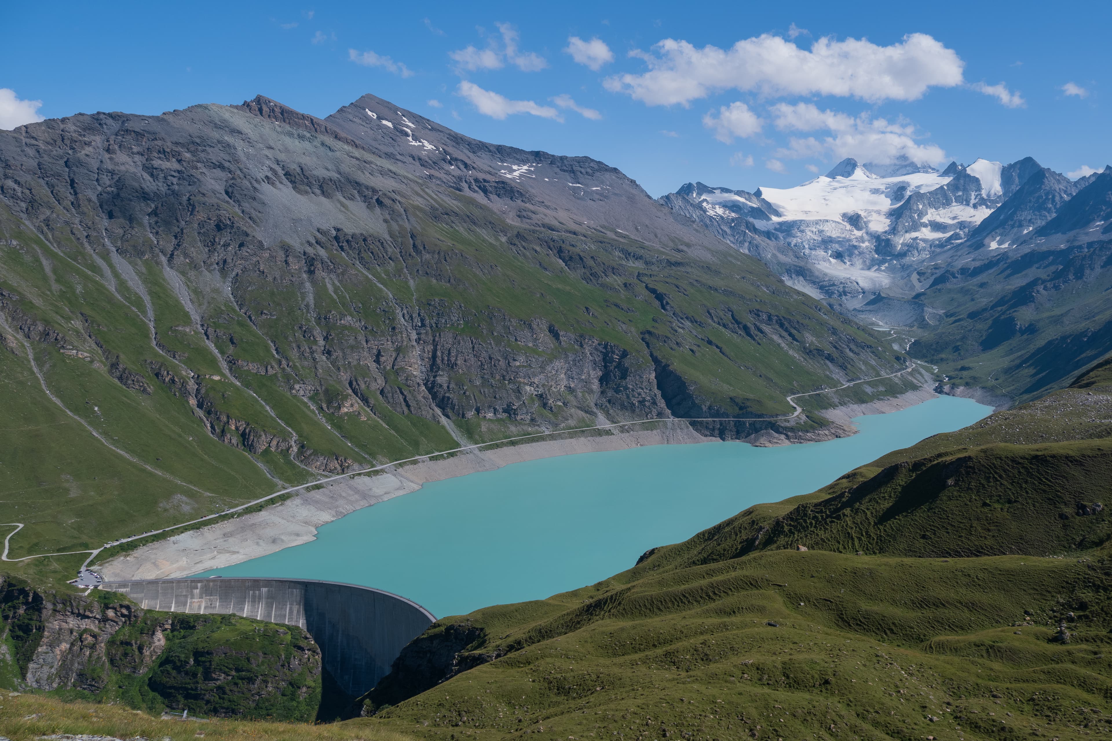
Haute Route (Chamonix–Zermatt) — stop photo 4

Challenge

Haute Route (Chamonix–Zermatt)

France & Switzerland

Haute Route (Chamonix–Zermatt) — stop photo 1
Haute Route (Chamonix–Zermatt) — stop photo 2
Haute Route (Chamonix–Zermatt) — stop photo 3
Haute Route (Chamonix–Zermatt) — stop photo 4
Haute Route (Chamonix–Zermatt) — stop photo 5
Loading map, progress, and trail-guide tools...

About this challenge

The Haute Route from Chamonix to Zermatt ranks among the world's most spectacular alpine hiking trails, covering 200 kilometers through the heart of the Swiss and French Alps. This legendary 10-14 day trek connects Mont Blanc and the Matterhorn while crossing eleven mountain passes with 15,200 meters of elevation gain. Hikers stay in traditional mountain refuges serving authentic alpine cuisine while traversing pristine glacial valleys, alpine meadows, and dramatic high-altitude terrain.

Quick facts

Checkpoints
10
Distance
112 miles
Avg Completion
2-3
Best Season
Summer
Loading map, progress, and trail-guide tools...
Rewyld app

by Rewyld

A mindful companion app for your hikes.

Rewyld guides a five-minute walking meditation as you hike, so you slow down and stay present, then it steps out of the way. Take it on any trail.

Try Rewyld freeiOS & Android

Featured checkpoints

Chamonix to Trient

Chamonix to Trient

Chamonix-Mont-Blanc, Haute-Savoie, France

23
Trient to Champex-Lac

Trient to Champex-Lac

Trient, Valais, Switzerland

15 km
Champex-Lac to Le Châble

Champex-Lac to Le Châble

Champex-Lac, Valais, Switzerland

13 km
Le Châble to Cabane du Mont Fort

Le Châble to Cabane du Mont Fort

Le Châble, Valais, Switzerland

13 km

Cabane du Mont Fort to Cabane Prafleuri

Sarreyer, Valais, Switzerland

15
Cabane de Prafleuri to Arolla

Cabane de Prafleuri to Arolla

Hérémence, Valais, Switzerland

Haute Route (Chamonix–Zermatt): common questions

How long is Haute Route (Chamonix–Zermatt)?

Haute Route (Chamonix–Zermatt) covers 112 miles in total.

How long does Haute Route (Chamonix–Zermatt) take to complete?

Most people complete Haute Route (Chamonix–Zermatt) in about 2-3.

When is the best time to do Haute Route (Chamonix–Zermatt)?

The best season for Haute Route (Chamonix–Zermatt) is Summer.

How many checkpoints does Haute Route (Chamonix–Zermatt) have?

Haute Route (Chamonix–Zermatt) has 10 checkpoints to log on the way to finishing it.