

Challenge
Haute Route (Chamonix–Zermatt)
France & Switzerland

About this challenge
The Haute Route from Chamonix to Zermatt ranks among the world's most spectacular alpine hiking trails, covering 200 kilometers through the heart of the Swiss and French Alps. This legendary 10-14 day trek connects Mont Blanc and the Matterhorn while crossing eleven mountain passes with 15,200 meters of elevation gain. Hikers stay in traditional mountain refuges serving authentic alpine cuisine while traversing pristine glacial valleys, alpine meadows, and dramatic high-altitude terrain.
Quick facts
- Checkpoints
- 10
- Distance
- 112 miles
- Avg Completion
- 2-3
- Best Season
- Summer
Overview
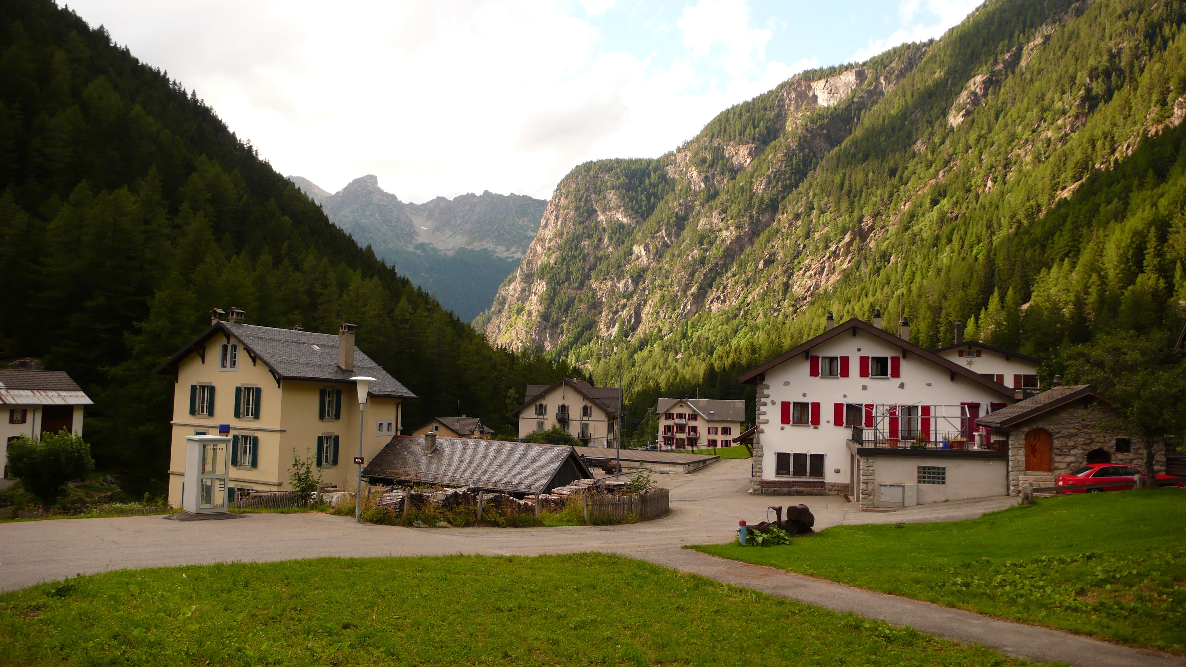
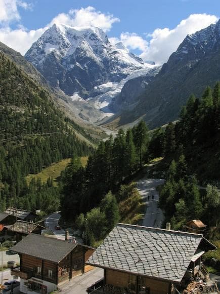
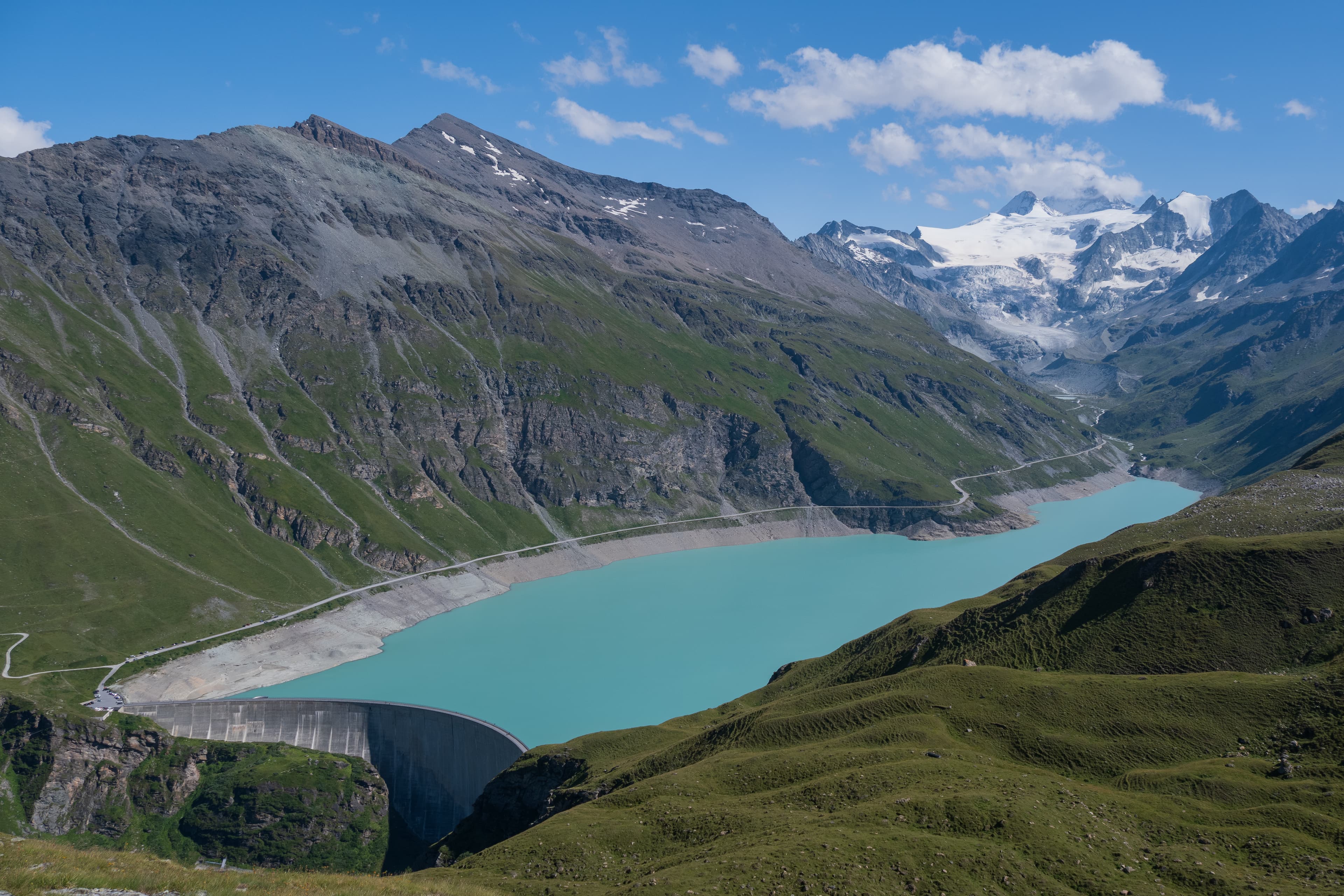
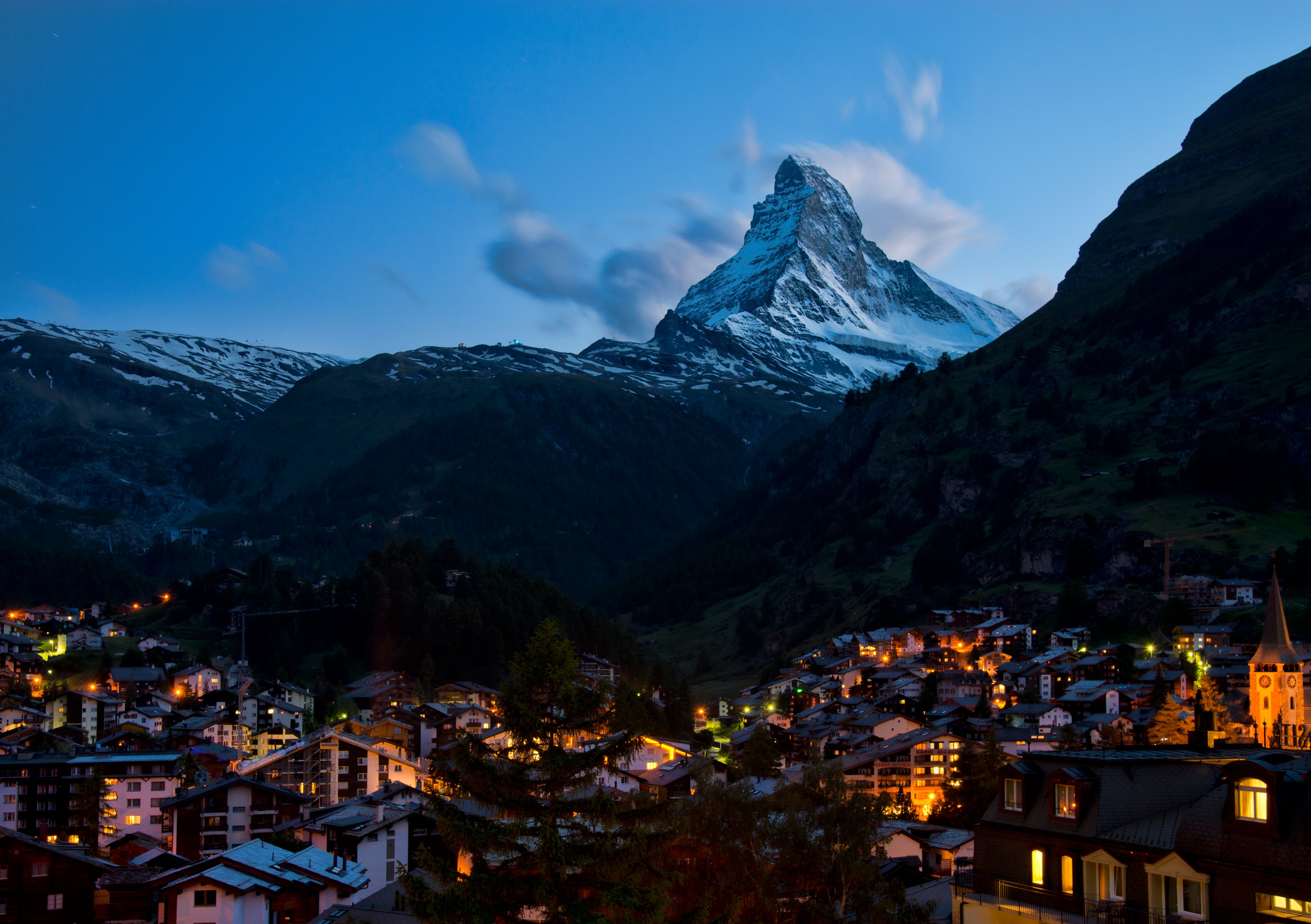
The Walker's Haute Route stretches approximately 200 kilometers (125 miles) from Chamonix, France to Zermatt, Switzerland, following one of Europe's most spectacular high-altitude walking routes through the heart of the Alps. This legendary trek connects two of the world's most famous mountain towns while crossing eleven major passes and accumulating around 15,200 meters (50,000 feet) of total vertical elevation gain and loss. Most hikers complete the route in 10-14 days, typically covering 14-20 kilometers daily depending on weather conditions and chosen route variations. The trail starts at approximately 1,000 meters in Chamonix at the base of Mont Blanc and reaches its highest point at the Fenêtre d'Arpette at 2,665 meters before descending into Zermatt at 1,608 meters beneath the iconic Matterhorn. The route showcases the grandest peaks in the Alps including Mont Blanc, the Matterhorn, and the Eiger while traversing pristine glacial valleys, alpine meadows, and dramatic mountain passes.
Culture
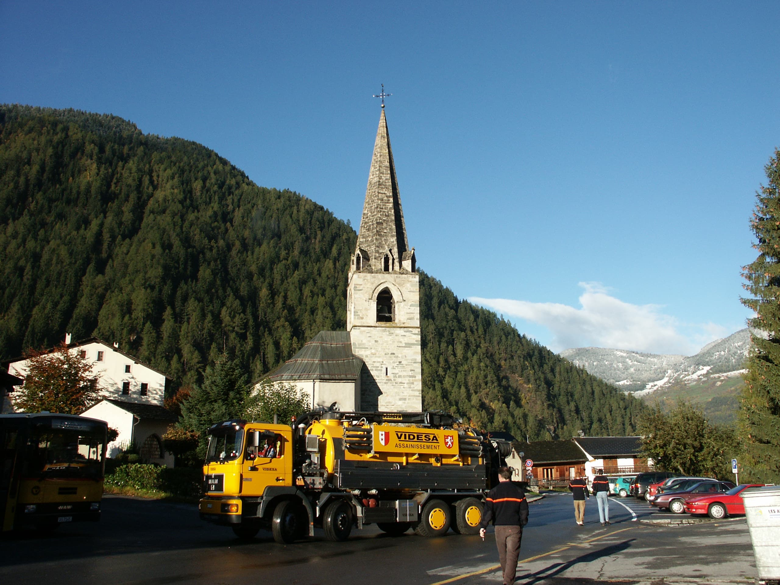
The Haute Route originated in the late 19th century as a high-level mountaineering route connecting Chamonix and Zermatt via glaciated terrain, requiring ropes, crampons, and extensive mountaineering skills. The original glacial route, known as the "Mountaineer's Haute Route," followed a more direct path across glaciers and required technical climbing expertise that limited access to experienced alpinists. The Walker's Haute Route developed throughout the 20th century as trail builders identified safer pathways that avoided glaciated terrain while maintaining spectacular mountain scenery. This non-technical version opened the route to experienced hikers without requiring mountaineering equipment, though it still demands excellent physical fitness and mountain experience due to high-altitude conditions and exposed terrain. The route traverses the collision zone where the African and European continental plates created the Alpine mountain system over millions of years. The geological diversity includes ancient crystalline rocks, limestone formations, and metamorphic complexes that support diverse alpine ecosystems.
Security
The Haute Route combines classic alpine scenery with cultural immersion, moving from French to Swiss landscapes on foot. The trek features a dramatic mix of glaciers, 3,000 m passes, green meadows, and historic villages, offering the most complete alpine experience in Europe. Every stage brings a new challenge—steep climbs, snowy passes, and long descents balanced by alpine lakes, cheese dairies, and remote huts. The route blends demanding physical effort with rewarding scenery and cultural encounters, making it a true European classic. Conditions in the Alps change quickly. Snowfields can remain late into summer, and storms can move in without warning. Proper equipment includes sturdy boots, waterproof clothing, trekking poles, and navigation tools. Some sections require secure footing on rocky or exposed trails. Acclimatization is important, as multiple passes exceed 2,500–3,000 m. Always check weather forecasts and be prepared for alpine hazards.
Accommodation
The Haute Route is supported by Swiss and French mountain huts, gîtes, and small hotels, offering food and beds for trekkers. Wild camping is limited and often restricted. Most hikers carry snacks and lightweight meals between villages, where resupply is possible. Popular foods include bread, cheese, cured meats, chocolate, and energy-rich trail snacks. Clean water is available in villages and from alpine streams (purification recommended). The Haute Route requires no special permits for hiking, though some sections cross national park boundaries with specific regulations. Travel insurance with mountain rescue coverage is highly recommended and sometimes mandatory for refuge stays. The optimal hiking season runs from mid-July through mid-September when high passes remain snow-free and mountain weather provides the most stable conditions for safe passage.
Featured checkpoints
Chamonix to Trient
Chamonix-Mont-Blanc, Haute-Savoie, France
Trient to Champex-Lac
Trient, Valais, Switzerland
Champex-Lac to Le Châble
Champex-Lac, Valais, Switzerland
Le Châble to Cabane du Mont Fort
Le Châble, Valais, Switzerland
Cabane du Mont Fort to Cabane Prafleuri
Sarreyer, Valais, Switzerland
Cabane de Prafleuri to Arolla
Hérémence, Valais, Switzerland
All stops on this route
Haute Route (Chamonix–Zermatt): common questions
How long is Haute Route (Chamonix–Zermatt)?
Haute Route (Chamonix–Zermatt) covers 112 miles in total.
How long does Haute Route (Chamonix–Zermatt) take to complete?
Most people complete Haute Route (Chamonix–Zermatt) in about 2-3.
When is the best time to do Haute Route (Chamonix–Zermatt)?
The best season for Haute Route (Chamonix–Zermatt) is Summer.
How many checkpoints does Haute Route (Chamonix–Zermatt) have?
Haute Route (Chamonix–Zermatt) has 10 checkpoints to log on the way to finishing it.