
Salkantay Trek to Machu Picchu
Regional, Cusco, Cusco, Peru
About this journey
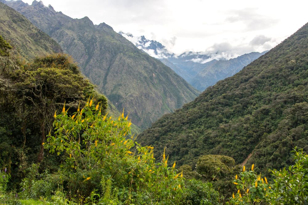
Salkantay is a high-Andes approach to Machu Picchu with several established route variants. Wyld Quest groups those variants here: they begin around the Cusco–Mollepata/Soraypampa corridor, cross the Salkantay high country, then descend toward lower valleys and the Machu Picchu approach. Distance, overnight stops and the final approach vary by route, so use the route variants below rather than treating one distance as universal.
Quick facts
- stops
- 12located
- shape
- crossing
- high point
- 15,190ft
- total distance
- not yet measured
- best season
- Summer, Spring, Fall
- days
- not yet measured
Loading your progress…
Map and itinerary
- Stop 01Cusco Region, Peru
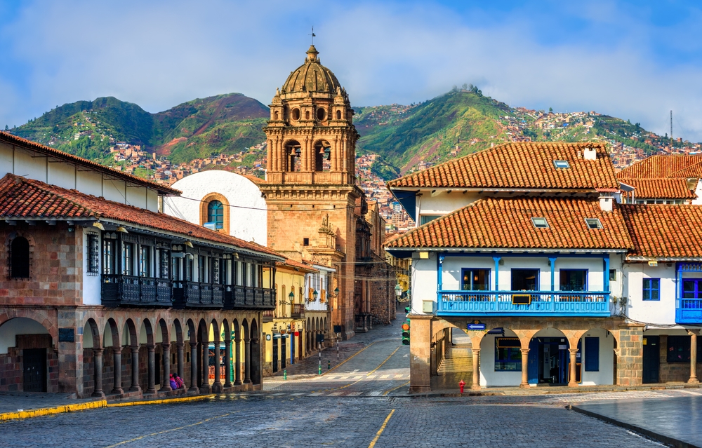
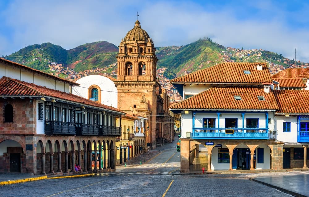
Historic city and starting point of the trek. At an altitude of 11,155 ft, Cusco offers a mix of culture, history, and natural beauty. This easy 10-mile walk through the city takes around 2-3 hours and is perfect for acclimatization, with beautiful colonial architecture and Inca…
- Stop 02Cusco Region, Peru
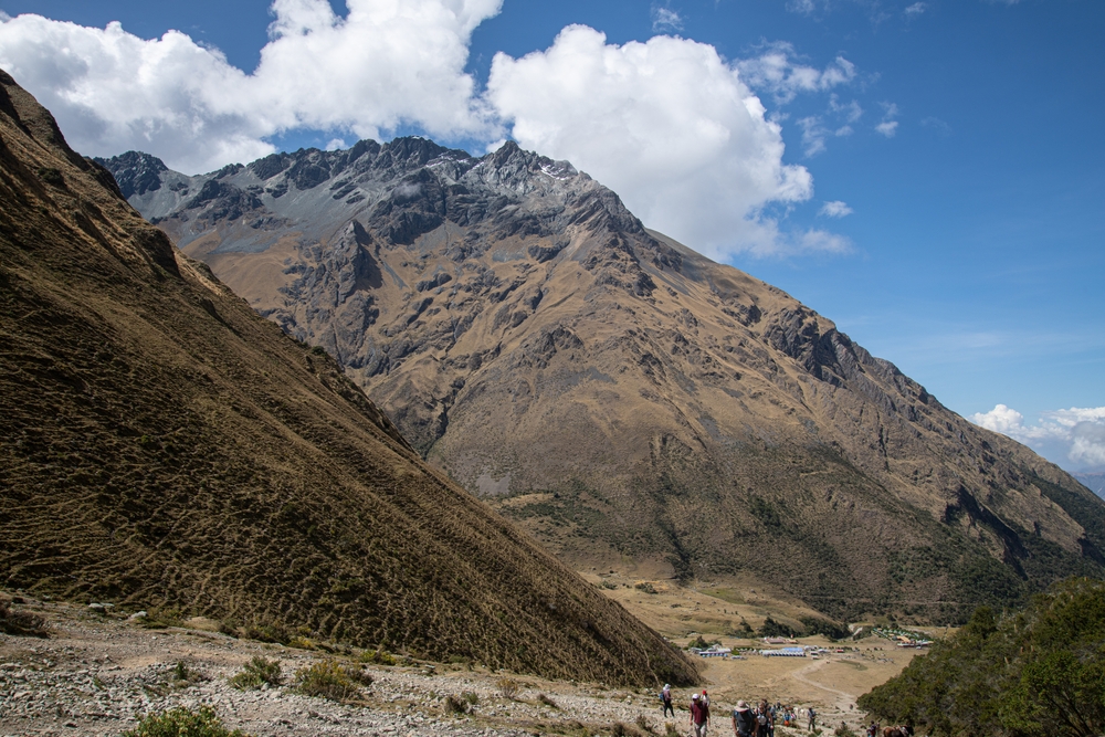
Drive to the starting point of the hiking trail. Situated at 9,350 ft, Mollepata is easily accessible by a 2-hour drive from Cusco. From here, you'll enjoy spectacular views of the surrounding mountains. It’s a great starting point for the Salkantay Trek, offering access to local…
- Stop 03Cusco Region, Peru
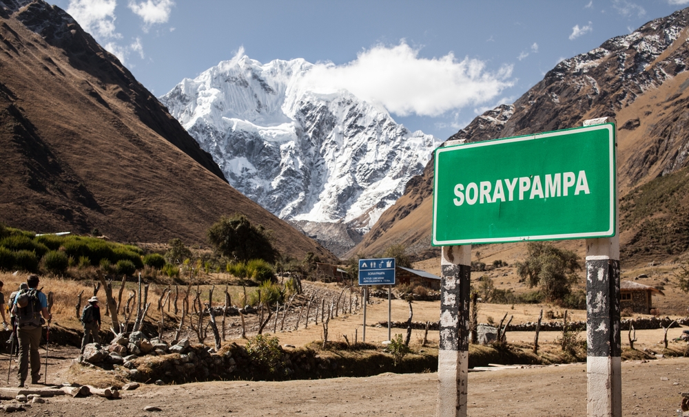
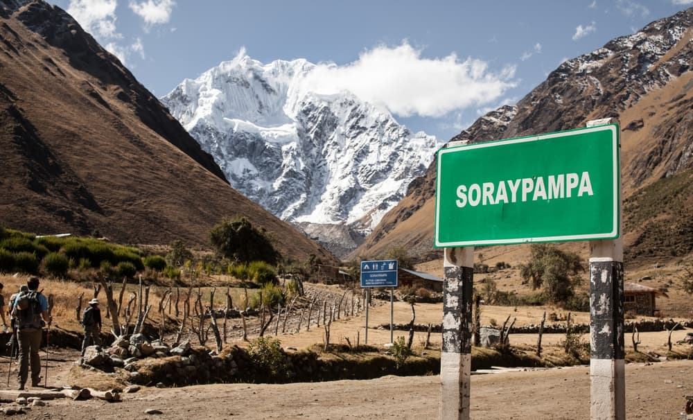
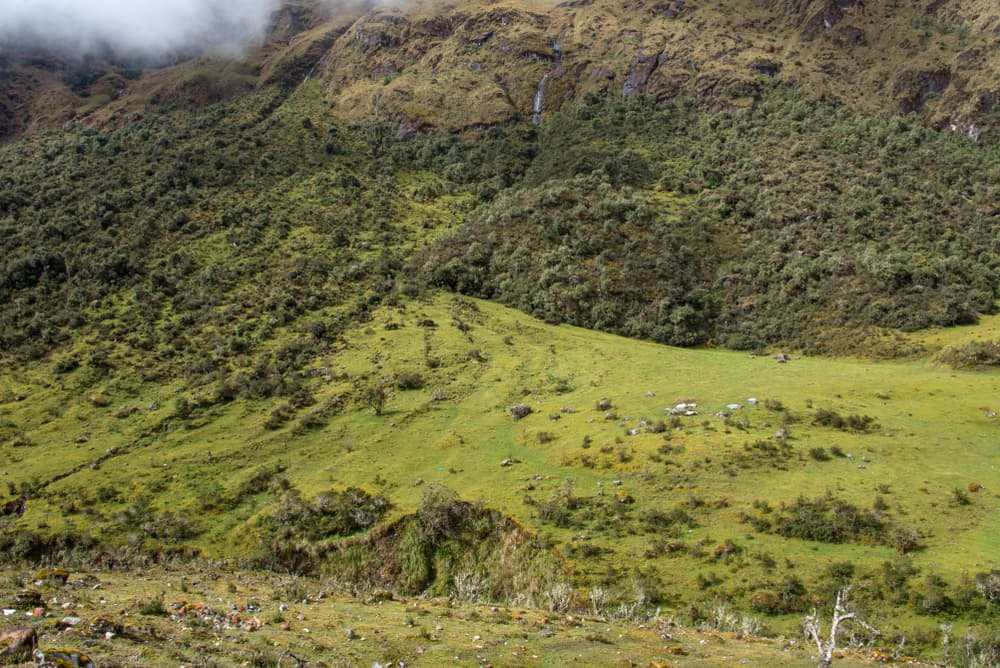
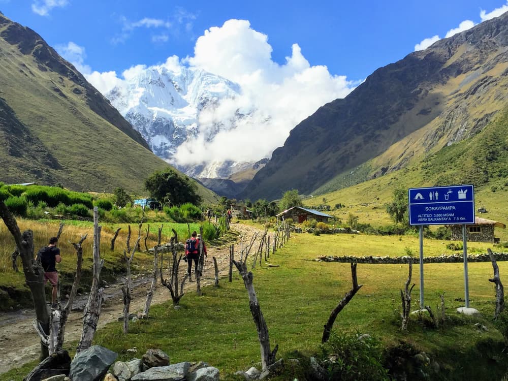
Basecamp with stunning mountain views. Ideal for acclimatization, the area provides panoramic views of the surrounding mountains and lush landscapes, making it a peaceful stop for trekkers on the Salkantay route. Soraypampa is a scenic high-altitude valley (3,900 m / 12,795 ft)…
- Stop 04Cusco Region, Peru
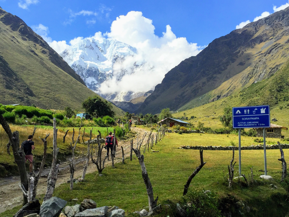
Starting hiking trail towards Soraypampa. This 7.5-mile trek at 12,467 ft offers a moderate challenge with stunning views of the Andean peaks and valleys. Expect a 4-5 hour hike through rural landscapes, leading to a picturesque, less-traveled part of the region, perfect for…
- Stop 05Cusco Region, Peru
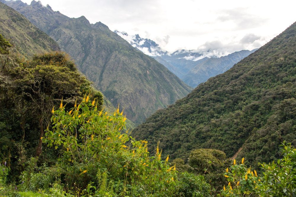
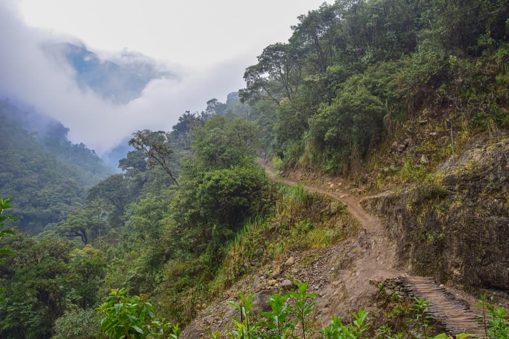
Campsite in cloud forest. Chaullay is a small village and a key stop on the Salkantay Trek, marking the transition from high-altitude terrain to the lush cloud forest. It’s a popular camping area, surrounded by green mountains and crossed by the Santa Teresa River, offering a…
- Stop 06Cusco Region, Peru
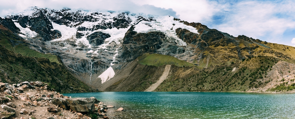
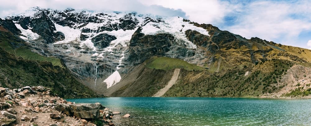
Humantay Lake is a high-altitude glacial lake reached as a side trip from the Soraypampa area on many Salkantay itineraries. It is useful to treat the lake as an optional excursion, not as the next through-stage toward Salkantay Pass: the main Salkantay route continues from the…
- Stop 07Cusco Region, Peru
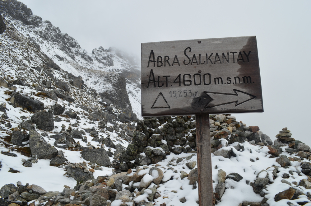
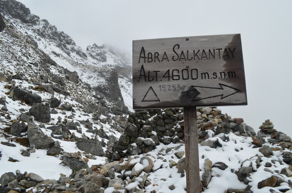
Abra Salkantay (Salkantay Pass) is the high pass on Salkantay trekking routes toward Machu Picchu. On Wyld Quest’s longer variants it follows the Soraypampa/Humantay area before the route descends toward lower valleys. Published itineraries place the crossing at roughly…
- Stop 08Cusco Region, Peru
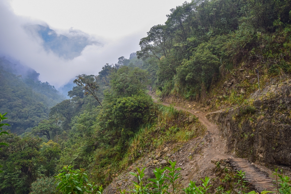
A scenic rest stop in the lush jungle area. La Playa Sahuyaco is a small settlement along the Salkantay Trek, known for its coffee farms and warm climate. It serves as a resting point for trekkers before the ascent to Llactapata or the route to Hidroelectrica. The area is full of…
- Stop 09Cusco Region, Peru
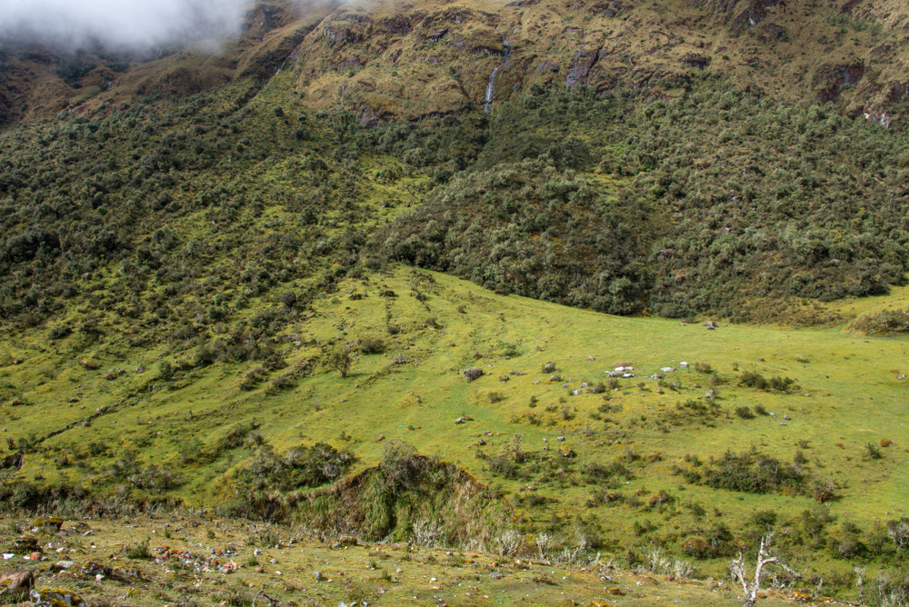
Aobamba is a lush valley along the Salkantay Trek, surrounded by misty mountains and flowing rivers. The area is rich in tropical vegetation and offers a transition from high-altitude landscapes to warm jungle terrain. Hikers pass through this region on their way to La Playa…
- Stop 10Cusco Region, Peru
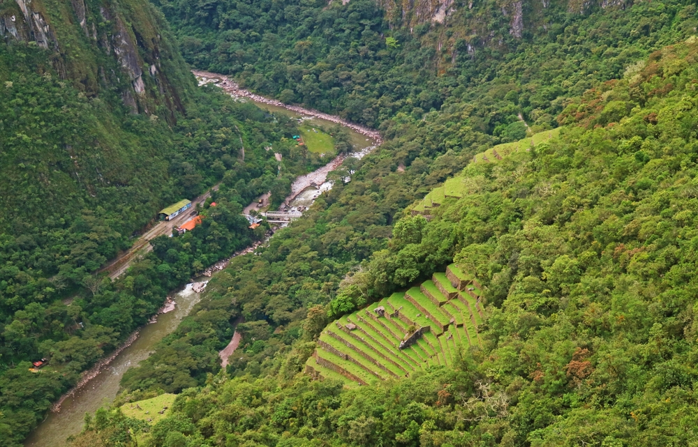
Starting point for the final trek to Aguas Calientes. Hidroelectrica is a key access point for travelers heading to Aguas Calientes and Machu Picchu. Located at the end of a scenic train route, it serves as the starting point for a popular alternative trek to the famous Inca…
- Stop 11Cusco Region, Peru
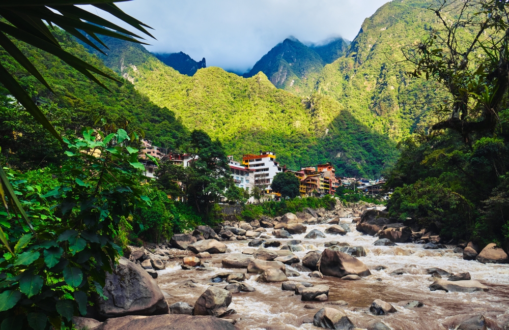
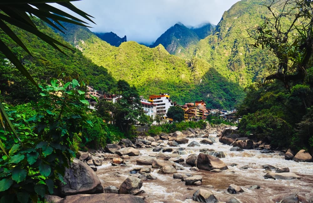
Town at the foot of Machu Picchu, perfect for overnight stays before visiting the ruins. Aguas Calientes, also known as Machu Picchu Pueblo, is the gateway town to Machu Picchu. Nestled in a lush valley along the Urubamba River, it’s a lively place with hotels, restaurants, and…
- Stop 12Cusco Region, Peru
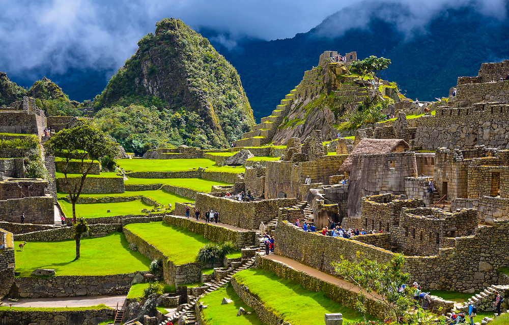
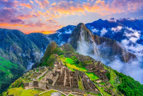
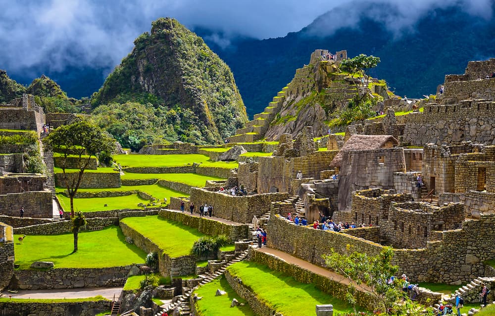
Iconic Inca citadel and highlight of the trek. Machu Picchu is one of the most famous archaeological sites in the world, an ancient Inca citadel set high in the Andes Mountains. This UNESCO World Heritage Site features breathtaking stone structures, terraces, and temples, all…
You can explore the itinerary while it loads.
Dotted lines show itinerary order, not a trail or driving route. Select a pin to read its place in the itinerary.
Statistics and Elevation Profile
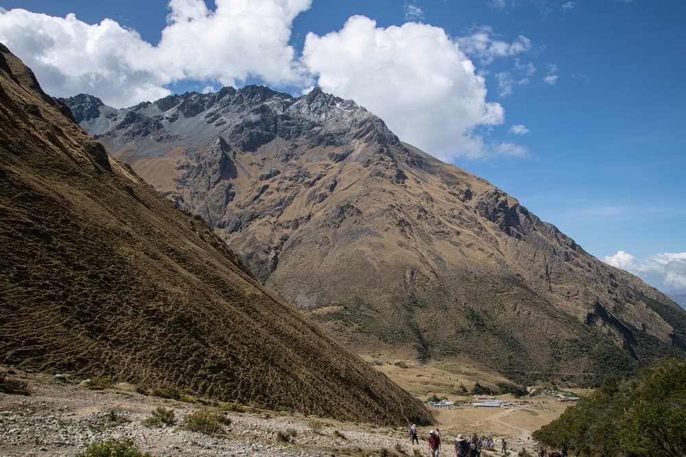
Although the Salkantay Trek sees fewer crowds than the Inca Trail, its growing popularity stems from both its accessibility and freedom. No permits are required, and the route remains open year-round. Whether tackled independently or with a guided group, this Andean journey delivers an incredible blend of raw wilderness and archaeological wonder, making it a top choice for trekkers visiting the Cusco region. Start: Soraypampa (3,900 m / 12,795 ft) End: Aguas Calientes (2,040 m / 6,690 ft) Highest point: Salkantay Pass (4,630 m / 15,190 ft) The classic Salkantay Trek to Machu Picchu covers approximately 72 kilometers / 45 miles over 5 days. With a cumulative elevation gain of over 6,000 meters / 19,600 feet, the trail demands a solid level of fitness and proper acclimatization due to the high altitudes involved. The high point at Salkantay Pass marks a dramatic transition from the rugged alpine environment to lush subtropical cloud forest. Trekkers typically hike 6–8 hours per day, covering varied terrain that includes glacial valleys, tropical rainforests, and ancient agricultural terraces.
Highlights and Landmarks
The Salkantay Trail’s most unforgettable section is the ascent to and crossing of the Salkantay Pass. Here, hikers stand beneath the looming 6,271-meter / 20,574-foot Salkantay peak, often snow-dusted and shrouded in mist—a powerful experience both visually and spiritually. Before the pass, many opt to hike up to Laguna Humantay, a brilliant turquoise glacial lake nestled below sheer cliffs—a highly recommended side trip for acclimatization and scenery. Beyond the pass, the landscape softens as the trail descends into the high jungle, where wild orchids, waterfalls, and hummingbirds replace rocks and ice. Other trail highlights include the thermal baths at Cocalmayo near Santa Teresa, a welcome break after several days on foot, and the final day’s dramatic approach to Machu Picchu along a quieter back route via Llactapata.
Culture and History
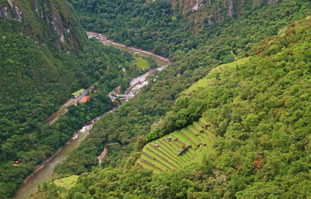
Salkantay means “Savage Mountain” in Quechua, and the peak has long been revered by Andean communities as an “Apu”—a mountain spirit believed to hold sway over weather, crops, and the fate of nearby villages. The trail winds through ancient lands once cultivated by the Inca Empire, and many locals in the area still speak Quechua and maintain traditional farming practices. The route also overlaps with sections of the Qhapaq Ñan, the Incan road network that once spanned thousands of kilometers across South America. Hikers pass remnants of Inca terraces, irrigation channels, and outposts, culminating in the awe-inspiring arrival at Machu Picchu.
Geology
The trail’s landscape tells a dramatic geological story shaped by Andean uplift, glaciation, and tropical erosion. The Cordillera Vilcabamba, where the trail begins, is characterized by sharp granite ridges and deep valleys carved by millennia of glacial movement. Nevado Salkantay itself is part of this young and active range, known for its tectonic complexity and rapidly changing climate zones. As hikers descend, they experience a vertical shift in ecosystems rarely matched by other trails: from alpine tundra to subtropical forest in just a few days. The presence of active fault lines and ongoing erosion continues to shape the region, and landslides and flash floods are a natural part of its dynamic environment.
Essential Gear
Due to the extreme elevation range and unpredictable weather, packing proper gear is essential for comfort and safety on the Salkantay Trail. Sturdy, broken-in hiking boots are a must for traversing rocky sections and slippery jungle paths. Layered clothing, including a down jacket and breathable rain gear, ensures hikers stay warm at altitude and dry during tropical downpours. Trekking poles are strongly recommended, particularly for steep descents and river crossings. A sleeping bag rated for temperatures below freezing is needed for nights at higher elevations, especially at camps like Soraypampa and Chaullay. Sunscreen, sunglasses, and a wide-brimmed hat protect from intense UV exposure at high altitudes, while insect repellent becomes critical in lower jungle zones.
Accommodation
Most trekkers complete the Salkantay Trail with a guided tour, which includes tents or basic lodges (known as "ecodomes" or "sky lodges") and full meal service. These range in comfort from minimalist campsites to glass-domed cabins with hot showers and beds, depending on the tour operator and price tier. For independent hikers, campsites exist along the route, including Soraypampa, Chaullay, and Lucmabamba. However, free camping is discouraged without local permission, and many areas now require payment or booking to use facilities. Aguas Calientes, the final town before Machu Picchu, offers a wide range of accommodation—from hostels to luxury hotels—making it easy to rest before exploring the ruins. Booking in advance is especially important in high season (May to September), when spots on guided treks and campsites fill quickly. While the Salkantay Trail doesn’t require permits, entrance tickets to Machu Picchu and optional hikes like Huayna Picchu or Machu Picchu Mountain must be secured in advance, often weeks or months ahead.
Food and Water
Guided treks typically include three meals a day, with trained cooks preparing hearty dishes like quinoa soup, pasta, stir-fried vegetables, and grilled chicken. Vegetarian and vegan options are usually available if arranged ahead of time. Snacks such as coca leaves, fruit, and granola bars help fuel energy between meals. Independent hikers will need to carry their own food and cooking equipment or buy meals in small villages like Collpapampa or Lucmabamba, where basic provisions are available. Water sources are plentiful along the trail, but all natural water must be treated or filtered due to livestock and human activity. Boiling, iodine tablets, or UV sterilizers are all effective options.
Navigation
The Salkantay Trail has become increasingly well-marked in recent years, with trail signs, carved wooden markers, and cairns (rock piles) guiding the way at key junctions. Still, the route can become confusing in fog, rain, or when multiple footpaths cross farmland and forest. Offline GPS apps like Maps.me or AllTrails with downloaded trail data help confirm the correct route, especially near Chaullay and Lucmabamba where trail forks are common. Physical maps and a compass serve as essential backups in case of phone failure or poor signal.
Safety and Risk Management
Altitude sickness poses the biggest risk on the Salkantay Trail. Proper acclimatization before starting the hike is crucial—spending 2–3 days in Cusco (3,400 m / 11,150 ft) is strongly recommended. Symptoms of Acute Mountain Sickness (AMS) include headache, nausea, and fatigue, and should never be ignored. Medication like acetazolamide (Diamox) can help reduce symptoms if needed. The weather is highly variable. Hikers should be prepared for cold nights, intense sun, sudden rainstorms, and, occasionally, snowfall at higher elevations. Landslides and river flooding occur during the rainy season (November to March), and trail closures or detours may apply. For this reason, most people hike the trail in the dry season from April to October. Travel insurance with emergency evacuation coverage is advisable, especially for remote mountain travel. Some guided groups carry satellite phones or radios, but solo hikers should consider a GPS communicator for emergencies. Wildlife risks are minimal, though snakes and insects can be present in lower elevations—awareness and appropriate gear help prevent issues.
Permits and Fees
Unlike the Inca Trail, the Salkantay Trek does not require a government-issued permit. However, entrance fees are charged at several checkpoints along the trail—usually ranging from 10–30 soles (about $3–$9 USD), paid in cash. Some campsites and thermal springs also charge modest usage fees. Transportation to the trailhead and from Aguas Calientes also incurs costs. Most guided treks include transfers from Cusco. Independent hikers can take a bus to Mollepata and arrange local taxis or trucks to Soraypampa. After finishing the hike, the train from Aguas Calientes to Ollantaytambo or Cusco must be booked in advance—prices vary significantly depending on class and availability.
Salkantay Trek to Machu Picchu: common questions
When is the best time to do Salkantay Trek to Machu Picchu?
The best season for Salkantay Trek to Machu Picchu is Summer, Spring, Fall.
How many checkpoints does Salkantay Trek to Machu Picchu have?
Salkantay Trek to Machu Picchu has 12 checkpoints to log on the way to finishing it.
Plan your journey.
Keep this journey for later, or share it with someone you would like to go with.
Plan the trek
The Salkantay trek, day by day
The high pass, the valleys and the planning read for the classic alternative route to Machu Picchu.