Transcaucasian Trail — stop photo 1
Transcaucasian Trail — stop photo 2
crossing · point to point

Transcaucasian Trail

Georgia, Armenia

About this journey

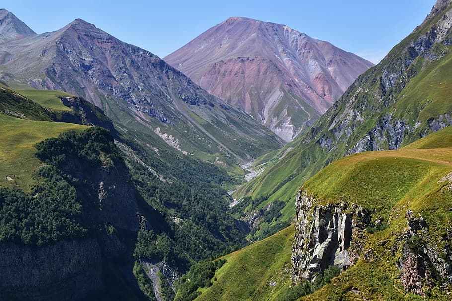
The Transcaucasian Trail represents one of the world's most ambitious and newest long-distance hiking adventures, crossing the wild heart of the Caucasus Mountains through Georgia and Armenia. This groundbreaking trail offers over 1,500 kilometers of diverse terrain, from ancient volcanic landscapes and pristine alpine meadows to traditional mountain villages unchanged for centuries. The full TCT spans 932 miles (1500km) across Georgia and Armenia, with sections ranging from moderate day hikes to challenging multi-day wilderness adventures.What sets the TCT apart is its pioneering nature and cultural immersion. More than half of the Transcaucasian Trail (TCT) can currently be hiked, and we're working hard to build the rest of the trail.

Quick facts

stops
3located
shape
crossing
high point
1,500meters
total distance
74 km
best season
Anytime
avg completion
2-4 days

Loading your progress…

loading map…

The journey, stop by stop

stop 1 of 3
photo not yet sourced

Tbilisi-Sachkhere Road to Drbo

23 km

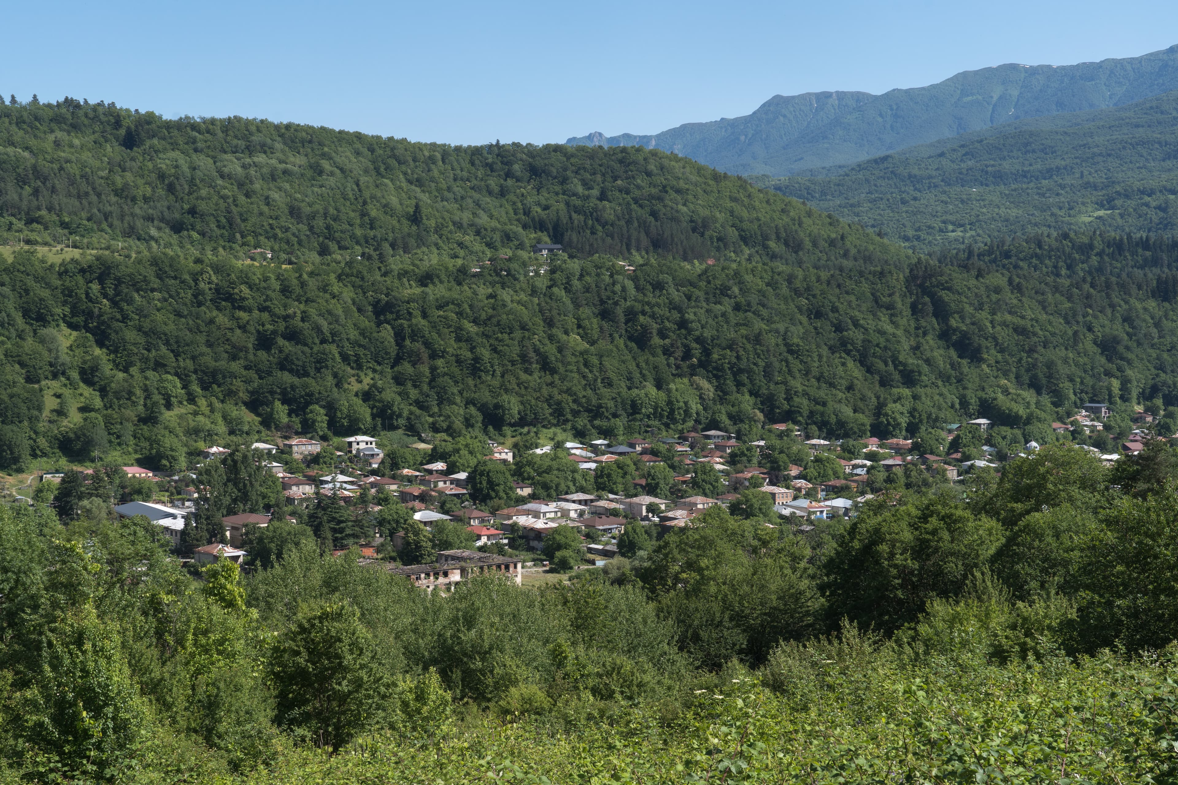
his forested trail climbs gently through dirt roads and pastures, with waterfall detours and spring-fed rest points. The ascent ends with ridgeline views and a descent into the village of Drbo.

stop 2 of 3Drbo to Oni

Drbo to Oni

A rugged alpine stage with steep forest climbs, exposed ridges, and limited water. Cross seasonal springs and open meadows, then descend through remote villages and forests into Oni, with views of the Greater Caucasus.

stop 3 of 3 · high pointOni to Rascha

Oni to Rascha

1,500 meters12 km

Within Georgia, Racha is known for its slower pace– which we hope hikers embrace, if the steep climb from Lower Racha into Upper Racha doesn’t do the job for them!

History and Geology

Most hikers complete the full trail in 2-4 months, though section hiking is possible in 6-week segments. The trail attracts pioneering adventurers seeking to experience one of the world's newest and most challenging long-distance routes. The Transcaucasian Trail follows ancient trade routes, pilgrimage paths, and traditional herding trails that connected Asia and Europe for millennia. These historic pathways linked diverse civilizations across one of the world's most culturally rich regions, where distinct languages, religions, and cultural practices developed in isolation. Historic villages like Shatili in Georgia and settlements in Armenia's Syunik region demonstrate how mountain communities adapted to extreme environments while preserving cultural identity. The trail connects significant landmarks including Geghard Monastery and Tatev Monastery, showcasing the region's evolution from ancient kingdoms through Soviet-era infrastructure to modern nation-building. Geologically, the trail traverses one of Earth's most complex and active regions. The Greater Caucasus formed through collision between Arabian and Eurasian plates, creating Europe's highest peaks and most dramatic relief. These young mountains continue rising today, with active geological processes visible throughout Georgian sections. Armenian sections reveal extensive Quaternary volcanic activity, featuring ancient lava flows, volcanic cones, and mineral-rich soils that create unique desert and semi-desert landscapes. The region's position at the intersection of European and Asian geological provinces creates extraordinary diversity from crystalline peaks to sedimentary plateaus, with ongoing seismic activity providing hikers firsthand views of Earth's dynamic processes.

Safety

Essential gear must handle extreme temperature variations from desert heat exceeding 40°C (104°F) to high-altitude conditions with possible snow throughout the hiking season. Comprehensive weather protection includes waterproof and windproof layers for frequent mountain storms, plus sun protection for Armenia's high-altitude desert environments where UV radiation intensifies with elevation. Navigation equipment should include detailed maps for both countries, reliable GPS devices with offline mapping capability, and backup compass systems. Many TCT sections remain unmarked or poorly marked, requiring solid navigation skills and confidence in route-finding through challenging terrain. The trail is still developing and not well maintained, so GPS trackers become essential for successful navigation. Safety equipment includes comprehensive first aid supplies, emergency shelter, water purification systems, and reliable headlamps with extended battery life. Trekking poles prove invaluable for steep terrain and river crossings, while proper mountain boots remain essential for rocky sections. Transcaucasian Trail hiking presents substantial risks including rapidly changing weather, technical terrain, limited rescue infrastructure, and political considerations near contested borders. Remote locations mean self-rescue capabilities become essential, with limited emergency services in wilderness areas. Communication devices and detailed emergency plans prove vital, while solid first aid skills become necessary for group safety.

Nutrition and Other

The trail offers diverse accommodation options from wild camping to guesthouse stays. Wild camping remains legal and necessary throughout most sections, requiring lightweight gear and Leave No Trace principles. Guesthouse options exist in larger towns and some villages, providing opportunities to experience local hospitality and traditional meals while supporting remote mountain communities. Food and water planning requires careful consideration of extended wilderness sections and limited resupply opportunities. Multi-day food carries become necessary for wilderness sections, requiring lightweight, high-energy foods suitable for diverse climates. Georgian sections offer more frequent village access while Armenian sections require longer carries between supply points. Water sources range from reliable mountain streams in Georgian sections to scarce desert springs in Armenian regions. Water purification systems prove essential throughout the route, with backup methods recommended for extended wilderness sections. Some desert crossings require carrying multiple days' water supply, significantly increasing pack weight. The trail requires no special hiking permits for most sections, though some protected areas may require advance permission or entrance fees. Border crossings between Georgia and Armenia require valid passports and appropriate visas. Some sections cross national parks with entrance fees ranging from modest daily rates to substantial charges for extended stays. Transportation costs for trail access and resupply can be significant given remote locations and limited public transport options.

Transcaucasian Trail: common questions

How long is Transcaucasian Trail?

Transcaucasian Trail covers 74 km in total.

How long does Transcaucasian Trail take to complete?

Most people complete Transcaucasian Trail in about 2-4 days.

When is the best time to do Transcaucasian Trail?

The best season for Transcaucasian Trail is Anytime.

How many checkpoints does Transcaucasian Trail have?

Transcaucasian Trail has 3 checkpoints to log on the way to finishing it.

Plan your journey.

Keep this journey for later, or share it with someone you would like to go with.