
Alta Via 1
Belluno, Belluno, Italy
About this journey
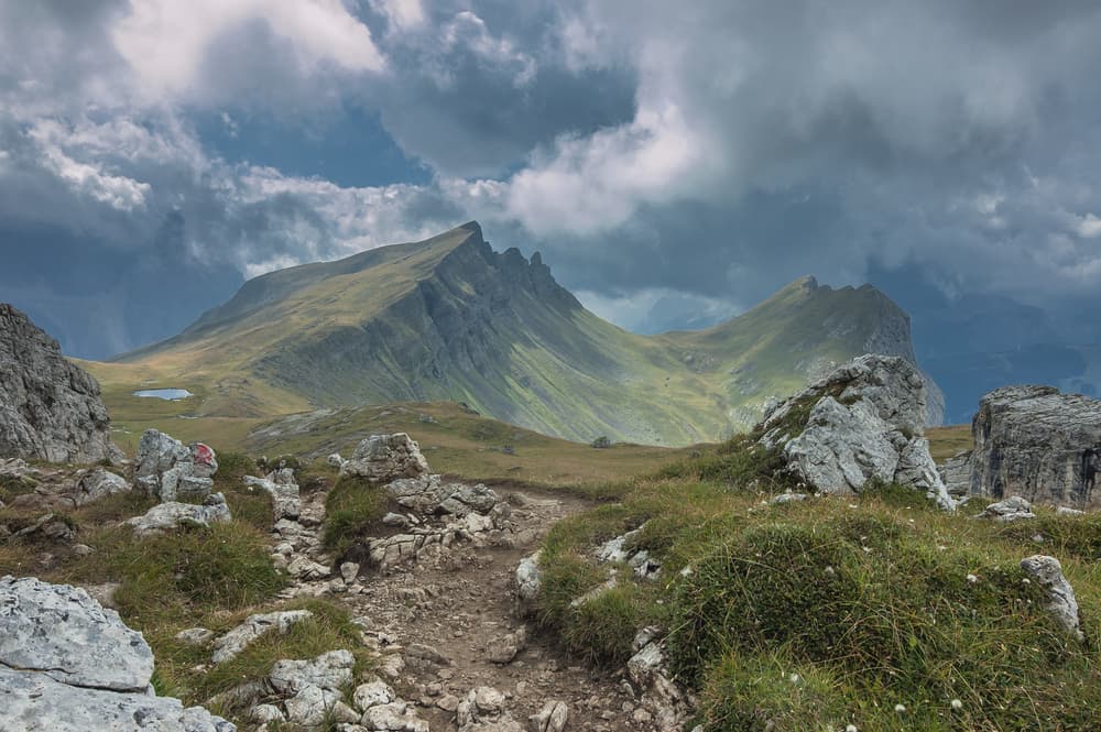
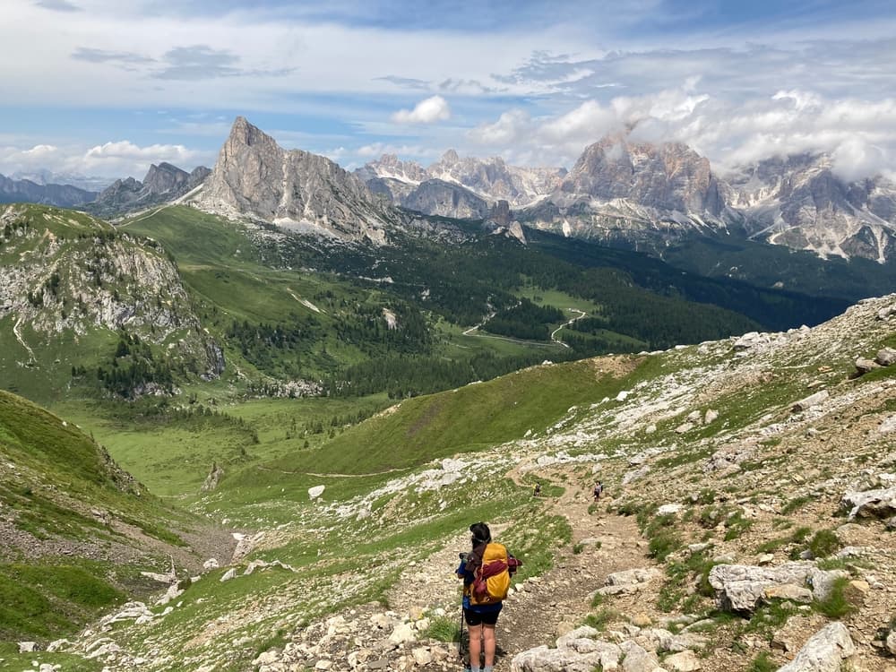
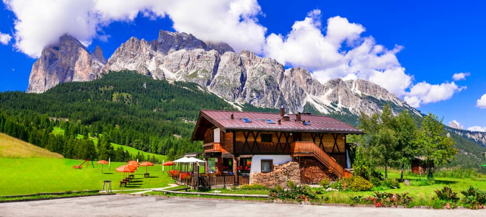
Walk hut to hut through the Italian Dolomites, from Lago di Braies towards Belluno. Follow the route on the map, then explore the individual stages.
Quick facts
- stops
- 10located
- shape
- crossing
- high point
- 1,130meters
- total distance
- 120 km
- best season
- Summer, Spring, Fall
- avg completion
- 5-12 days
Loading your progress…
Map and itinerary
- Stop 01Lago di Braies, Italy
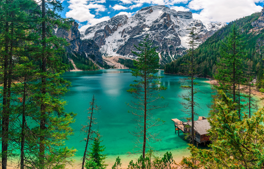
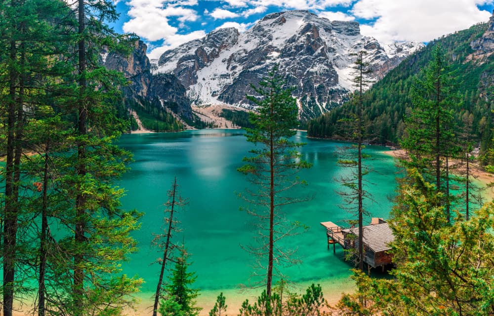
This dramatic opening stage starts from the iconic Lago di Braies, one of the most photographed lakes in the Dolomites. The route climbs steadily through spruce forests and rocky switchbacks, reaching the alpine plateau surrounding Rifugio Biella. Along the way, hikers pass scree…
- Stop 02Fanes, Italy
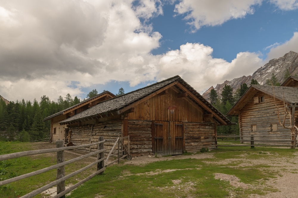
Leaving Rifugio Biella, the trail crosses scree fields and enters a high plateau of Dolomite wilderness. This stage is known for its expansive views and geological complexity, passing by fossil-rich rock layers and under stark cliffs. The descent into the Fanes basin reveals…
- Stop 03Rifugio Lagazuoi, Italy
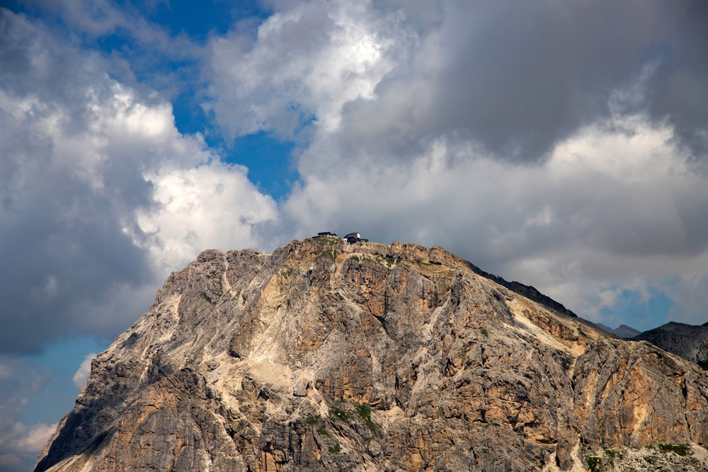
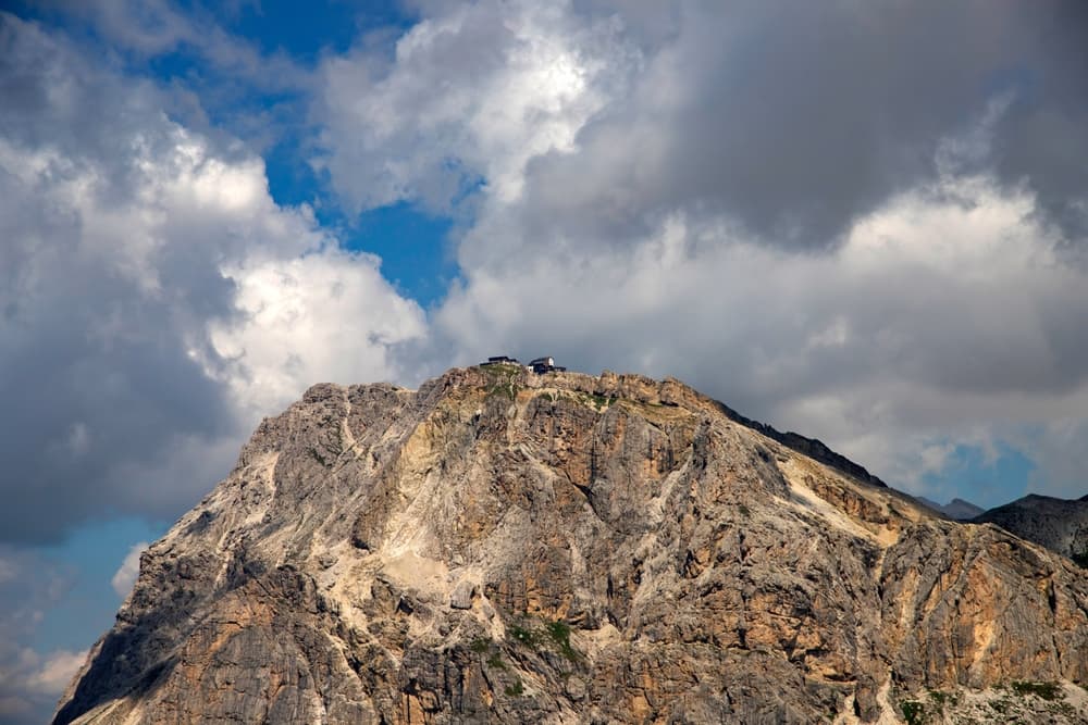
Departing from the tranquil meadows of Rifugio Fanes, the trail meanders through the Gran Fanes plateau, offering glimpses of marmots and alpine flora. The path then ascends steeply to Forcella del Lago, a dramatic saddle at 2,486 meters, before descending to the emerald waters…
- Stop 04Rifugio Nuvolau, Italy
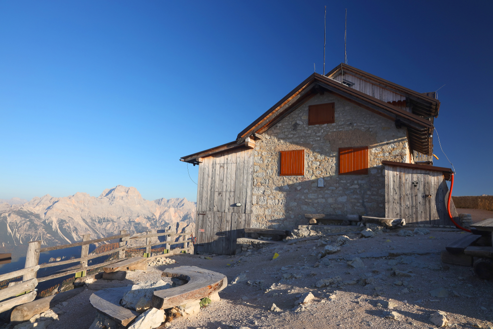
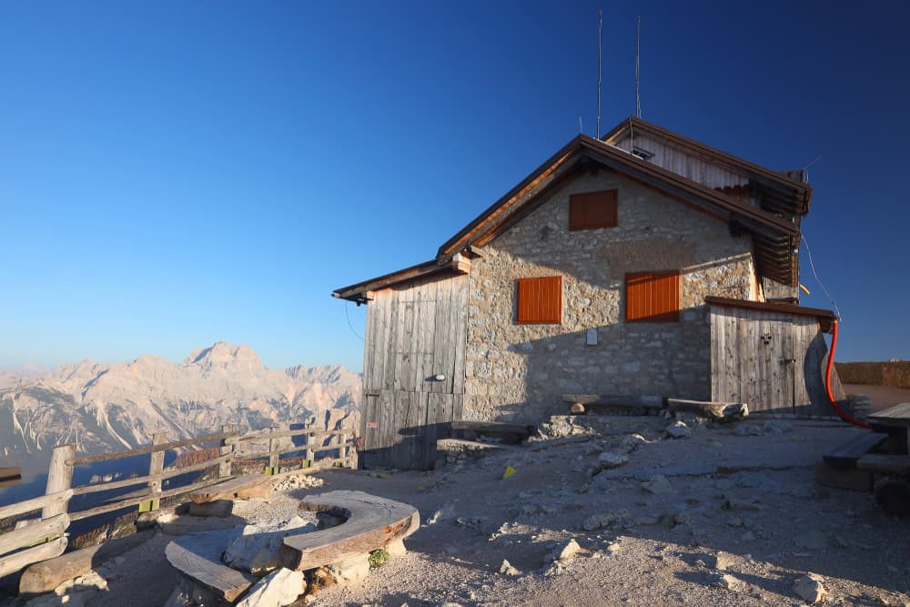
The oldest rifugio in the Dolomites, Rifugio Nuvolau sits atop a rocky spire with breathtaking views of the Cinque Torri, Marmolada, and Tofane . With no road or cable car access, it's a special reward for those who hike in. Cozy and windswept, it's a favorite for sunrise or…
- Stop 05Città di Fiume, Italy
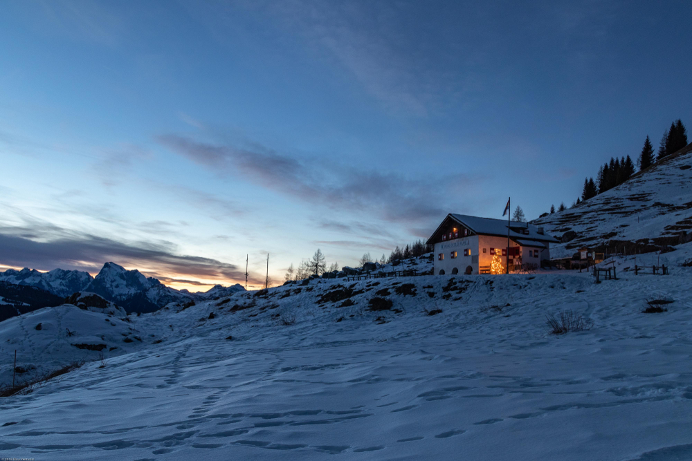
Leaving the exposed heights of Rifugio Nuvolau, this stage descends through flower-filled meadows and undulating terrain with wide views of the Ampezzo Valley. The route passes close to the base of Monte Pelmo, known as the ‘Throne of the Gods’, and winds through a serene forest…
- Stop 06Rifugio Vazzoler, Italy
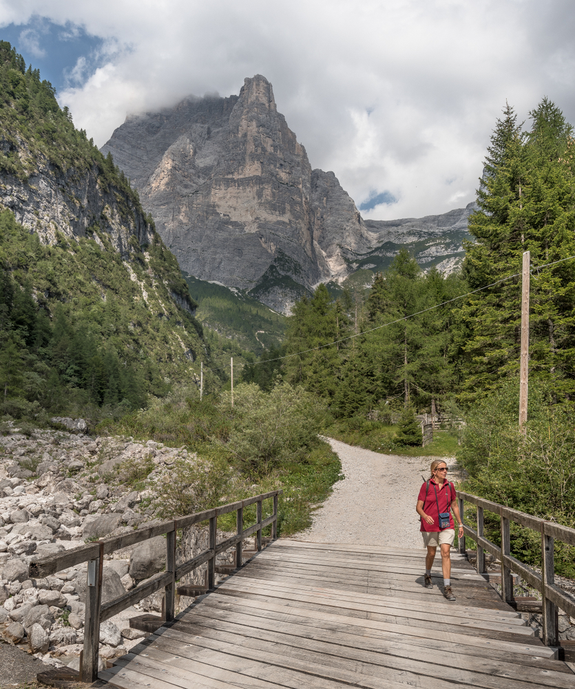
This stretch begins in woodlands below Monte Pelmo and gradually transitions to the base of Monte Civetta, one of the Dolomites’ most iconic faces. You’ll pass abandoned farmsteads and small alpine huts before entering the shadow of towering limestone cliffs. The final push to…
- Stop 07Passo Duran, Italy
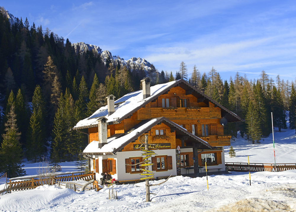
This scenic stage of the Alta Via 1 traverses the wild and dramatic landscapes of the Civetta group, descending from Rifugio Vazzoler (1,714 m) through rocky alpine terrain and forests to reach Passo Duran (1,601 m). It's a moderately short stage that offers impressive rock…
- Stop 08Rifugio Pramperét, Italy
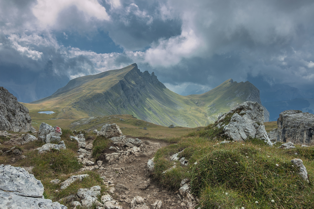
This stage marks the entrance into the wild and less-traveled Dolomiti Bellunesi National Park. From Passo Duran, the path climbs toward the Pramperet range, passing open pastures and clusters of wildflowers. The scenery shifts to rugged cliffs and alpine moorland as you reach…
- Stop 09La Pissa, Italy
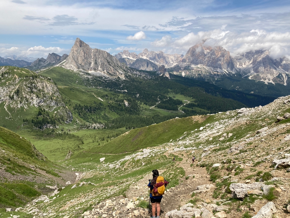
Stage 9 concludes the Alta Via 1 journey with a long descent through beech and pine forest, rocky outcrops, and remnants of alpine farms. The route offers final glimpses of towering peaks before gradually softening into the green valley below. The end point at La Pissa signals…
- Stop 10Belluno, Italy
This final stretch leaves the rugged Dolomites behind, transitioning into the forested hills and farmland of the Belluno valley. While not part of the traditional Alta Via 1, this gentle walk allows trekkers to end their journey in a charming Alpine town with transportation…
You can explore the itinerary while it loads.
Dotted lines show itinerary order, not a trail or driving route. Select a pin to read its place in the itinerary.
Statistics and Elevation Profile
The classic Alta Via 1 route is 120km / 75mi, with approx. 7,400m / 24,000ft in elevation gain, making it a substantial undertaking for experienced mountain hikers. Start: Lago di Braies (1.494 m / 4,902 ft) End: La Pissa (448 m/ 1,470 ft) and bus to Belluno (370 m /1,212 ft) Highest point: Rif. Lagazuoi 2.752 m/9,029 ft, which provides spectacular panoramic views across the Dolomites peaks. Large parts running above an altitude of 2000 meters mean hikers spend significant time in true alpine terrain. A typical day on the route might involve about seven hours walking, with ascents and descents of about 1000 meters.
Highlights and Landmarks
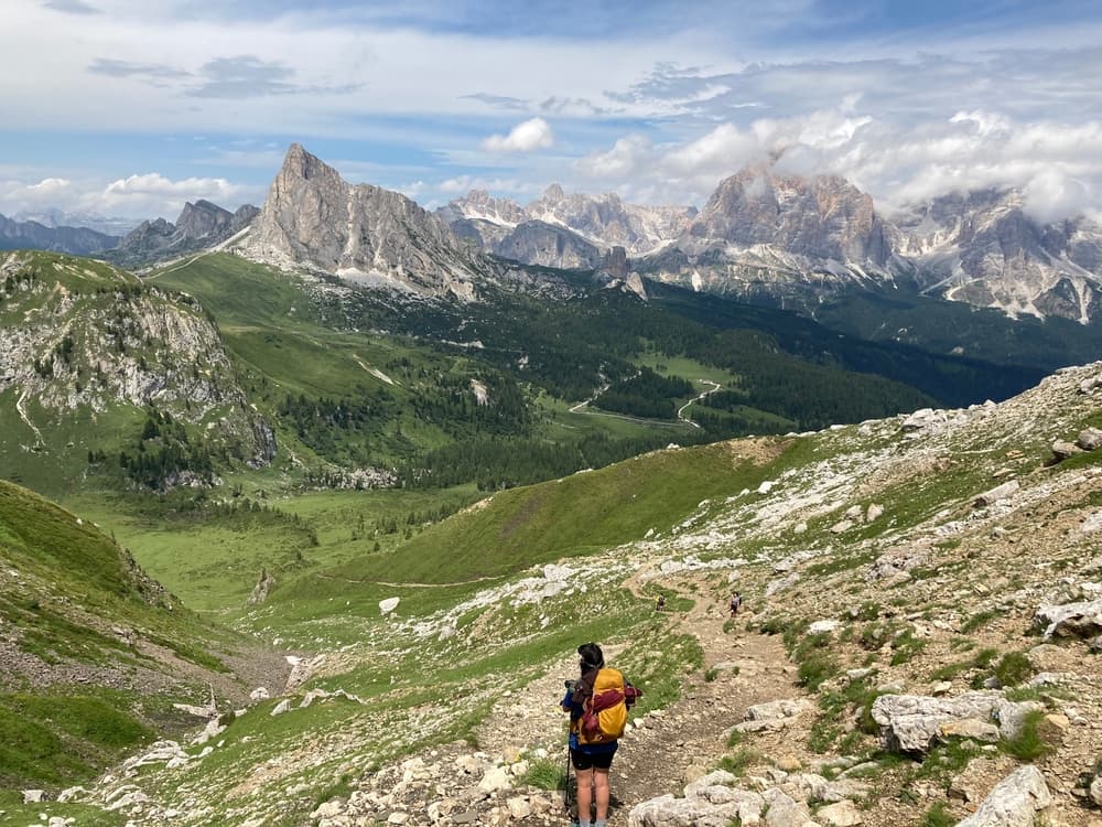
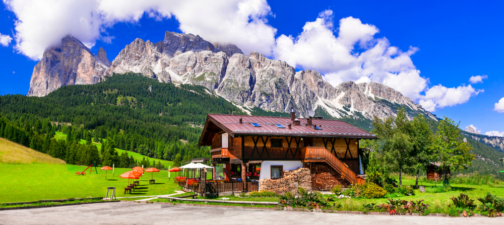
The Via Alta 1 showcases the Dolomites' most iconic landscapes and geological formations. Hikers traverse beneath the towering Tofane group, navigate around pristine alpine lakes, and cross high mountain passes that reveal sweeping vistas of the surrounding peaks. The famous Cinque Torri (Five Towers) formation provides one of the trail's most photographed landmarks, while the Lagazuoi area combines natural beauty with significant historical importance. Passo Giau offers another highlight with its distinctive pyramidal peaks and wildflower meadows that explode with color during summer months. The trail passes through traditional South Tyrolean villages where German, Italian, and Ladin cultures blend seamlessly. Ancient larch forests provide welcome shade and shelter.
Culture and History
The Via Alta 1 traverses the unique cultural landscape of South Tyrol (Alto Adige), where three languages and cultures coexist in remarkable harmony. This region's complex history includes centuries as part of Austria-Hungary until World War I, creating the distinctive blend of Italian and Germanic influences visible today in architecture, cuisine, and local customs. Lagazuoi was a significant battlefield during World War I. The high-altitude conflict between Italian and Austro-Hungarian forces left numerous historical sites along the route, including preserved trenches, tunnels, and memorials that serve as sobering reminders of the "War in Ice and Snow." Local museums and interpretive sites help hikers understand this dramatic chapter of alpine history. Traditional Ladin culture persists in remote valleys, where this ancient Rhaeto-Romance language and customs continue despite centuries of outside influence. Local communities maintain connections to the mountains through traditional farming, cheese-making, and seasonal migration patterns that date back generations.
Geology
The Dolomites earned UNESCO World Heritage status for their exceptional geological significance, representing 250 million years of Earth's history. These distinctive pale limestone formations were once tropical coral reefs beneath the ancient Tethys Sea, later uplifted and sculpted by glacial activity into today's dramatic towers and walls. The unique dolomite rock composition creates the characteristic rosy glow during sunrise and sunset, known locally as "enrosadira." This geological foundation supports diverse ecosystems ranging from Mediterranean vegetation at lower elevations to arctic-alpine conditions on high peaks. Protected areas along the route preserve endemic plant species and wildlife adapted to these extreme mountain environments.
Essential Gear
Essential gear includes sturdy hiking boots broken in before the trip, as the trail offers some particularly steep and loose paths requiring excellent traction and ankle support. Weather protection proves critical, with waterproof jackets and pants mandatory for sudden thunderstorms common in alpine environments. Layering systems allow adaptation to temperature variations from warm valley floors to freezing high passes. Navigation equipment should include detailed topographic maps, a compass, and a GPS device with offline maps downloaded. If you would like to tackle one of the "via ferratas", some of the mountain huts rent the equipment, though most hikers stick to the main trail route. Safety equipment includes first aid supplies, an emergency whistle, and a headlamp with extra batteries for early starts or unexpected delays. Trekking poles prove invaluable for steep descents and stream crossings, while sun protection becomes essential at high altitudes where UV exposure intensifies significantly.
Accommodation
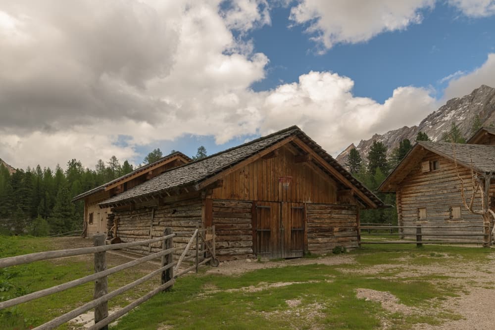
The Via Alta 1 relies heavily on the extensive mountain refuge (rifugio) system maintained by Club Alpino Italiano (CAI) and private operators. These mountain huts provide dormitory accommodation typically ranging from 25-45 euros per night, with hearty meals featuring local specialties available for additional cost. Facilities remain basic but adequate, offering essential services like weather updates and emergency assistance. Popular refuges include Rifugio Fanes, Rifugio Lavarella, Rifugio Scotoni, and Rifugio Nuvolau, each located in spectacular alpine settings. Booking accommodations requires advance planning, especially during peak season from July through August when demand far exceeds capacity. Many refuges don't accept online reservations, requiring phone bookings in Italian or German. Alternative accommodation exists in valley towns like Cortina d'Ampezzo, offering hotel comfort at significantly higher costs. Wild camping remains prohibited throughout most of the route, with designated camping areas available only in specific locations with proper permits. Food and Water Management Mountain refuges provide the most convenient dining option, offering traditional alpine cuisine that fuels long hiking days. Half-board packages including dinner and breakfast represent the most economical choice for most hikers. Regional specialties include hearty soups, pasta dishes, local cheeses, and South Tyrolean wines that reflect the area's cultural diversity. Self-catering options remain limited along the route, with full resupply available primarily in Cortina d'Ampezzo. Hikers choosing this approach must plan carefully and carry additional weight between supply points. Water sources include mountain refuges and natural springs, though natural water should always be purified or treated before consumption.
Navigation
Most of the main trail is well-marked and maintained. The Via Alta 1 follows red-white-red CAI (Club Alpino Italiano) blazes with "AV1" markings throughout most sections, making navigation straightforward in good weather conditions. However, fog, clouds, and snow can obscure trail markers and landmarks, requiring solid navigation skills and proper equipment. Essential maps include the Tabacco 1:25,000 series covering the entire route, with maps 031, 010, 017, and 015 providing detailed topographic information. Digital mapping applications like Maps.me or Gaia GPS offer offline capability essential for areas without cell service. Physical maps serve as crucial backup when electronic devices fail in harsh alpine conditions.
Safety
Alpine hiking presents inherent risks that require constant awareness and proper preparation. Weather changes rapidly at high altitude, with afternoon thunderstorms posing lightning risks on exposed ridges and passes. Weather can change quickly at higher altitudes, so it's essential to bring both waterproof gear and warm layers—temperatures can drop sharply, especially in the evenings. Rockfall danger exists in certain sections, particularly early in the morning when freeze-thaw cycles loosen stones. Stream crossings may become dangerous during heavy rainfall, requiring route modifications or delays until conditions improve. Emergency communication remains challenging in remote areas, making satellite communication devices valuable for serious emergencies.
Permits and Fees
The Via Alta 1 crosses public lands and established trails requiring no special hiking permits or entrance fees beyond accommodation costs and parking charges. Prags can be accessed by bus, and Belluno has both train and bus services. Parking fees apply at popular trailheads like Lago di Braies, typically ranging from 5-15 euros daily during peak season. Transportation costs include bus fares between towns and trailheads, with local SAD bus services connecting major points along the route. Refuge accommodation represents the primary expense, with costs varying based on season, location, and services included. Budget planning should account for meals, transportation, gear rentals if needed, and emergency contingencies for weather delays or route modifications.
Alta Via 1: common questions
How do I plan overnight stops on Alta Via 1?
Choose your route, then check opening dates and book directly with each hut. Match the nights to your chosen walking route before confirming the trip.
Where can I find Alta Via hut booking information?
The stage planning notes link to official information for Biella, Fanes, Nuvolau, Città di Fiume and Vazzoler. Each hut confirms its own availability and terms.
Plan your journey.
Keep this journey for later, or share it with someone you would like to go with.
Plan the route
Via Alta delle Dolomiti, stage by stage
Each stage of the Dolomites hut-to-hut route, hut to hut, so you can plan the order and pick where to start.