

Challenge
Boston Walking City Trails
Boston, Massachusetts, United States


About this challenge
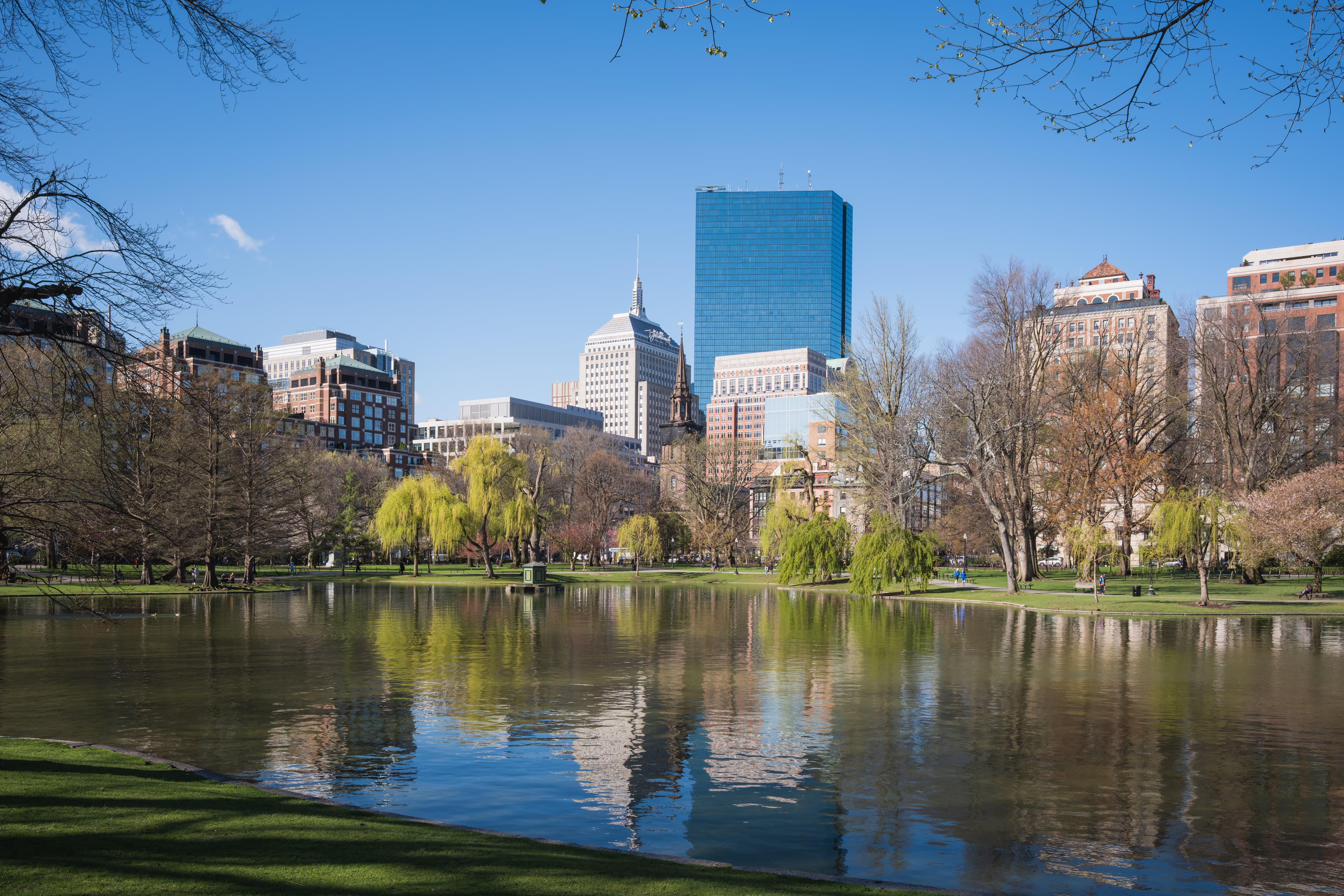
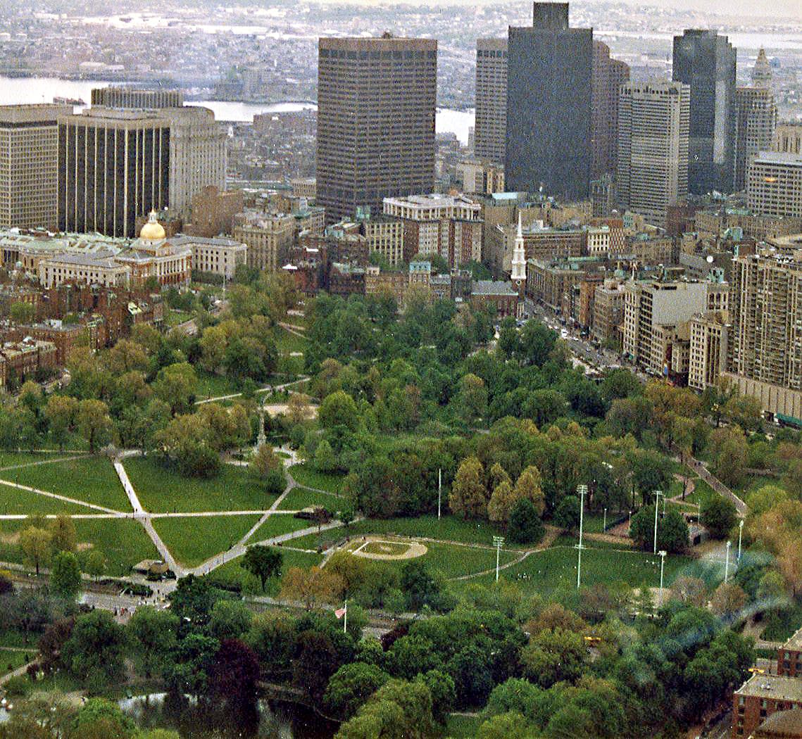
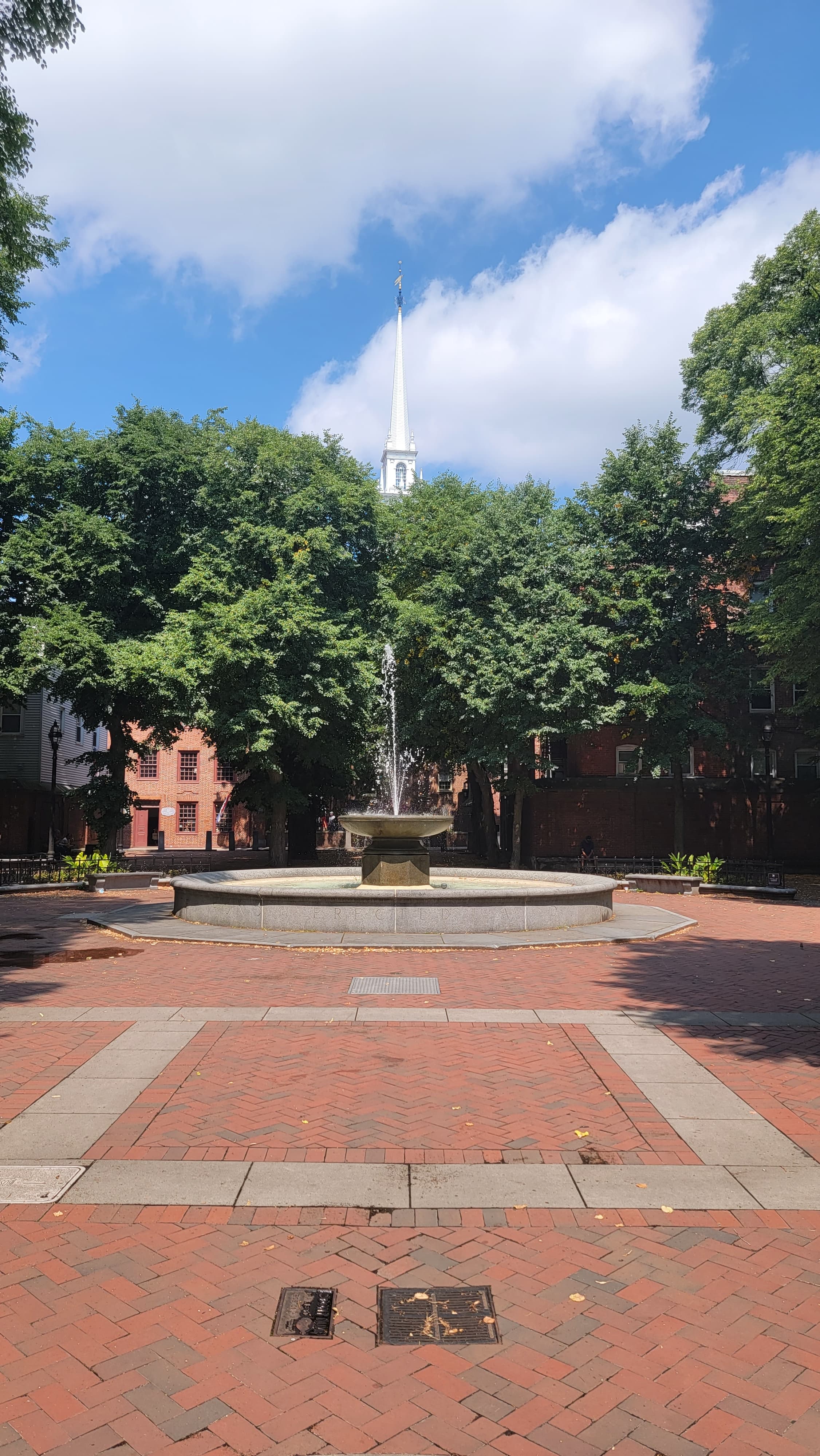
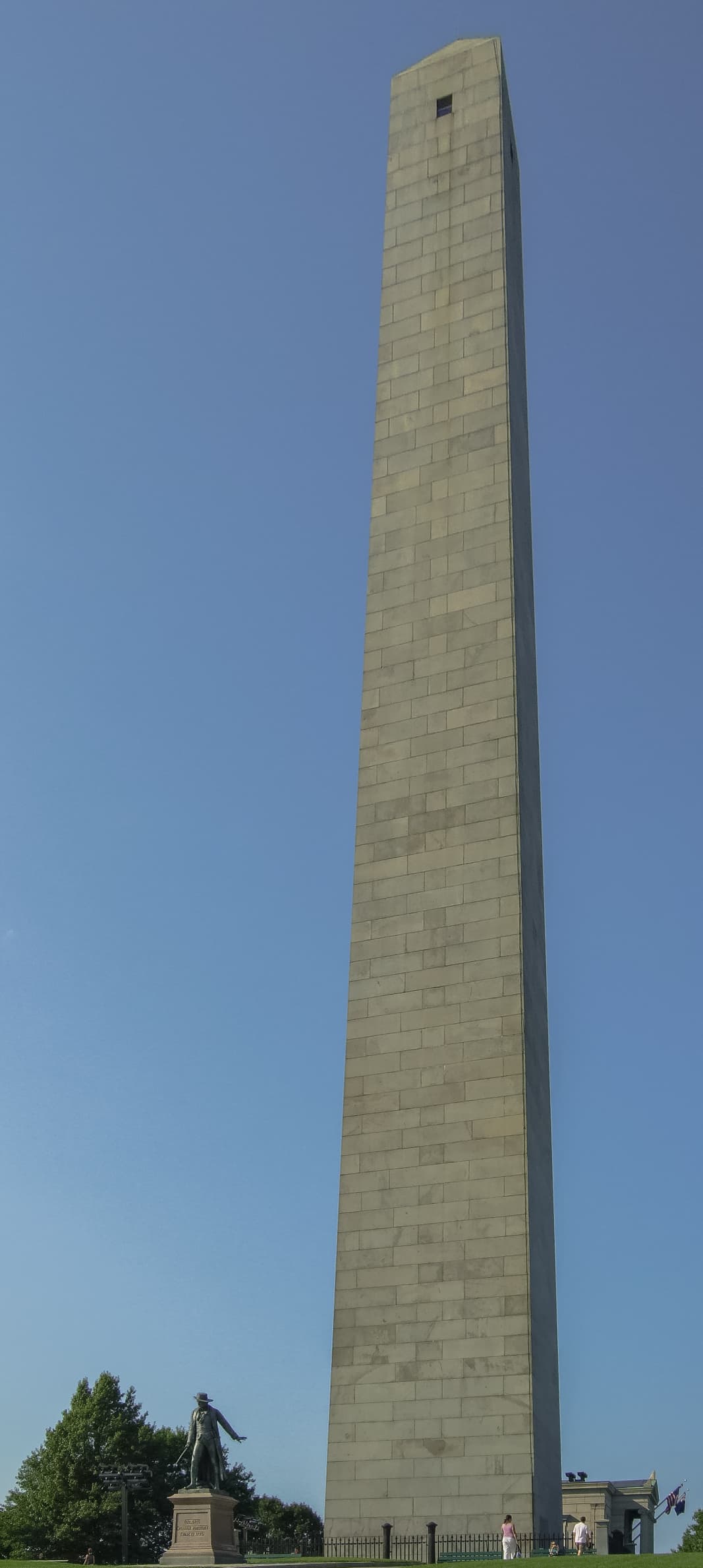
The Boston Walking City Trails are a 58-mile urban hiking network connecting 75+ green spaces across 23 Boston neighborhoods. The network includes the original 27.4-mile Walking City Trail running from the Neponset River to Bunker Hill Monument, plus the 31.1-mile City On The Hills Trail from West Roxbury to Castle Island. These transit-accessible trails showcase Boston's parks, gardens, historic sites, and diverse neighborhoods while following the city's walkable heritage. Founded in spring 2022 by Bostonians with a shared passion for wandering, the trails can be completed in segments or as multi-day urban adventures, offering everything from Freedom Trail history to harbor views and hidden neighborhood gems.
Quick facts
- Checkpoints
- 29
- Distance
- 27 miles
- Avg Completion
- 2-5 days
- Best Season
- Anytime
Overview
The Boston Walking City Trails stand as one of the Northeast's most innovative urban hiking adventures, offering outdoor enthusiasts an unforgettable journey through the diverse neighborhoods, parks, and hidden gems of America's most walkable city. This unique trail network embodies urban exploration, community connection, and historical discovery, inviting hikers to experience Boston's remarkable transformation from colonial settlement to modern metropolis through an intricate web of green spaces, historic sites, and vibrant neighborhoods. The trails attract hundreds of dedicated urban hikers annually who seek to experience the city's architectural heritage, diverse communities, and the seamless integration of natural spaces within one of America's oldest cities. The complete Boston Walking City Trails network encompasses 58 miles through Boston's parks, gardens, urban forests, and residential neighborhoods, featuring two major routes: the original 27-mile Walking City Trail connecting 17 neighborhoods from the Neponset River Reservation to Bunker Hill Monument, plus the newer 31-mile City On The Hills Trail stretching from West Roxbury to Castle Island, creating a comprehensive urban hiking experience. Individual trail segments range from easy 3-mile neighborhood walks to challenging 12-mile cross-city adventures, with minimal elevation changes typical of urban terrain. The relatively flat terrain makes these trails accessible to hikers of all experience levels while still providing substantial distance challenges for endurance-focused adventurers seeking urban exploration.
History and Geology
The Boston Walking City Trails connect modern urban hikers with over 400 years of American history, from the Puritan settlement of 1630 through the Revolutionary War, Industrial Revolution, and contemporary urban development. The trails deliberately incorporate many of Boston's most significant historical sites, including locations where key events in American independence occurred. Boston's iconic 2.5-mile Freedom Trail connects 16 nationally significant historic sites, which intersects with portions of the Walking City Trail network, providing additional historical context for urban hikers. The network celebrates Boston's evolution as America's "Walking City," a designation that reflects both the city's compact scale and its pedestrian-friendly design principles that date back to colonial street patterns. The trails also highlight Boston's remarkable immigrant history, passing through neighborhoods that have welcomed waves of Irish, Italian, Chinese, Latino, and other communities who shaped the city's character. This cultural diversity remains visible today through architecture, local businesses, community centers, and public art that the trails intentionally showcase. The Boston Walking City Trails traverse a geologically fascinating urban landscape shaped by glacial activity, harbor formation, and centuries of human land modification. The underlying geology consists primarily of glacial deposits left by retreating ice sheets, creating the rolling hills and filled valleys that define Boston's topography. The trails cross several distinct geological zones, from the original Shawmut Peninsula where Boston was founded to extensive landfill areas that expanded the city into Boston Harbor.
Safety
Weather protection for Boston Walking City Trails requires versatile urban hiking gear suitable for New England's variable climate and extended pavement walking. Lightweight, breathable clothing with layering options handles Boston's humid summers and cold winters, while waterproof jackets provide protection during frequent rain showers that can occur in any season. Comfortable, well-cushioned walking shoes become essential for the extensive pavement and sidewalk hiking that characterizes urban trails. Quality athletic shoes or lightweight hiking boots provide necessary support for long-distance urban walking while remaining appropriate for city environments and indoor stops. Navigation equipment should include smartphone apps with offline mapping capability, though the trails are well-marked and cell service is reliable throughout Boston. Portable phone chargers ensure navigation reliability during longer hiking days, while basic first aid supplies handle minor issues common to urban hiking. Boston Walking City Trails present unique urban hiking safety challenges that differ significantly from wilderness hiking risks. Traffic awareness becomes crucial when crossing busy streets and navigating urban intersections, particularly during rush hour periods when pedestrian and vehicle traffic peaks. Personal safety considerations include awareness of surroundings in urban environments, securing valuables, and understanding local neighborhood characteristics. The trails generally pass through safe, well-populated areas with good visibility and regular police presence, though standard urban precautions remain appropriate. Weather-related risks include heat exhaustion during summer months when pavement temperatures can become extreme, and ice hazards during winter conditions that may not be immediately apparent on sidewalks and stairs.
Nutrition and Other
The Boston Walking City Trails offer exceptional accommodation flexibility, with options ranging from luxury downtown hotels to budget hostels and vacation rentals throughout the trail network. Both trails are accessible by MBTA buses or trains, making it easy to start and end hikes from various accommodation locations. Downtown Boston provides the most convenient base for trail access, with numerous hotels within walking distance of multiple trail segments. Neighborhoods like Cambridge, Somerville, and Jamaica Plain offer alternative accommodation options that provide direct access to different trail sections while showcasing local community character. Food and water planning for Boston Walking City Trails benefits from the urban environment's abundant services and amenities. The trails offer access to local businesses, including cafes, restaurants, corner stores, and markets that provide convenient resupply opportunities throughout the hiking experience. Water sources include numerous public fountains, visitor centers, and businesses that welcome hikers seeking hydration. Food options range from quick snacks at convenience stores to full meals at restaurants representing Boston's diverse culinary heritage. The Boston Walking City Trails require no special permits or fees for hiking, as the routes utilize public sidewalks, parks, and open spaces accessible to all pedestrians. Some trail segments may involve modest fees for specific attractions or facilities, such as museum visits, historic site tours, or public restroom access in certain locations. However, the basic hiking experience remains free and accessible to all visitors regardless of economic circumstances. Parking fees vary by neighborhood and duration, typically ranging from $1-3 per hour in metered areas to $15-25 daily in commercial lots.
Featured checkpoints
Harvest River Bridge
Boston, Massachusetts
Sherrin Woods
Boston, Massachusetts
Stony Brook Reservation
Boston, Massachusetts
Sherman Street Green Space Conservancy
Boston, Massachusetts
Adams Park
Boston, Massachusetts
Arnold Arboretum
Boston, Massachusetts
All stops on this route
- 1. Harvest River Bridge
- 2. Sherrin Woods
- 3. Stony Brook Reservation
- 4. Sherman Street Green Space Conservancy
- 5. Adams Park
- 6. Arnold Arboretum
- 7. Southwest Corridor Park
- 8. Franklin Park
- 9. Parley Vale Woods
- 10. Jamaica Pond
- 11. Olmsted Park
- 12. NIRA Rock
- 13. McLaughlin Woods
- 14. Mission Hilltop
- 15. Kevin W. Fitzgerald Park
- 16. The Riverway
- 17. The Fens
- 18. Fenway Victory Gardens
- 19. Commonwealth Avenue Mall
- 20. Esplanade Park
- 21. Boston Public Garden
- 22. Boston Common
- 23. Winthrop Square
- 24. Martin’s Park
- 25. Boston Harbor Walk
- 26. Paul Revere Mall
- 27. Charter Street Park
- 28. Paul Revere Park
- 29. Bunker Hill Monument
Boston Walking City Trails: common questions
How long is Boston Walking City Trails?
Boston Walking City Trails covers 27 miles in total.
How long does Boston Walking City Trails take to complete?
Most people complete Boston Walking City Trails in about 2-5 days.
When is the best time to do Boston Walking City Trails?
The best season for Boston Walking City Trails is Anytime.
How many checkpoints does Boston Walking City Trails have?
Boston Walking City Trails has 29 checkpoints to log on the way to finishing it.
Keep exploring
More Boston walking routes
Short, finishable city walks across Boston, plus the trail guide that ties them together.