
Annapurna Circuit
Nepal
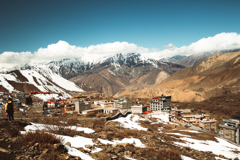
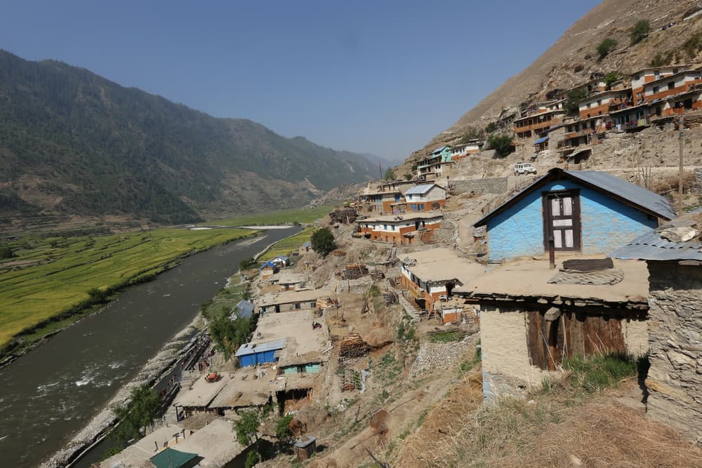
About this journey
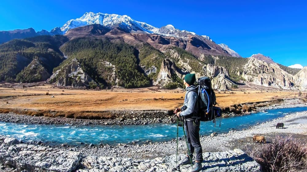
The Annapurna Circuit is a world-renowned trekking route in Nepal that circles the Annapurna Massif. It offers unmatched diversity in landscape, culture, and climate—from lush subtropical forests to high alpine passes. Trekkers cross dramatic gorges, visit Tibetan villages, and ascend to the iconic Thorong La Pass at 5,416 m.
Quick facts
- stops
- 13located
- shape
- crossing
- high point
- 5,416meters
- total distance
- 160 km
- best season
- Summer, Spring, Fall
- avg completion
- 14-20 days
Loading your progress…
Map and itinerary
- Stop 01Nepal
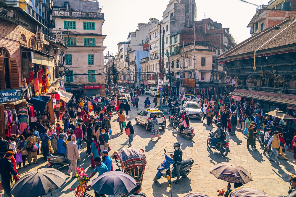
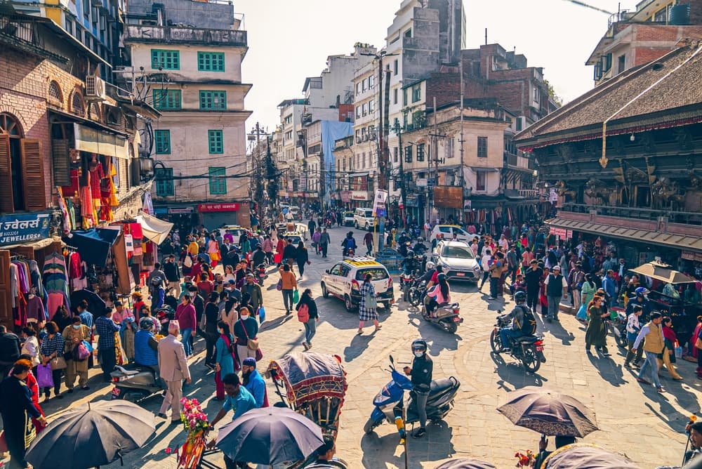
Kathmandu, the capital of Nepal, is a vibrant city blending ancient traditions with modern life. It's the cultural and economic hub of the country, offering historical sites, bustling markets, and diverse cuisine.
- Stop 02Nepal
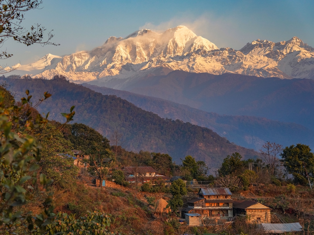
Besisahar is a town in the Lamjung District, serving as the traditional starting point for the Annapurna Circuit. It's a gateway to the trek, offering basic amenities and transportation options.
- Stop 03Nepal
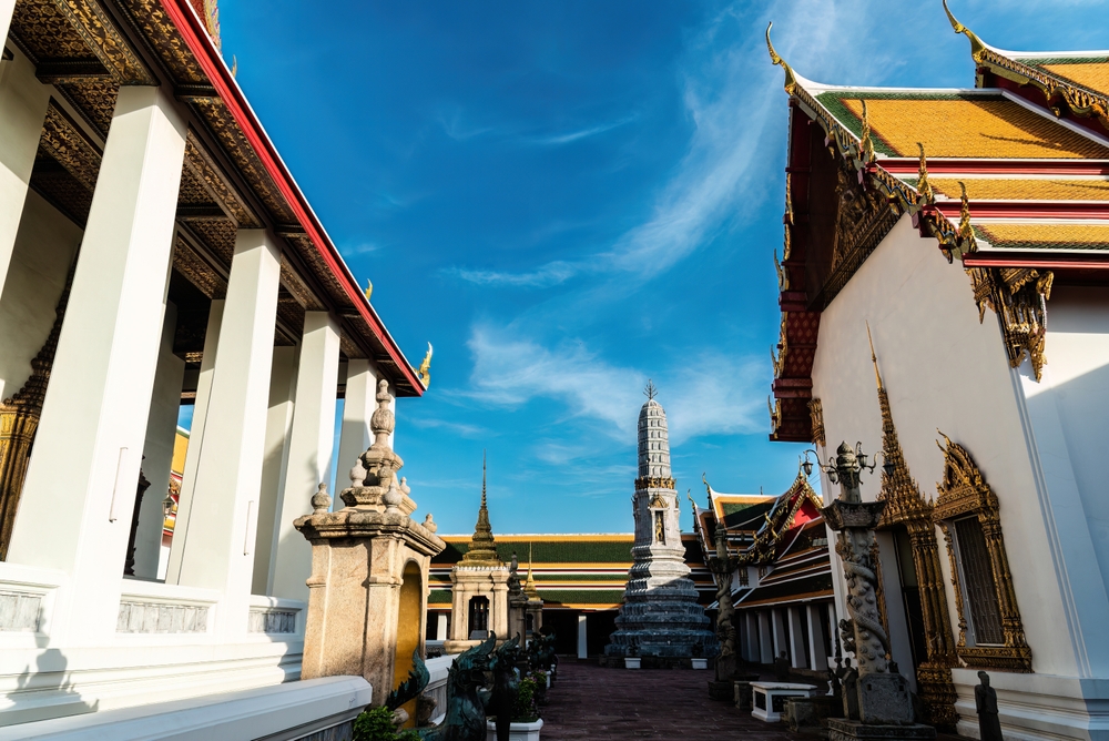
Chame is the administrative center of the Manang District, nestled along the Marshyangdi River. Surrounded by pine forests and views of Lamjung Himal, it's a common stop for acclimatization.
- Stop 04Nepal
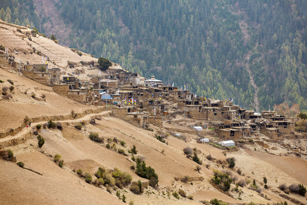
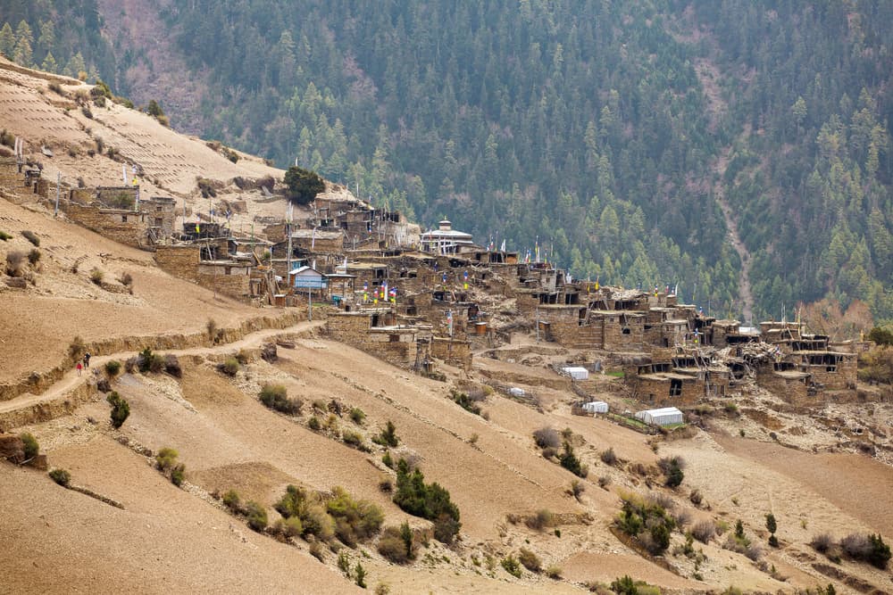
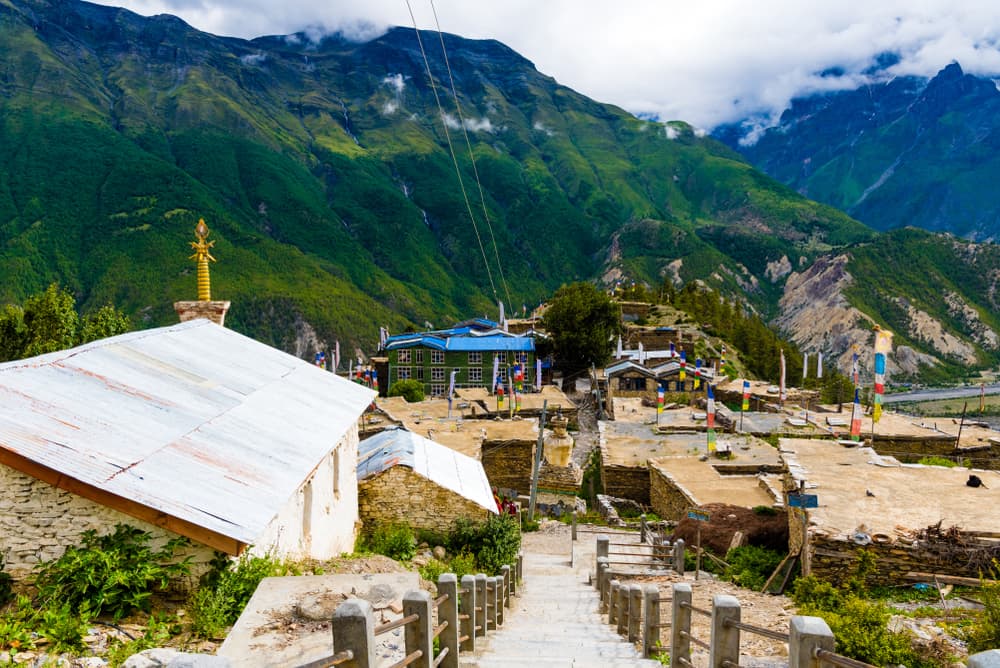
Pisang is a picturesque village divided into Upper and Lower sections, offering panoramic views of Annapurna II and Pisang Peak. It's known for its traditional Tibetan-style houses and monasteries
- Stop 05Nepal
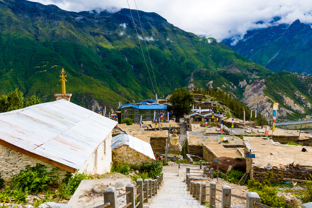
Ngawal is a traditional village perched above the valley, offering stunning views of the Annapurna range. It's less frequented, providing a peaceful atmosphere and insight into local culture.
- Stop 06Nepal
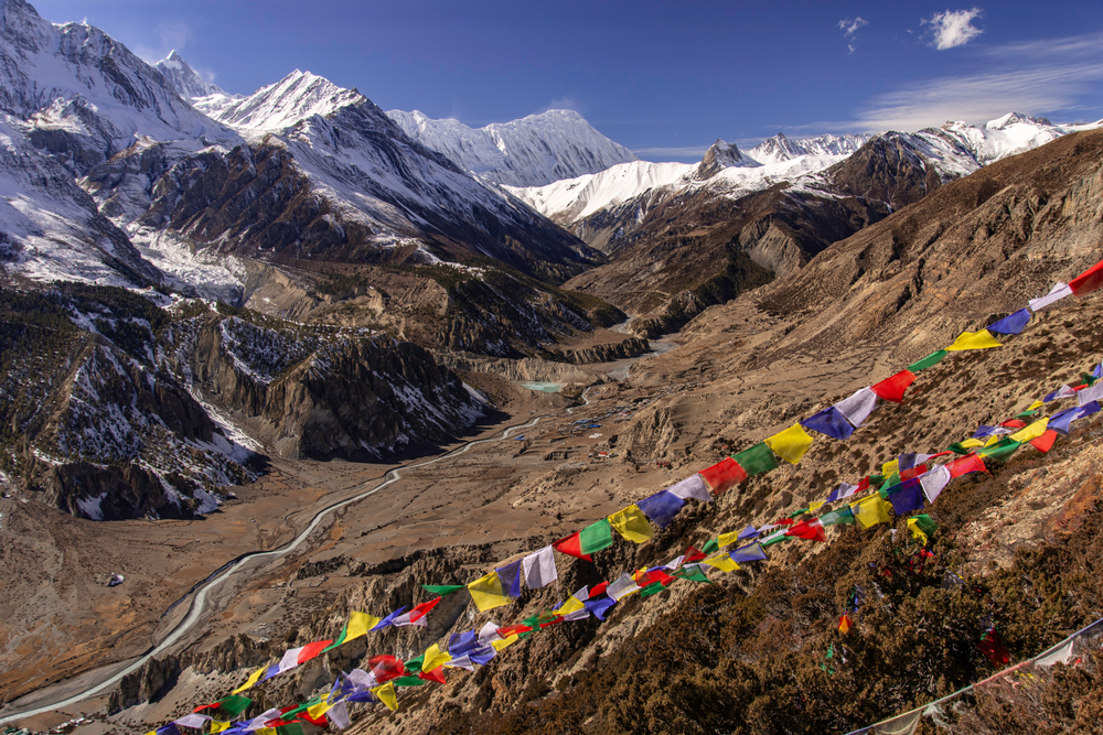
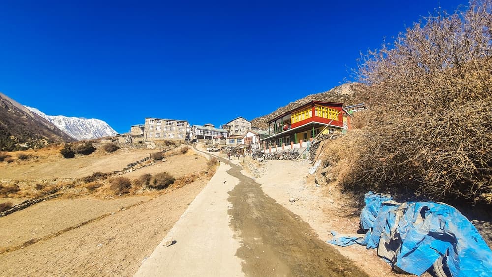
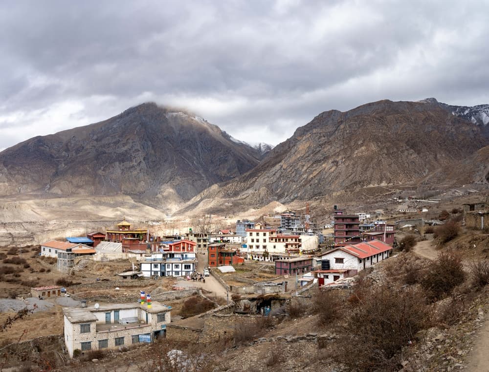
Manang is a key acclimatization stop on the Annapurna Circuit, situated in a broad valley with stunning mountain views. The town offers various amenities, including bakeries, gear shops, and a medical clinic specializing in altitude sickness.
- Stop 07Nepal
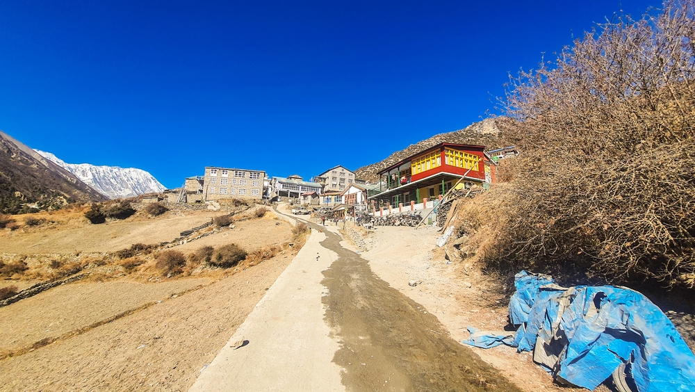
Sri Kharka is a small settlement en route to Tilicho Lake, offering basic accommodations. It's a common overnight stop for trekkers heading to the lake, providing rest before the challenging ascent.
- Stop 08Nepal
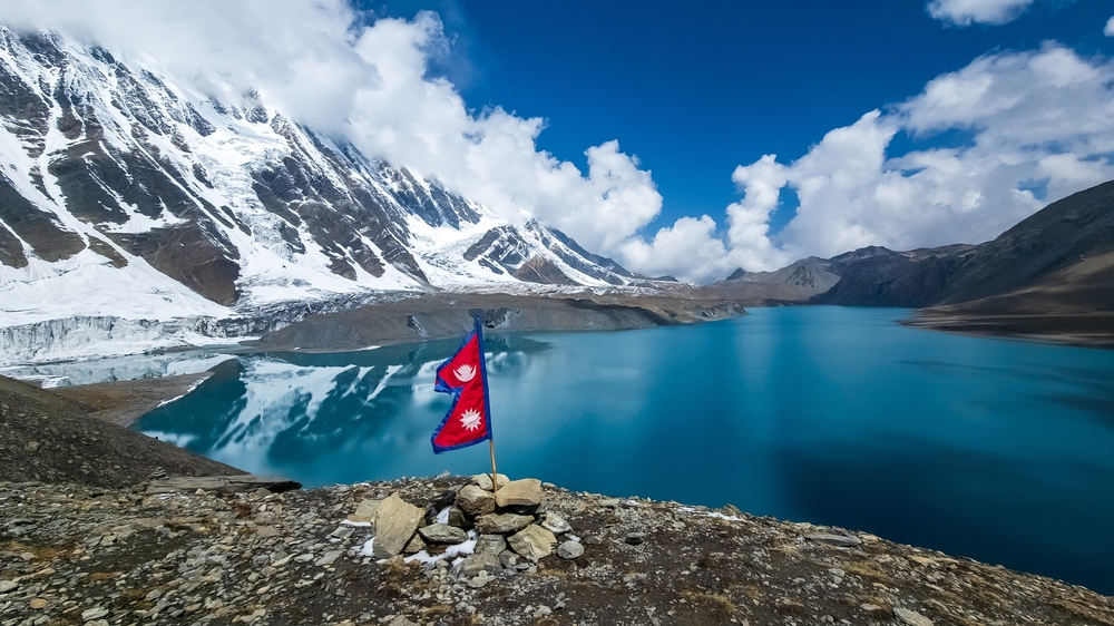
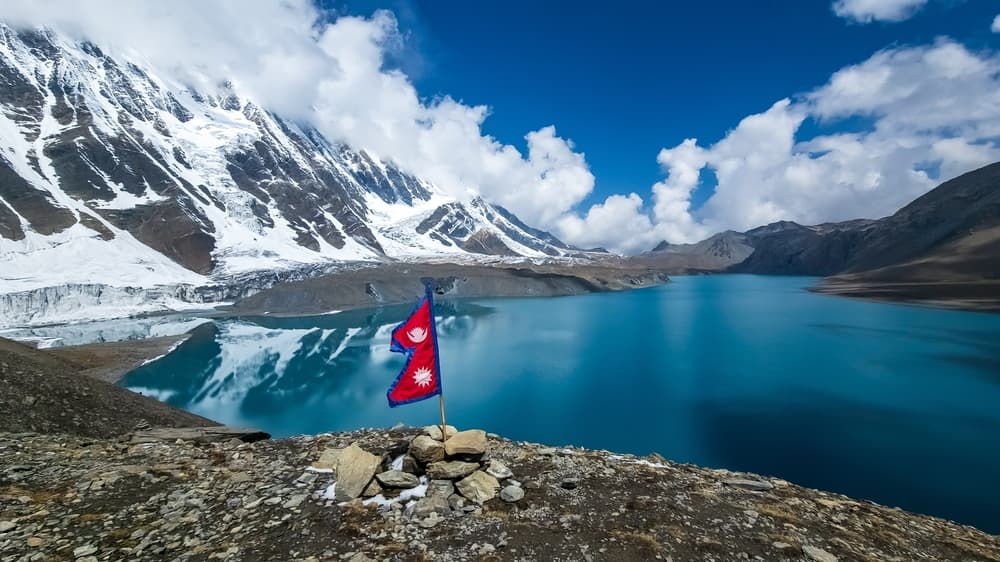
Tilicho Lake, situated at 4,919 meters, is one of the highest lakes in the world. Surrounded by snow-capped peaks, it's a breathtaking destination for trekkers seeking adventure beyond the main circuit.
- Stop 09Nepal
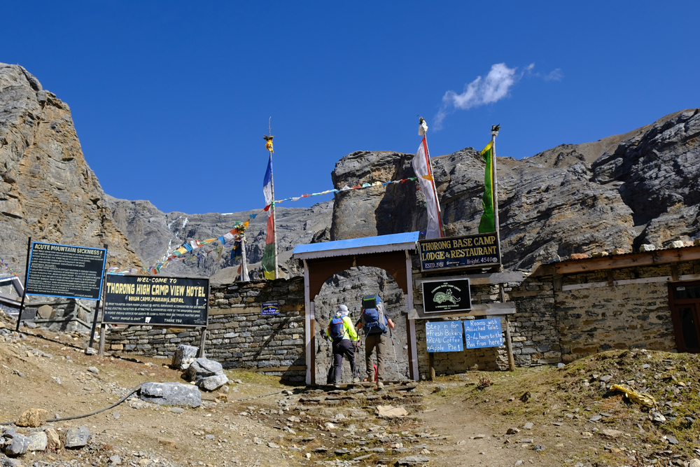
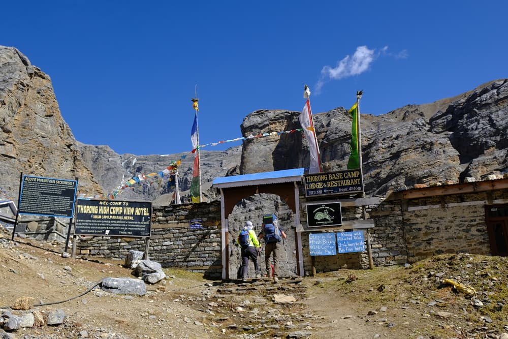
Thorong Phedi serves as the base camp for the ascent to Thorong La Pass. It's a crucial stop for rest and acclimatization before tackling the challenging pass.
- Stop 10Nepal
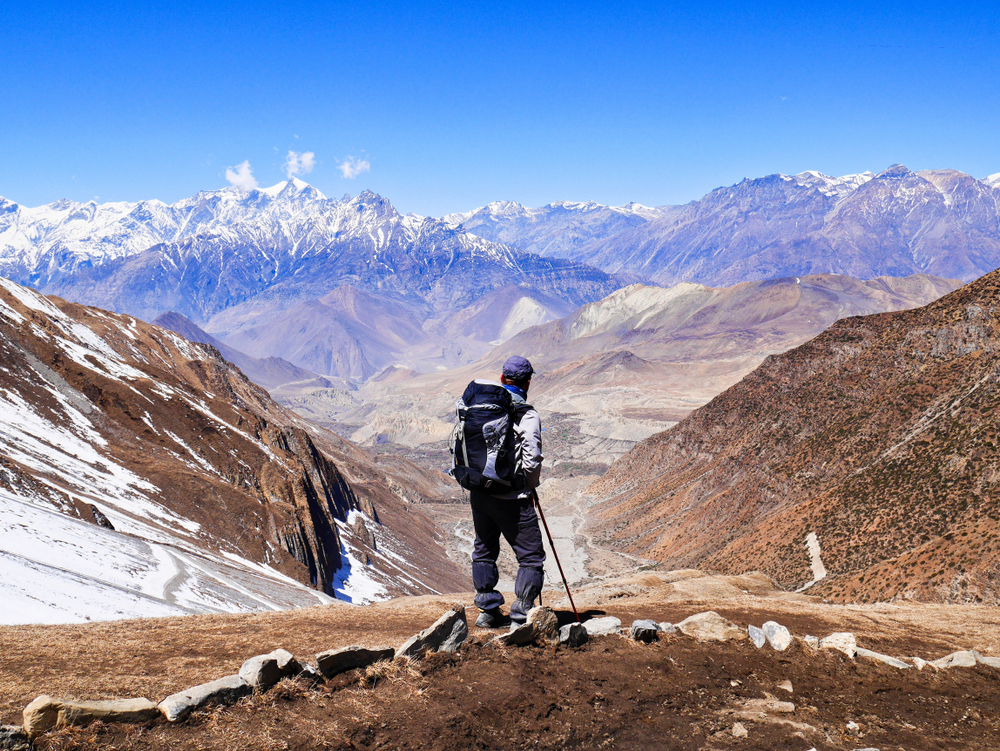
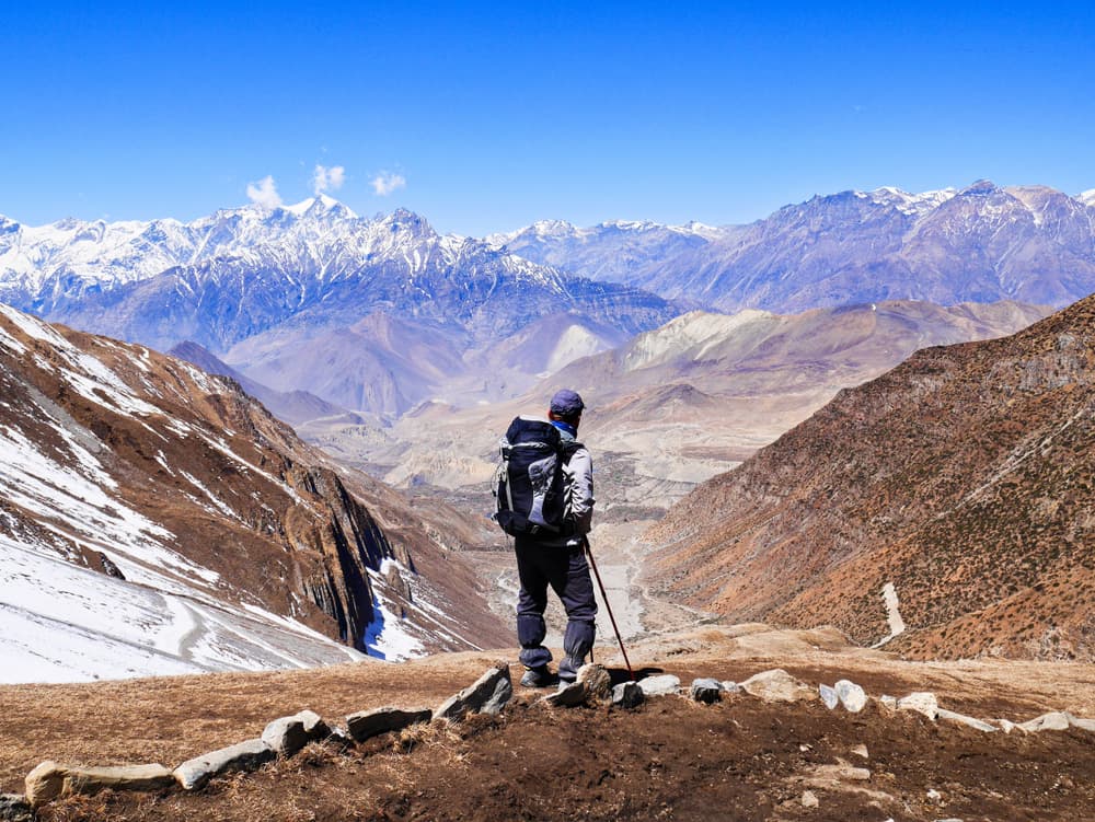
Thorong La Pass is one of the highest trekking passes in the world, sitting at 5,416 meters. It's the most physically demanding section of the Annapurna Circuit, connecting the Manang and Mustang districts and offering panoramic views of snow-covered peaks and remote valleys.
- Stop 11Nepal
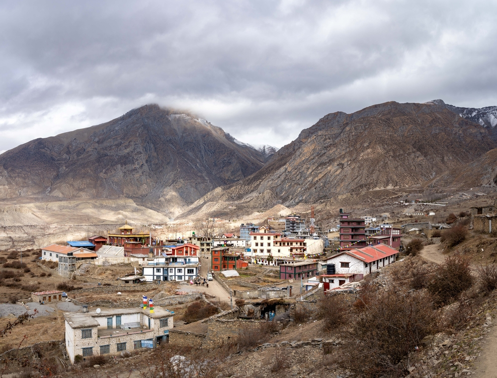
Muktinath is a sacred site for both Hindus and Buddhists, located in the Mustang district. Pilgrims and trekkers alike visit the temple complex, famous for its eternal flame and 108 water spouts. The village also marks a transition from alpine to arid Tibetan-style landscapes.
- Stop 12Nepal
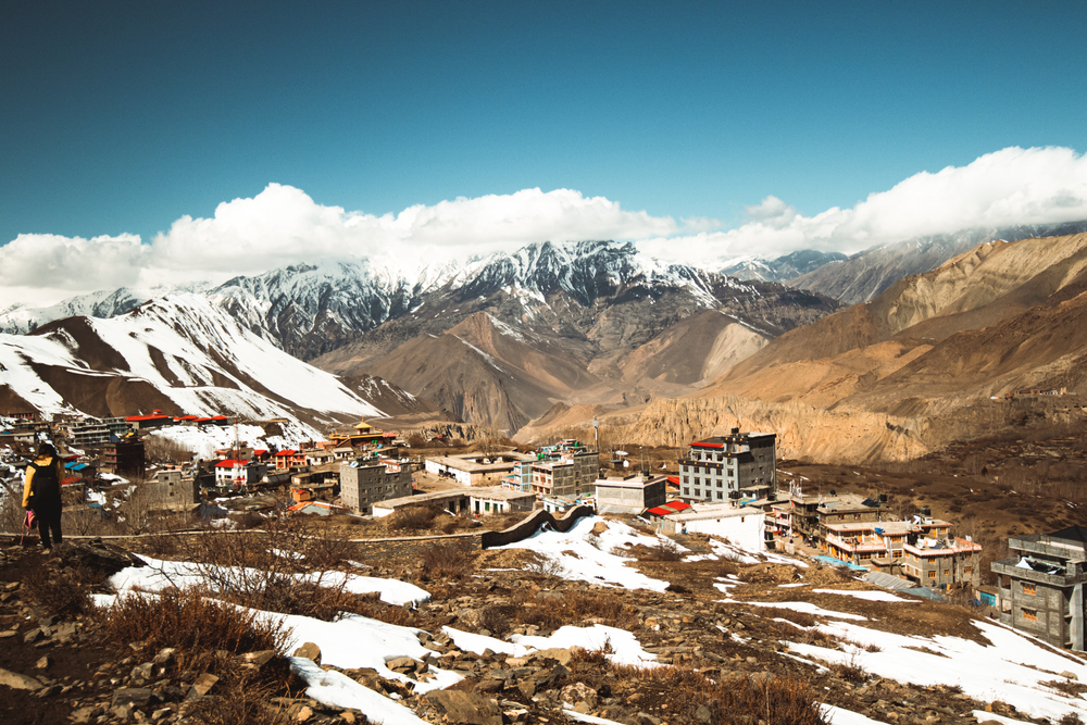
Jomsom is a major hub in the Mustang region, with an airport, markets, and hotels. It serves as a common endpoint or transition point for trekkers continuing to other routes like Upper Mustang or flying back to Pokhara.
- Stop 13Nepal
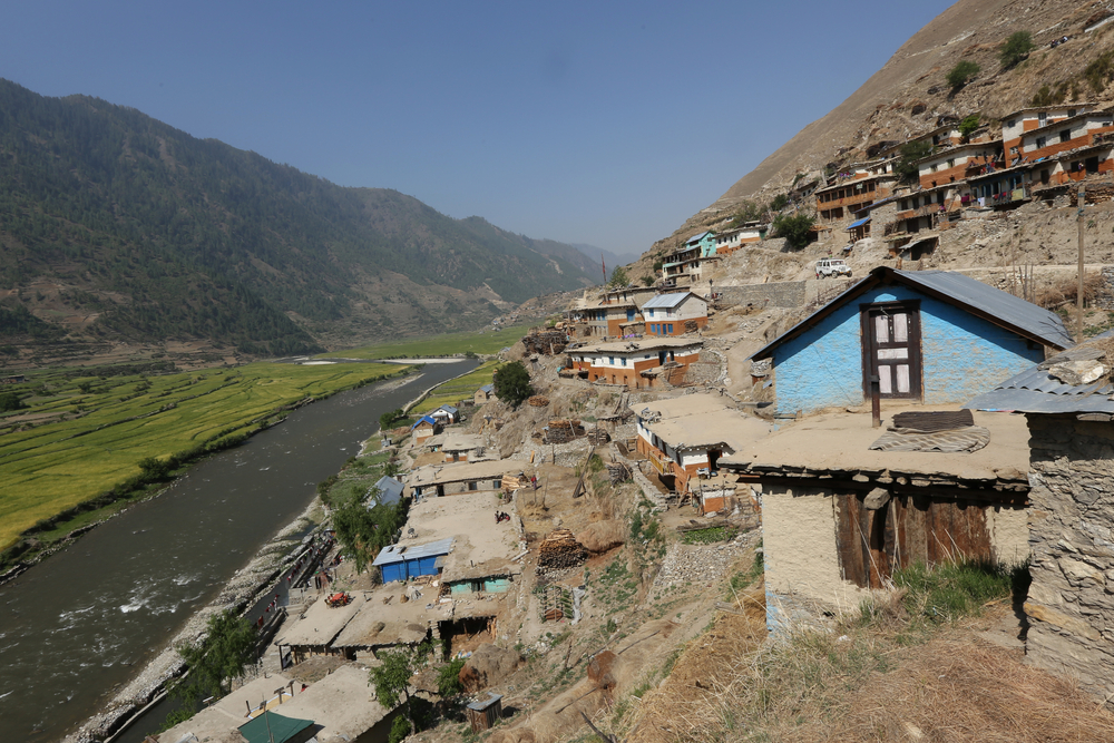
Tatopani, meaning “hot water” in Nepali, is famous for its natural hot springs. It’s a popular spot for trekkers to relax after the harder sections of the trek. The village sits beside the Kali Gandaki River and marks the beginning of greener, warmer terrain.
You can explore the itinerary while it loads.
Dotted lines show itinerary order, not a trail or driving route. Select a pin to read its place in the itinerary.
Statistics and Elevation Profile
End: Ghorepani Highest point: Thorong La Pass at 5,416m (17,769 ft), offering breathtaking panoramic views across the Annapurna and Dhaulagiri ranges The classic Annapurna Circuit route spans approximately 230km (143 miles) when including approach walks, with significant elevation variation making it a challenging undertaking for experienced trekkers. Start: Besisahar (760m / 2,493ft) or Bhulbhule (840m / 2,756ft) The trek involves substantial elevation gain and loss, with daily hiking typically ranging from 4-8 hours. Trekkers spend significant time above 3,000 meters, requiring proper acclimatization. The route's circular nature means you experience dramatically different climates and landscapes, from lush monsoon-fed valleys to arid high-altitude terrain resembling the Tibetan plateau.
Highlights and Landmarks
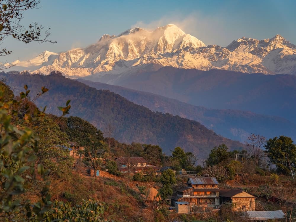
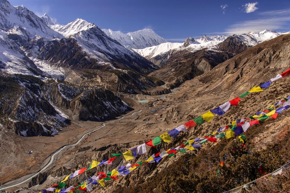
The Annapurna Circuit showcases Nepal's most diverse and spectacular mountain scenery. The trek offers close-quarters views of the Annapurna Massif (Annapurna I-IV), Dhaulagiri, Machhapuchhre (Fishtail), Manaslu, Gangapurna, Tilicho Peak, Pisang Peak, and numerous other peaks ranging from 6,000-8,000 meters. The famous Thorong La Pass represents the trek's climactic challenge and reward, providing 360-degree views of snow-capped giants stretching to the horizon. Manang village serves as a crucial acclimatization stop, surrounded by dramatic peaks and offering insight into traditional Tibetan Buddhist culture. The ancient pilgrimage site of Muktinath holds deep religious significance for both Hindus and Buddhists, featuring eternal flames and sacred waters. Tilicho Lake, often included as a side trip, ranks among the world's highest lakes at 4,919 meters. The Kali Gandaki Gorge, claimed to be the world's deepest gorge, provides a dramatic finale as trekkers descend through changing vegetation zones. Traditional villages like Pisang, Braga, and Kagbeni preserve ancient architecture and customs dating back centuries.
Culture and History
The Annapurna Circuit traverses Nepal's remarkable cultural diversity, passing through regions inhabited by various ethnic groups, including Gurungs, Manangis, Thakalis, and Tibetan communities. This route follows ancient trans-Himalayan trade paths that connected Tibet with lowland Nepal and India, facilitating the exchange of goods, ideas, and cultures for over a millennium. The region's Buddhist heritage manifests in countless monasteries, prayer wheels, mani walls, and chortens that dot the landscape. Traditional Tibetan Buddhism remains deeply embedded in daily life, particularly in higher villages where the influence of Tibetan culture grows stronger with altitude. Ancient gompas (monasteries) like those in Braga and Manang continue to serve as spiritual centers for local communities. Local communities have adapted to extreme mountain environments through centuries of innovation, developing unique agricultural techniques, architectural styles, and social systems. Traditional practices include yak herding, barley cultivation at high altitudes, and seasonal migration patterns that maximize resource utilization across different elevation zones.
Geology
The Annapurna region represents one of Earth's most geologically active and diverse areas, showcasing the ongoing collision between the Indian and Eurasian tectonic plates that continues to thrust the Himalayas skyward. This dramatic geological activity has created the world's most extreme topography, with elevation differences of over 6,000 meters occurring within relatively short horizontal distances. Glacial activity has carved the dramatic valleys and cirques visible throughout the trek, while ongoing erosion and weathering continue to shape the landscape. The region's geological instability occasionally manifests in earthquakes and landslides, reminding trekkers of the dynamic forces that created these mountains. The varying rock types and mineral compositions create distinct soil conditions that support different vegetation communities, contributing to the trek's remarkable biological diversity spanning multiple climate zones within a single journey.
Essential Gear
Essential gear for the Annapurna Circuit requires careful consideration of extreme weather variations and challenging terrain. Sturdy, broken-in hiking boots with excellent ankle support prove crucial for rocky trails, river crossings, and potentially icy conditions at high passes. Trekking poles become invaluable for steep ascents and descents, particularly during the challenging Thorong La crossing. Weather protection must accommodate everything from tropical heat to sub-zero temperatures and sudden storms. A comprehensive layering system including moisture-wicking base layers, insulating mid-layers, and waterproof outer shells, allows adaptation to rapidly changing conditions. A warm sleeping bag rated to -10°C (14°F) proves essential, as teahouse blankets may be inadequate at higher elevations. Safety equipment includes comprehensive first aid supplies, emergency whistle, and altitude sickness medications. Sun protection becomes critical at high elevations where UV radiation intensifies significantly, causing severe burns without proper precaution. Water purification tablets or filtration systems ensure safe drinking water from various sources along the route.
Accommodation
The Annapurna Circuit relies on an extensive network of teahouses (lodges) that provide basic accommodation and meals throughout the route. These family-run establishments offer simple rooms with twin beds, shared bathrooms, and communal dining areas where trekkers gather each evening. Accommodation costs typically range from $3-15 USD per night, increasing with altitude and remoteness. Popular teahouse stops include those in Manang, Yak Kharka, Thorong Phedi, Muktinath, Marpha, and Tadapani, each offering unique character and spectacular mountain views. Room availability can become limited during peak seasons (October-November and March-May), making advance booking advisable for popular stops, though many teahouses don't accept reservations. Higher-altitude accommodations often lack heating, electricity, and hot water, requiring trekkers to adapt to basic conditions. Some teahouses offer charging facilities for electronic devices, typically for a small fee. Blankets are provided, but bringing a sleeping bag ensures warmth and hygiene at higher elevations.
Food and Water
Teahouses along the Annapurna Circuit serve traditional Nepali meals alongside international dishes adapted for trekkers' tastes. The staple dal bhat (rice with lentil soup, vegetables, and pickles) provides excellent nutrition and energy for long hiking days, often available in unlimited quantities. Popular alternatives include momos (dumplings), noodle soups, pasta, and pancakes. Meal costs range from $3-8 USD, increasing with altitude as transportation becomes more challenging. Many teahouses offer set menus that provide better value than ordering individual items. Local specialties like yak cheese, apples from Marpha, and traditional Tibetan bread add cultural flavor to the dining experience. Water sources include teahouses, natural springs, and streams, though all water should be purified before consumption due to potential contamination. Boiled water is available at most teahouses for a small fee, while water purification tablets or filters provide independence from commercial sources. Staying well-hydrated becomes crucial at high altitudes where dehydration accelerates altitude sickness symptoms.
Navigation
The main Annapurna Circuit trail is generally well-marked with stone cairns, painted blazes, and occasional signposts indicating directions and distances to major stops. However, route-finding can become challenging in poor weather conditions, early morning darkness, or areas where multiple trails converge. Essential maps include the Nepa Maps series covering the Annapurna region at 1:125,000 scale, providing detailed topographic information and teahouse locations. Digital mapping applications like Maps.me, Gaia GPS, or offline Google Maps offer GPS tracking capability essential for areas with limited visibility or confusing trail junctions.
Safety and Risk Management
High-altitude trekking presents significant risks requiring constant awareness and proper preparation. Acute Mountain Sickness (AMS) poses the primary threat, with symptoms potentially developing rapidly above 3,000 meters. Proper acclimatization schedules, recognition of symptoms, and descent protocols can prevent serious complications. Weather conditions change rapidly in the Himalayas, with afternoon thunderstorms, sudden temperature drops, and high winds creating dangerous situations. The Thorong La Pass crossing proves particularly challenging, with early morning starts essential to avoid afternoon weather deterioration. Emergency shelter and warm clothing become crucial if the weather forces unexpected delays. Landslides and rockfall present ongoing hazards, particularly during the monsoon season and after earthquakes. Stream crossings can become dangerous during heavy rainfall, requiring route modifications or delays until conditions improve. Remote locations mean evacuation for serious injuries or illness can be expensive and time-consuming. Communication remains limited in many areas, making satellite communication devices valuable for emergency situations. Travel insurance covering high-altitude trekking and helicopter evacuation proves essential, as rescue costs can exceed $10,000 USD.
Permits and Fees
The Annapurna Circuit requires two permits: the Annapurna Conservation Area Permit (ACAP) and the Trekkers Information Management System (TIMS) card. However, recent sources indicate some confusion about current requirements, with some suggesting only the ACAP is needed as of 2023. The ACAP costs $30 USD for foreign nationals and grants entry into the protected Annapurna Conservation Area. This permit can be obtained in Kathmandu at the Nepal Tourism Board office or at checkpoints along the route, though advance acquisition prevents delays. The TIMS card, if required, costs $10 USD for independent trekkers and $20 USD for those trekking through agencies. Transportation costs include bus fares from Kathmandu to Besisahar (approximately $3-5 USD) and from Nayapul to Pokhara after completing the trek. Local transportation between villages and alternative routes adds to overall costs but provides flexibility in case of weather delays or route changes. Budget planning should account for permits, accommodation, meals, transportation, gear rental if needed, and emergency contingencies for weather delays or altitude-related issues. Daily costs typically range from $25-40 USD depending on accommodation choices and dining preferences, with higher costs at increased elevations reflecting transportation challenges to remote locations.
Annapurna Circuit: common questions
How long is Annapurna Circuit?
Annapurna Circuit covers 160 km in total.
How long does Annapurna Circuit take to complete?
Most people complete Annapurna Circuit in about 14-20 days.
When is the best time to do Annapurna Circuit?
The best season for Annapurna Circuit is Summer, Spring, Fall.
How many checkpoints does Annapurna Circuit have?
Annapurna Circuit has 13 checkpoints to log on the way to finishing it.
Plan your journey.
Keep this journey for later, or share it with someone you would like to go with.