

Milngavie to Balmaha
32 km
Starting from the Milngavie Obelisk, this section gently weaves through woodland paths, farmland, and moor before tackling Conic Hill—an early highlight offering panoramic views across Loch Lomond and its islands.
Scotland, United Kingdom

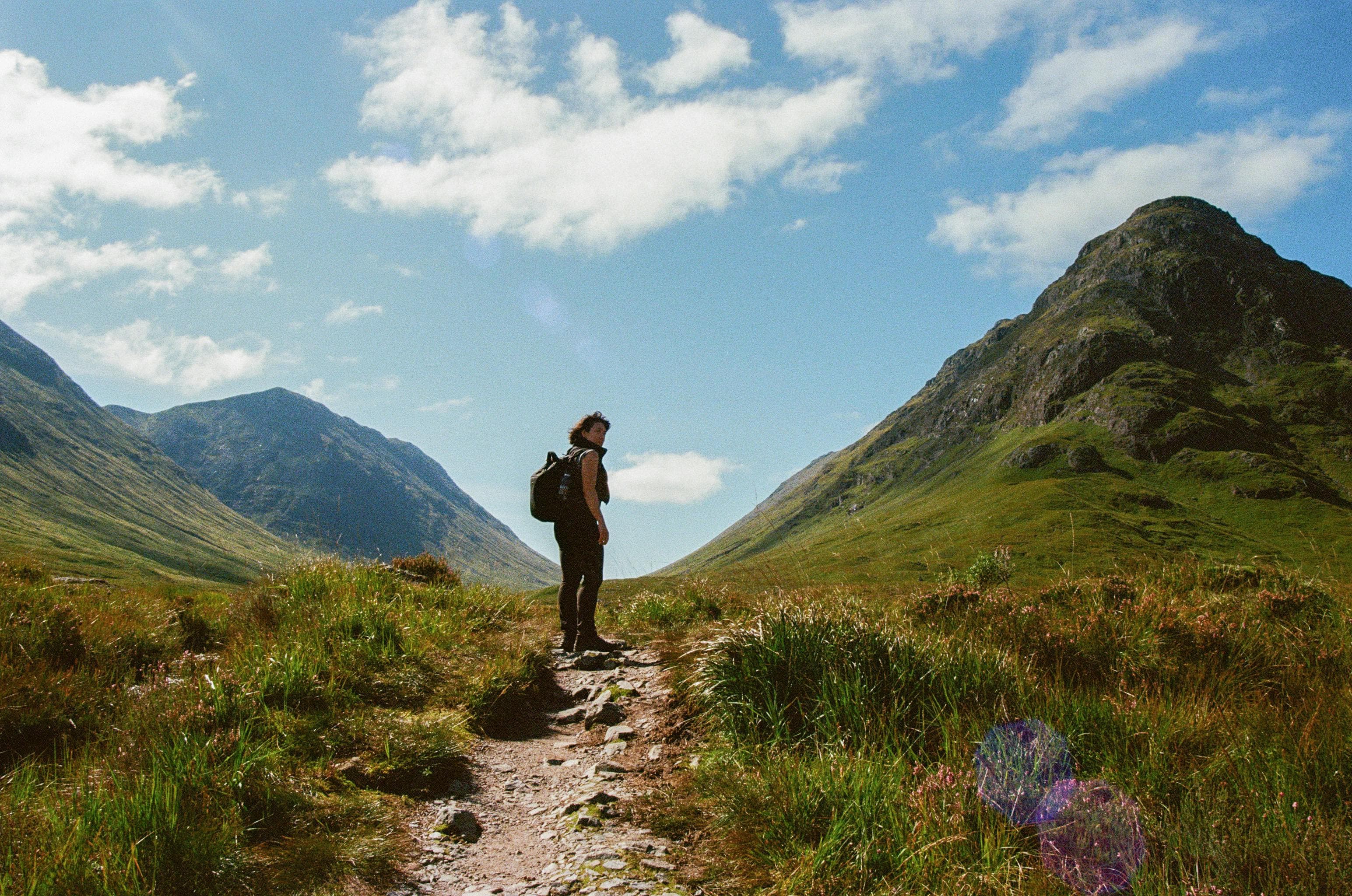
The West Highland Way stands as Scotland's premier long-distance hiking trail, offering an extraordinary 96-mile journey from Milngavie near Glasgow to Fort William at the foot of Ben Nevis. This iconic route showcases the dramatic transition from Scotland's gentle Lowlands to the rugged Highland wilderness, taking hikers through some of the most spectacular landscapes in the British Isles. The trail winds along the pristine shores of Loch Lomond, crosses the remote wilderness of Rannoch Moor, and culminates with the challenging ascent of the Devil's Staircase. Established in 1980 as Scotland's first official long-distance footpath, the West Highland Way attracts thousands of walkers annually who seek to experience authentic Highland culture, diverse ecosystems, and breathtaking mountain vistas. The route passes through charming Scottish villages, ancient forests, and dramatic mountain passes, offering hikers the perfect introduction to Scotland's outdoor heritage while providing access to traditional Highland hospitality and rich cultural experiences throughout the journey.
Quick facts
Loading your progress…
Starting from the Milngavie Obelisk, this section gently weaves through woodland paths, farmland, and moor before tackling Conic Hill—an early highlight offering panoramic views across Loch Lomond and its islands.
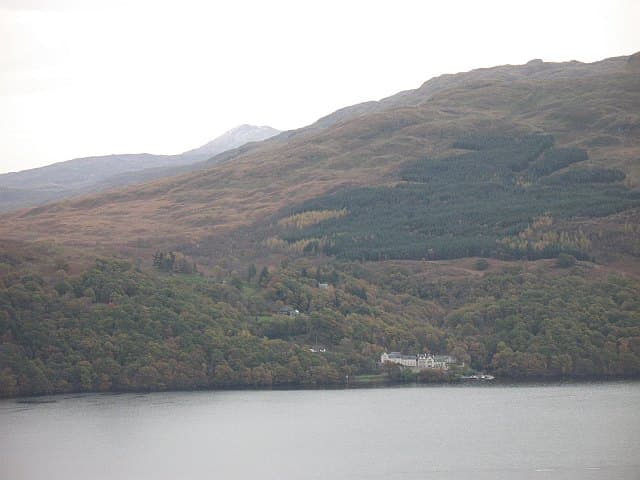
A shoreline walk filled with lochside beauty and forest shade, this stretch becomes increasingly technical after Rowardennan, with exposed roots and rocks as the path narrows toward the isolated Inversnaid Hotel.
This challenging yet rewarding section begins with rocky lakeside scrambles and transitions into open glens and steep ridges. The vastness of the Highlands begins to open up beyond the forested hills.
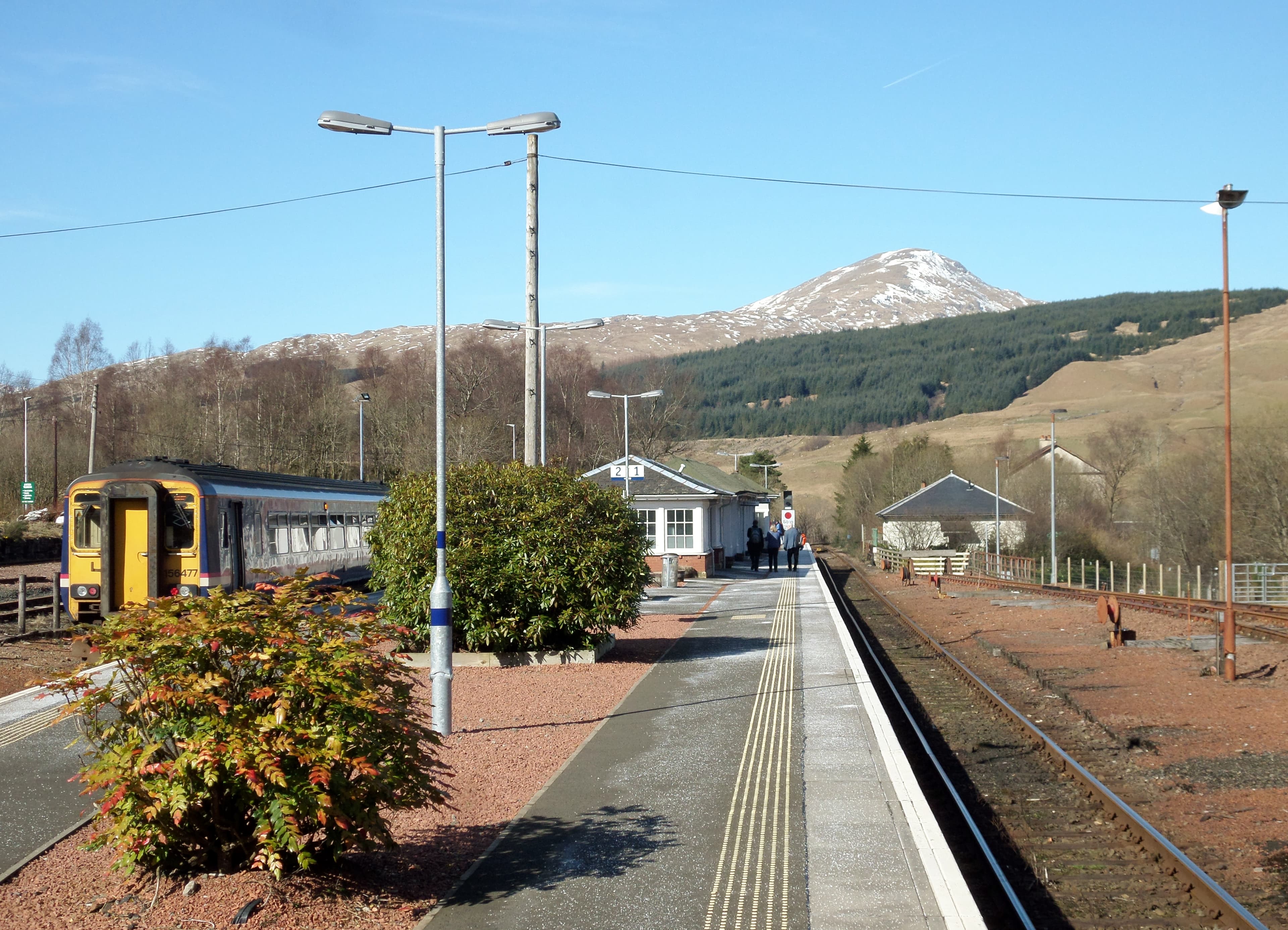
This scenic day rises into highland pine forest, skirts the shoulder of Beinn Odhar, and follows the ancient military road through Tyndrum and Bridge of Orchy before arriving in tranquil Inveroran.
A remote and exposed trek over ancient paths and desolate moorland, this stretch demands stamina. The Devil’s Staircase is steep but offers stunning views before the descent into Kinlochleven’s wooded glen.
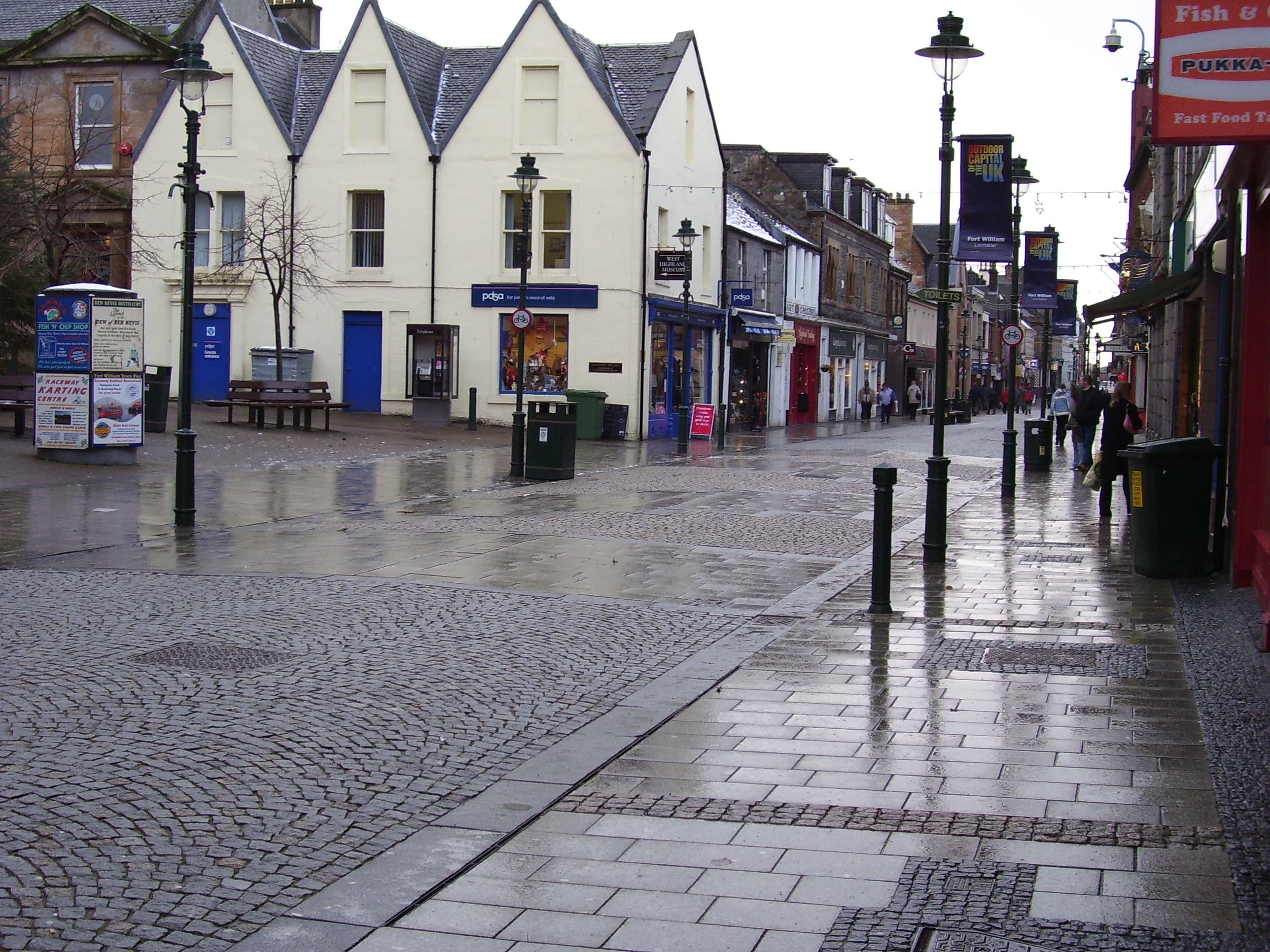
This stage marks a triumphant finish, with rugged paths across Lairigmor and views of Britain’s highest peak. The descent into Glen Nevis and Fort William is bittersweet for weary walkers.
The West Highland Way traverses some of Scotland's most geologically fascinating terrain, telling the story of ancient mountain-building processes and glacial sculpting that shaped the Highlands over 400 million years ago. The route crosses the Highland Boundary Fault at Conic Hill, marking the dramatic transition from lowland sedimentary rocks to ancient metamorphic highlands. Southern sections feature schists and sandstones deposited in ancient seas, while northern Highland portions consist of complex metamorphic rocks including gneiss, granite, and quartzite that form Scotland's mountain backbone. Glacial activity during the last ice age carved the deep valleys, pristine lochs, and distinctive U-shaped profiles visible throughout the route. Historically, the trail follows paths used for centuries by Highland clans, cattle drovers, and military forces. Ancient settlements, abandoned crofts, and historical battlefields dot the landscape, telling stories of Highland clearances, clan warfare, and Scotland's social transformation. The route's establishment in 1980 represented Scotland's commitment to preserving public access to wilderness areas while supporting rural communities through sustainable tourism, demonstrating how outdoor recreation and heritage conservation work together.
Essential gear for the West Highland Way requires comprehensive weather protection due to Scotland's notoriously changeable conditions. Waterproof jackets and trousers are absolutely essential, along with insulating layers for elevation changes and seasonal variations. Quality waterproof boots with ankle support prove crucial for varied terrain including rocky paths, muddy bog sections, and potentially icy conditions. Navigation equipment should include detailed Ordnance Survey maps, compass, and GPS devices with offline mapping capability for areas with limited mobile coverage. While the trail is generally well-marked with distinctive thistle waymarkers, backup navigation prevents problems when markers become obscured by weather or during poor visibility conditions. Safety equipment includes comprehensive first aid supplies, emergency whistle, reliable headlamp with extra batteries, and emergency shelter for unexpected weather changes. Trekking poles provide valuable stability on steep ascents and descents, particularly during challenging sections like the Devil's Staircase. West Highland Way hiking presents unique safety challenges including rapidly changing weather, remote sections with limited emergency access, and potentially challenging terrain. Weather exposure increases significantly on exposed sections like Rannoch Moor, where conditions can deteriorate rapidly and create dangerous situations.
The West Highland Way offers excellent accommodation flexibility, from camping and hostels to bed-and-breakfasts and luxury lodges. The route passes through multiple villages with varied accommodation options, though advance booking becomes essential during peak season from May through September. Camping options include official campsites at Milarrochy Bay, Rowardennan, and various sites along the route, plus wild camping opportunities following Scottish Right to Roam principles. Food and water planning benefits from regular resupply opportunities in villages and towns along the route, allowing hikers to carry minimal supplies between settlements. Regular resupply exists in communities like Drymen, Balmaha, Rowardennan, Inverarnan, Crianlarich, Tyndrum, Bridge of Orchy, and Kinlochleven, where local shops, restaurants, and pubs provide convenient services and authentic Highland culinary experiences. Water sources are generally reliable throughout the route, with numerous streams, rivers, and loch access points providing fresh water opportunities. Purification systems ensure safe consumption from natural sources, though many sections pass through populated areas where treated water is readily available. The West Highland Way requires no permits or fees for hiking access, as the route follows public rights of way under Scotland's Right to Roam legislation.
West Highland Way covers 154 km in total.
Most people complete West Highland Way in about 4-6 days.
The best season for West Highland Way is Anytime.
West Highland Way has 6 checkpoints to log on the way to finishing it.
Keep this journey for later, or share it with someone you would like to go with.