

Challenge
Tour du Mont Blanc
Chamonix-Mont-Blanc, Haute-Savoie, France
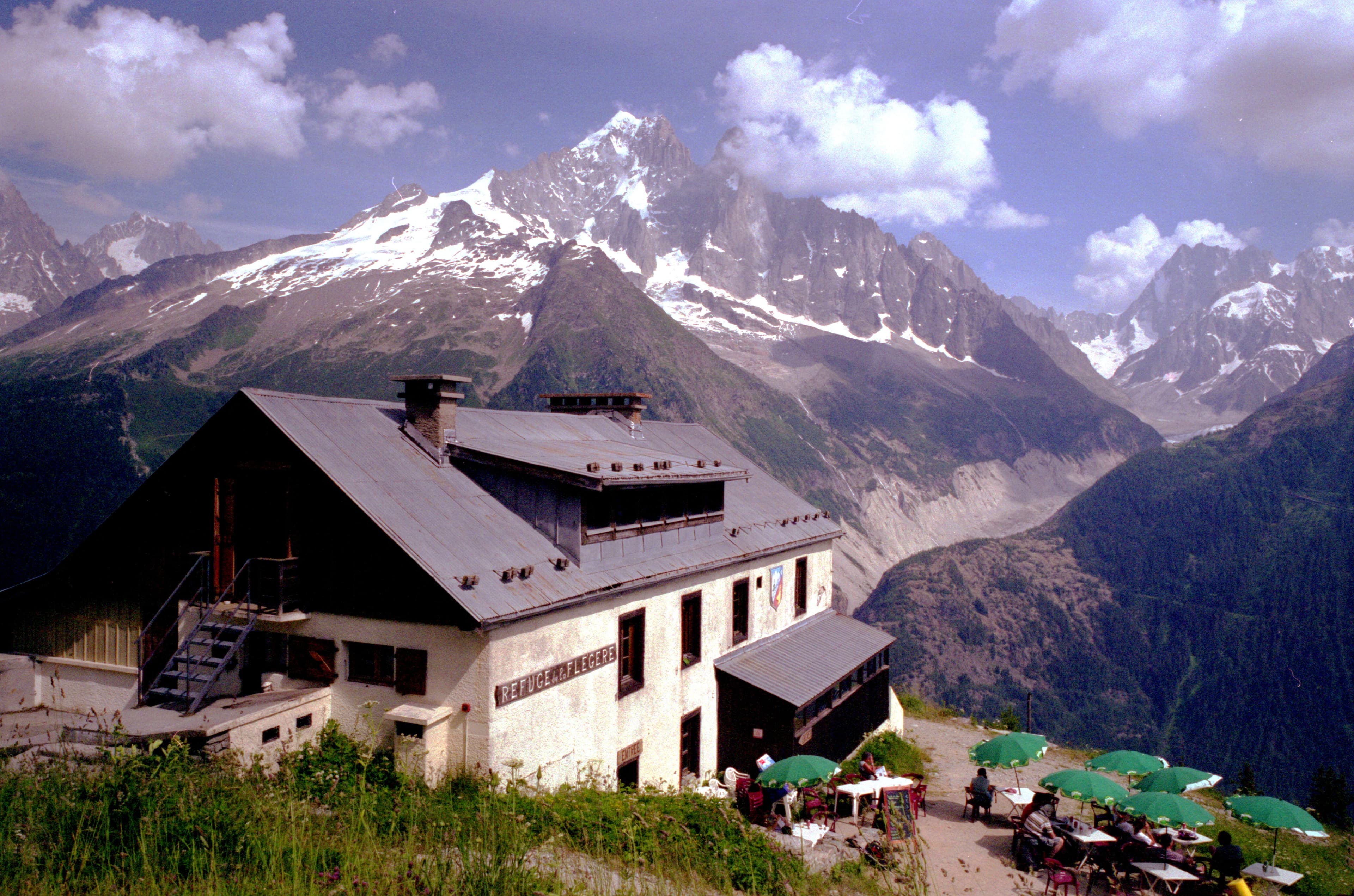
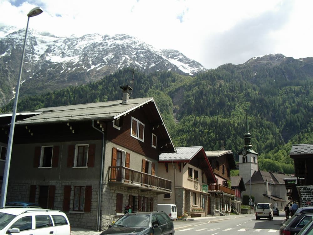
About this challenge
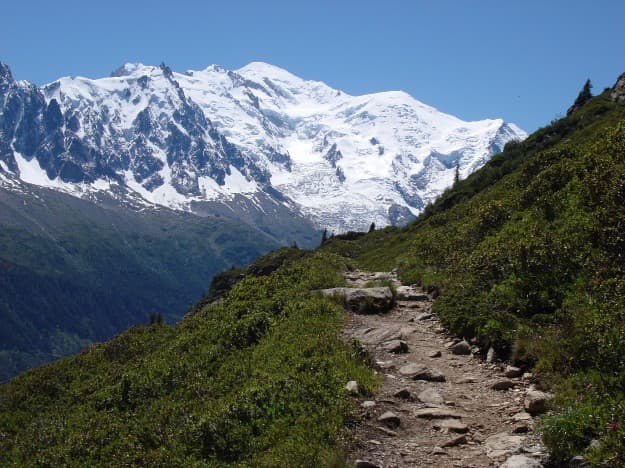
The Tour du Mont Blanc represents Europe's most iconic long-distance hiking adventure, circling the continent's highest peak through France, Italy, and Switzerland. This legendary 170-kilometer trek offers hikers an unparalleled alpine experience, combining dramatic glacial landscapes, charming mountain villages, and the renowned hospitality of alpine refuges. The route traverses three distinct cultures while maintaining stunning views of 4,000-meter peaks, ancient glaciers, and pristine alpine meadows throughout the 9-11 day journey. What sets the TMB apart is its perfect balance of challenge and accessibility. Well-marked trails connect comfortable mountain huts, eliminating the need for camping while providing authentic alpine experiences. Daily stages range from moderate valley walks to challenging high-altitude passes, accommodating various fitness levels.
Quick facts
- Checkpoints
- 11
- Distance
- 170 km
- Avg Completion
- 7-14 days
- Best Season
- Summer, Spring, Fall
Overview
The Tour du Mont Blanc (TMB) ranks among Europe's most spectacular long-distance hiking adventures, taking you on a 170-kilometer journey around the Mont Blanc massif through France, Italy, and Switzerland. This classic alpine circuit attracts thousands of hikers annually who come to experience dramatic glacial landscapes, charming mountain villages, and the legendary hospitality of alpine refuges. The complete Tour du Mont Blanc covers 170 kilometers (106 miles) with over 10,000 meters of total elevation gain, typically taking 9-11 days to complete. The trail circumnavigates Mont Blanc, Europe's highest peak at 4,809 meters, while staying at more moderate trekking altitudes. Individual stages range from moderate 12-kilometer days to challenging 20-kilometer adventures, with daily elevation gains varying from 500 to over 1,200 meters per stage. The highest points reach 2,665 meters at Col des Fours and Fenêtre d'Arpette, while the lowest point sits at approximately 1,000 meters in the Chamonix Valley. Fast hikers can complete the circuit in 7 days, while those preferring a leisurely pace might take up to 14 days. The TMB connects hikers with centuries of alpine culture, following ancient trading paths, pilgrimage routes, and smuggling trails that connected communities across political boundaries. Local communities have welcomed travelers for generations, creating the refuge system and hospitality traditions that make the TMB experience unique. Historic villages like Champex, Courmayeur, and Argentière preserve traditional alpine architecture while adapting to modern tourism demands.
History and Geology
The Tour du Mont Blanc traverses one of Europe's most geologically fascinating regions, showcasing the dramatic results of continental collision and glacial sculpting across the heart of the Alps. The Mont Blanc massif consists primarily of granite and crystalline rocks formed deep within Earth's crust and later uplifted during the Alpine orogeny that began approximately 30 million years ago. Glacial activity during multiple ice ages carved the deep U-shaped valleys that characterize the region, while continuing glacial recession provides hikers with front-row views of climate change impacts on high-altitude environments. The trail crosses various rock types from ancient metamorphic formations to younger sedimentary layers, creating diverse landscapes from granite peaks to limestone plateaus. The route follows paths with deep historical significance, connecting communities that have existed for centuries. Chamonix serves as the birthplace of extreme skiing and high-altitude climbing, while the trail showcases the evolution of alpinism from early explorers and scientists to modern mountaineering. Notable landmarks include the Aiguille du Midi cable car station, the dramatic Mer de Glace glacier, and countless 4,000-meter peaks forming the backbone of the Mont Blanc range.
Safety
Weather protection requires comprehensive layering systems capable of handling everything from summer heat in valley bottoms to near-freezing temperatures at high passes. Waterproof jackets and pants become essential during frequent afternoon thunderstorms, while insulating layers allow adaptation to elevation changes throughout each hiking day. Navigation equipment should include detailed maps for each country section, compass, and GPS devices with offline mapping capability. The TMB is generally well-marked with white-red-white blazes, but backup navigation prevents problems when trail markers become obscured. The Tour du Mont Blanc follows well-established trails marked with standard European hiking symbols. The trail is generally well-marked and maintained, though some sections require attention to trail junctions and alternative route options. Detailed guidebooks provide stage-by-stage route descriptions and current trail conditions. TMB hiking presents standard alpine risks including rapidly changing weather, potential altitude effects, and technical terrain challenges. Weather exposure increases significantly at high passes where conditions can deteriorate quickly. Lightning risk during afternoon thunderstorms necessitates early starts and flexible timing. Emergency services are highly developed throughout the region across all three countries. The Tour du Mont Blanc offers diverse accommodation options ranging from mountain refuges to luxury hotels. Mountain refuges provide the classic TMB experience with dormitory-style sleeping, communal meals, and opportunities to meet fellow hikers from around the world. These refuges typically offer dinner and breakfast packages, reducing pack weight and providing authentic alpine cuisine.
Nutrition and Other
Hotel and guesthouse options exist in larger towns like Chamonix, Courmayeur, and Champex, offering private rooms and full amenities. Many hikers combine refuge nights with occasional hotel stays to balance adventure with comfort. Advance booking becomes essential during peak season (July-August) when popular refuges fill months ahead. Food planning varies significantly based on chosen accommodation strategy. Refuge-based trekking allows minimal food carrying since most huts provide excellent dinner and breakfast options featuring regional specialties. Self-catering approaches require careful planning since resupply opportunities vary between countries and valley locations. Water sources remain generally reliable throughout the route, with mountain streams, refuges, and village fountains providing safe drinking water. Carrying capacity of 1-2 liters typically suffices for most stages. The Tour du Mont Blanc requires no special hiking permits since the trail crosses public lands. Refuge fees typically range from €35-70 per night for dormitory accommodation, with meal packages adding €35-45 per day. Hotel rates vary widely from budget options around €80-120 per night to luxury establishments exceeding €300 per night. The optimal hiking season runs from mid-June through mid-September, when high mountain passes remain snow-free and refuges operate at full capacity. July and August offer the warmest temperatures and most reliable weather, though trails become crowded. June provides excellent wildflower displays and fewer crowds, while September delivers stable weather with beautiful autumn colors and more solitude.
Featured checkpoints
Les Houches - Les Contamines
Chamonix-Mont-Blanc, Haute-Savoie, France
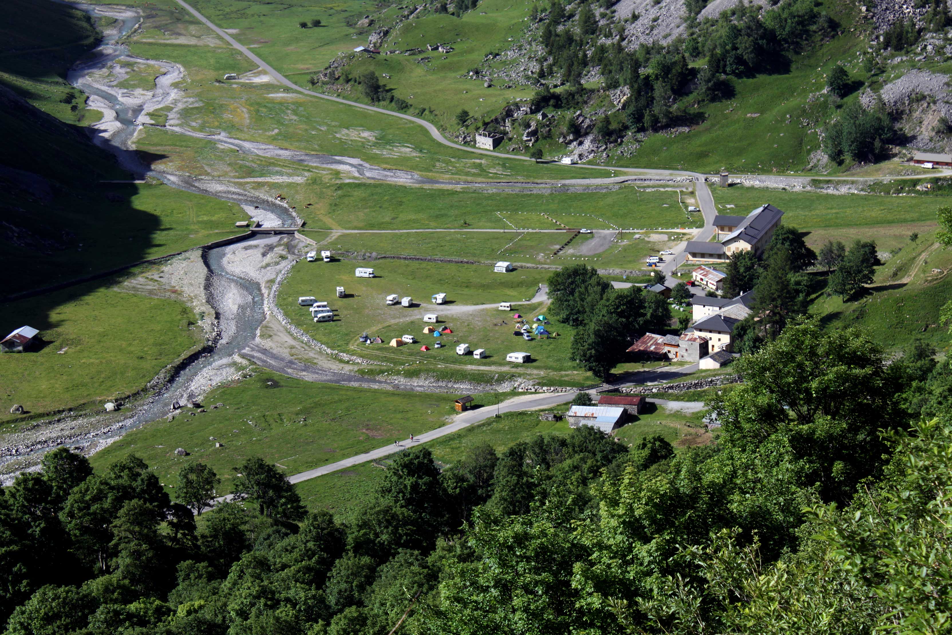
Les Contamines - Les Chapieux
Les Contamines-Montjoie, Haute-Savoie, France
Les Chapieux (FR) - Rifugio Elisabetta (IT)
Chemin Châtelain, 56120 Forges de Lanouée, France
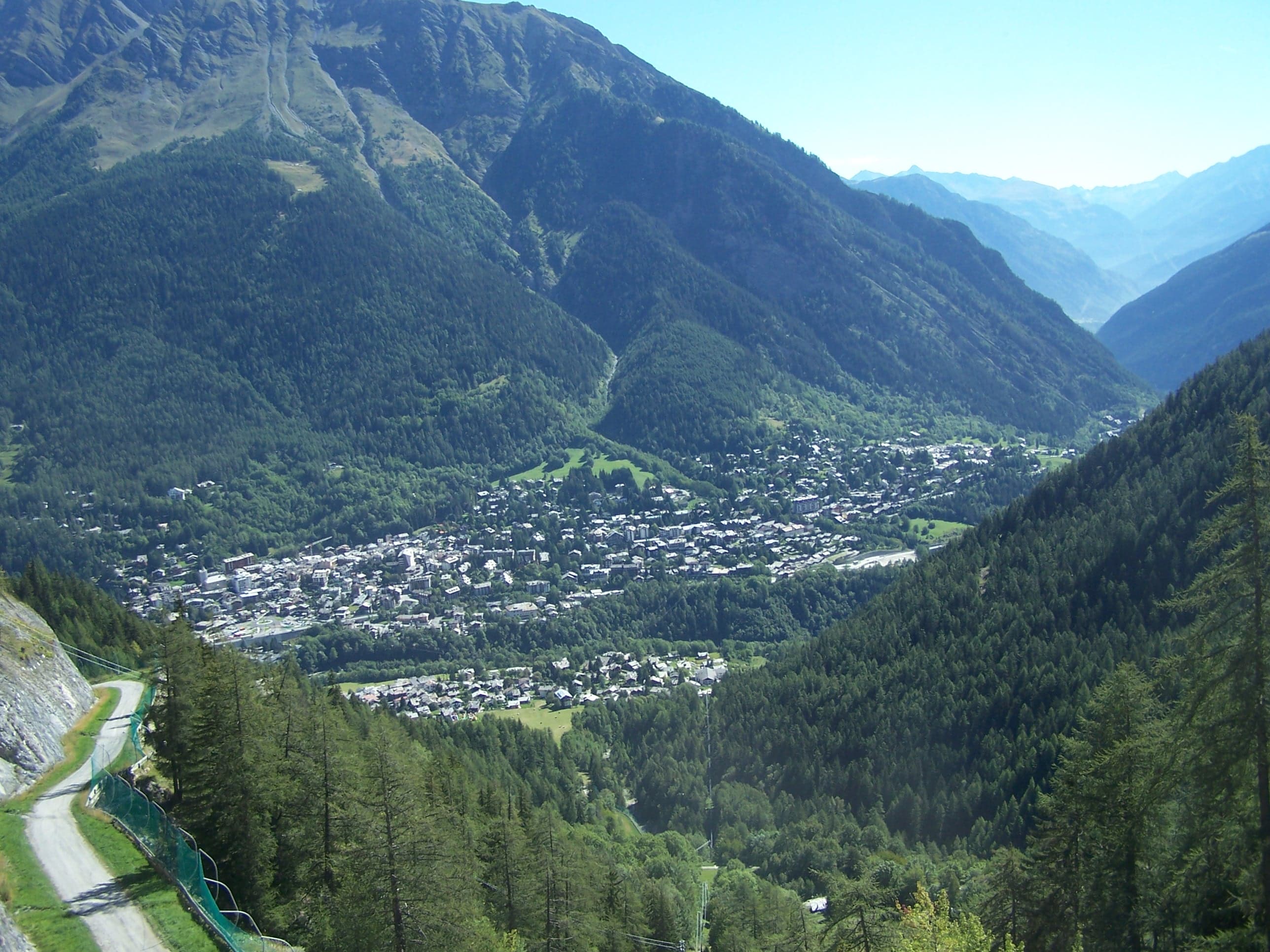
Rifugio Elisabetta - Courmayeur
Via Elisabetta I D' Inghilterra, 73100 Lecce Lecce, Italy
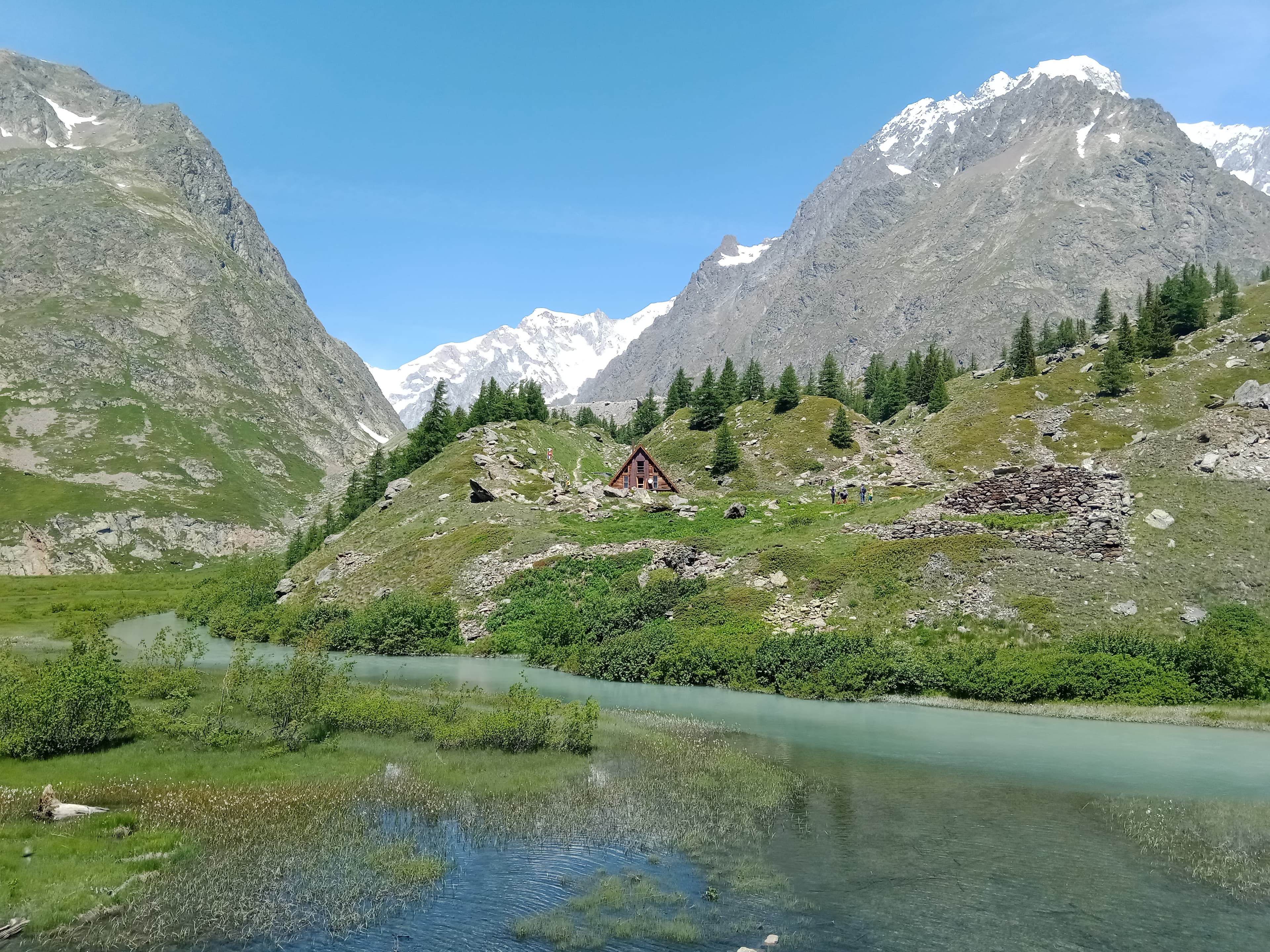
Courmayeur - Rifugio Bonatti
Courmayeur, Aosta Valley, Italy
Rifugio Bonatti (IT) - La Fouly (CH)
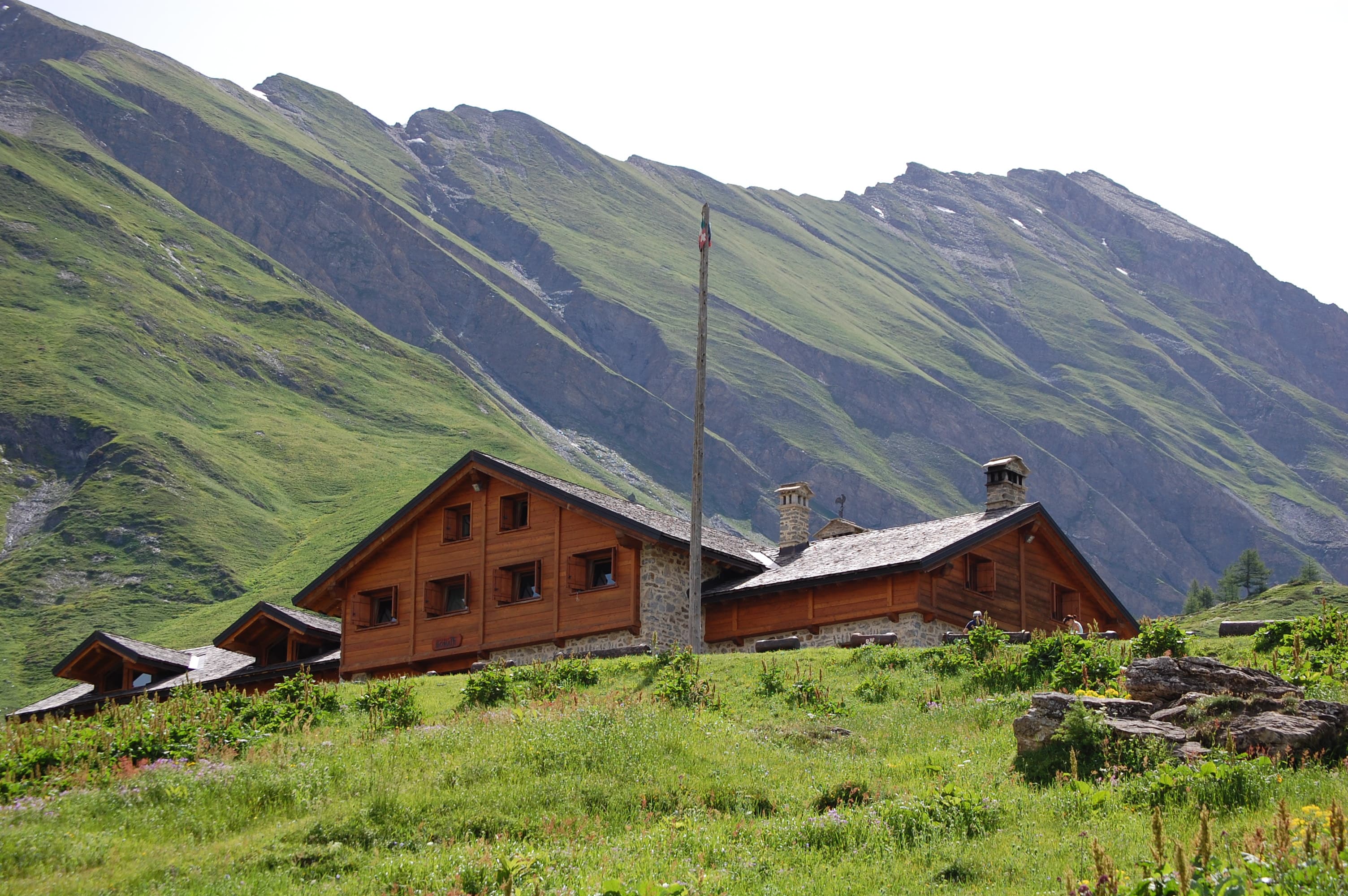
Rifugio Bonatti
All stops on this route
- 1. Les Houches - Les Contamines
- 2. Les Contamines - Les Chapieux
- 3. Les Chapieux (FR) - Rifugio Elisabetta (IT)
- 4. Rifugio Elisabetta - Courmayeur
- 5. Courmayeur - Rifugio Bonatti
- 6. Rifugio Bonatti (IT) - La Fouly (CH)
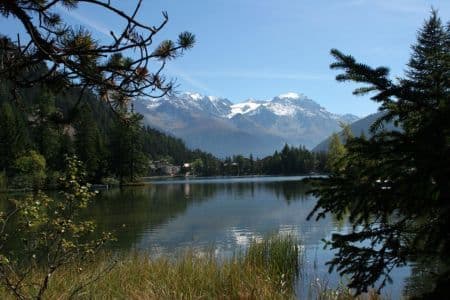
- 7. La Fouly - Champex‑Lac
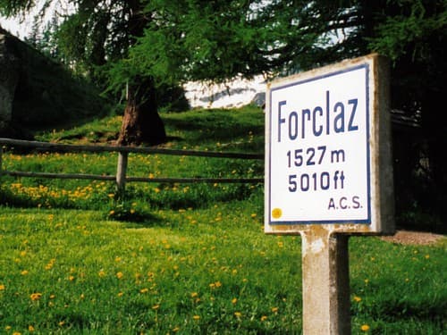
- 8. Champex‑Lac - Col de la Forclaz
- 9. Col de la Forclaz - Tré‑le‑Champ
- 10. Tré‑le‑Champ - Refuge La Flégère
- 11. Refuge La Flégère - Les Houches
Tour du Mont Blanc: common questions
How long is Tour du Mont Blanc?
Tour du Mont Blanc covers 170 km in total.
How long does Tour du Mont Blanc take to complete?
Most people complete Tour du Mont Blanc in about 7-14 days.
When is the best time to do Tour du Mont Blanc?
The best season for Tour du Mont Blanc is Summer, Spring, Fall.
How many checkpoints does Tour du Mont Blanc have?
Tour du Mont Blanc has 11 checkpoints to log on the way to finishing it.