
Peaks of the Balkans Challenge
Albania, Kosovo, Montenegro
About this journey
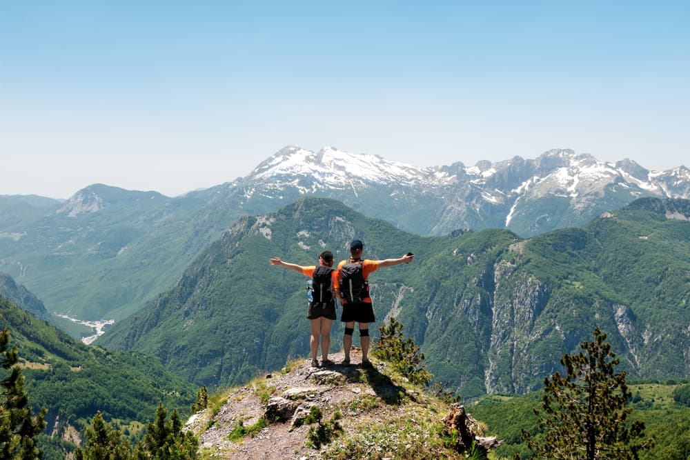
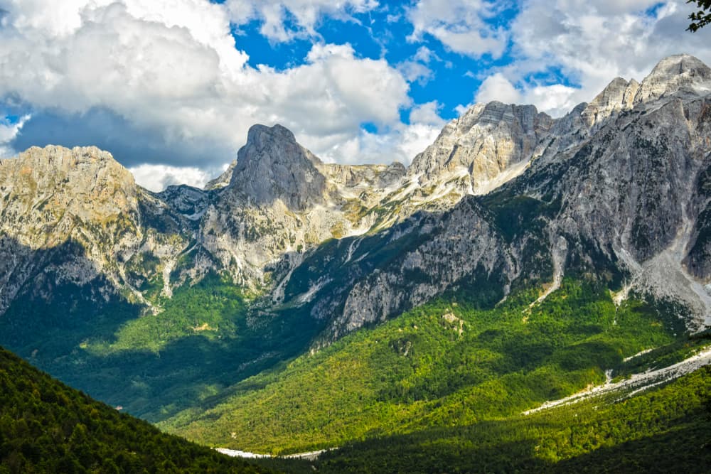
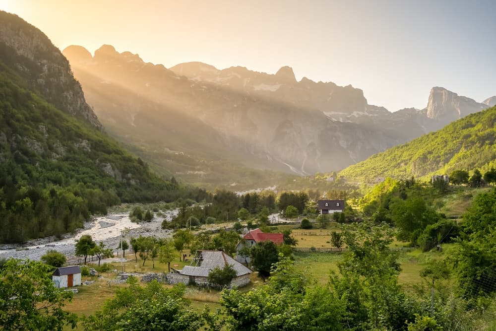
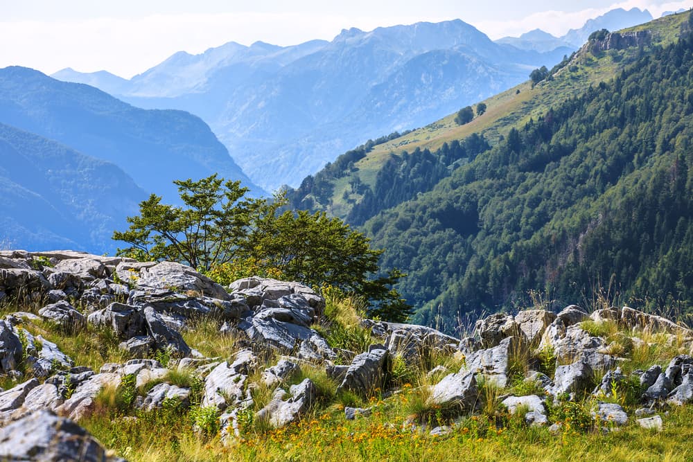
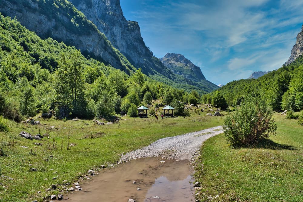
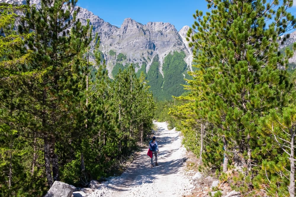
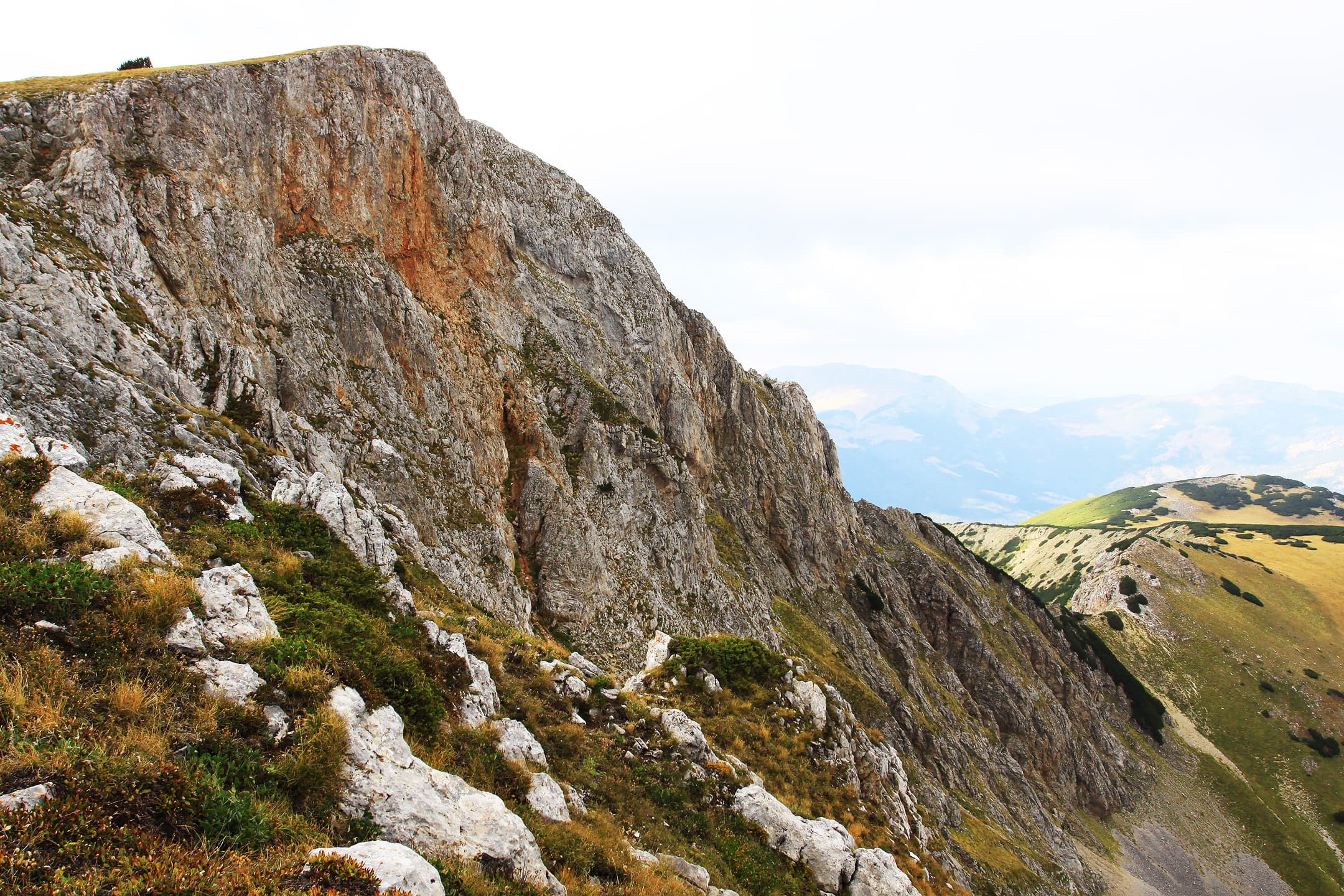
The Peaks of the Balkans Trail is a 192-kilometer (119-mile) trek that weaves through the remote mountains of Albania, Kosovo, and Montenegro. This circular route offers a perfect blend of rugged natural beauty and deep cultural immersion, taking hikers through dramatic alpine landscapes, traditional villages, and pristine valleys. Traversing high passes, lush meadows, and ancient forests, the trail reveals some of Europe’s most untouched and breathtaking scenery. Along the way, hikers are welcomed by warm local hospitality, often staying in family-run guesthouses and sampling traditional foods. The Peaks of the Balkans Trail typically takes 10 to 13 days to complete, with stages ranging from moderate to challenging in difficulty. Best tackled between late June and early October, when snow has melted from the high passes, the trail promises a true adventure for those seeking solitude, authenticity, and spectacular mountain vistas.
Quick facts
- stops
- 9located
- shape
- crossing
- high point
- 2,522meters
- total distance
- 192 km
- best season
- Summer, Spring, Fall
- avg completion
- 10-13 days
Loading your progress…
Map and itinerary
- Stop 01Montenegro
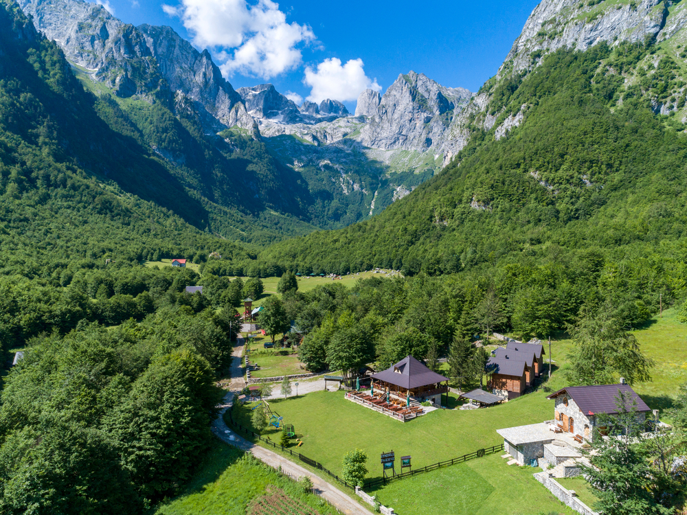
Plav, nestled in the northern part of Montenegro, is a picturesque town surrounded by stunning mountains and pristine lakes. The area offers a mix of beautiful landscapes, including alpine meadows and rugged peaks, making it an ideal destination for hiking and nature lovers.
- Stop 02Kosovo
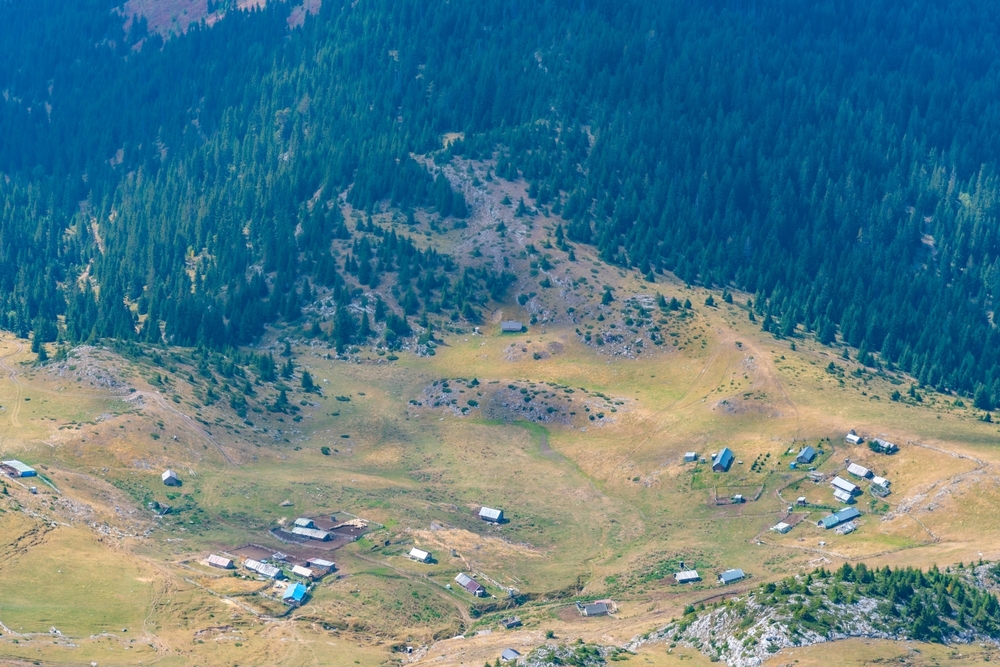
Kuqishtë is a charming village in the Rugova Mountains of Kosovo, surrounded by breathtaking natural beauty. Known for its traditional stone houses and stunning alpine views, the area offers a peaceful escape for hikers looking to explore the remote wilderness of the Accursed…
- Stop 03Kosovo
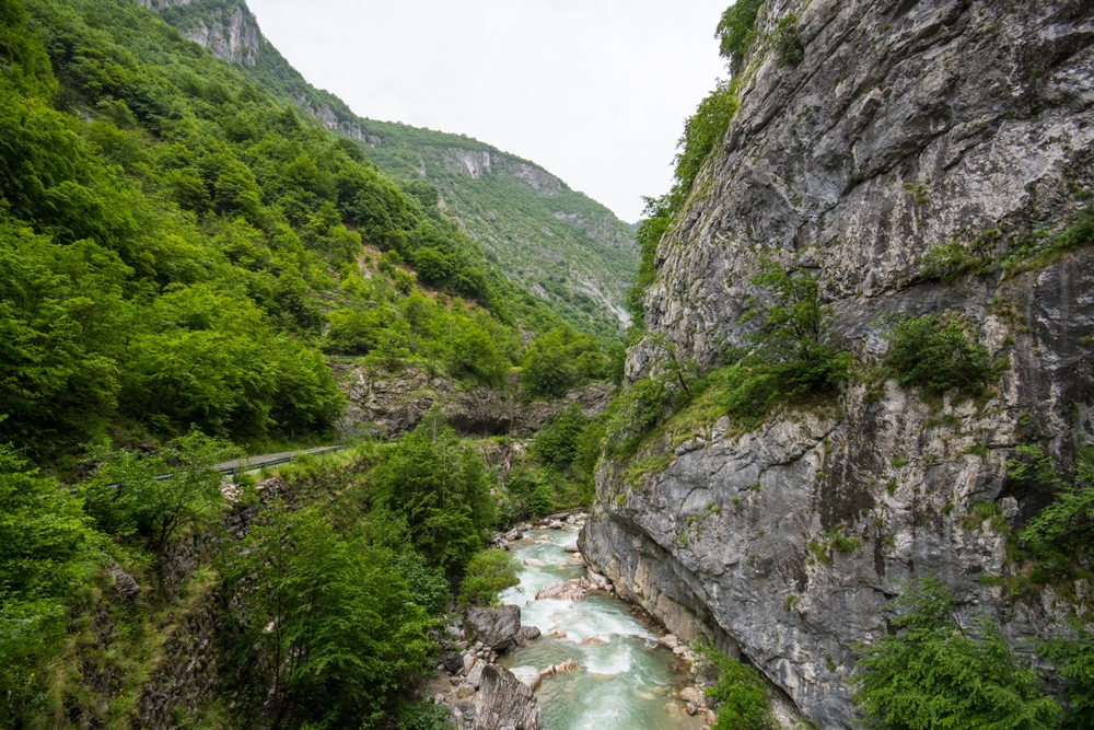
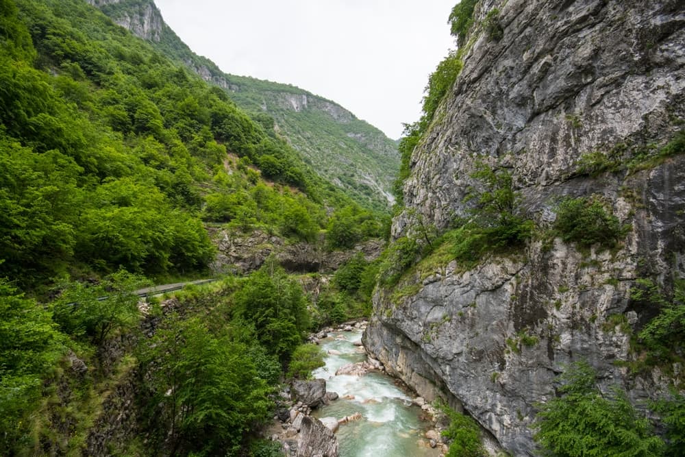
Rugova Valley is located in western Kosovo, surrounded by the towering peaks of the Accursed Mountains. The area is famous for its deep gorges, rivers, and dense forests, offering a serene hiking experience.
- Stop 04Albania
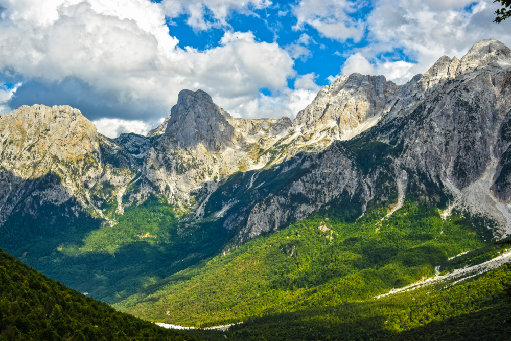
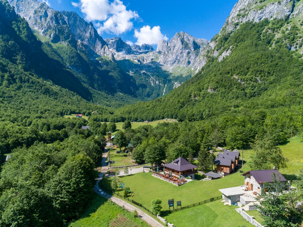
Valbona Valley is a stunning glacial valley located in northern Albania, surrounded by towering peaks and lush green meadows. It’s a top hiking destination, offering picturesque landscapes and rich biodiversity.
- Stop 05Kosovo
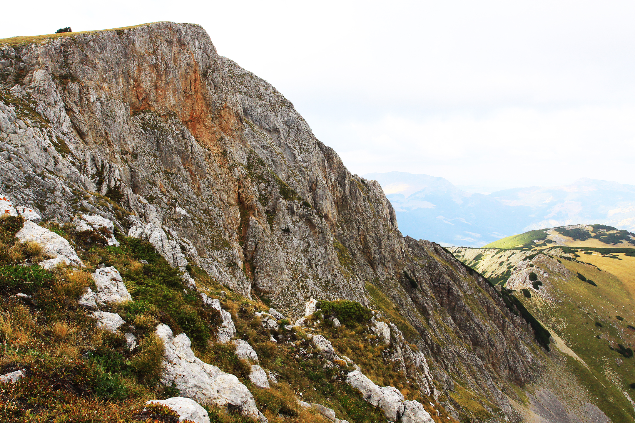
Guri Kuq (2,522 m), also known as Žuti Cvijet, is one of the highest peaks in Kosovo, located in the Rugova Mountains. The hike to the summit offers breathtaking views, alpine meadows, and rugged ridges. It’s a remote and peaceful trek, perfect for those seeking solitude and…
- Stop 06Albania
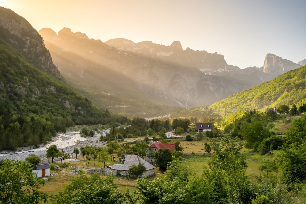
Theth is a remote village in Albania, surrounded by the dramatic peaks of the Accursed Mountains. The valley is known for its waterfalls, traditional stone houses, and pristine natural beauty.
- Stop 07Montenegro
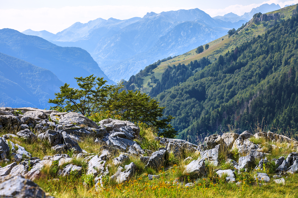
Bora (2,109 m) is a lesser-known but stunning peak in the Accursed Mountains, offering breathtaking views and a peaceful hiking experience. The trail winds through lush forests, alpine meadows, and rugged ridges, showcasing Montenegro’s untouched wilderness. Ideal for nature…
- Stop 08Montenegro
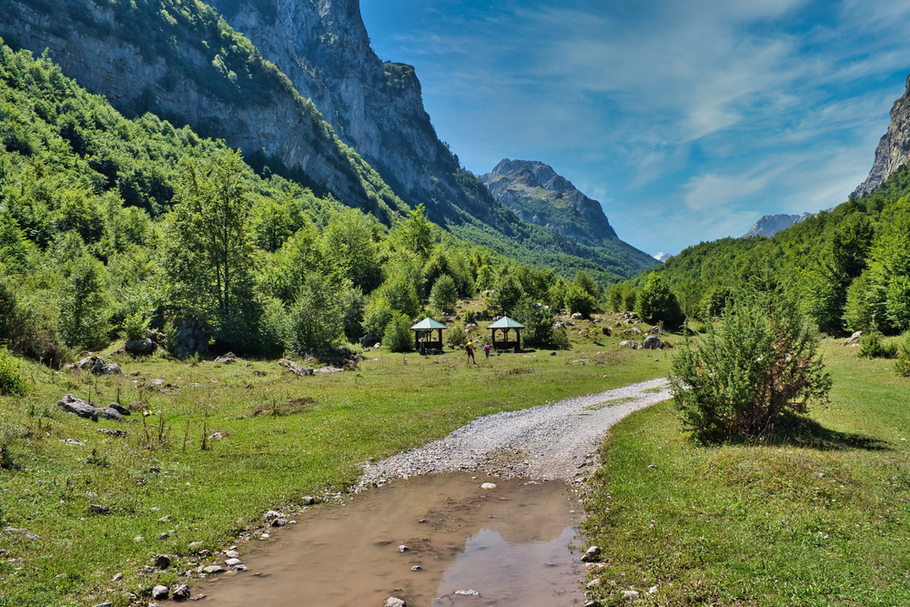
Vusanje is a small village located in the southern part of the Prokletije Mountains. It offers stunning views of the surrounding peaks and valleys, making it a hidden gem for hikers and nature enthusiasts.
- Stop 09Montenegro
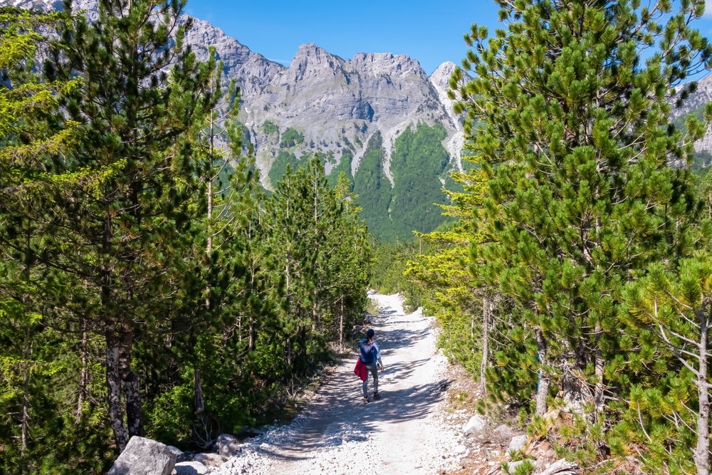
Prokletije National Park, straddling the border between Montenegro and Albania, is a rugged, wild landscape featuring dramatic peaks, deep valleys, and pristine rivers. Known for its alpine meadows, dense forests, and remote beauty, it offers some of the most breathtaking hiking…
You can explore the itinerary while it loads.
Dotted lines show itinerary order, not a trail or driving route. Select a pin to read its place in the itinerary.
Statistics and Elevation Profile
The full trail covers 192 km (119 miles) with approximately 8,000 meters (26,250 feet) of elevation gain. It is typically completed in 10 to 13 days and forms a circular route that often starts and ends in either Theth, Albania or Plav, Montenegro. The highest point is Qafa e Borit Pass at 2,300 meters (7,546 feet), and the lowest point lies in the Valbona Valley around 900 meters (2,950 feet). Daily hiking distances vary, ranging from moderate 5-hour walks to demanding 9-hour days, often with over 1,000 meters of ascent and descent. Most of the trail remains above 1,500 meters, offering a mix of alpine passes, forest paths, and highland meadows.
Highlights and Landmarks
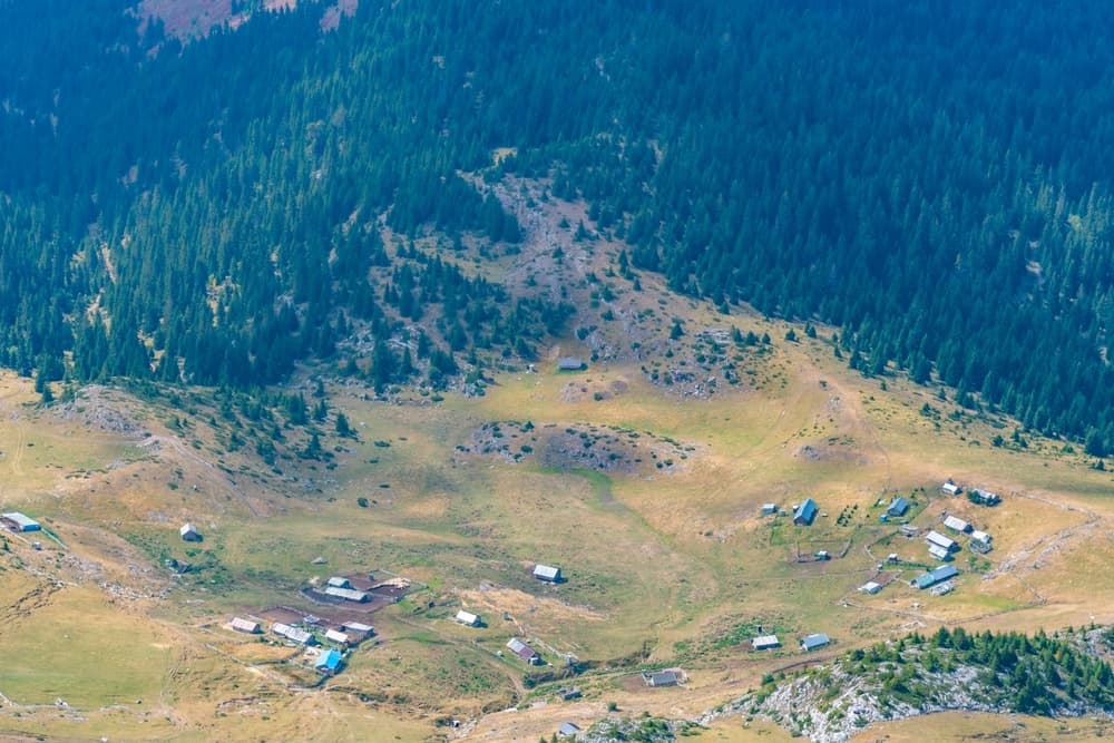
The trail winds through the heart of the Accursed Mountains, also known as the Prokletije or Bjeshkët e Nemuna, one of Europe’s most dramatic and unspoiled alpine ranges. Along the way, hikers encounter multiple high passes, including Qafa e Pejës, Qafa e Valbonës, and Qafa e Borit, each offering breathtaking views of the surrounding peaks. Valbona and Theth Valleys in Albania are glacial gems framed by limestone walls and traditional villages. Gjeravica, the highest peak in Kosovo at 2,656 meters (8,714 feet), is accessible as a side trek. Plav and Gusinje in Montenegro offer a historic charm with Ottoman influences and access to turquoise lakes. Dobërdol, a high-altitude pasture in northern Albania, features summer shepherd huts and a timeless pastoral rhythm.
Culture and History
This region has long been shaped by isolation, tribal traditions, and a strong sense of local identity. The trail passes through villages where life moves slowly, and hospitality is deeply ingrained. Languages spoken include Albanian, Montenegrin, and Serbian, with a mix of dialects and regional expressions. Hikers are welcomed into family-run guesthouses where hearty meals are served with pride. These encounters provide insight into a resilient mountain culture that has endured centuries of change. Trails often follow ancient shepherd routes and trade paths, and the modern trail itself represents a peace-building initiative, fostering cooperation in a once-divided region.
Geology
The Accursed Mountains, part of the Dinaric Alps, are primarily composed of limestone and dolomite, creating a dramatic karst landscape with steep cliffs, sinkholes, and sharp ridges. Glacial activity has carved deep U-shaped valleys and formed beautiful alpine lakes. Protected areas such as Valbona Valley National Park in Albania and Prokletije National Park in Montenegro preserve rich biodiversity, including brown bears, wolves, lynx, chamois, and rare birds of prey. Lakes like Hridsko and Plav reflect the surrounding peaks and provide perfect rest stops amid the high terrain.
Essential Gear
Due to the remote terrain and rapidly changing mountain weather, hikers must come well-prepared. Sturdy hiking boots with ankle support are essential for rocky and uneven ground. Waterproof and windproof layers protect against afternoon storms, and moisture-wicking base layers help regulate temperature. Trekking poles help with steep ascents and descents. Sun protection including a wide-brim hat, sunglasses, and high-SPF sunscreen is critical. A water filter or purification tablets are necessary for treating spring and river water. GPS devices or offline navigation apps such as Gaia GPS or Maps.me are highly recommended, along with printed topographic maps for backup. A small first aid kit and a headlamp with spare batteries round out the essentials.
Accommodation
Along the trail, hikers stay in a network of guesthouses, family homes, and shepherd huts. These provide dinner and breakfast, often using local ingredients, and sometimes packed lunches. Accommodation is usually half-board and ranges from basic to comfortable, depending on the location. Popular overnight villages include Theth, Valbona, Çerem, Dobërdol, Milishevc, Reka e Allagës, Plav, and Vusanje. Some areas have limited capacity, especially during peak season in July and August, so booking in advance is wise. Local operators and websites like peaks-of-the-balkans.net can help coordinate reservations.
Food and Water
The food along the trail is simple, filling, and made with love. Expect mountain fare such as vegetable soups, bean stews, homemade cheese, yogurt, eggs, and byrek. Meat is common, but vegetarian options are usually available with notice. Guesthouses typically provide breakfast and dinner, and many offer to pack a lunch for the trail. Stores are rare, limited mostly to larger towns like Plav or Valbona, so snacks should be brought in advance. Clean water sources are found in most villages and along the trail, but always treat water unless it is marked safe. Carry at least two liters per person per day and refill when possible.
Navigation
The trail is marked with red-and-white blazes and wooden signs, but marking can be inconsistent. In foggy or snowy conditions, trail junctions may be hard to spot, and GPS navigation becomes crucial. Reliable navigation tools include GPS-based apps such as Maps.me or Gaia GPS with downloaded GPX tracks. Printed maps from Huber Kartographie or TerraQuest are valuable references. Hiring a local guide is an excellent option for those unfamiliar with the region or wanting additional safety.
Safety and Risk Management
The route is remote and mountainous, with limited mobile coverage and minimal rescue infrastructure. Trails are rugged but not technical, though weather, loose rock, and steep descents can increase risk. Start early each day to avoid common afternoon thunderstorms. Check weather forecasts and carry proper gear for sudden changes in conditions. In some areas, unexploded ordnance may still exist off-trail, especially in Kosovo, Bosnia, and Montenegro, so stay on marked paths at all times. Consider carrying a power bank and a GPS communicator like a Garmin InReach for emergencies. Let someone know your daily plans if hiking without a guide.
Permits and Fees
Crossing international borders on foot requires a special permit submitted at least ten days in advance. This free permit lists your planned itinerary and dates of crossing. It is processed through the police or tourism office in your starting country and must be carried with you. There are no trail fees, but hikers should budget for accommodation, food, and transport. Most spend between 10 and 50 euros per day, depending on their preferences.
Peaks of the Balkans Challenge: common questions
How long is Peaks of the Balkans Challenge?
Peaks of the Balkans Challenge covers 192 km in total.
How long does Peaks of the Balkans Challenge take to complete?
Most people complete Peaks of the Balkans Challenge in about 10-13 days.
When is the best time to do Peaks of the Balkans Challenge?
The best season for Peaks of the Balkans Challenge is Summer, Spring, Fall.
How many checkpoints does Peaks of the Balkans Challenge have?
Peaks of the Balkans Challenge has 9 checkpoints to log on the way to finishing it.
Plan your journey.
Keep this journey for later, or share it with someone you would like to go with.