
Middlesex Fells Reservation Hikes
Woodland Road, Stoneham, Massachusetts 02180, United States
About this quest
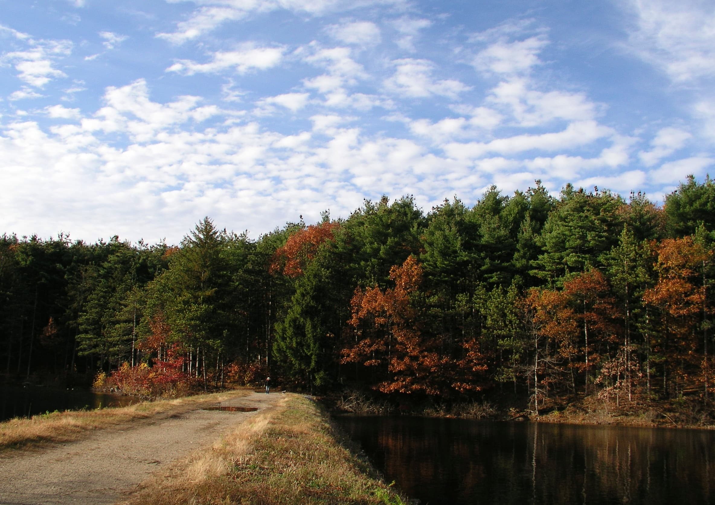
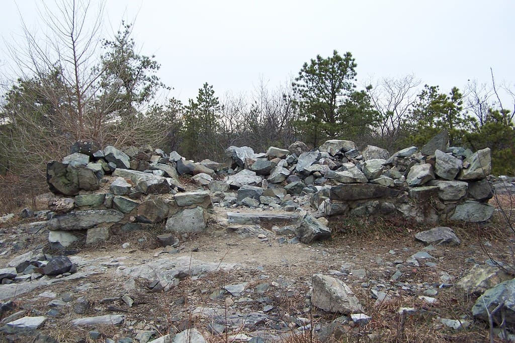
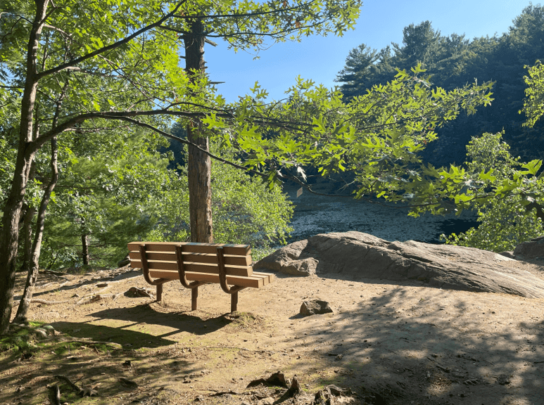
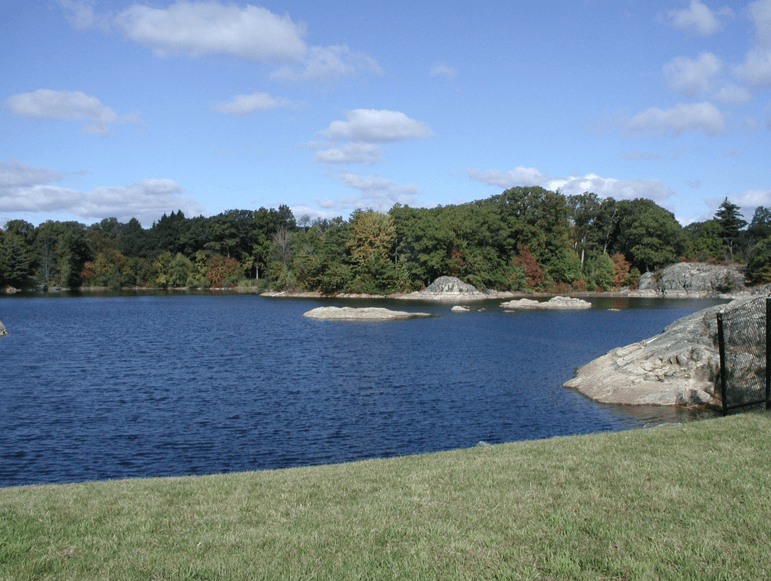
Middlesex Fells Reservation, known locally as “The Fells,” is a 2,575 acres natural oasis just north of Boston, spanning the towns of Medford, Malden, Melrose, Stoneham, and Winchester. This diverse landscape of rocky hills, quiet ponds, and dense woodlands offers over 100 miles of trails for hiking, biking, and running. Popular routes include the challenging Skyline Trail and the scenic Reservoir Loop. The Fells also features dog-friendly areas, historic sites, and rich wildlife habitats. Whether you're seeking panoramic views, peaceful nature walks, or a rugged workout, Middlesex Fells provides an accessible escape into nature for all skill levels.
Quick facts
- peaks
- 6located
- shape
- collection
- total distance
- 23 miles
- best season
- Anytime
- avg completion
- 2-5 days
Loading your progress…
Map and places
Choose a place. Visit in any order.
- PlaceWoodland Road, Stoneham, Massachusetts 02180, United States
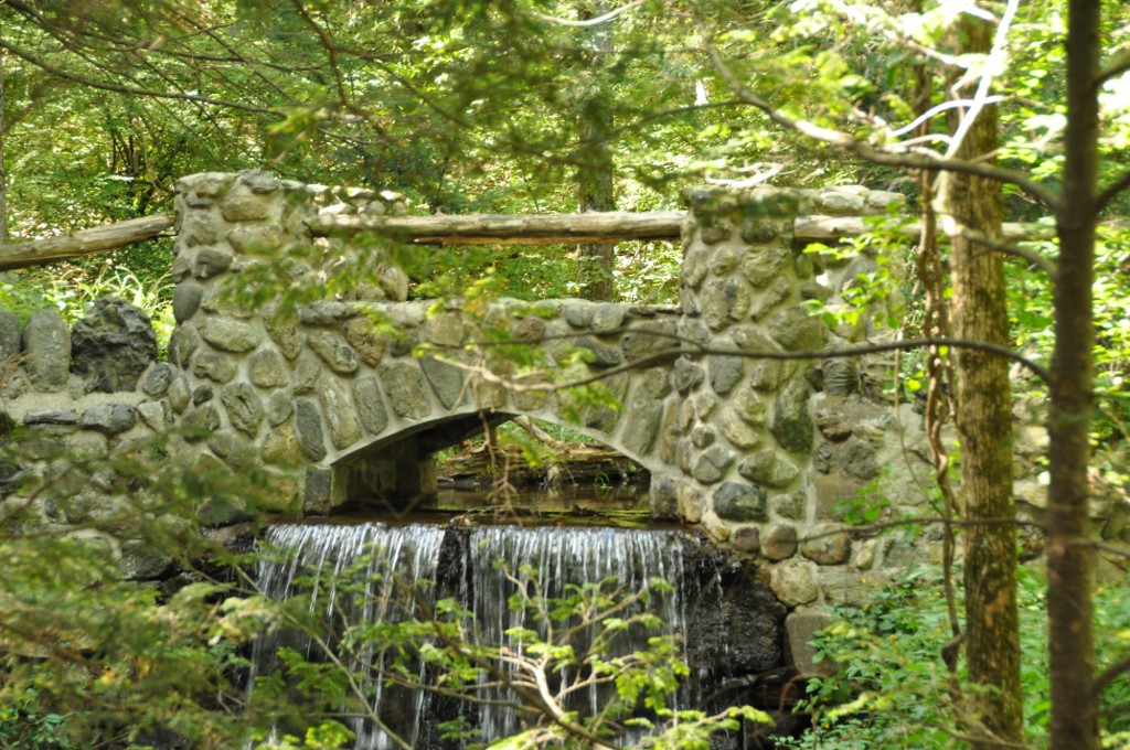
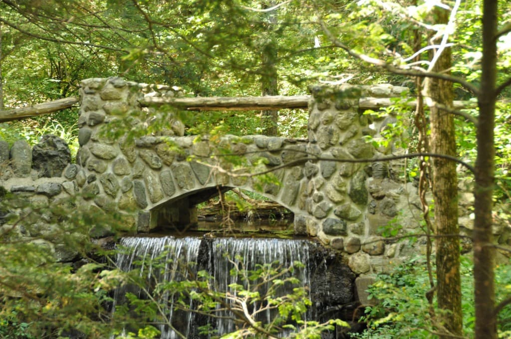
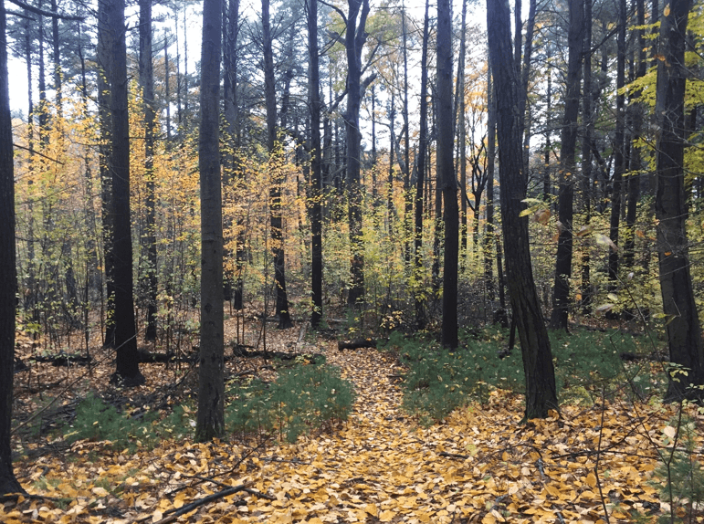
Trailhead: Park at the kiosk in a small parking area at a house at 1 Woodland Road Stroll through the Virginia Woods section of the Fells and explore the history of the Spot Pond Brook Historic District. A loop trail is blazed in yellow. (Note, bikes are not allowed on trails in…
- PlaceWoodland Road, Stoneham, MA
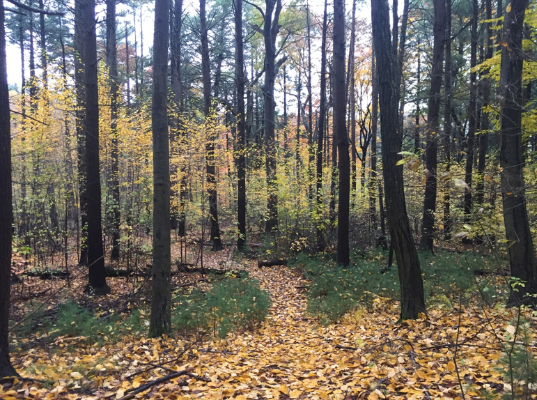
Blazed in white, the Skyline Trail follows the outer perimeter of the western Fells. There are spectacular views of Boston and the surrounding area especially from Wright's Tower. Most of the Skyline Trail is in wooded landscape, with several steep ascents to rocky outcrops. This…
- Place4 Woodland Road, Stoneham, Massachusetts 02180, United States
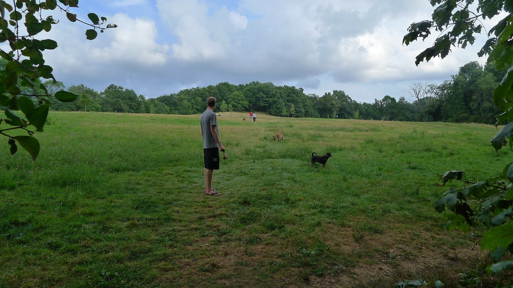
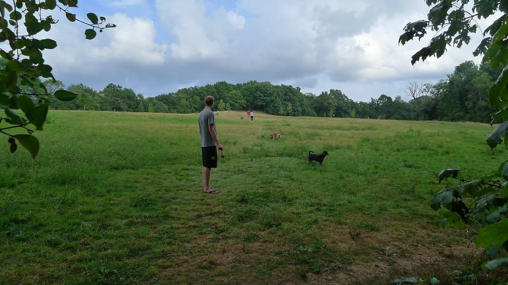
Sheepfold is the Middlesex Fells’ only off-leash dog area and is home to a former soapbox derby track. You can hike to the train trestle from here, with awesome views of the rocky outcroppings that define the Fells. North, Middle and South Reservoirs are municipal drinking water.…
- Place4 Woodland Road, Stoneham, Massachusetts 02180, United States
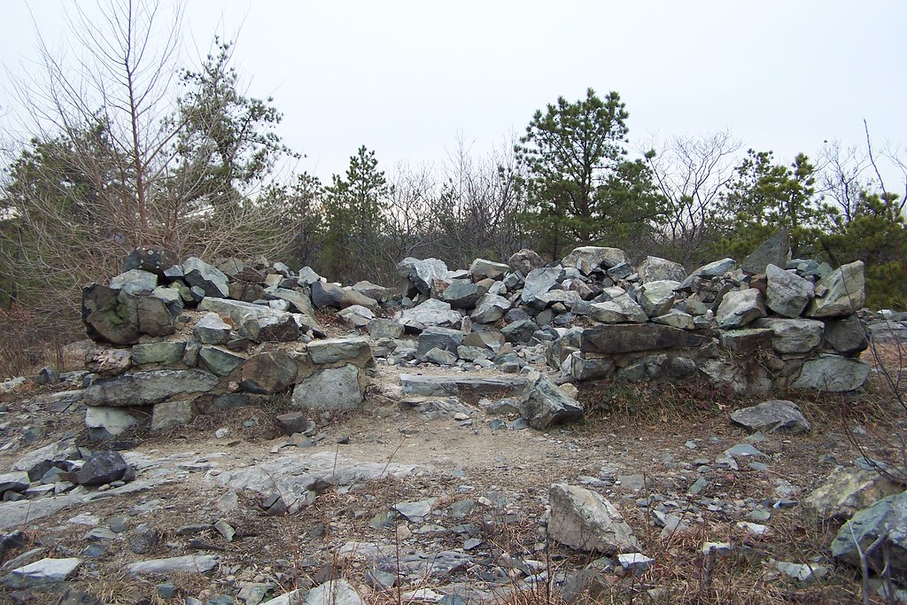
This trail traverses rocky outcrops in the southeast corner of the Fells providing a variety of scenic views. Enjoy the "Cascades" when flowing and the view from Boojum Rock. Pedestrians only. Blazed in white.
- Place4 Woodland Road, Stoneham, Massachusetts 02180, United States
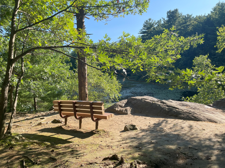
A perfect spot for quiet reflection, with hikes that are ideal for families. Explore this area’s history, plants, and wildlife on the Long Pond Nature Trail. Pedestrians only please. Long Pond Nature Trail: Follow the yellow blazed trail and stop at the 12 stations developed by…
- Place4 Woodland Road, Stoneham, Massachusetts 02180, United States
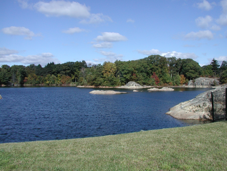
Reservoir Trail (orange blazes): Head downhill to your right to connect to the Reservoir Trail. This multi-use trail encircles the north, middle, and south reservoirs and the open water can be seen from many sites. Plan at least 3 hours/6.1 miles. Moderate to difficult hike.…
You can explore the itinerary while it loads.
Pins show individual places; there is no route between them. Select a pin to read its place in the itinerary.
Overview
The Middlesex Fells Reservation offers one of Massachusetts' most accessible hiking experiences, sitting just 10 miles north of Boston. The Middlesex Fells Reservation's 2,575 acres offer a welcome retreat for city dwellers and a suitable terrain for hikers, horseback riders, rock climbers, cross-country skiers, and picnickers as well as natural and cultural history buffs. Covering more than 2,200 acres of forest, wetlands, and rugged hills in Malden, Medford, Melrose, Stoneham, and Winchester, Massachusetts, the large hilly wooded area offers views of the city skyline and surrounding neighborhoods along its 100 miles of trails. There are 17 named mountains in Middlesex Fells Reservation. The highest and the most prominent mountain is Bear Hill. The trail network ranges from easy walks to challenging adventures like the Cross Fells Trail which has a 4.7 star rating from 65 reviews. This trail is 8.3 mi long with an elevation gain of 915 ft. It takes an average of 3 h 19 min to hike. Cross Fells Trail boasts the most elevation gain with 1,069 ft of total ascent. The park's runner-up is Rock Circuit Trail to Crystal Spring Loop, which will get you 984 ft of elevation gain. The reservation represents pioneering urban conservation efforts, being one of the first created by the Metropolitan Parks Commission. Fells is the Saxon word for rocky, hilly tracts of land - an apt name for this scenic area which is rich in local history. This protected wilderness showcases successful collaboration between state agencies and local communities, preserving natural spaces within the rapidly developing Boston metropolitan area.
History and Geology
This picturesque area was once favored for timber, granite quarrying, ice industry, and water power for the many mills including one that manufactured some of the first vulcanized rubber products. The reservation's creation marked a significant milestone in Massachusetts conservation history, demonstrating early recognition of the importance of preserving green spaces for urban populations. The geological landscape tells the story of millions of years of New England's formation. The reservation's distinctive rocky terrain consists primarily of ancient metamorphic rocks, including schist and gneiss formations that create the dramatic peaks and scenic overlooks throughout the trail system. These geological features were shaped by glacial activity during the last ice age, which carved deep valleys, rounded hilltops, and created the numerous ponds that define the reservation's character today. The glacial processes created diverse terrain supporting varied ecosystems, from wetland areas around Spot Pond to rocky summit environments. These geological formations provide habitat for specialized plant communities and create the stunning landscape features that make the reservation such a popular hiking destination for outdoor enthusiasts seeking both natural beauty and geological education.
Safety
Essential gear for Middlesex Fells hiking includes sturdy hiking boots for rocky terrain and steep sections, particularly on challenging routes with significant elevation changes. Weather protection requires versatile layering systems capable of handling New England's variable conditions, from summer heat to winter snow. Waterproof jackets become essential during frequent weather changes, while breathable layers allow adaptation to elevation changes throughout the seasons. Navigation equipment should include detailed trail maps from the Massachusetts Department of Conservation and Recreation, compass, and GPS devices for complex trail intersections. The reservation uses a color-coded blazing system, with major trails like the white Skyline Trail providing clear directional guidance. Safety equipment includes basic first aid supplies, emergency whistle, and reliable flashlight for early morning or late afternoon adventures. Urban wilderness hiking presents unique challenges combining standard trail risks with high-use recreational area considerations. Weather exposure on rocky outcrops requires attention to changing conditions, while the reservation's popularity means sharing trails with mountain bikers, dog walkers, and other hikers. Traffic safety becomes important when accessing trailheads via busy suburban roads, requiring careful attention to parking locations and road crossings. The Middlesex Fells Reservation is open from dawn to dusk. Some parking areas (Bear Hill, Bellevue Pond, Greenwood Park, Long Pond, Sheepfold Park) are gated and usually open at 9:00 AM, and are locked within a half-hour after sunset. The reservation's urban setting provides excellent accommodation flexibility, with numerous hotels, bed-and-breakfasts, and vacation rentals throughout surrounding communities serving as comfortable base camps for exploration.
Fees and Other
Food and water planning varies based on chosen routes and duration. Shorter trails need basic snacks and water bottles, while longer routes like the 8-mile Skyline Trail require more substantial food supplies and adequate water for 4-6 hour adventures. Water availability within the reservation is limited, requiring hikers to carry adequate supplies from parking areas since treated water sources are not readily available. The reservation requires no special permits for hiking, with free access to the extensive trail network year-round. Standard Massachusetts state park regulations apply, including leash requirements for dogs and Leave No Trace principles. At Middlesex Fells, you can hike, bike, fish, or let your dog run free in the off-leash area. The reservation's accessibility and free access make it an economical choice for regular hiking adventures throughout the year.
Middlesex Fells Reservation Hikes: common questions
How long is Middlesex Fells Reservation Hikes?
Middlesex Fells Reservation Hikes covers 23 miles in total.
How long does Middlesex Fells Reservation Hikes take to complete?
Most people complete Middlesex Fells Reservation Hikes in about 2-5 days.
When is the best time to do Middlesex Fells Reservation Hikes?
The best season for Middlesex Fells Reservation Hikes is Anytime.
How many checkpoints does Middlesex Fells Reservation Hikes have?
Middlesex Fells Reservation Hikes has 6 checkpoints to log on the way to finishing it.
Plan your journey.
Keep this journey for later, or share it with someone you would like to go with.