
John Muir Trail
Yosemite Valley, California, United States
About this journey
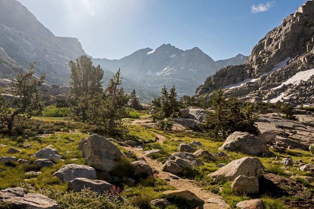
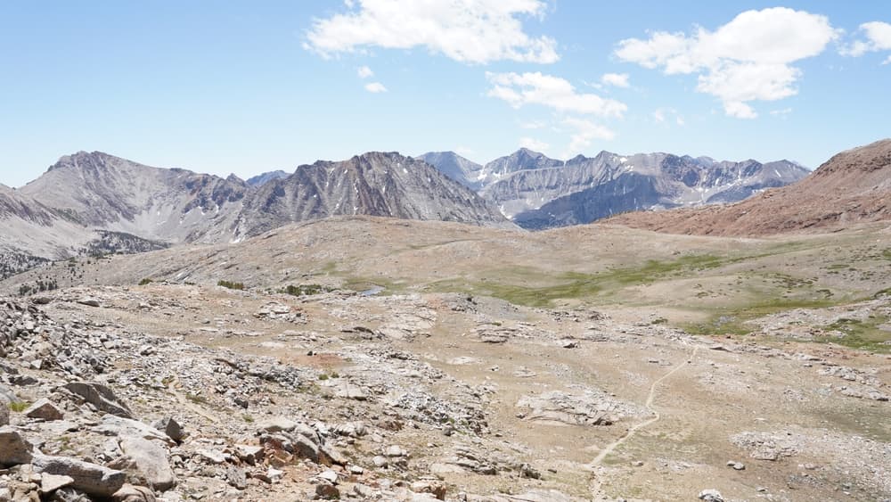
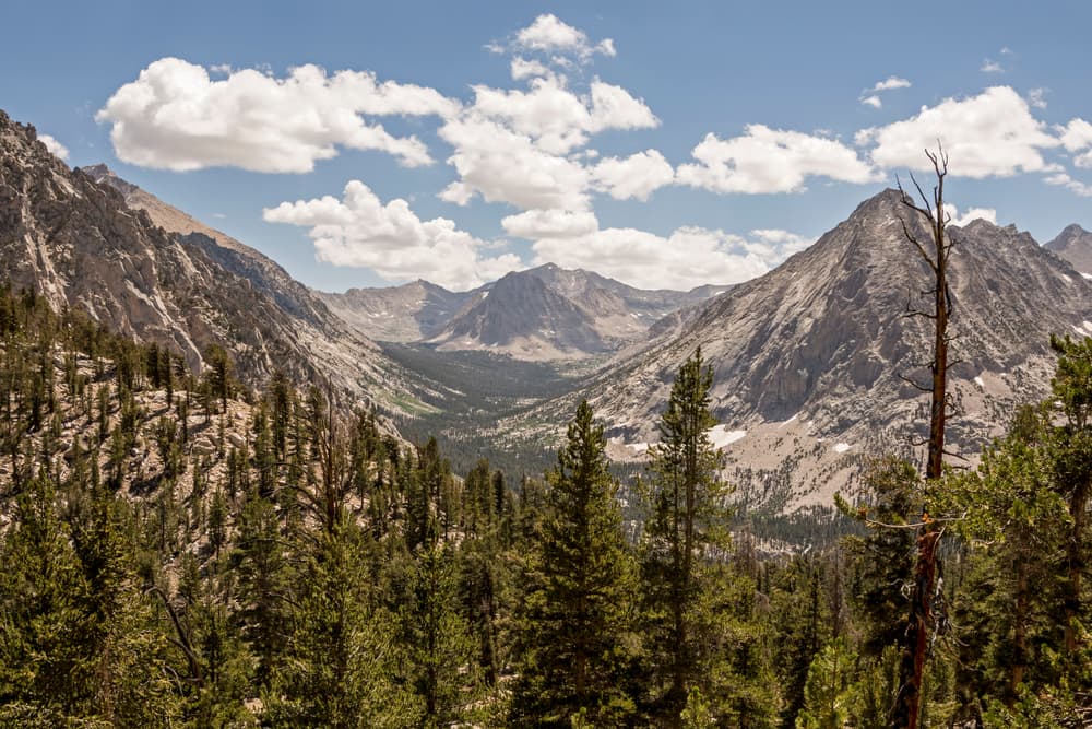
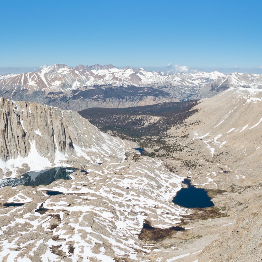
The John Muir Trail (JMT) is a legendary long-distance hiking trail in California’s Sierra Nevada, stretching about 211 miles from Yosemite Valley to Mount Whitney, the highest peak in the contiguous U.S. The trail passes through some of America’s most stunning wilderness, including Yosemite, Kings Canyon, and Sequoia National Parks.
Quick facts
- stops
- 17located
- shape
- crossing
- high point
- 14,505ft
- total distance
- 211 miles
- best season
- Summer
- avg completion
- 17-25 days
Loading your progress…
Map and itinerary
- Stop 01Sierra Nevada
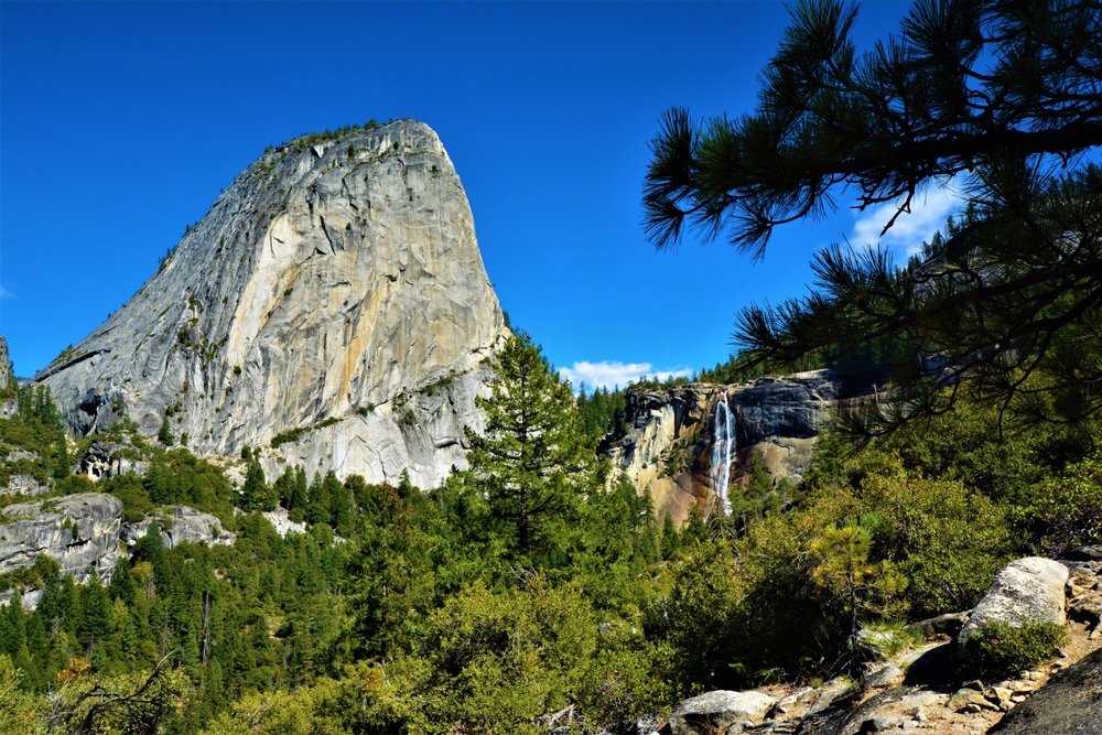
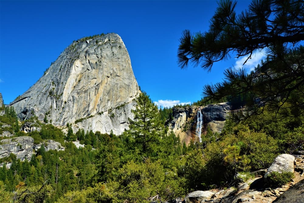
Stage 1 of the JMT begins in Yosemite Valley and climbs steadily via the Mist Trail or JMT junction toward the Sierra crest. Highlights include Vernal and Nevada Falls, granite staircases, and sweeping canyon views. The stage ends near Sunrise Camp, nestled in a quiet alpine…
- Stop 02Sierra Nevada
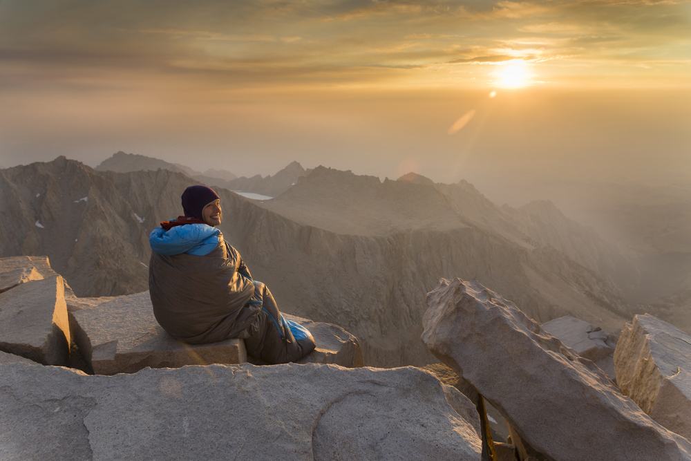
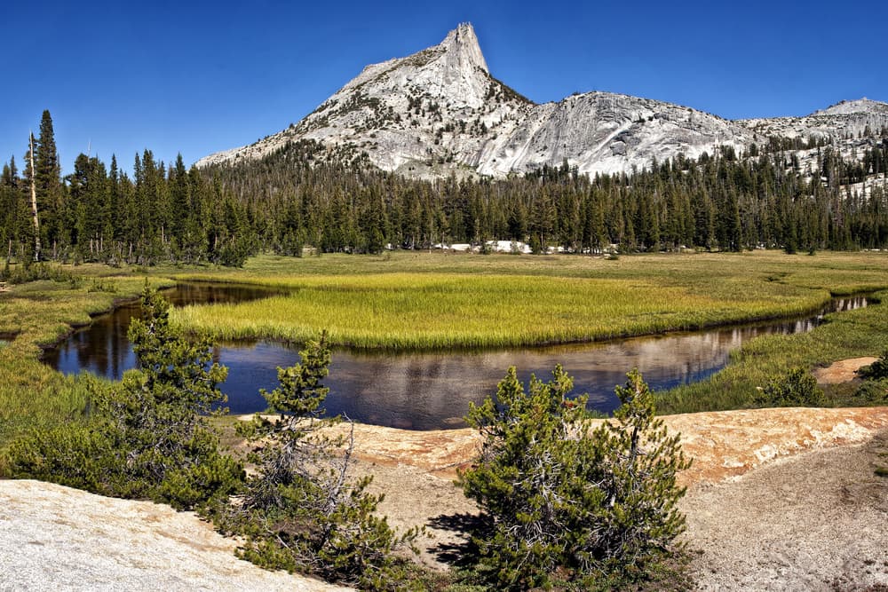
Stage 2 traverses rolling alpine terrain past Cathedral Peak and through Lyell Fork’s pristine headwaters, eventually descending into Tuolumne Meadows. This segment is rich in wildflowers, granite spires, and high-mountain lakes, offering some of the most scenic views of the…
- Stop 03Sierra Nevada
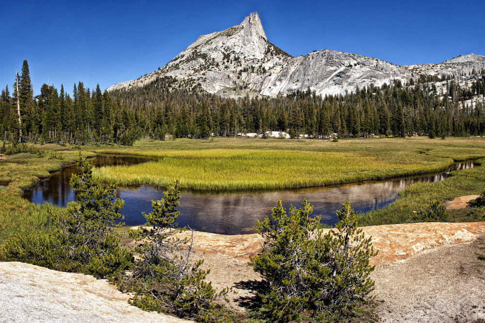
Stage 3 offers a peaceful reprieve with a gentle, mostly flat walk through Lyell Canyon, one of the most scenic and serene stretches of the JMT. This lush glacial valley is lined with wildflowers, meadows, and the meandering Lyell Fork of the Tuolumne River.
- Stop 04Sierra Nevada
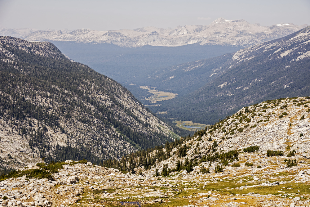
This stage is a dramatic shift in elevation and scenery. It begins with a steady climb up Lyell Canyon to Donohue Pass—the first major pass on the JMT. Beyond, the trail enters Ansel Adams Wilderness, descending into a basin of alpine lakes before ascending again to Island Pass.
- Stop 05Sierra Nevada
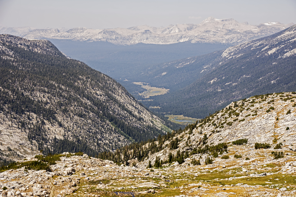
This stage begins in alpine splendor and descends into the lush forests of the Middle Fork San Joaquin River. It includes Thousand Island Lake—one of the most photogenic spots on the JMT—and gradually drops into Red’s Meadow, where hikers find a small resort and resupply stop.
- Stop 06Sierra Nevada
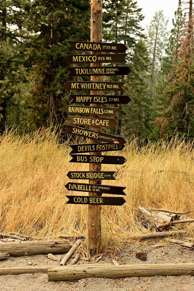
This scenic stage transitions from the wooded landscape of Red’s Meadow to the high alpine setting of Lake Virginia. Hikers travel through dense pine forests, past Cascade Valley junction, and then climb toward rolling ridgelines and open meadows before arriving at the tranquil…
- Stop 07Sierra Nevada
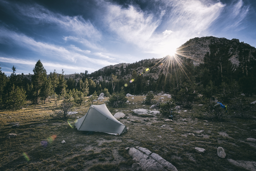
A short but rewarding stage, this segment climbs steadily to Silver Pass, offering panoramic views of surrounding peaks and deep valleys. The route passes Tully Hole, a lush glacial basin, before switchbacking up through exposed granite and alpine forest to the high point at…
- Stop 08Sierra Nevada
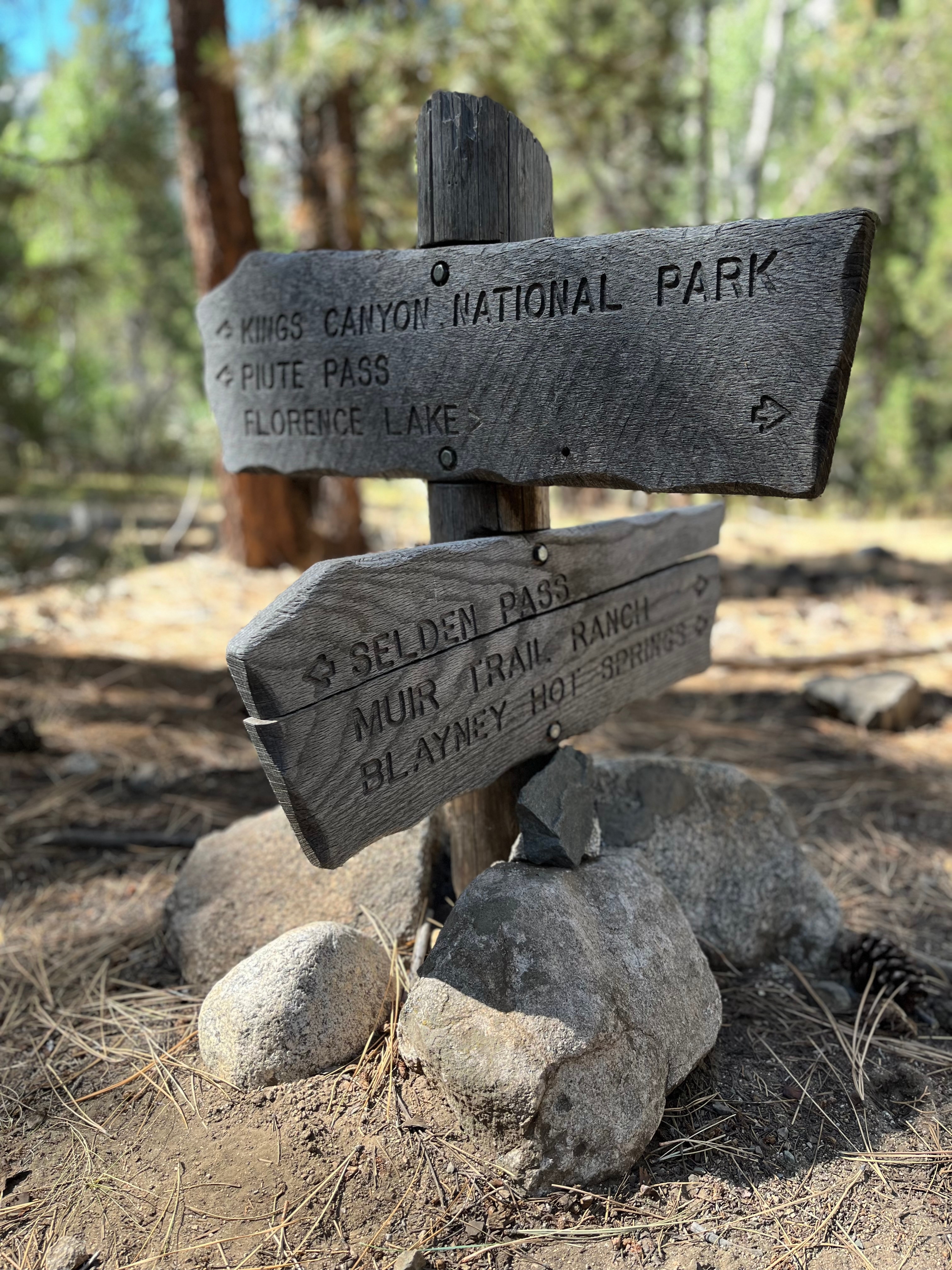
This stage marks the transition from subalpine wilderness into the more remote interior of the Sierra Nevada. After descending from Silver Pass, the trail follows cascading creeks, passes numerous lake outlets, and winds through forests before reaching Muir Trail Ranch—one of the…
- Stop 09Sierra Nevada
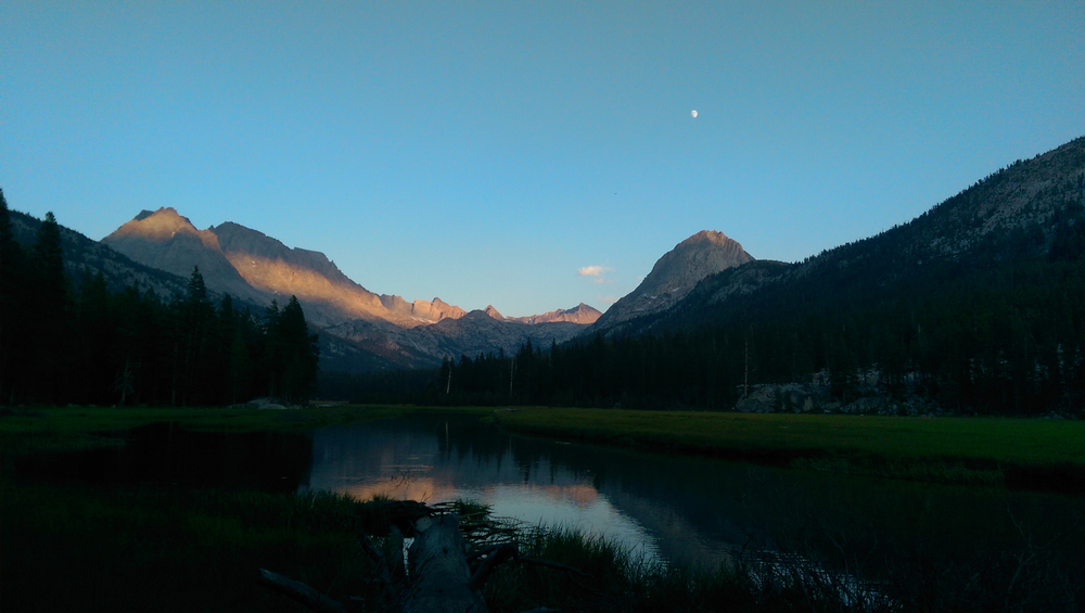
Stage 9 ushers hikers into the heart of the High Sierra, beginning the legendary stretch through Kings Canyon National Park. The trail climbs along the South Fork of the San Joaquin River before entering the stunning Evolution Valley—a serene, glacial-carved landscape of rivers,…
- Stop 10Sierra Nevada
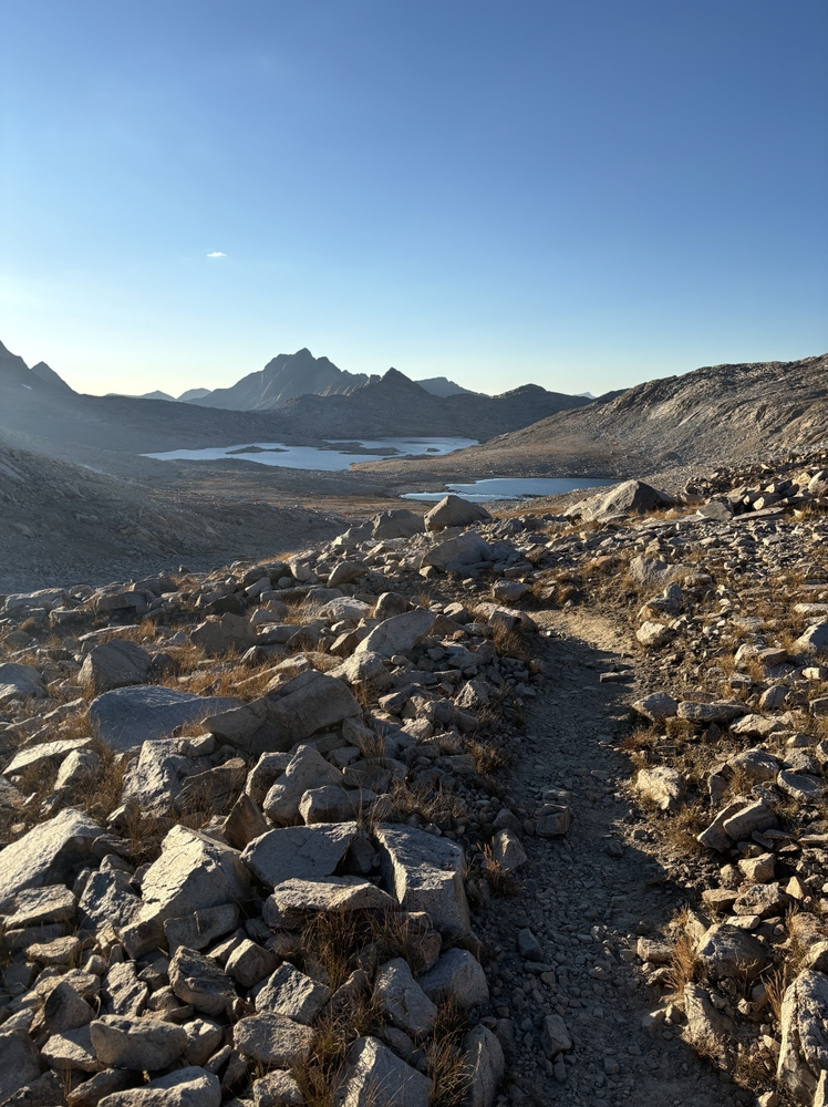
Stage 10 ascends through one of the most awe-inspiring stretches of the JMT. From the meadows of Evolution Valley, the trail follows Evolution Creek into a granite basin filled with glacial lakes before reaching Muir Pass and the iconic stone Muir Hut—built as a refuge in extreme…
- Stop 11Sierra Nevada
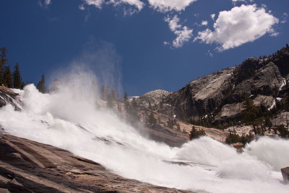
From Muir Pass, this stage descends into the lush LeConte Canyon, a deep glacial valley surrounded by massive granite cliffs. Waterfalls and rushing creeks are abundant, with campsites scattered along the canyon floor. The terrain transitions dramatically from stark alpine to…
- Stop 12Sierra Nevada
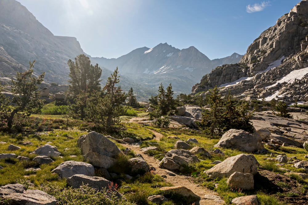
Stage 12 climbs out of LeConte Canyon and into the remote, austere landscape leading to Mather Pass. The ascent is steep and challenging, culminating in a panoramic pass overlooking the Upper Basin. This is one of the more difficult yet rewarding sections of the JMT.
- Stop 13Sierra Nevada
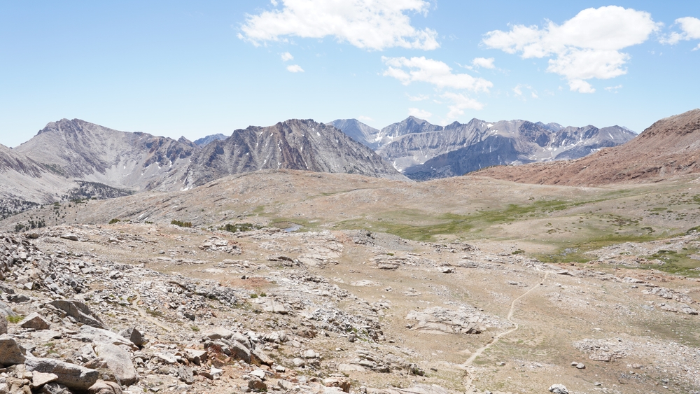
This stage traverses from one high alpine basin to another. From Mather Pass, the trail descends into the South Fork Kings River canyon, then climbs again through a series of tarns and plateaus to Pinchot Pass—less traveled but just as scenic as its neighbors.
- Stop 14pinchot pass
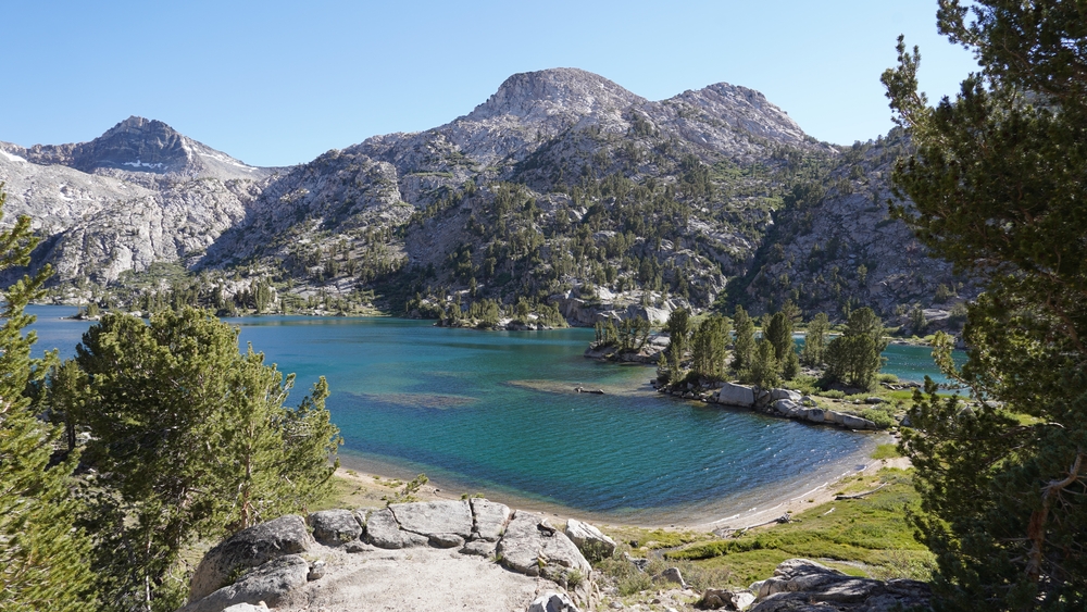
Descending from Pinchot Pass, the trail drops into Woods Creek Canyon before climbing again to the gemlike Rae Lakes—some of the most iconic and photographed alpine lakes in the Sierra. Crystal-clear water, jagged ridgelines, and lush campsites make this a favorite among hikers.
- Stop 15Rae lakes
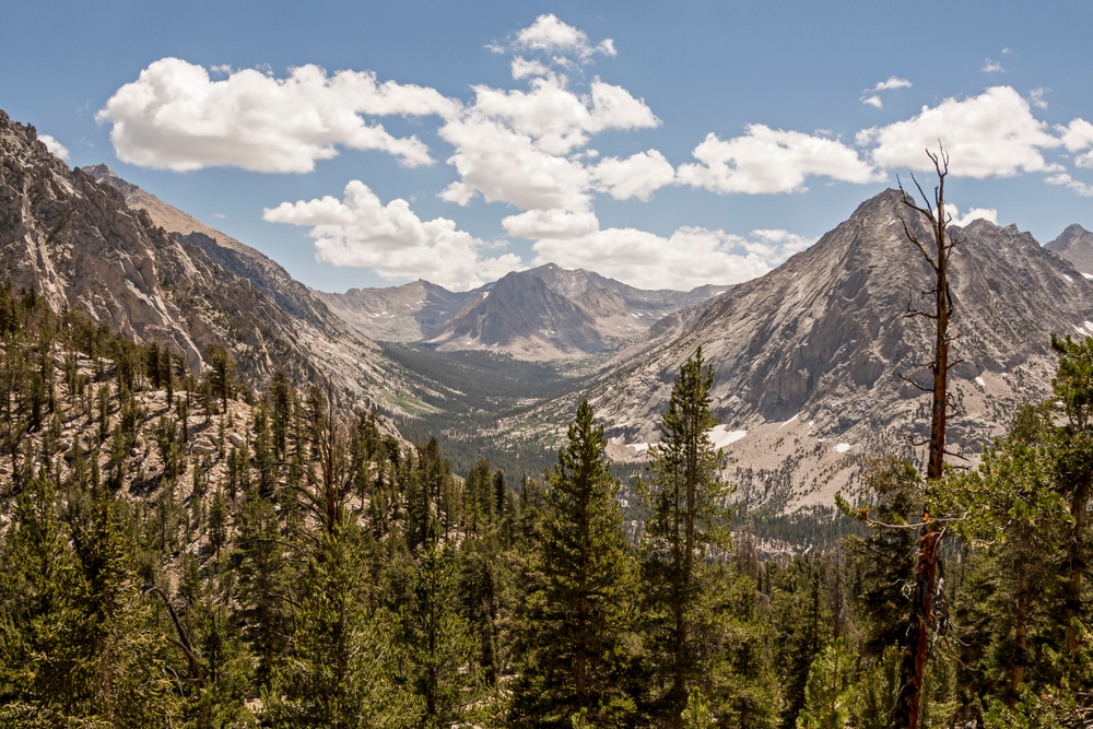
This scenic stage includes a climb to Glen Pass, which offers commanding views of Rae Lakes and the rugged peaks of Kings Canyon. After the pass, a steep descent leads through alpine forest into Vidette Meadow—a sheltered, wooded campsite below towering granite walls.
- Stop 16Sierra Nevada
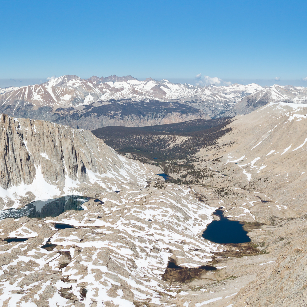
Leaving Vidette Meadow, the trail begins its final major climb. It ascends through Bighorn Plateau and high alpine terrain toward Guitar Lake, the last major campsite before the Mt. Whitney summit. Views widen dramatically as you approach the Sierra Crest.
- Stop 17Sierra Nevada
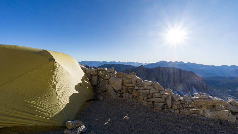
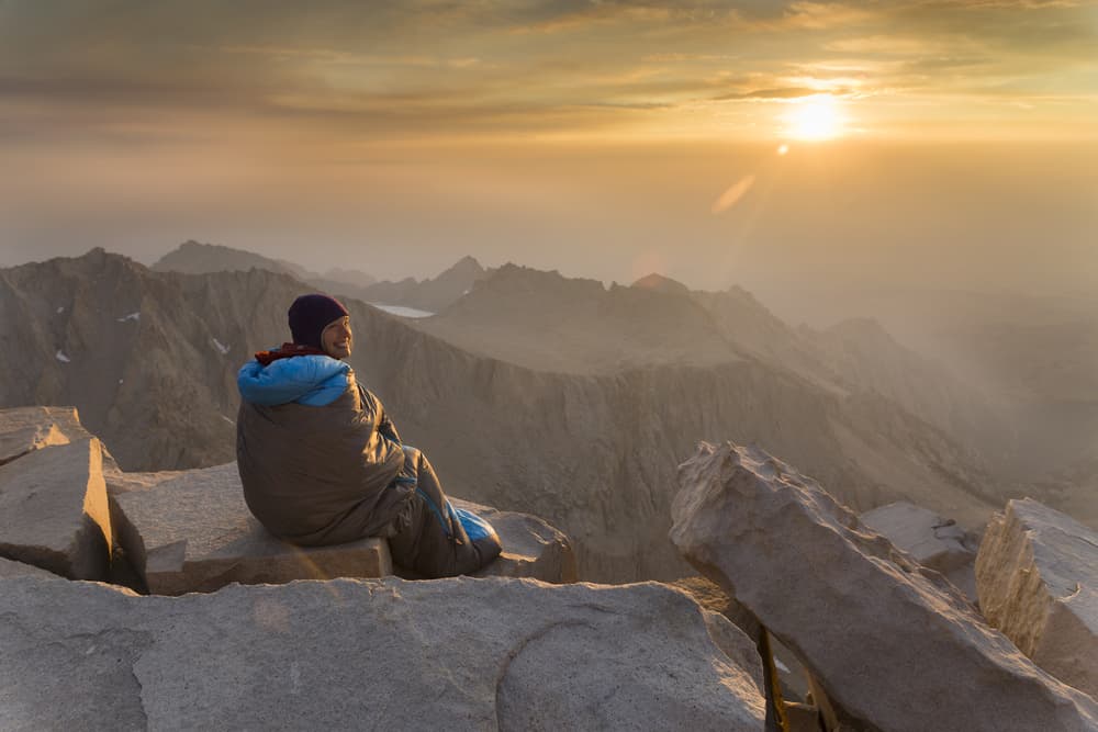
The final JMT stage is a grand finale: the sunrise push to Mt. Whitney, the highest point in the contiguous U.S., followed by a long descent to Whitney Portal. High exposure, switchbacks, and awe-inspiring views define this dramatic end to the journey.
You can explore the itinerary while it loads.
Dotted lines show itinerary order, not a trail or driving route. Select a pin to read its place in the itinerary.
Statistics and Elevation Profile
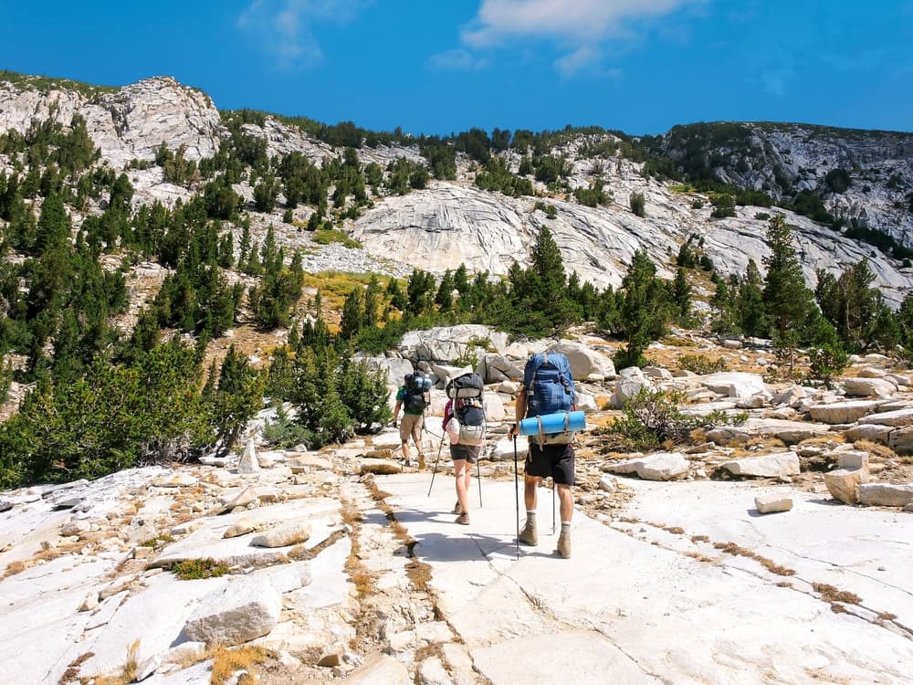
Start: Happy Isles, Yosemite Valley (1,220 m / 4,003 ft) End: Mount Whitney Portal (2,530 m / 8,300 ft) after summiting Whitney (4,421 m / 14,505 ft) Highest Point: Mount Whitney (4,421 m / 14,505 ft), the tallest peak in the contiguous United States The John Muir Trail is a legendary thru-hike stretching approximately 340 km / 211 mi, with around 14,000 m / 46,000 ft of total elevation gain. It traverses the spine of the Sierra Nevada and is a demanding but iconic journey for seasoned backpackers. Hikers spend the majority of the route above 2,400 meters (8,000 feet), traversing numerous passes over 3,600 meters (12,000 feet), including Donohue, Mather, Glen, and Forester Pass. Most thru-hikers complete the route in 2 to 4 weeks, averaging 10 to 20 miles per day depending on weather, acclimatization, and resupply strategy.
Highlights and Landmarks
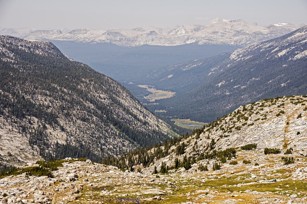
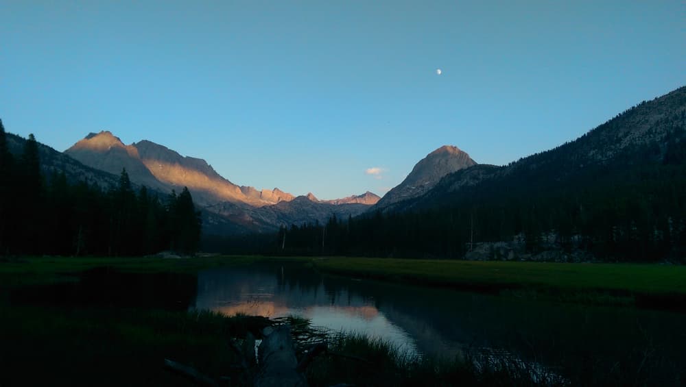
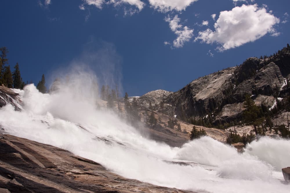
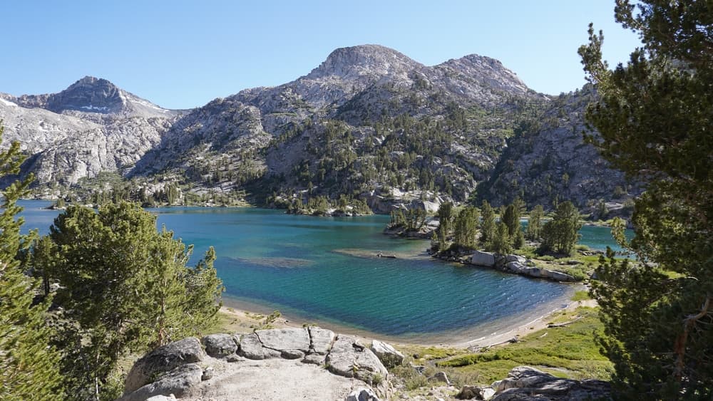
The JMT reveals some of the Sierra Nevada’s most memorable landmarks. In Yosemite, hikers pass beneath towering granite domes and roaring waterfalls, then ascend into the quiet meadows and smooth rock basins of Tuolumne. The trail then crosses into the Ansel Adams Wilderness, passing glacial lakes such as Garnet and Thousand Island. Kings Canyon introduces the remote Evolution Basin, with its wind-carved peaks and serene lakes offering some of the trail’s most beloved scenery. Muir Pass, named for the trail’s namesake, leads into a stunning high alpine world, while Rae Lakes and Glen Pass captivate with their reflections and sharp granite spires. As hikers near the southern terminus, they prepare for the dramatic ascent to Mount Whitney, a final, unforgettable reward with commanding views over the Sierra and Owens Valley below. Wildlife is abundant along the route, with sightings of black bears, deer, pikas, marmots, and high-altitude raptors adding to the wilderness experience. Nights under the stars are equally compelling, with the Sierra Nevada offering some of the darkest skies and clearest views of the Milky Way in the continental U.S.
Culture and History
The John Muir Trail honors the legacy of John Muir, whose writings and activism led to the creation of Yosemite National Park and inspired the broader American conservation movement. His deep reverence for the Sierra Nevada is reflected in the trail’s alignment, which follows much of the same terrain he explored and described in the late 1800s. The idea of the JMT was proposed in 1915 and completed in 1938, with work spanning over two decades to link existing footpaths into a continuous high mountain route. In addition to honoring Muir, the trail traverses lands historically inhabited by Native American peoples, including the Paiute, Miwok, and Mono tribes. Their ancestral use of these lands for trade, hunting, and seasonal migration long predates European-American exploration, and cultural traces remain in place names and oral histories. Today, the trail forms a living connection between wilderness preservation, recreation, and cultural respect, bridging past and present through the physical act of walking through protected landscapes.
Geology
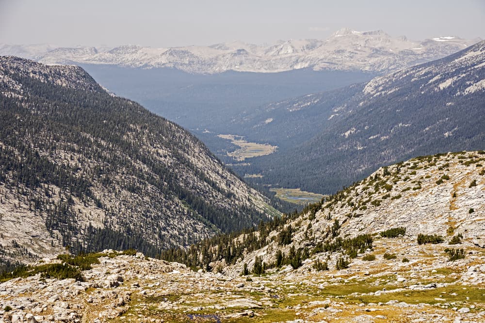
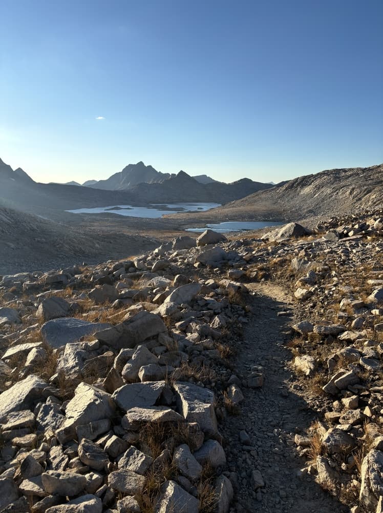
The Sierra Nevada is a massive granite batholith, uplifted and sculpted by tectonic forces and glacial activity over millions of years. Hikers on the JMT encounter classic examples of glacial erosion, from smooth granite basins to sharp ridges and U-shaped valleys. These formations tell the story of ancient ice ages and tectonic uplift, with many passes marking the divides between watersheds carved by long-vanished glaciers. Lakes throughout the trail are fed by snowmelt and framed by massive granite cliffs, showcasing the clean lines and elemental forces that define Sierra geology. Talus slopes, erratics, and glacial polish offer constant visual evidence of the landscape’s glacial past. For those interested in Earth science, the trail provides a geologic education at every turn.
Essential Gear
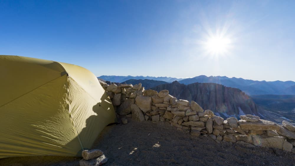
Success on the John Muir Trail hinges on packing the right gear for high elevations, alpine storms, and extended self-sufficiency. A sturdy, lightweight tent capable of withstanding mountain winds is essential, as is a sleeping bag rated for near-freezing temperatures even in mid-summer. Layered clothing systems help hikers adjust to the wide temperature swings typical of high elevations, from hot sun during the day to freezing nights above treeline. Bear-resistant food storage is mandatory for nearly the entire trail, with most hikers carrying an approved bear canister. Navigation tools include detailed maps, compass, and GPS devices with offline capability, as cell service is rare and unreliable. Trekking poles aid with steep terrain and river crossings, while microspikes may be necessary early in the season when snow lingers on high passes. Water purification methods—filters, chemical treatments, or UV devices—are crucial, as water sources must be treated to prevent illness. A small first aid kit, emergency whistle, and headlamp with spare batteries complete the safety essentials.
Accommodation and Booking
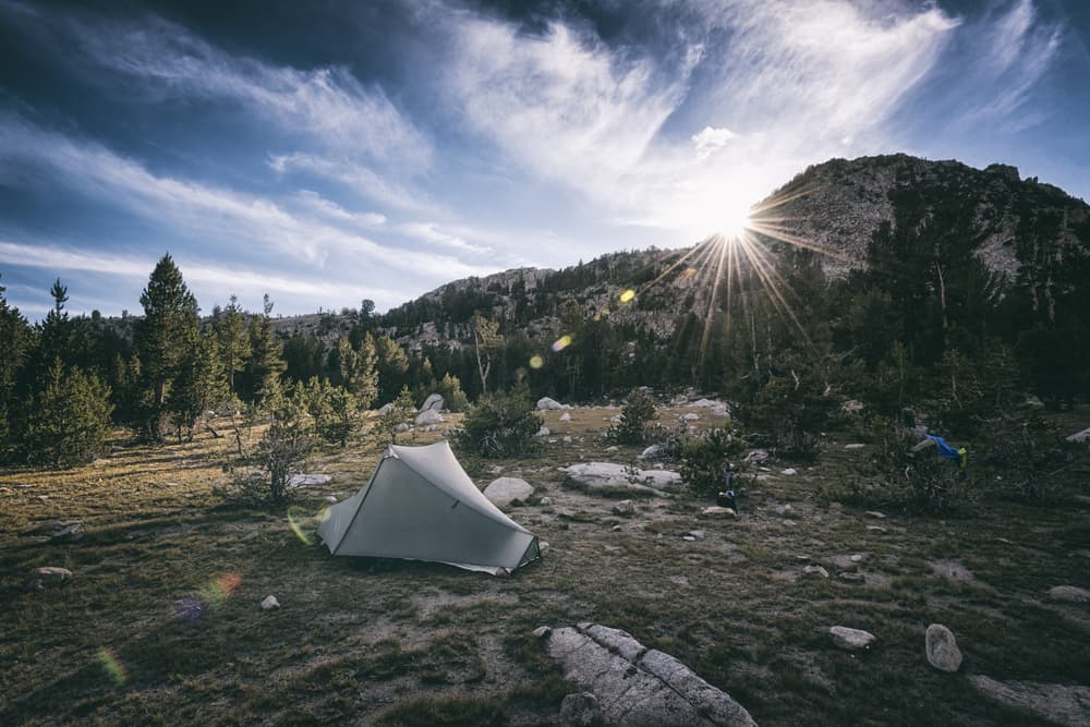
Unlike European hut routes, the JMT requires hikers to be self-sufficient, with all accommodation consisting of dispersed wilderness camping. Most hikers set up camp near lakes or streams, ensuring they follow Leave No Trace principles, camp at least 100 feet from water, and avoid fragile meadows. No shelters or formal campgrounds exist along the main trail, although a few established sites see heavy use. Securing a wilderness permit is one of the most critical and challenging aspects of JMT planning. Southbound permits from Yosemite’s Happy Isles trailhead are issued via a competitive lottery, with applications accepted 24 weeks in advance through Recreation.gov. Northbound hikers starting at Whitney Portal or Horseshoe Meadow require a different permit from the Inyo National Forest, also available through a quota-based lottery. Permits for Mount Whitney’s summit are required for all hikers exiting through Whitney Portal. High demand means hikers often need flexibility in start dates, alternate entry points, or direction of travel.
Food and Water
Food resupply is a logistical puzzle on the JMT. Most hikers carry 7 to 10 days of food and resupply at locations just off the trail, such as Red’s Meadow near Mammoth Lakes, Vermilion Valley Resort (VVR) via ferry across Lake Edison, or Muir Trail Ranch (MTR), which offers food bucket pickups. Onion Valley is another option via a detour over Kearsarge Pass to reach the town of Independence. Half-board services like those in the Alps do not exist, so hikers must carry and prepare their own meals. Lightweight, calorie-dense backpacking food—often dehydrated or freeze-dried—is standard. Cooking is typically done with small canister stoves, and campfires are prohibited above certain elevations. Water sources are frequent but must be treated. Most hikers use alpine streams, springs, and lake outlets for water, but seasonal snowmelt patterns can affect availability, especially late in the season.
Navigation
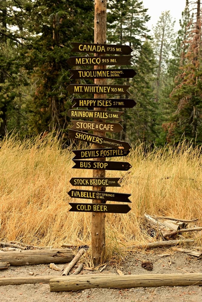
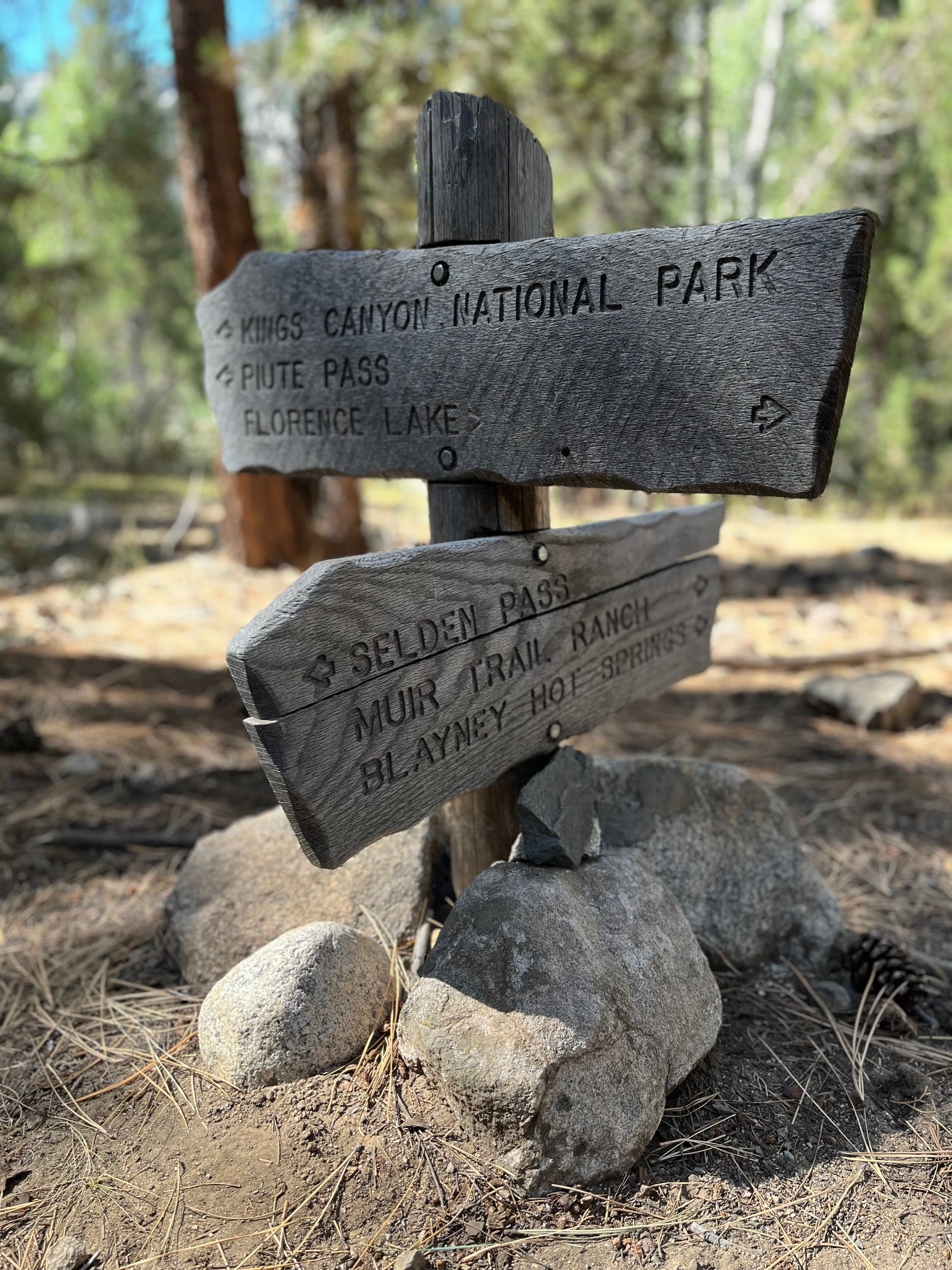
The John Muir Trail is well-marked and maintained, but navigation can become challenging in poor weather, early season snow, or less-traveled detour sections. Wooden signs, cairns, and worn tread make the route generally easy to follow, though accuracy matters in wilderness areas where off-trail travel may lead to dangerous terrain. Maps such as the Tom Harrison JMT series and the National Geographic Trails Illustrated series provide essential topographic detail. Most thru-hikers rely on GPS-enabled apps like FarOut, which provide elevation profiles, campsite locations, and water reports.
Safety and Risk Management
Backpacking the John Muir Trail involves real hazards that require constant attention and preparation. Rapid weather changes, particularly afternoon thunderstorms at high passes, pose risks of hypothermia and lightning strikes. Early morning rockfall and slippery slopes are more common in freeze-thaw conditions. High elevations increase the risk of acute mountain sickness, especially in the first few days of the hike. River crossings can become treacherous during snowmelt or following storms, sometimes necessitating detours or waits. Encounters with black bears are common, but rarely dangerous if food is stored properly.
Permits and Fees
Access to the John Muir Trail is tightly regulated to preserve wilderness integrity. All thru-hikers must obtain a wilderness permit from the managing agency corresponding to their chosen trailhead. The most popular starting point at Happy Isles in Yosemite Valley requires a permit issued via a highly competitive lottery system. Permits for southbound hikers are generally the hardest to secure and should be applied for 24 weeks in advance. Finishing on Mount Whitney requires a special Whitney Zone permit, which includes an additional quota and bear canister requirement. Application fees typically range from $10–$25, and confirmed reservations may carry additional costs. There are no trail fees or entrance tickets beyond permit costs and possible parking or transportation expenses. Bear canisters can be rented in Yosemite or Inyo National Forest, though many hikers prefer to bring their own. Planning ahead and understanding each permit zone’s rules is crucial for a smooth and legal journey on the JMT.
John Muir Trail: common questions
How long is John Muir Trail?
John Muir Trail covers 211 miles in total.
How long does John Muir Trail take to complete?
Most people complete John Muir Trail in about 17-25 days.
When is the best time to do John Muir Trail?
The best season for John Muir Trail is Summer.
How many checkpoints does John Muir Trail have?
John Muir Trail has 17 checkpoints to log on the way to finishing it.
Plan your journey.
Keep this journey for later, or share it with someone you would like to go with.