
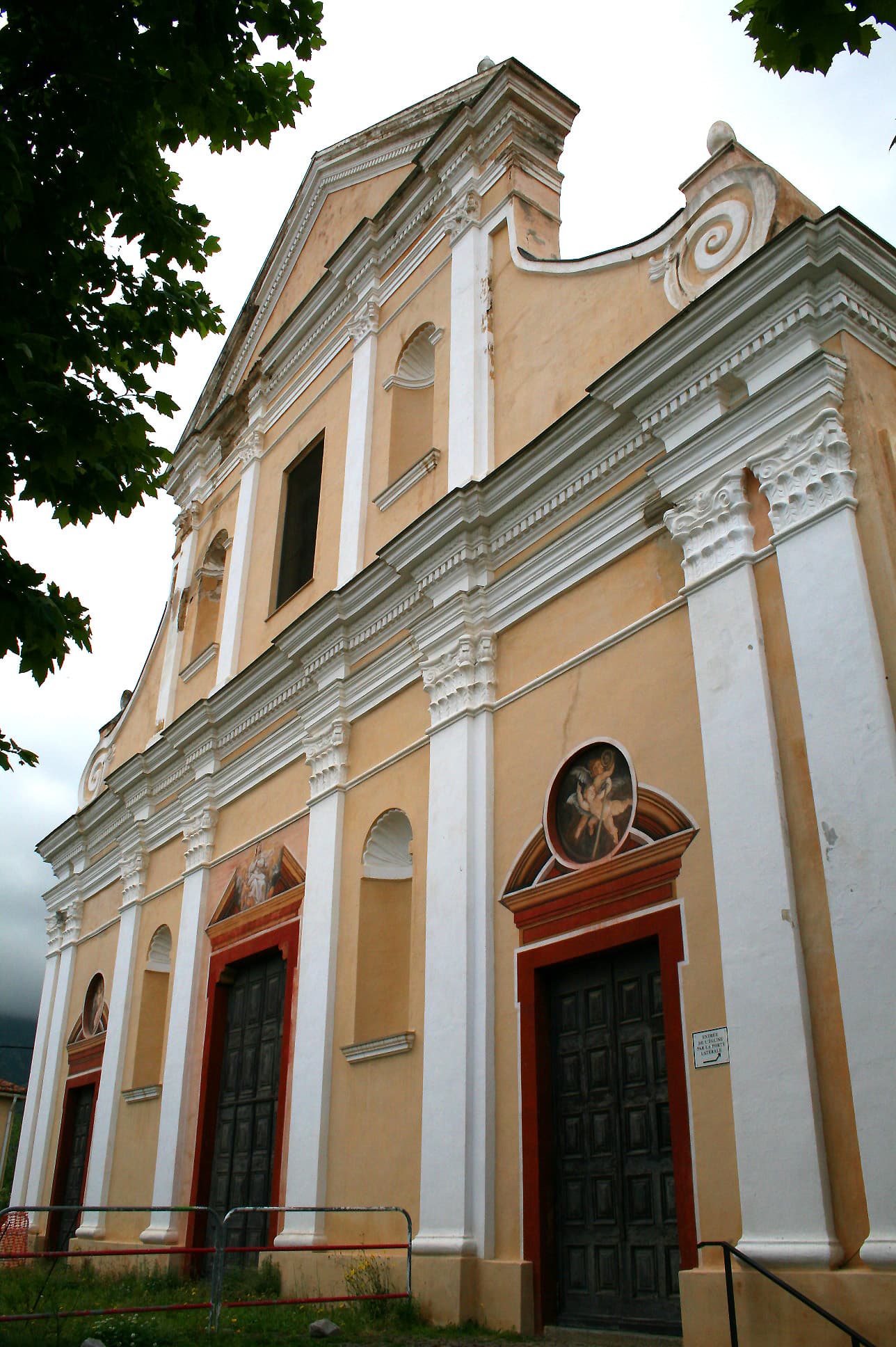
Calenzana to Ortu di u Piobbu
300 meters11 km
A steep and scenic introduction to the GR20, climbing from the Balagne plains into the high mountains.
Corsica, France
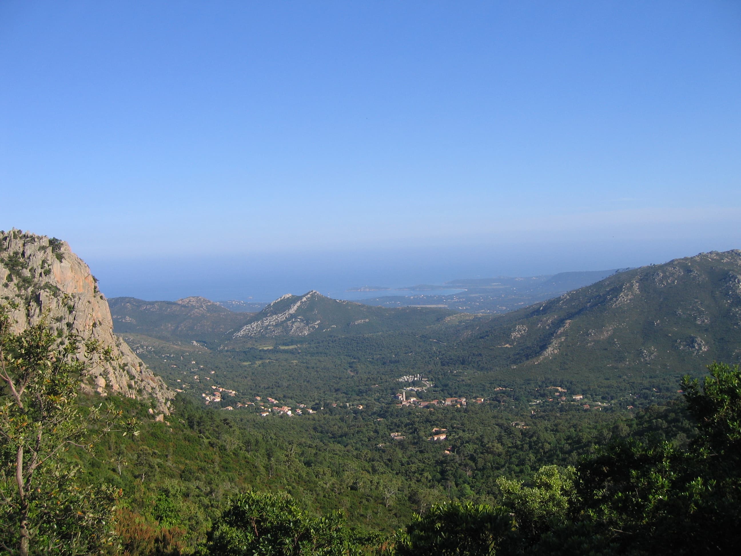
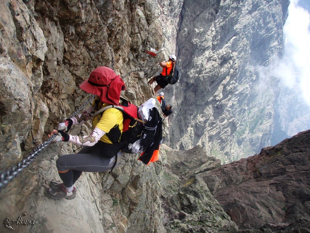
The GR20 is Europe's most challenging and spectacular long-distance hiking trail, traversing 180 kilometers along Corsica's rugged granite mountain spine from Calenzana in the north to Conca in the south. This legendary route demands 12-16 days to complete, with 12,000 meters of total elevation gain through some of the Mediterranean's most dramatic wilderness terrain. The trail showcases Corsica's diverse ecosystems, from Mediterranean maquis scrubland to alpine meadows, while passing pristine mountain lakes, exposed granite ridges, and the island's highest peaks. The northern section features technical scrambling and knife-edge traverses requiring hands-on climbing skills, while the southern portion offers gentler gradients through forested valleys with opportunities for mountain swimming.
Quick facts
Loading your progress…
300 meters at Calenzana to Ortu di u Piobbu, up to 1,900 meters at Petra Piana to L’Onda, down to 1,000 meters at I Paliri to Conca.
A steep and scenic introduction to the GR20, climbing from the Balagne plains into the high mountains.
A technical stage with ups and downs, narrow paths, and stunning views of craggy peaks and valleys.
An alpine stage crossing the Spasimata footbridge and climbing to Bocca di Stagnu before descending to the ski resort.
A short but steady climb along the Golo river valley to the highest refuge on the GR20.
One of the most demanding stages, replacing the old Cirque de la Solitude with a new route via Monte Cinto’s flanks.
A steep ascent to spectacular alpine views and a windswept refuge perched on the ridge.
Choose between the easier valley route or the panoramic ridge route with commanding views of Corsica’s central peaks.
A return to civilization as you descend into the heart of Corsica, with options to detour via Monte d’Oro.
A ridge walk with views across the island, plus a variant to climb Monte Renoso for an extra challenge.
A high-level ridge walk above the clouds, often exposed and windy but visually dramatic.
A transition stage leading you out of the high peaks toward the Cuscionu plateau’s green pastures.
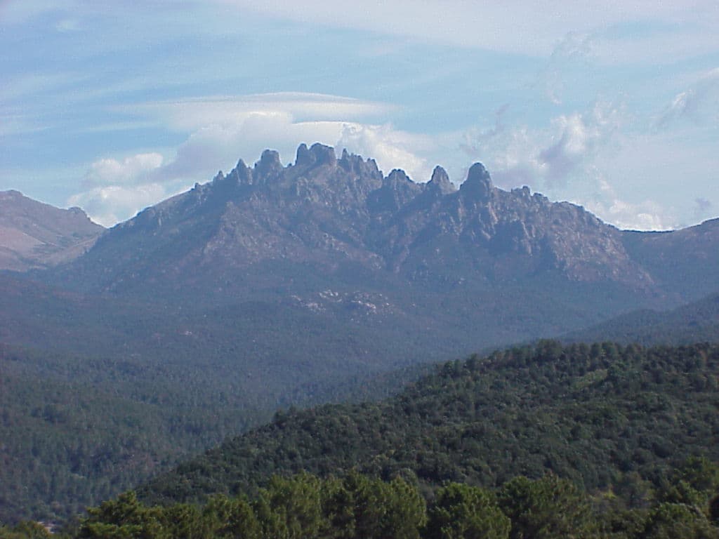
Choose between the classic trail or the more technical alpine variant via the Bavella Needles.
The final stage descends toward the sea, with glimpses of the Mediterranean signaling the trail’s end.
The GR20 was conceived by former general inspector for youth and sports Marcel Schlück and his friend Guy Degos, both hiking enthusiasts. The trail was conceived by Michel Fabrikant back in 1970, representing a successful effort to preserve Corsican mountain heritage while promoting sustainable tourism. The development involved collaboration between local communities, hiking associations, and the French National Park Service to create infrastructure while protecting fragile ecosystems. The western range of Corsica's mountains is made up of volcanic rocks such as rhyolites, ignimbrites and granite, also called terra di signori (land of lords) or "Above the mounts". The island's geological foundation formed 300 million years ago through massive granite intrusions, creating today's dramatic peaks and deep valleys. These ancient formations weather into distinctive rounded boulders, narrow ridges, and vertical cliff faces that define the GR20's challenging terrain. Glacial activity during ice ages carved spectacular cirques, moraines, and U-shaped valleys visible throughout the route. Tortured granite formations line sections like the Arête a Monda, also known as the Arête des Statues, where steep couloirs are sometimes equipped with chains. This geological diversity creates both the technical challenges and stunning scenery that make the GR20 uniquely demanding among European trails.
Essential gear must handle Mediterranean heat, sudden mountain storms, and potential snow conditions even in summer. Weather protection requires waterproof jackets and pants for frequent weather changes, plus layering systems for extreme temperature variations from sea-level heat to alpine conditions above 2,000 meters. Technical equipment includes sturdy hiking boots with ankle support, trekking poles for steep rocky descents, and lightweight mountaineering gear for exposed sections. Navigation benefits from excellent waymarking with red and white paint blazes every 20-50 meters, though weather can obscure markers during storms or fog. Carry detailed IGN topographic maps, compass, and GPS devices alongside comprehensive first aid supplies, emergency shelter, headlamp with extra batteries, and emergency whistle for remote terrain. Sun protection becomes critical at high elevation where UV radiation reflects off granite and snow fields. The GR20 presents serious mountain safety challenges combining extreme physical demands with technical terrain and rapidly changing weather. The northern section requires scrambling skills with exposure to significant fall hazards, while lightning danger increases at high elevation during afternoon thunderstorms. Emergency evacuation proves extremely difficult and expensive from remote locations, making comprehensive insurance coverage essential. Helicopter rescue may be the only option for serious injuries in areas without cellular coverage.
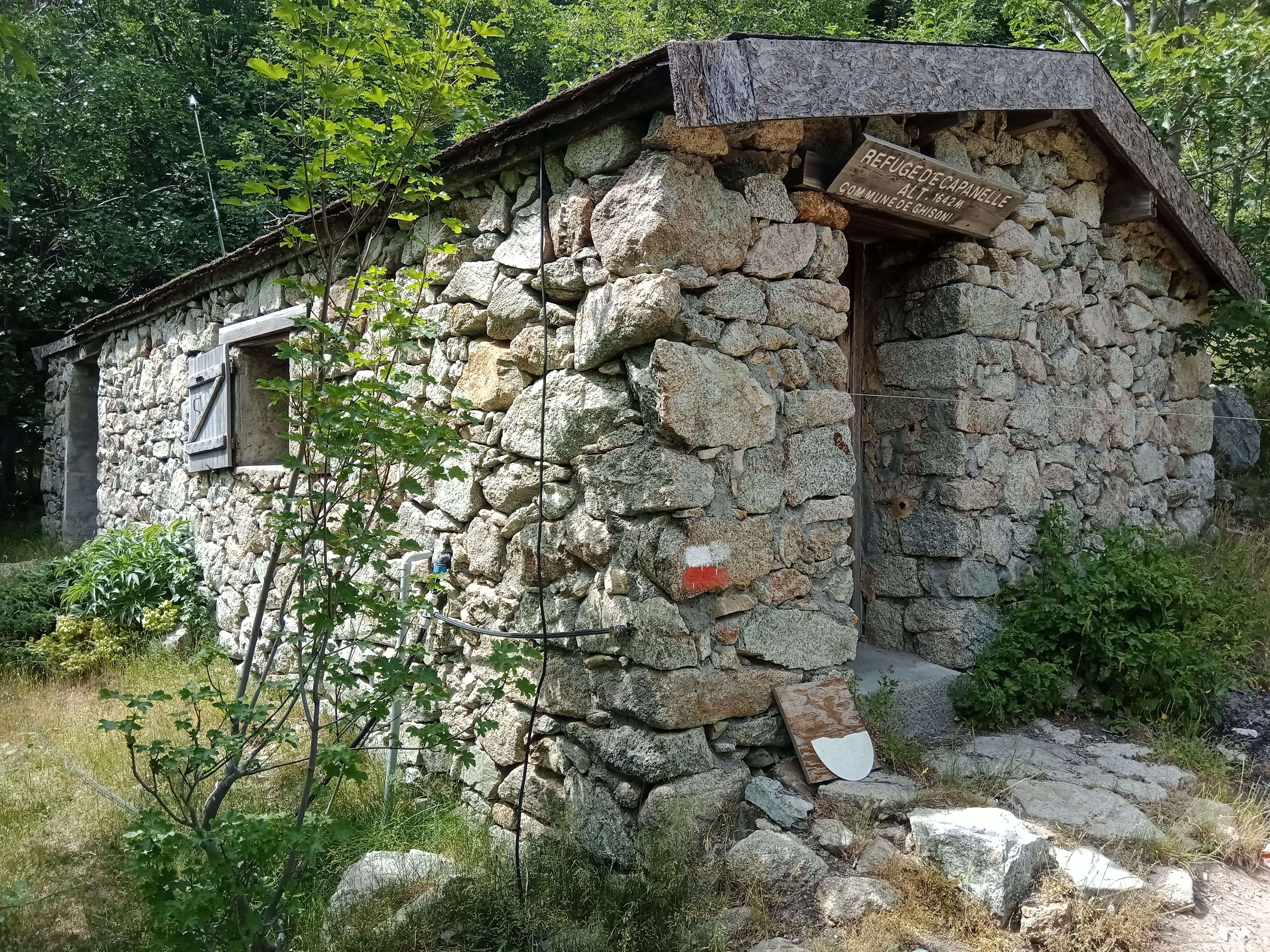
Mountain refuges positioned 4-8 hours apart provide basic dormitory accommodation, meals, and essential supplies, eliminating heavy camping equipment for most hikers. Refuge fees typically range from 15-25 euros per night for dormitory accommodation, with meals additional. Advance reservations are essential during peak season (June-September) through the Corsican National Park Service. Camping is permitted near most refuges in designated areas for 5-10 euros per night, though wild camping is strictly prohibited except in emergencies. Food planning focuses on lightweight, high-energy nutrition for demanding mountain conditions. Most refuges provide meals and basic supplies, allowing hikers to minimize pack weight while ensuring adequate nutrition for 8-12 hour hiking days. Essential trail foods include energy bars, nuts, dried fruits, and electrolyte supplements for hot weather. Water management varies along the route, with reliable sources at refuges and camping areas, plus excellent mountain streams and springs throughout most sections. The GR20 requires no special permits for hiking, though accommodation and camping fees support trail maintenance and environmental protection. National park regulations require following Leave No Trace principles, staying on designated trails, and respecting wildlife protection areas. Violations can result in significant fines. The optimal season runs from mid-June through September when high-altitude snow has melted and refuges operate at full capacity, with July and August offering the most stable weather but highest temperatures and crowds.
GR20 Corsica covers 180 km in total.
Most people complete GR20 Corsica in about 12-20 days.
The best season for GR20 Corsica is Anytime.
GR20 Corsica has 13 checkpoints to log on the way to finishing it.
Keep this journey for later, or share it with someone you would like to go with.