
Challenge
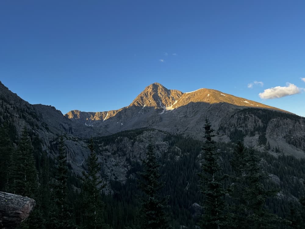
Mount of the Holy Cross
Eagle County, Colorado, United States
About this hike
Mount of the Holy Cross gets its name from a striking cross-shaped snowfield visible on its northeast face. Remote and spiritual, it has long inspired hikers and photographers. The standard route is demanding with major elevation loss and gain before the final summit push.
Quick facts
Distance
12.2 miles
Elevation
14007 ft
Difficulty
Strenuous
Time
6-8 hours
Loading hike tools and interactive map...