

Greater Boston Hikes
Boston, MA
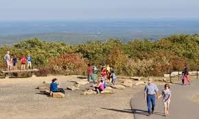
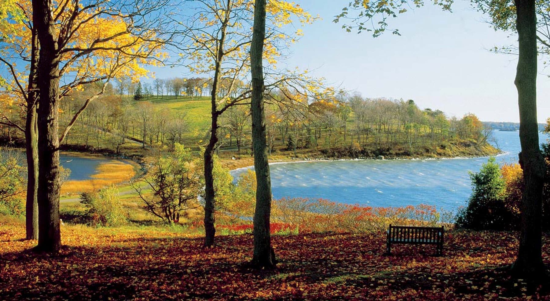
About this quest
The Greater Boston Hikes Slug is a 25-mile hiking challenge that takes you through the city’s diverse neighborhoods and natural landscapes, offering a mix of urban exploration and outdoor adventure within Boston, MA.
Quick facts
- peaks
- 6located
- shape
- collection
- total distance
- 25 miles
- best season
- Summer, Spring, Fall
- avg completion
- 1-2 years
Loading your progress…
Map and places
Choose a place. Visit in any order.
- PlaceSutton, MA
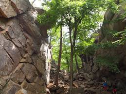
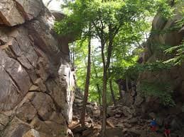
A unique rocky gorge with short but challenging trails.
- PlaceJaffrey, NH
One of the most hiked mountains in the world!
- PlaceBlue Hills Reservation, MA
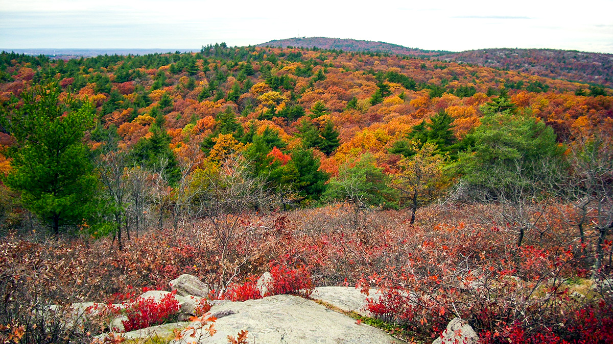
A scenic urban escape with great views of Boston.
- PlaceMiddlesex Fells Reservation, MA
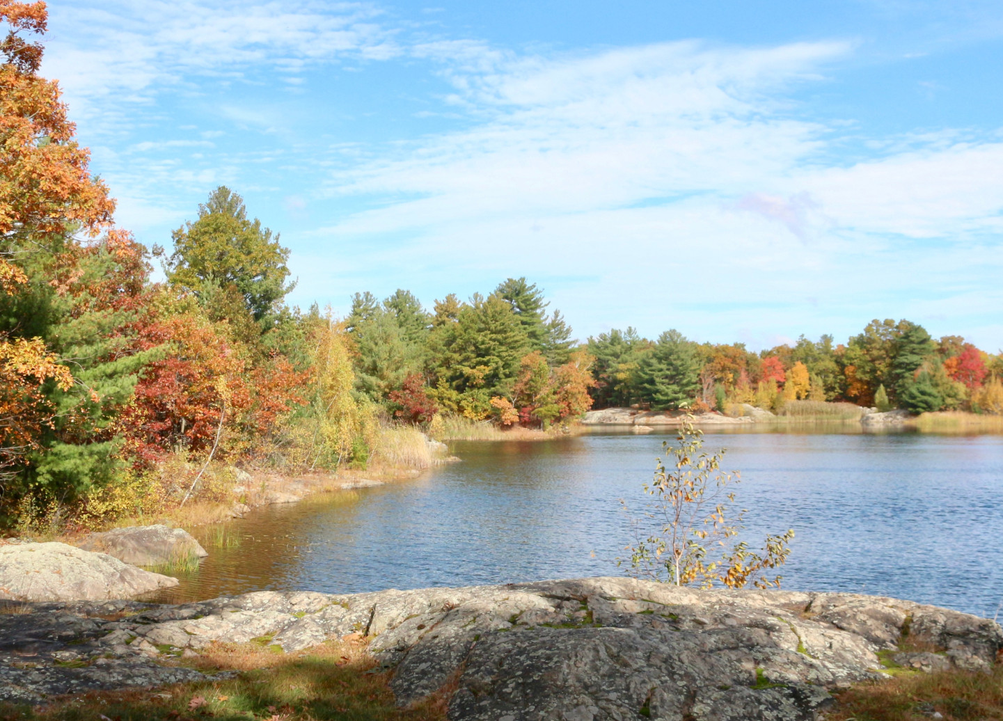
A rugged loop offering great skyline views of Boston.
- PlacePrinceton, MA
The highest peak in eastern Massachusetts with panoramic views.
- PlaceHingham, MA
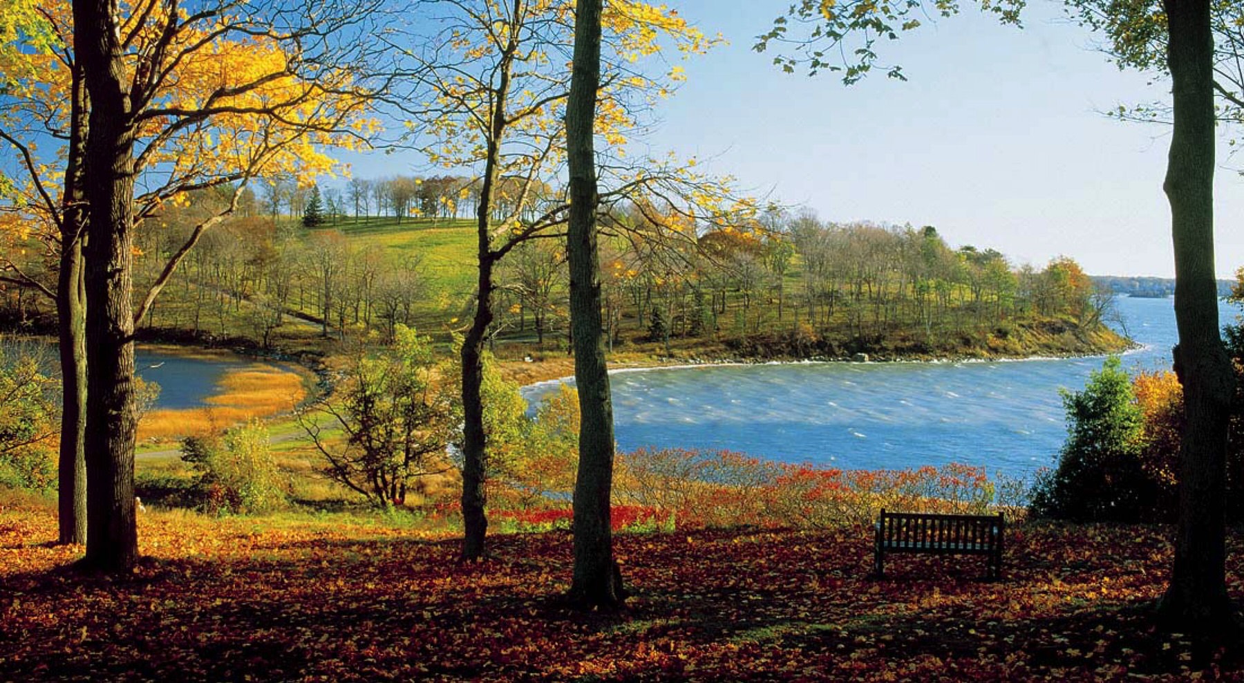
A coastal hike with stunning views of Boston Harbor.
You can explore the itinerary while it loads.
Pins show individual places; there is no route between them. Select a pin to read its place in the itinerary.
Overview
The Greater Boston Hikes stands as an engaging and accessible 25-mile hiking challenge weaving through Boston’s rich mix of urban neighborhoods and green spaces, offering hikers a unique blend of city exploration and nature adventure. It covers approximately 25 miles, looping through various parts of the city, with a total elevation gain around 1,000 feet, making it suitable for hikers of all levels who are comfortable with moderate walking distances.
Statistics and Elevation Profile
The route starts in the historic Boston Common (elevation about 15 feet) and winds through urban trails, river paths, and forested parks, ending near the Charles River Esplanade. The highest points are found in the hilly sections of the Arnold Arboretum and Middlesex Fells Reservation, reaching elevations close to 300 feet. Most days on the trail might involve 5 to 7 hours of walking, depending on pace and stops, with plenty of opportunities to rest and explore cultural landmarks.
Highlights and Landmarks
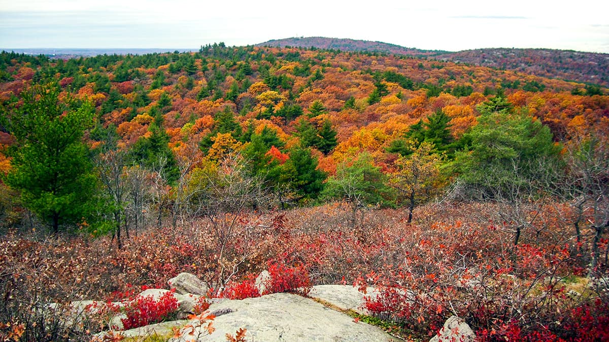
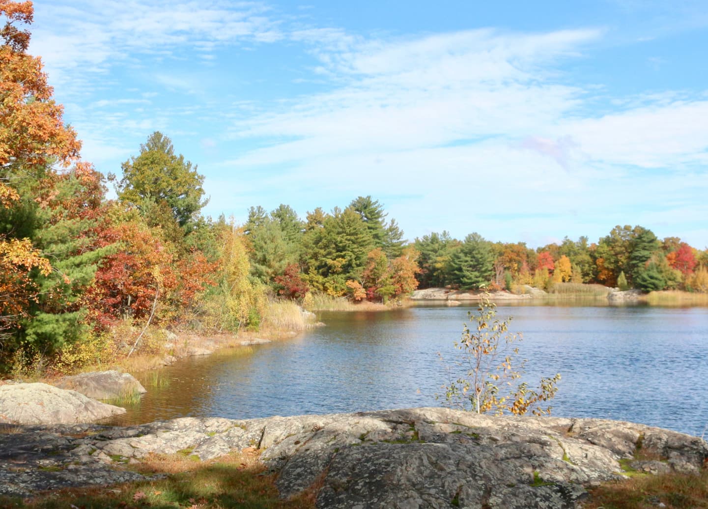
The Greater Boston Hikes delivers an eclectic mix of landscapes and sights. Hikers will stroll through the iconic Boston Common and Public Garden, where manicured lawns and historic statues create a peaceful urban oasis. Crossing over to the Charles River Esplanade, the trail offers sweeping water views, sailboats, and vibrant community activity along its well-maintained pathways. The route continues into the Arnold Arboretum, a 281-acre living museum of trees and plants from around the world, providing a lush, quiet break from the city’s bustle. Further along, the trail ventures into Middlesex Fells Reservation, a large forested area with rocky outcrops and tranquil ponds, giving a true sense of wilderness just minutes from downtown Boston. The challenge also passes through several distinctive neighborhoods, including Jamaica Plain, with its vibrant local culture and colorful street art, and Cambridge, known for its academic atmosphere and historic architecture. Key landmarks include the Zakim Bridge’s modern design, historic sites along the Freedom Trail, and the lively markets and cafes near Harvard Square.
Culture and History
This hiking challenge offers more than just natural beauty; it’s a journey through Boston’s rich cultural and historical fabric. Boston is one of the oldest cities in the United States, and the trail touches on sites connected to the American Revolution, including parts of the Freedom Trail and nearby historic neighborhoods. Walking the Greater Boston Hikes gives hikers a chance to connect with stories of early American history, immigrant communities, and the city’s evolution into a modern urban center. Neighborhoods like Jamaica Plain and Cambridge highlight Boston’s diverse population and vibrant arts scene, showcasing a city where tradition and innovation blend seamlessly. The Arnold Arboretum reflects Boston’s commitment to conservation and education, managed by Harvard University as part of its dedication to public outreach and scientific research. Meanwhile, the Charles River and its esplanades symbolize Boston’s ongoing relationship with its waterfront, which has shaped its economy and lifestyle for centuries.
Geology
While largely urban, the Greater Boston Hikes also reveal interesting geological features typical of the New England region. The trail traverses areas shaped by the last Ice Age glaciers, with glacial deposits visible in rocky outcrops in Middlesex Fells and along the Charles River. These features illustrate how glacial activity carved the landscape, forming the river valleys, drumlins, and moraines that define much of Boston’s natural terrain. The soil and bedrock in the region consist primarily of metamorphic and igneous rocks, dating back hundreds of millions of years, underlying the city and contributing to the varied terrain elevations hikers encounter. Parks and green spaces preserve these natural elements within the urban matrix, providing vital habitats for local wildlife and native plants.
Essential Gear
Because the Greater Boston Hikes combines urban walking with natural trails, essential gear should balance comfort and versatility. Good walking shoes or lightweight hiking boots with supportive soles are recommended to handle pavement, dirt paths, and occasional rocky terrain. Weather in Boston can be unpredictable, so layering is key: breathable shirts, a waterproof jacket, and an extra warm layer for cooler days or early mornings are advisable. A daypack to carry water, snacks, a basic first aid kit, sunscreen, and a map or smartphone with GPS is important. While the trail is mostly well-marked in urban sections, having navigation tools helps when entering less familiar parks or forested areas. Trekking poles are optional but may assist on uneven or steep sections in places like Middlesex Fells.
Accommodation
Unlike long-distance mountain trails, the Greater Boston Hikes does not require overnight accommodation along the route, as it is designed for day hikes. However, Boston’s extensive lodging options—from budget-friendly hostels to mid-range hotels and luxury stays—are easily accessible before or after completing the challenge. For those wanting to break the hike into sections over multiple days, accommodations in neighborhoods like Back Bay, Jamaica Plain, or Cambridge provide convenient access points. Booking in advance is recommended during the busy spring and fall hiking seasons or during major city events. Public transit and rideshare services connect easily to trailheads and urban hubs.
Food and Water
Boston offers abundant food options along the Greater Boston Hikes, making self-catering less critical than in remote mountain routes. Urban sections pass numerous cafes, food trucks, and restaurants where hikers can enjoy anything from quick snacks to full meals featuring local specialties like clam chowder, lobster rolls, or multicultural cuisine. Water fountains and refill stations are common in parks and public spaces, but hikers should carry at least 2 liters of water during the hike, especially in warmer months. Bringing a reusable water bottle and a small water filter or purification tablets is a good precaution for less urbanized areas or when visiting natural springs within reservations.
Navigation
The Greater Boston Hikes benefits from excellent signage in urban areas, with clear markers in parks like Boston Common, the Esplanade, and Arnold Arboretum. Digital maps, city trail apps, and GPS devices work well for route finding, especially when moving between neighborhoods or entering wooded areas where trails intersect. Detailed maps from local hiking organizations and Boston’s park services provide reliable information. The challenge can be started and ended at multiple points, giving hikers flexibility in planning their days. While the trail is generally safe and accessible, weather conditions such as heavy rain may make some natural sections slippery or require minor detours.
Permits and Safety
Safety on the Greater Boston Hikes is straightforward, with low to moderate risk due to its urban and park settings. Hikers should be aware of typical city precautions, such as staying in well-populated areas after dark and securing personal belongings. In natural areas like Middlesex Fells, caution is advised on uneven terrain, slippery rocks, and near water edges. Weather can change rapidly in New England, so hikers should be prepared for sudden rain or wind. Carrying a basic first aid kit and knowing emergency contact numbers for Boston’s parks and police departments adds peace of mind. Pet owners should keep dogs leashed in designated areas, and hikers should respect local wildlife and park rules. The Greater Boston Hikes takes place primarily on public land and city-managed parks where no special permits or entrance fees are required for day hiking. Some parking areas near popular trailheads may charge fees, especially on weekends and holidays. Public transportation provides a cost-effective alternative to parking.
Greater Boston Hikes: common questions
How long is Greater Boston Hikes?
Greater Boston Hikes covers 25 miles in total.
How long does Greater Boston Hikes take to complete?
Most people complete Greater Boston Hikes in about 1-2 years.
When is the best time to do Greater Boston Hikes?
The best season for Greater Boston Hikes is Summer, Spring, Fall.
How many checkpoints does Greater Boston Hikes have?
Greater Boston Hikes has 6 checkpoints to log on the way to finishing it.
Plan your journey.
Keep this journey for later, or share it with someone you would like to go with.