
.JPG&w=3840&q=75&dpl=dpl_BopNME9LWLsJnQ9XffUX3zkS7Twj)
Kaiser-Franz-Josefs-Höhe to Heiligenblut
2,350 m14
The trail starts beneath the Pasterze Glacier, offering grand alpine views before descending through larch forests to the picturesque village of Heiligenblut.
.jpg&w=3840&q=75&dpl=dpl_BopNME9LWLsJnQ9XffUX3zkS7Twj)
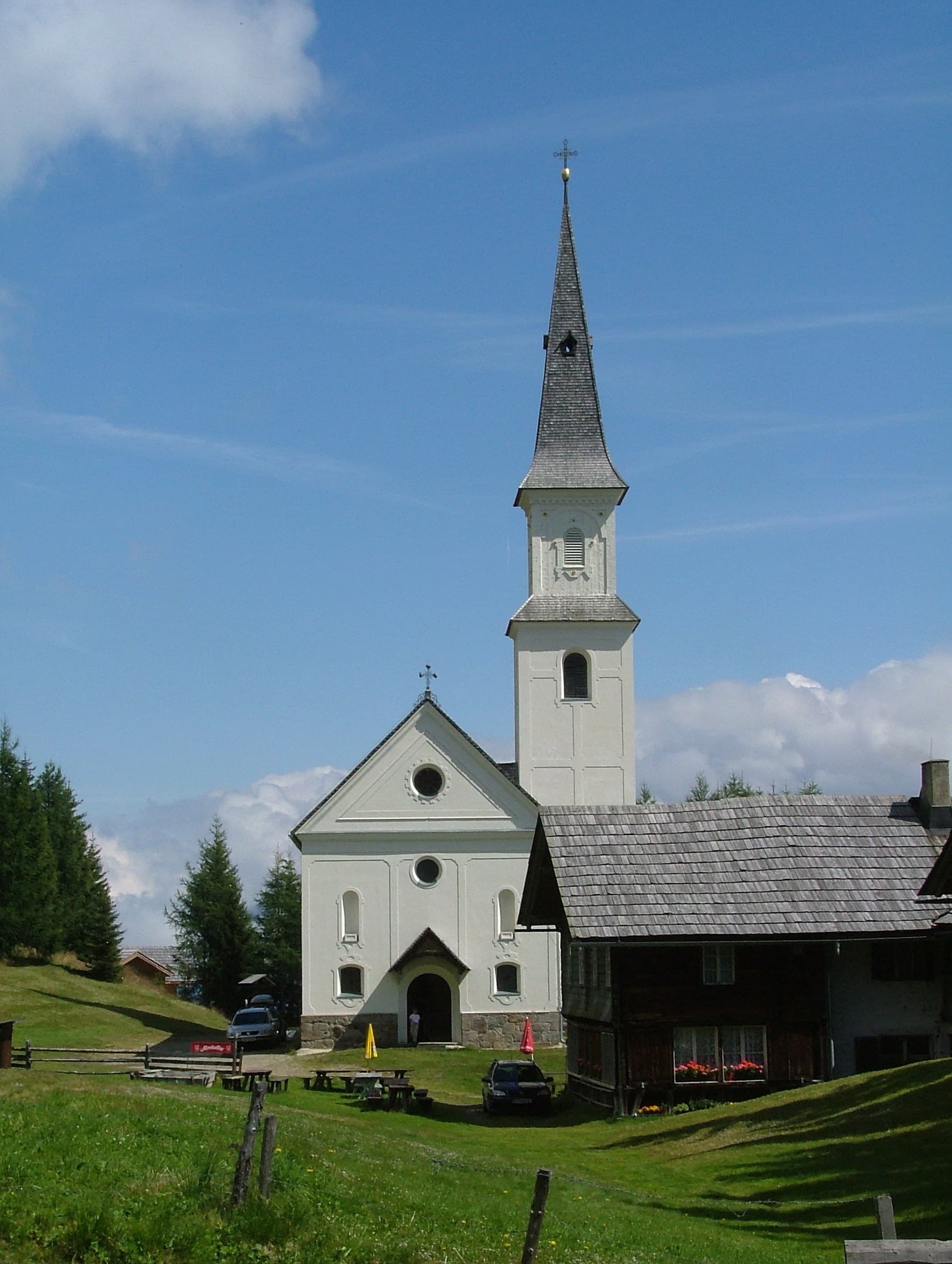

Kals am Großglockner, Tyrol, Austria


.jpg&w=3840&q=75&dpl=dpl_BopNME9LWLsJnQ9XffUX3zkS7Twj)
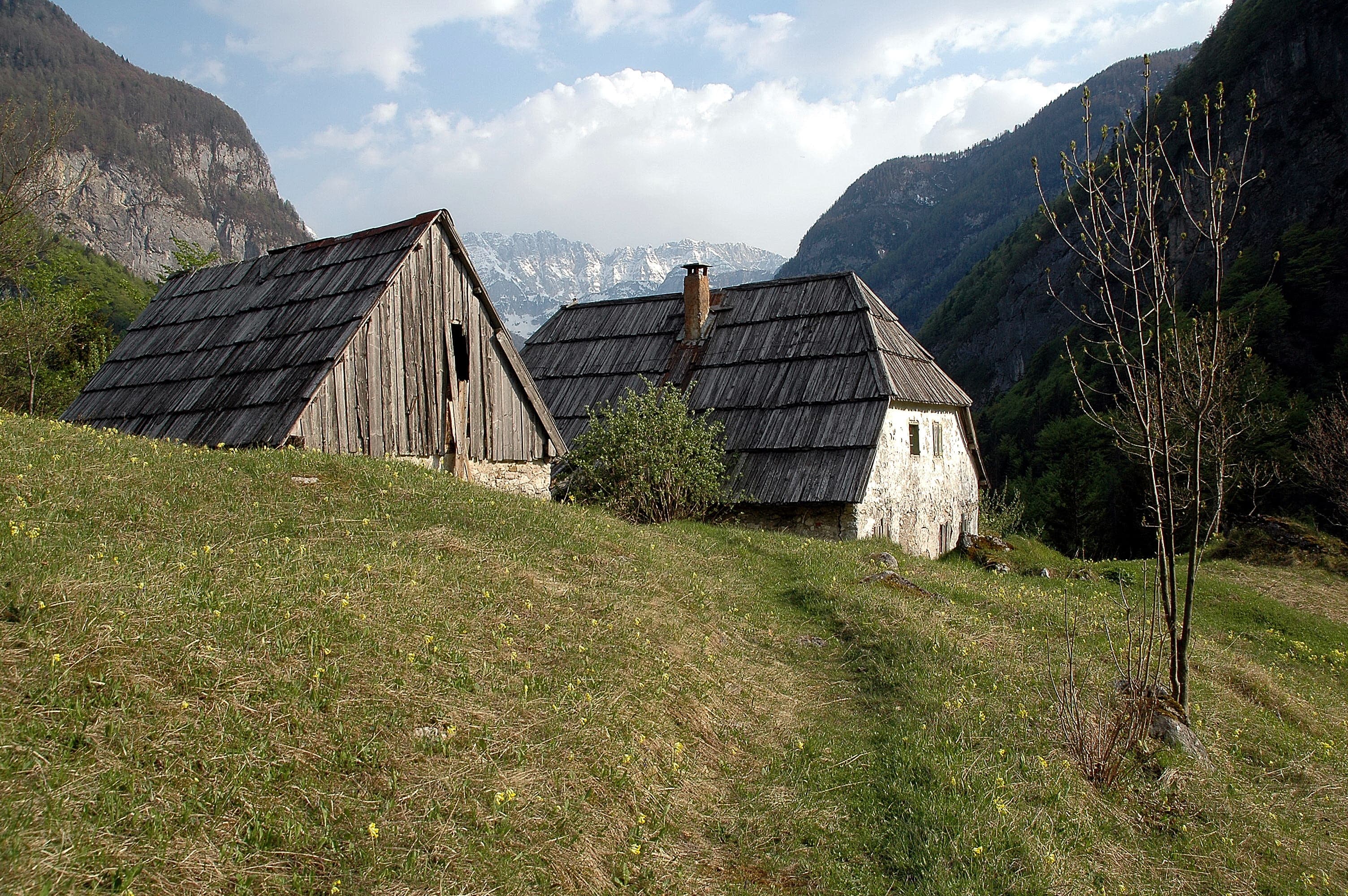
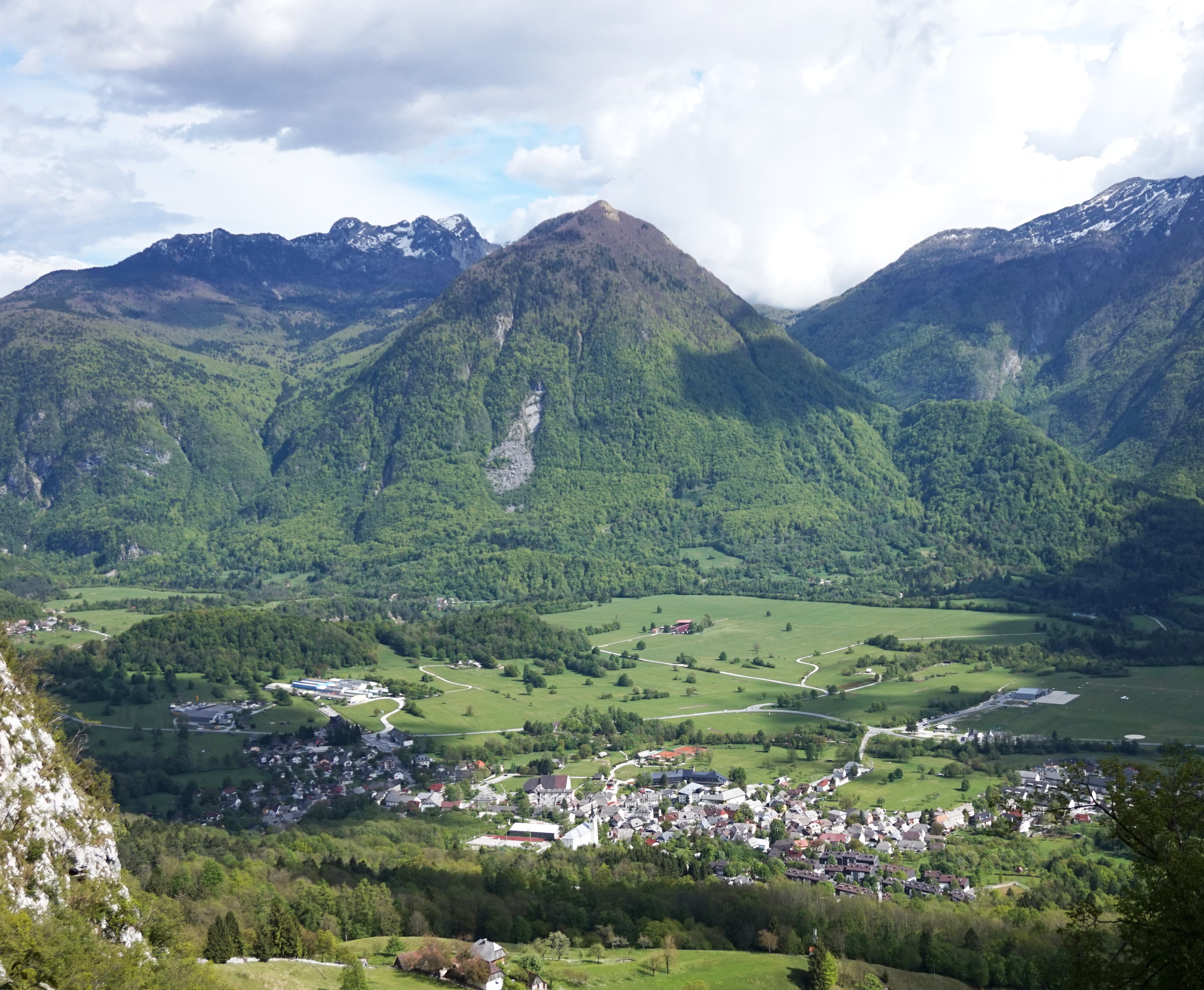
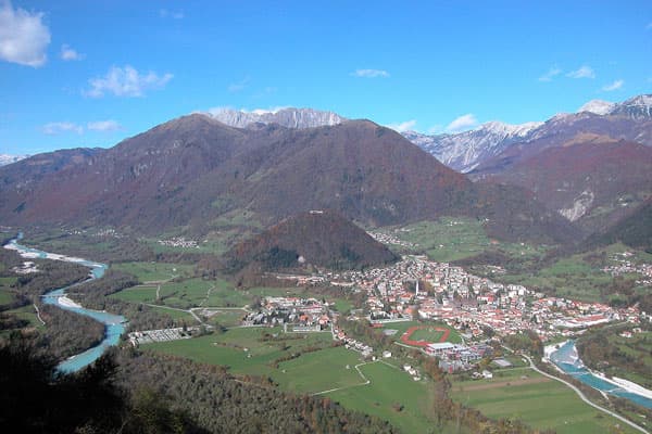

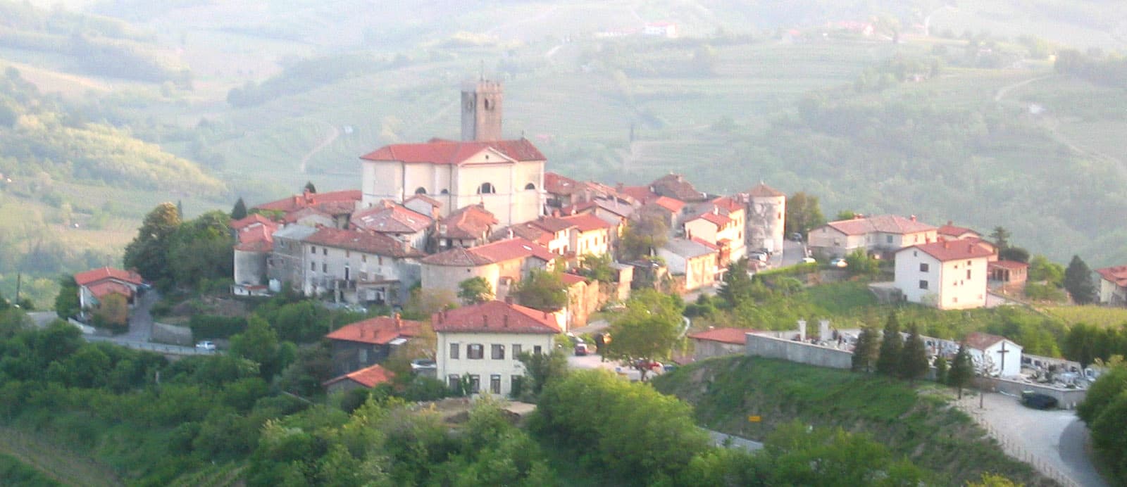
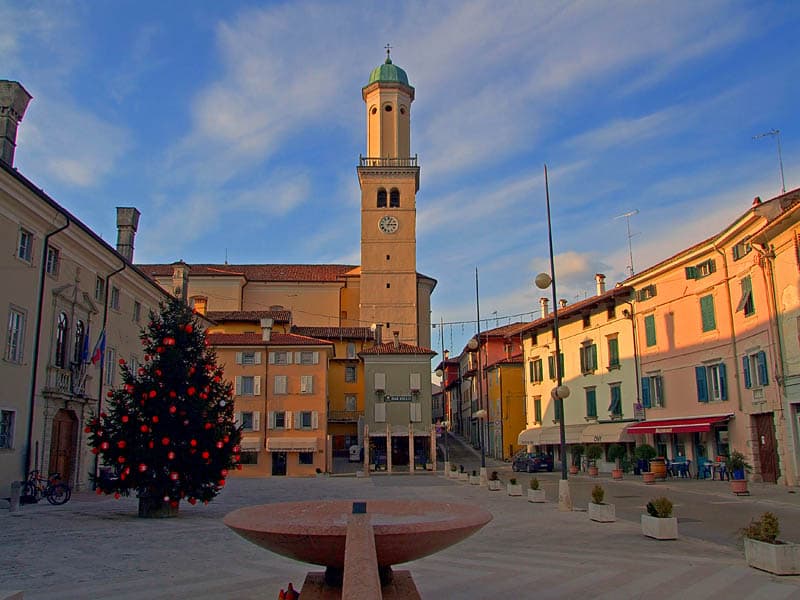

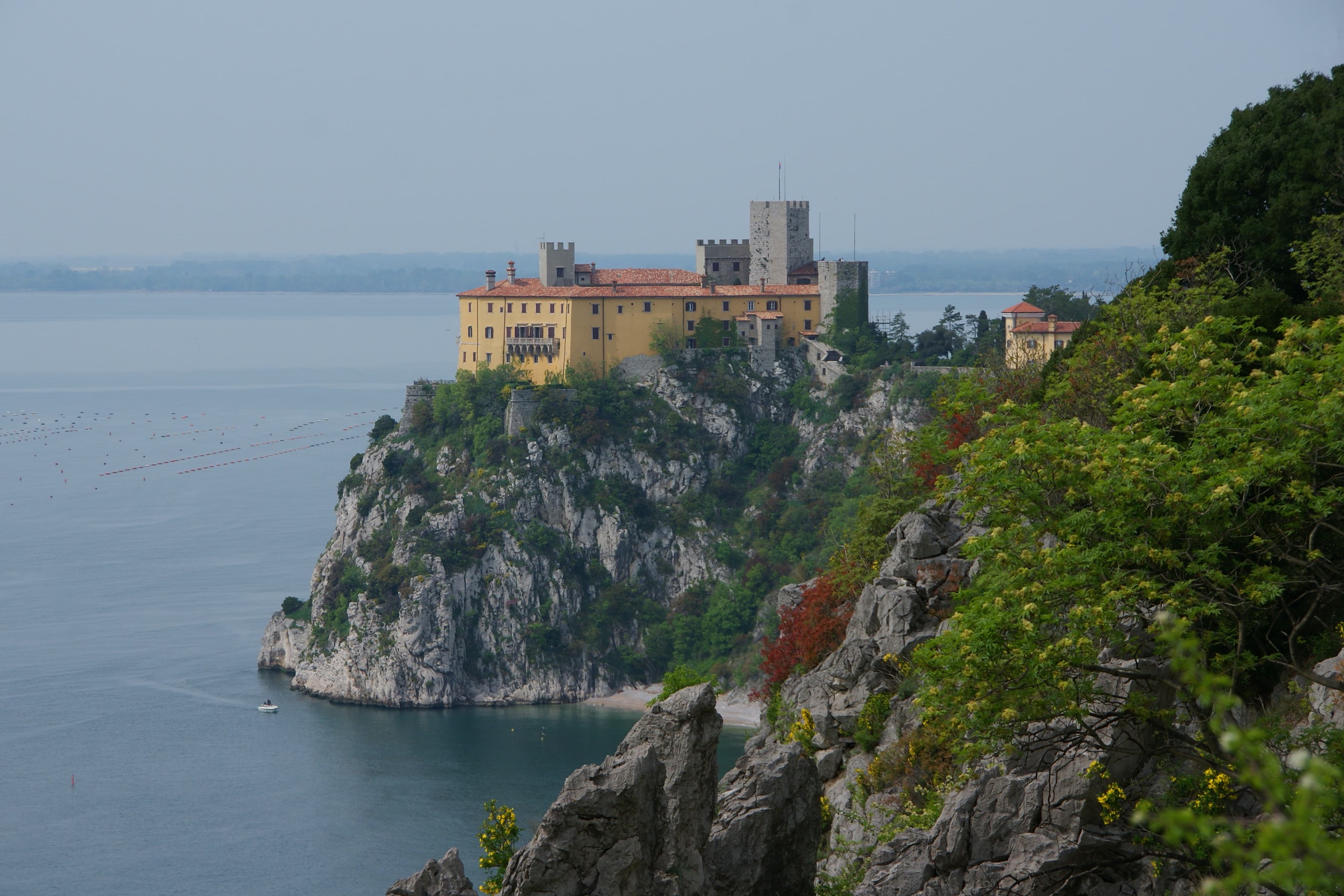
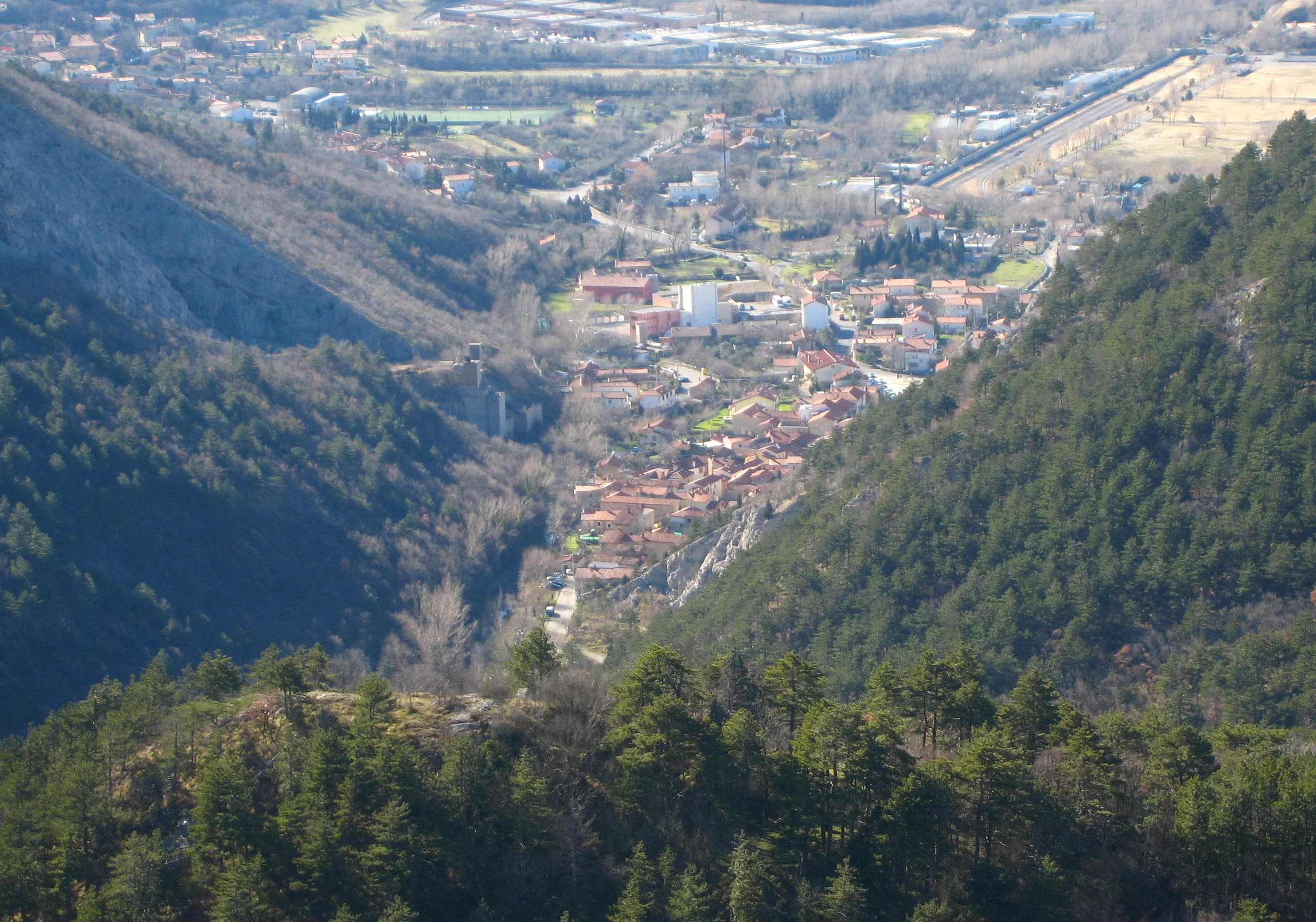

Experience Europe's most spectacular three-country hiking adventure on the 750-kilometer Alpe Adria Trail. This extraordinary journey takes you from Austria's majestic Großglockner massif through Slovenia's emerald lakes and mystical caves to Italy's sun-drenched Adriatic coast in just 4-6 weeks of unforgettable walking. Cross international borders seamlessly as you traverse dramatic alpine landscapes, discover medieval towns, and experience the rich cultural tapestry of Central Europe. Walk through pristine Julian Alps, marvel at Lake Bled's fairy-tale beauty, explore UNESCO World Heritage caves, and savor world-class cuisine from hearty Austrian mountain fare to fresh Italian seafood.
Quick facts
Loading your progress…
2,350 m at Kaiser-Franz-Josefs-Höhe to Heiligenblut, up to 2,350 m at Kaiser-Franz-Josefs-Höhe to Heiligenblut, down to 50 m at Bagnoli della Rosandra – Muggia.
The trail starts beneath the Pasterze Glacier, offering grand alpine views before descending through larch forests to the picturesque village of Heiligenblut.
This stage follows the scenic Möll Valley, passing waterfalls, forest trails, and heritage-rich hamlets nestled in the shadow of the High Tauern.
A steady climb into the mountains, ending at the pilgrimage church of Marterle—Austria’s highest church, surrounded by serene pastures.
A scenic downhill stage with expansive views of the Mölltal Valley, this stage winds through alpine pastures and shady forest paths.
Crossing the valley floor and climbing again, this stage transitions from farmland to alpine forests with views of waterfalls and rugged cliffs.
This long and rewarding stage takes you through Hohe Tauern National Park, with high meadows, alpine flora, and panoramic ridges.
A classic alpine-to-valley stage with dramatic waterfalls, old mule paths, and deep green forest before descending to the market town of Obervellach.
A shorter stage with cultural stops and gentle terrain, this hike leads to the sacred hill of Danielsberg, rich with Roman history and scenic charm.
Enjoy open ridgelines and wooded sections with wide views of the Möll and Drau valleys on this undulating mid-mountain route.
Descend gradually through pine woods and past small villages to reach Gmünd, the charming medieval town known for its artists and castles.
A scenic lakeside approach with forest walks and panoramic vistas of Millstätter See. It’s a refreshing mix of water, woods, and mountain air.
This demanding uphill stage brings you into the high pastures and panoramic lookout points of Millstätter Alpe, above the lake basin.
ollow the Langalmbach stream deep into the Nockberge range, where rounded summits and grazing lands create a serene mountain landscape.
This alpine stage winds between rounded Nock peaks and peaceful mountain huts, offering a taste of traditional Carinthian mountain life and cuisine.
A gentle descent through alpine meadows and forest to the spa town of Bad Kleinkirchheim.
This stage climbs steadily to Gerlitzen Alpe, offering sweeping views over Lake Ossiach and the Julian Alps, rewarding hikers with a high-alpine experience and scenic trails.
Descend from open alpine ridges into dense forest and meadows, arriving at Ossiach village by the peaceful lake of the same name, a favorite for swimmers and nature lovers.
Traverse idyllic Carinthian farmland, forested paths, and quiet villages before arriving in Velden, a lively lakeside resort on Wörthersee, known for its vibrant promenade and summer atmosphere.
Climb gently out of Velden, crossing rolling hills and tranquil woodlands before reaching the turquoise shores of Faaker See. Baumgartnerhöhe offers a peaceful perch above the lake.
This cross-border stage climbs toward Jepca Saddle, then descends through larch forests into Slovenia, ending in Kranjska Gora—a popular alpine base for hiking, skiing, and Triglav explorations.
A spectacular and challenging mountain stage across Vršič Pass (1,611 m), the highest in Slovenia, descending into the remote and stunning Soča Valley at Trenta.
A relaxing riverside trail along the turquoise Soča, passing waterfalls, suspension bridges, and serene glacial pools, ending in the outdoor adventure hub of Bovec.
Climb above Bovec through forests and past WWI historical sites, with views of Mt. Krn before descending into the quiet mountain village of Drežnica.
This scenic stage winds through meadows, karst plateaus, and forested trails to reach Tolmin, known for its gorge, music festivals, and welcoming town square.
Journey through remote hills and small Slovenian settlements before entering Italy near Tribil di Sopra—a quiet village nestled in the hilly border region of Friuli.
Move through vineyards, forests, and hamlets to reach the UNESCO-listed town of Cividale, rich with Lombard architecture, Roman history, and lively Italian culture.
This stage leads through gently rolling hills, olive groves, and vineyards along the Italian-Slovenian border, with glimpses of the Soča Valley and plenty of wine-tasting stops.
This cross-border stage meanders through vineyards and olive groves from Slovenia into Italy, offering cultural stops and scenic hilltop views. Description: Traverse terraced slopes and border hamlets into Italy’s Collio wine region.
A relaxed stage through wine estates, rural villages, and WWI memorial sites in Friuli. Description: Stroll through vineyards and small towns toward the historic fortress city of Gradisca.
Enter the karst region with dramatic sea cliffs and WWI heritage paths leading to the Gulf of Trieste. Description: Pass through the Karst plateau and descend toward the coastal cliffs of Duino.
Panoramic hiking along the Sentiero Rilke coastal trail, then inland to karst villages near Trieste. Description: Follow cliffside paths before climbing gently into limestone plateaus above the sea.
Quiet trails cross borders again as you enter the rugged Val Rosandra with dramatic cliffs and ruins. Description: Hike through forested karst ridges and descend into the Rosandra Valley.
The trail concludes at the sea with coastal views, olive groves, and the colorful town of Muggia. Description: Finish the journey with a Mediterranean flourish as you reach the Adriatic shore.
Area: Three countries - Austria (Carinthia), Slovenia, and Italy (Friuli-Venezia Giulia) Total Distance: 750 kilometers (466 miles) Total Stages: 43 stages Highest Point: Near Großglockner in Austria at approximately 3,798 meters (12,461 feet) Lowest Point: Sea level at Muggia on the Adriatic coast Individual stages average around 20 kilometers long and can be covered with an average walking time of six to eight hours. The trail begins at Austria's highest peak, Großglockner, and descends through alpine meadows, pristine lakes, and rolling hills before reaching the Mediterranean climate of the Italian coast. The trail encompasses diverse terrain, including mountainous regions, forests, and valleys with significant elevation changes. This diversity makes the trail accessible to hikers of various experience levels while providing substantial rewards for seasoned adventurers.
The Alpe Adria Trail showcases some of Central Europe's most spectacular and diverse landscapes across three distinct countries. The Austrian section features dramatic alpine scenery around Großglockner, pristine mountain lakes, and the cultural heritage of Carinthia. The Slovenian portion offers the emerald beauty of the Julian Alps, the crystal-clear waters of Lake Bled and Lake Bohinj, and the fascinating underground world of the Škocjan Caves. The Italian section provides Mediterranean charm with rolling hills, historic towns, and the unique Karst landscape before reaching the Adriatic coast. The trail spends several days jumping back and forth between Slovenia and Italy, exploring the Karst region and the Goriška Brda wine region, to end in Muggia on the Adriatic coast. Notable landmarks include the majestic Großglockner massif, the picturesque Lake Bled with its island church, the medieval town of Cividale del Friuli, and the UNESCO World Heritage Škocjan Caves. The trail crosses numerous mountain passes, follows ancient trade routes, and connects historic towns that have served as cultural crossroads for centuries.
The Alpe Adria Trail connects hikers with centuries of Central European history, following routes that have served as important trade and cultural exchange corridors since Roman times. The trail region has been shaped by Austrian, Slavic, and Italian influences, creating a unique cultural blend visible in architecture, cuisine, and local traditions. The route passes through areas that witnessed significant historical events, from Roman settlements to medieval trade routes, and regions affected by both World Wars. Walking the trail today allows hikers to experience this complex history while enjoying the peaceful cooperation between three nations that now share this incredible natural heritage. The trail represents modern European cooperation at its finest, with Austria, Slovenia, and Italy working together to create and maintain this international hiking route. Local communities along the trail have embraced sustainable tourism, offering hikers authentic cultural experiences while preserving their traditional ways of life.
The Alpe Adria Trail traverses some of Europe's most geologically diverse terrain, telling the story of mountain formation, glacial activity, and limestone karst processes across three countries. The Austrian section crosses the Eastern Alps, featuring ancient crystalline rocks, glacial valleys, and dramatic peaks formed by tectonic collision between the European and African plates. The Slovenian portion showcases the Julian Alps' limestone formations, created from ancient sea floor deposits that were uplifted and carved by glacial action. The region's extensive cave systems, including the famous Škocjan Caves, demonstrate the power of water dissolving limestone over millions of years. The Italian section transitions through the unique Karst landscape, where limestone bedrock creates underground rivers, sinkholes, and extensive cave networks. This geological diversity creates the varied ecosystems and dramatic landscapes that make the Alpe Adria Trail so visually spectacular.
Weather protection requires comprehensive layering systems capable of handling alpine conditions in the mountains to Mediterranean weather near the coast. The trail crosses significant elevation changes, requiring gear suitable for snow and cold temperatures in the high mountains and warm, sunny conditions at sea level. Waterproof jackets and pants become essential for mountain weather changes, while lighter clothing is needed for the coastal sections. Navigation equipment should include detailed maps for all three countries, compass, and GPS devices with offline mapping capability. The trail is generally well-marked with distinctive signs, but backup navigation prevents problems when markers become damaged or obscured by weather. Safety equipment includes comprehensive first aid supplies, emergency whistle, and reliable headlamp with extra batteries for early starts or late finishes. Trekking poles prove valuable for the mountainous sections and long descents. Sun protection becomes critical at high elevations and exposed ridges, while insect repellent is important during summer months. Quality hiking boots with good ankle support are essential for the varied terrain, from rocky alpine paths to forest trails and paved sections through towns. Gaiters help protect against debris and provide additional ankle support on challenging terrain.
The Alpe Adria Trail offers excellent accommodation diversity across three countries, allowing hikers to choose from mountain huts, hotels, guesthouses, bed-and-breakfasts, and camping options based on personal preferences and budget. The trail infrastructure is well-developed, with accommodations strategically located to match the daily stage distances. Mountain huts in the Austrian and Slovenian Alps provide authentic alpine experiences with hearty meals and comfortable dormitory-style accommodation. These huts often serve as social hubs where hikers from different countries meet and share experiences. Hotels and guesthouses in towns along the route offer comfortable private rooms with modern amenities. Booking accommodations in advance is strongly recommended, particularly during peak season (June through September) and in popular areas like Lake Bled. Many accommodations offer services specifically for long-distance hikers, including luggage transport, packed lunches, and early breakfast options. The trail's popularity means that last-minute bookings can be difficult, especially in smaller towns with limited accommodation options. Planning accommodation locations also determines daily walking distances, so early booking allows for optimal itinerary planning.
Food and water planning for the Alpe Adria Trail benefits from the excellent infrastructure across all three countries, with regular opportunities to resupply in towns and villages along the route. The trail passes through regions famous for their culinary traditions, offering hikers the chance to experience Austrian alpine cuisine, Slovenian specialties, and Italian regional dishes. Mountain huts and guesthouses typically provide excellent meals featuring local ingredients and traditional recipes. Austrian sections offer hearty mountain fare, Slovenian portions feature fresh local produce and traditional dishes, while Italian sections provide Mediterranean cuisine with fresh seafood near the coast. Local markets, restaurants, and shops in towns along the route provide resupply opportunities and cultural experiences. You can move between mountain passes and charming villages during the daylight hours and finish off the evening at a wine tasting, a museum, or relishing fresh gelato. Water sources are generally reliable throughout the trail, with mountain streams, springs, and taps available at regular intervals. Water quality is excellent in the mountain regions, though purification systems provide additional safety for natural sources.
Navigation on the Alpe Adria Trail is generally straightforward, with the trail well-marked using distinctive international hiking symbols and country-specific trail markers. The route follows established hiking trails, forest paths, and minor roads for most of its length, with clear signage at junctions and decision points. The most challenging navigation occurs in urban areas and complex trail junctions, where careful attention to waymarking is essential. Each country uses slightly different marking systems, but the trail maintains consistency with international long-distance trail standards. Detailed guidebooks and maps are available for the entire trail, providing invaluable support for navigation and trip planning. Digital resources include GPS tracks and mobile apps that work offline, essential for areas with limited cellular coverage in remote mountain regions. Local tourism offices in each country provide current trail information, accommodation booking assistance, and weather updates that can be valuable for planning and safety.
The Alpe Adria Trail presents moderate to challenging safety considerations typical of alpine hiking, with weather exposure being the primary concern. The high mountain sections can experience rapid weather changes, including snow and storms even during summer months. Mountain rescue services are available in all three countries, but prevention through proper planning and equipment remains essential. River crossings and steep terrain require careful attention, particularly during wet conditions when rocks and trails become slippery. Some sections involve exposed ridges and steep drop-offs that demand concentration and proper footwear. Wildlife encounters are generally minimal, though bears are present in Slovenian forests and proper food storage is recommended. Tick-borne diseases are a concern in forested areas, requiring protective clothing and regular tick checks.
Border crossings between countries are generally seamless within the European Union, but carrying proper identification is required. Emergency services numbers vary by country, and language barriers may complicate emergency communications. The Alpe Adria Trail requires no special permits for hiking, as it follows established public trails and rights of way across all three countries. However, some accommodations, particularly mountain huts, may require advance booking and payment. Camping regulations vary by country and region, with wild camping generally prohibited in populated areas and national parks. Designated camping areas and official campgrounds provide legal alternatives with proper facilities. Tourist taxes apply in some towns and regions, typically ranging from 1-3 euros per person per night. These fees support local tourism infrastructure and trail maintenance programs. Transportation costs for reaching the trailhead and returning home should be factored into trip planning, as the trail's international nature requires coordination between different transportation systems and potentially multiple currencies.
Alpe Adria Trail covers 750 km in total.
Most people complete Alpe Adria Trail in about 1-1.5 months.
The best season for Alpe Adria Trail is Summer, Spring, Fall.
Alpe Adria Trail has 33 checkpoints to log on the way to finishing it.
Keep this journey for later, or share it with someone you would like to go with.