
New England Terrifying 25
New England
About this quest
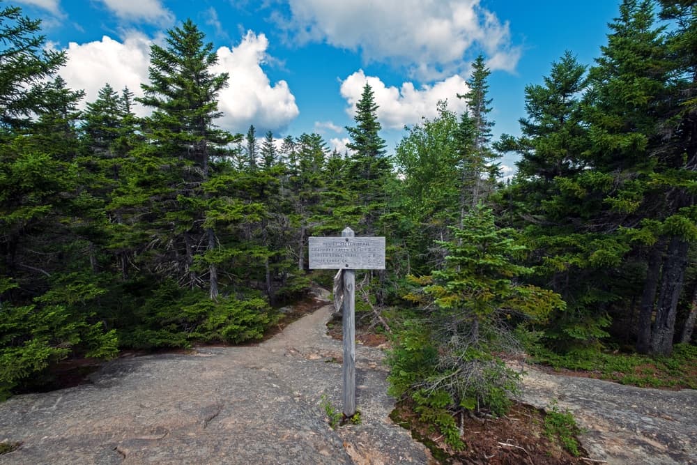
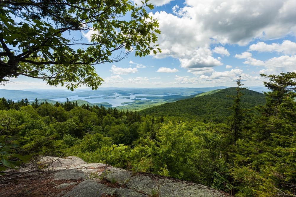
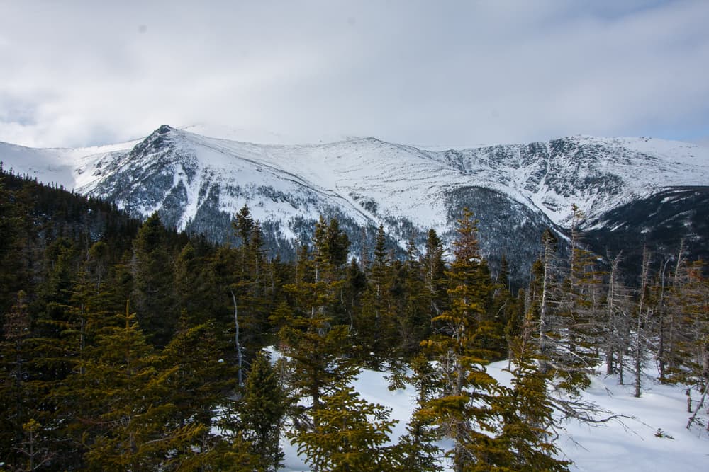
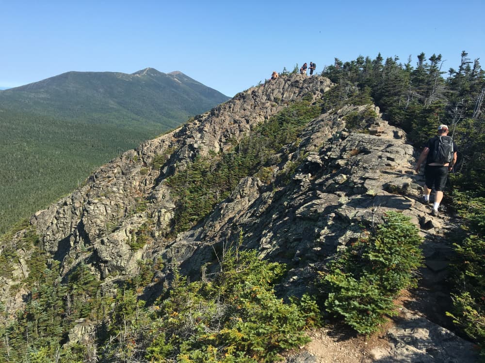
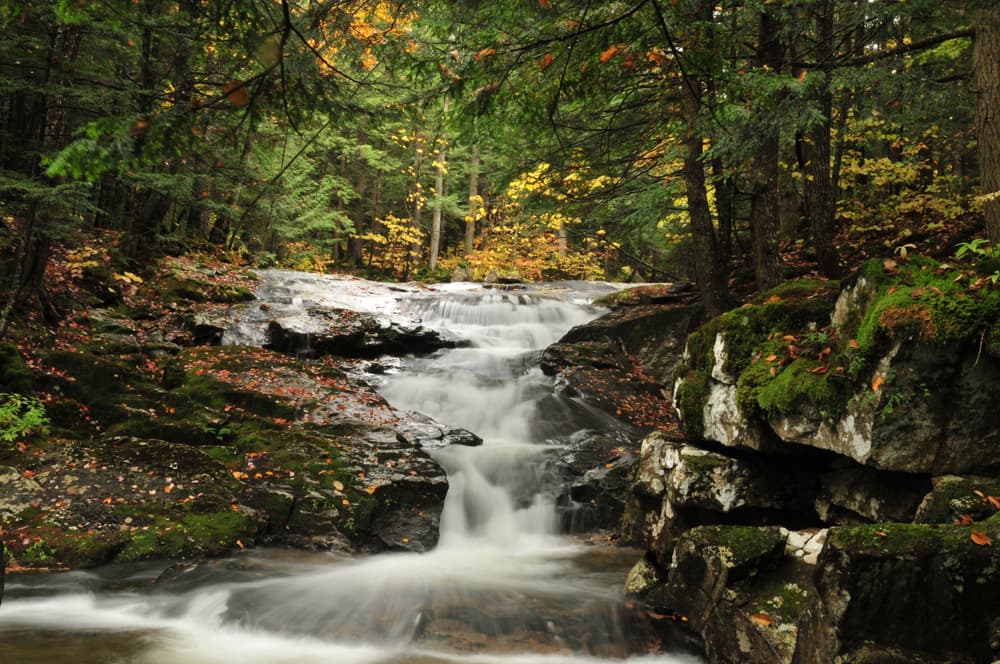
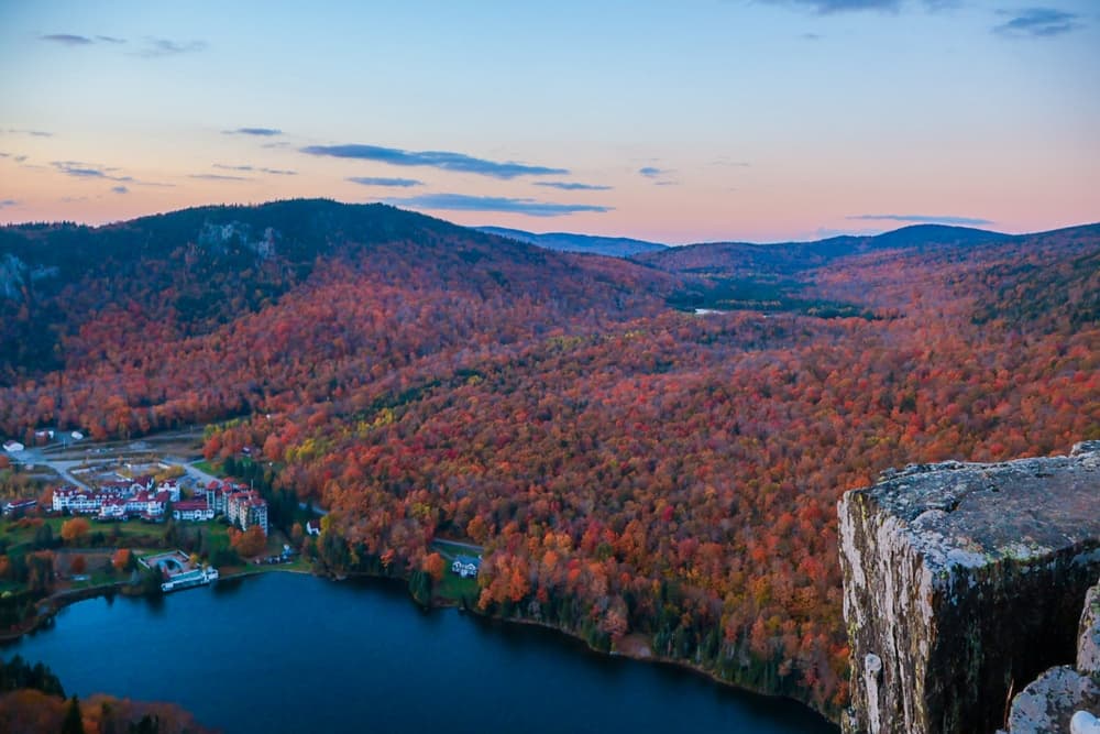
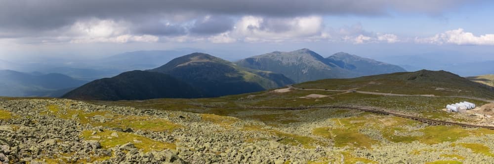
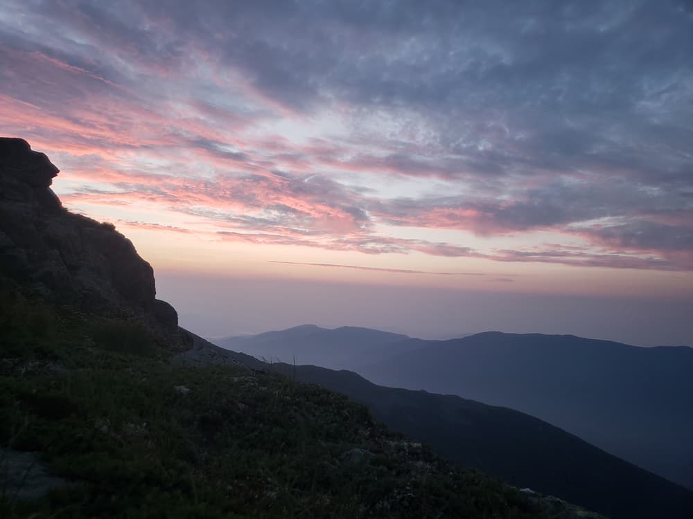
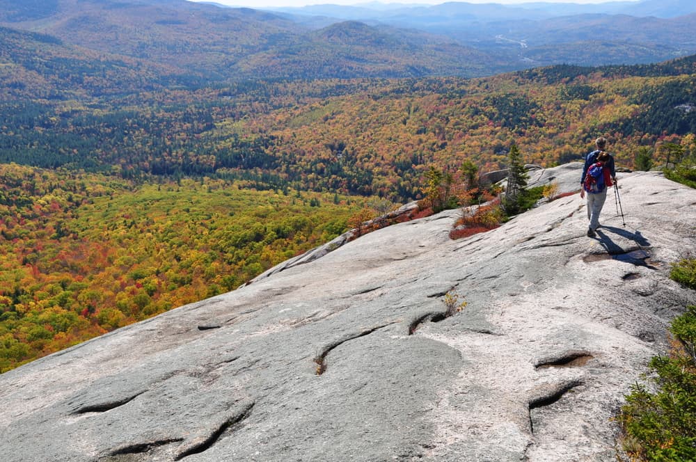
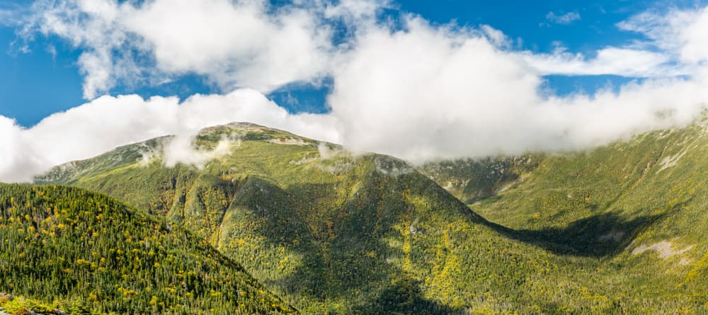
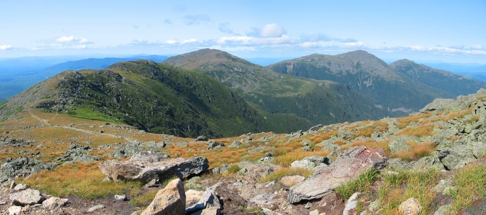
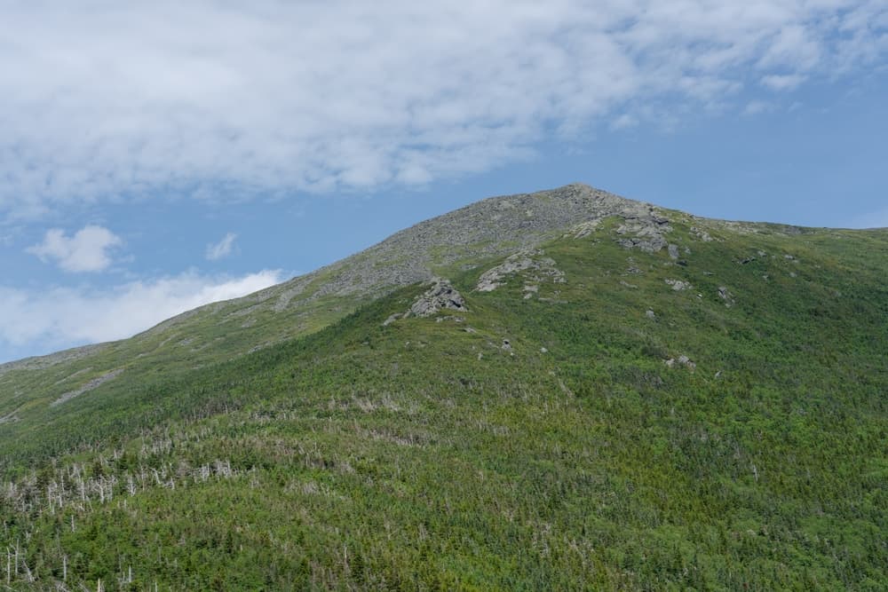
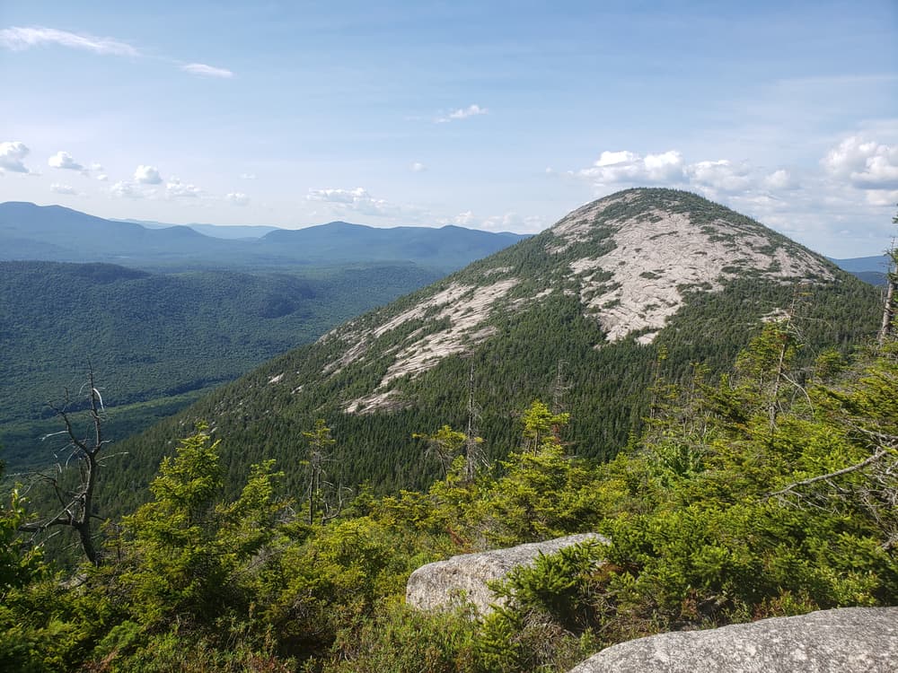
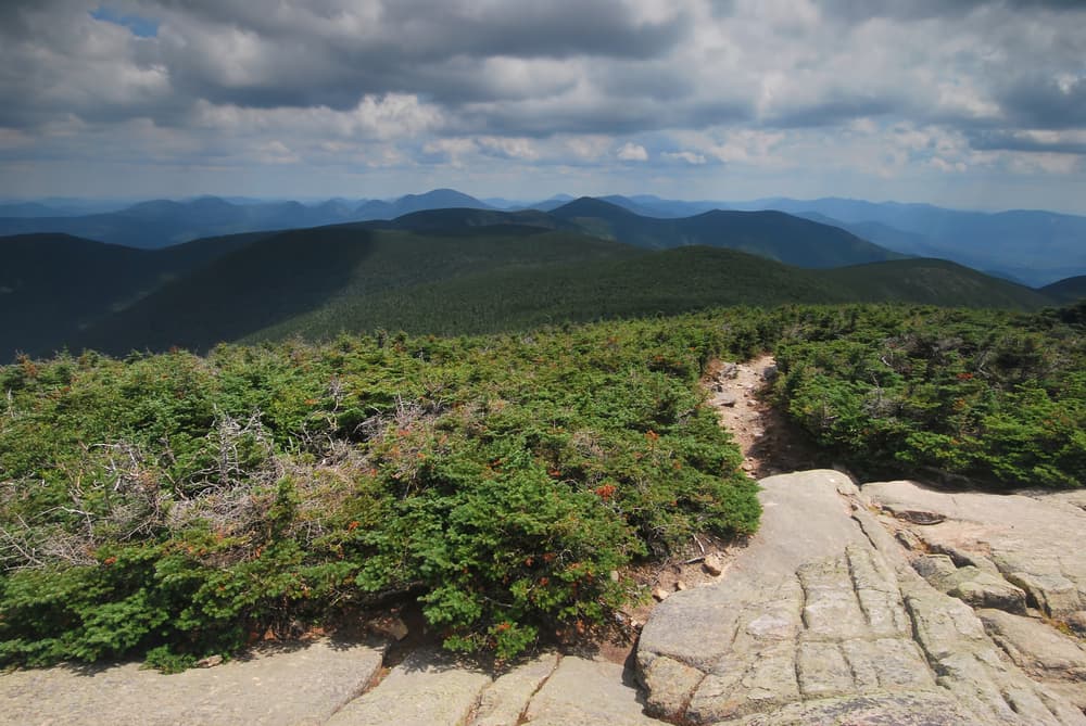
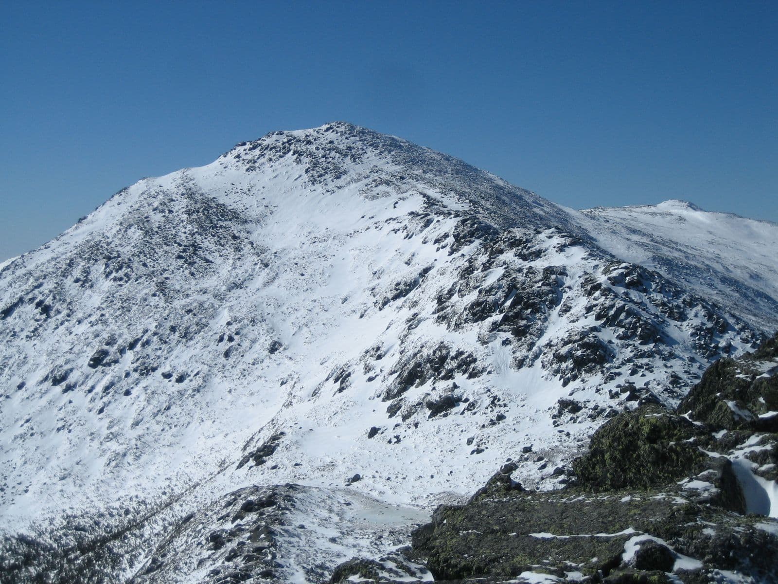
The Terrifying 25 is not your typical hiking challenge—it's an adrenaline-fueled test of courage and skill designed for adventurous hikers who crave the thrill of New Hampshire's most daunting trails. These routes aren't necessarily the highest or longest, but they're notorious for steep climbs, exposed ledges, intense scrambles, and dramatic views that come with an exhilarating sense of accomplishment. Successfully completing the Terrifying 25 places hikers among an elite group who have faced and overcome some of the White Mountains' most challenging terrain.This challenge includes 20 required trails and 5 Optional Sphinx Trail, Great Gully Trail, Percy Peaks, Castle Ravine TrailTrail Highlights:Steep rock scrambles and slide ascentsExposed ridges with sheer drop-offsNarrow gorges and unique rock formationsIconic trails like Huntington Ravine, Flume Slide, and the Six Husbands TrailImportant Notes:Recommended for experienced hikers due to technical challenges.Conditions can drastically affect safety; avoid these trails when wet, icy, or during bad weather.Proper gear, including good traction footwear and navigation aids, is crucial.This challenge promises unforgettable experiences—and bragging rights—among New England's hiking community.
Quick facts
- peaks
- 25located
- shape
- collection
- total distance
- 70 miles
- best season
- Summer, Spring, Fall
- avg completion
- 3-6 years
Loading your progress…
Map and places
Choose a place. Visit in any order.
Journey overview
8 of 25 places. Open the full itinerary to explore any place.
- PlaceChatham, NH
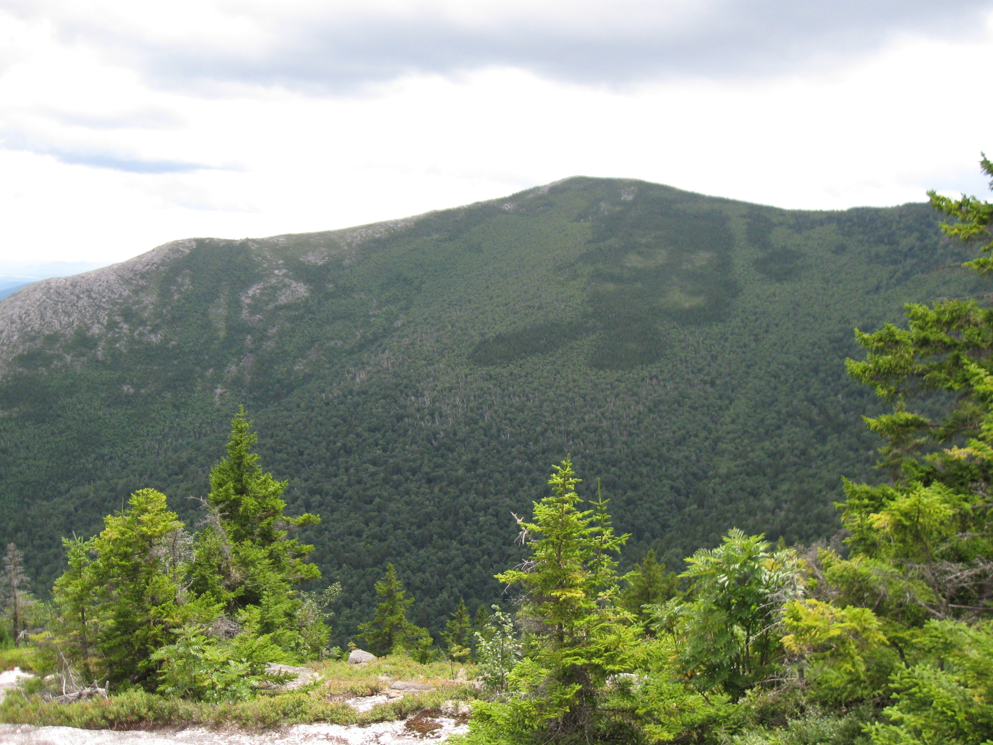
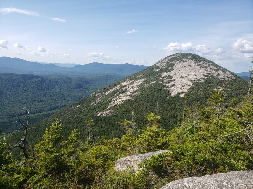
Loop hike featuring a steep ledge climb to a bald summit with expansive views, often paired with North Baldface.
- PlaceStratford, NH
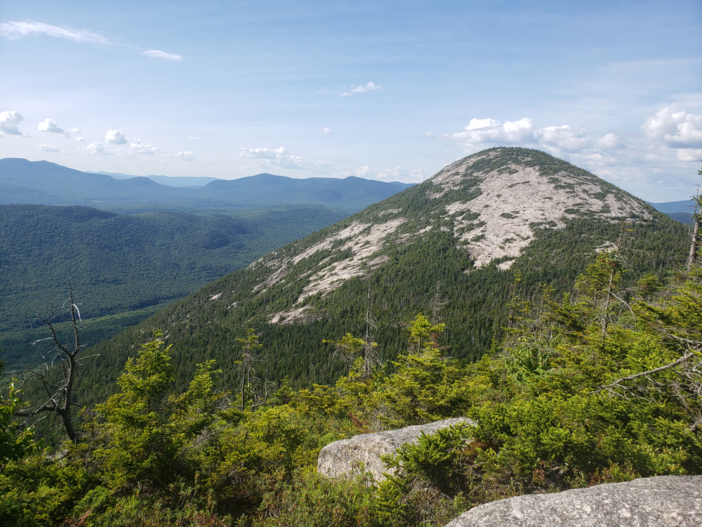
Moderate hike (with a steep final cone) to a cone-shaped summit of exposed schist, providing fantastic views over Nash Stream Forest.
- PlaceWhite Mountains, NH
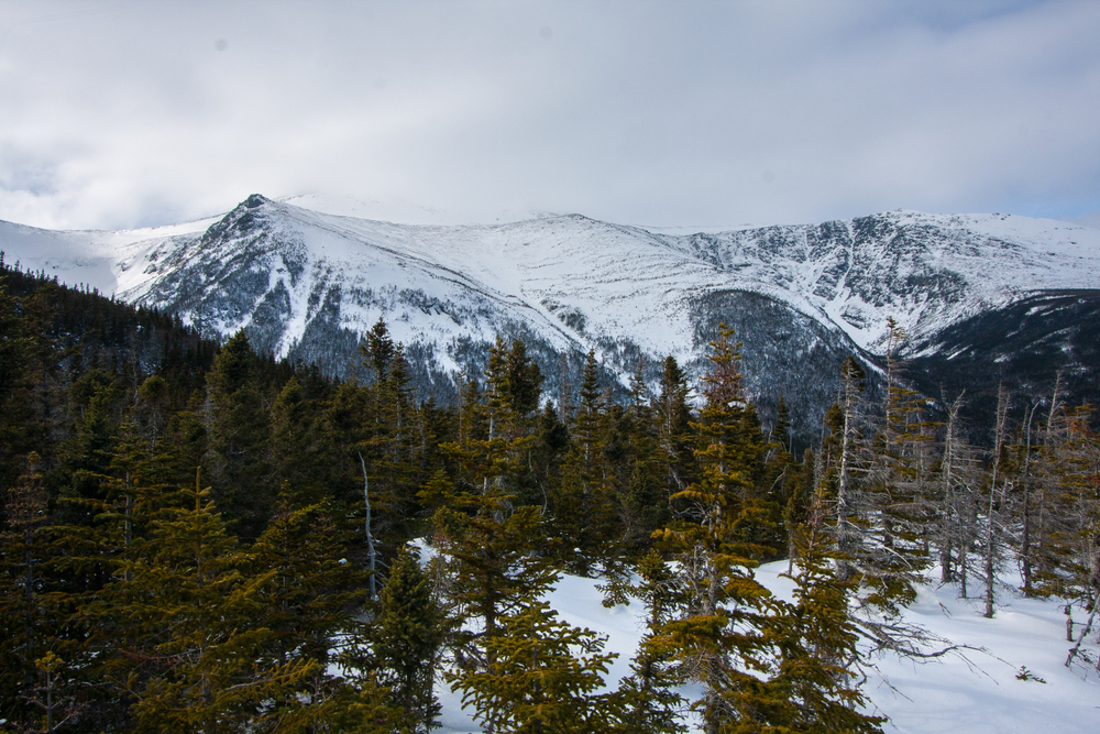
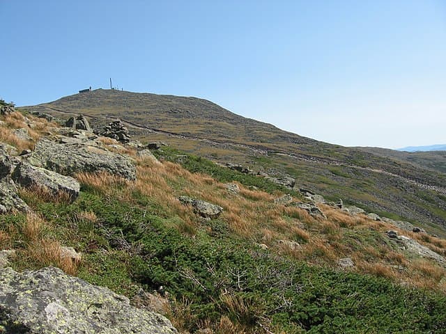
Infamous ascent to Mt. Washington, known as one of the hardest trails in the Whites.
- PlaceWhite Mountains, NH
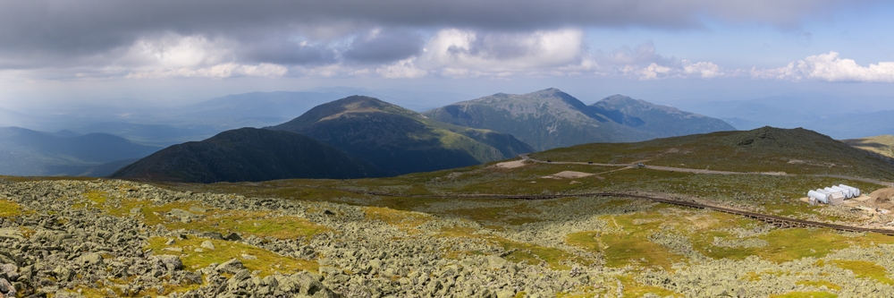
One of the White Mountains' toughest ascents, known for steep climbs and ladders.
- PlaceStark, NH
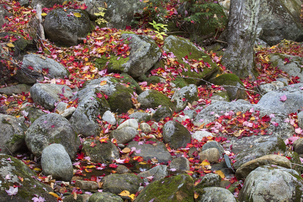
Short trail entering a narrow, rocky gorge filled with large boulders and moss-covered cliffs.
- PlaceWhite Mountains, NH
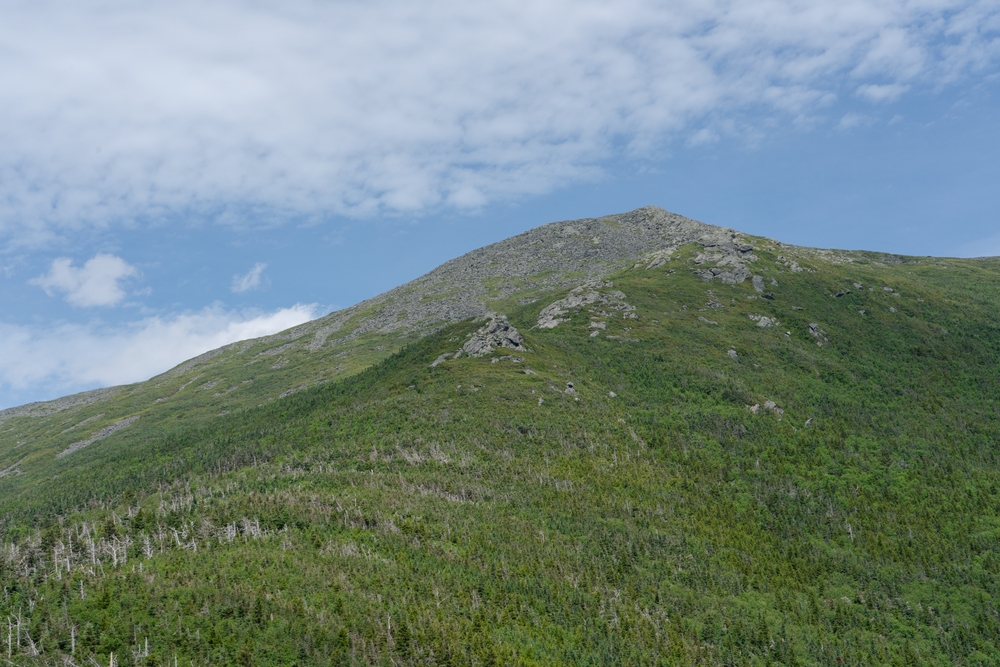
Challenging, rugged approach with steep climbs and rock scrambles to Mount Jefferson.
- PlaceWhite Mountains, NH
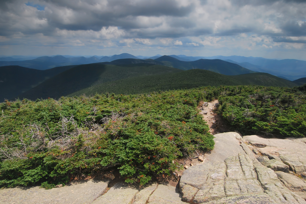
The Tripyramids, with North Peak at 1,274 m, are known for their steep rock slides. They're in the Sandwich Range and form part of the Waterville Valley backdrop in the White Mountain National Forest.
- PlaceMt.Clay, New Hampshire
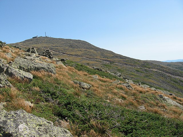
The Sphinx Trail is a steep, rugged trail that connects Great Gulf Trail to the Gulfside Trail near Mount Clay. It follows the Sphinx Brook and features rocky scrambles, stream crossings, and sections prone to wet and slippery conditions . Though short, it is very challenging and…
You can explore the itinerary while it loads.
Pins show individual places; there is no route between them. Select a pin to read its place in the itinerary.
Overview
The Terrifying 25 is a unique hiking challenge in New England that appeals to thrill-seekers and experienced hikers looking to test their skills on the region’s most rugged, technical, and fear-inducing trails. Unlike traditional peak-bagging lists, this challenge focuses on the most difficult hiking trails—featuring rock scrambles, exposed ledges, tight slides, and ladders—rather than just summits. Founded by hiker Amanda Peterson and her young son Alex, the challenge was designed to push comfort zones and celebrate the wildest trail segments across the White Mountains and surrounding regions.
Statistics and Elevation Profile
The Terrifying 25 consists of 20 primary trails and 5 elective routes (any 5 from an extended list), chosen for their challenging terrain. While many trails are located in New Hampshire’s White Mountains, the list occasionally includes trails from nearby areas. Each trail typically ranges from 1 to 6 miles in length (one-way), but the true challenge lies not in the distance, but in the terrain. Expect steep rock slabs, narrow ledges, hand-over-foot scrambles, and the occasional iron rung or wooden ladder. These trails aren’t just hikes—they often border on light mountaineering, especially in wet or icy conditions. Many routes gain over 1,000 feet per mile, with exposure and technical footing demanding constant attention.
Highlights and Landmarks
Among the most infamous trails on the list is the Flume Slide Trail, which climbs sharply up polished granite slabs en route to Mount Flume. This trail is not recommended for descent, especially in wet conditions, due to its smooth, steep surface. Another iconic route is the Huntington Ravine Trail on Mount Washington, a high-risk scramble up the headwall of a glacial cirque with significant exposure. It’s considered one of the most difficult maintained hiking trails in the eastern United States. The Caps Ridge Trail up Mount Jefferson earns its spot for a reason—it’s short but extremely steep, with scrambling across multiple “caps” or rocky humps. The North Slide on North Tripyramid is another serious contender, climbing aggressively up bare rock that can become treacherous when damp. For variety, the challenge also includes the ladders of the Beaver Brook Trail and the boulder caves of the Subway and Mahoosuc Notch sections, offering different kinds of “terrifying” experiences.
Culture and History
The Terrifying 25 isn’t just about conquering the gnarliest trails—it’s also about growing as a hiker. Many people report gaining confidence, strength, and better technical skills as they progress. There's a strong community around the challenge, with online groups offering advice, trail conditions, and beta for anyone unsure about a specific route.
Geology
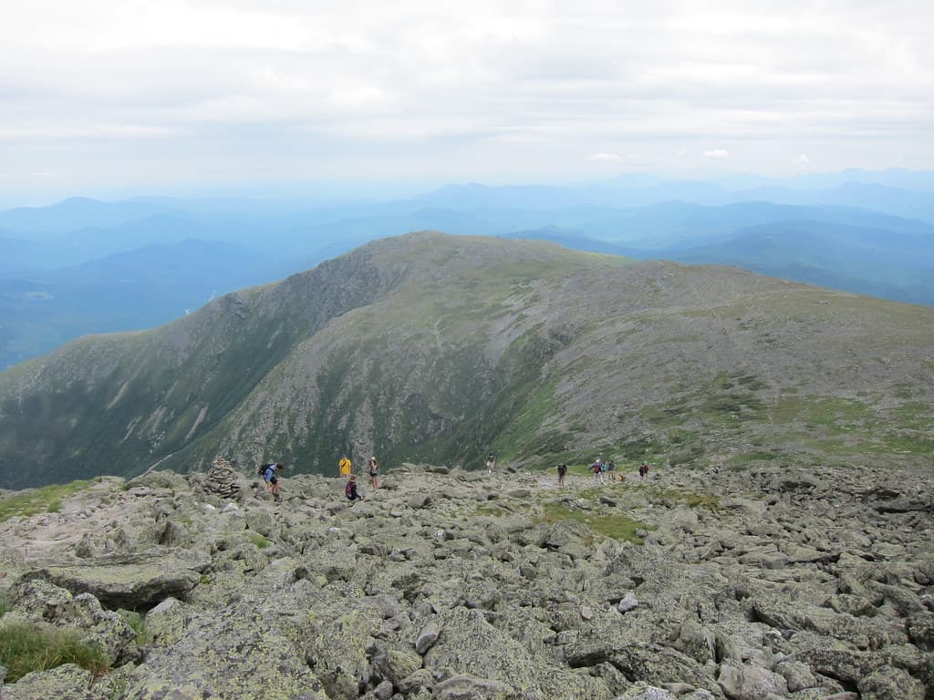
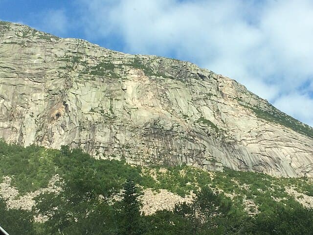
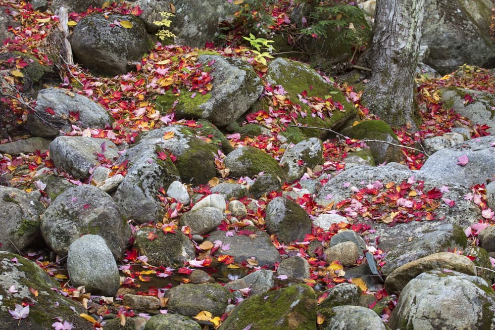
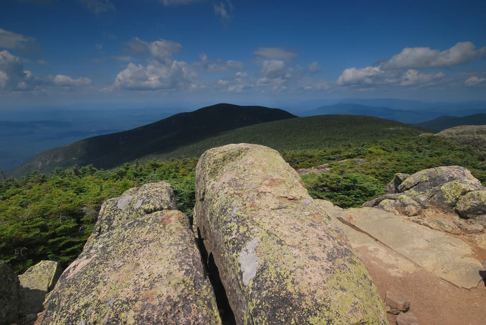
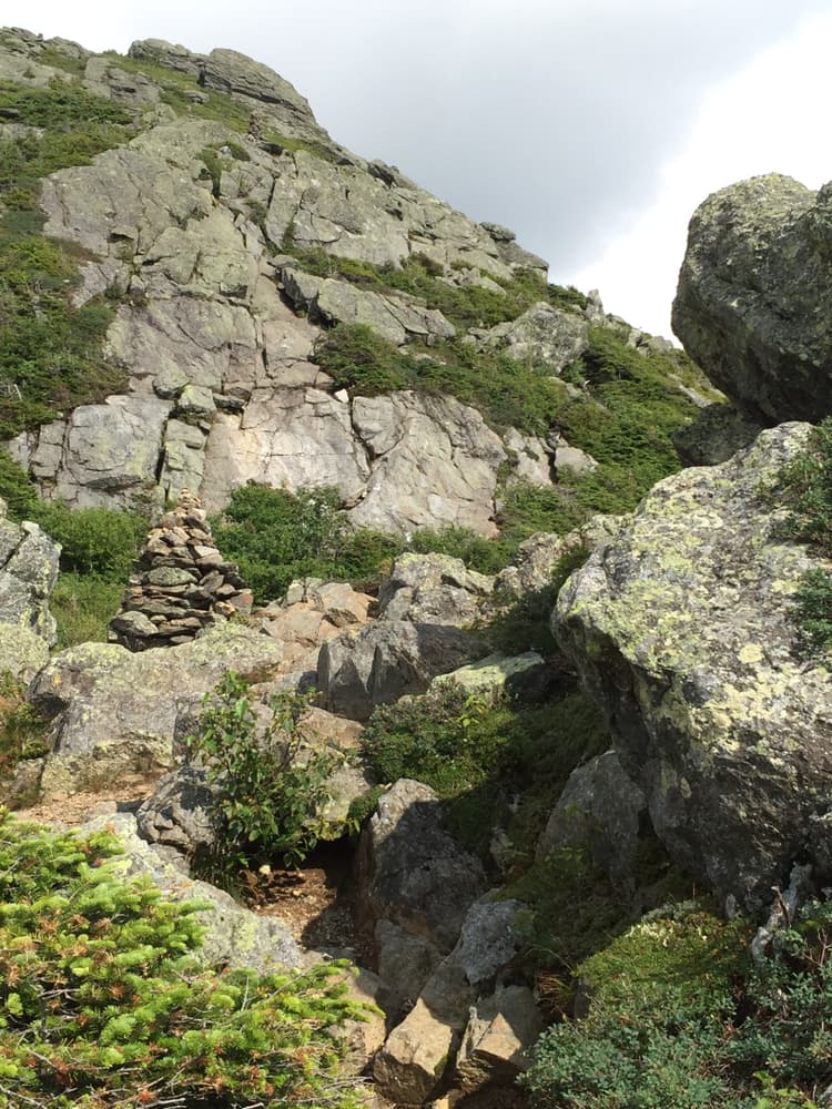
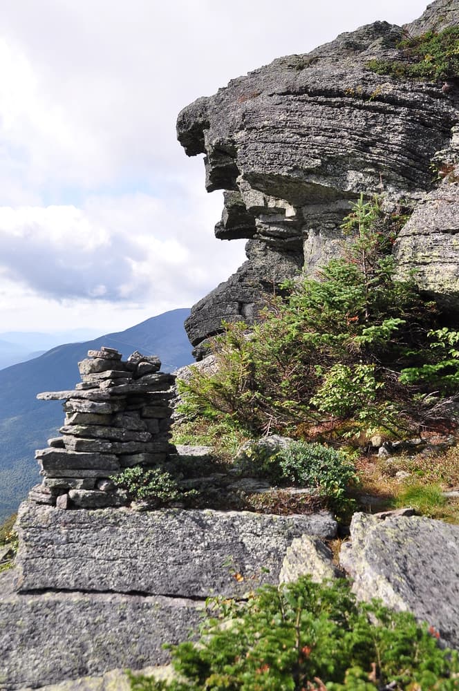
Much of the Terrifying 25 unfolds across the rugged granite of the White Mountains. This ancient Appalachian range was sculpted by glacial activity and is marked by steep cirques, sharp ridges, and angular boulders. Trails often follow old slide paths—debris fields left by past landslides—or wind through jumbled talus and boulder caves. The rock itself is often coarse granite, which provides good traction when dry but becomes slick and dangerous when wet. Trails like the South Slide or the Chimney Pond approach on Katahdin show the classic mix of glacial polish and fractured rock that makes these hikes both fascinating and formidable. Lichen-covered stone, water seeps, and mossy ledges all contribute to the technical difficulty, especially in shoulder seasons.
Essential Gear
Timing matters when tackling the Terrifying 25. Summer through early fall is typically the best season, as dry conditions make scrambles and slides more manageable. Spring runoff or recent rain can turn many of these trails into slippery death traps. Trails like the Blueberry Ledge Trail or Ice Gulch can become impassable or dangerous without traction gear in winter or early spring. Due to the exposed nature of several routes, especially those on Mount Washington or in the Presidential Range, weather can become a serious hazard. Whiteout conditions, fast-moving thunderstorms, and strong winds are not uncommon at higher elevations. Hikers should always check the Mount Washington Observatory forecast before committing to any exposed trail. Proper gear includes a helmet for loose rock zones (especially if hiking in groups), gloves for hand protection on scrambles, and microspikes or crampons in cooler months. Trekking poles can help with descents, though they’re often stashed during steeper scrambles. When preparing for the Terrifying 25, your gear choices can make or break the experience. Sturdy hiking boots with excellent grip and ankle support are a must because many of the trails involve steep rock slabs and uneven terrain that can be slippery or unstable. Layering is key due to the variable weather conditions in the mountains—from warm valley starts to chilly, windy ridges. Waterproof jackets and pants are essential since sudden afternoon storms are common, and wet rock surfaces can become treacherous. Trekking poles can be helpful for balance on tricky descents and uneven footing, though on the most technical scrambles, you may prefer to stash them in your pack. Gloves provide a better grip and protect your hands from sharp rocks and wooden ladders. Many experienced hikers also bring a helmet, especially for group hikes in areas prone to rockfall like Huntington Ravine. For colder seasons, microspikes or crampons can be lifesavers on icy patches.
Accommodation
Most trails on the list are well-marked and part of the official trail network, but due to the rough terrain, navigation can still be tricky. Rock slabs and ledges may lack clear tread paths, requiring good situational awareness and familiarity with map-reading or GPS navigation. It’s not uncommon for hikers to miss turns, especially when descending. Maps from AMC (Appalachian Mountain Club) and apps like Gaia GPS or AllTrails can help. However, cell service is spotty, and batteries drain fast in cold weather, so a paper map and compass are recommended backups. The challenge is mostly based in New Hampshire, with many trails accessible from towns like Lincoln, Conway, Gorham, and Bethlehem. Basecamp options include drive-in campgrounds, backcountry tent sites, and well-equipped hostels like the Notch Hostel in North Woodstock or the AMC’s Highland Center in Crawford Notch. Popular trailheads such as Lafayette Place, Appalachia, and Pinkham Notch can fill up early, especially on weekends, so arriving early or carpooling is advised. Some access points—like those for the Flume Slide or Huntington Ravine—are located in high-traffic areas within Franconia Notch or the Mount Washington corridor and may require parking fees or shuttle logistics. Overnight trips are sometimes necessary, especially for remote trails like the Great Gulf or trails in the Kilkenny region. Many hikers plan multi-trail loops to combine Terrifying 25 routes with nearby peaks and reduce drive time.
Food and Water
Most hikers tackling the Terrifying 25 carry their own food, as the trails are rugged and remote with few options for resupply once you leave the trailhead. Lightweight, high-energy snacks such as trail mix, energy bars, nuts, and dried fruit work well for quick fuel on the move. For longer outings or multi-day trips, meals that require minimal preparation, like dehydrated backpacking meals or sandwiches, keep things simple.
Fees
The Terrifying 25 trails are mostly located within public lands managed by the White Mountain National Forest and state parks, so no special hiking permits are required to access the trails themselves. However, some trailheads and parking areas charge fees, especially during the busy summer and fall months. These fees typically range from a few dollars up to around 10 or 15 dollars per day, depending on the location.
New England Terrifying 25: common questions
How long is New England Terrifying 25?
New England Terrifying 25 covers 70 miles in total.
How long does New England Terrifying 25 take to complete?
Most people complete New England Terrifying 25 in about 3-6 years.
When is the best time to do New England Terrifying 25?
The best season for New England Terrifying 25 is Summer, Spring, Fall.
How many checkpoints does New England Terrifying 25 have?
New England Terrifying 25 has 25 checkpoints to log on the way to finishing it.
Plan your journey.
Keep this journey for later, or share it with someone you would like to go with.