
2.6 mi+425 ftout-and-back
Lovers Leap
Hot Springs, NC
Walk from Hot Springs to a French Broad River overlook, with town services at the start and finish.
APPALACHIAN TRAIL · NORTH CAROLINA
The A.T. crosses the Nantahala Gorge and climbs into the high country of the Smokies. Much of this part of the trail follows the North Carolina–Tennessee border. The landscape does not change simply because a state label does.
EXPLORE ON THE MAP
North Carolina selected. Map focused on the state.
Optional. Updates your position only while this page is visible; does not record a hike.
ATC 14 STATE CHALLENGE
Hot Springs, NC
Walk from Hot Springs to a French Broad River overlook, with town services at the start and finish.
PLAN A REAL STOP
Start with things that change a walk: where you can access the trail, sleep, camp, or stop for a view. These come from the official NPS / ATC facilities dataset; check current notices before relying on them.
Loading official trail places…
KNOW THE STATE
Nantahala Gorge · Great Smoky Mountains · Max Patch
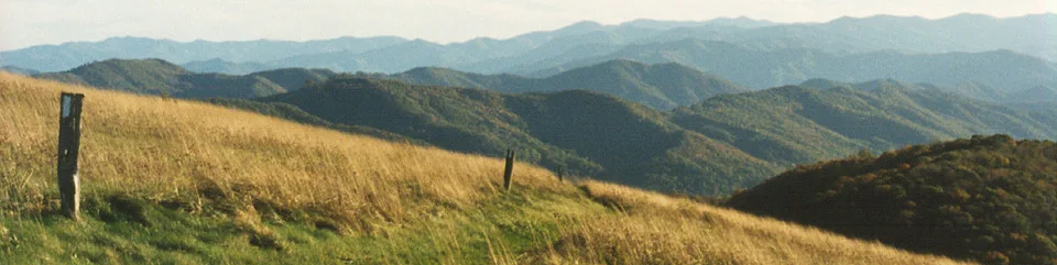
From an established path at a grassy bald, compare the open ground with the forest edge. Where does one become the other?
At Max Patch, open land cleared by nineteenth-century homesteaders is now early-successional habitat. The view is not a landscape without people; it carries a history of people working with it.
Check Smokies permits and local restrictions for the exact route. North Carolina and Tennessee share a long border stretch; never count that mileage twice.