
3.8 mi+450 ftout-and-back
Piazza Rock
Rangeley, ME
A Maine woods walk to Piazza Rock, with shelter, waterfall and rocky features nearby.
APPALACHIAN TRAIL · MAINE
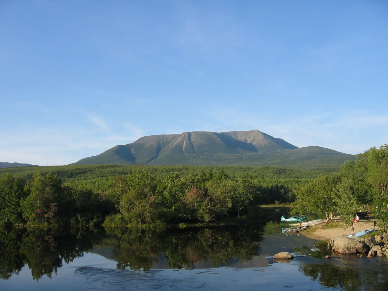
Maine brings rocky forest, ponds and the long approach to Katahdin in Baxter State Park. The mountain is the A.T.’s northern terminus. For some it is an ending; for others it is where their walk begins.
EXPLORE ON THE MAP
Maine selected. Map focused on the state.
Optional. Updates your position only while this page is visible; does not record a hike.
ATC 14 STATE CHALLENGE
Rangeley, ME
A Maine woods walk to Piazza Rock, with shelter, waterfall and rocky features nearby.
PLAN A REAL STOP
Start with things that change a walk: where you can access the trail, sleep, camp, or stop for a view. These come from the official NPS / ATC facilities dataset; check current notices before relying on them.
Loading official trail places…
KNOW THE STATE
Maine ponds and forests · 100-Mile Wilderness · Katahdin
Before you choose a finishing photograph, think of one ordinary moment you would not want to forget. It need not be a summit.
An end-to-end line is only one way to know the A.T. Maine also offers shorter walks, while its remote stretches demand their own planning. Neither should be presented as the same undertaking.
Confirm Baxter State Park’s current access and reservations directly. Keep remote-section logistics and river-crossing arrangements explicit; never invent a ford or detour.