
Pin 1 · Moderate3.8 mi
Velvet Rocks
Hanover, NH
A town-to-woods introduction to the A.T., with a shelter side loop and mossy ledges.
APPALACHIAN TRAIL · NEW HAMPSHIRE
Choose a walk or tap a waypoint. Keep the map, the place and your next step together.
EXPLORE ON THE MAP
New Hampshire selected. Map focused on the state.
Optional. Updates your position only while this page is visible; does not record a hike.
PUBLISHED WALK IDEAS
Hanover, NH
A town-to-woods introduction to the A.T., with a shelter side loop and mossy ledges.
Lyme, NH
A short A.T. climb from the Dartmouth Skiway area to an open ledge; peregrine nesting habitat requires care.
Glencliff, NH
A wooded A.T. walk from NH 25 to the pond, with an optional extension toward Webster Slide.
Bartlett / Crawford Notch, NH
A Crawford Notch A.T. climb to Ethan Pond and its shelter.
Shelburne / Gorham, NH
A streamside out-and-back to Rattle River Shelter used by ATC for its 14 State Challenge.
THE STATE’S CHAPTERS
PLAN A REAL STOP
Start with things that change a walk: where you can access the trail, sleep, camp, or stop for a view. These come from the official NPS / ATC facilities dataset; check current notices before relying on them.
Loading official trail places…
BEFORE YOU GO
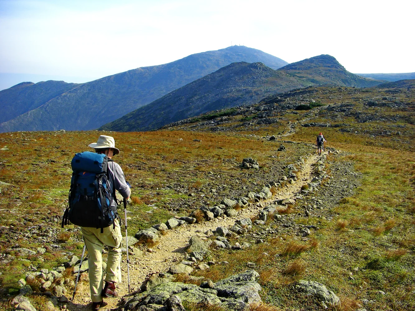
The Presidential Range has recorded snow in every month. Above-treeline travel requires a conservative weather decision, not just a mileage target.
White Mountain National Forest and AMC sites have rules and fees that differ from much of the A.T.; huts require reservations and some campsites charge overnight fees.
AMC’s White Mountain hiker shuttle serves major A.T. access points including Franconia Notch, Crawford Notch and Pinkham Notch, with Gorham connections.
A hard-sided IGBC-certified bear canister is required for overnight itineraries that enter the Pemigewasset Wilderness. Staying strictly on the A.T. along its edge is treated differently; verify your exact itinerary.