
Catskills All Trails: recording hikes when the official lists differ
The Catskills All Trails PDF and log disagree. Here's what qualifies, how to record a trail in sections, and which listed changes need care.

The Catskill Mountain Club asks you to hike every required trail completely, but not necessarily in a single outing. Its award qualifications say you can finish a trail over several trips, use documented hikes from previous years, and walk the trails in any order. What matters for the application is being able to show when you walked the entire trail.
The awkward bit comes before the first entry in your log. The club's printable 2025 trail list and its linked Google tally are not identical. The PDF prints 348.25 miles; the sheet displays 347.70. That 0.55-mile difference does not mean there's one short segment to make up. Several entries have different names, endpoints or distances, and one printed subtotal does not add up.
Source versions compared October 30, 2026. This is an independent guide to keeping a useful record, not an official eligibility decision or a report of current trail conditions.
Record the exact section you walked
For each outing, keep the date, the trail and section name as listed in your source, your actual start and end points, and whether you covered the whole required section or only part. If you return to finish the remaining part, keep both dated entries. A photo, personal GPX track or field note may help you remember where you turned, but the CMC rules ask for a record of the qualifying hikes; they do not say a GPS recording alone is certification.
Do not use a mountain summit or an estimated mileage sum as proof that you walked a marked trail end to end. The club's challenge page refers hikers to the New York–New Jersey Trail Conference Catskill map set. Use current official access information and a suitable map to work out your route; a listed distance is a planning reference, not a turn-by-turn track.
What a partial-hike record looks like
The club's September 6, 2026 scheduled Big Indian–Eagle–Haynes outing described a 10.5-mile one-way hike covering 8.75 miles of Pine Hill–West Branch Trail and 1.75 miles of Oliverea–Mapledale Trail. The linked tally lists those full trails as 14.20 and 3.65 miles, respectively.
An attendee who actually walked those sections would enter the date and observed start/end points, then record 8.75 of 14.20 miles, partial for Pine Hill–West Branch and 1.75 of 3.65 miles, partial for Oliverea–Mapledale. Keep both entries for later return trips; do not tick two completed trails just because a single outing covered parts of both.
This historical scheduled outing illustrates record-keeping. It is not a current route recommendation, evidence that the event took place, or a claim that any particular hiker completed it.
Four places where the two versions need care
Rochester Hollow. The PDF groups Colonel Rochester, Eignor and Burroughs Memorial trails together at 4.75 miles. The linked sheet has one Rochester Hollow Trail entry at 3.50. Logging “Rochester Hollow completed” without the sections you actually walked hides that difference.
Long Path south of Peekamoose. The PDF names Peekamoose to Upper Cherrytown, 9.65 miles. The sheet names Peekamoose to Vernooy Falls, 7.95 miles. Different endpoints matter more than the numeric difference: do not transfer an old completion automatically to the differently bounded line.
Red Hill and Dinch Road. The PDF has Red Hill Trail at 1.40 miles. The sheet instead has Red Hill Fire Tower Trail at 2.00 and Dinch Road Connector at 0.80. The club's February 10, 2021 change notice explains a historical amendment. Keep the trail names and dates you hiked; do not let an app silently mark a new connector as done.
Onteora and Vernooy. The PDF groups three colored Onteora trails; the sheet names the yellow Onteora Lake Loop, red Red Eft and blue Bluestone Loop separately. It also lists Vernooy Kill Falls Trail, 1.80 miles, absent from the PDF. The Google tally total for that map is 8.00 rather than the PDF's 6.20. These are differences between source versions, not evidence of what a hiker completed.
The club's Overlook addition notice names Meads Meadow, Overloop and an extended Overlook Spur. Its Jockey Hill decision removes that trail group from the required hikes. These are historical notices, not new October 2026 announcements.
Where the 0.55-mile difference comes from
Map 141's 36 numeric entries add up to 131.05 miles, matching the sheet, rather than the PDF's printed 131.85. That accounts for a decrease of 0.80 mile. Rochester Hollow accounts for another 1.25-mile decrease in Map 142. The different Long Path, Red Hill and Dinch entries produce a net 0.30-mile decrease in Map 143. Map 144 is unchanged, while Map 146 gains the sheet's 1.80-mile Vernooy entry. Together, −0.80 − 1.25 − 0.30 + 1.80 = −0.55 mile.
That reconciles the two printed totals. It does not resolve which boundaries the club will accept for a particular completion. Preserve the source version alongside your record rather than silently correcting old entries to match a new total.
Your record is not the club's award
The application refers to 87 required trails, but the printable list contains repeated map references and grouped colored sections. Neither the PDF line count nor the spreadsheet row count is a reliable completion percentage without reconciling the current requirements. The CMC, not Wyld Quest, decides official eligibility and awards. Its application requires dues-paying membership before it issues the certificate, patch and shirt.
Start with the CMC challenge page for the current linked documents. Wyld Quest's Catskill 3500 collection is a different peak-list challenge, not an All Trails checklist. Our independent All Trails tracker is not yet live; use the club's printable list or a copy of its Google log for now.
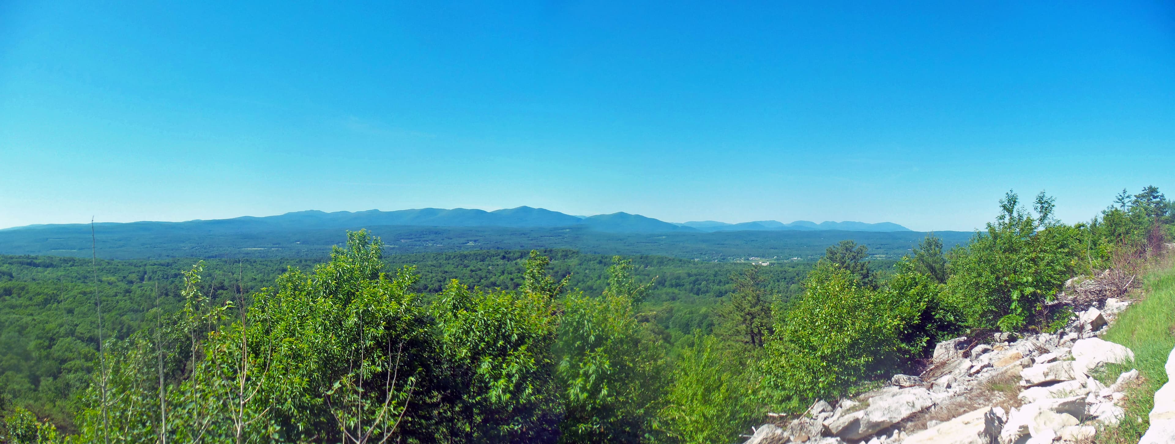
Photograph: Catskills panorama from the Shawangunks, by Daniel Case / Wikimedia Commons, CC BY-SA 3.0. The original photograph is linked unchanged; responsive display may resize or crop it. This is a regional view, not a trail map.
