

Challenge
Via Dinarica White Trail
Slovenia, Croatia, Bosnia and Herzegovina, Montenegro, Albania
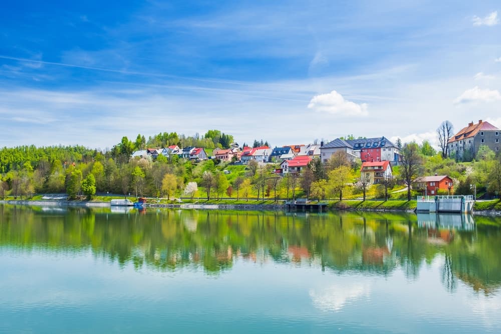
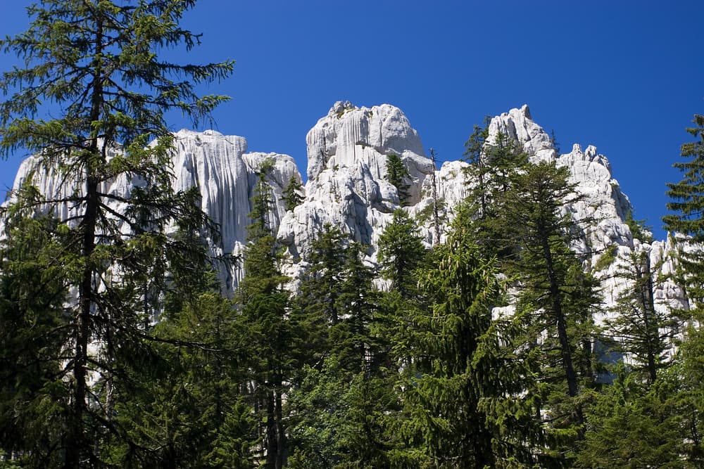
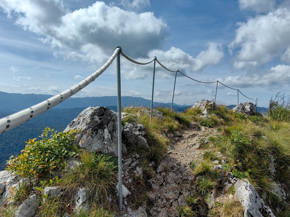
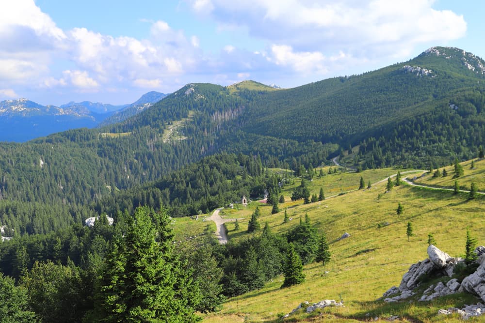
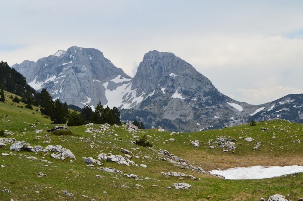
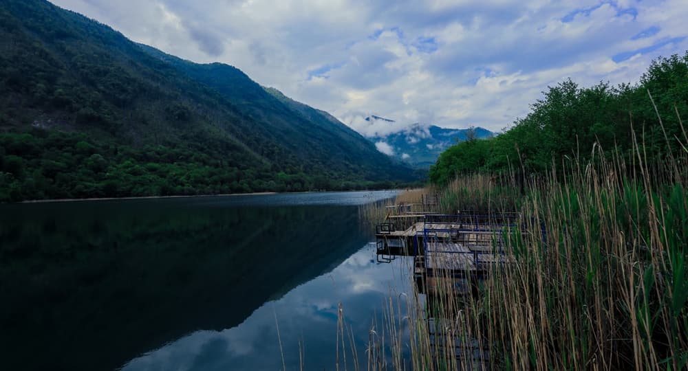
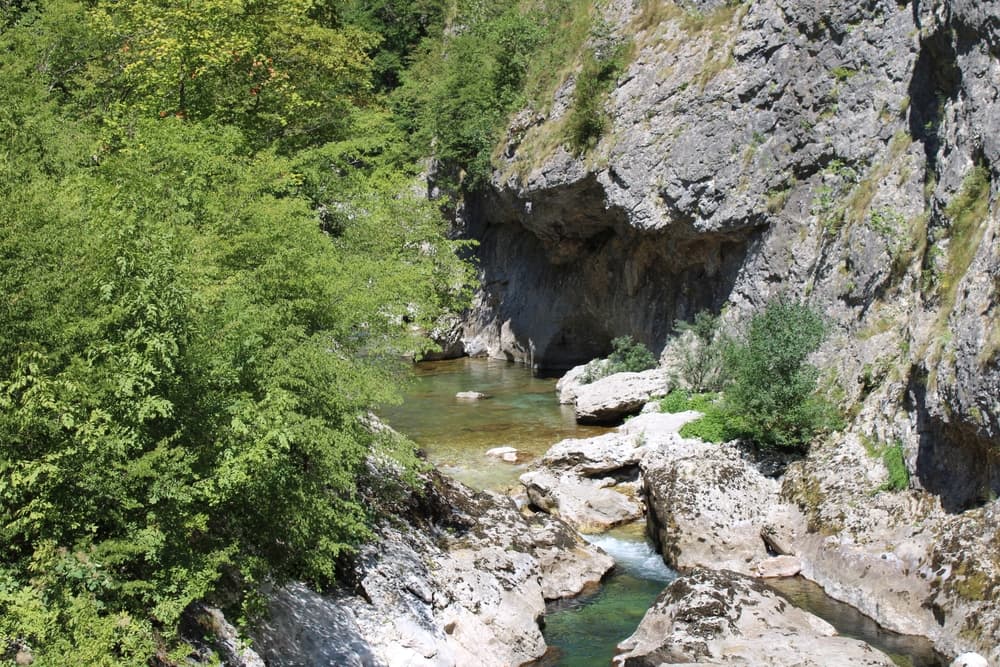
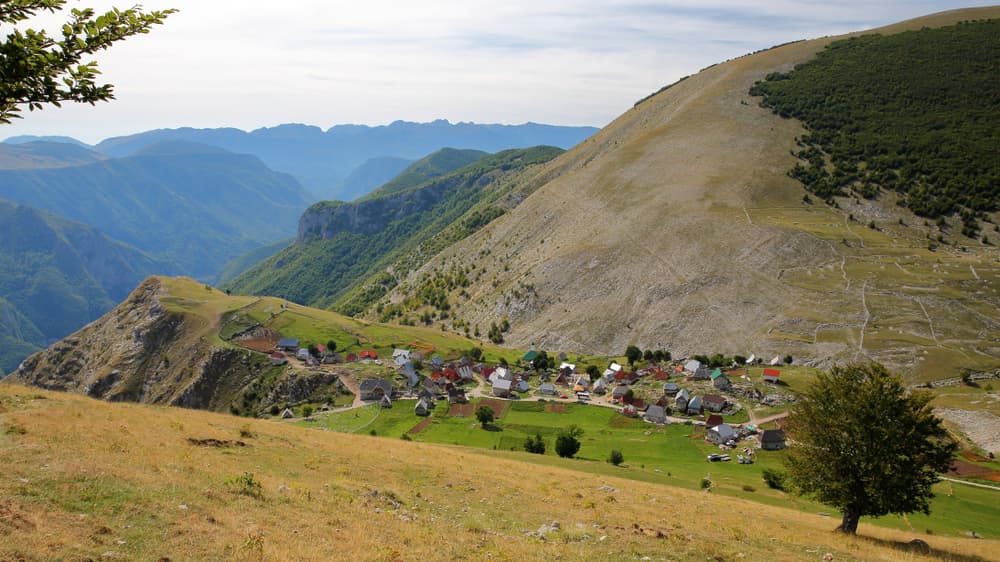
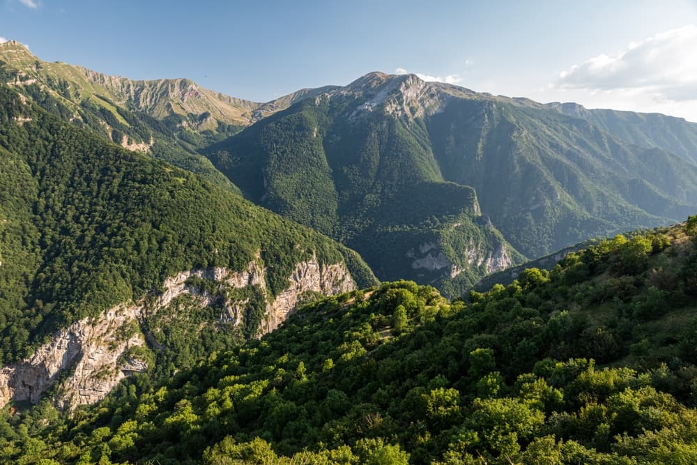
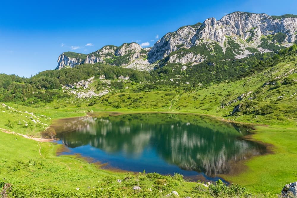
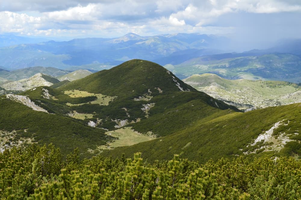
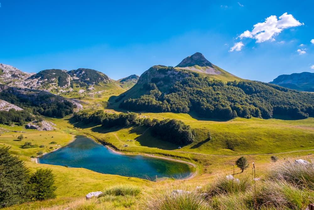
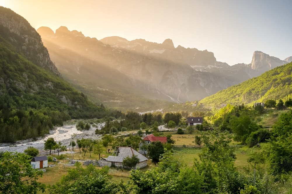
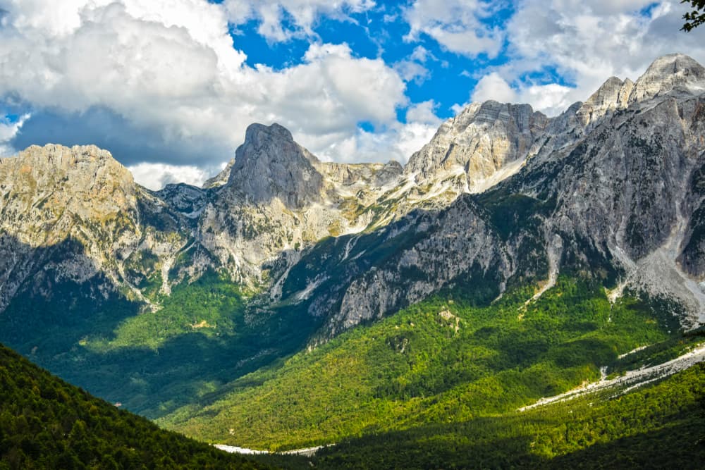
About this challenge
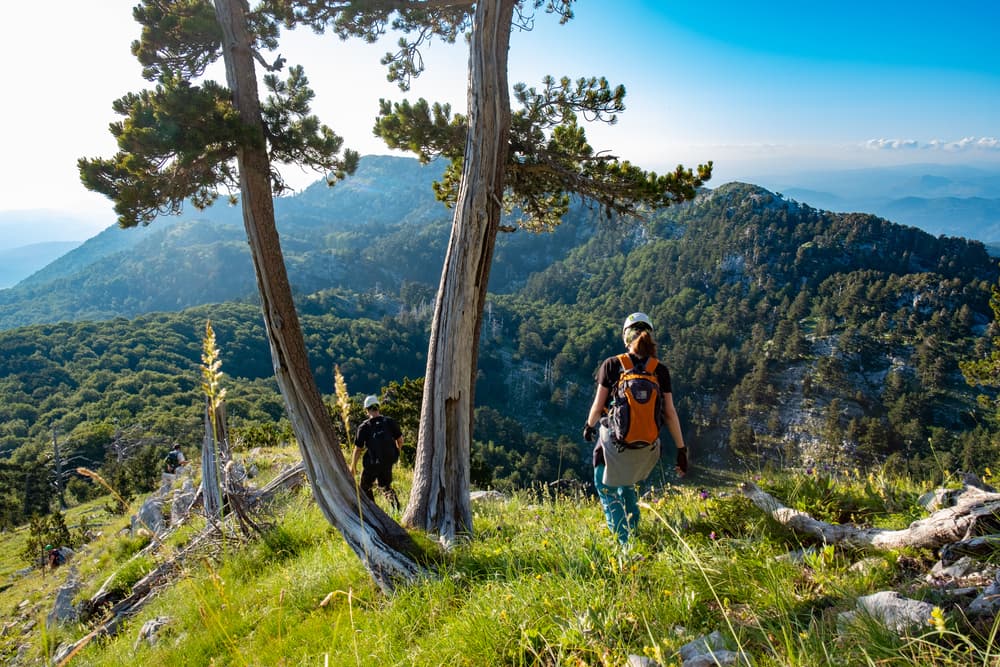
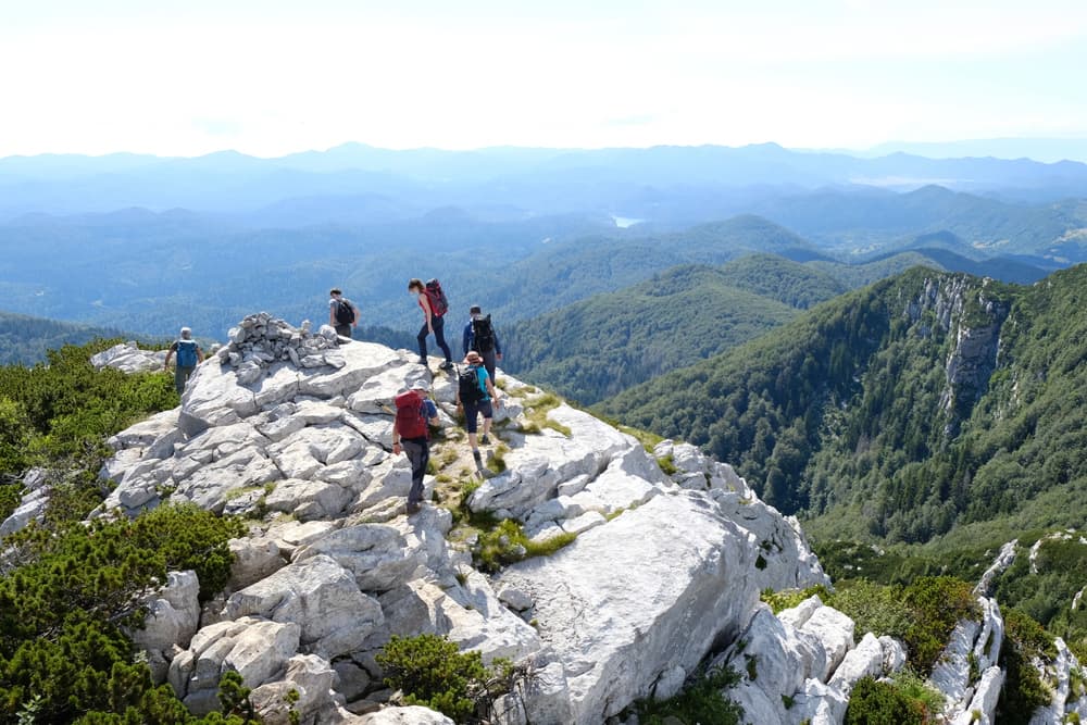
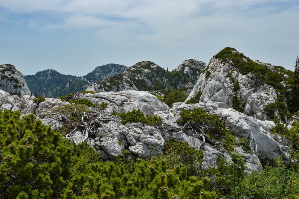
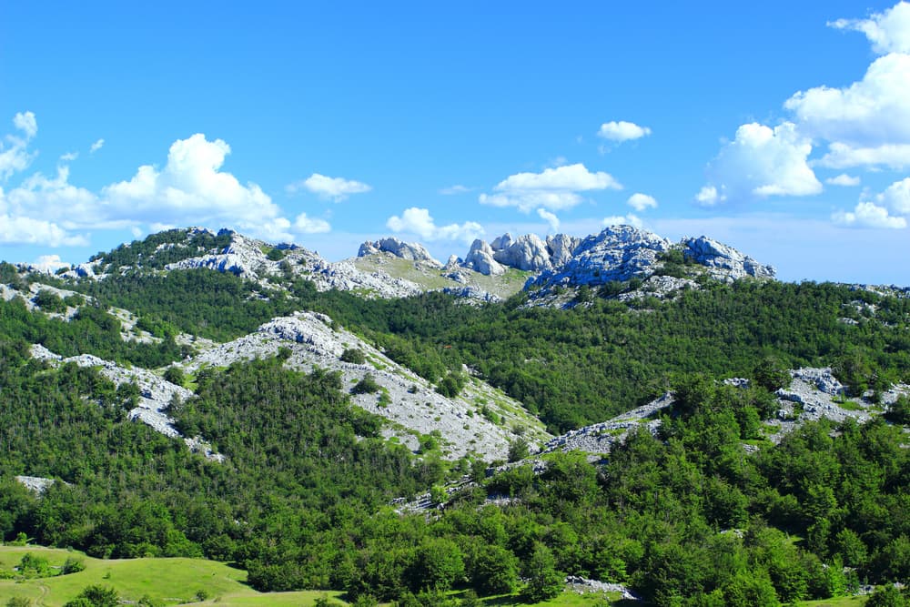
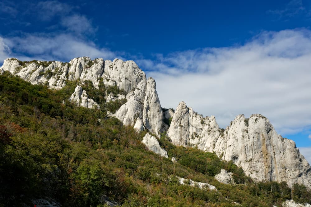
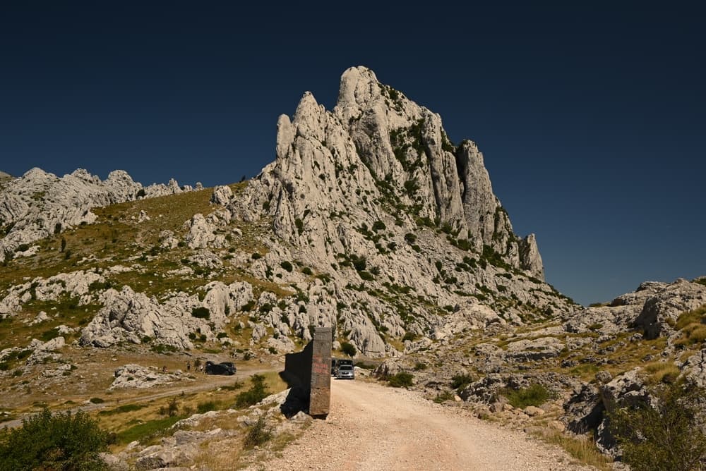
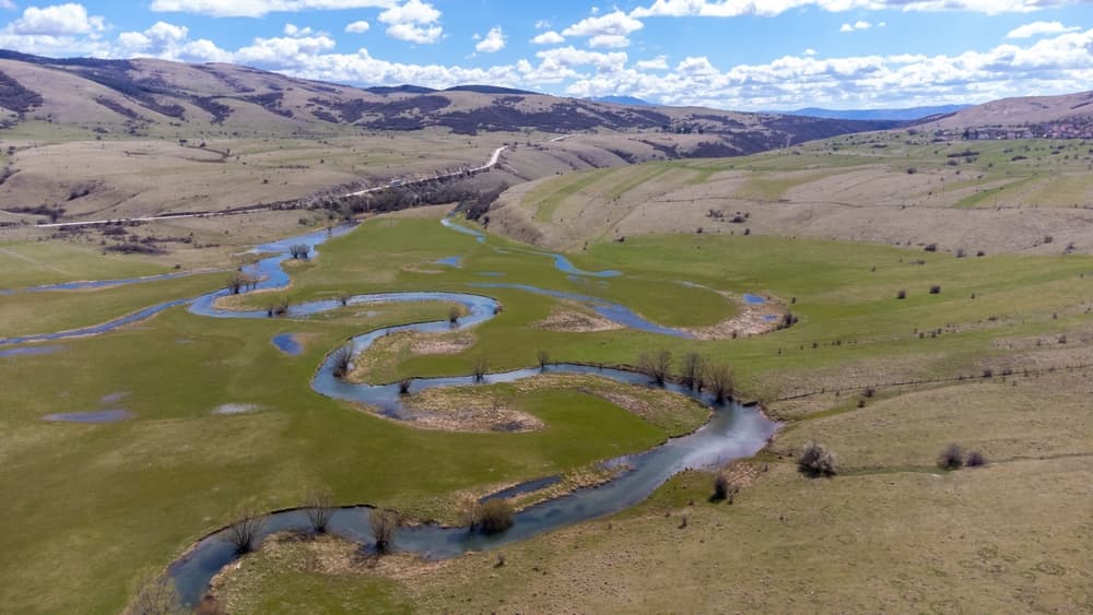
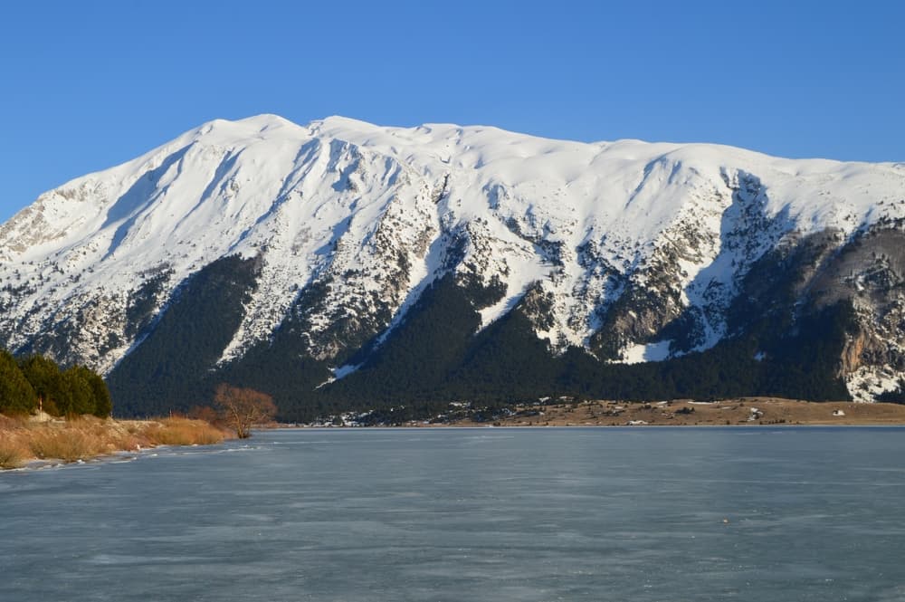
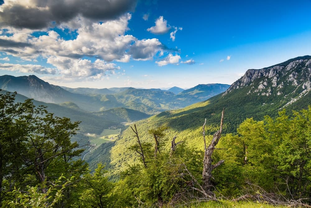
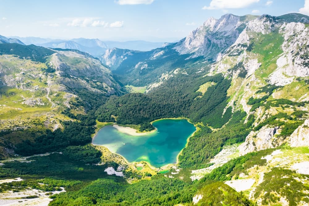
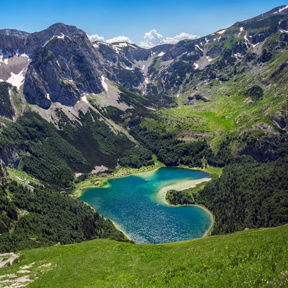
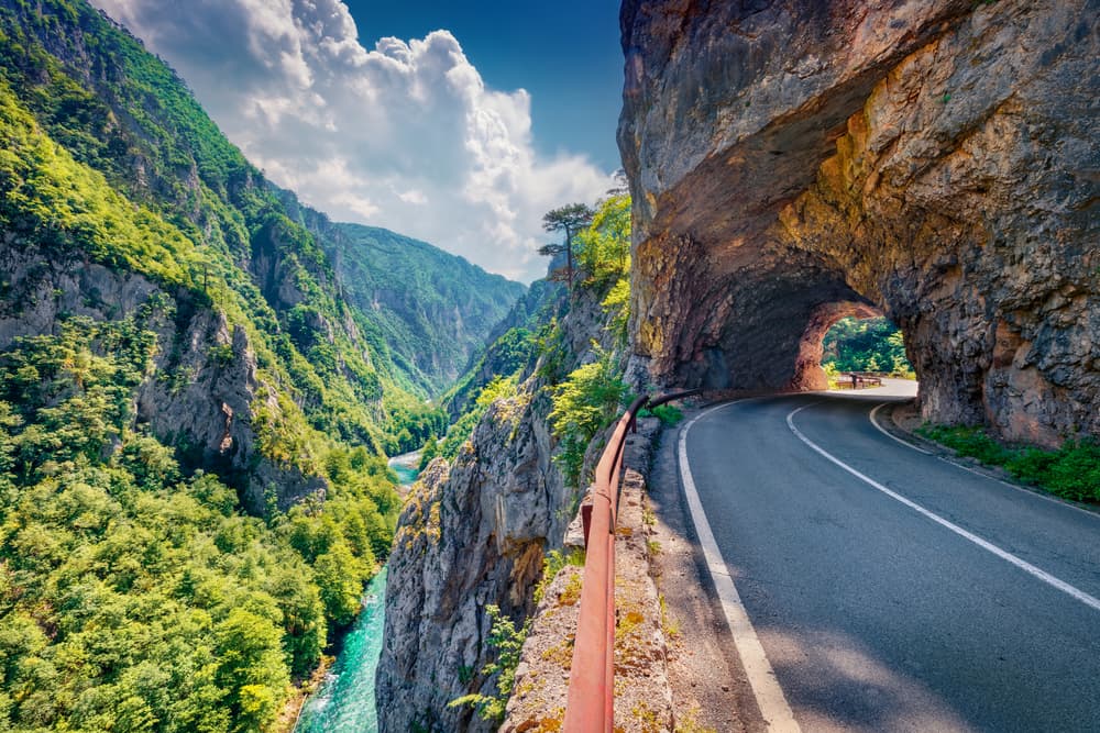
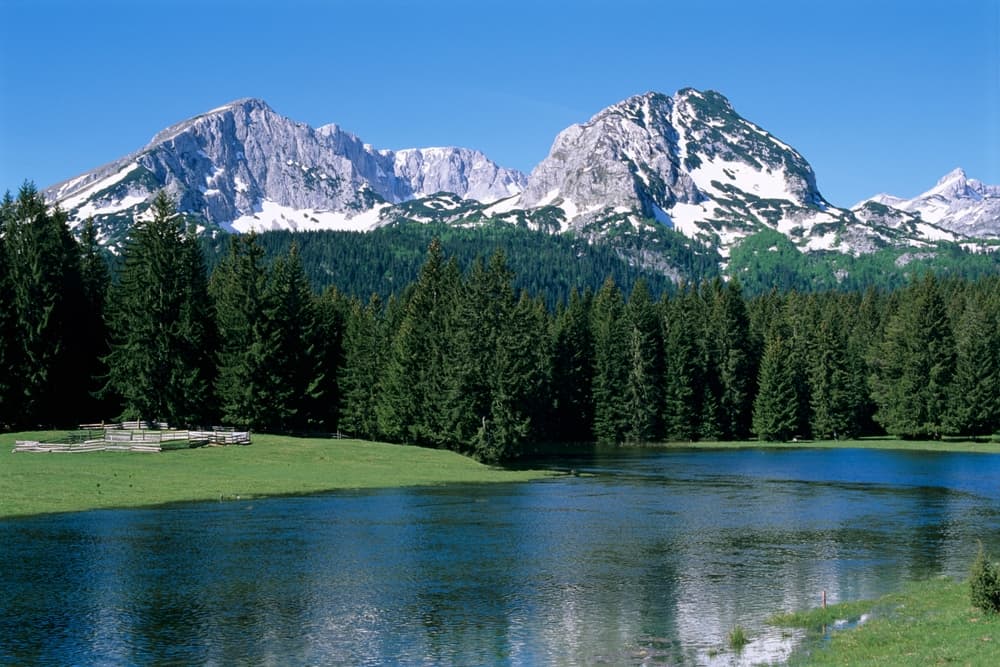
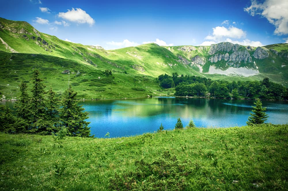
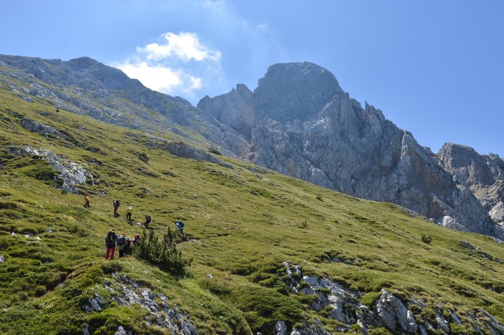
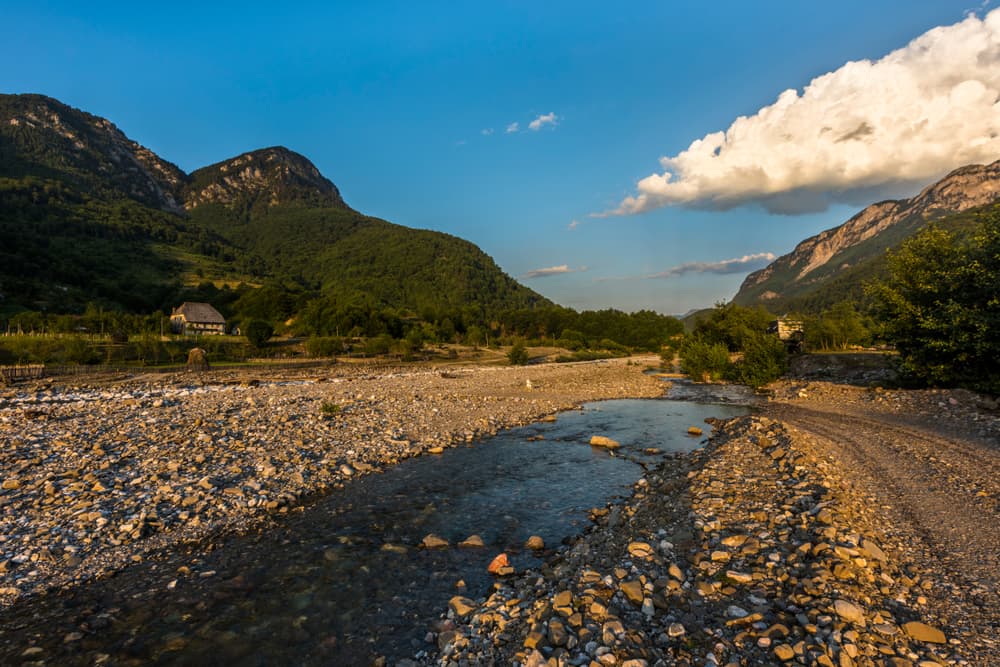
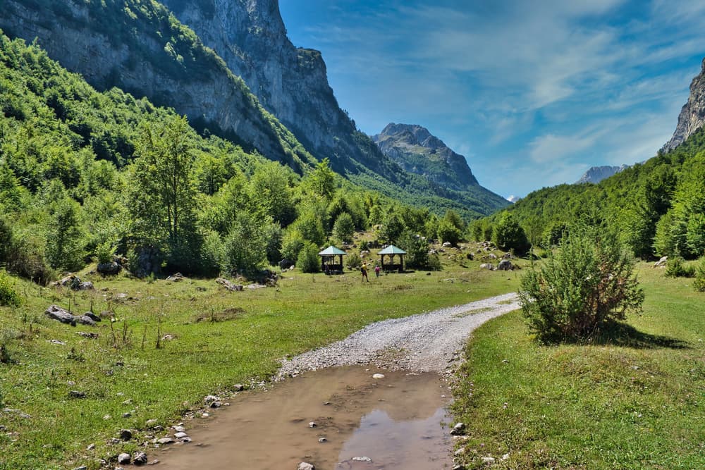
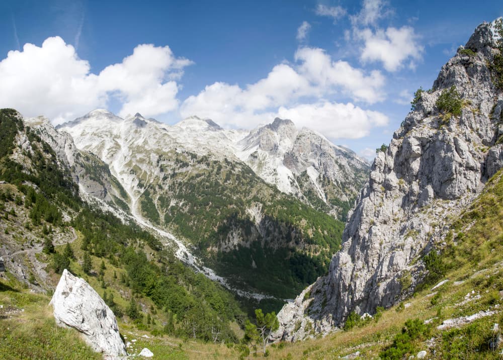
The Via Dinarica Trail is a long-distance hiking route that stretches over 1,200 kilometers through the heart of the Dinaric Alps. It includes the countries of Slovenia, Croatia, Bosnia and Herzegovina, Montenegro, and Albania. Designed for serious trekkers, it primarily follows the high ridgelines and most dramatic peaks of the Dinaric range, connecting remote mountain villages, national parks, and alpine wilderness. This trail offers a rich blend of untouched nature, diverse cultures, and historical depth. The White Trail is the "backbone" of the Via Dinarica network and includes notable highlights like Velebit, Dinara, Prenj, Maglić, Durmitor, and the Accursed Mountains. The Via Dinarica consists of three main routes—White, Green, and Blue—across the Dinaric Alps in the Western Balkans, connecting seven countries. Unlike established trails in Western Europe or North America, this is still a developing trail system with sections that feel genuinely wild and unrefined.
Quick facts
- Checkpoints
- 46
- Distance
- 1260 km
- Avg Completion
- 2-4 months
- Best Season
- Summer, Spring, Fall
Overview
The Via Dinarica White Trail is one of Europe's most ambitious and rewarding long-distance hiking adventures, yet it remains refreshingly unknown to most international trekkers. The trail passes through some of the Balkans' most spectacular mountain ranges, including the Julian Alps in Slovenia,the Velebit Mountains in Croatia, and the Albanian Alps. The Via Dinarica was named National Geographic Traveler "Best of the World" destination for 2017, and Best New Trail in 2014 by Outside magazine. The hospitality of local people, the authentic mountain huts and villages, and the sense of discovery make this incredibly rewarding for adventurous hikers. The Via Dinarica represents more than just a hiking trail - it's a peace-building project that connects countries that were once divided by conflict, promoting regional cooperation and cultural exchange.
Statistics and Elevation Profile
The White Trail is the main route in Via Dinarica, and follows the main ridge of the Dinaric Alps, making it one of Europe's longest continuous mountain trails. The complete route stretches approximately 1,261 kilometers (783 miles) with an estimated 52,000 m (170,600 feet) of cumulative elevation gain—numbers that place it among the world's most challenging long-distance hikes.
Highlights and Landmarks
Key highlights include crossing the tri-border junction between Albania, Montenegro, and Kosovo at 2,210 meters elevation, exploring the dramatic limestone karst landscapes, and experiencing the untouched wilderness of the Dinaric mountain range. The trail connects numerous national parks and protected areas across all the countries it traverses.
Culture and History
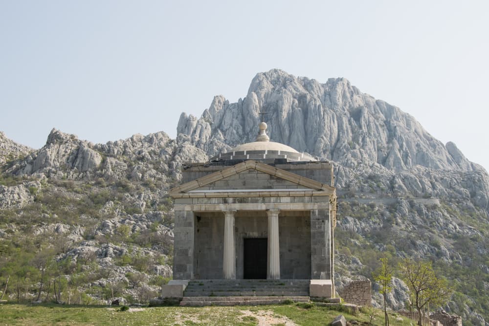
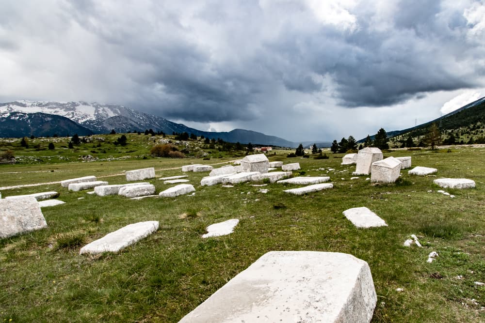
The Via Dinarica White Trail offers more than just spectacular mountain scenery—it provides a unique window into the complex cultural tapestry of the Western Balkans. This region's history spans millennia, from ancient Illyrian tribes through Roman occupation, Ottoman rule, Austro-Hungarian influence, and the turbulent 20th century that shaped modern national boundaries. Hikers encounter a fascinating blend of Slavic languages, with Croatian, Serbian, Bosnian, Montenegrin, and Albanian communities maintaining distinct cultural identities while sharing common mountain traditions. The 1990s conflicts left deep scars on the region, and hikers may encounter war memorials, abandoned villages, and minefields in certain areas. These sobering reminders underscore the importance of the Via Dinarica project in promoting regional cooperation and healing through shared natural heritage.
Geology
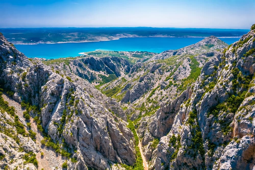
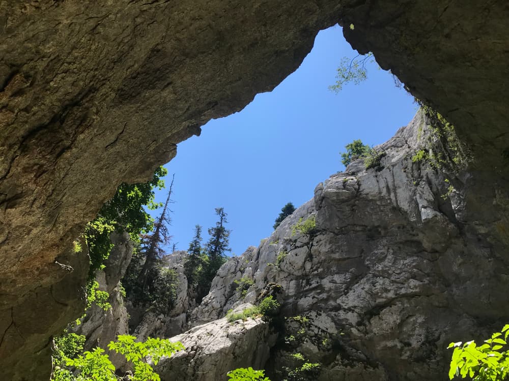
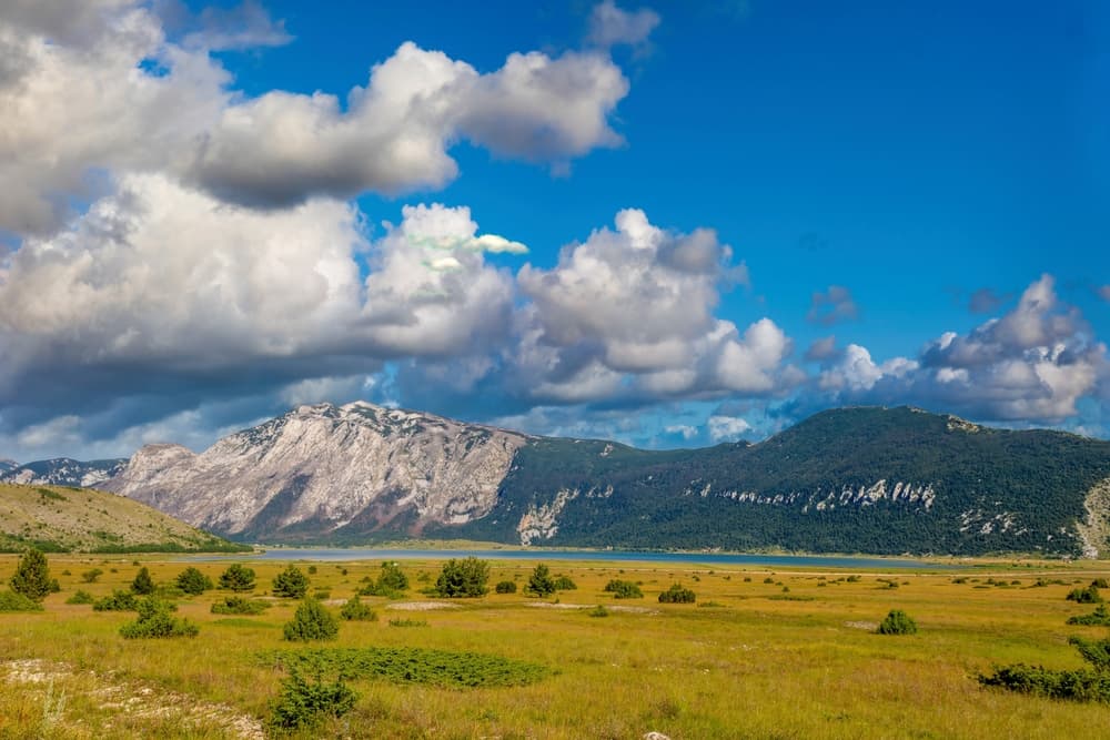
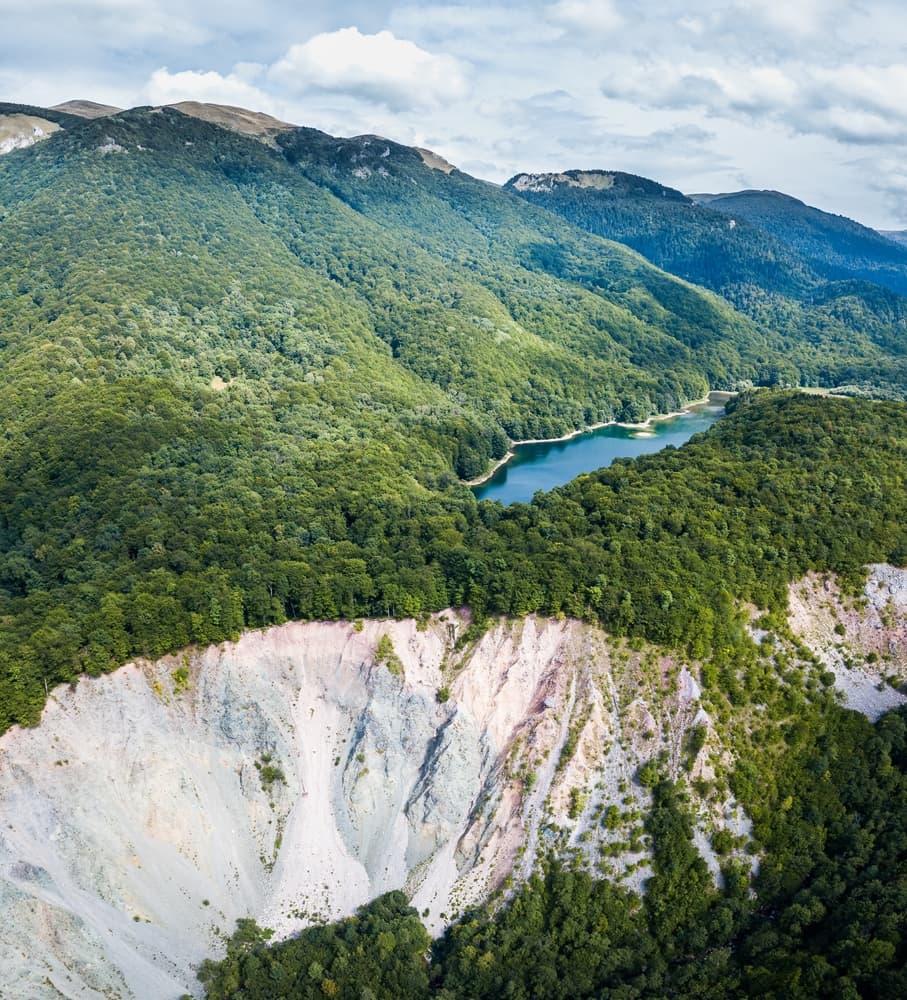
The Dinaric Alps represent one of Europe's most fascinating geological formations, created through the collision of African and European tectonic plates over millions of years. The characteristic limestone karst terrain creates a distinctive landscape of bare stone peaks, underground rivers, and extensive cave systems. The trail traverses some of Europe's most extensive karst terrain, where limestone bedrock has been sculpted by water into fantastic formations. Brown bears, wolves, and lynx still roam remote areas, while golden eagles soar above the highest peaks. Alpine flora includes rare endemic species found nowhere else in Europe.
Essential Gear
Unlike more developed European trails, services and emergency support remain limited throughout much of the route, making self-sufficiency crucial. Boots: Sturdy, broken-in mountaineering boots with excellent ankle support for loose rock and scree Backpack: 65-80L capacity for extended food carries and camping gear Shelter: 4-season tent rated for mountain conditions and strong winds Sleep System: Sleeping bag rated to -5°C (20°F) and insulated sleeping pad Navigation: GPS device with offline maps, compass, and detailed topographic maps Emergency Equipment: Satellite communication device, emergency bivy, and signaling mirror
Accommodation
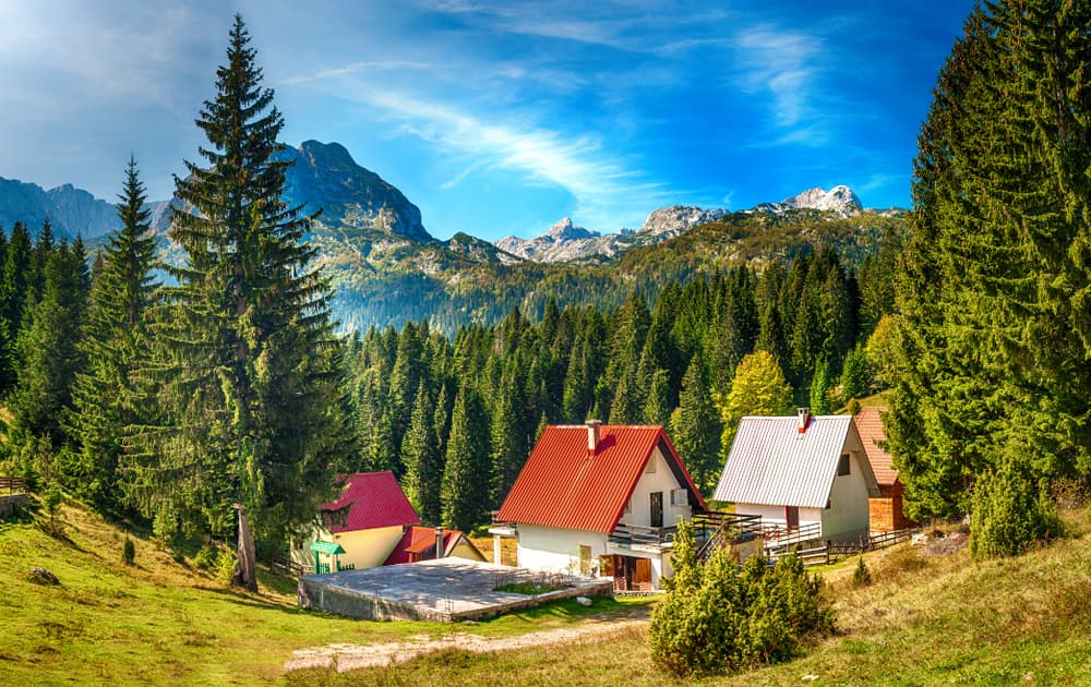
The Via Dinarica's remote character means accommodation options vary dramatically between countries and regions. Planning requires flexibility and contingency preparations for extended wilderness camping. Traditional mountain huts offer basic dormitory accommodation and meals, though advance booking remains challenging and many operate only during peak season (July-August). The White Trail traverses through the highest part of the Dinarides. Camping regulations vary by country, with generally permissive policies above treeline but restrictions in national parks and populated areas. Food resupply opportunities remain limited, requiring careful planning and potentially expensive shipping arrangements. Major resupply points occur every 5-7 days of hiking, with some sections requiring 10+ days of food carrying capacity.
Navigation
The Via Dinarica White Trail follows established paths for much of its length, though trail marking consistency varies significantly between countries and regions. Navigation skills and backup systems become essential for safe completion. Loose rock, steep terrain, and unmarked trails increase injury risks, particularly during wet conditions. Some sections cross active scree slopes and require mountaineering skills.
Permits and Fees
The Via Dinarica White Trail crosses multiple international borders, requiring proper documentation and awareness of varying national regulations. Most border crossings occur in remote mountain areas with minimal or no official checkpoints. Hikers should carry proper documentation and be prepared for occasional police encounters. EU Citizens: Valid passport or ID card US/Canadian Citizens: Valid passport (no visa required for stays under 90 days) Other Nationalities: Check specific visa requirements for each country
Featured checkpoints
Postojna Cave
Slovenia
Prezid
Croatia
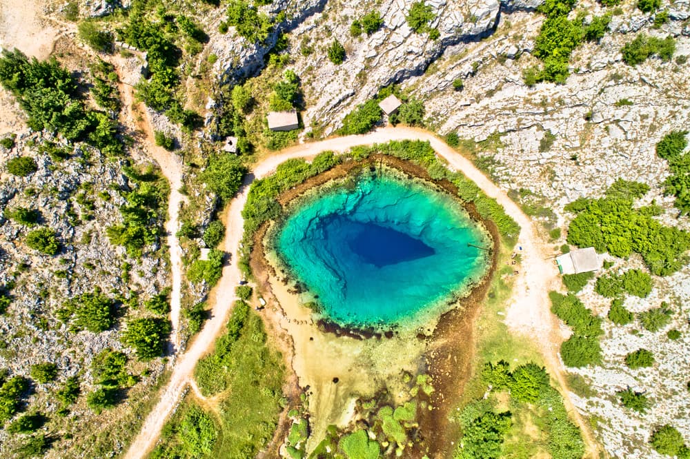
Source of the Kupa River
Croatia
Risnjak National Park
Croatia
Fužine
Croatia
Bijele and Samarske rocks
Croatia
All stops on this route
- 1. Postojna Cave
- 2. Prezid
- 3. Source of the Kupa River
- 4. Risnjak National Park
- 5. Fužine
- 6. Bijele and Samarske rocks
- 7. Kapela
- 8. Zavižan
- 9. Rožanski kukovi
- 10. Alan
- 11. Dabarski kukovi
- 12. Južni Velebit
- 13. National park Paklenica
- 14. Tulove Grede
- 15. Crnopac
- 16. Krka National Park
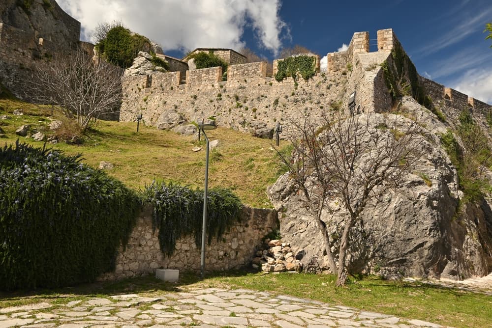
- 17. Knin
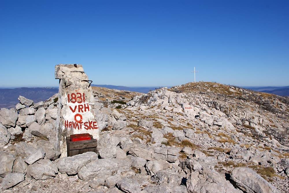
- 18. Dinara
- 19. Izvor Cetine
- 20. Our Lady of Sinj Route
- 21. Duvanjsko Polje
- 22. Vran
- 23. Blidinje Lake
- 24. Čvrsnica
- 25. Prenj Mountain
- 26. Boračko Lake
- 27. Rakitnica Canyon
- 28. Lukomir Village
- 29. Visočica
- 30. Treskavica
- 31. Lelija
- 32. Zelengora
- 33. Sutjeska National Park
- 34. Trnovačko Lake
- 35. Maglić
- 36. Piva Canyon
- 37. Durmitor
- 38. Žabljak
- 39. Biogradska Gora
- 40. Bjelasica
- 41. Komovi
- 42. Vermosh
- 43. Vusanje
- 44. Jezerca peak
- 45. Theth
- 46. Valbona Valley
Via Dinarica White Trail: common questions
How long is Via Dinarica White Trail?
Via Dinarica White Trail covers 1260 km in total.
How long does Via Dinarica White Trail take to complete?
Most people complete Via Dinarica White Trail in about 2-4 months.
When is the best time to do Via Dinarica White Trail?
The best season for Via Dinarica White Trail is Summer, Spring, Fall.
How many checkpoints does Via Dinarica White Trail have?
Via Dinarica White Trail has 46 checkpoints to log on the way to finishing it.
Plan the route
Via Dinarica, stage by stage
The Balkan high route across Bosnia, Montenegro and Albania, broken into the stages and peaks you can tackle one at a time.