
Challenge
Via Alta Vallemaggia
Via Valle Maggiore, 6934 Bioggio, Switzerland
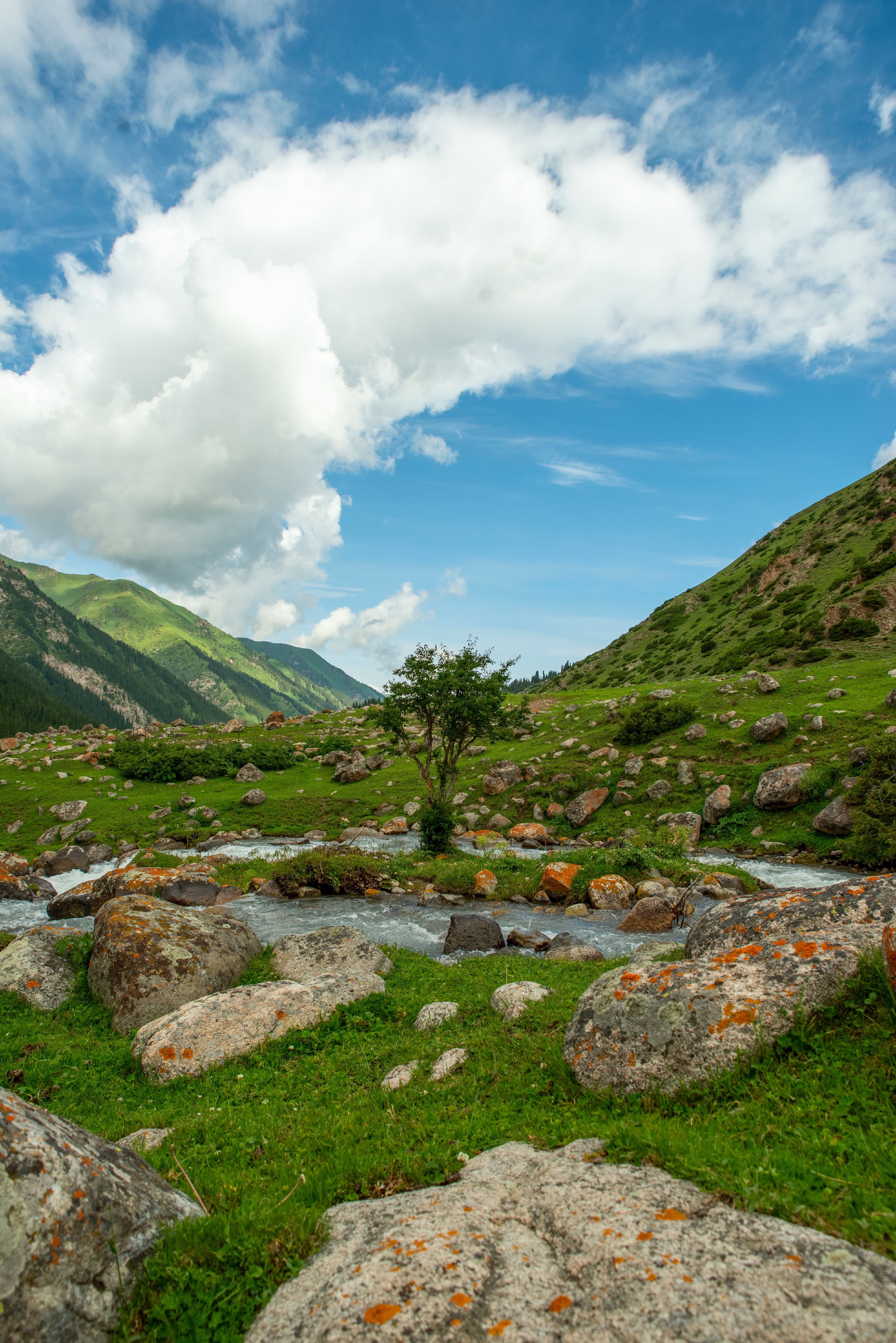
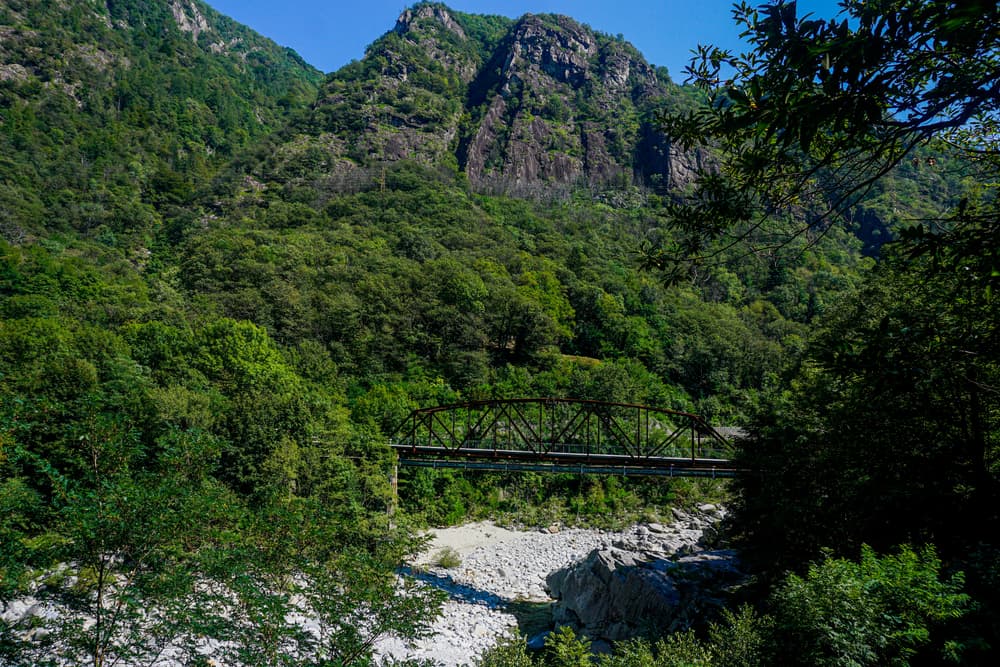
About this challenge
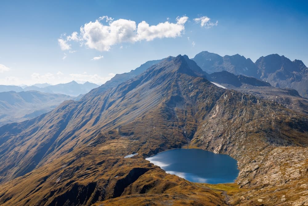
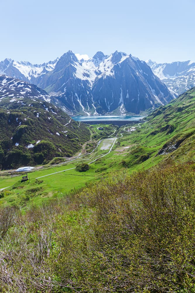
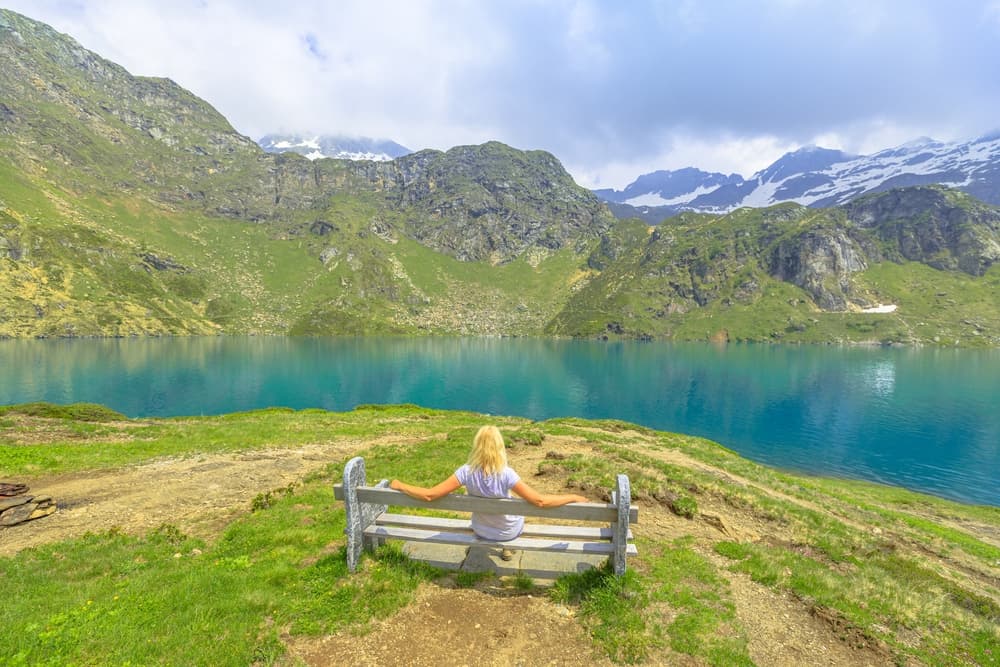
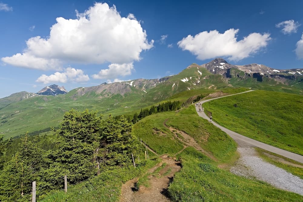
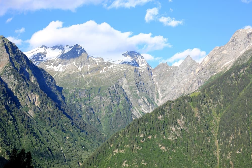
This spectacular 5-day, 80-kilometer trek through the remote Vallemaggia valley in Ticino showcases pristine Swiss alpine wilderness. Starting from Bignasco and ending in Bosco/Gurin, the trail traverses high mountain passes, crystal-clear lakes, and traditional stone villages where Italian-Swiss culture thrives. Best hiked July-September, this challenging route (1,800m total elevation gain) offers stunning views of the Lepontine Alps while remaining blissfully uncrowded compared to more famous Swiss trails.
Quick facts
- Checkpoints
- 17
- Distance
- 200 km
- Avg Completion
- 8-12 days
- Best Season
- Summer
Overview
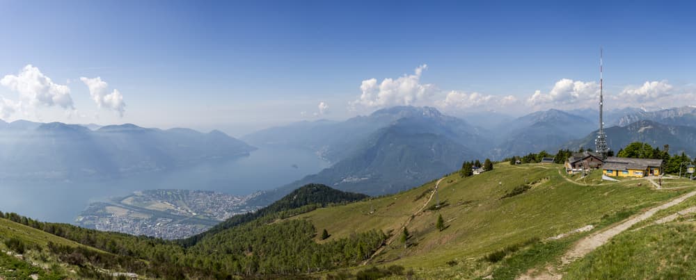
_*]:min-w-0 !gap-3.5">The Via Alta Vallemaggia represents Switzerland's newest and most challenging long-distance trekking route, covering around 200 km through the Vallemaggia region of Ticino. This expert-level alpine adventure runs from the blue waters of Lake Maggiore through a challenging Alpine landscape of rock and scree with some airy sections, offering seasoned mountaineers an authentic wilderness experience in Italian-speaking Switzerland. The trail showcases the dramatic contrast between Mediterranean lake shores and high alpine terrain, creating one of Europe's most diverse mountain trekking experiences.
Statistics and Elevation Profile
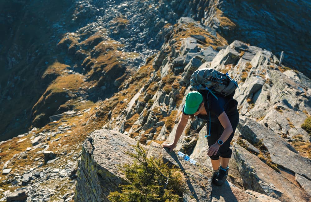
Start Point: Lake Maggiore region (approximately 200m elevation) End Point: Various high alpine locations depending on chosen route Lowest Point: Lake Maggiore shoreline at approximately 193m The route's technical difficulty cannot be overstated, with short exposed stretches with risk of falling and climbing sections that demand advanced mountain skills and complete comfort with exposure.
Highlights and Landmarks
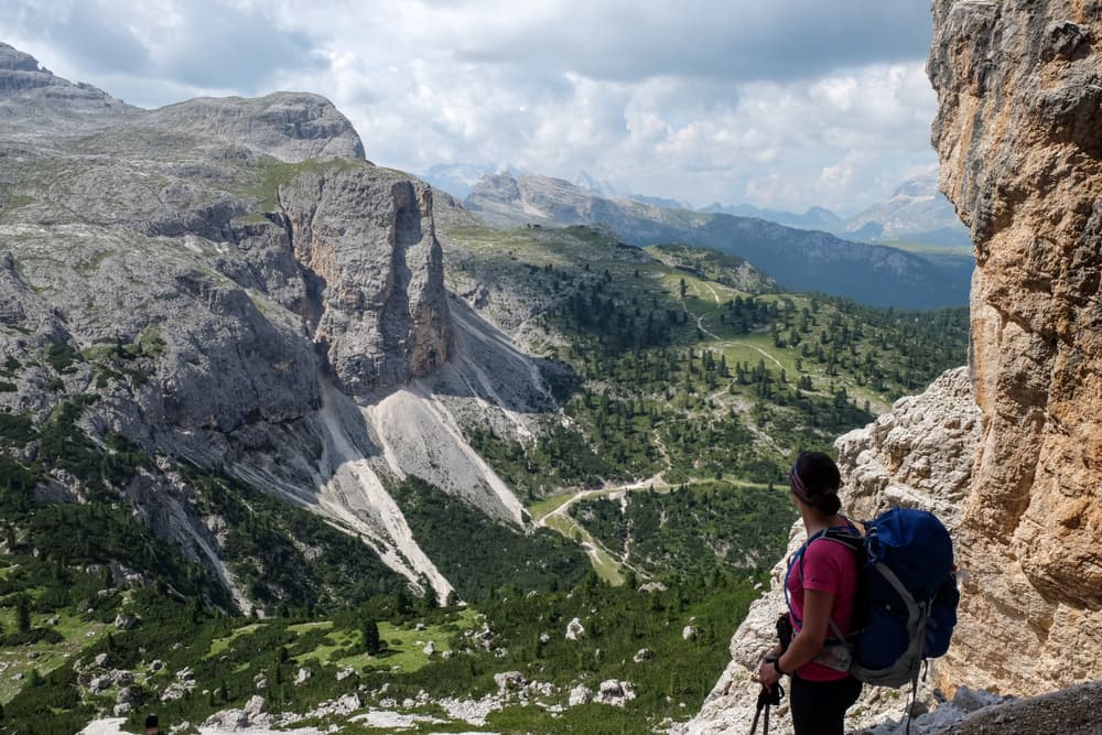
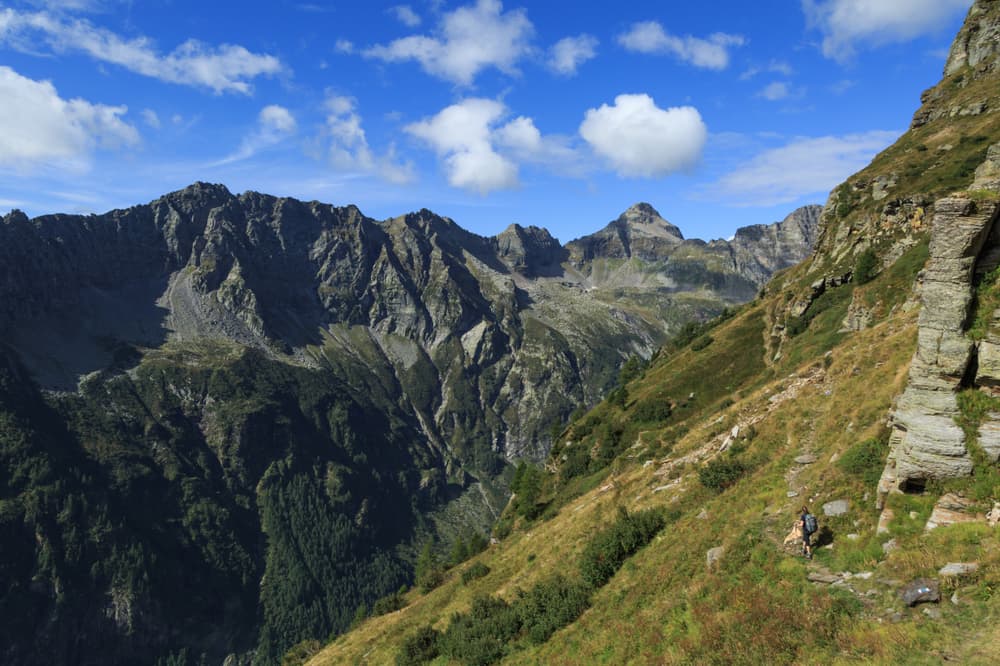
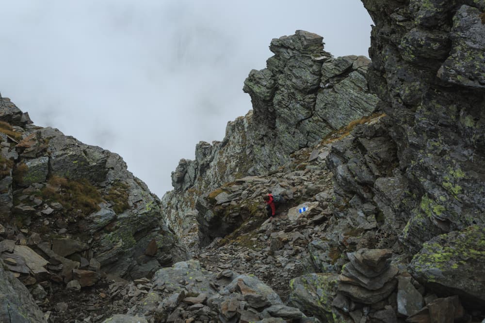
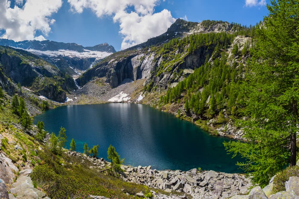
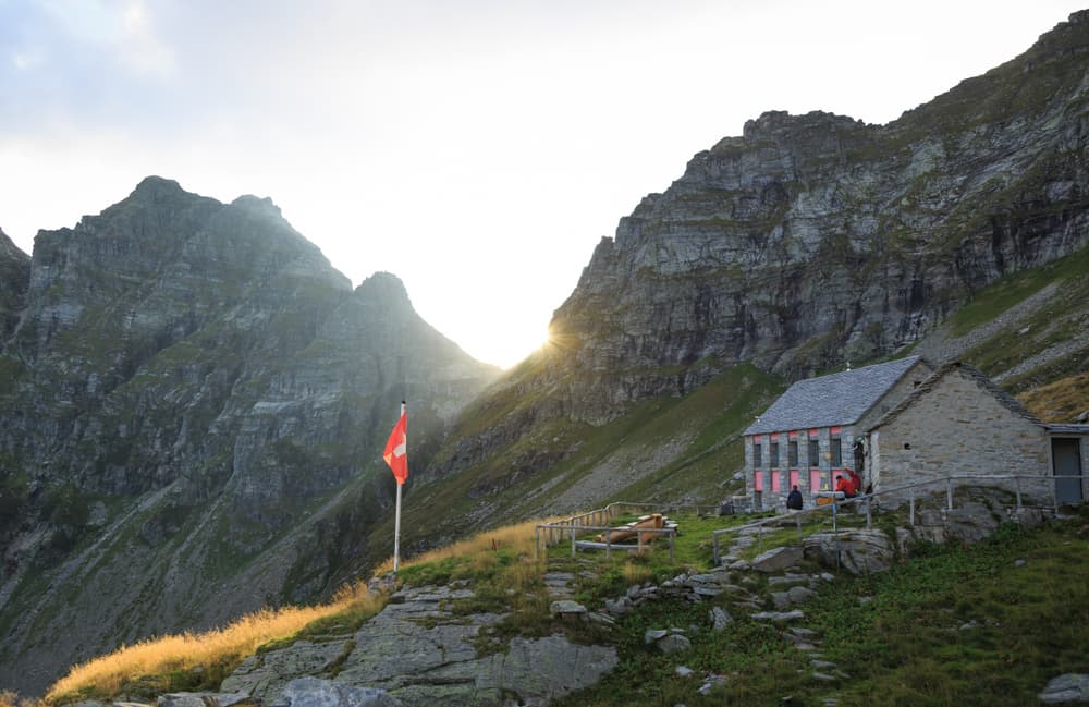
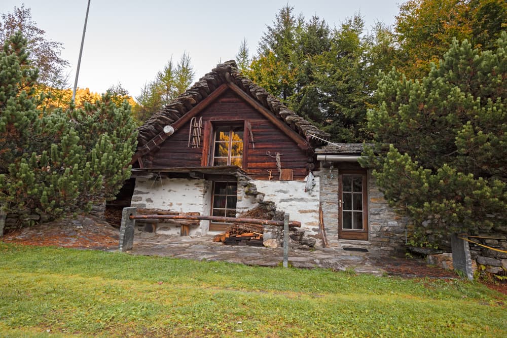
Featuring grassy ridges, scree slopes, Alpine lakes, small snowfields, wildflower meadows, rocky ridges, larch woods and passages equipped with chains, the Via Alta Vallemaggia delivers constantly changing terrain that challenges and rewards experienced alpine hikers. The route traverses multiple distinct mountain environments, from Mediterranean vegetation near Lake Maggiore to arctic-alpine conditions on high ridges. Pristine alpine lakes reflect surrounding granite peaks, while ancient larch forests provide shelter during weather changes. Rocky ridges equipped with chains and metal staples require technical scrambling skills, offering spectacular exposure over deep valleys. The trail passes numerous traditional stone huts and alpine settlements that showcase centuries of mountain culture, where local communities maintain their connection to these remote valleys through traditional farming and seasonal migration patterns.
Culture and History
The Vallemaggia region preserves authentic Ticinese mountain culture, where Italian-Swiss traditions flourish in isolation from modern development. Traditional stone architecture dots the landscape, with historic alpine buildings reflecting the area's deep cultural roots. Local communities speak Ticinese dialect and maintain customs that date back generations, offering hikers glimpses into Switzerland's Italian heritage. Ancient trade routes crossed these mountains for centuries, connecting northern European markets with Mediterranean regions. Seasonal migration patterns brought herders and their livestock to high pastures each summer, creating the network of trails and alpine settlements that modern trekkers now follow. The region's strategic location between major Alpine passes made it historically significant for trans-Alpine commerce.
Geology
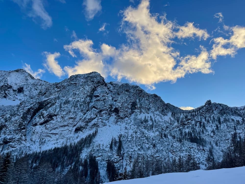
The Vallemaggia region shows the dramatic geology of the Central Alps, where ancient crystalline rocks create distinctive granite peaks and ridges. Glacial activity carved deep valleys and left hanging valleys, cirques, and moraines that define today's landscape. The contrast between the ancient gneiss and granite formations creates diverse climbing terrain from solid rock walls to loose scree slopes. Alpine ecosystems range from Mediterranean vegetation at lake level to arctic-alpine plant communities above treeline. Endemic species adapted to these extreme mountain environments include rare alpine flowers, specialized insects, and high-altitude bird species.
Essential Gear
The Via Alta Vallemaggia's technical demands requires mountaineering equipment beyond standard hiking gear. Sturdy mountaineering boots with excellent ankle support prove essential for technical terrain and scree slopes. Trickier sections are often equipped with chains or staples, but personal safety equipment, including a helmet and harness, may be recommended for particularly exposed passages. Weather protection becomes critical at high altitude, where conditions change rapidly and violently. Waterproof shell clothing, insulating layers, and emergency shelter provide essential protection against sudden storms. Navigation equipment must include detailed topographic maps, a compass, and GPS device with offline maps covering the entire route. Technical climbing gear may be necessary for certain route variations, though the standard trail typically requires only scrambling skills. Trekking poles prove invaluable for steep descents and stream crossings, while a headlamp with extra batteries allows early starts and emergency navigation.
Accommodation
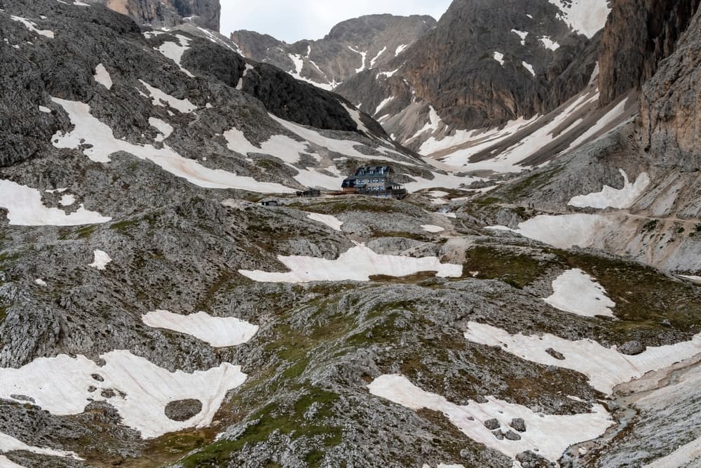
The Via Alta Vallemaggia utilizes a network of mountain huts, alpine refuges, and traditional accommodations scattered throughout the region. Overnight stays must be booked in advance to avoid unpleasant surprises and finding oneself without accommodation. Huts can now be reserved online along the 200 km route, though advance planning remains essential for securing beds during peak season. Some huts open as early as June, when connecting sections are usually still covered in snow, allowing flexible itinerary planning for different skill levels and seasonal conditions. Accommodation ranges from basic alpine shelters to more comfortable mountain hotels, with prices varying based on location, facilities, and seasonal demand.
Food and Water
Mountain huts along the Via Alta Vallemaggia typically provide meals featuring local Ticinese specialties that fuel demanding mountain days. Traditional dishes include polenta, local cheeses, cured meats, and regional wines that reflect the area's Italian cultural heritage. Half-board arrangements offer the most convenient option for most trekkers. Self-catering requires careful planning due to limited resupply opportunities along the remote route. Hikers choosing this approach must carry substantial food supplies between settlements, adding significant weight to already challenging terrain. Water sources include mountain huts, natural springs, and alpine streams, though natural water should always be treated before consumption. Emergency food supplies become essential for this challenging route, where weather delays and route difficulties can extend planned hiking times significantly.
Navigation
The Via Alta Vallemaggia alternates between mountain trails (T3) and Alpine routes (T4-T5), requiring advanced navigation skills and mountain judgment. Trail marking varies throughout the route, with some sections following established hiking trails while others cross unmarked alpine terrain demanding route-finding abilities. Detailed topographic maps covering the entire route prove essential, with Swiss Federal Office of Topography (swisstopo) 1:25,000 series providing the necessary detail for safe navigation. Digital mapping applications with offline capability serve as valuable backup, though electronic devices may fail in harsh alpine conditions.
Permits and Fees
The Via Alta Vallemaggia presents serious alpine hazards that demand respect and preparation from all participants. Short exposed stretches include risk of falling, requiring complete comfort with exposure and solid scrambling technique. Weather changes rapidly at high altitude, with storms bringing lightning, snow, and dangerous conditions even during summer months. Rockfall danger exists throughout much of the route, particularly during freeze-thaw cycles and after precipitation. Stream crossings may become dangerous during heavy rainfall or snowmelt, potentially requiring significant detours or multi-day delays until conditions improve. Emergency communication remains challenging throughout much of the route, making satellite communication devices valuable for serious emergencies. Group travel provides additional safety through shared decision-making and emergency support, though groups must maintain an appropriate size for technical terrain. Physical fitness requirements exceed those of standard long-distance hiking, with technical terrain and sustained elevation gain testing even experienced alpine hikers. Previous mountaineering experience proves essential for safely completing this demanding route.
Permits and Fees
The Via Alta Vallemaggia crosses public lands and established trails requiring no special hiking permits or entrance fees beyond accommodation costs and transportation charges. However, some sections may cross private property where local access agreements apply. Accommodation represents the primary expense, with mountain hut costs varying based on location, season, and services included. Transportation costs include access to trailheads and return transportation from various exit points. Equipment rental may be available in regional centers for specialized gear, though most technical equipment should be personally owned and familiar to ensure proper fit and reliability in challenging conditions.
Featured checkpoints
Stage 1: Cimetta to Capanna Nimi
Vallemaggia, Ticino, Switzerland
Stage 2: Capanna Nimi to Rifugio Alpe Masnee
Vallemaggia, Ticino, Switzerland
Stage 3: Rifugio Alpe Masnee to Capanna Alpe Spluga
Vallemaggia, Ticino, Switzerland
Stage 4: Capanna Alpe Spluga to Capanna Tomeo
Vallemaggia, Ticino, Switzerland
Stage 5E: Capanna Tomeo to Capanna Barone
Vallemaggia, Ticino, Switzerland
Stage 6E: Capanna Barone to Fusio
Vallemaggia, Ticino, Switzerland
All stops on this route
- 1. Stage 1: Cimetta to Capanna Nimi
- 2. Stage 2: Capanna Nimi to Rifugio Alpe Masnee
- 3. Stage 3: Rifugio Alpe Masnee to Capanna Alpe Spluga
- 4. Stage 4: Capanna Alpe Spluga to Capanna Tomeo
- 5. Stage 5E: Capanna Tomeo to Capanna Barone
- 6. Stage 6E: Capanna Barone to Fusio
- 7. Stage 7N: Fusio to Capanna Cristallina
- 8. Stage 8N: Capanna Cristallina to Rifugio Maria Luisa
- 9. Stage 10: Rifugio Maria Luisa to Capanna Piano delle Creste
- 10. Stage 9: Robièi to Rifugio Maria Luisa
- 11. Stage 11: Capanna Piano delle Creste to Capanna Grossalp
- 12. Stage 12: Capanna Grossalp to Cimalmotto
- 13. Stage 13: Cimalmotto to Capanna Ribia
- 14. Stage 14: Capanna Ribia to Capanna Alzasca
- 15. Stage 15: Capanna Alzasca to Capanna Alpe Canaa
- 16. Stage 16: Capanna Alpe Canaa to Salmone
- 17. Stage 17: Salmone to Ponte Brolla
Via Alta Vallemaggia: common questions
How long is Via Alta Vallemaggia?
Via Alta Vallemaggia covers 200 km in total.
How long does Via Alta Vallemaggia take to complete?
Most people complete Via Alta Vallemaggia in about 8-12 days.
When is the best time to do Via Alta Vallemaggia?
The best season for Via Alta Vallemaggia is Summer.
How many checkpoints does Via Alta Vallemaggia have?
Via Alta Vallemaggia has 17 checkpoints to log on the way to finishing it.