
Challenge
Soča trail
Bovec, Slovenia
About this challenge
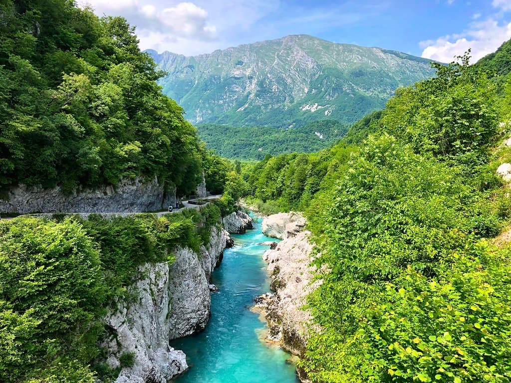
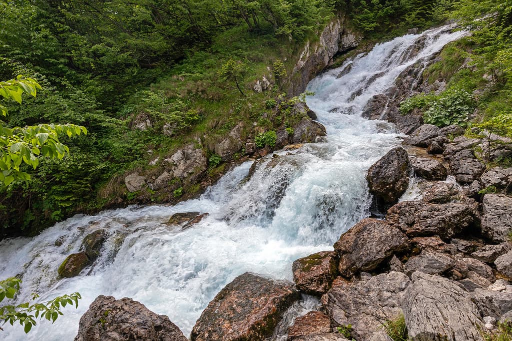
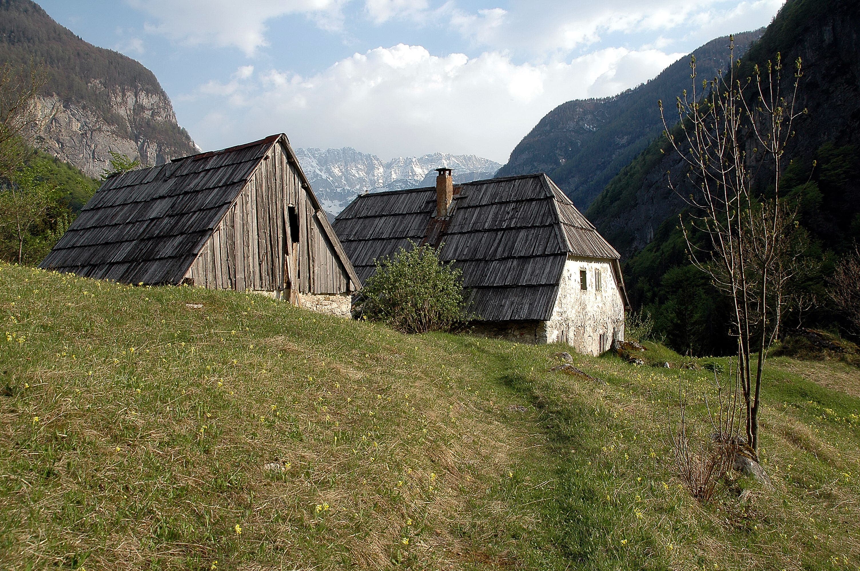
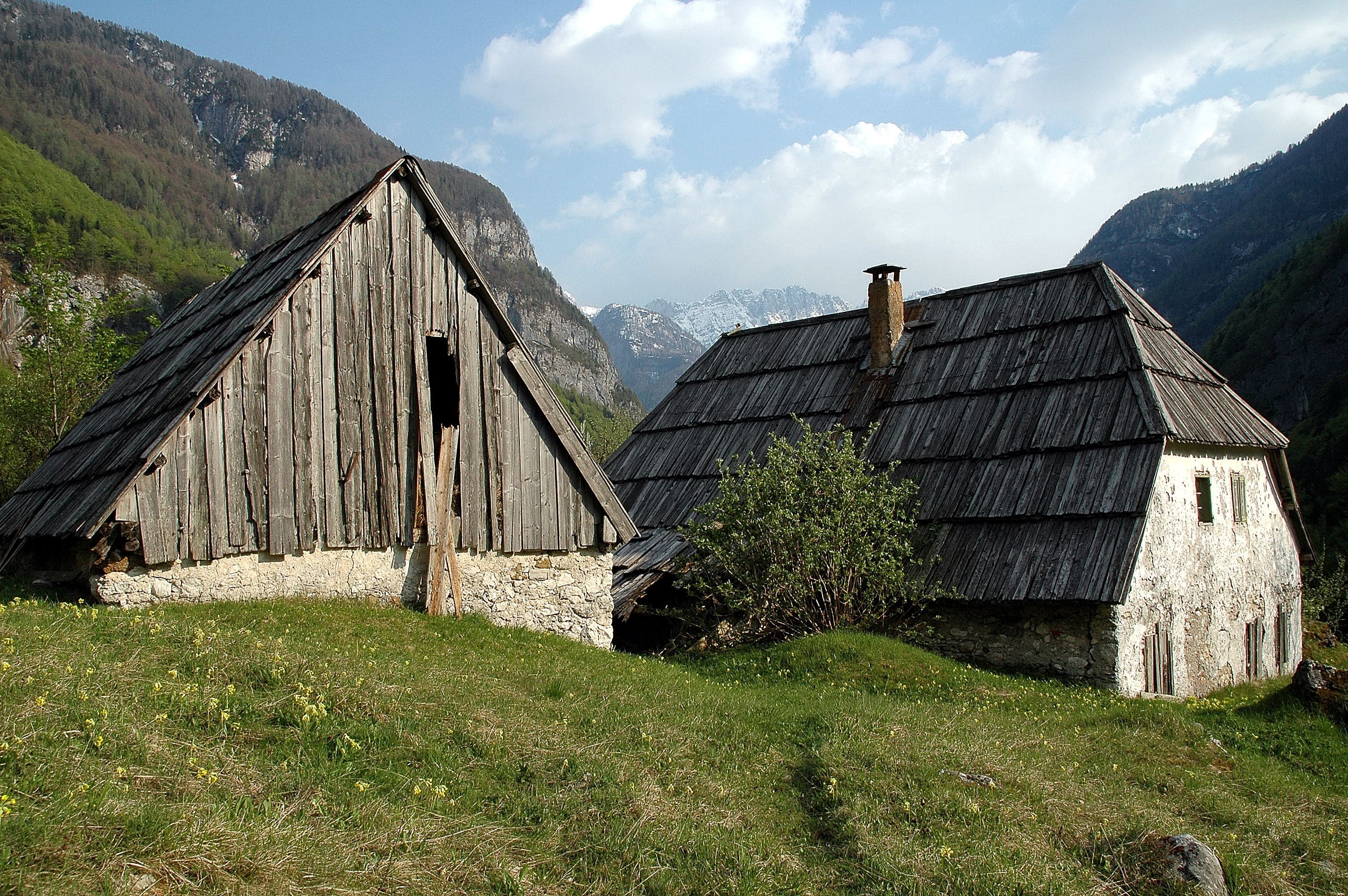
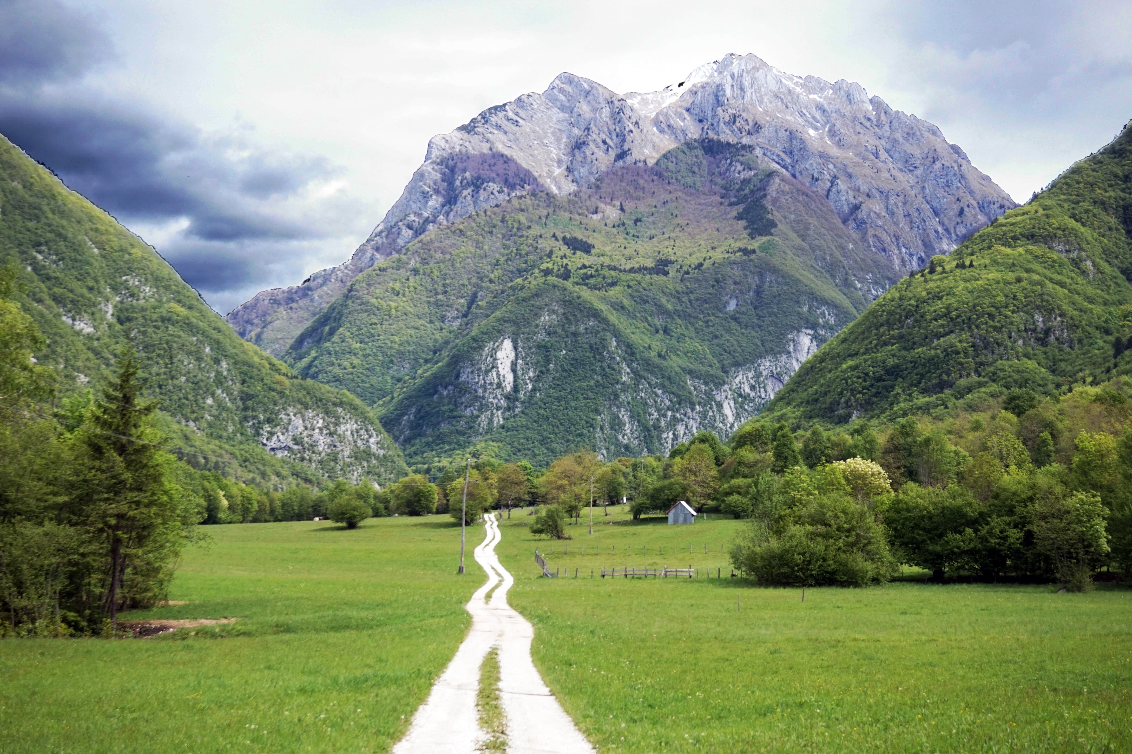
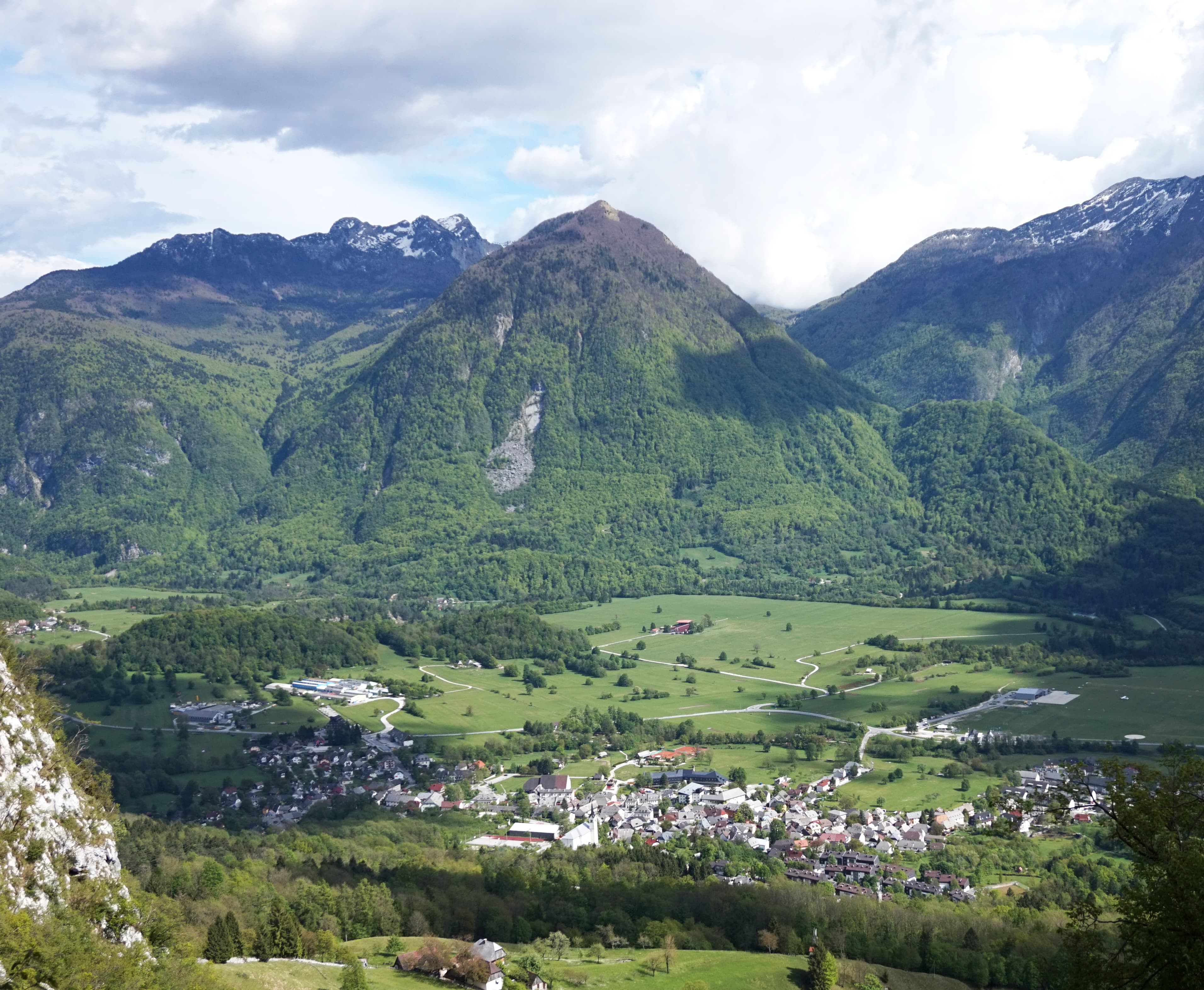
The Soška Pot is a 25 km hiking trail that follows the emerald-green Soča River through Triglav National Park. Starting at the river’s source in Trenta Valley, it winds past hanging bridges, gorges, waterfalls, and alpine meadows, offering a peaceful journey through Slovenia’s most scenic river landscape.
Quick facts
- Checkpoints
- 5
- Distance
- 27 km
- Avg Completion
- 1-3 days
- Best Season
- Anytime
Overview
The Soča Trail, known locally as Soška Pot, stands as one of Slovenia's most breathtaking hiking experiences, stretching 25 kilometers through the heart of Triglav National Park. This 27 kilometer / 15.5 mile hike starts at the source of the Soča River and ends in the town of Bovec, following the legendary emerald-green waters that have captivated visitors for generations. The source of the Soča River is located at an altitude of approximately 990 m, at the foot of the 2379 m high mountain Travnik, while the route is mostly downhill, starting at about eight hundred meters above sea level and ending at four hundred. This point-to-point trail features a gentle elevation gain of around 500 meters (approximately 1640 feet), making it an accessible hike for individuals of all skill levels.
History and Geology
The Soča Valley holds profound historical significance as a major battleground during World War I, when it formed part of the Isonzo Front between Austrian and Italian forces. The region's strategic importance stemmed from its position along ancient trade routes connecting Central Europe with the Mediterranean, leaving archaeological traces throughout the valley that demonstrate continuous human settlement spanning millennia. The trail passes through landscapes shaped by the Soča River's exceptional geological formation. The water flows from a karst spring that during long dry periods almost dries up, but otherwise is a relatively strong karst spring. The river carved its distinctive emerald channel through limestone bedrock over thousands of years, creating the narrow gorges and dramatic rock formations that define today's hiking experience. The surrounding Julian Alps formed through tectonic collision between the African and European plates, creating the limestone and dolomite mountains that tower above the valley. Glacial action during ice ages further sculpted the landscape, forming the characteristic U-shaped valleys and steep-sided gorges that make the Soča Trail so visually stunning. This geological diversity supports unique alpine ecosystems ranging from riverside forests to high mountain meadows.
Safety
Essential gear for the Soča Trail should accommodate Slovenia's variable mountain climate, with layered clothing systems handling temperature changes between valley floors and exposed ridge sections. Waterproof rain gear protects during sudden Alpine weather changes, while comfortable hiking boots with good grip handle wet rocks near river crossings and occasional muddy trail sections. The picturesque footbridges, which are used to cross the river several times, are a particular attraction, though numerous suspension bridges span the ice-cold mountain river requiring careful attention during wet conditions. Follow the signs that say "Soška Pot", and consider downloading GPS tracks as backup navigation since mountain weather can create visibility challenges. The Soča Trail is generally rated as an easy hiking trail, making it suitable for most hikers, including families. While the terrain is varied, with some sections having gentle slopes and others more rugged, well-marked paths and frequent signposts make it an enjoyable experience. However, river proximity requires awareness of slippery rocks and changing water levels, particularly during spring snowmelt when currents become stronger and water temperatures remain extremely cold year-round.
Nutrition and Other
Accommodation options along the Soča Trail cater to various preferences and budgets. The valley offers traditional mountain huts, family-run guesthouses, and modern hotels in towns like Bovec and Kobarid. Many accommodations provide packed lunches for hikers and feature local specialties including trout from pristine Alpine streams, wild game, and seasonal mountain herbs that reflect centuries of valley culinary traditions. In the summer months, there is a public bus service that connects various points along the trail, allowing flexible planning for accommodation booking and resupply. Villages throughout the valley maintain small markets and restaurants where hikers can purchase fresh supplies and experience authentic Slovenian hospitality in traditional Alpine settings. Water sources along the Soča Trail remain excellent throughout most sections, with the river itself providing crystal-clear mountain water, though purification remains recommended for safety. Villages offer reliable tap water and fountain access, while natural springs appear frequently along mountain sections of the route.
Featured checkpoints
Source of the Soča
Trenta, Bovec, Slovenia
Trenta
Trenta, Bovec, Slovenia
Soča Village
Soča, Bovec, Slovenia
Kal-Koritnica
Kal-Koritnica, Bovec, Slovenia
Bovec
Bovec, Slovenia
All stops on this route
- 1. Source of the Soča
- 2. Trenta
- 3. Soča Village
- 4. Kal-Koritnica
- 5. Bovec
Soča trail: common questions
How long is Soča trail?
Soča trail covers 27 km in total.
How long does Soča trail take to complete?
Most people complete Soča trail in about 1-3 days.
When is the best time to do Soča trail?
The best season for Soča trail is Anytime.
How many checkpoints does Soča trail have?
Soča trail has 5 checkpoints to log on the way to finishing it.