
Challenge
Bay Circuit Trail & Greenway
Greater Boston



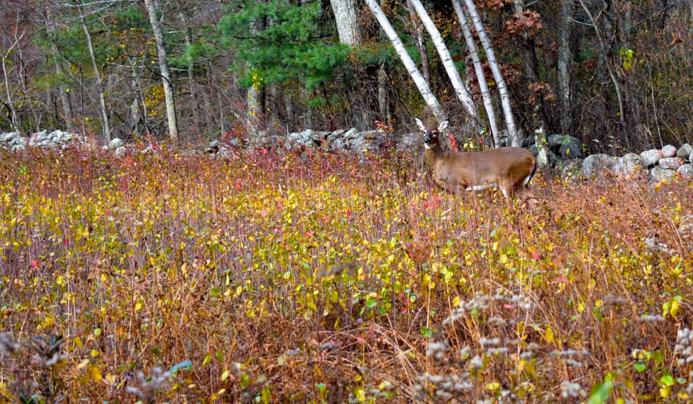
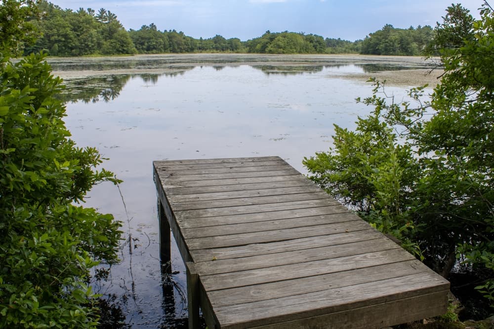
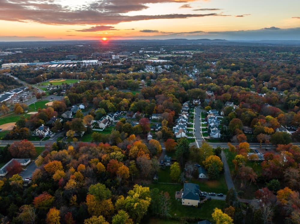
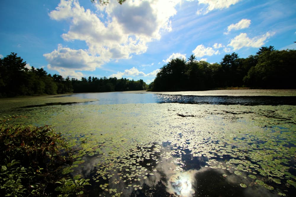

About this challenge
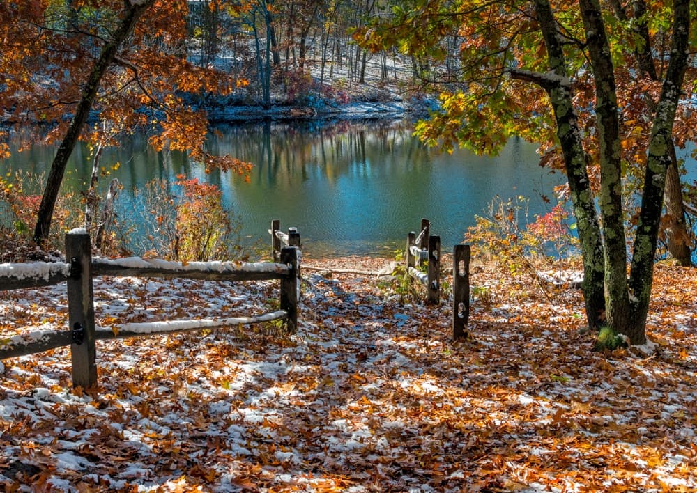
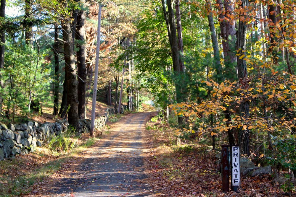
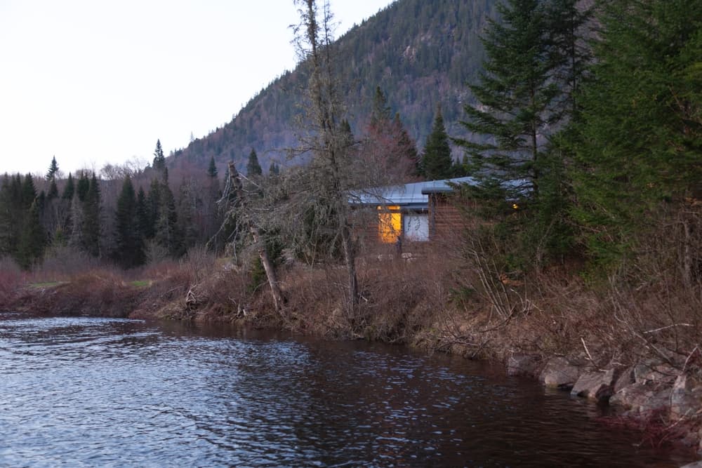
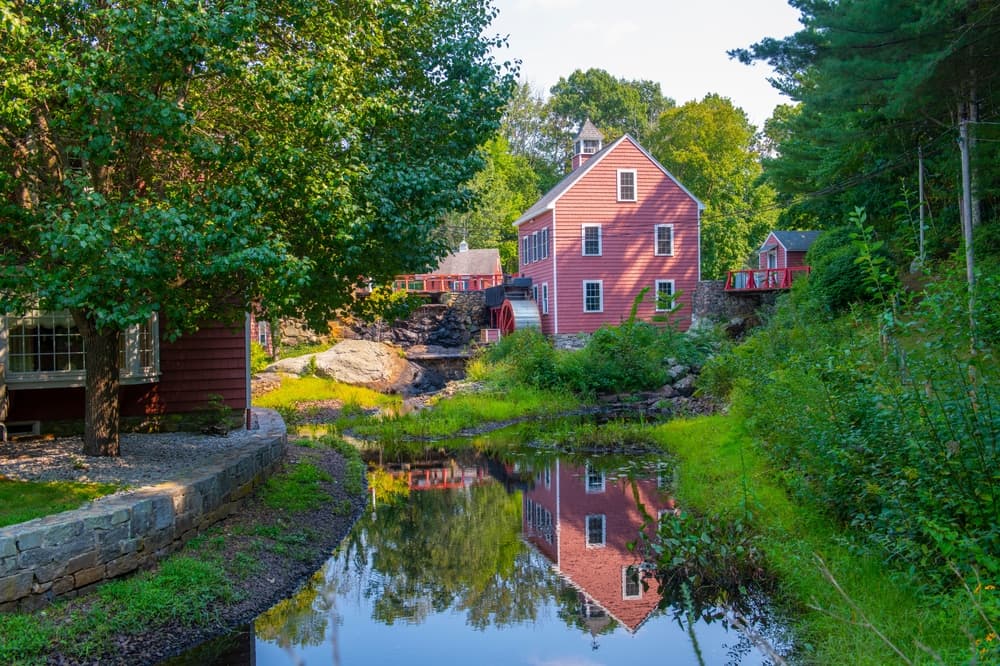
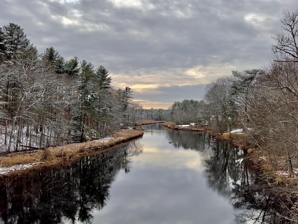
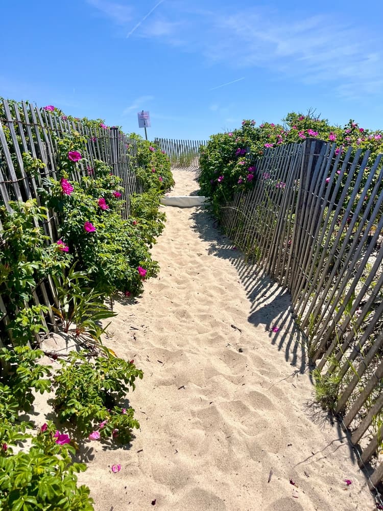
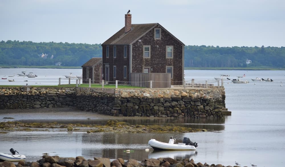
The Boston Community Trail (BCT) is a versatile 230-mile multi-use pathway stretching across Eastern Massachusetts. Connecting 38 towns, this accessible trail offers something for everyone – from walkers and hikers to cyclists and winter sports enthusiasts. Conveniently linked to the T transit system, the trail winds through diverse natural landscapes, providing urban and suburban residents with an easy escape into nature. Whether you're seeking exercise, recreation, or a peaceful outdoor experience, the BCT delivers a scenic journey through the beautiful Massachusetts countryside.Learn More about the Trail https://www.baycircuit.org/
Quick facts
- Checkpoints
- 26
- Distance
- 230 miles
- Avg Completion
- 23-25 days
- Best Season
- Anytime
Overview
The Bay Circuit Trail & Greenway stands as Massachusetts' longest and most accessible long-distance hiking trail, offering outdoor enthusiasts an extraordinary journey through Eastern Massachusetts' diverse landscapes and communities. At 231 miles, it's Massachusetts' longest footpath, connecting urban and suburban areas to pristine natural spaces in a remarkable arc around Greater Boston. The BCT is a 230+ mile multi-use trail outside of Boston where you can walk, hike, ride, ski, or just get some fresh air.
Statistics and Elevation Profile
The Bay Circuit Trail and Greenway or Bay Circuit, is a Massachusetts rail trail and greenway connecting the outlying suburbs of Boston from Plum Island in Newburyport to Kingston Bay in Duxbury, a distance of 200 miles (320 km), though current measurements show the trail has expanded to over 230 miles. The complete route features moderate elevation changes, ideal for hikers seeking a less demanding long-distance experience compared to mountain trails. Start: Plum Island, Newburyport (sea level) End: Kingston Bay, Duxbury (sea level) Total Elevation Gain: Around 1900 meters (approximately 6234 feet) Trail Classification: Multi-use recreational trail suitable for hiking, biking, cross-country skiing, and walking The Bay Circuit Trail follows a gentle arc around Boston, with most sections remaining below 300 feet in elevation. Daily hiking segments typically range from 8-15 miles, making it accessible for hikers with varying fitness levels. The gradual elevation changes and well-maintained pathways create an ideal environment for both day hiking and extended backpacking adventures.
Highlights and Landmarks
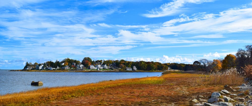
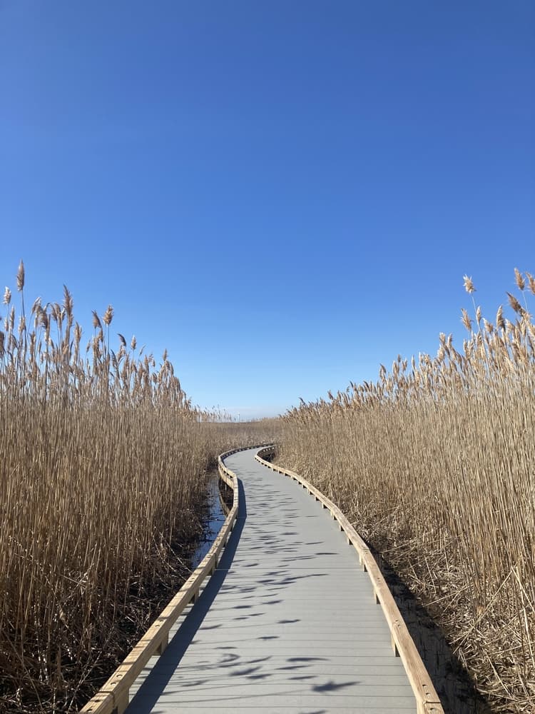
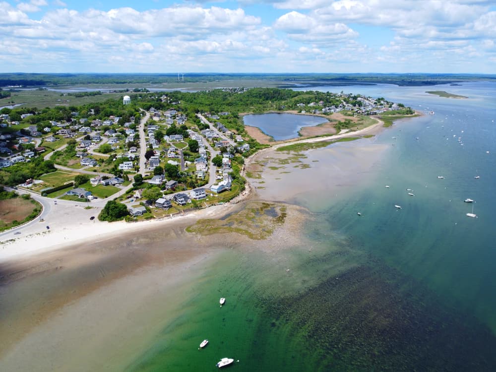
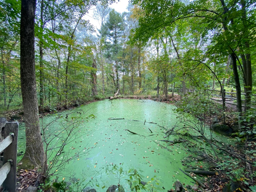
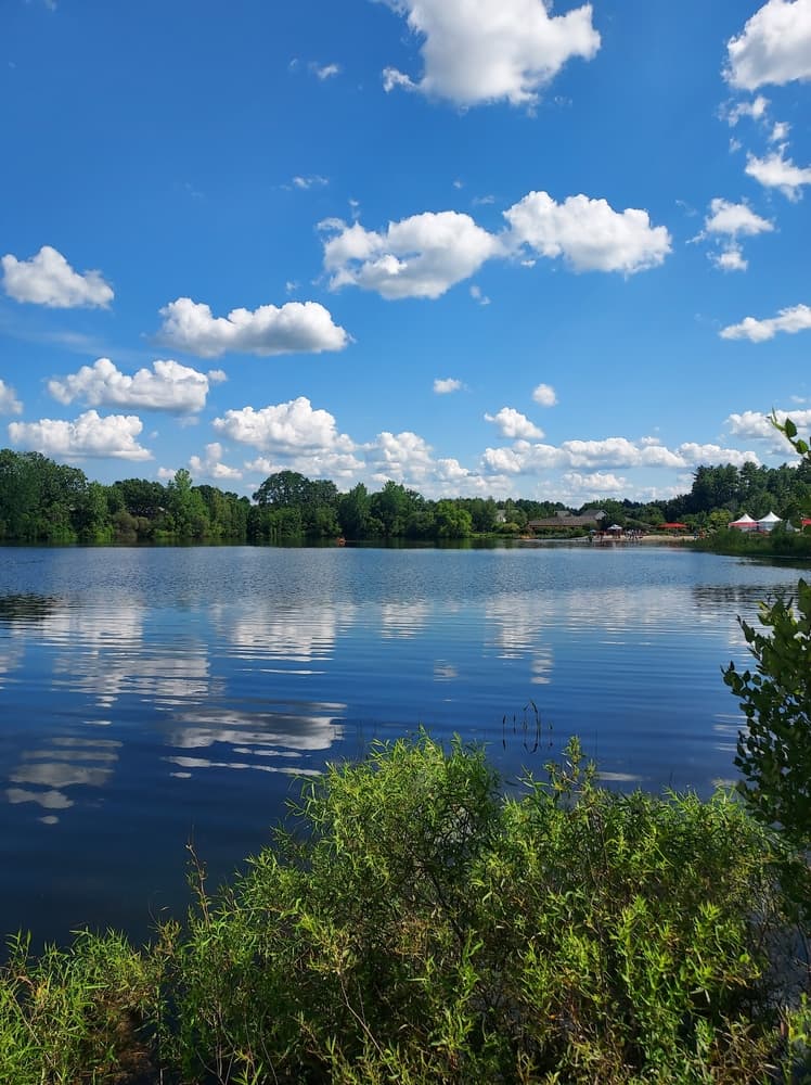
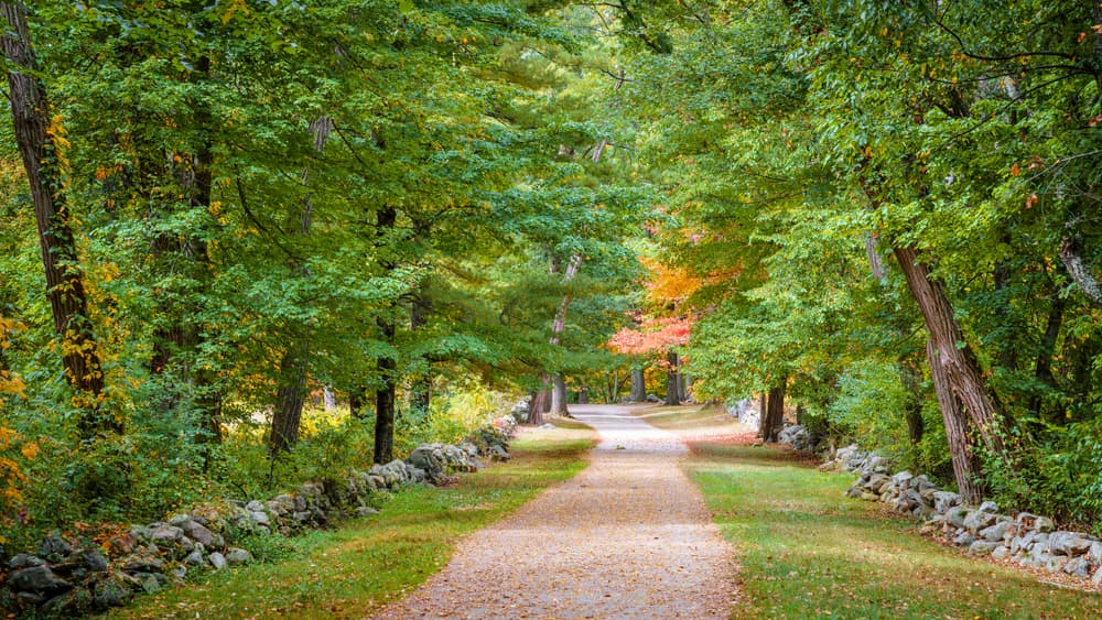
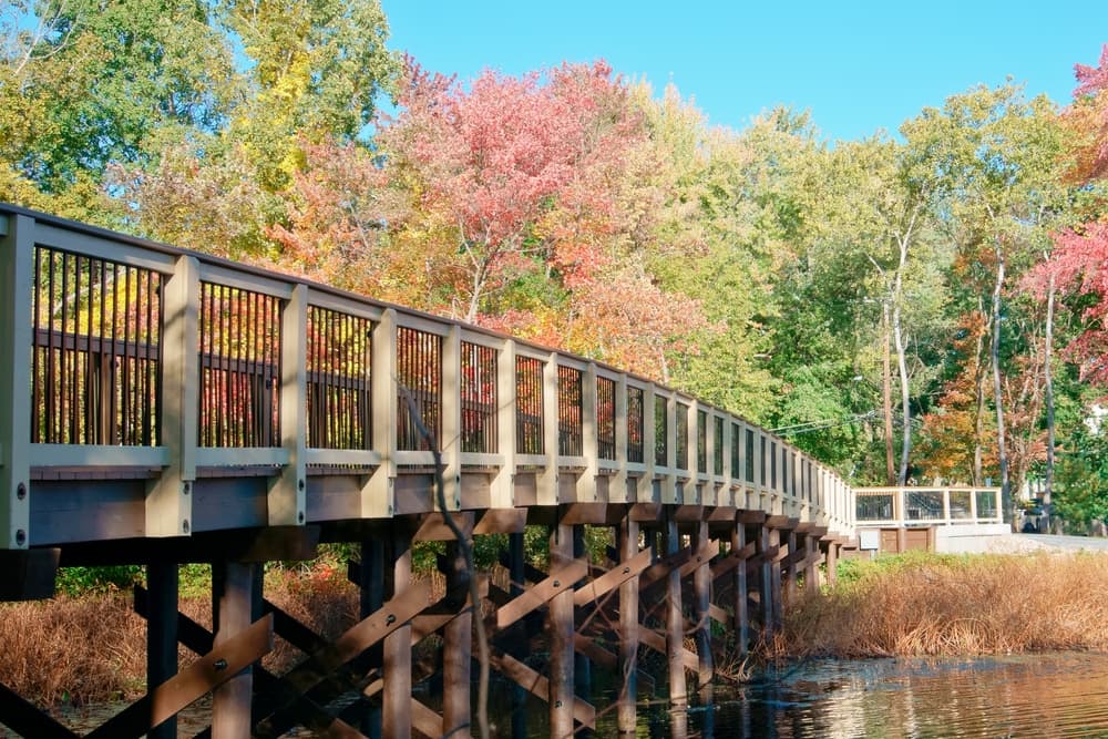
The Bay Circuit Trail showcases Eastern Massachusetts' most scenic and historically significant landscapes, passing through diverse ecosystems that range from coastal marshlands to dense forests and rolling farmland. Landmarks include Henry David Thoreau's Walden Pond, Great Meadows, providing hikers with connections to America's literary and conservation heritage. The northern sections near Plum Island offer spectacular coastal scenery with salt marshes, wildlife refuges, and opportunities for bird watching. Moving inland, the trail traverses through historic mill towns and preserved forests that showcase New England's industrial heritage alongside protected natural areas. Central portions of the trail connect numerous state parks, conservation lands, and town forests, creating a continuous corridor of green space through increasingly developed suburban areas. Notable stops include Harold Parker State Forest, offering pristine woodlands and camping opportunities, and various town conservation areas that preserve local ecosystems.
Culture and History
The Bay Circuit Trail represents nearly a century of conservation vision and community collaboration, originally conceived in the 1920s as part of a broader regional planning initiative to preserve open space around Boston. This ambitious project has evolved through decades of dedicated volunteer work, municipal cooperation, and conservation efforts by organizations like the Appalachian Mountain Club and local land trusts. The trail passes through communities rich in American history, from colonial settlements to 19th-century mill towns that powered the Industrial Revolution. Many sections follow historic pathways, including old roads, railroad corridors, and traditional walking routes that connected rural communities for generations.
Geology
The Bay Circuit Trail crosses three distinct geological regions that tell the story of New England's ancient past and glacial history. The northern coastal sections feature marine sediments and salt marsh formations created by rising sea levels following the last ice age, supporting unique plant communities adapted to saltwater conditions. Central trail sections traverse the classic New England landscape of granite bedrock covered by glacial till, creating the characteristic rolling hills and scattered boulders that define much of Massachusetts. Ancient metamorphic rocks dating back hundreds of millions of years form the foundation for dense forests of oak, maple, and pine that dominate these inland areas.
Essential Gear
Comfortable, broken-in hiking boots or sturdy walking shoes Moisture-wicking clothing layers for temperature regulation Waterproof jacket for New England's unpredictable weather Day pack or backpack appropriate for planned hiking duration Water bottles or hydration system with purification capability Trail maps available from Bay Circuit Trail Alliance Smartphone GPS apps with offline capability Compass for backup navigation in dense forest sections Emergency whistle for safety in remote areas Bay Circuit Trail hiking requires less specialized equipment than mountain trails, making it accessible for hikers with basic outdoor gear. The trail's moderate terrain and proximity to civilization reduce technical requirements while still demanding proper preparation for varying weather conditions and multi-day adventures. Seasonal Considerations: Weather protection becomes critical during New England's variable seasons, with summer thunderstorms, autumn cold snaps, and winter snow requiring appropriate gear adjustments. Insect protection proves essential during black fly and mosquito seasons in wooded and wetland areas. Multi-Day Gear: Extended hiking requires camping equipment suitable for established campgrounds and designated camping areas. Lightweight backpacking gear allows comfortable multi-day adventures while meeting varying accommodation requirements along the route.
Accommodation
The Bay Circuit Trail offers diverse accommodation options ranging from established campgrounds to budget lodging in trail towns, making extended hiking accessible for various preferences and budgets. The trail's proximity to populated areas provides more accommodation flexibility than remote wilderness trails. Trail towns throughout the route provide hotels, motels, and bed-and-breakfast establishments within walking distance or short drives from trail access points. These accommodations range from budget chain hotels to historic inns, offering shower facilities, meals, and resupply opportunities. Summer and fall represent peak seasons requiring advance reservations for popular camping areas and accommodations. Spring and winter offer more availability but require weather-appropriate preparation. Many municipal camping areas operate on first-come, first-served basis with phone reservation systems.
Food and Water
The Bay Circuit Trail's passage through populated areas provides numerous resupply opportunities, making food planning less critical than for remote wilderness trails. However, proper nutrition and hydration planning remain essential for comfortable hiking experiences, especially during multi-day adventures. Natural water sources along the trail include streams, ponds, and springs, though all natural water requires treatment due to potential contamination from urban runoff and wildlife. Many trail towns provide potable water at municipal buildings, libraries, and recreational facilities. Grocery stores, convenience stores, and restaurants in trail communities offer regular resupply opportunities for extended hiking. Most sections of the trail pass within a few miles of commercial districts, making food procurement relatively straightforward with basic planning. Local restaurants and cafes in trail communities provide opportunities to experience regional cuisine while supporting local businesses. Many establishments cater specifically to outdoor enthusiasts, offering hearty meals and hiker-friendly services. Hikers preferring self-catering can easily carry multi-day food supplies due to the trail's moderate difficulty and regular resupply opportunities. Lightweight camping stoves work well at designated camping areas with proper fire safety precautions.
Navigation
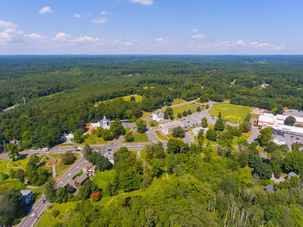
The trail corridor is T-accessible, making the Bay Circuit Trail uniquely accessible via public transportation. The well-marked trail system uses consistent signage and blazing throughout most sections, though navigation skills remain important for complex urban and suburban routing. The Bay Circuit Trail follows a consistent white diamond blazing system with BCT abbreviations at major junctions and decision points. Supplementary signage provides mileage information and directional guidance at trail intersections and access points. Trail routing through developed areas requires careful attention to signage and blazing, as the trail sometimes follows sidewalks, park paths, and road shoulders through suburban communities. Detailed maps become essential for successfully navigating complex intersections and development areas.
Permits and Fees
Bay Circuit Trail hiking presents different safety considerations than remote wilderness trails, with unique challenges related to road crossings, urban interfaces, and varying user groups sharing multi-use pathways. Awareness and preparation address these specific safety concerns effectively. Cyclists, horseback riders, and other trail users share many sections, requiring trail etiquette awareness and constant attention to surroundings. Established right-of-way protocols help ensure safe interactions among different user groups. New England weather creates typical outdoor risks including thunderstorms, temperature extremes, and seasonal ice conditions. The trail's accessibility allows for quick evacuation to shelter during severe weather events, reducing exposure compared to remote wilderness areas. The Bay Circuit Trail crosses public lands and established pathways requiring minimal permits or fees for most hiking activities. Non parking fee, so that's an added advantage at many access points, making the trail highly accessible for budget-conscious outdoor enthusiasts. No permits or fees are required for day hiking on most sections of the Bay Circuit Trail. The trail crosses public lands, conservation areas, and established rights-of-way that provide free public access for non-motorized recreational activities. Most trail access points provide free parking, though some locations may have time restrictions or require municipal parking permits. Popular trailheads near urban areas may charge daily parking fees, typically ranging from $2-10 depending on location and season.
Featured checkpoints
Newburyport
Newburyport, Massachusetts, United States
Ipswich
Ipswich, Massachusetts, United States
Topsfield
Topsfield, Massachusetts, United States
Boxford
Boxford, Massachusetts, United States
North Andover
North Andover, Massachusetts, United States
Andover
Andover, MA
All stops on this route
- 1. Newburyport
- 2. Ipswich
- 3. Topsfield
- 4. Boxford
- 5. North Andover
- 6. Andover
- 7. Tewksbury
- 8. Bedford
- 9. Chelmsford
- 10. Acton
- 11. Concord
- 12. Lincoln
- 13. Weston
- 14. Sudbury
- 15. Ashland
- 16. Sherborn
- 17. Medfield
- 18. Walpole
- 19. Sharon
- 20. Easton
- 21. East Bridgewater
- 22. West Bridgewater
- 23. Hanson
- 24. Pembroke
- 25. Duxbury
- 26. Kingston
Bay Circuit Trail & Greenway: common questions
How long is Bay Circuit Trail & Greenway?
Bay Circuit Trail & Greenway covers 230 miles in total.
How long does Bay Circuit Trail & Greenway take to complete?
Most people complete Bay Circuit Trail & Greenway in about 23-25 days.
When is the best time to do Bay Circuit Trail & Greenway?
The best season for Bay Circuit Trail & Greenway is Anytime.
How many checkpoints does Bay Circuit Trail & Greenway have?
Bay Circuit Trail & Greenway has 26 checkpoints to log on the way to finishing it.