
Appalachian Trail by Train from NYC: Cat Rocks or Pawling Nature Reserve?
Take Metro-North to the Appalachian Trail from NYC. Compare Cat Rocks and Pawling Nature Reserve, with train, trail-map and return-planning tips.

Hike List
Posted on 09 Oct, 2026
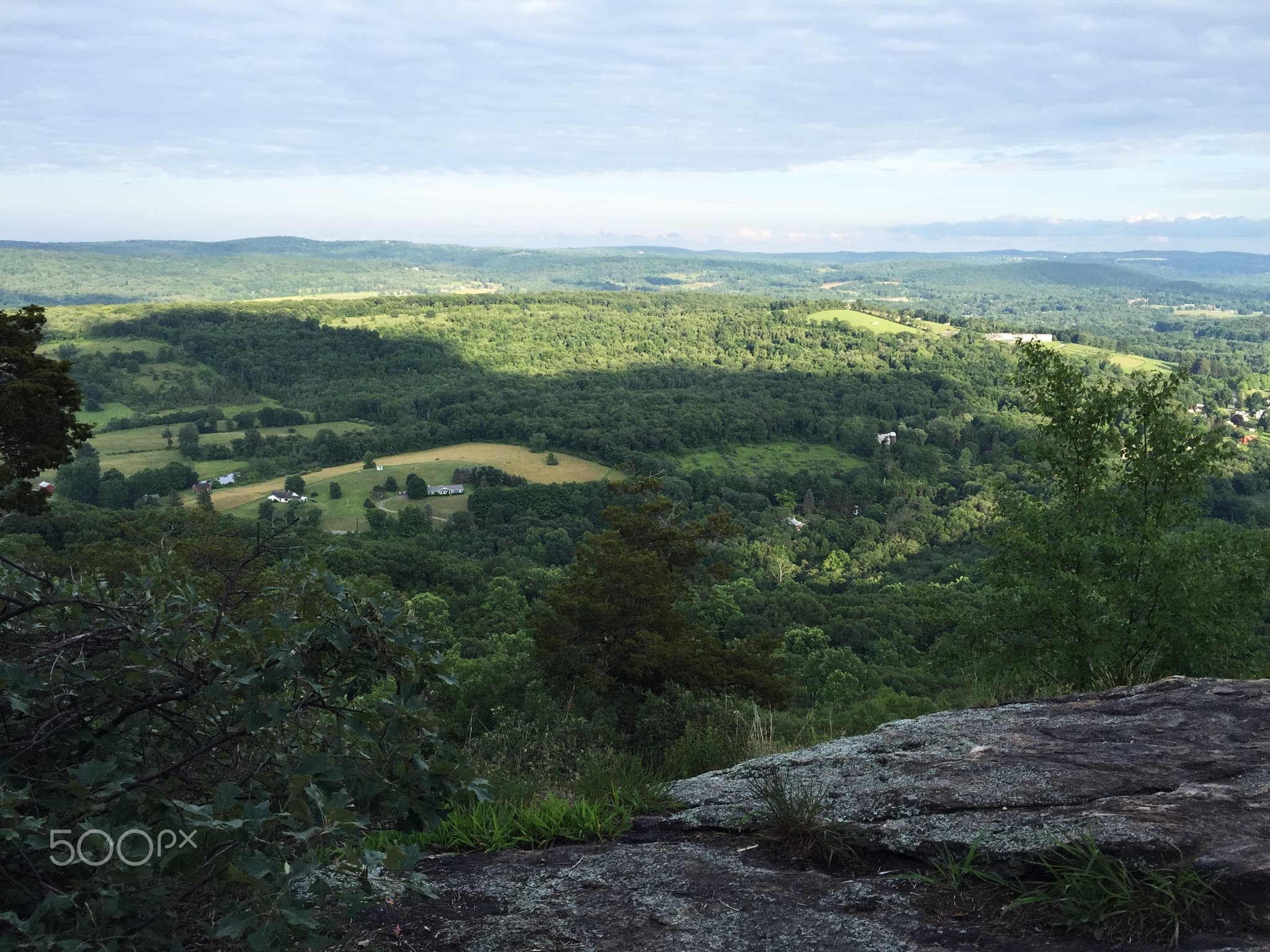

Yes: you can take a train from New York City directly to the Appalachian Trail. Metro-North's Harlem Line has an Appalachian Trail stop beside the trail's Route 22 crossing, near Pawling. There is one big catch: trains typically stop here on weekends and holidays during hiking season, and service is limited. Choose your return train before deciding how far to hike.
From this one platform, you have two different options. Walk south/west on the A.T. across the Great Swamp boardwalk toward Cat Rocks, or north/east into Pawling Nature Reserve. Both are described by the Appalachian Trail Conservancy (ATC).
Cat Rocks or Pawling Nature Reserve?
| Outing | Published distance | What to expect | Choose it for |
|---|---|---|---|
| Cat Rocks: south/west | About 7 miles out and back (ATC); local guide says 7.2 miles | Boardwalk through Great Swamp, Corbin Hill, Dover Oak, rocky lookout and scrambling | A longer day with a viewpoint |
| Pawling Nature Reserve: north/east | About 5 miles round-trip (ATC's suggested outing) | Fields, Hammersley Ridge and forest, with separate reserve trail junctions | A more adaptable woodland walk |
These are published suggested outings, not independently verified GPX routes. Actual distance changes with your turnaround point and any side trails. The Nature Conservancy separately lists 2.8 miles of the A.T. within the preserve; that is a one-way trail segment inside the reserve, not the length of the ATC's five-mile suggested walk from the station.
How to get to the A.T. stop from Grand Central
Open MTA TrainTime, enter Grand Central and Appalachian Trail, and select your actual travel date. The tiny stop is on the Harlem Line. Some itineraries require a connection at Southeast. Do not use departure times or fares quoted in old trail blogs: timetables change, and there may be only a few opportunities to board or return. The New York–New Jersey Trail Conference says service is typically on weekends and holidays during hiking season.
First check a suitable southbound train leaving the A.T. stop. Work backwards: hiking hours, rocks and wet sections, food breaks, a conservative turnaround time, then time to reach the platform. Do not plan to catch a different train from Pawling by accident. Pawling and Harlem Valley–Wingdale have more regular service but are not at the trail crossing; the Trail Conference places each about two to three miles from the A.T. in this area.
Southbound: Great Swamp, Dover Oak and Cat Rocks
For Cat Rocks, follow the white-blazed Appalachian Trail south/west over the boardwalk, up Corbin Hill, down toward Dover Oak at West Dover Road, then onward to the lookout. Return along the same route. The ATC calls this approximately seven miles out and back and describes rock scrambling. A Dutchess County hiking guide gives 7.2 miles. Neither number should be treated as an exact GPS total.
Do not mistake the wetland boardwalk for the difficulty of the whole day. The outing progresses from lowland crossing to hilly and rocky terrain. Wet ledges and a tight return window are good reasons to turn back before the summit. An out-and-back is still a worthwhile A.T. walk if you adjust the distance to your conditions.
Northbound: Pawling Nature Reserve
For the reserve, cross Route 22 carefully and follow the A.T. northbound through the fields. The Nature Conservancy states that the preserve begins about 0.9 hiking miles from the station. Its A.T. section climbs Hammersley Ridge through upland woods and can be moderate to difficult; the manager notes steep ground, some scrambling, roots and wet or muddy areas after rain. The ATC's roughly five-mile suggested outing makes use of the reserve's red trail, but check each junction on the manager's map rather than assuming it is a signed five-mile loop.
The preserve is open dawn to dusk. The manager prohibits camping, fires and hunting there. Not all side trails are equally maintained: The Nature Conservancy says the purple trail is unfinished and impassable in places, and flags other incomplete markings. Do not improvise a connection to save a few minutes on the way back to the train.
Use the right map for each job
For trail context, open ATC's interactive A.T. map, produced with the National Park Service. For colored trail intersections and preserve rules, use the preserve's own PDF map. For the big picture, Wyld Quest's Appalachian Trail map lets you explore the full route and select New York. Its downloadable official-source GPX is general reference, not a trail-tested Cat Rocks itinerary or current access clearance.
Before boarding
- Confirm both directions at the A.T. station for your date in TrainTime.
- Choose one outing and save a current trail map offline.
- Set a conservative turnaround time before you leave the platform.
- Carry water, layers and a headlamp even for a day hike; do not depend on cell coverage.
- Recheck ATC trail notices and preserve guidance; changes or closures can override an old GPX track.
The most useful part of the train connection is not simply reaching the A.T. without a car. It is choosing a walk that fits a real timetable. If you're planning a longer project, read how long it takes to walk the Appalachian Trail and explore the whole trail on Wyld Quest.
.jpeg)